Elevation of Slippery Bill Mountain North, Montana, USA
Location: United States > Montana > Hungry Horse >
Longitude: -113.2741666
Latitude: 48.2052777
Elevation: 2263m / 7425feet
Barometric Pressure: 0KPa
Related Photos:

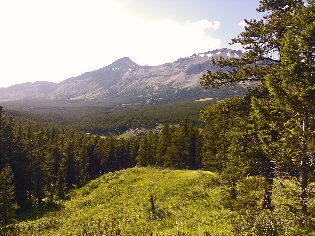
A Mountain Drive through the Flathead National Forest.

Glacier NP from Rear of Train 3

Beaver Pond
Hiking in Montana
Topographic Map of Slippery Bill Mountain North, Montana, USA
Find elevation by address:

Places near Slippery Bill Mountain North, Montana, USA:
Slippery Bill Mountain South
Square Mountain
Bullshoe Mountain
Crescent Cliff
Running Crane Mountain
Big Lodge Mountain
Elkcalf Mountain
Patrol Ridge
Two Medicine Ridge East
16900 Us-2
Many Glacier Hotel
Summit Trailhead
171 Slippery Bill Rd
252 Slippery Bill Rd
Blacktail
Devils Hump
Forster Mountain
Vinegar Mountain
Mount Furlong
Snowslip Mountain
Recent Searches:
- Elevation map of Greenland, Greenland
- Elevation of Sullivan Hill, New York, New York, 10002, USA
- Elevation of Morehead Road, Withrow Downs, Charlotte, Mecklenburg County, North Carolina, 28262, USA
- Elevation of 2800, Morehead Road, Withrow Downs, Charlotte, Mecklenburg County, North Carolina, 28262, USA
- Elevation of Yangbi Yi Autonomous County, Yunnan, China
- Elevation of Pingpo, Yangbi Yi Autonomous County, Yunnan, China
- Elevation of Mount Malong, Pingpo, Yangbi Yi Autonomous County, Yunnan, China
- Elevation map of Yongping County, Yunnan, China
- Elevation of North 8th Street, Palatka, Putnam County, Florida, 32177, USA
- Elevation of 107, Big Apple Road, East Palatka, Putnam County, Florida, 32131, USA
- Elevation of Jiezi, Chongzhou City, Sichuan, China
- Elevation of Chongzhou City, Sichuan, China
- Elevation of Huaiyuan, Chongzhou City, Sichuan, China
- Elevation of Qingxia, Chengdu, Sichuan, China
- Elevation of Corso Fratelli Cairoli, 35, Macerata MC, Italy
- Elevation of Tallevast Rd, Sarasota, FL, USA
- Elevation of 4th St E, Sonoma, CA, USA
- Elevation of Black Hollow Rd, Pennsdale, PA, USA
- Elevation of Oakland Ave, Williamsport, PA, USA
- Elevation of Pedrógão Grande, Portugal