Elevation of Vinegar Mountain, Montana, USA
Location: United States > Montana > Hungry Horse >
Longitude: -113.51315
Latitude: 48.1799576
Elevation: 2052m / 6732feet
Barometric Pressure: 79KPa
Elevation Map:
Satellite Map:
Related Photos:
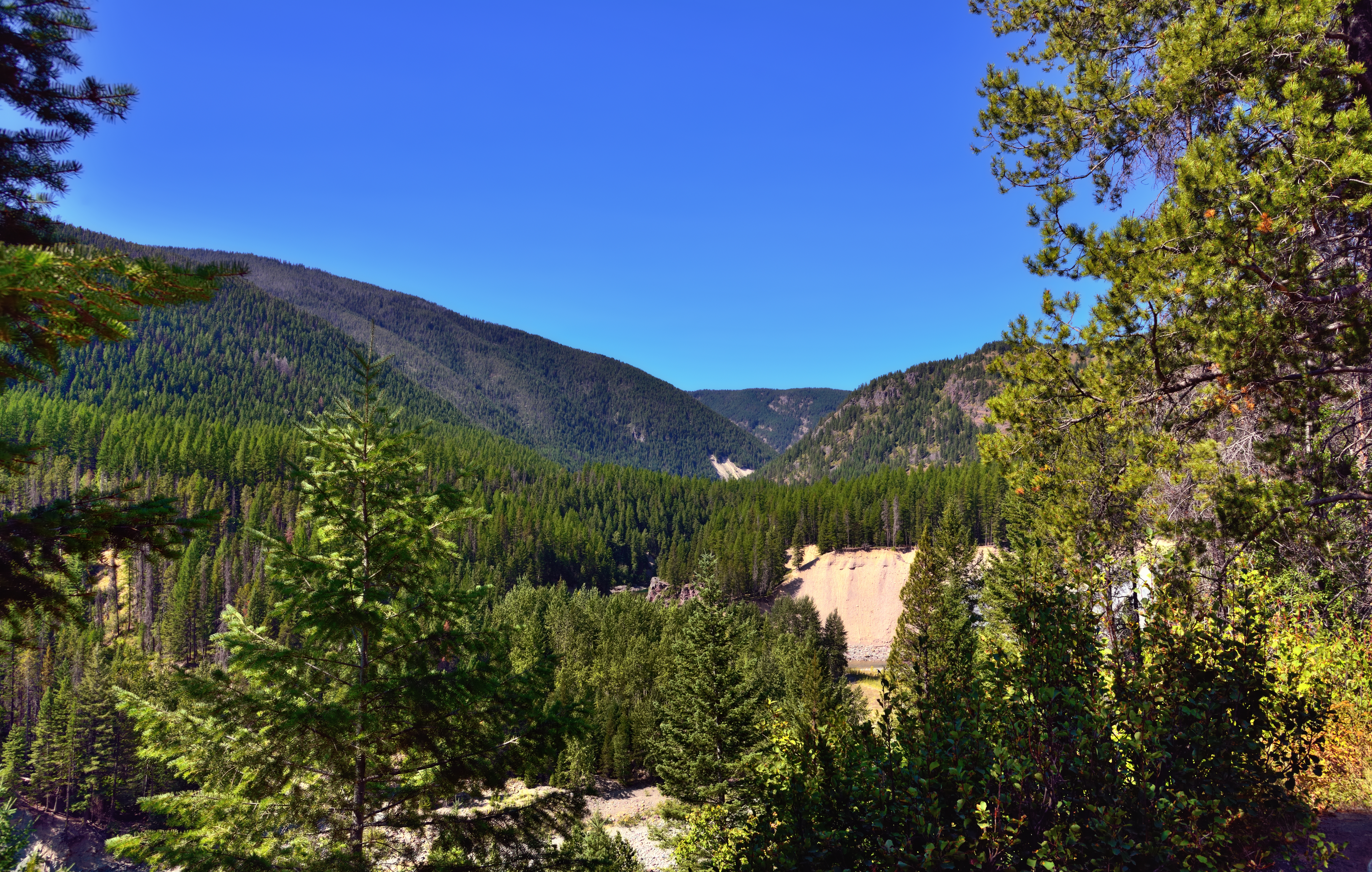
A View through Nearby Trees at Goat Lick
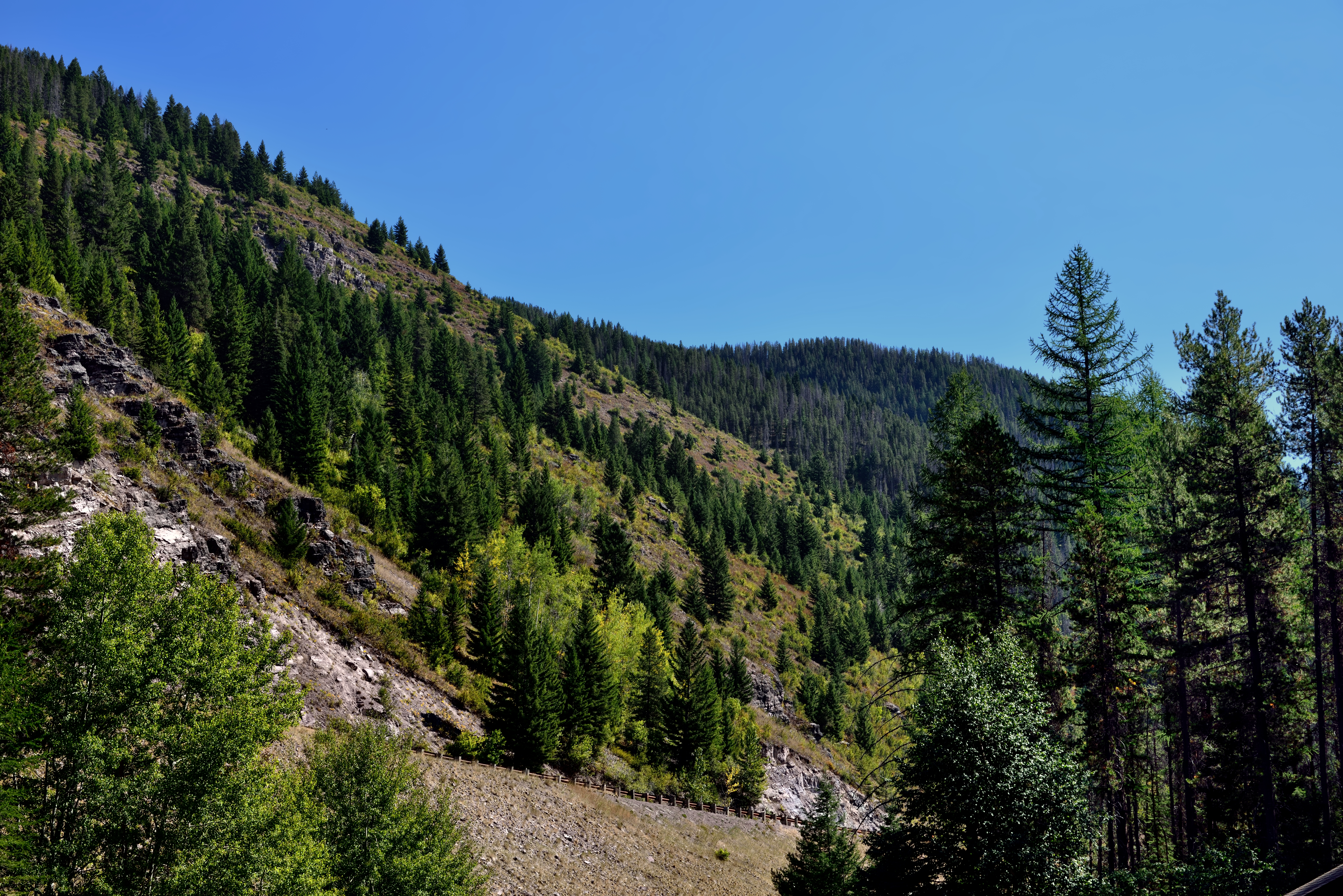
A Hillside of Trees

A Mountain Drive through the Flathead National Forest.

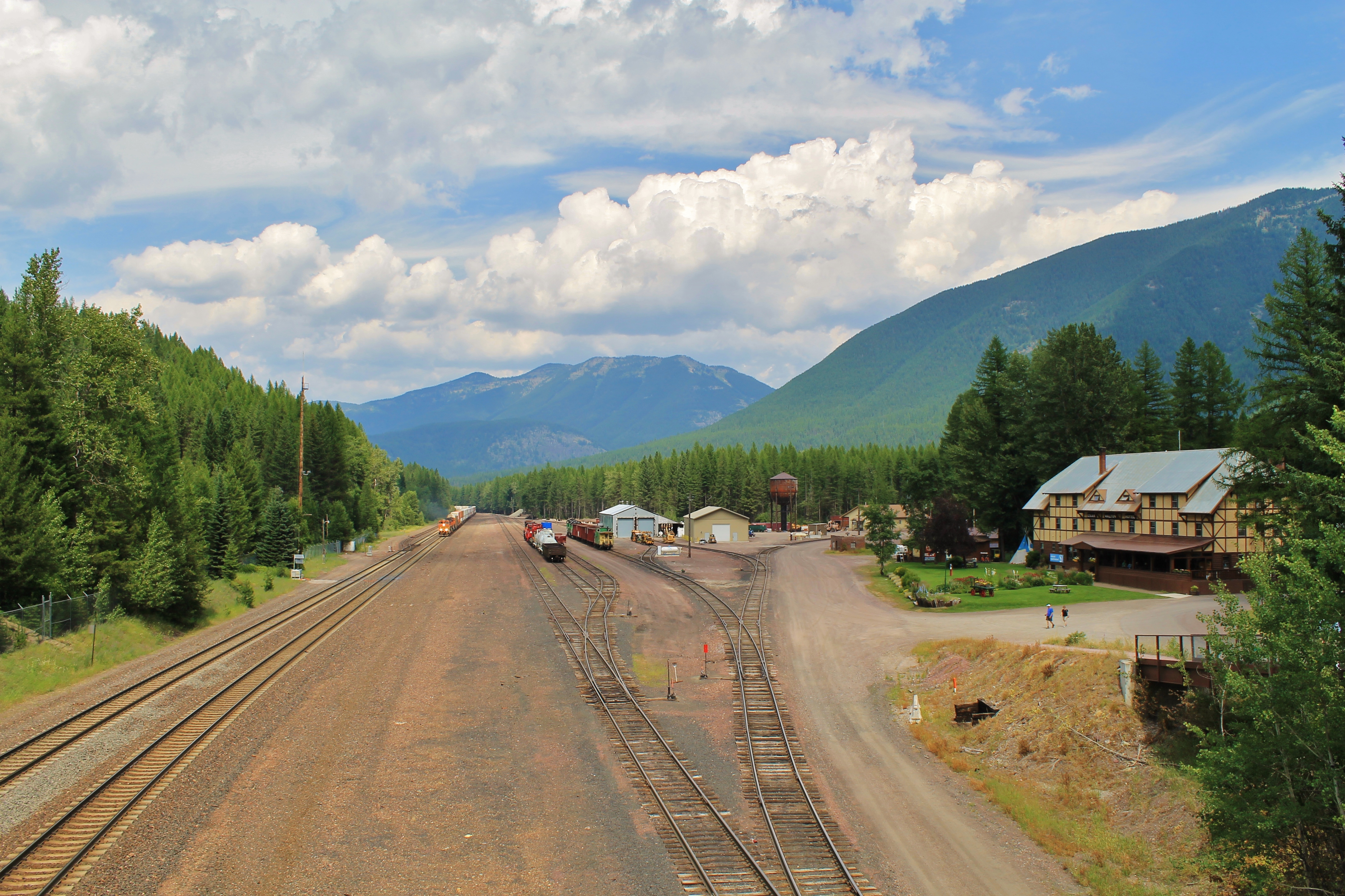
Glacier NP from Rear of Train 3
View from above.

Beaver Pond
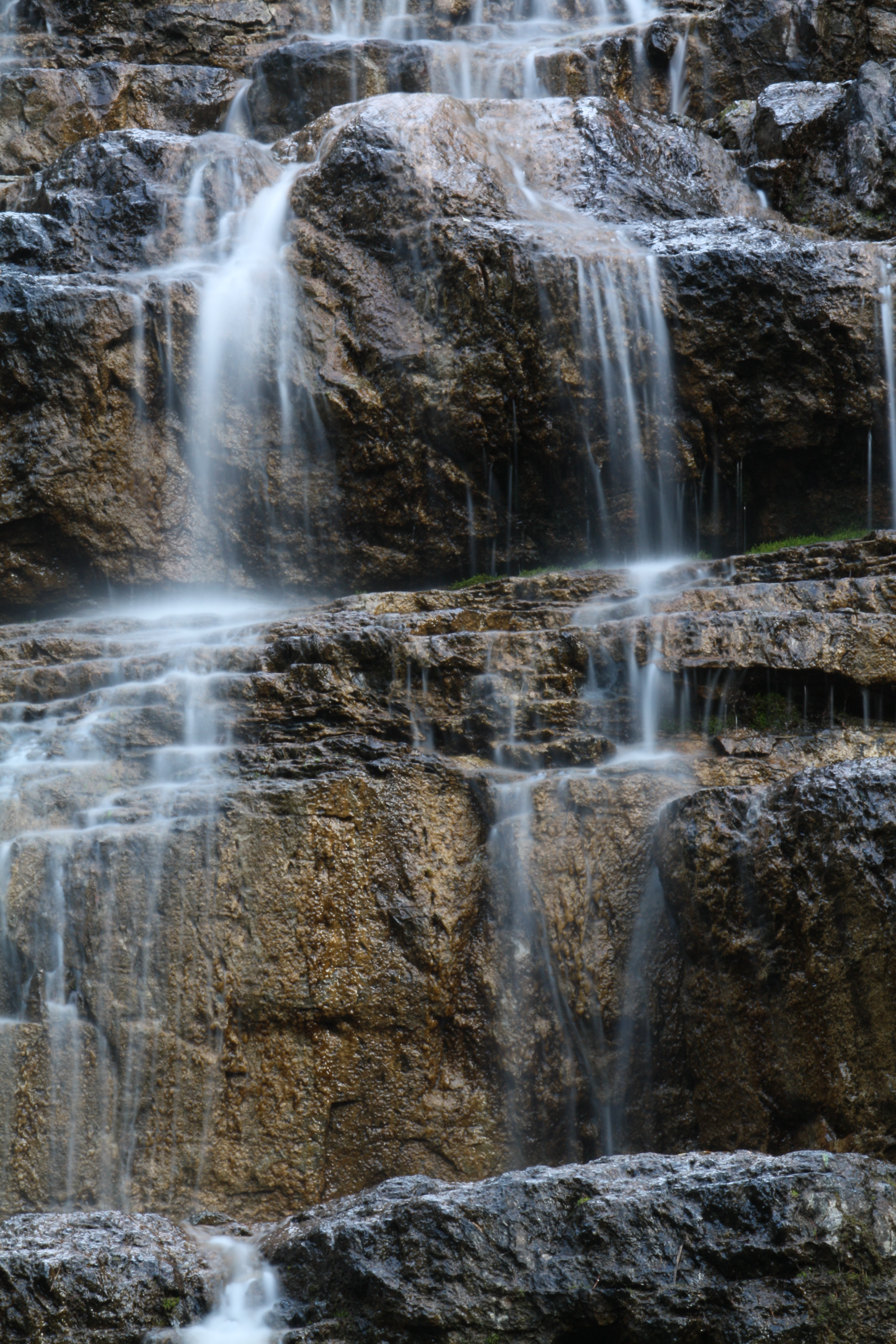
Water Cascade Long Exposure
Topographic Map of Vinegar Mountain, Montana, USA
Find elevation by address:

Places near Vinegar Mountain, Montana, USA:
Forster Mountain
Mount Furlong
Devils Hump
Snowslip Mountain
Running Rabbit Mountain
Blacktail
171 Slippery Bill Rd
252 Slippery Bill Rd
Patrol Ridge
16900 Us-2
Square Mountain
Many Glacier Hotel
Elkcalf Mountain
Slippery Bill Mountain North
Summit Trailhead
Slippery Bill Mountain South
Crescent Cliff
Running Crane Mountain
Bullshoe Mountain
Big Lodge Mountain
Recent Searches:
- Elevation of Corso Fratelli Cairoli, 35, Macerata MC, Italy
- Elevation of Tallevast Rd, Sarasota, FL, USA
- Elevation of 4th St E, Sonoma, CA, USA
- Elevation of Black Hollow Rd, Pennsdale, PA, USA
- Elevation of Oakland Ave, Williamsport, PA, USA
- Elevation of Pedrógão Grande, Portugal
- Elevation of Klee Dr, Martinsburg, WV, USA
- Elevation of Via Roma, Pieranica CR, Italy
- Elevation of Tavkvetili Mountain, Georgia
- Elevation of Hartfords Bluff Cir, Mt Pleasant, SC, USA