Elevation of Elbe-Parey, Germany
Location: Germany > Saxony-anhalt >
Longitude: 11.997959
Latitude: 52.3839048
Elevation: 35m / 115feet
Barometric Pressure: 101KPa
Elevation Map:
Satellite Map:
Related Photos:
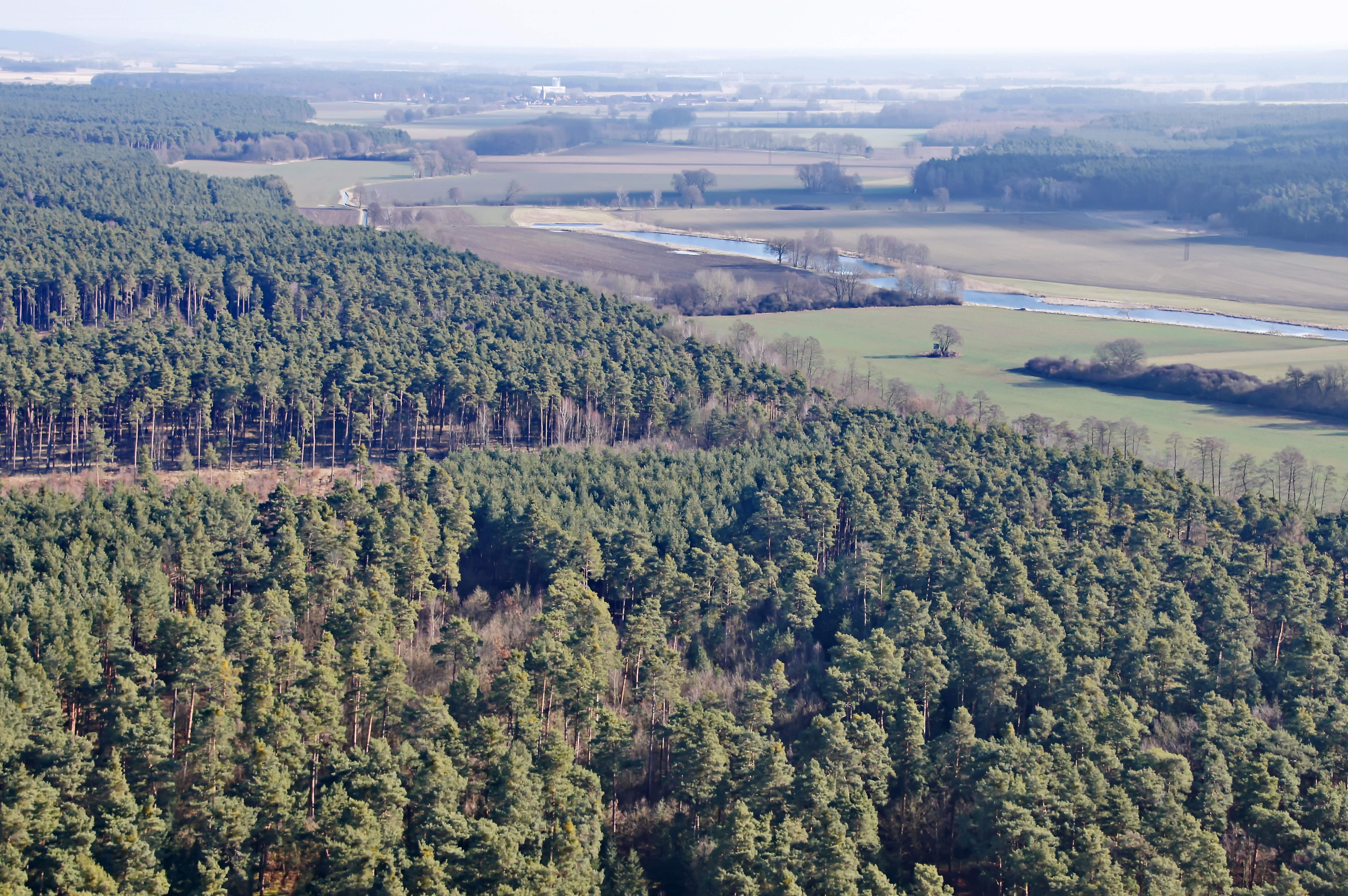
Wald bei Genthin
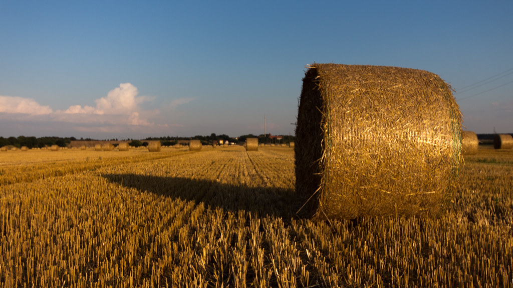
a round bale
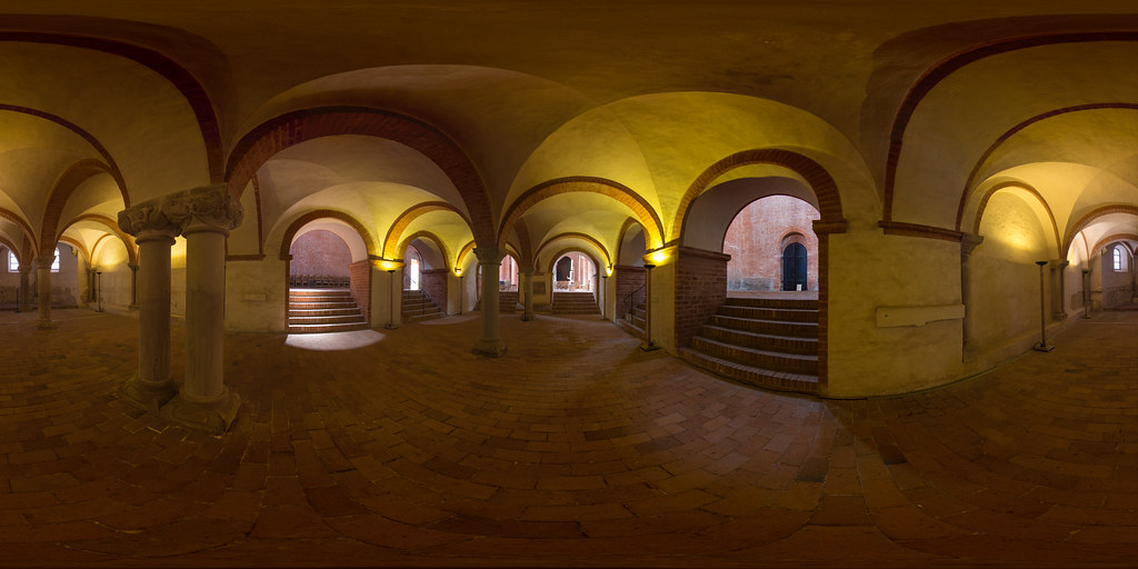
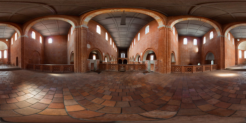
Krypta (360 x 180)
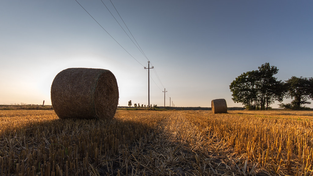
hay (in bales)
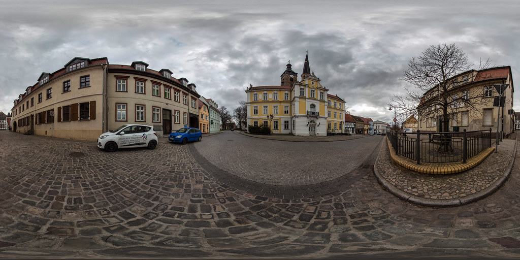
Breiter Weg (360 x 180)
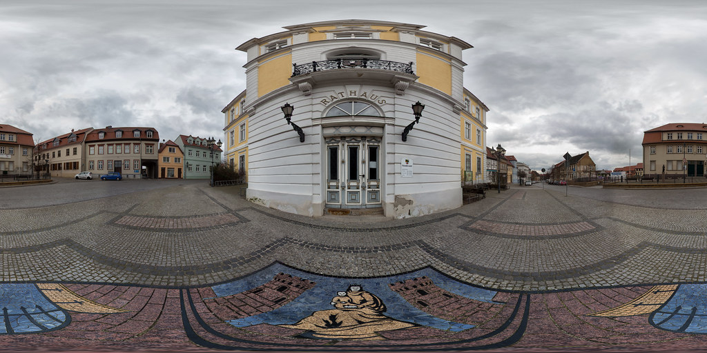
Historisches Rathaus (360 x 180)
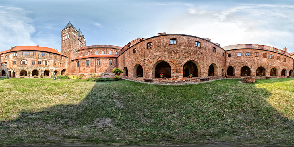
Klosterhof (360 x 180)
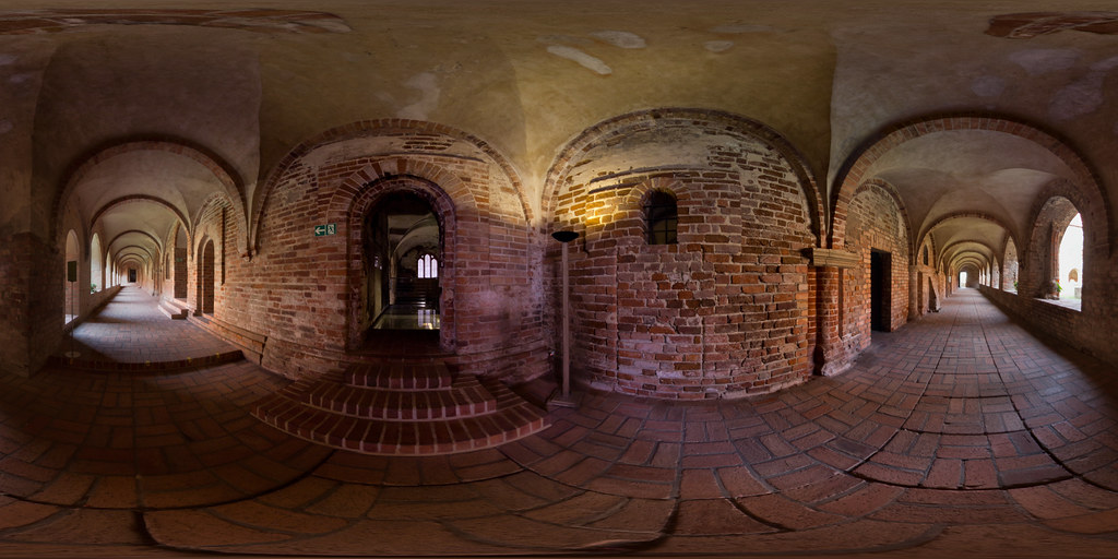
Remtergang (360 x 180)
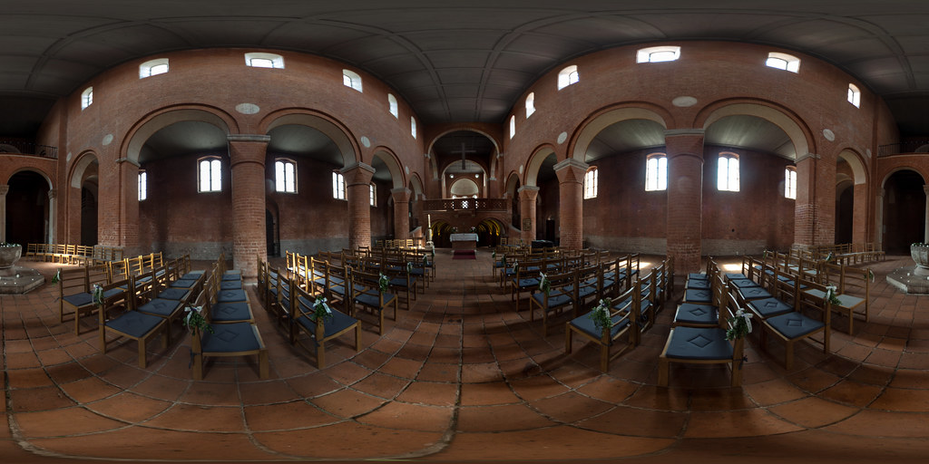
Kirche mit Westempore und Taufbecken (360 x 180)
Oberhalb der Krypta (360 x 180)
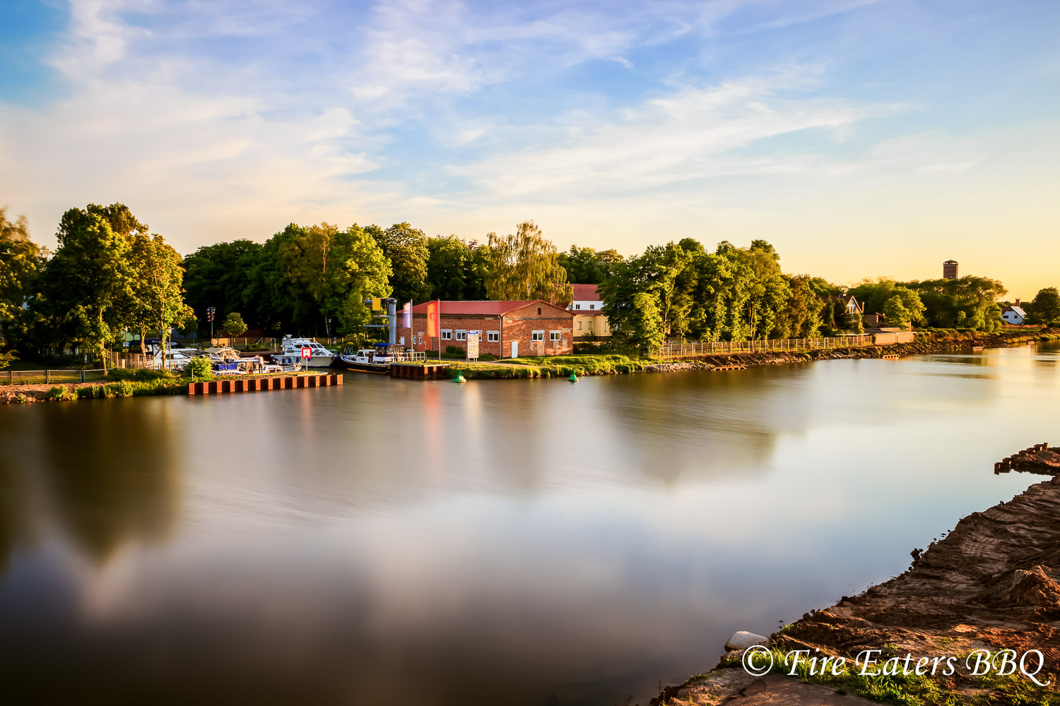
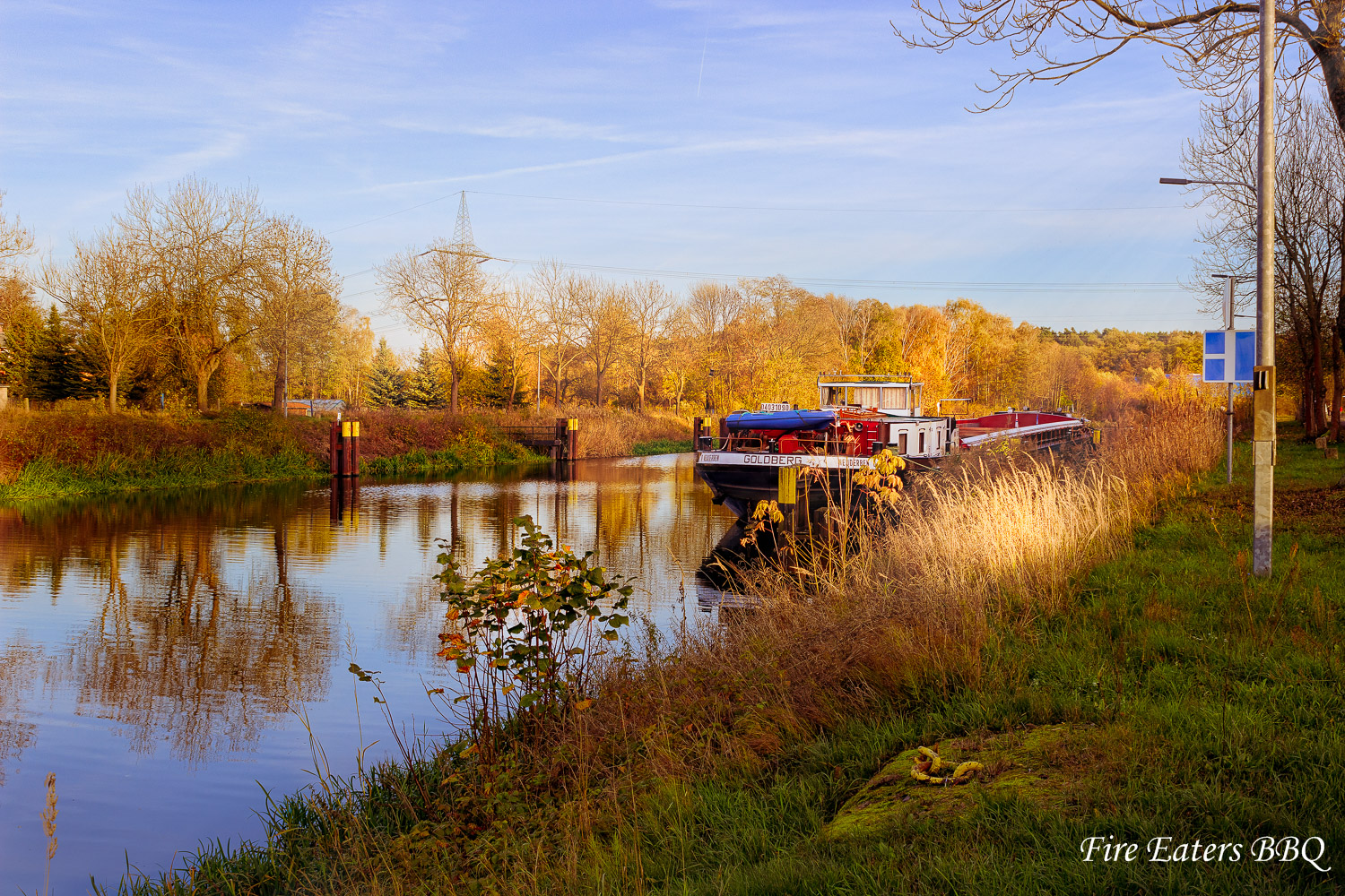
Sportboothafen Genthin
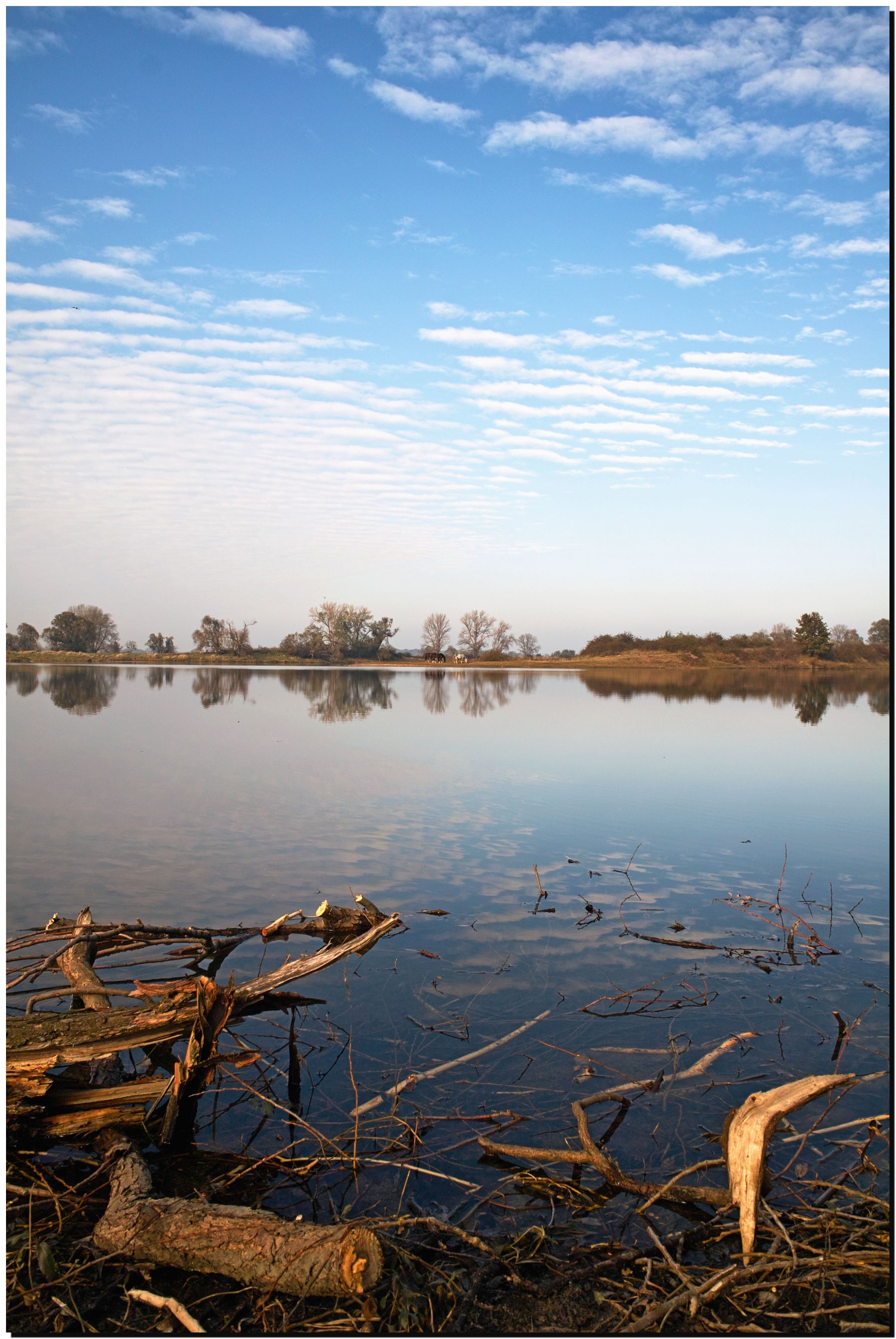
An der Elbe
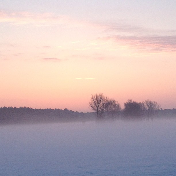
Sonnenuntergang am Tanger
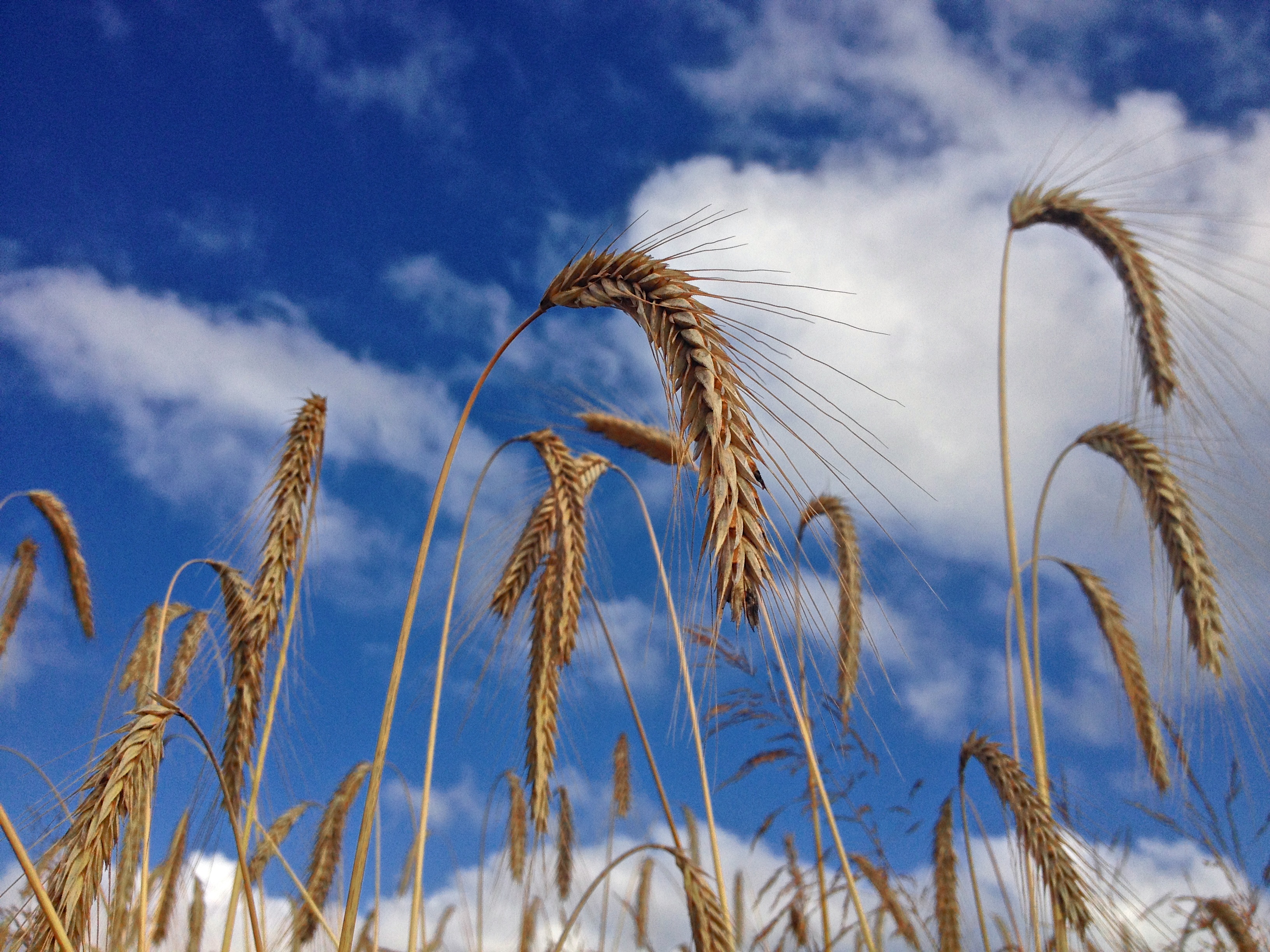
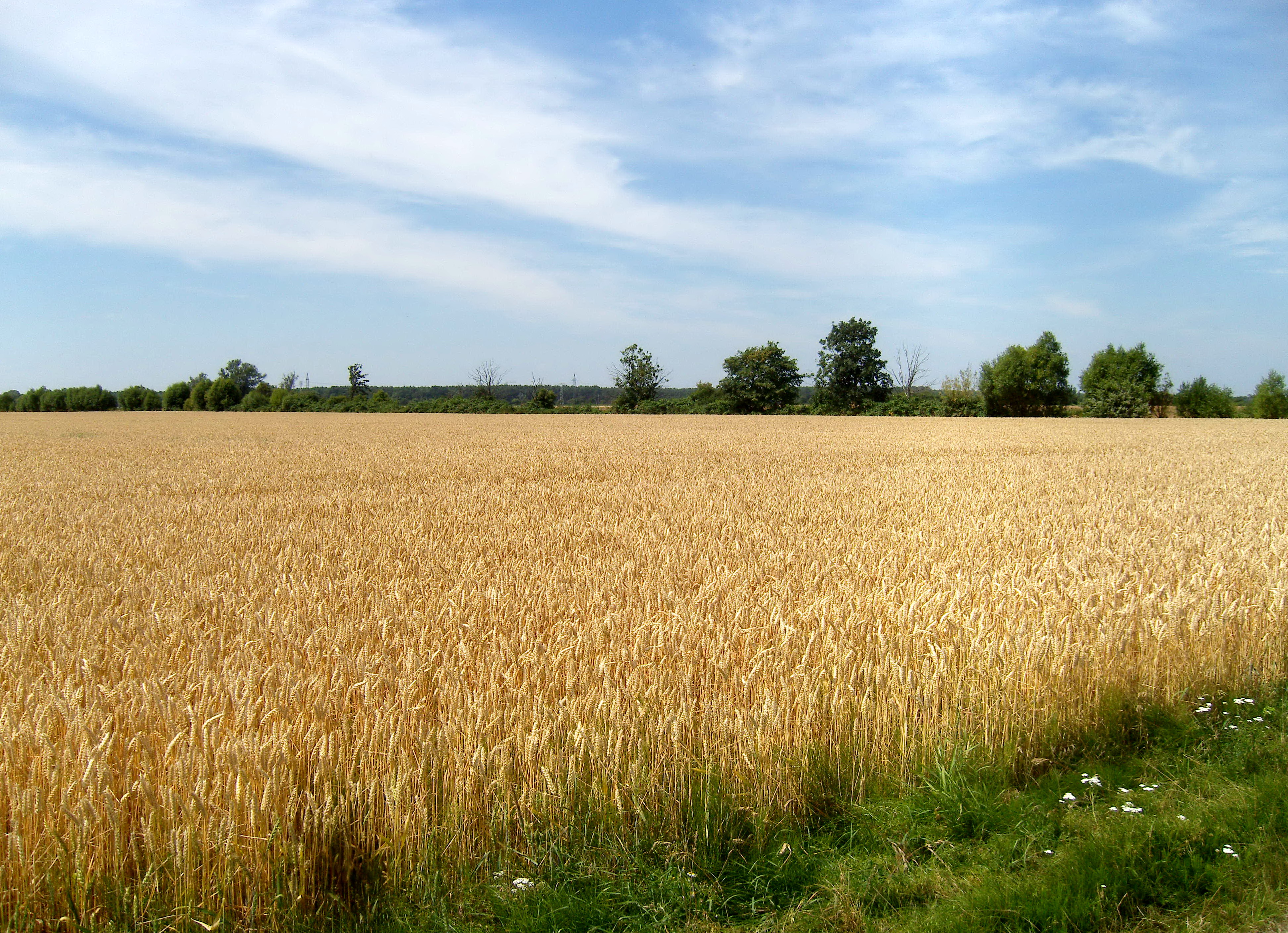
Kornfeld 2014-07-12
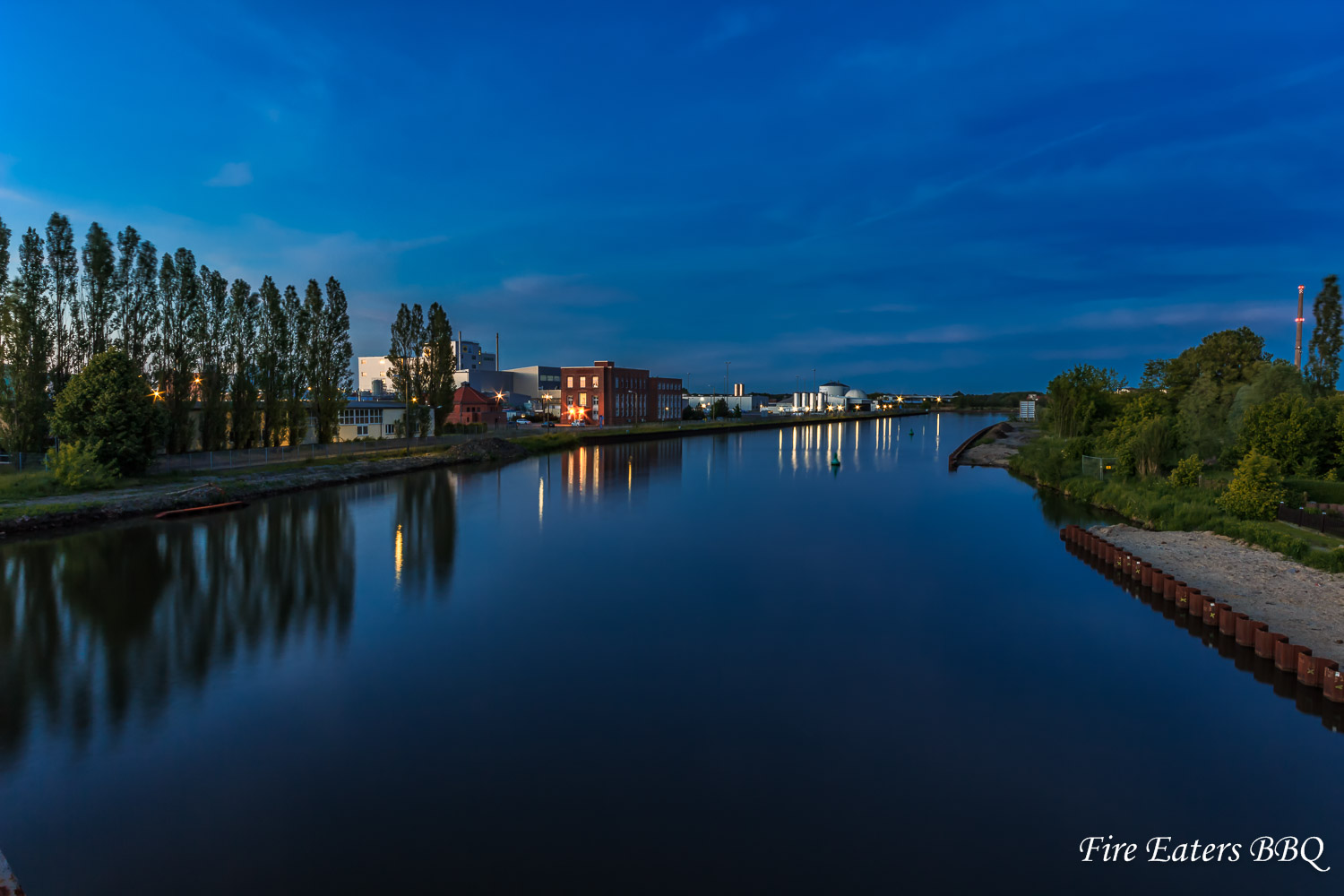
Waschmittelwerk Genthin
04.06.13 Bittkau
Schiff vor Anker
Guten morgen.
Frühling

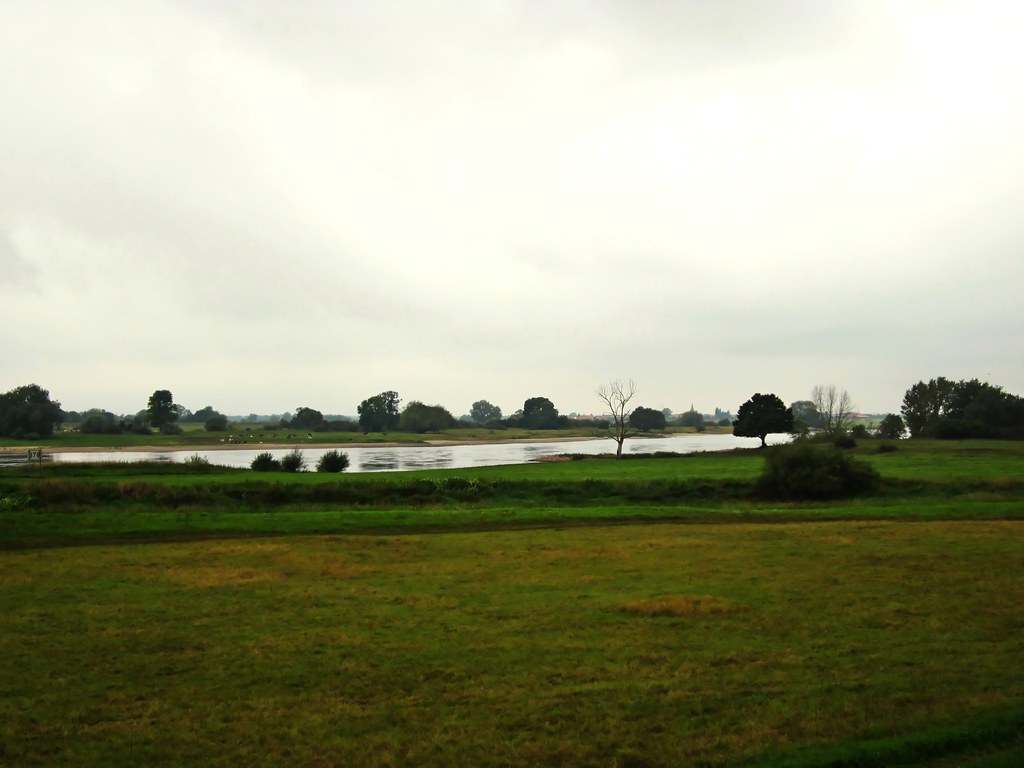
Jerichower Land
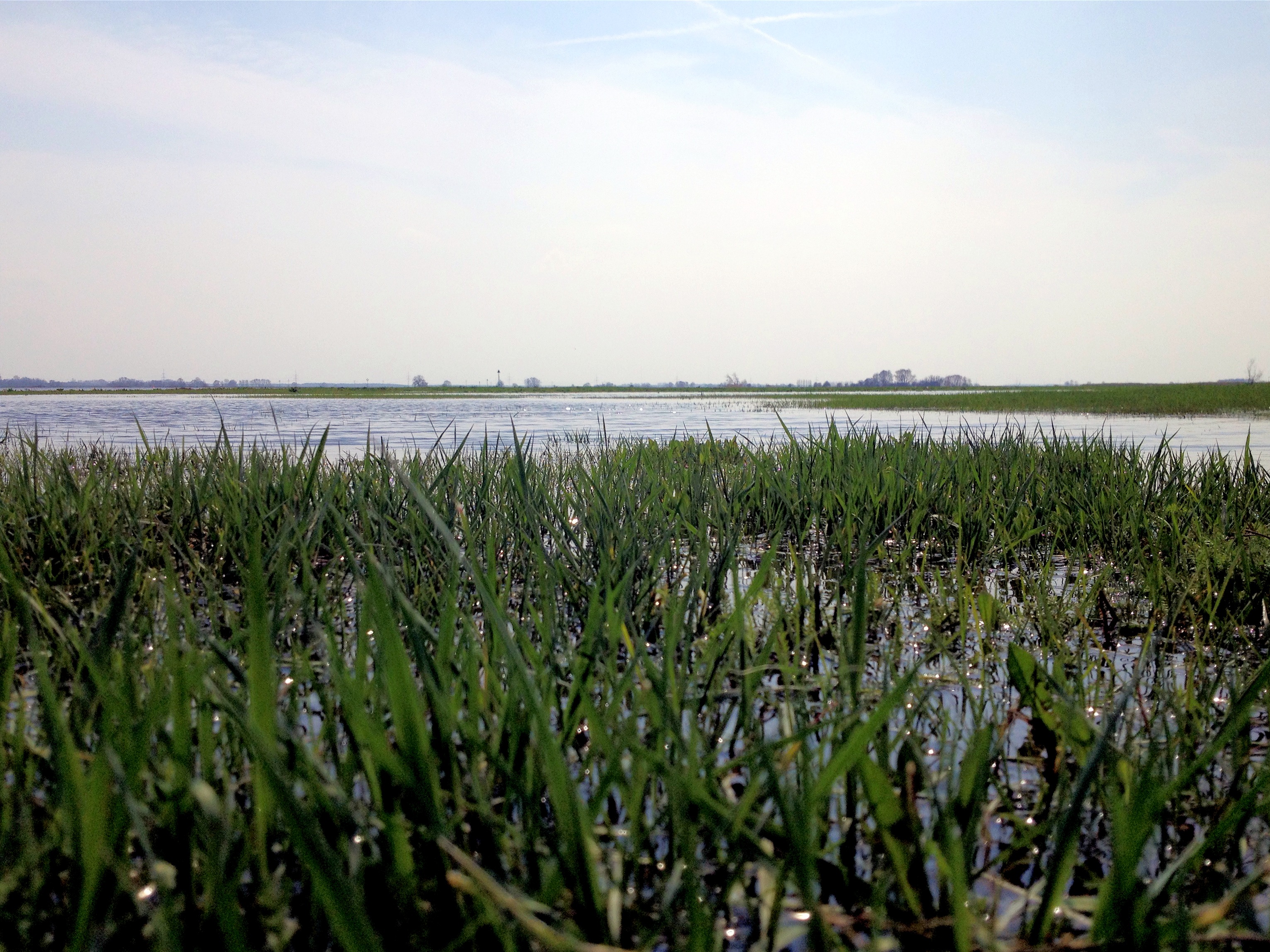
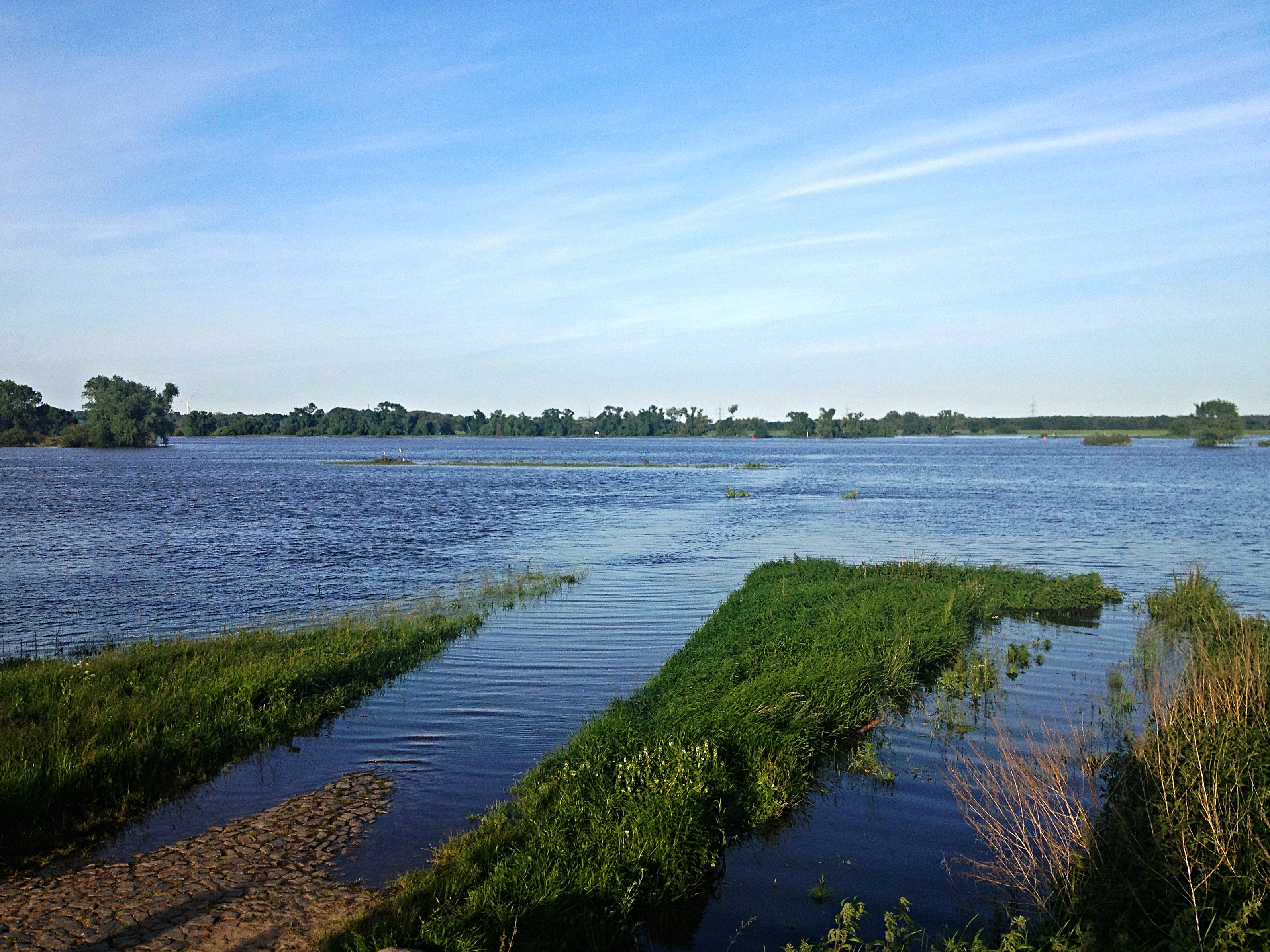
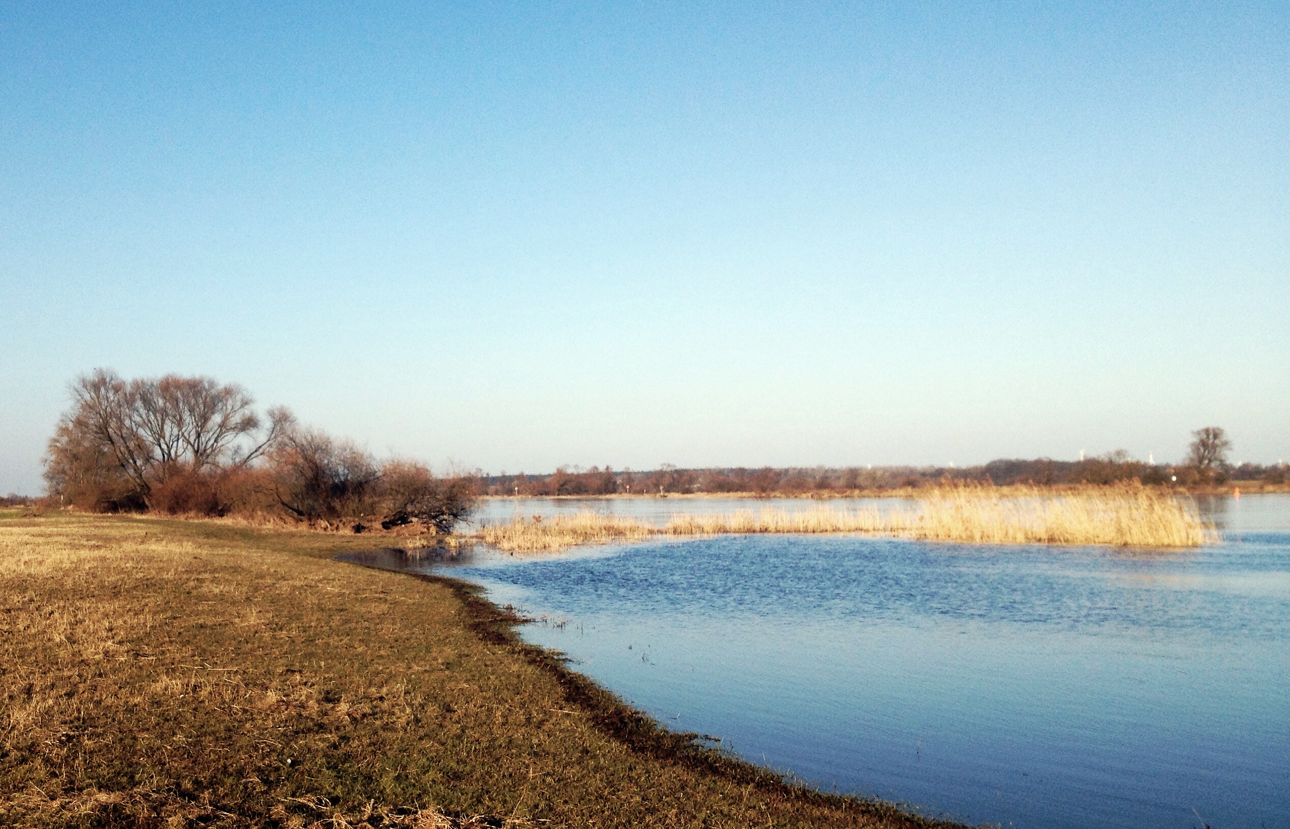
Elbe bei Polte
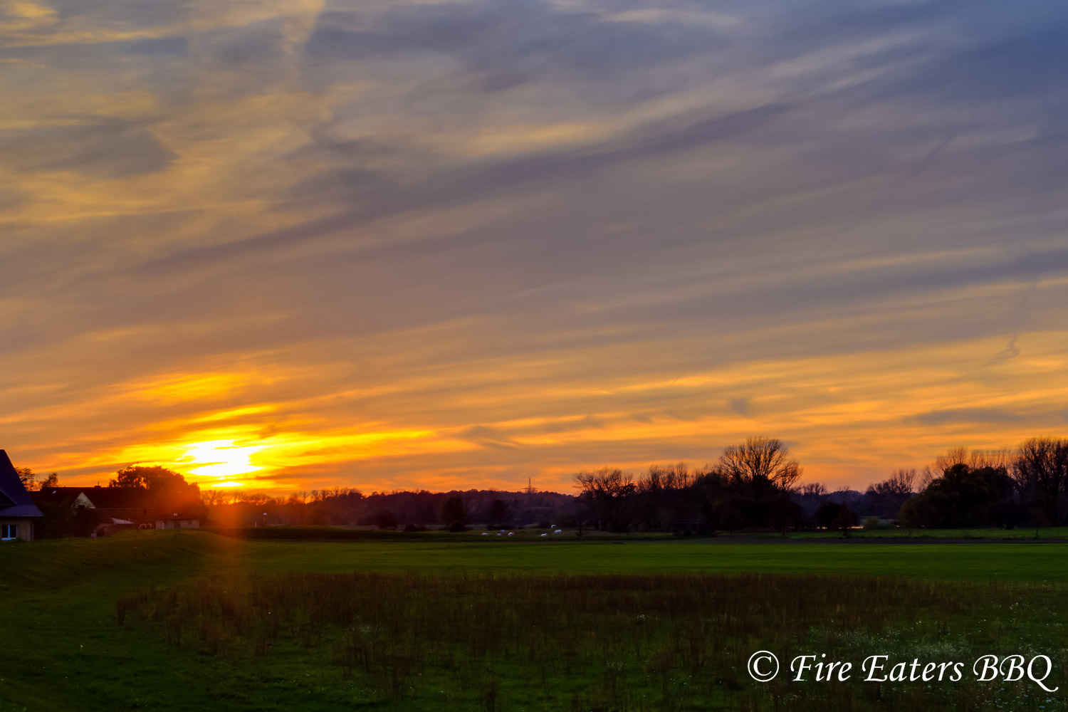
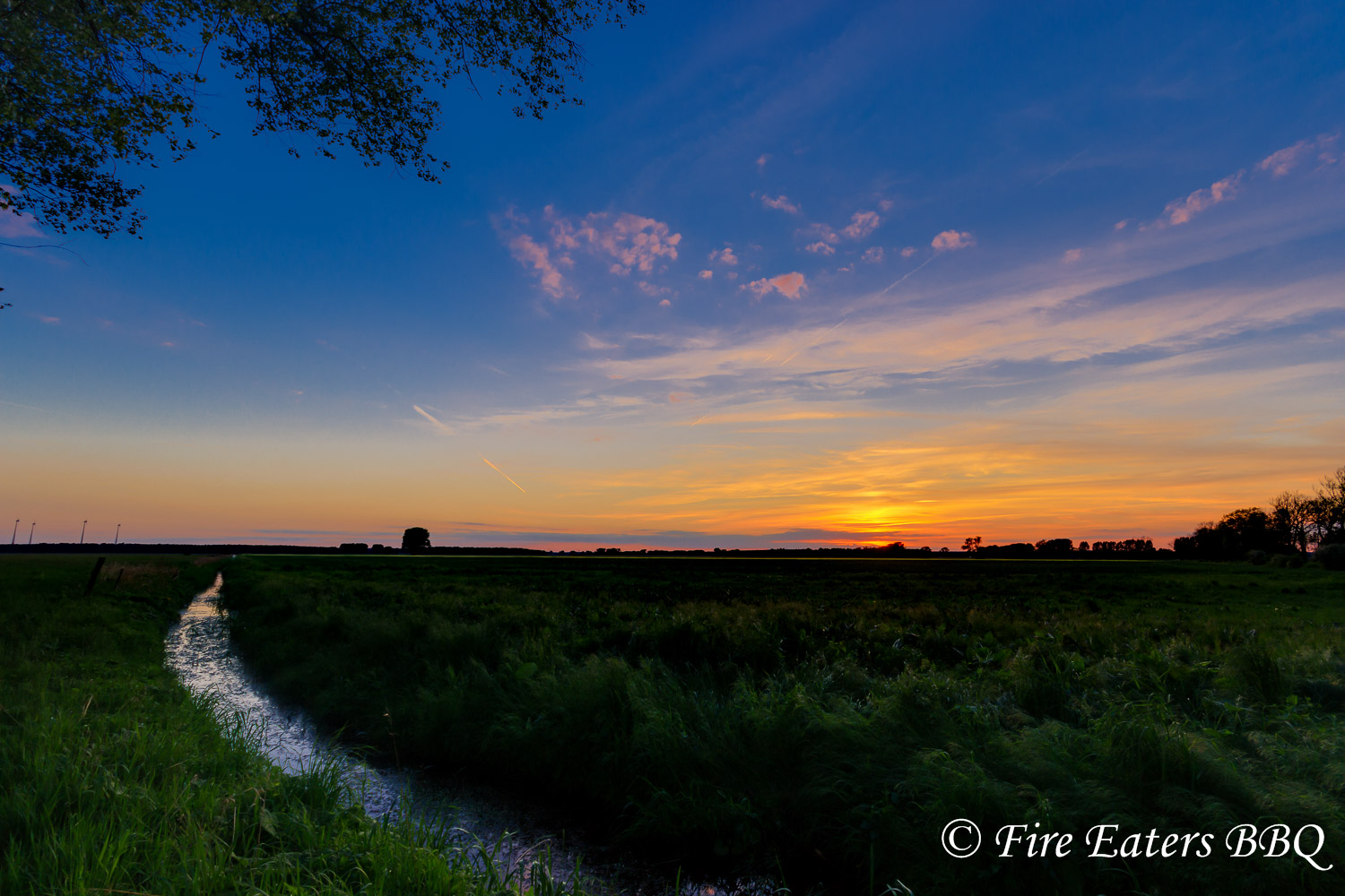
Sonnenuntergang am Deich
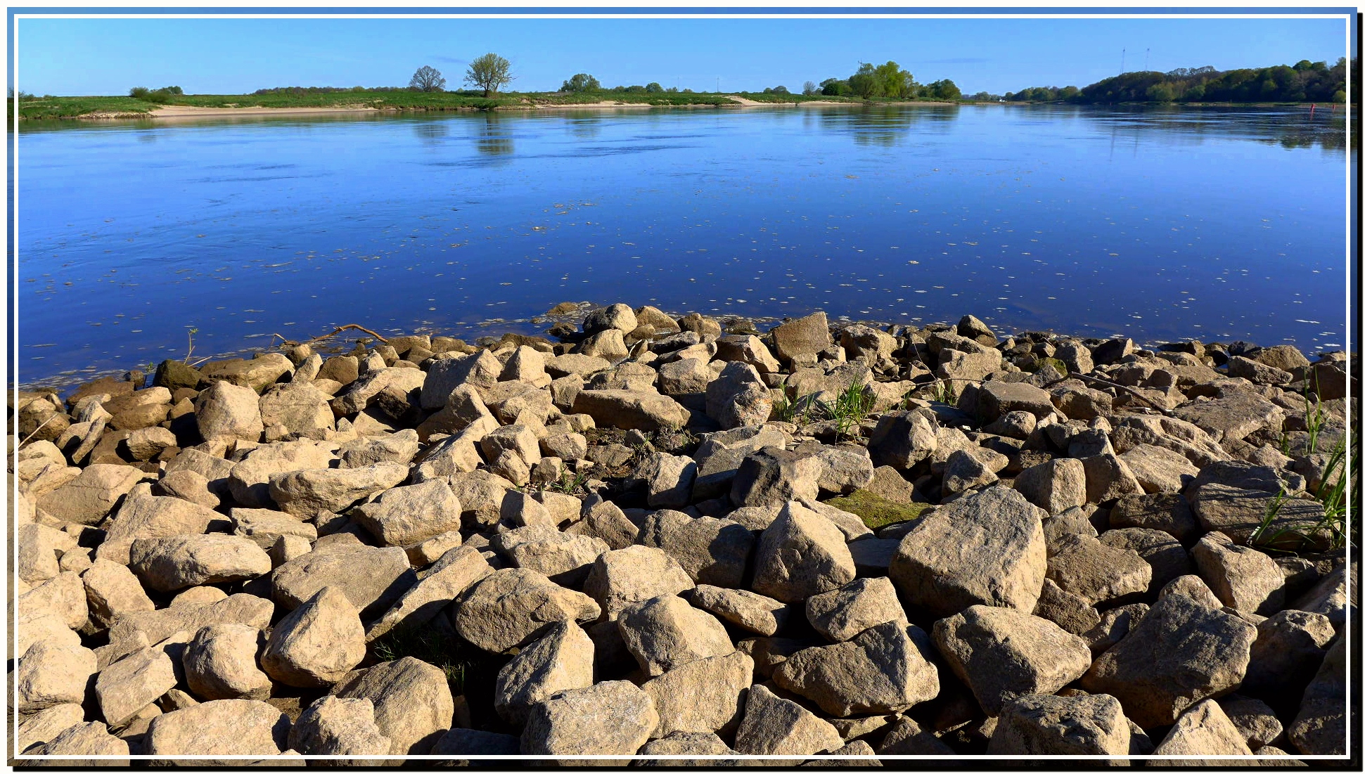
ELBE bei Derben
Sommer in der Altmark ...
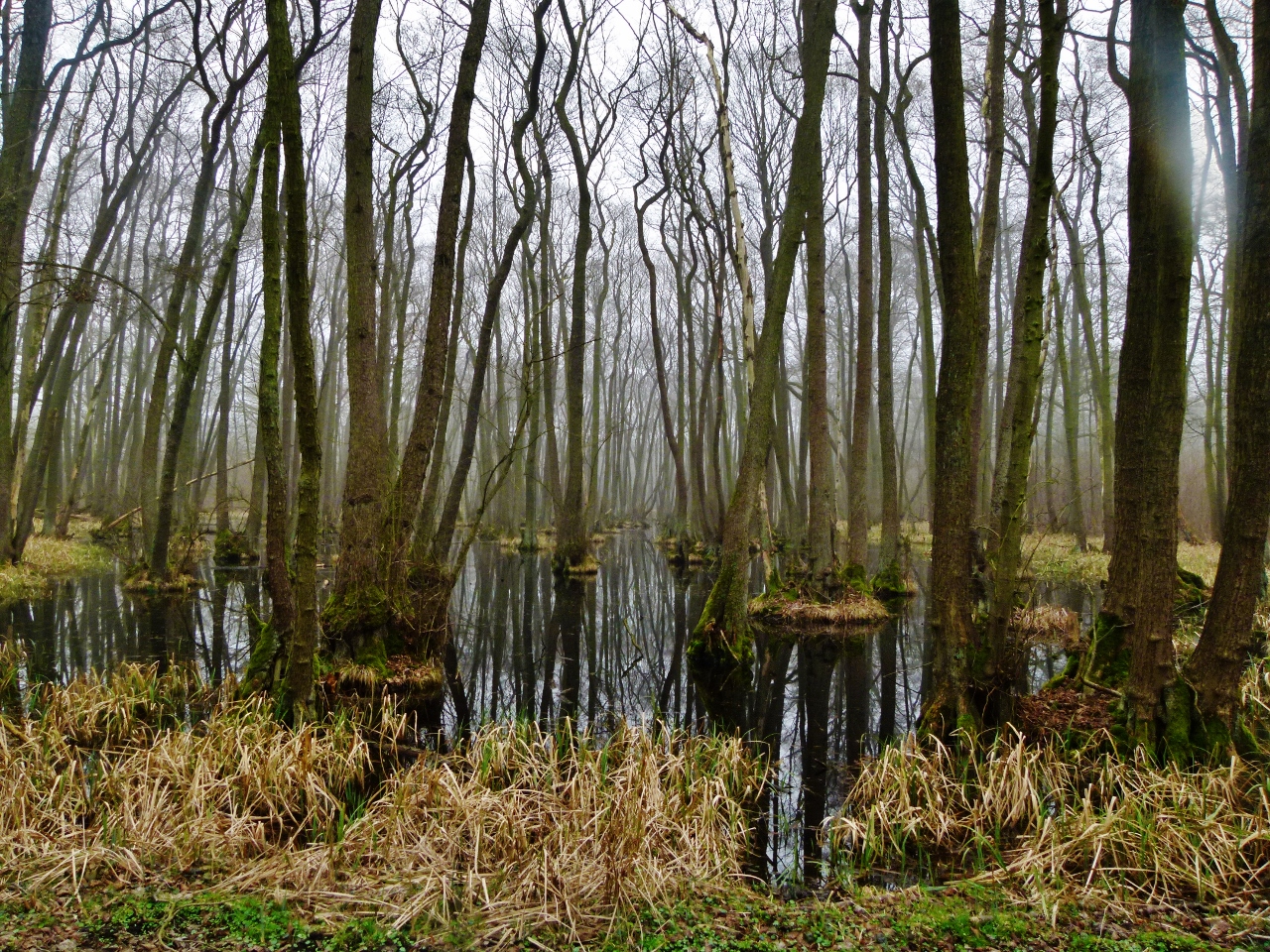
Im Naturschutzgebiet Bürgerholz bei Burg
bei Derben / Elbe-Parey
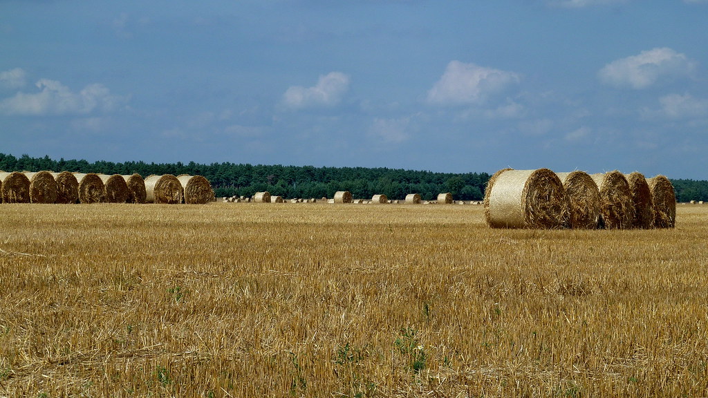
20130805 Feld Strohballen Magdeburg nach Tangermünde Elbe Radweg (80)

Die Elbe – The river Elbe
Topographic Map of Elbe-Parey, Germany
Find elevation by address:

Places in Elbe-Parey, Germany:
Places near Elbe-Parey, Germany:
Hauptstraße 43, Elbe-Parey, Germany
Derben
Güsen
Str. der DSF 14, Elbe-Parey, Germany
Dorfstraße 34, Rietzel, Germany
Rietzel
Scheeren
Dorfstraße 16, Birkholz, Germany
Cobbel
4a
Hauptstraße 39, Fischbeck (Elbe), Germany
Birkholz
Hüttermühle
Genthin
Dorfstraße 7, Genthin, Germany
Fischbeck
An der Ihle 12, Möckern, Germany
Friedensau
Dorfstraße 24, Möckern, Germany
Jerichower Land
Recent Searches:
- Elevation of Elwyn Dr, Roanoke Rapids, NC, USA
- Elevation of Congressional Dr, Stevensville, MD, USA
- Elevation of Bellview Rd, McLean, VA, USA
- Elevation of Stage Island Rd, Chatham, MA, USA
- Elevation of Shibuya Scramble Crossing, 21 Udagawacho, Shibuya City, Tokyo -, Japan
- Elevation of Jadagoniai, Kaunas District Municipality, Lithuania
- Elevation of Pagonija rock, Kranto 7-oji g. 8"N, Kaunas, Lithuania
- Elevation of Co Rd 87, Jamestown, CO, USA
- Elevation of Tenjo, Cundinamarca, Colombia
- Elevation of Côte-des-Neiges, Montreal, QC H4A 3J6, Canada