Elevation of Birkholz, Germany
Location: Germany > Saxony-anhalt >
Longitude: 11.8415686
Latitude: 52.4169286
Elevation: 38m / 125feet
Barometric Pressure: 101KPa
Elevation Map:
Satellite Map:
Related Photos:

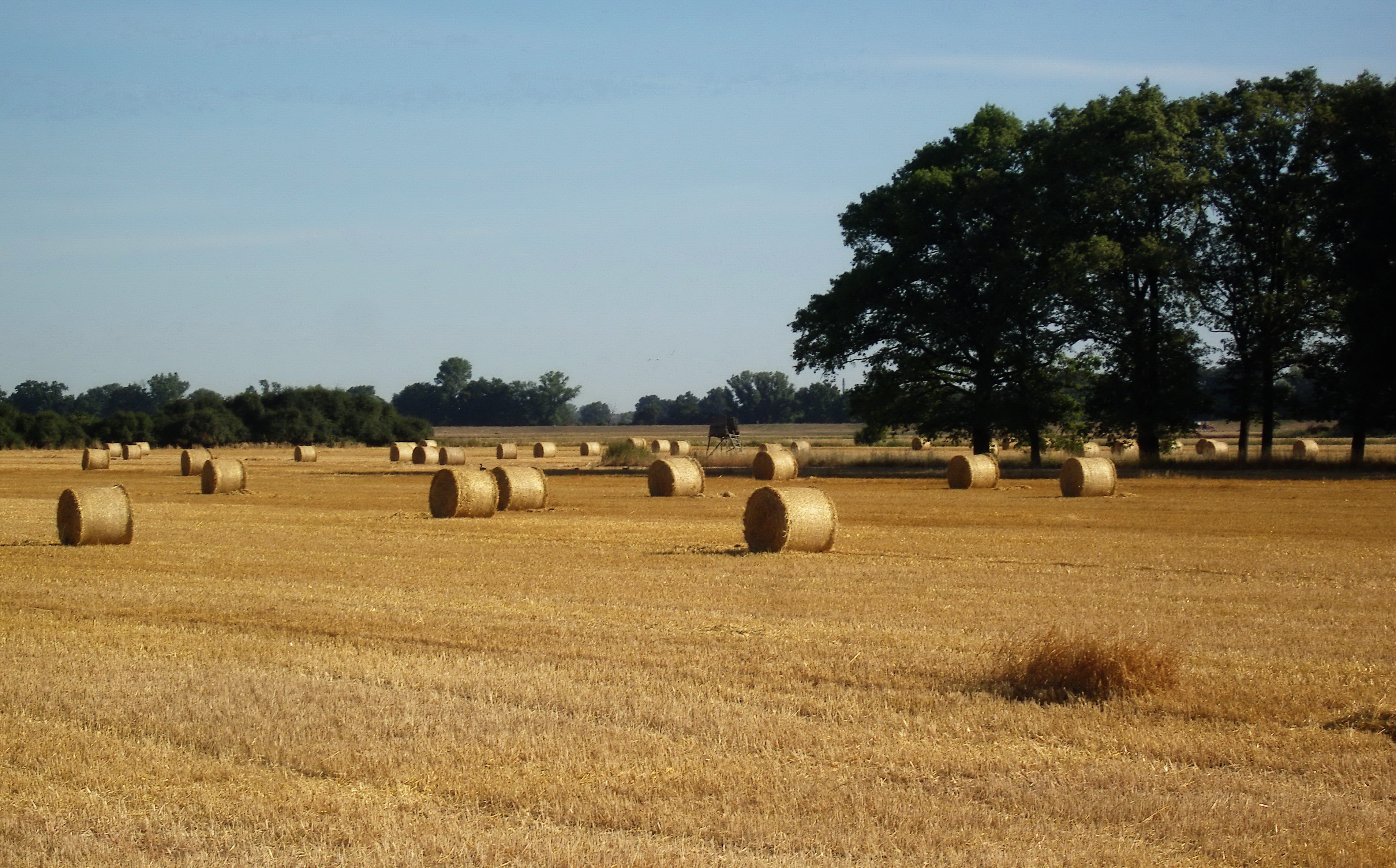
a round bale
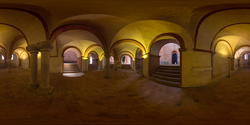
Krypta (360 x 180)
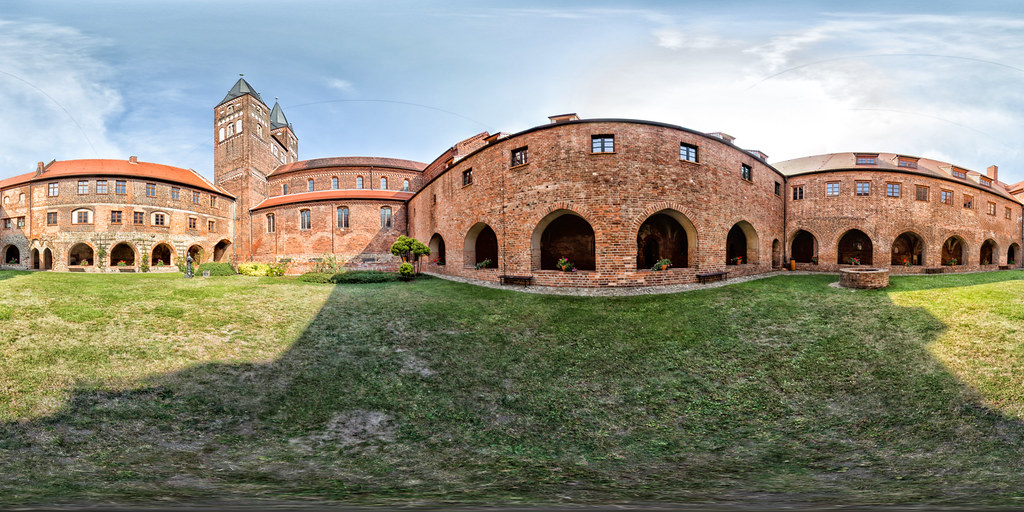
Klosterhof (360 x 180)
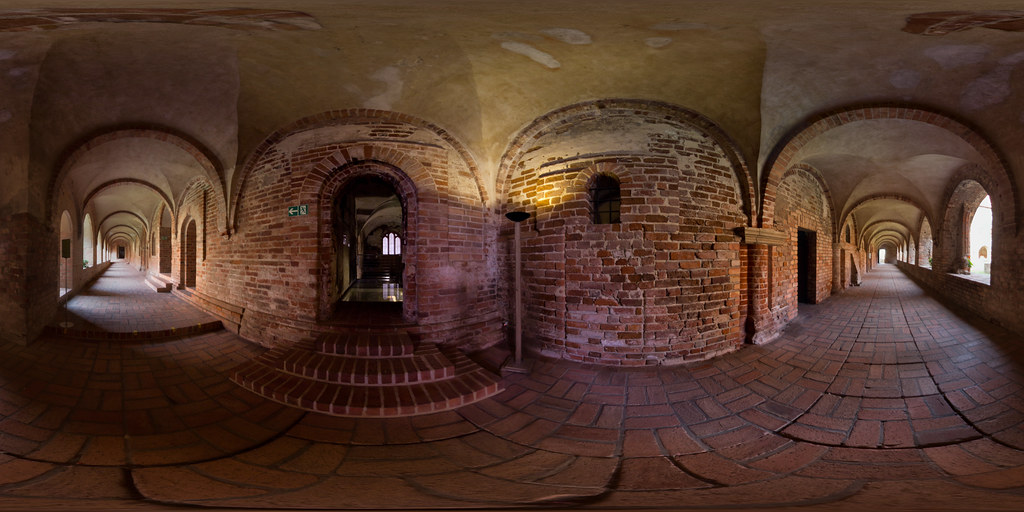
Remtergang (360 x 180)
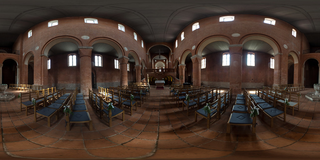
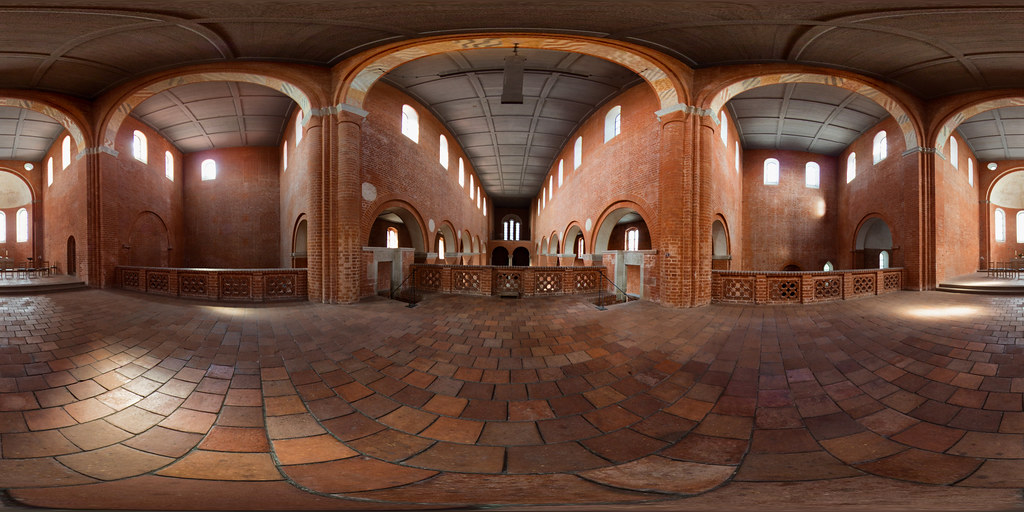
Kirche mit Westempore und Taufbecken (360 x 180)
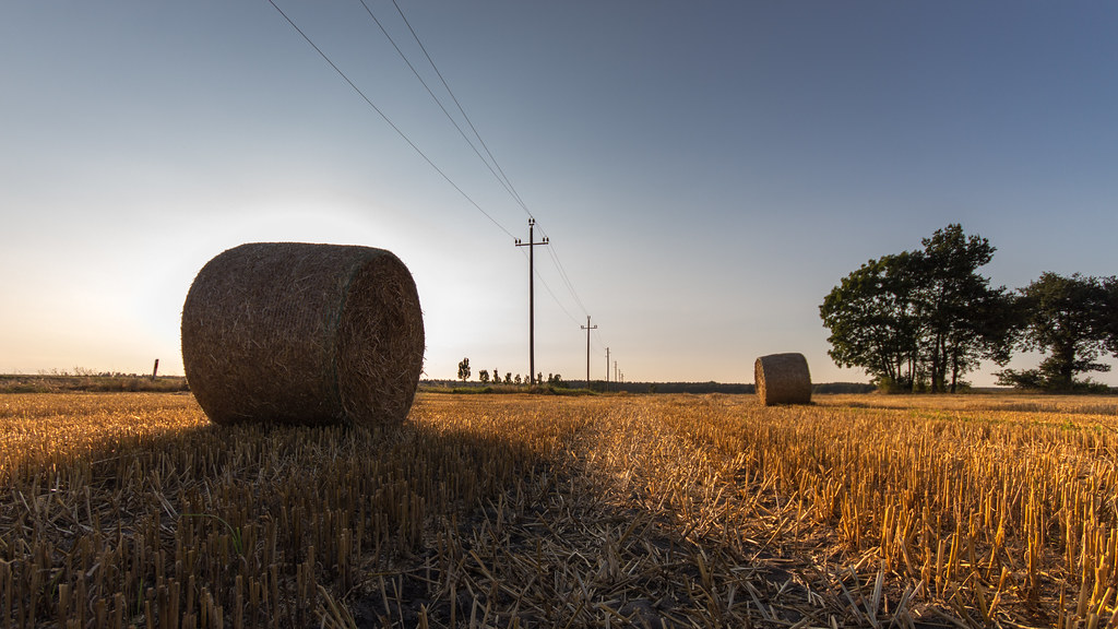
hay (in bales)
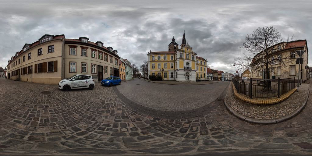
Breiter Weg (360 x 180)
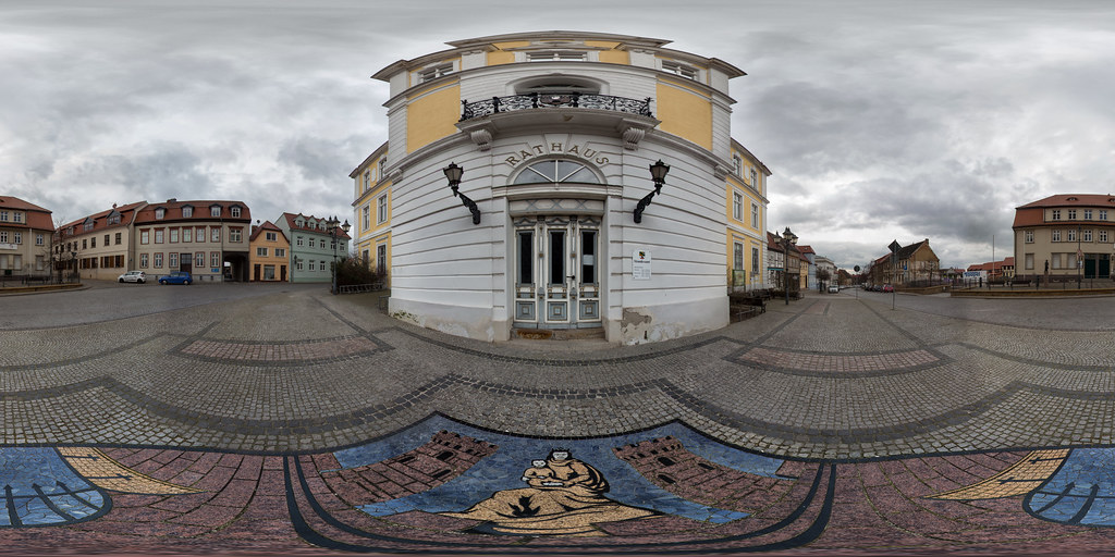
Historisches Rathaus (360 x 180)
Oberhalb der Krypta (360 x 180)
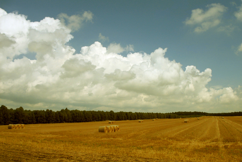
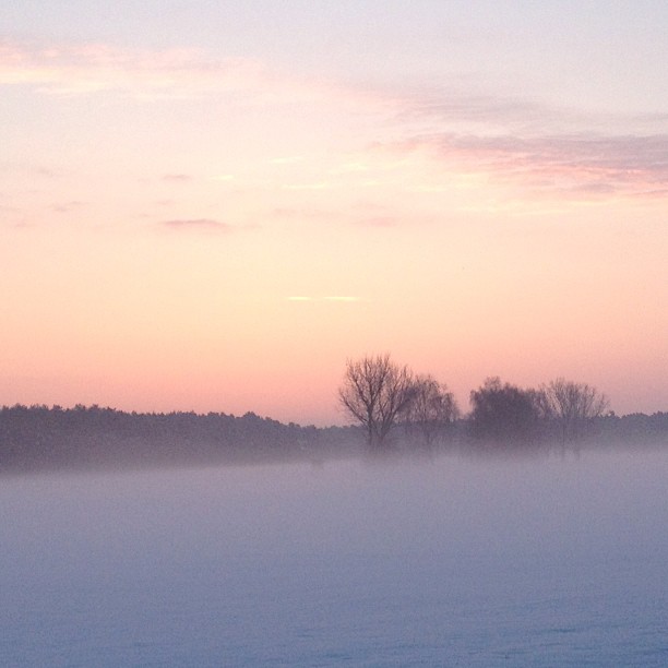
Clouds over the Summer Fields
Kalkwerk Zielitz
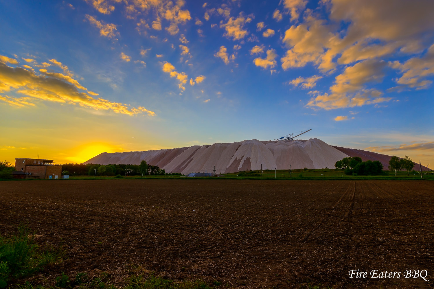
Goldener Sonnenuntergang am Kalimandscharo
abgeerntet ...

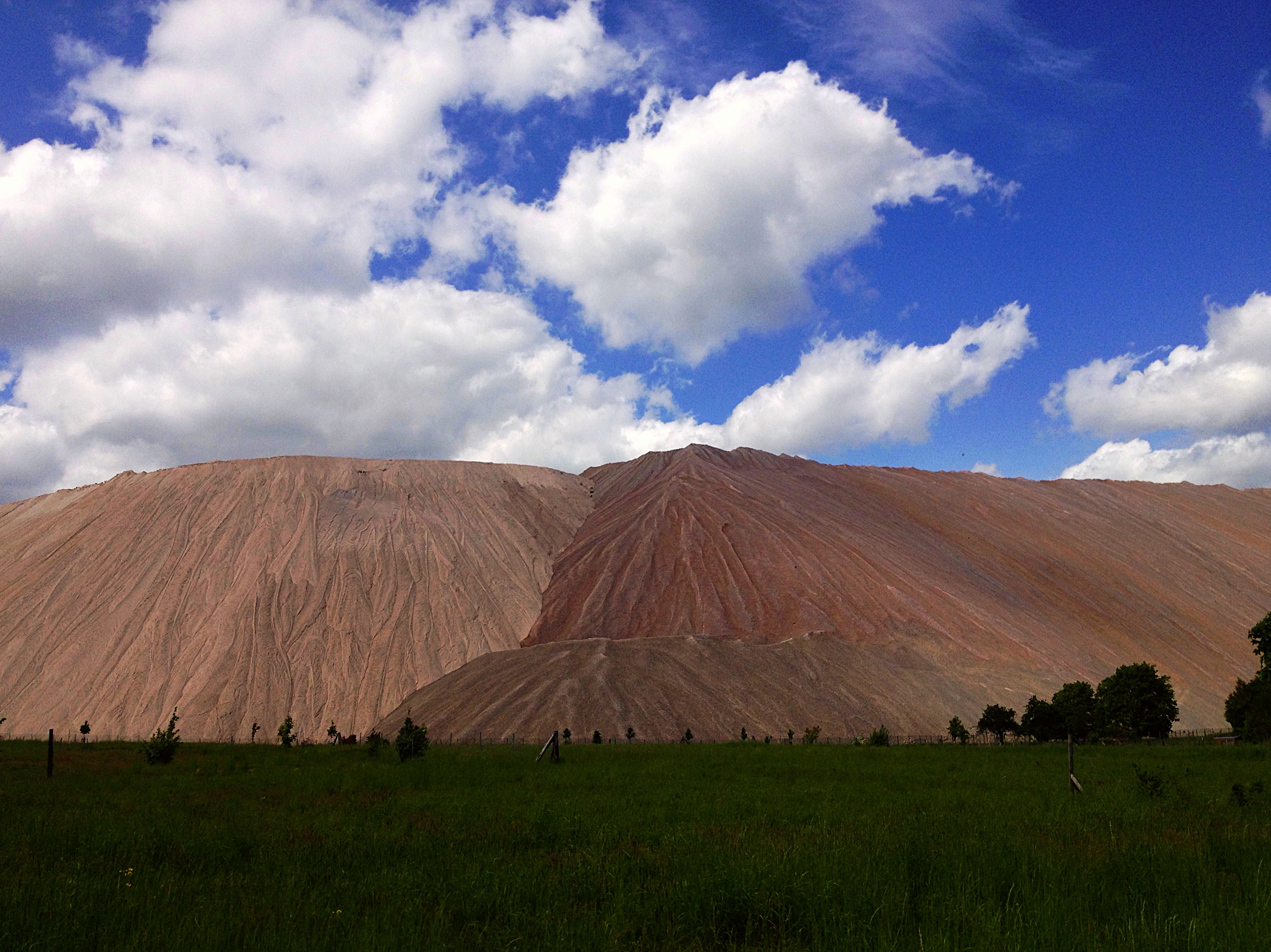
Am Kalimandscharo
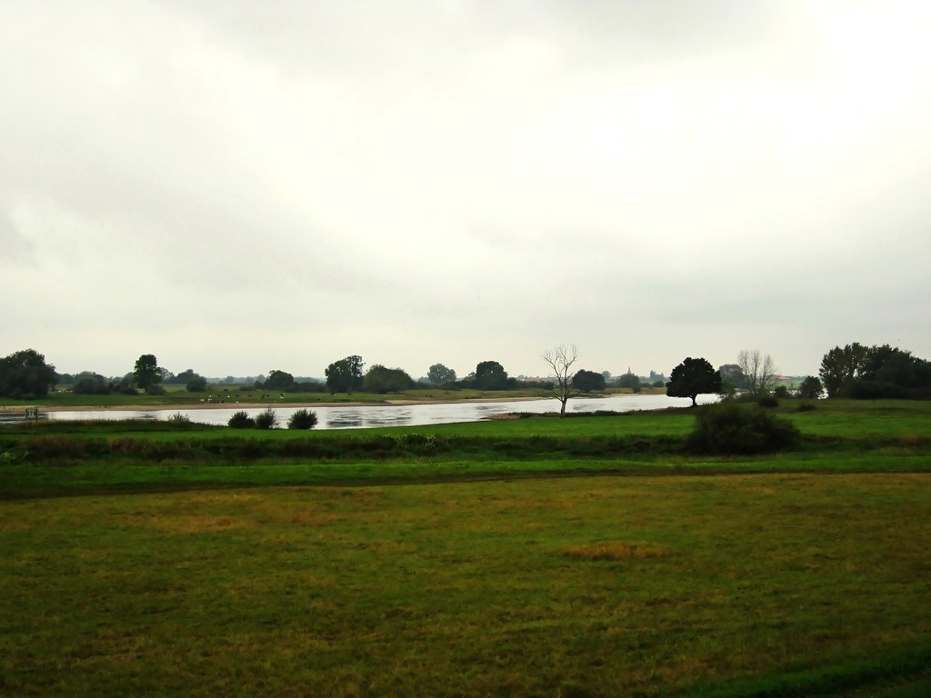
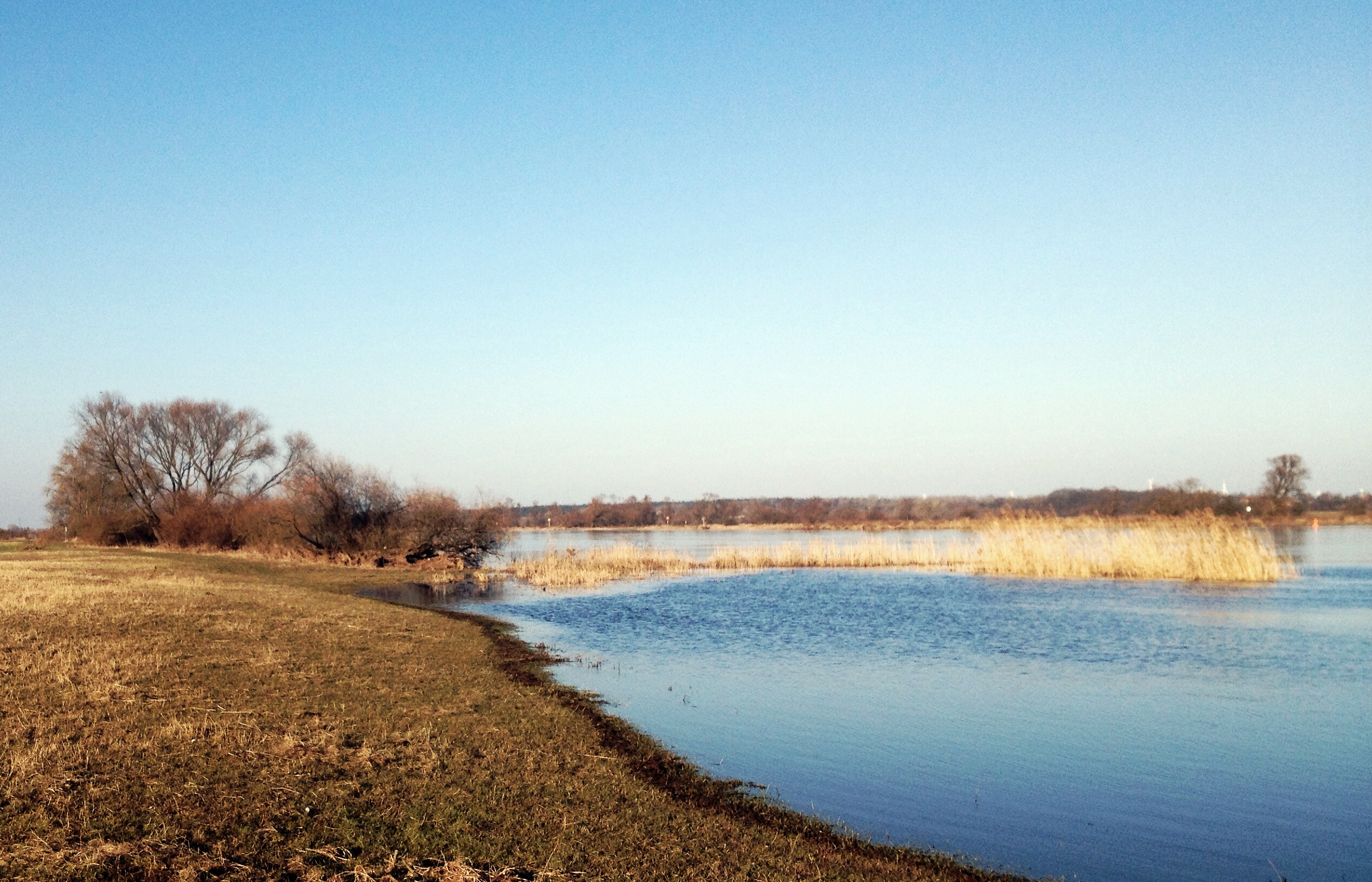
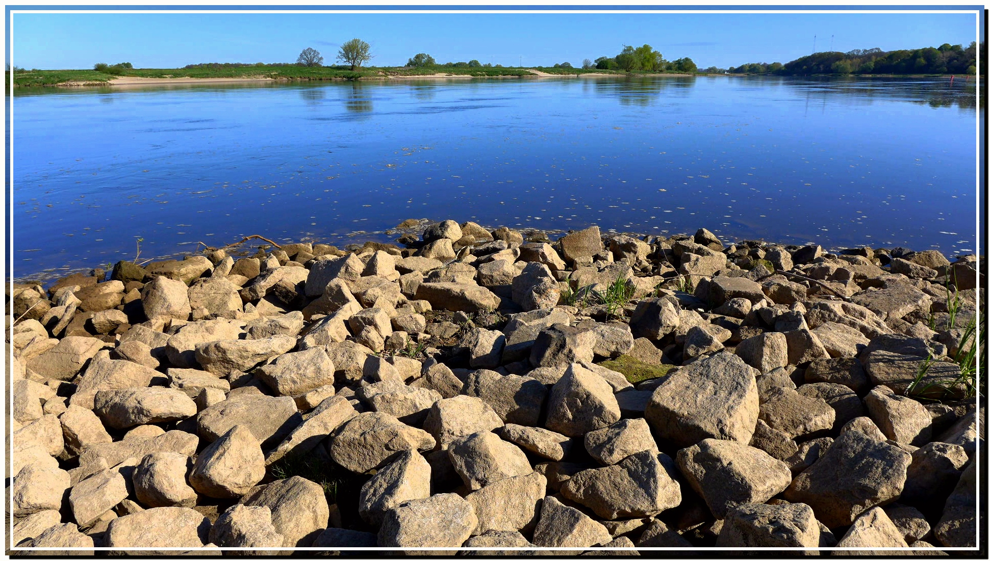
An der Elbe
Sonnenuntergang am Tanger

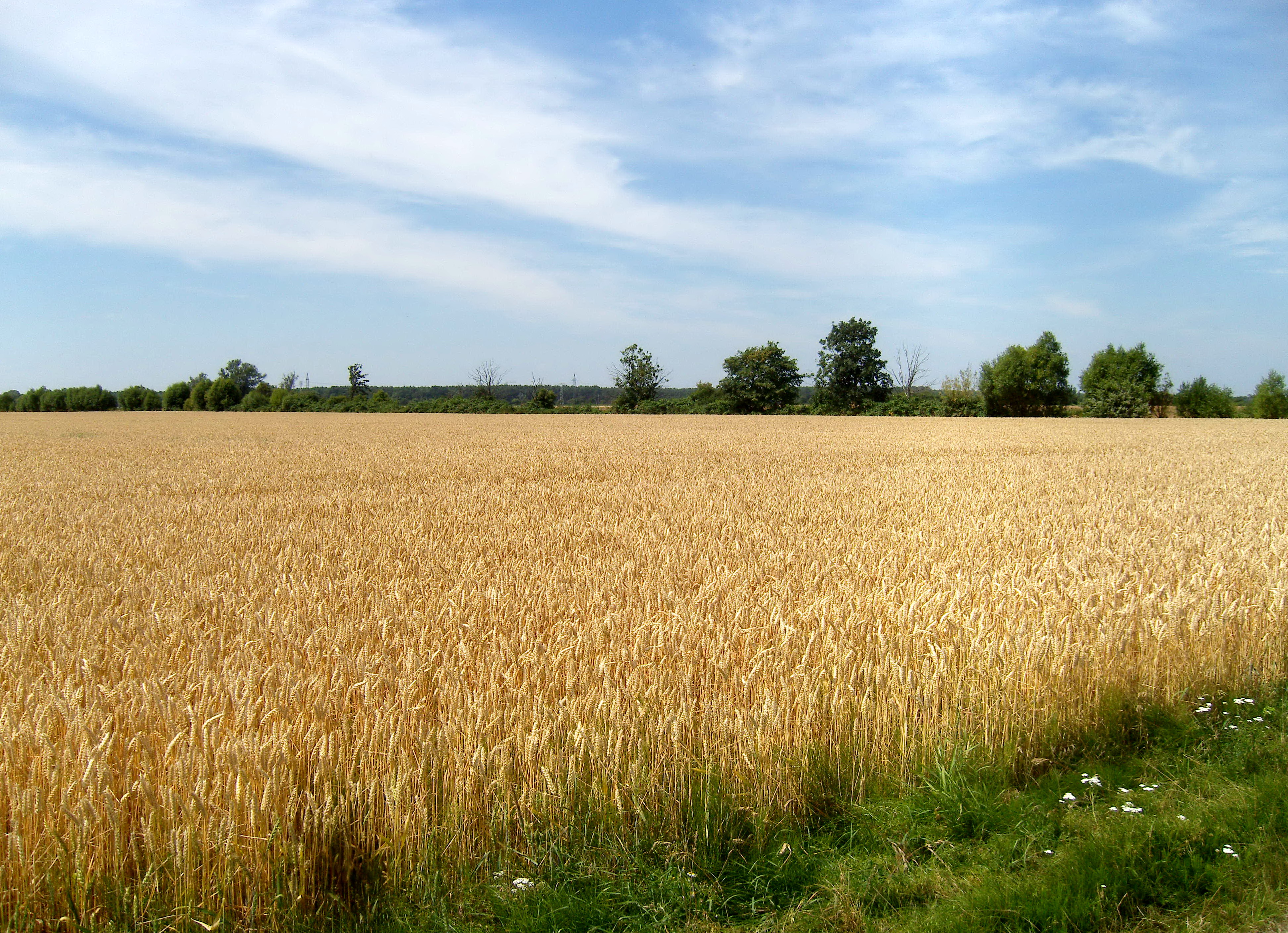
Kornfeld 2014-07-12
04.06.13 Bittkau
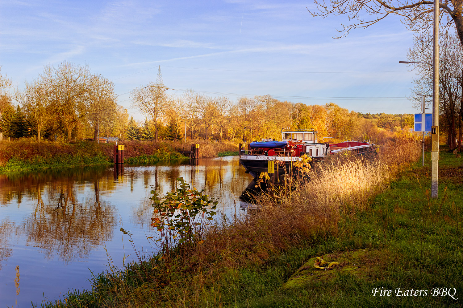
Schiff vor Anker
Guten morgen.
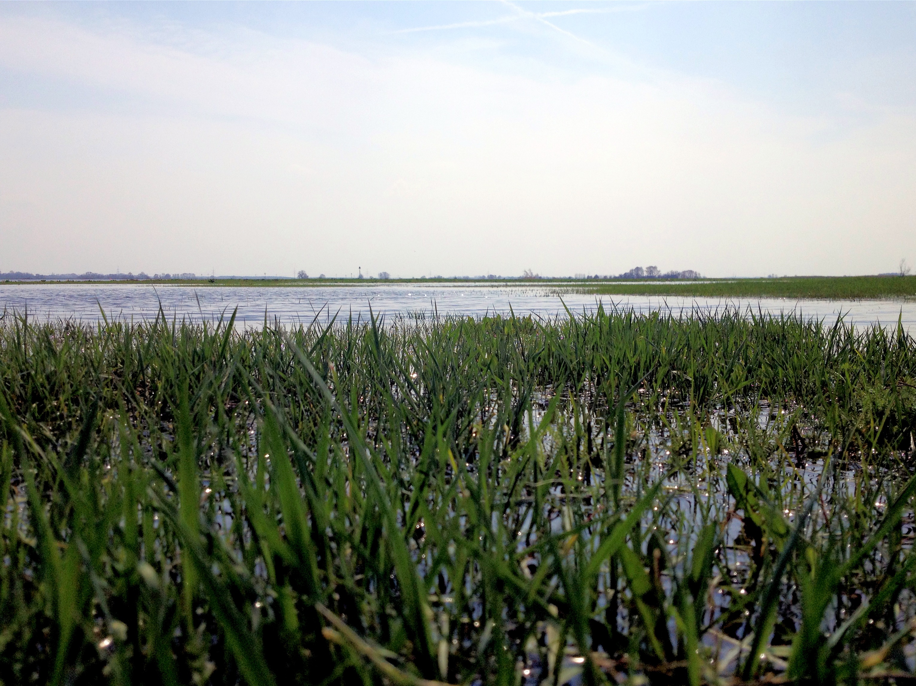
Frühling

Jerichower Land
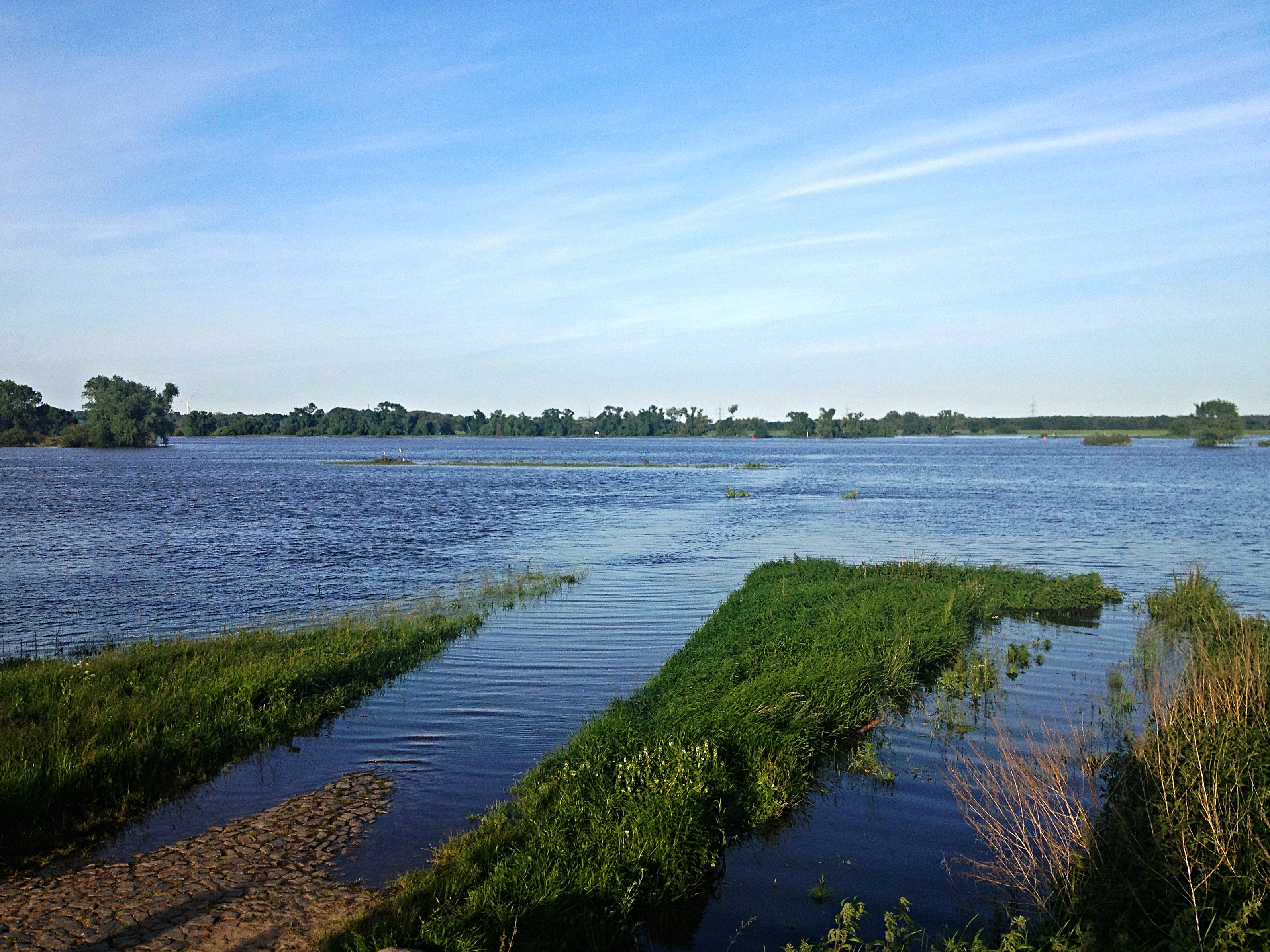
Elbe bei Polte
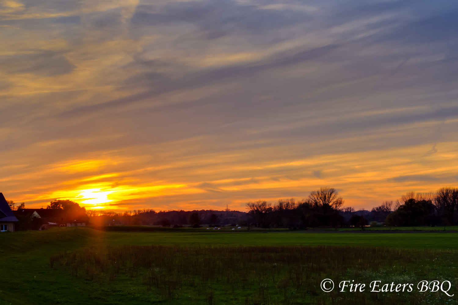
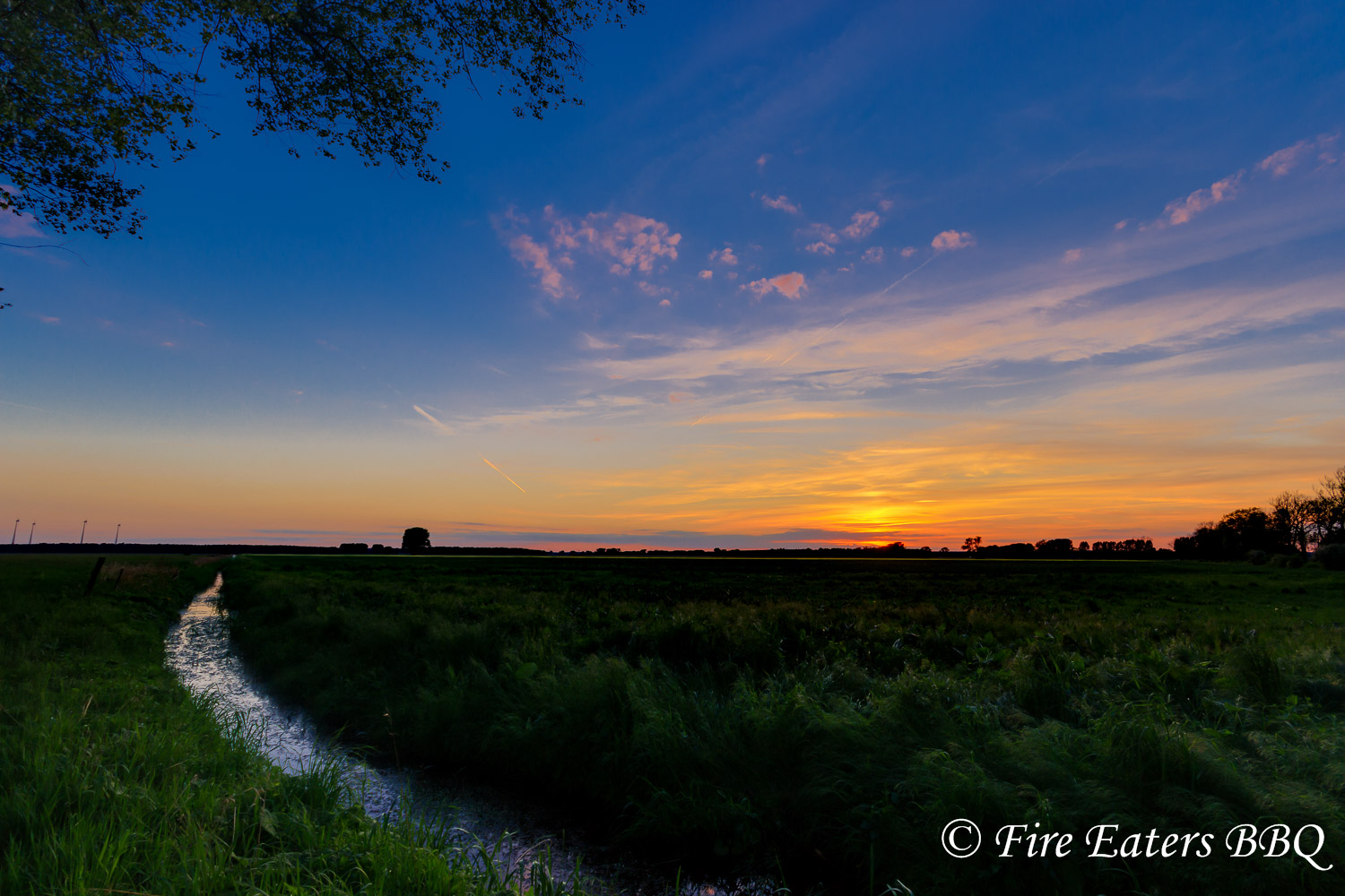
Sonnenuntergang am Deich
ELBE bei Derben
Sommer in der Altmark ...
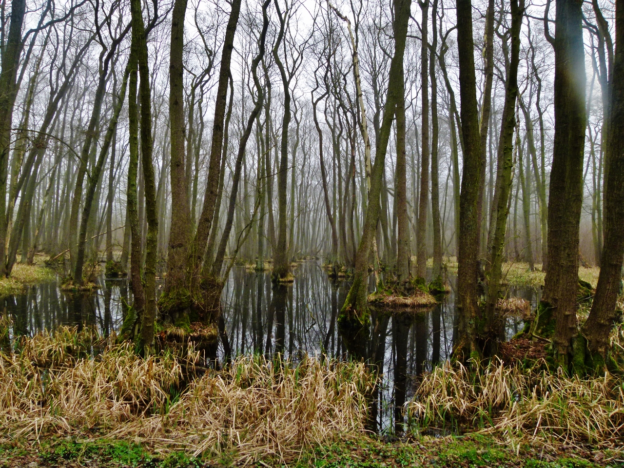
Im Naturschutzgebiet Bürgerholz bei Burg

bei Derben / Elbe-Parey
Topographic Map of Birkholz, Germany
Find elevation by address:

Places in Birkholz, Germany:
Places near Birkholz, Germany:
4a
Cobbel
Dorfstraße 16, Birkholz, Germany
Scheeren
20b
Schönwalde
Akazienweg 5, Stendal, Germany
Welle
Groß Schwarzlosen
Lüderitz
Rogätz
Str. der Freundschaft 26, Lüderitz, Germany
Jerichower Land
Güsen
Friedrichshöhe 4, Rogätz, Germany
Hauptstraße 43, Elbe-Parey, Germany
Derben
Str. der DSF 14, Elbe-Parey, Germany
Elbe-parey
Stendal
Recent Searches:
- Elevation of 15th Ave SE, St. Petersburg, FL, USA
- Elevation of Beall Road, Beall Rd, Florida, USA
- Elevation of Leguwa, Nepal
- Elevation of County Rd, Enterprise, AL, USA
- Elevation of Kolchuginsky District, Vladimir Oblast, Russia
- Elevation of Shustino, Vladimir Oblast, Russia
- Elevation of Lampiasi St, Sarasota, FL, USA
- Elevation of Elwyn Dr, Roanoke Rapids, NC, USA
- Elevation of Congressional Dr, Stevensville, MD, USA
- Elevation of Bellview Rd, McLean, VA, USA