Elevation of Hüttermühle, Genthin, Germany
Location: Germany > Saxony-anhalt > Genthin >
Longitude: 12.1599861
Latitude: 52.369032
Elevation: 36m / 118feet
Barometric Pressure: 101KPa
Elevation Map:
Satellite Map:
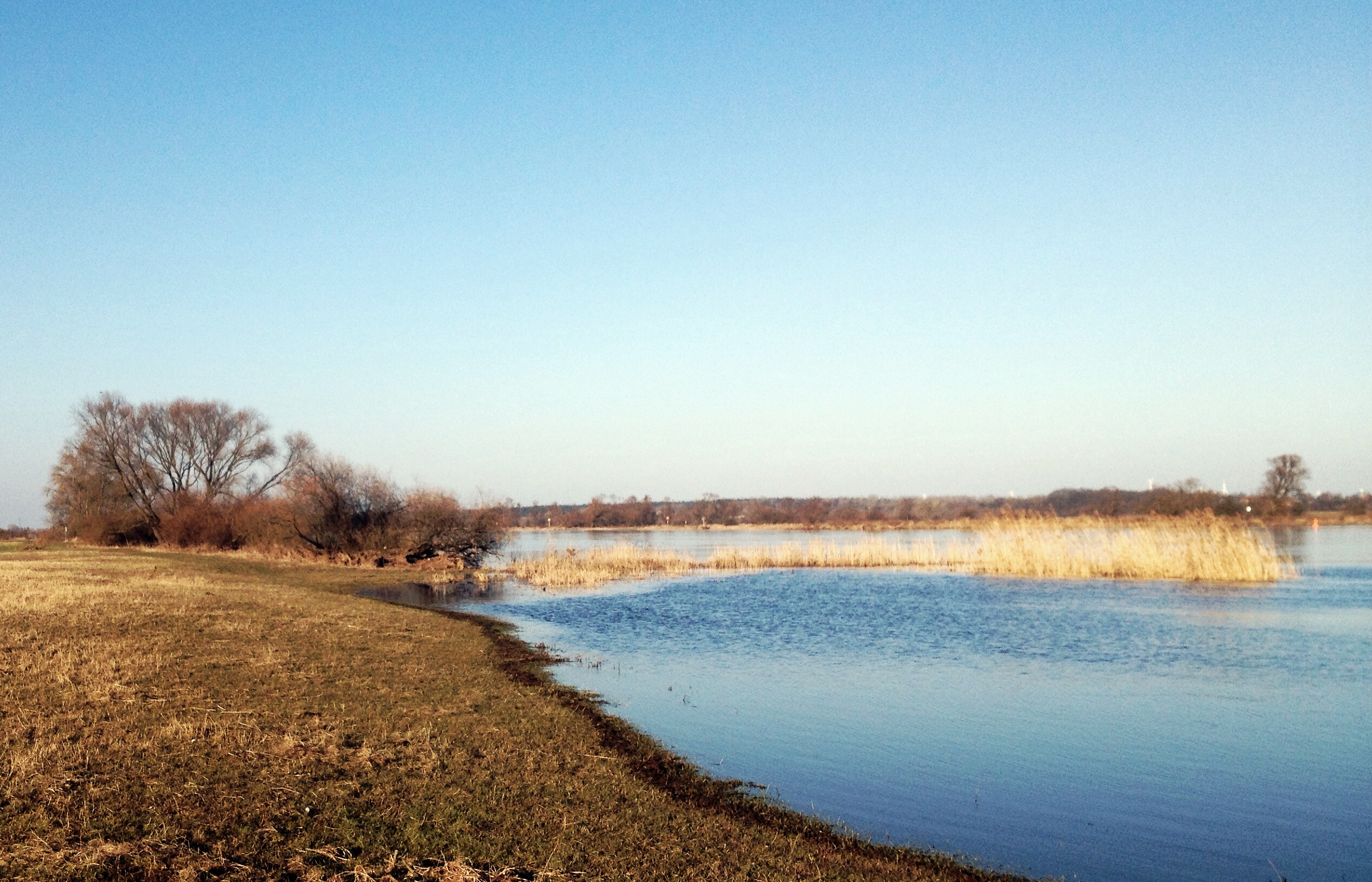
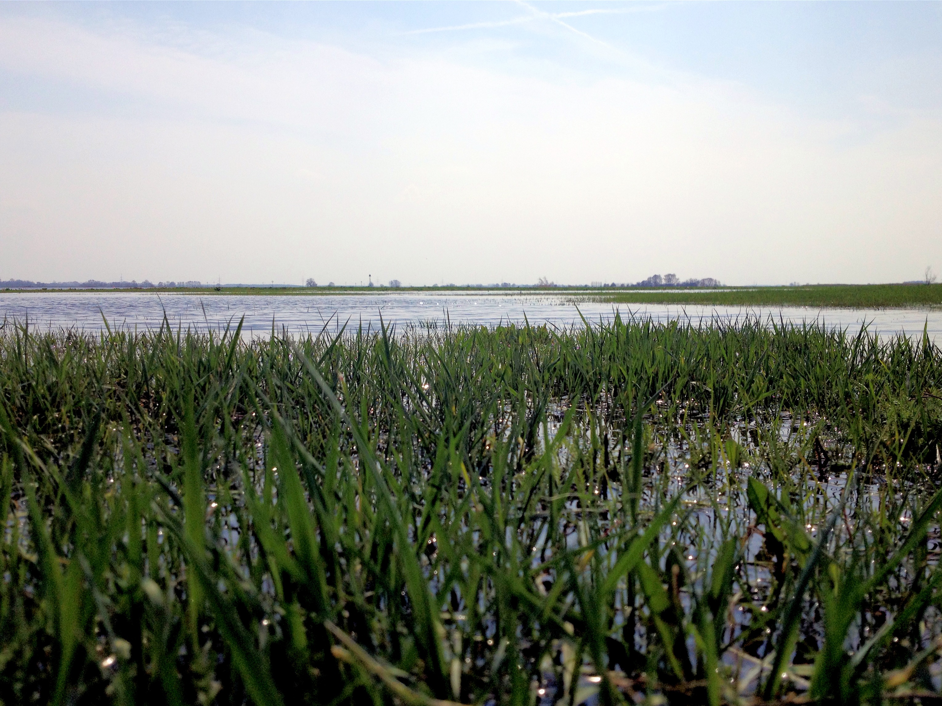
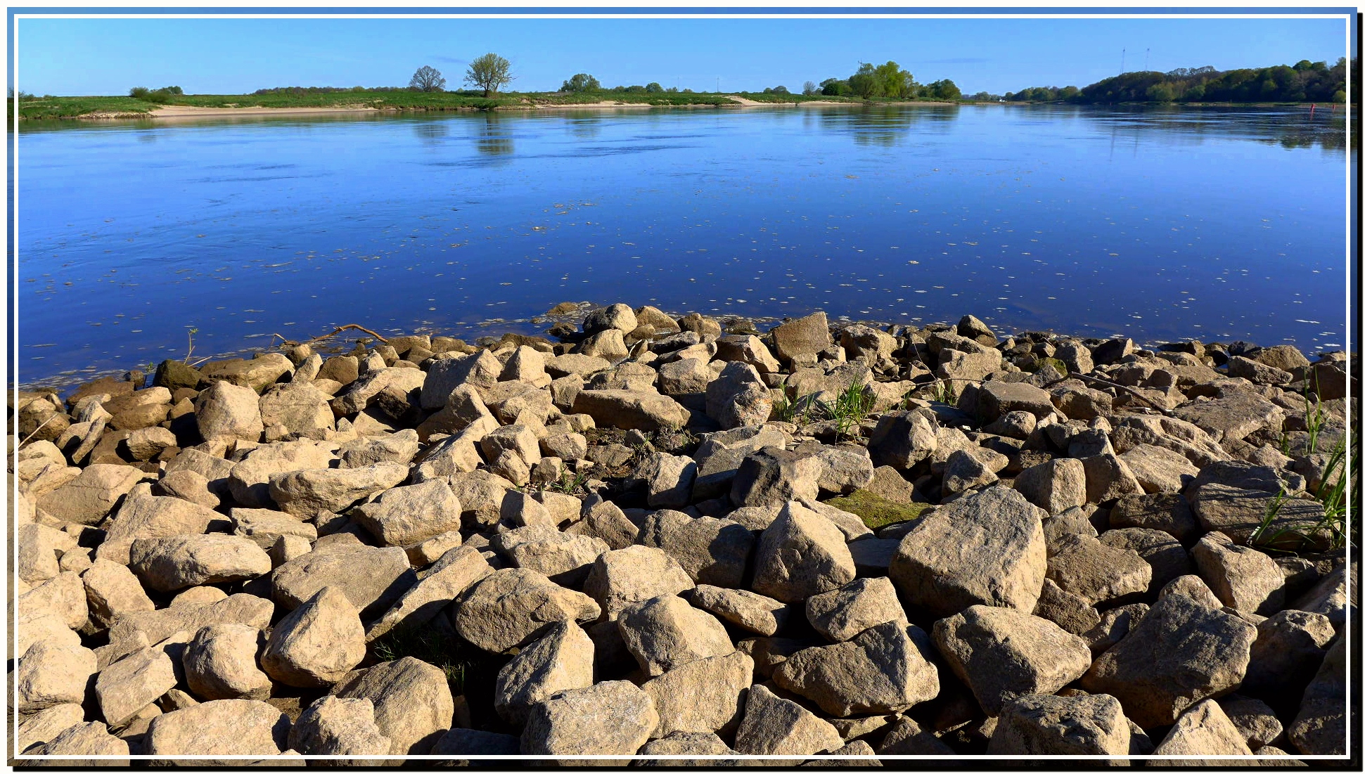
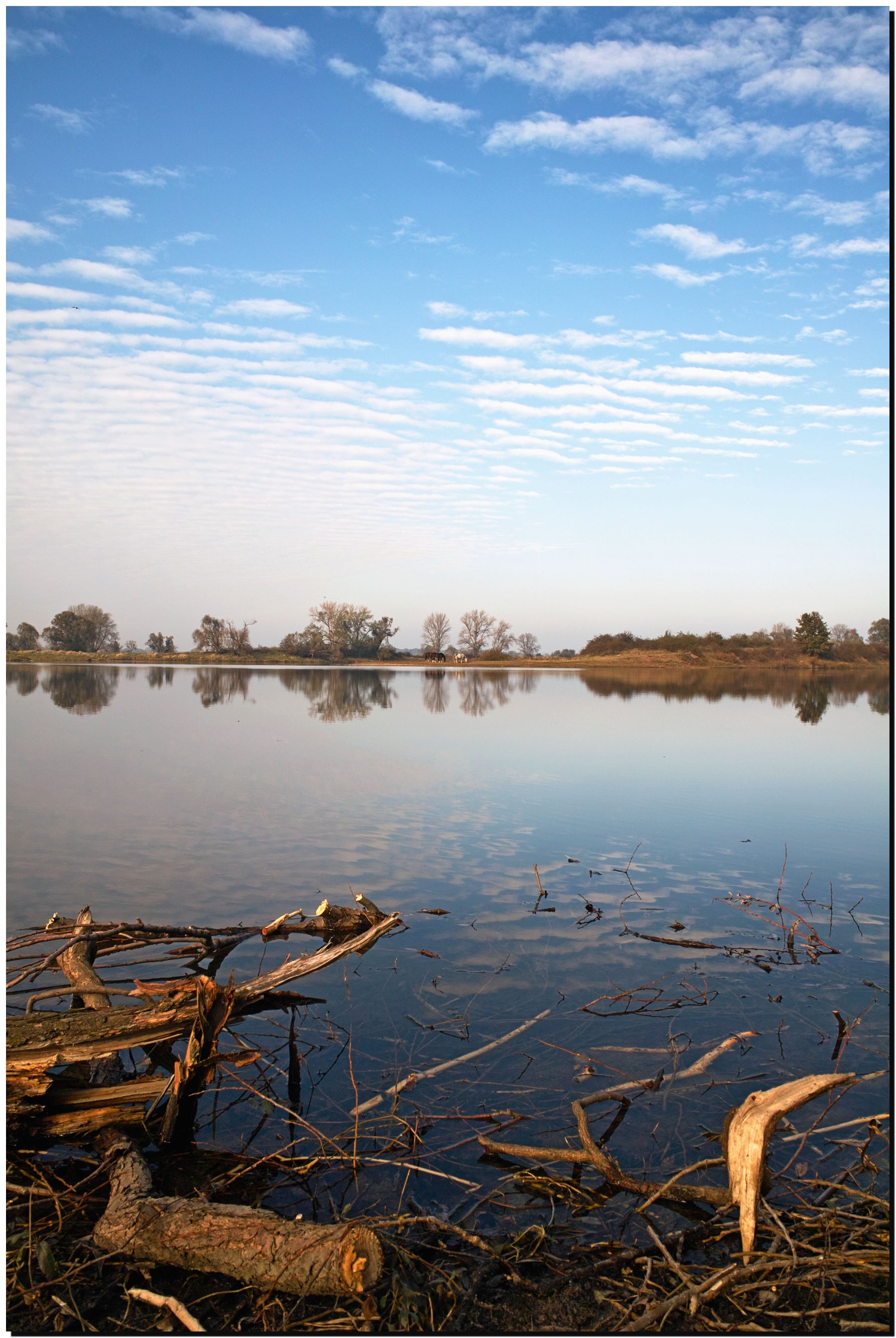
Related Photos:
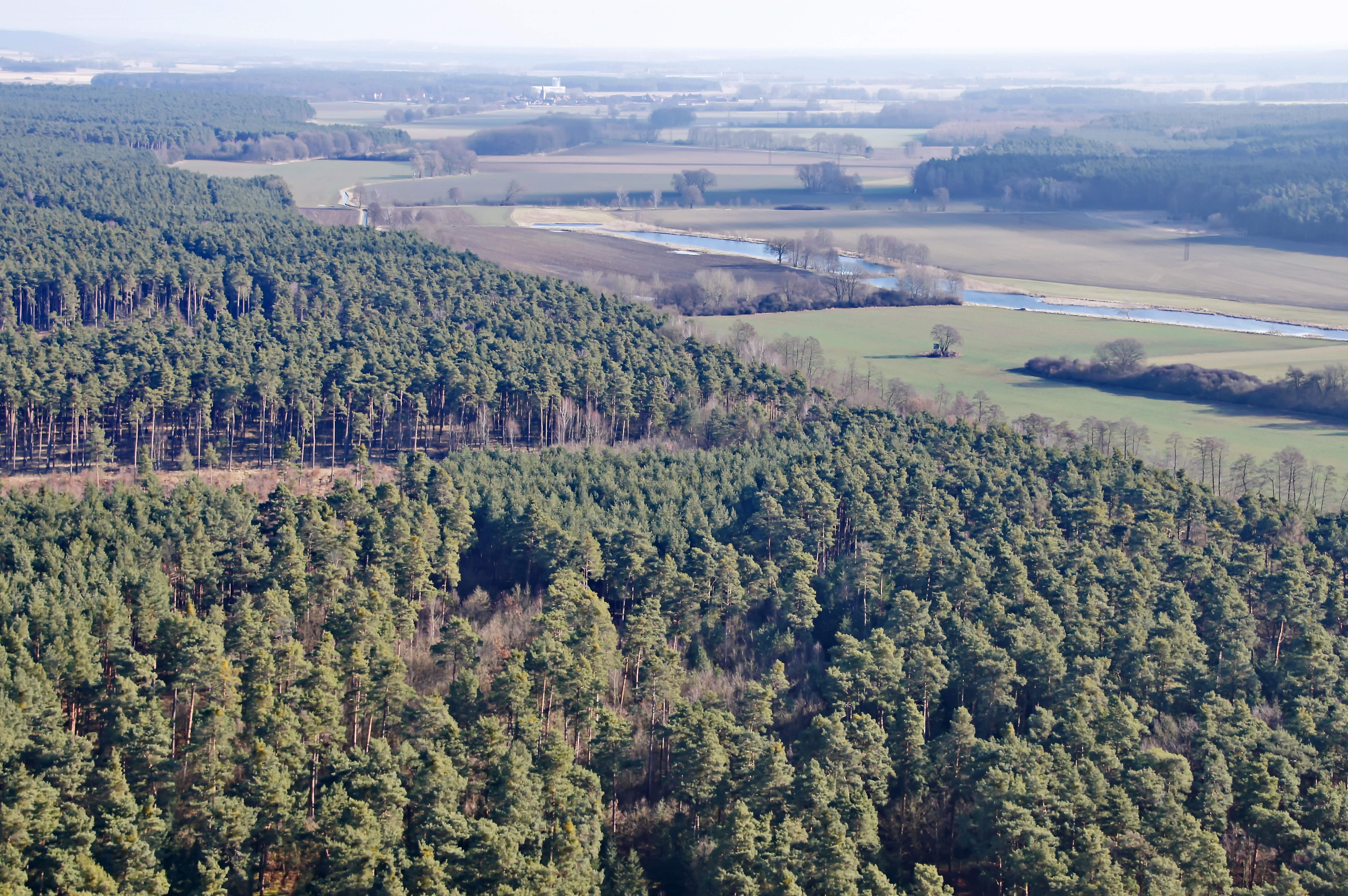
Wald bei Genthin

a round bale
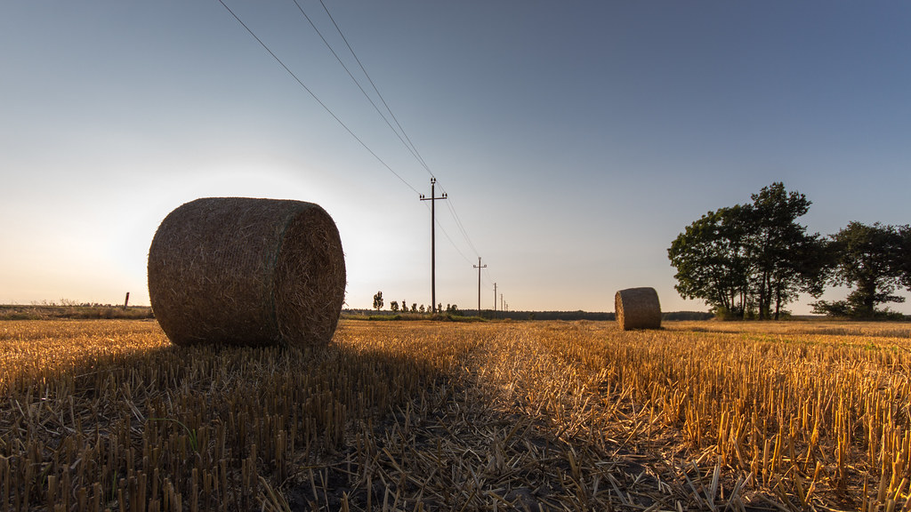
hay (in bales)
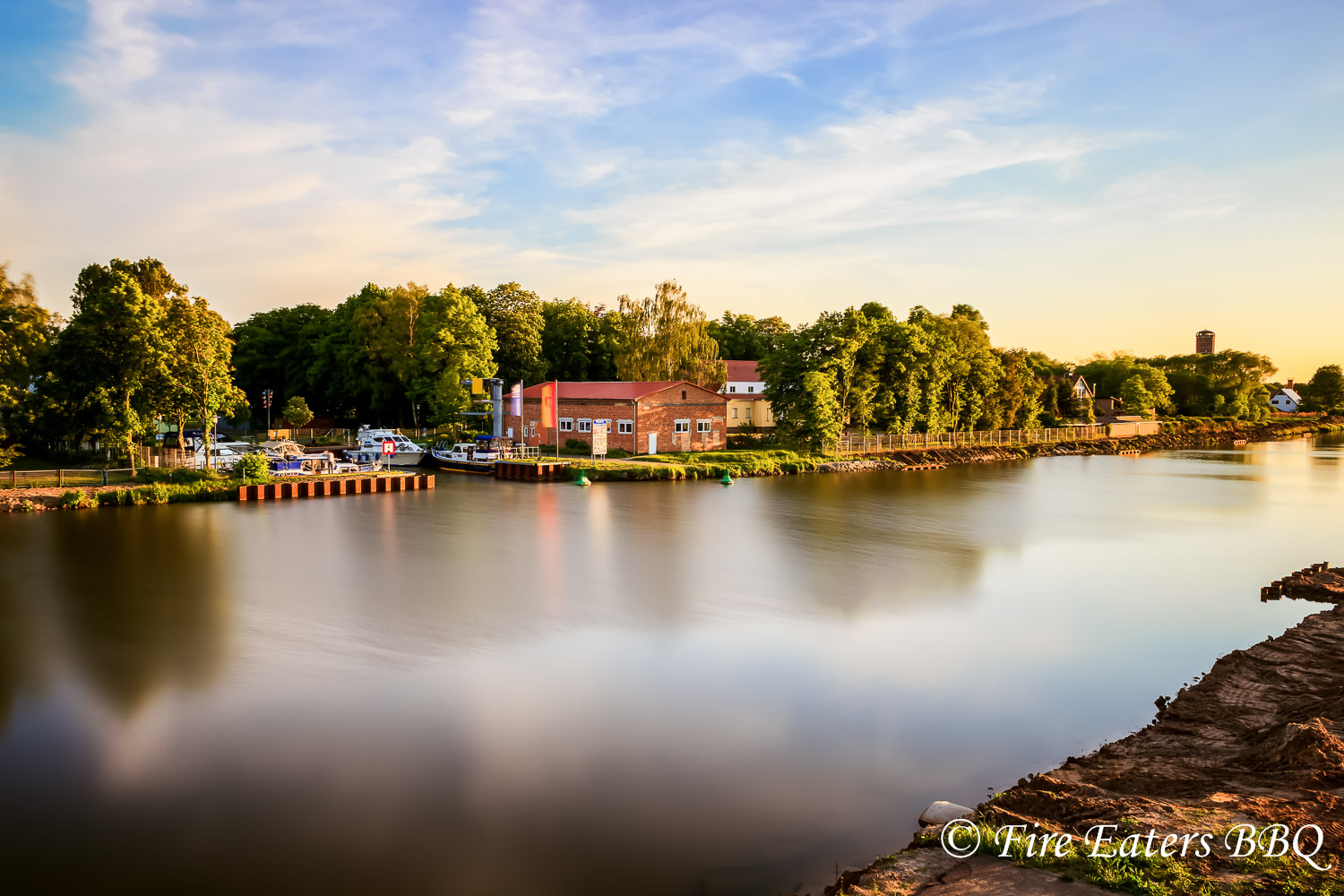
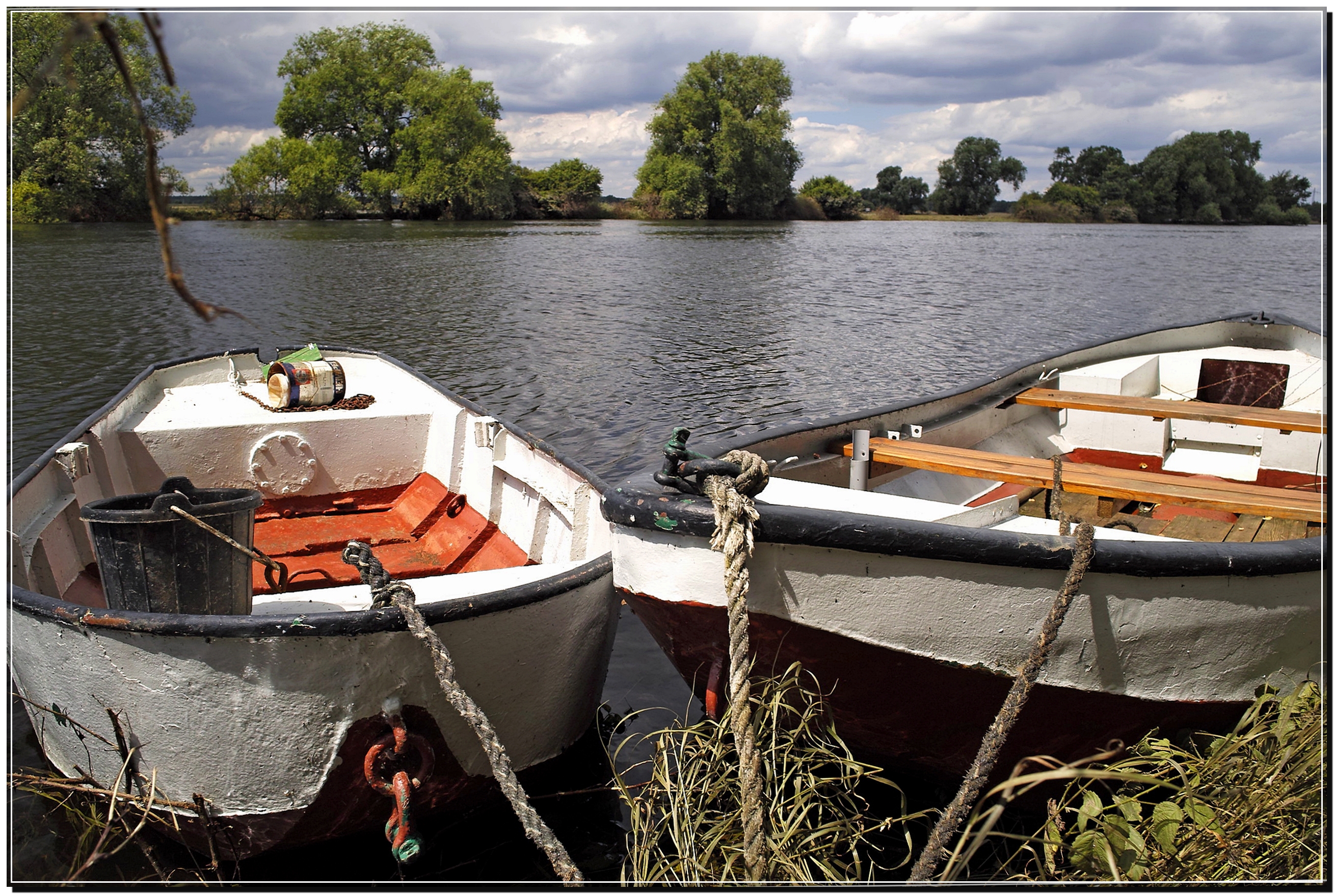
Sportboothafen Genthin
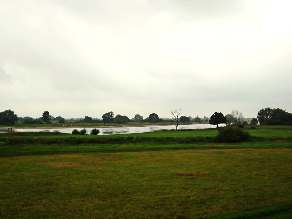
An der Elbe
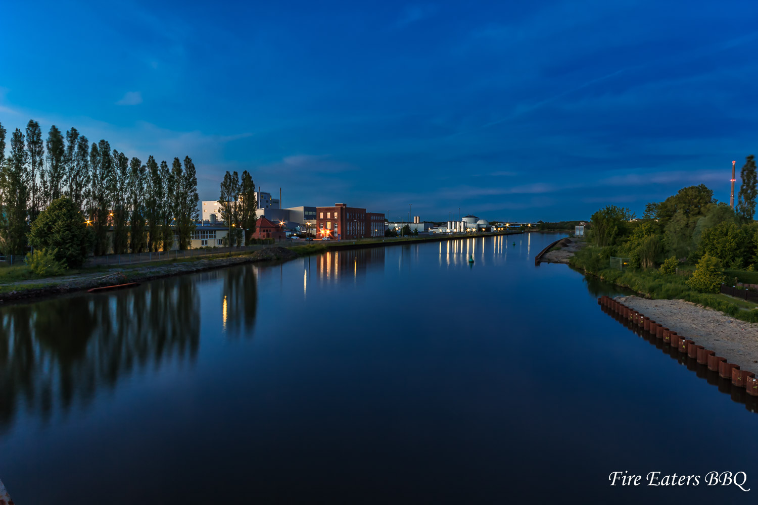
Waschmittelwerk Genthin
04.06.13 Bittkau

Tree ripple. (2)
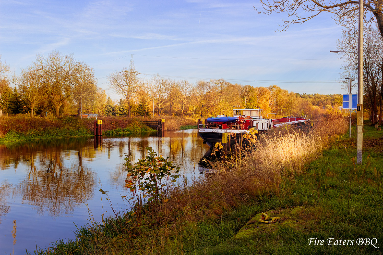
Schiff vor Anker
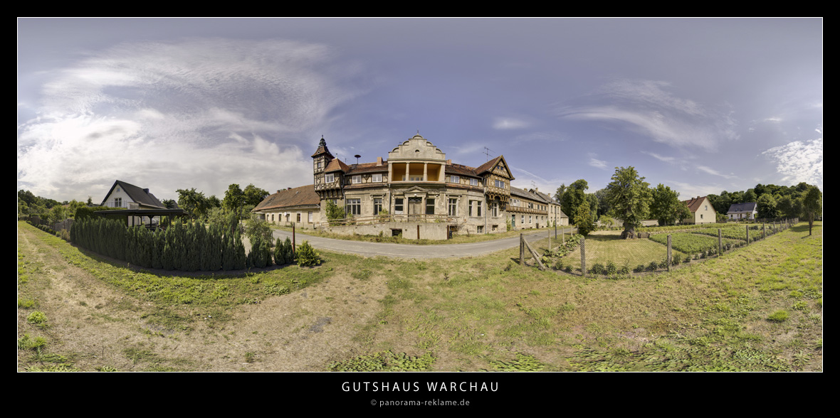
Gutshaus in Warchau
Frühling

Jerichower Land
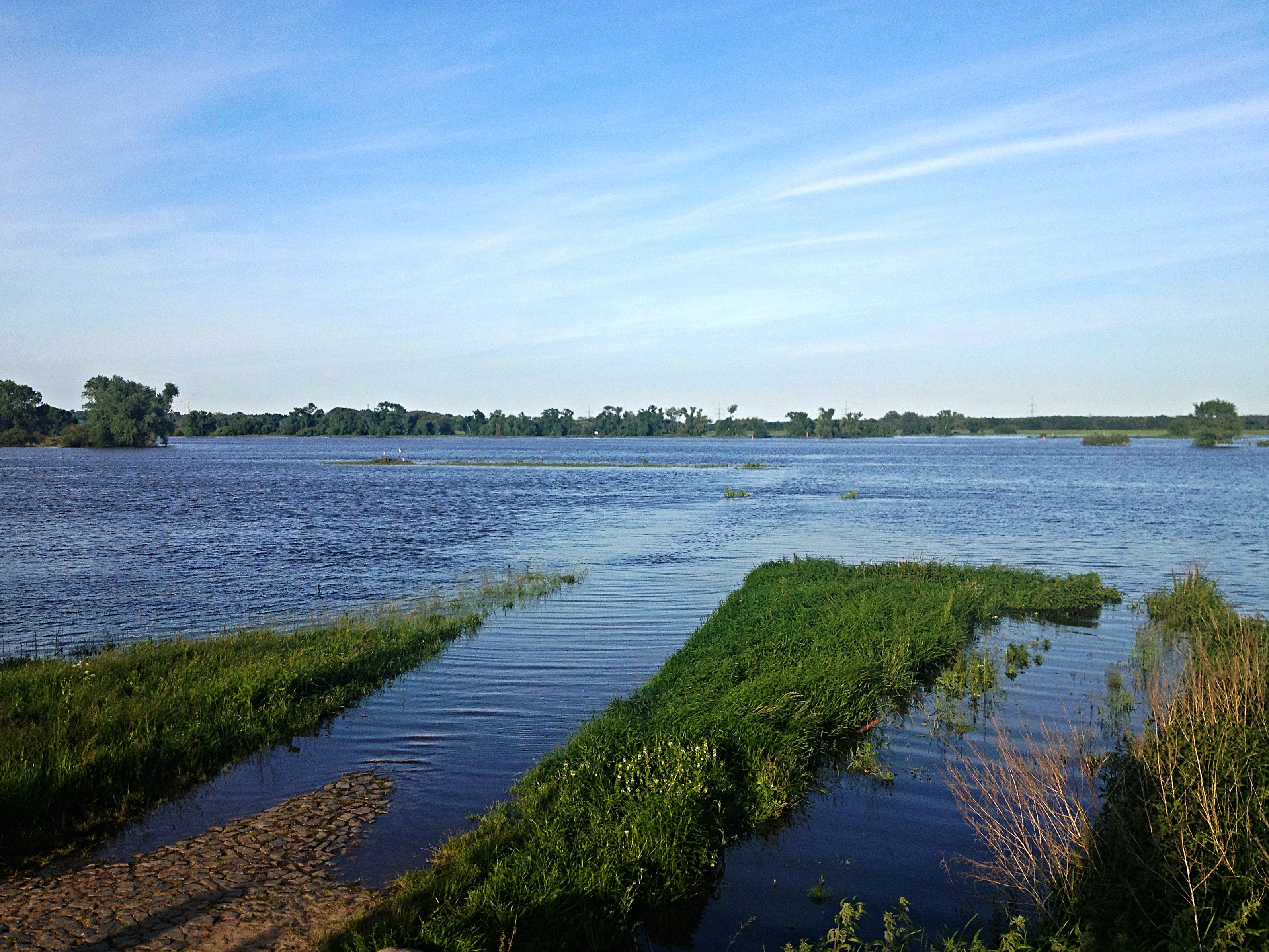
Elbe bei Polte

Sonnenuntergang am Deich
ELBE bei Derben

Tree ripple. (1)
bei Derben / Elbe-Parey

Sunset at the River
"Duo" bei Derben / Elbe
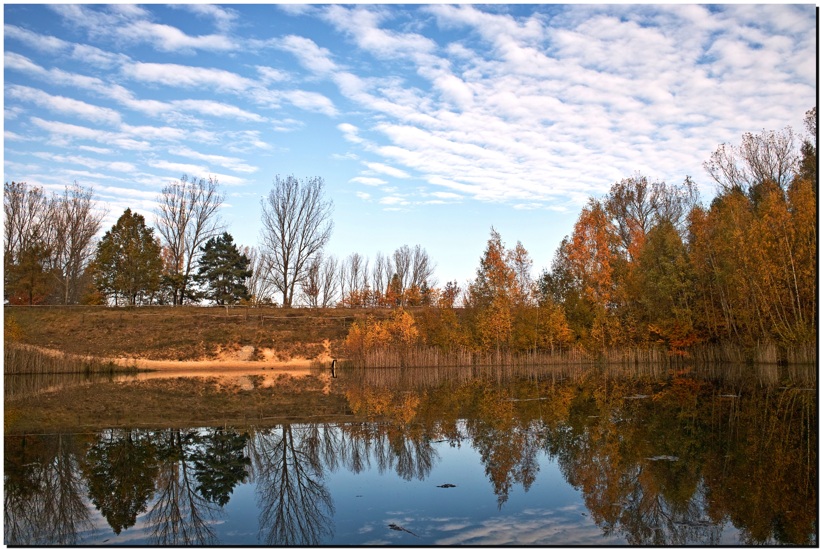
herbstlicher Feuerlöschteich / Ferchland
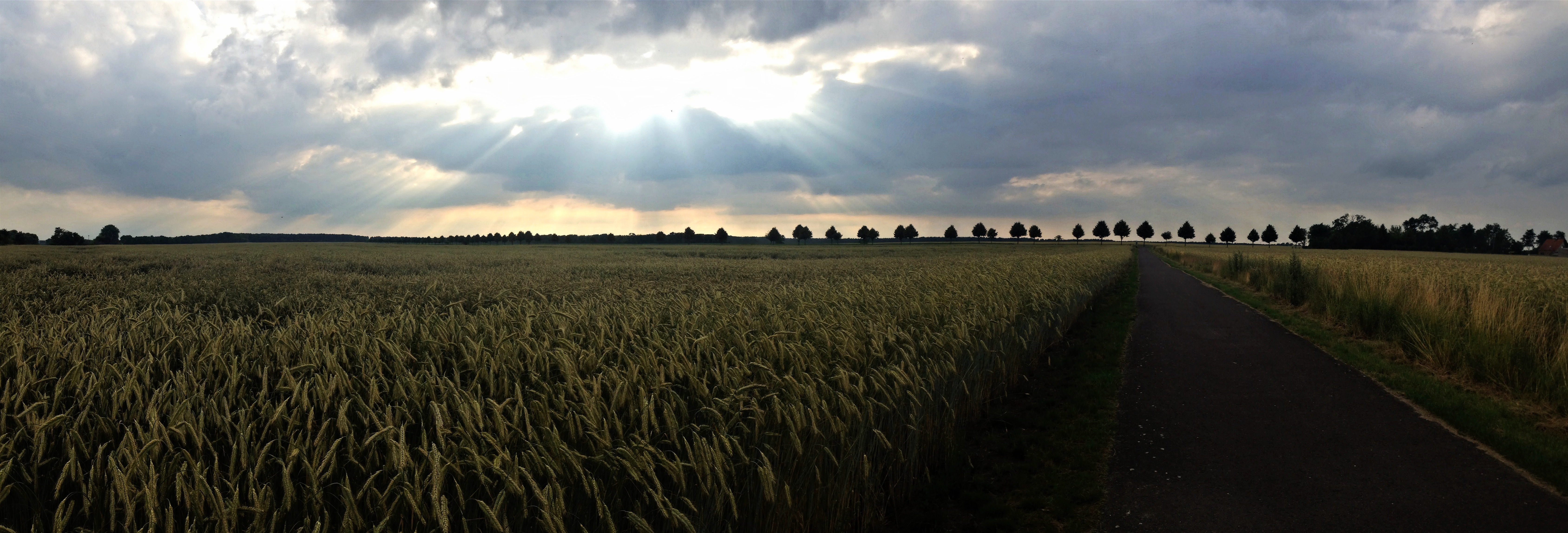
Sunset Panorama
Topographic Map of Hüttermühle, Genthin, Germany
Find elevation by address:

Places in Hüttermühle, Genthin, Germany:
Places near Hüttermühle, Genthin, Germany:
Dorfstraße 7, Genthin, Germany
Genthin
Elbe-parey
Zollchow
Breite Str. 11, Milower Land, Germany
Derben
Hauptstraße 43, Elbe-Parey, Germany
Dorfstraße 34, Rietzel, Germany
Rietzel
Str. der DSF 14, Elbe-Parey, Germany
Güsen
Milower Land
Nitzahn
Fischbeck
Hauptstraße 39, Fischbeck (Elbe), Germany
Dorfstraße 24, Möckern, Germany
Böhne
Großwudicke
Rathenower Chaussee 1, Milower Land, Germany
An der Ihle 12, Möckern, Germany
Recent Searches:
- Elevation of Kootenai Trail Rd, Bonners Ferry, ID, USA
- Elevation of Hickory Blvd, Bonita Springs, FL, USA
- Elevation of Lalagbene, Bayelsa, Nigeria
- Elevation of Ogbosuware Health Centre, 2WWJ+4PJ, Lalagbene, Bayelsa, Nigeria
- Elevation of Duckhorn Ct, Las Vegas, NV, USA
- Elevation of Garretts Run Rd, Ford City, PA, USA
- Elevation of N WI-55, Freedom, WI, USA
- Elevation map of Hadiya, Ethiopia
- Elevation of Hosaina, Ethiopia
- Elevation of Verde Terrace, North Port, FL, USA