Elevation of Edgerton, WY, USA
Location: United States > Wyoming > Natrona County >
Longitude: -106.24946
Latitude: 43.4130271
Elevation: 1494m / 4902feet
Barometric Pressure: 85KPa
Elevation Map:
Satellite Map:
Related Photos:
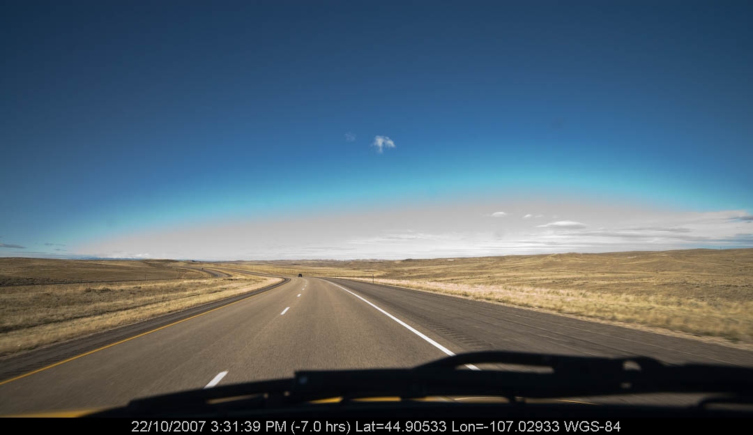
PenskeOne-124.jpg
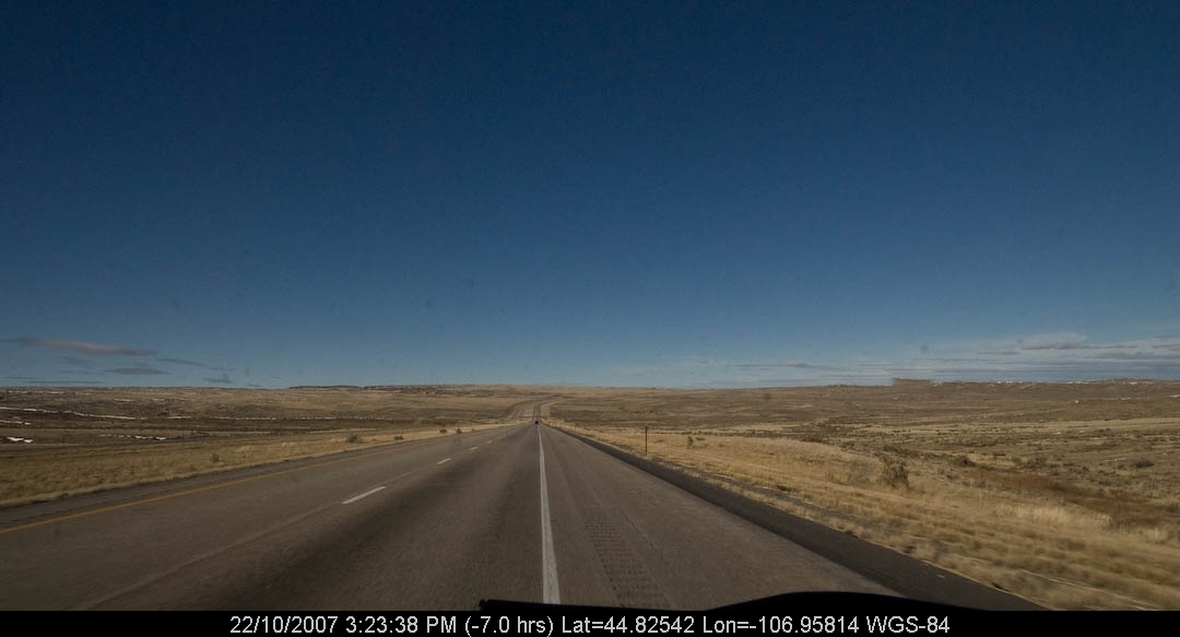
PenskeOne-122.jpg
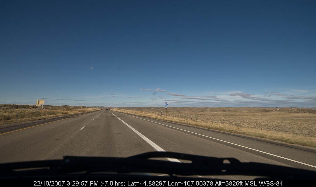
PenskeOne-123.jpg

Salt Creek Power Plant
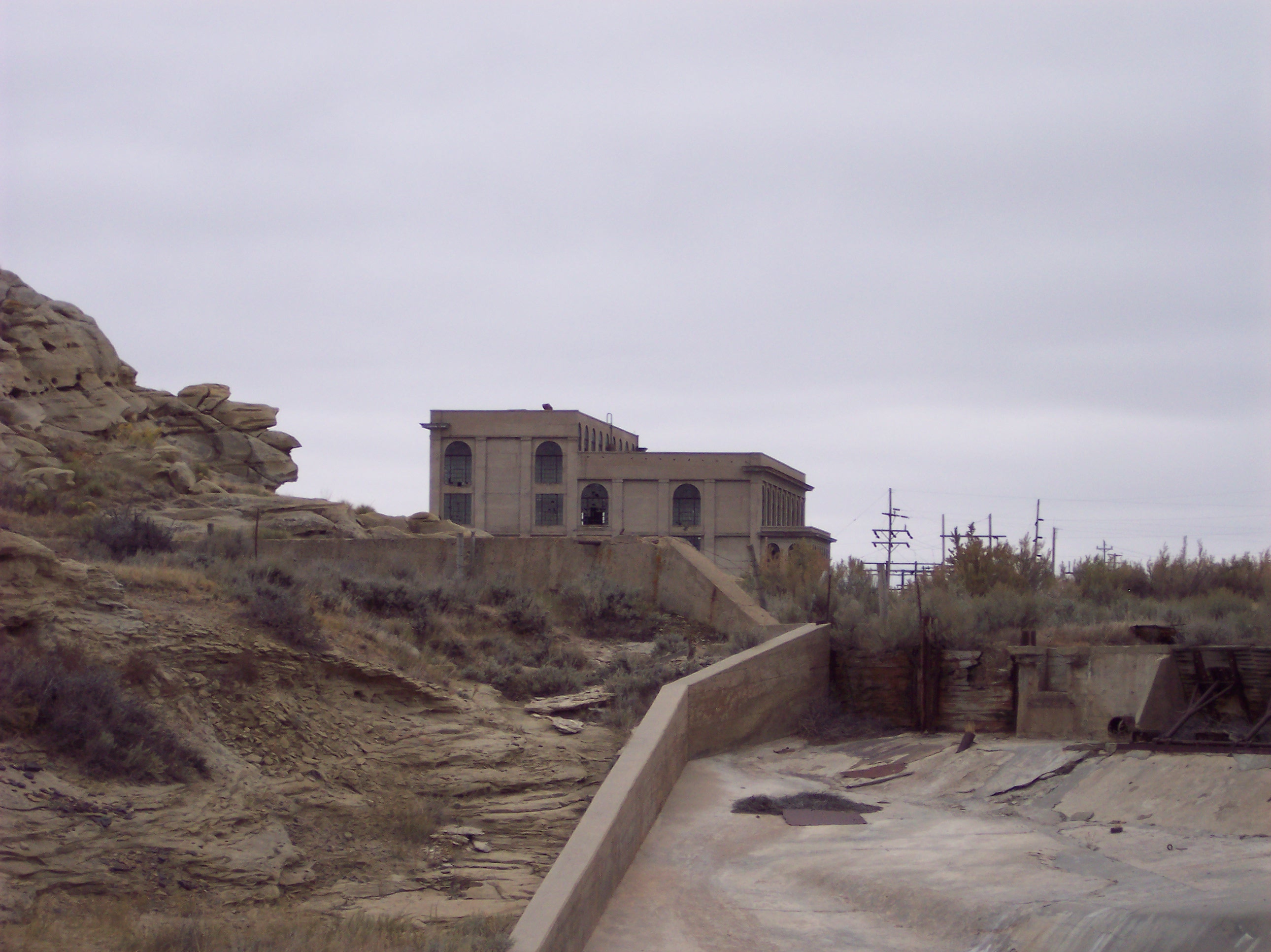
Salt Creek Power Plant
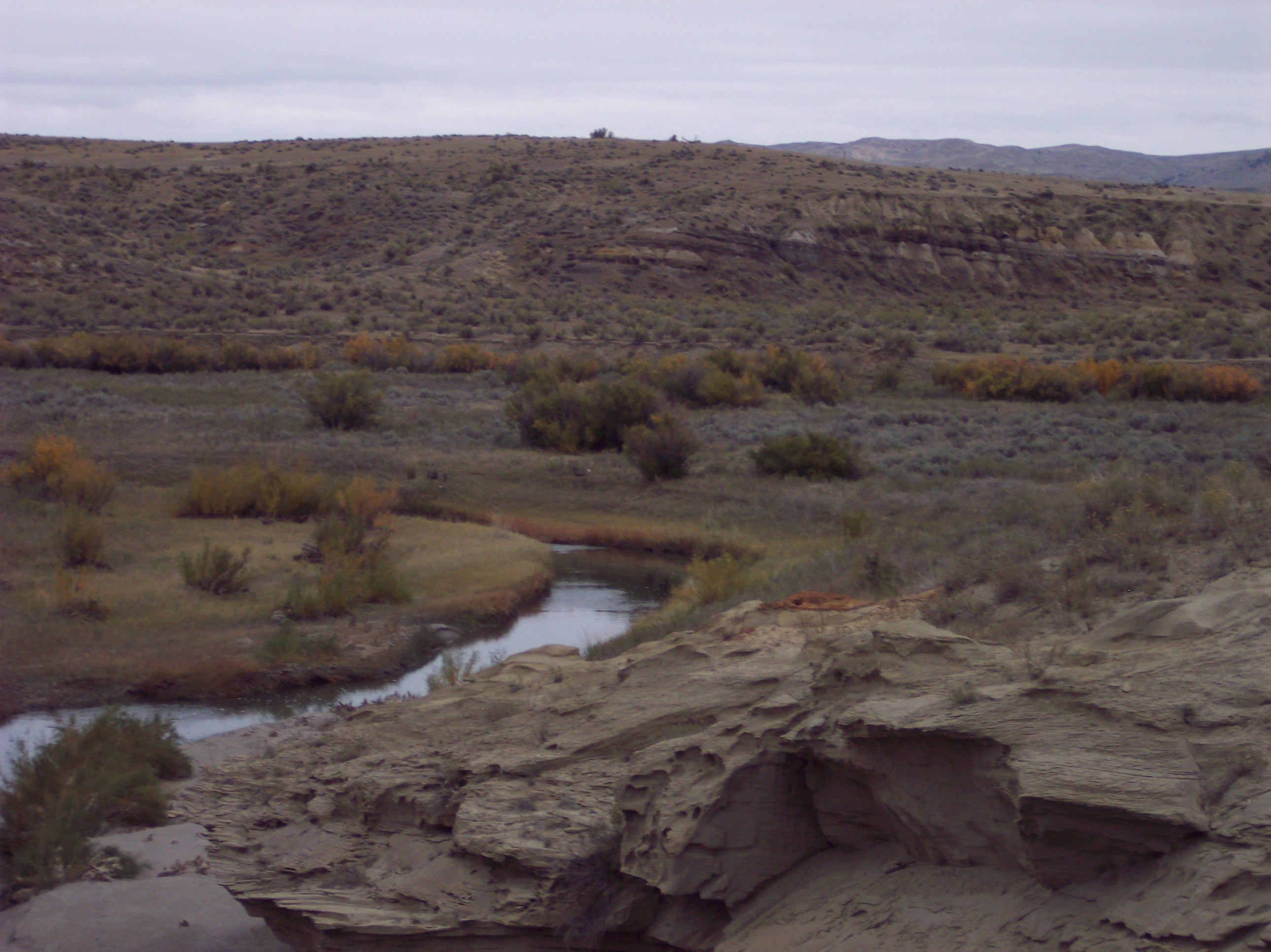
Salt Creek Power Plant
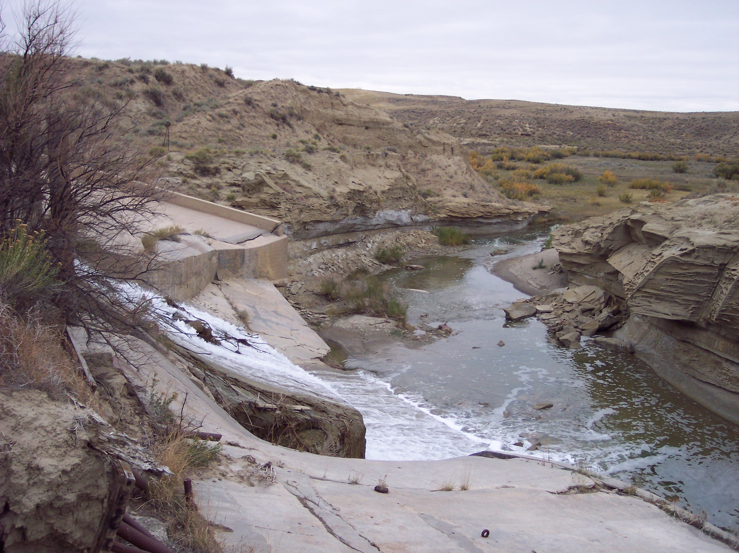
Salt Creek Power Plant
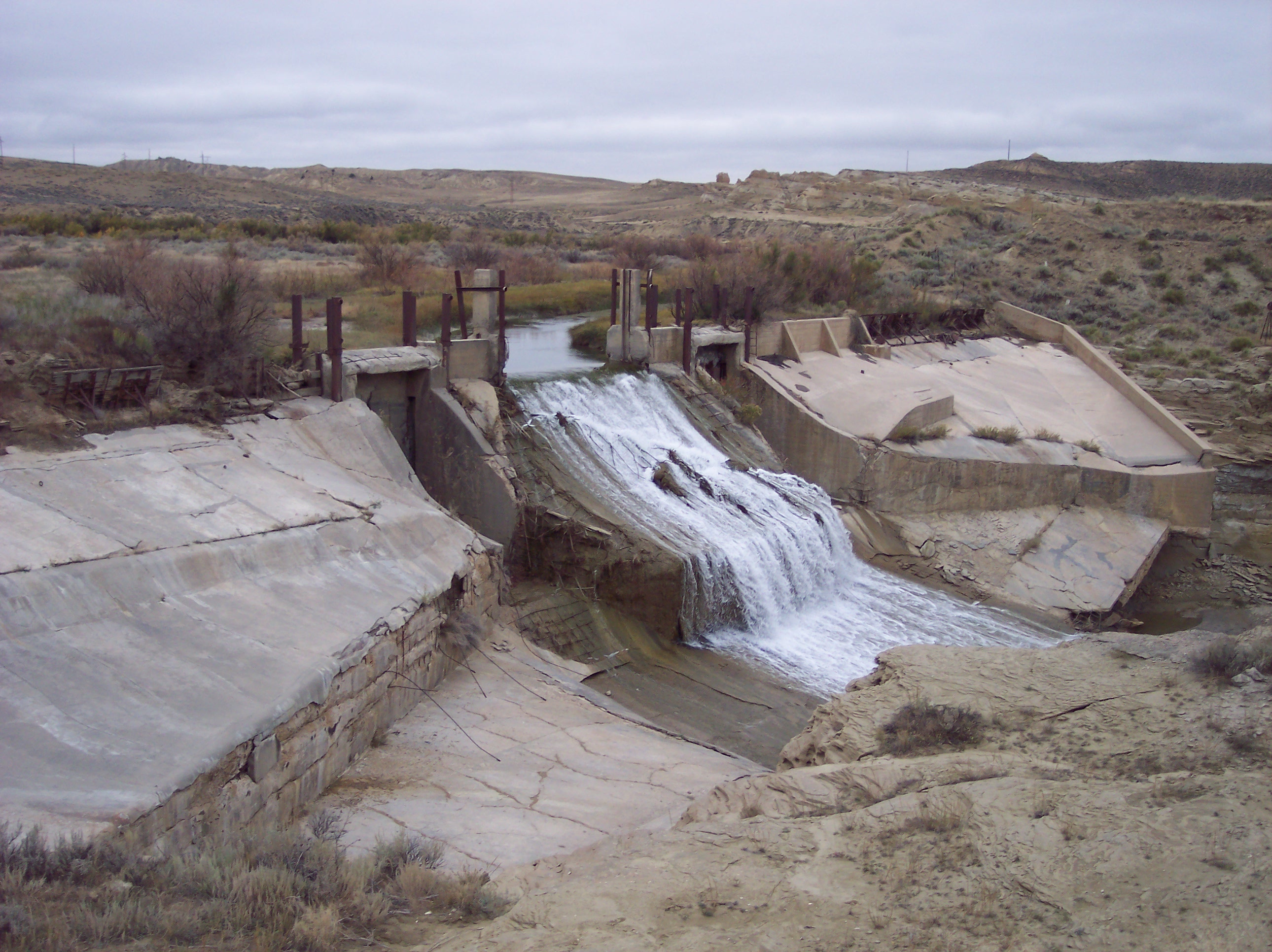
Salt Creek Power Plant
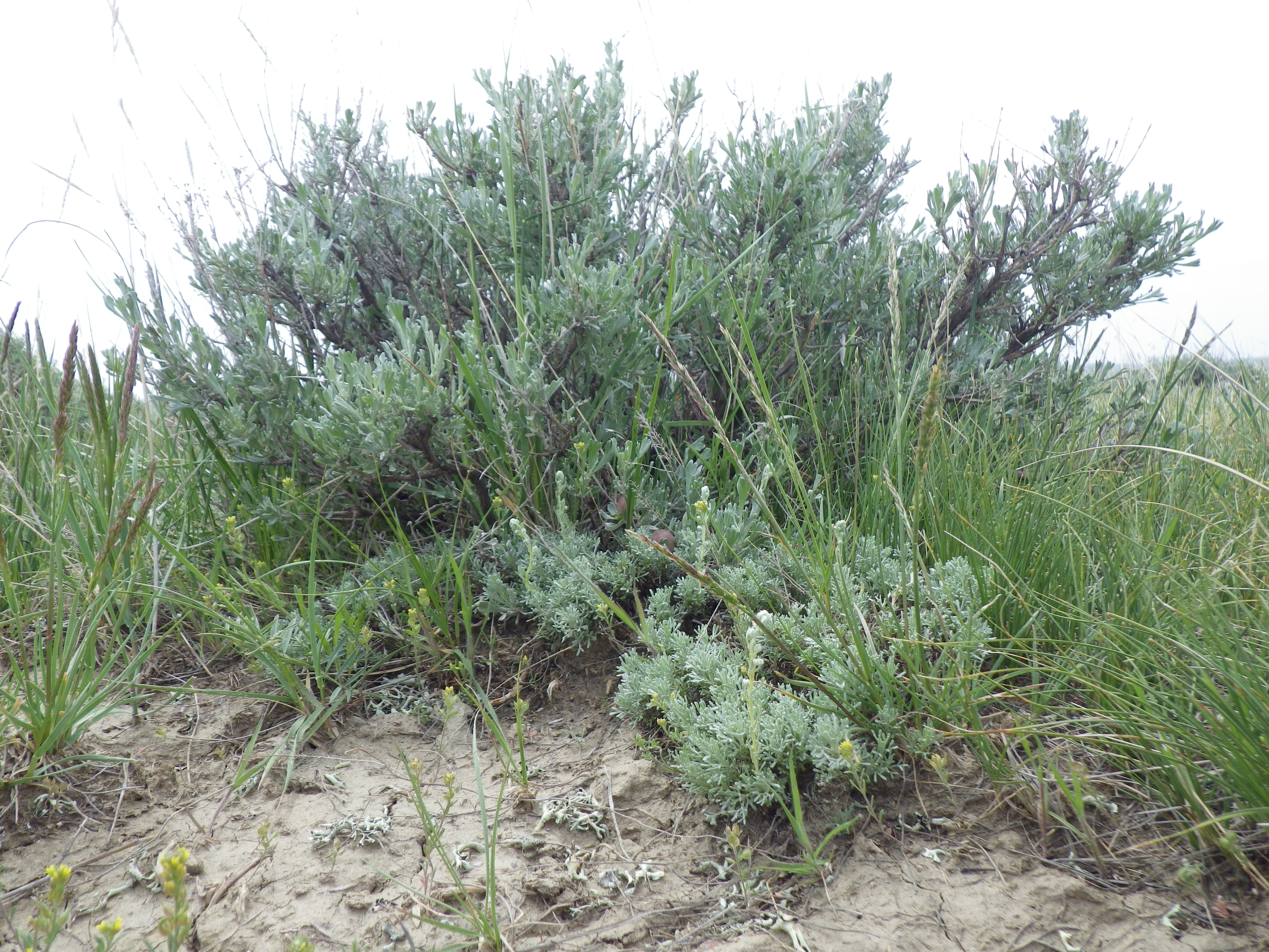
Artemisia pedatifida in front of A. tridentata wyomingensis (Sagebrush steppe from Casper and Kaycee, Wyoming)

Sagebrush steppe from Casper and Kaycee, Wyoming
Topographic Map of Edgerton, WY, USA
Find elevation by address:

Places in Edgerton, WY, USA:
Places near Edgerton, WY, USA:
Cottonwood St, Edgerton, WY, USA
Midwest
Antelope Hills
Prairie Dog Dr, Bar Nunn, WY, USA
Homa Hills Rd, Casper, WY, USA
Pantheon
Copperhead Drive
5345 Copperhead Dr
Bar Nunn
1820 Sunset Blvd
Salt Creek Hwy, Casper, WY, USA
Bucknum Rd, Casper, WY, USA
Casper
1 Events Dr
Evansville
Brookhurst
5200 E Yellowstone Hwy
803 N Durbin St
W Yellowstone Hwy, Casper, WY, USA
144 S Center St
Recent Searches:
- Elevation of Placer Mine Ln, West Jordan, UT, USA
- Elevation of E 63rd St, New York, NY, USA
- Elevation of Elk City, OK, USA
- Elevation of Erika Dr, Windsor, CA, USA
- Elevation of Village Ln, Finleyville, PA, USA
- Elevation of 24 Oakland Rd #, Scotland, ON N0E 1R0, Canada
- Elevation of Deep Gap Farm Rd E, Mill Spring, NC, USA
- Elevation of Dog Leg Dr, Minden, NV, USA
- Elevation of Dog Leg Dr, Minden, NV, USA
- Elevation of Kambingan Sa Pansol Atbp., Purok 7 Pansol, Candaba, Pampanga, Philippines