Elevation map of Natrona County, WY, USA
Location: United States > Wyoming >
Longitude: -106.91225
Latitude: 42.8313837
Elevation: 1792m / 5879feet
Barometric Pressure: 82KPa
Elevation Map:
Satellite Map:
Related Photos:
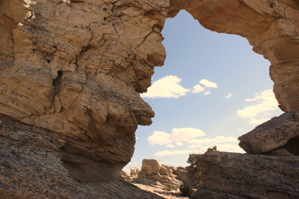
Gate way to the east?
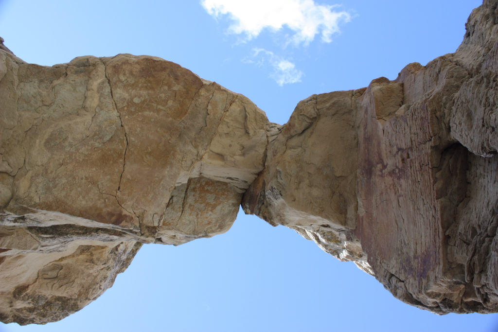
Underside of a natural bridge
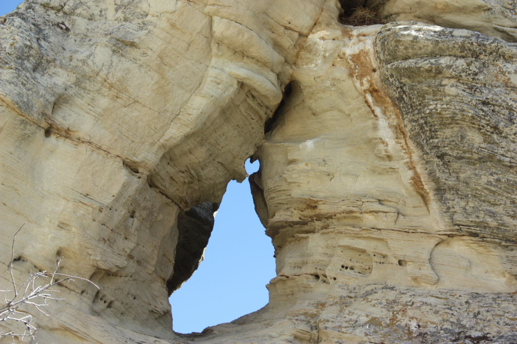
Lovers' Rock
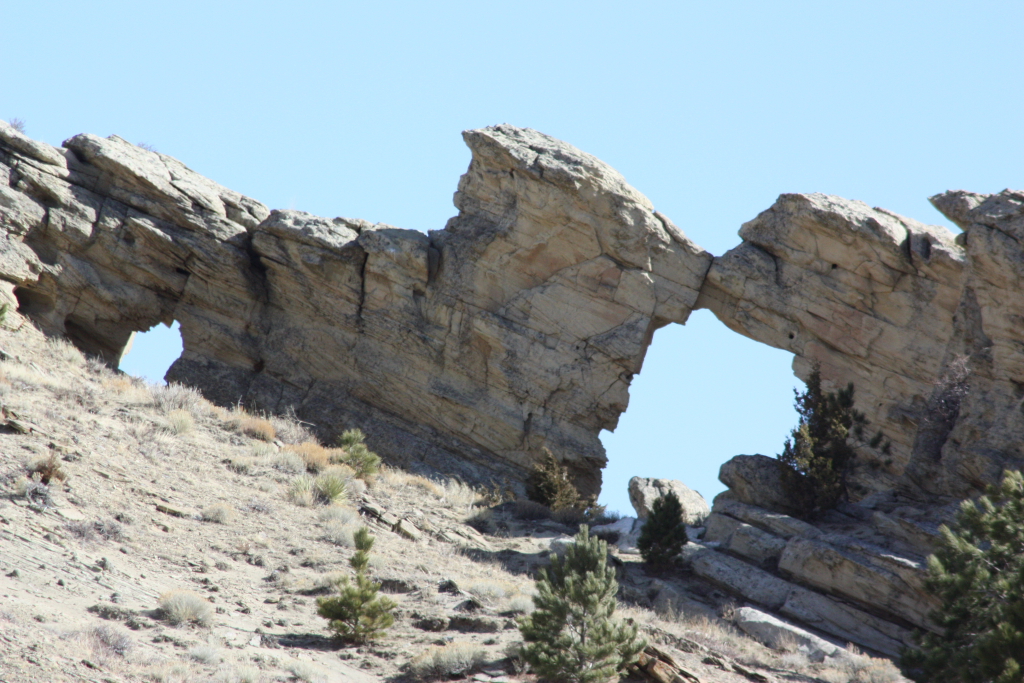
The hill is really that steep
Topographic Map of Natrona County, WY, USA
Find elevation by address:

Places in Natrona County, WY, USA:
Casper
Evansville
Antelope Hills
Edgerton
Arminto
Meadow Acres
Midwest
Mills
Powder River
Brookhurst
Kortes Rd, Alcova, WY, USA
Wyoming 220
Casper Mountain
Bar Nunn
Places near Natrona County, WY, USA:
Powder River
Sweetwater River
Gas Hills Rd, Casper, WY, USA
Wyoming
Devils Gate
Arminto
Arminto Rd, Arminto, WY, USA
10 Lost Cabin Rd, Lysite, WY, USA
Antelope Dr, Bairoil, WY, USA
Bairoil
Moneta
37 Moneta Srv Rd, Shoshoni, WY, USA
1207 Beebe Ave
65 Wyoming St, Lysite, WY, USA
Shoshoni
1117 California St
Poison Creek
4176 Wy-789
Sweetwater Station
Jones Creek Rd, Thermopolis, WY, USA
Recent Searches:
- Elevation of Corso Fratelli Cairoli, 35, Macerata MC, Italy
- Elevation of Tallevast Rd, Sarasota, FL, USA
- Elevation of 4th St E, Sonoma, CA, USA
- Elevation of Black Hollow Rd, Pennsdale, PA, USA
- Elevation of Oakland Ave, Williamsport, PA, USA
- Elevation of Pedrógão Grande, Portugal
- Elevation of Klee Dr, Martinsburg, WV, USA
- Elevation of Via Roma, Pieranica CR, Italy
- Elevation of Tavkvetili Mountain, Georgia
- Elevation of Hartfords Bluff Cir, Mt Pleasant, SC, USA