Elevation of East Waterboro, Waterboro, ME, USA
Location: United States > Maine > York County > Waterboro >
Longitude: -70.682848
Latitude: 43.5719825
Elevation: 90m / 295feet
Barometric Pressure: 100KPa
Elevation Map:
Satellite Map:
Related Photos:

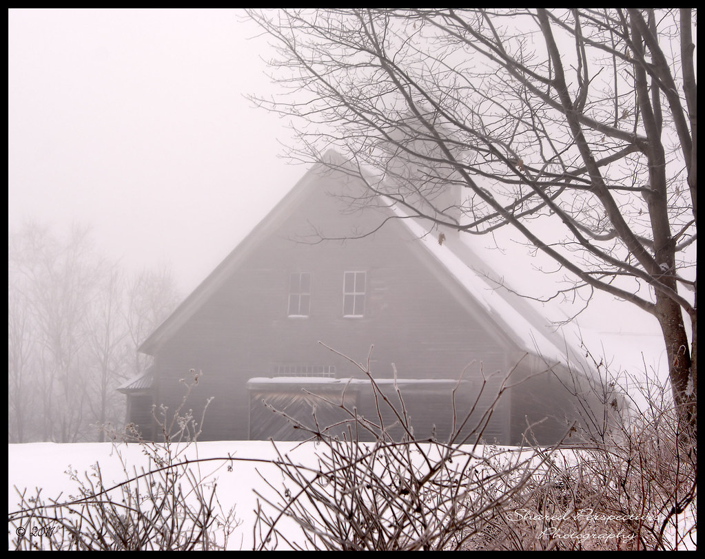
Gore Rd barn
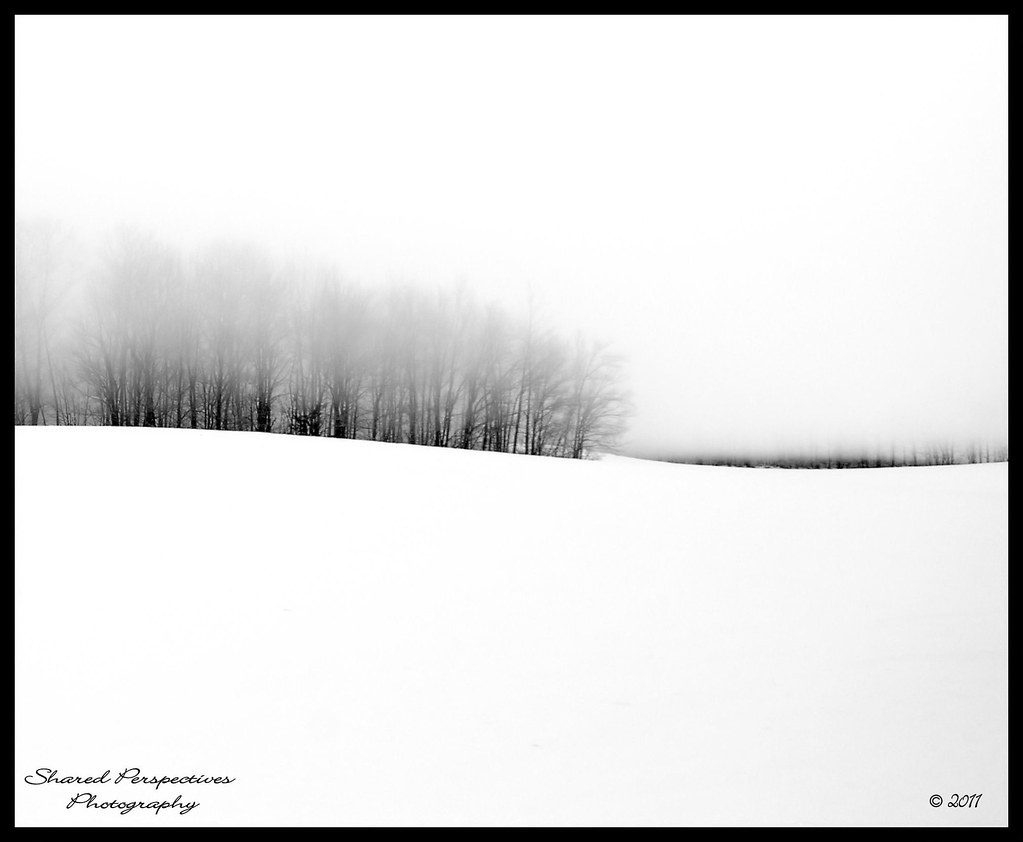
Where Clouds and Snow Meet b&w
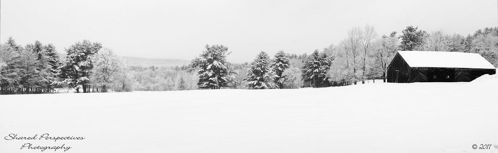
Colorless Winter
In the Clouds

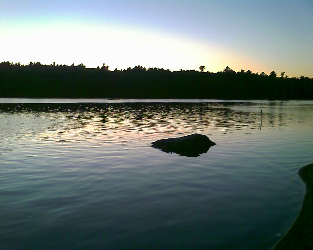
Framed sunrise over Little Ossipee
Snowy Serenity

Magical Mystery Tour
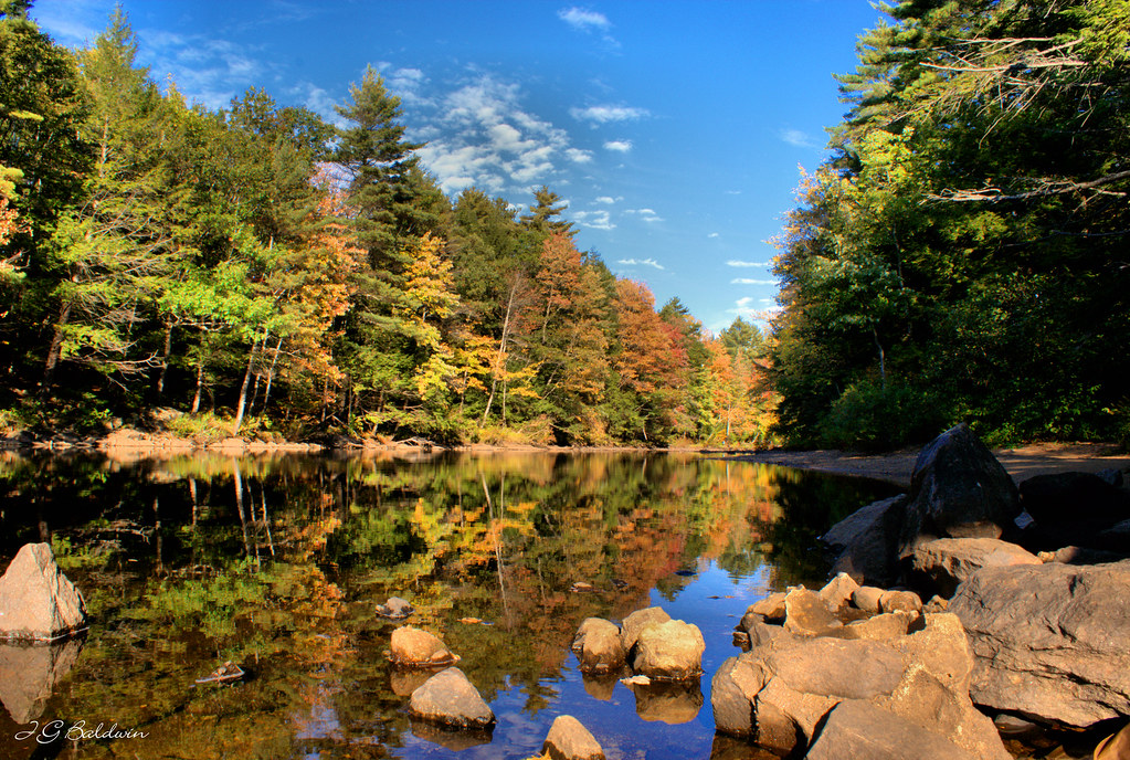
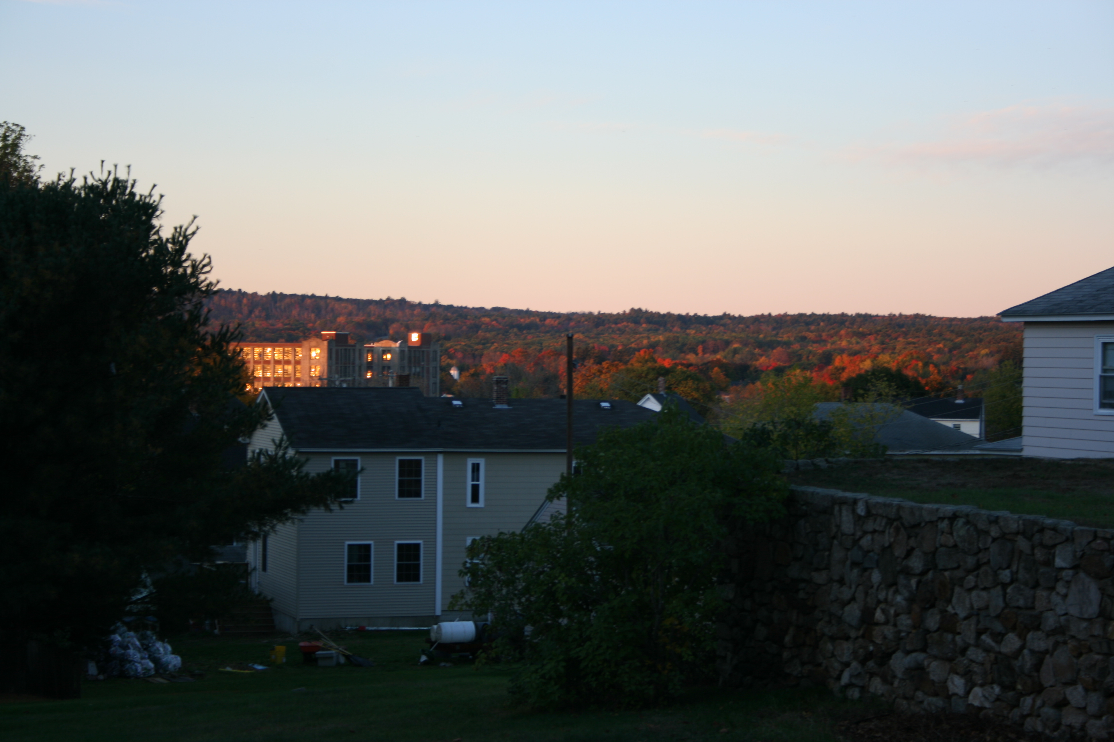
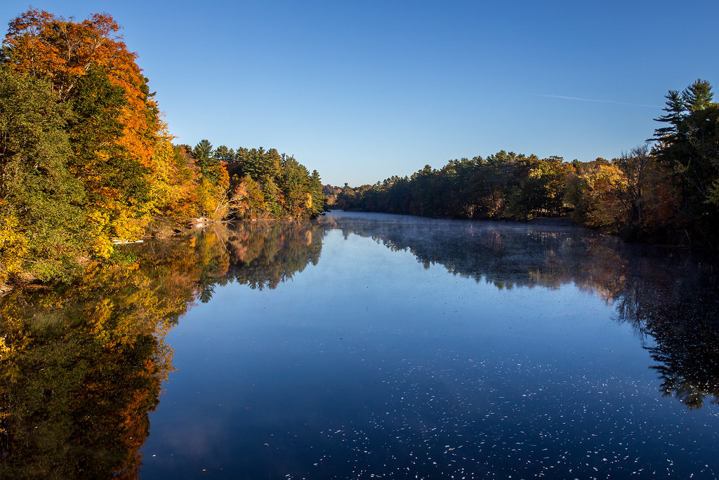
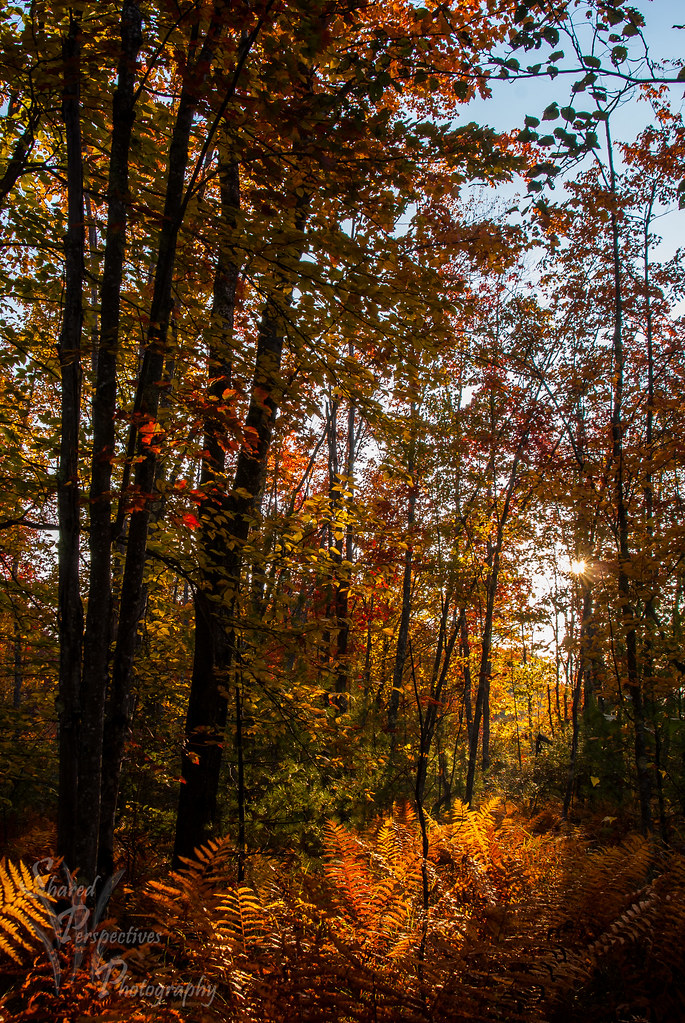
Autumn's Beginning
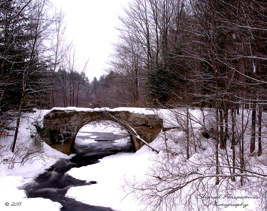
Rt 202 stone bridge

Slow Boat to.....Cynthia at Estes Lake
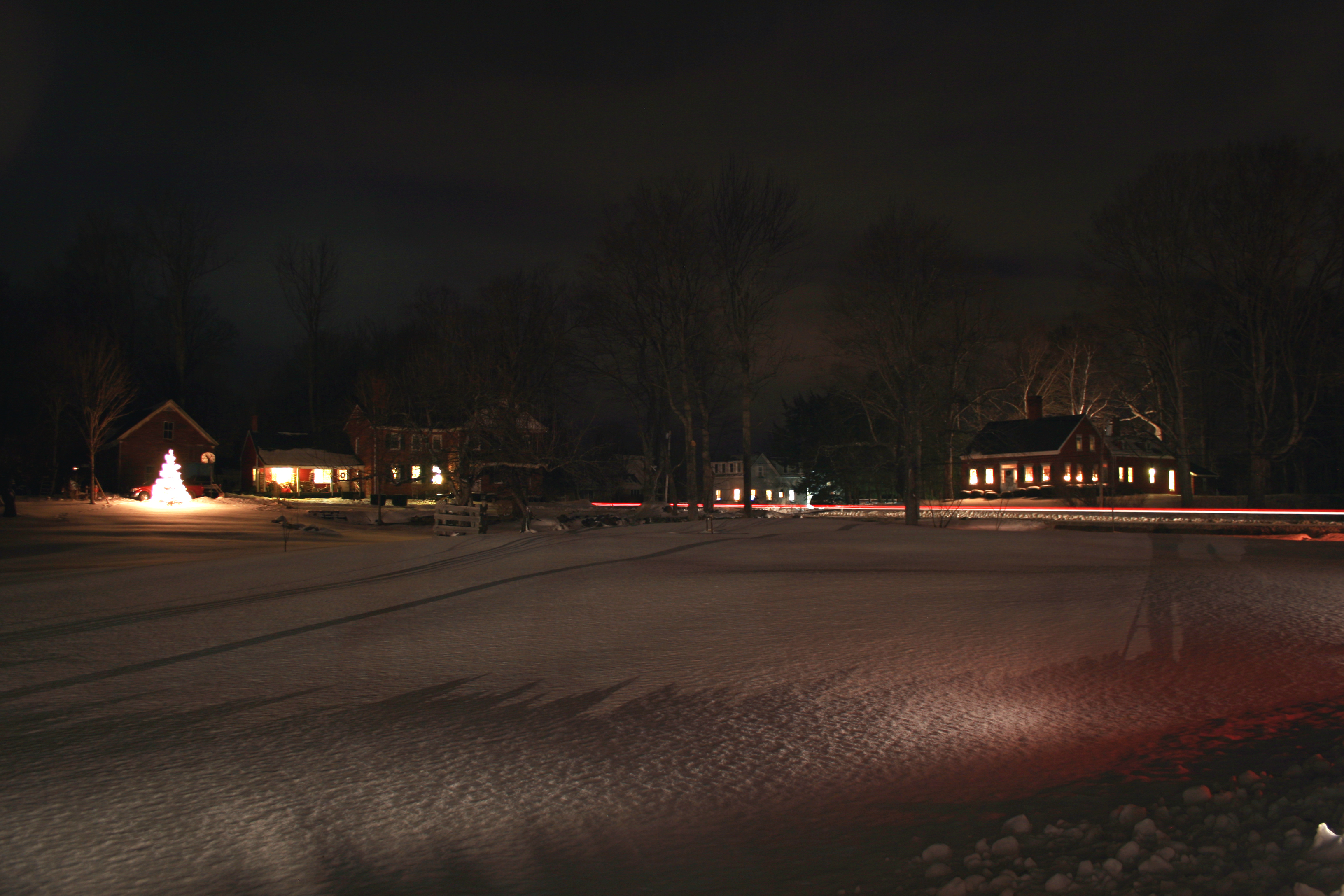
Winter Nights in Maine

Another view.
Morning View
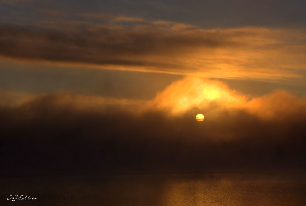
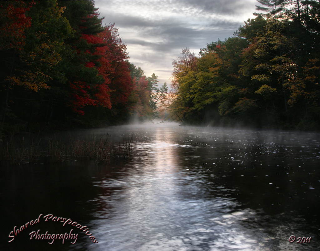
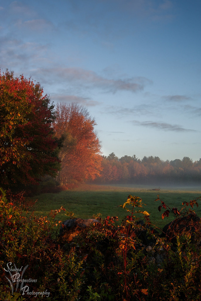
Little Ossipee foggy sunrise

♥ ♥ ♥
UW_Day_of_Caring_2009-01
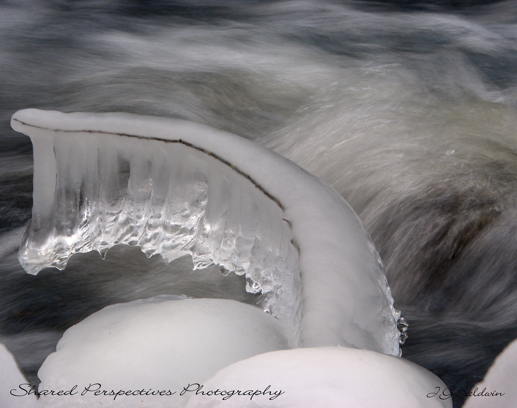
Ice formation
morning view from hospital hill
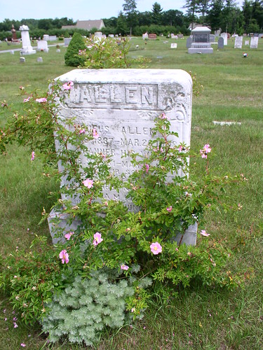
Rufus Allen
Kennebunk Rd dam

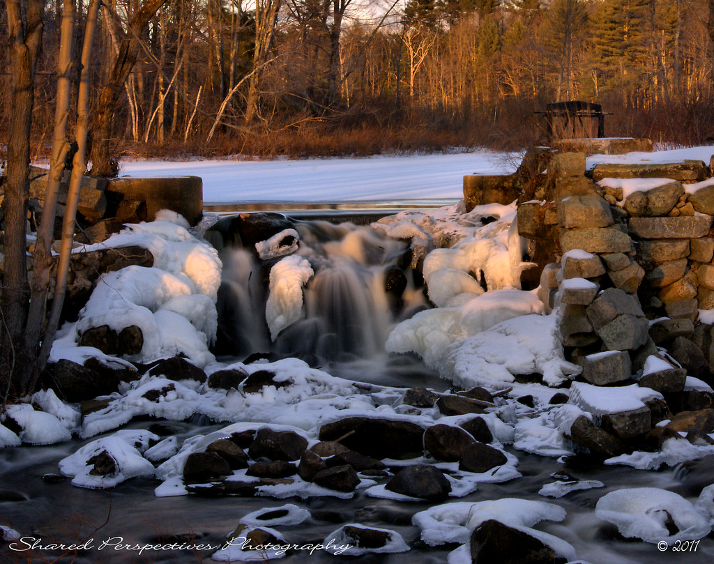
Frozen Falls
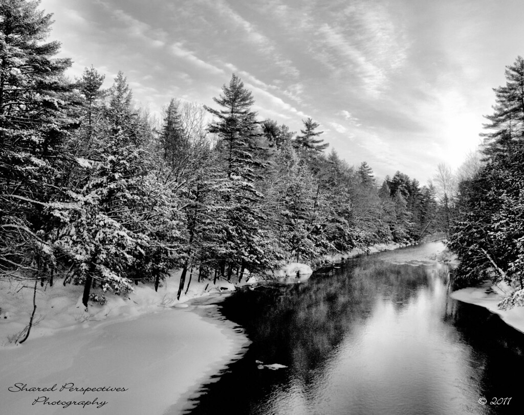
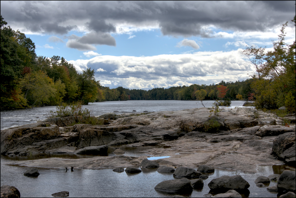
Morning on the Saco River
Farewell ho Fall, Wadleigh Pond
Early Autumn Morning
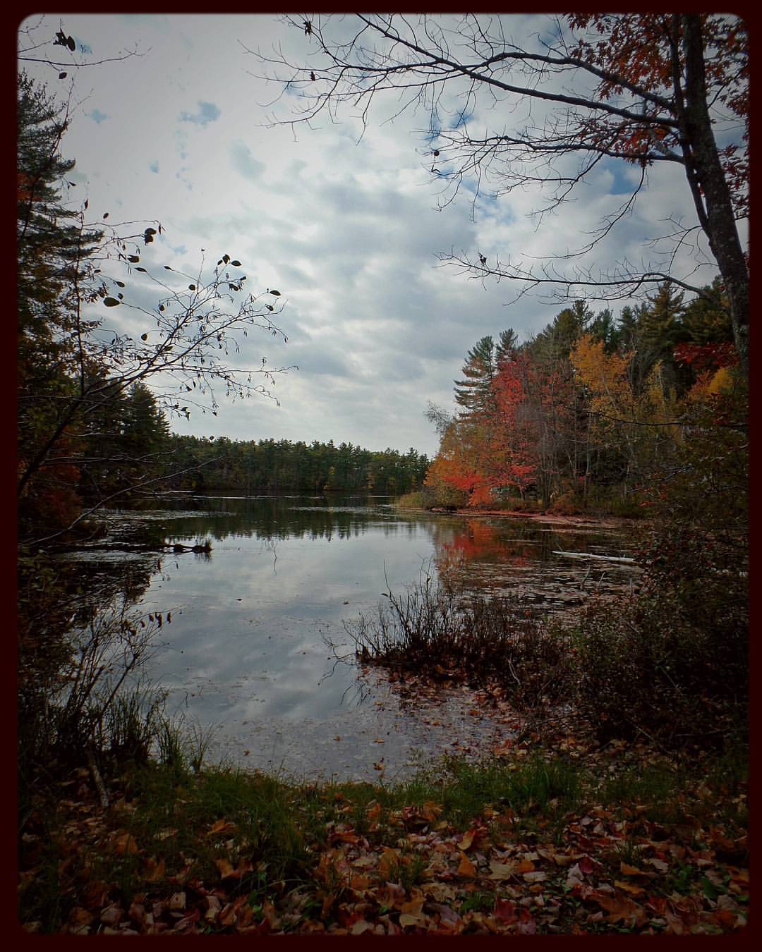
The marshy side of Wadleigh Pond
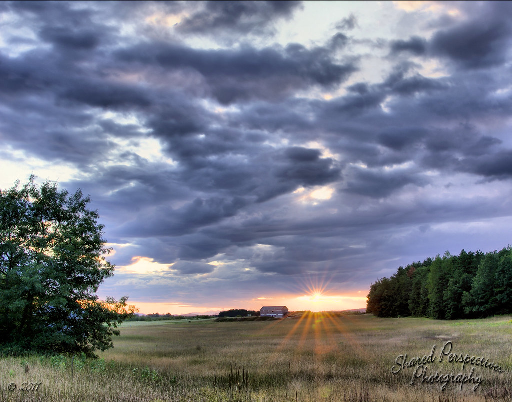
West Buxton Field Sunset HDR

Spring's Rage
Tonight's sunset from River Road in Dayton
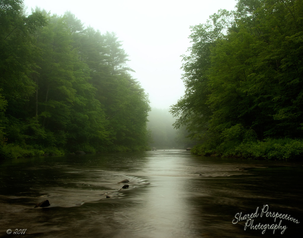
Foggy Start
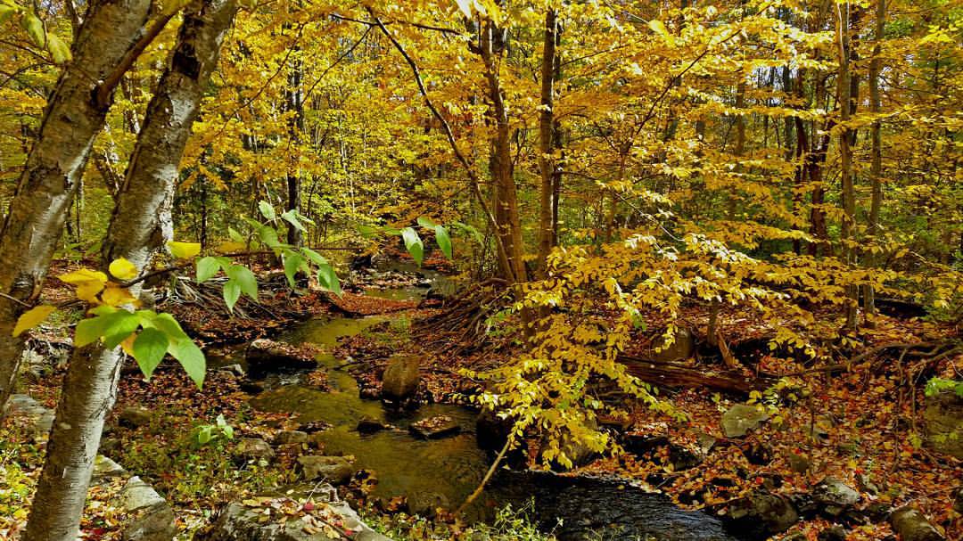
Cooks Brook in Dayton
"Golden Light of Autumn"
Limerick colors #maine #fall
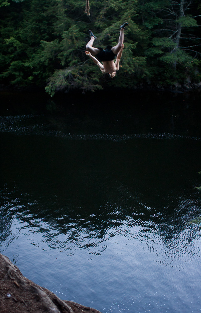
DO A BACKFLIP
"Autumn Gold"
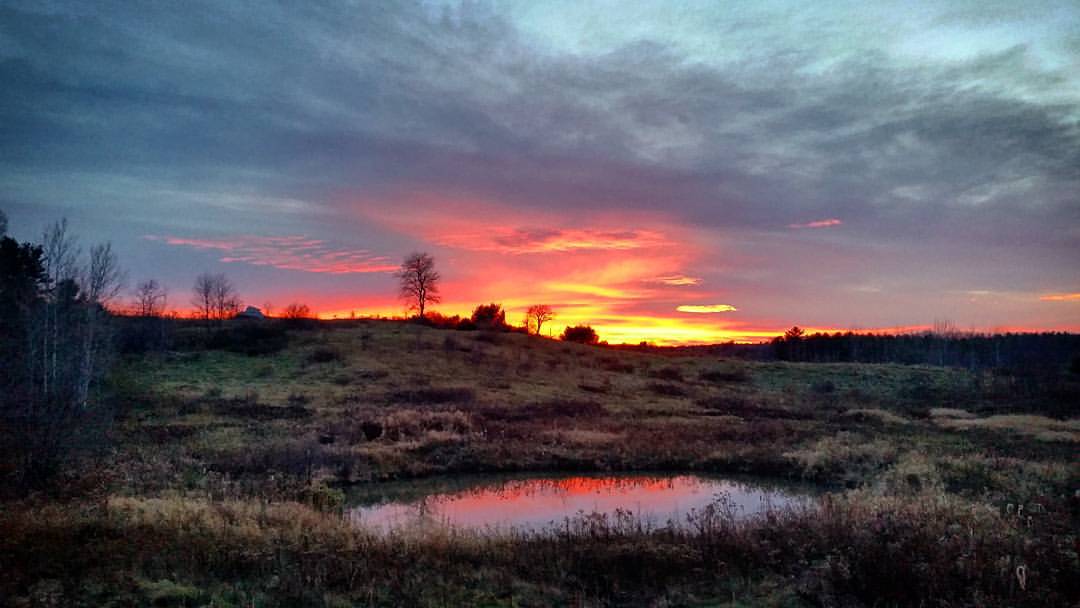
Breaking Dawn
Morning Light
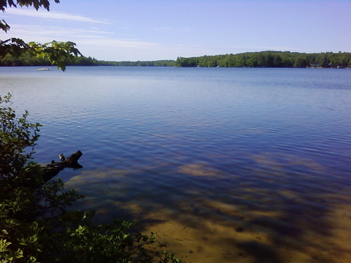
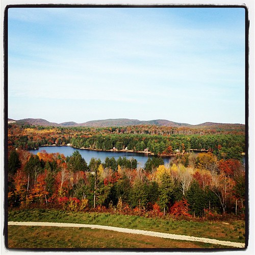
Bunganut Lake - Alfred, ME

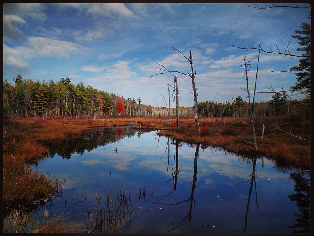
Almost winter reflections
Saco River, Maine, as storm approaches.
Pumpkin Valley 78
Topographic Map of East Waterboro, Waterboro, ME, USA
Find elevation by address:

Places near East Waterboro, Waterboro, ME, USA:
6 James Dr
55 Straw Mill Brooke Rd
62 Straw Mill Brooke Rd
62 Straw Mill Brooke Rd
62 Straw Mill Brooke Rd
405 Ossipee Hill Rd
Waterboro
630 West Rd
630 West Rd
630 West Rd
630 West Rd
Gore Rd, Alfred, ME, USA
50 Waterboro Rd
54 Fort Ridge Rd
60 Fort Ridge Rd
8 Kennebunk Rd
Alfred
61 Pebble Brook Dr
1183 Gore Rd
Brackett Hill
Recent Searches:
- Elevation of Pu Ngaol Community Meeting Hall, HWHM+3X7, Krong Saen Monourom, Cambodia
- Elevation of Royal Ontario Museum, Queens Park, Toronto, ON M5S 2C6, Canada
- Elevation of Groblershoop, South Africa
- Elevation of Power Generation Enterprises | Industrial Diesel Generators, Oak Ave, Canyon Country, CA, USA
- Elevation of Chesaw Rd, Oroville, WA, USA
- Elevation of N, Mt Pleasant, UT, USA
- Elevation of 6 Rue Jules Ferry, Beausoleil, France
- Elevation of Sattva Horizon, 4JC6+G9P, Vinayak Nagar, Kattigenahalli, Bengaluru, Karnataka, India
- Elevation of Great Brook Sports, Gold Star Hwy, Groton, CT, USA
- Elevation of 10 Mountain Laurels Dr, Nashua, NH, USA