Elevation of East Central Pennington, SD, USA
Location: United States > South Dakota > Pennington County >
Longitude: -102.75948
Latitude: 43.9469647
Elevation: 861m / 2825feet
Barometric Pressure: 91KPa
Elevation Map:
Satellite Map:
Related Photos:
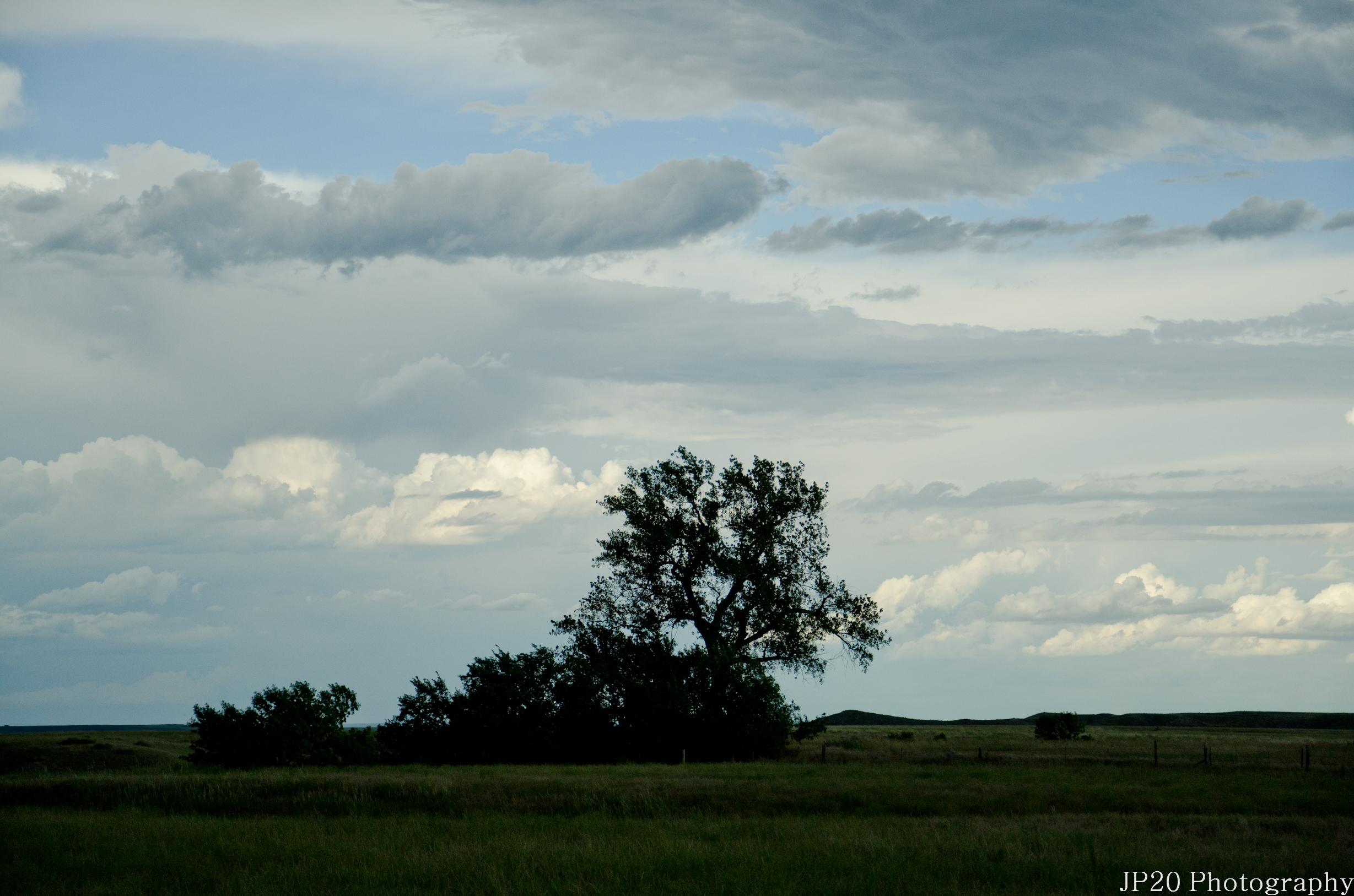
South Dakota and Wyoming-398
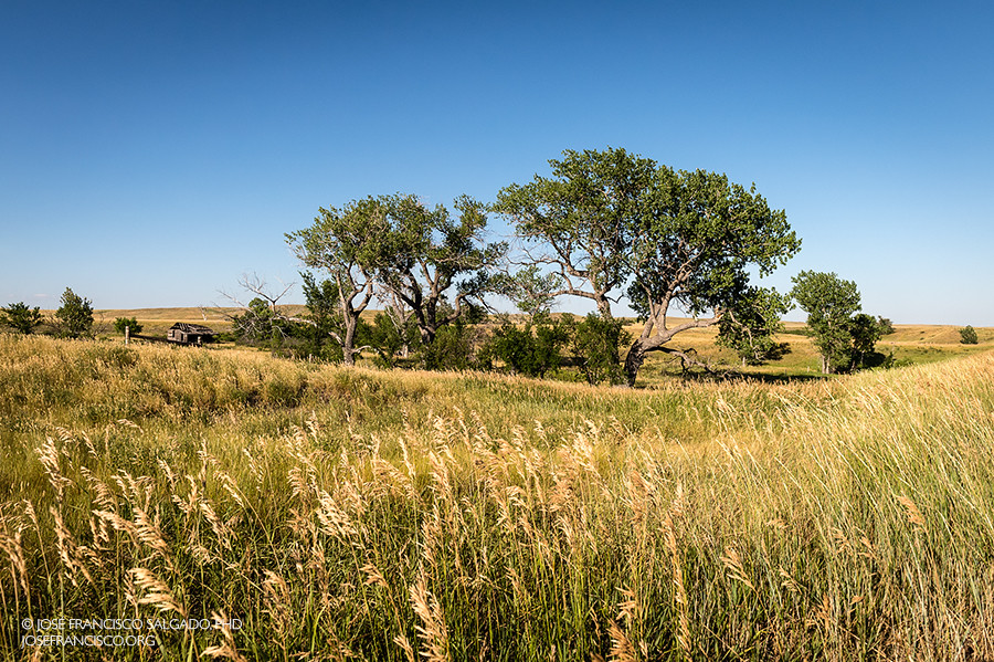
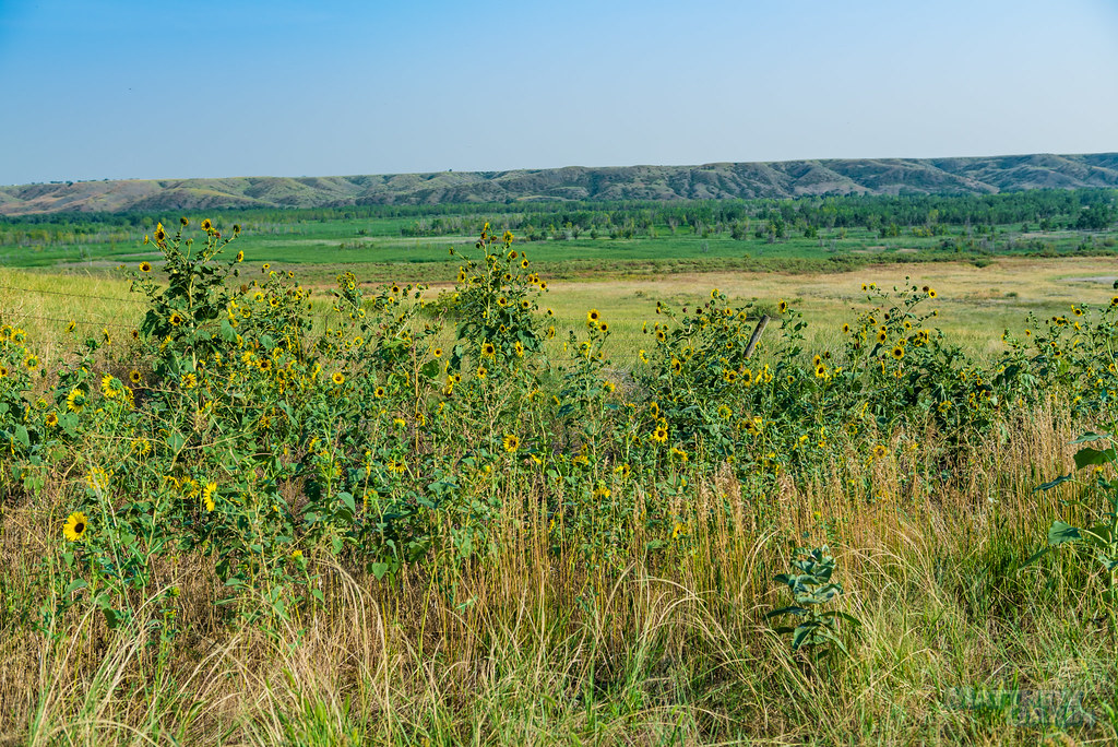
Pennington County Grasslands

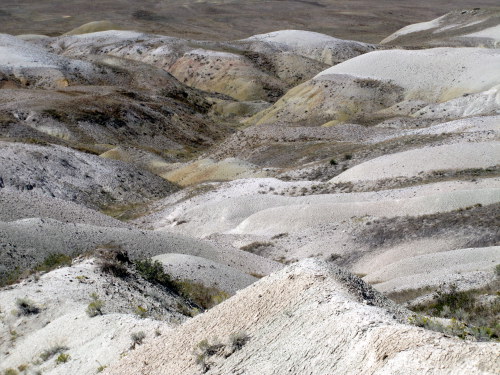
Badlands National Park, South Dakota, USA.
Shrieks and Secrets

2011-09-XX-South_Dakota-DSC_0037
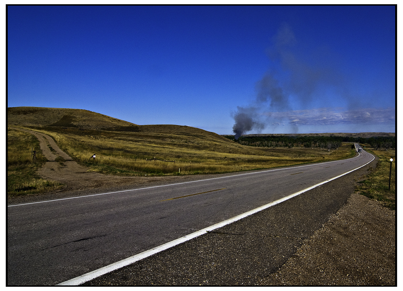
off a gravel road
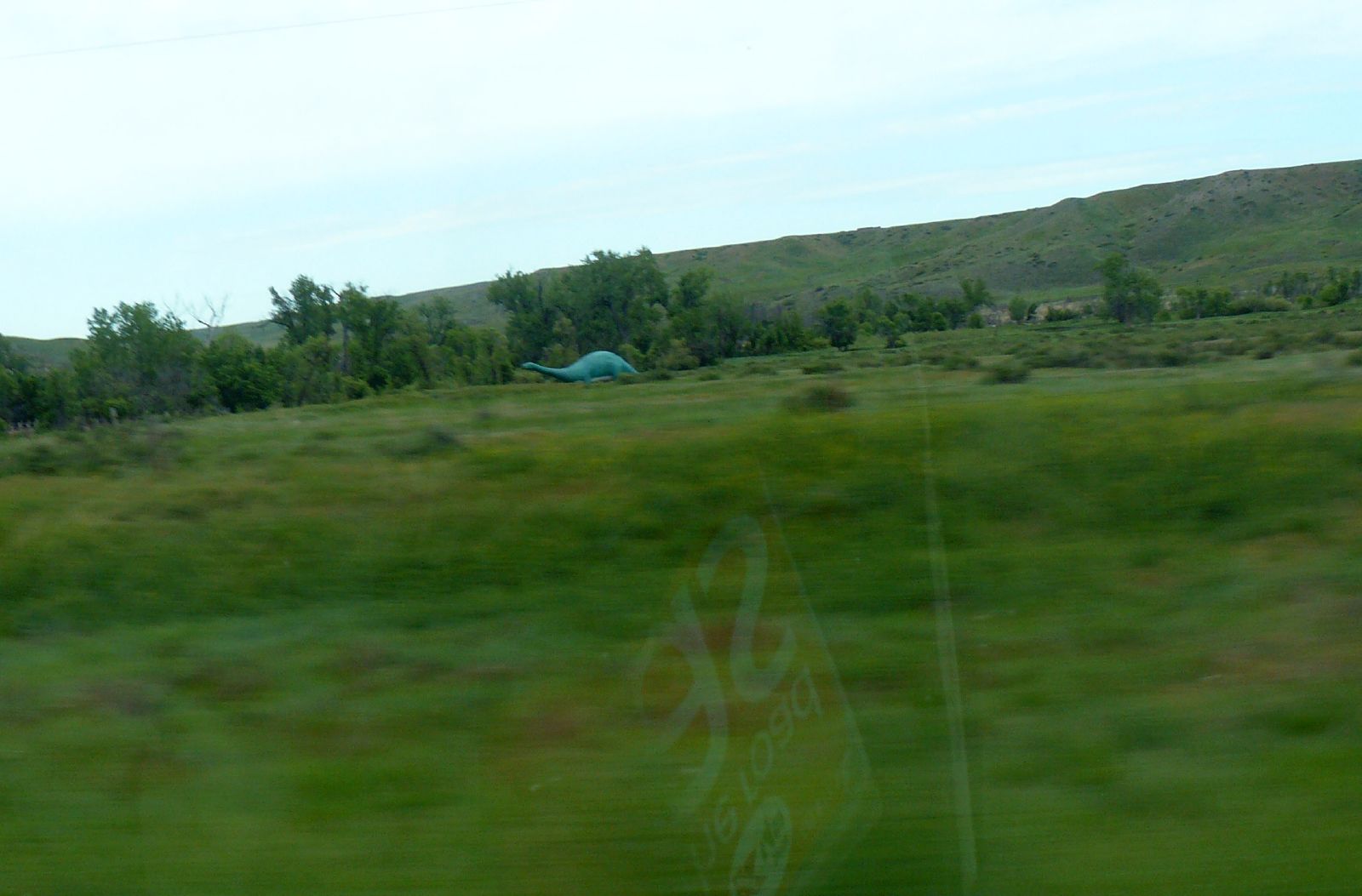
Mystery dinosaur
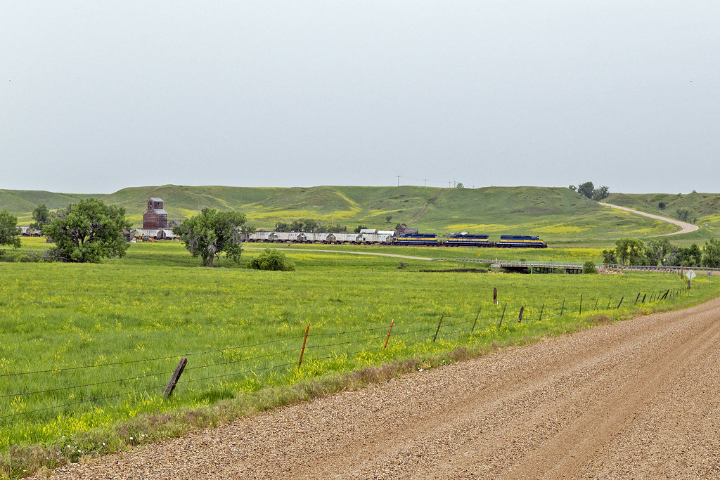
ICE 6211 - Owanka, SD
mgarin-5212
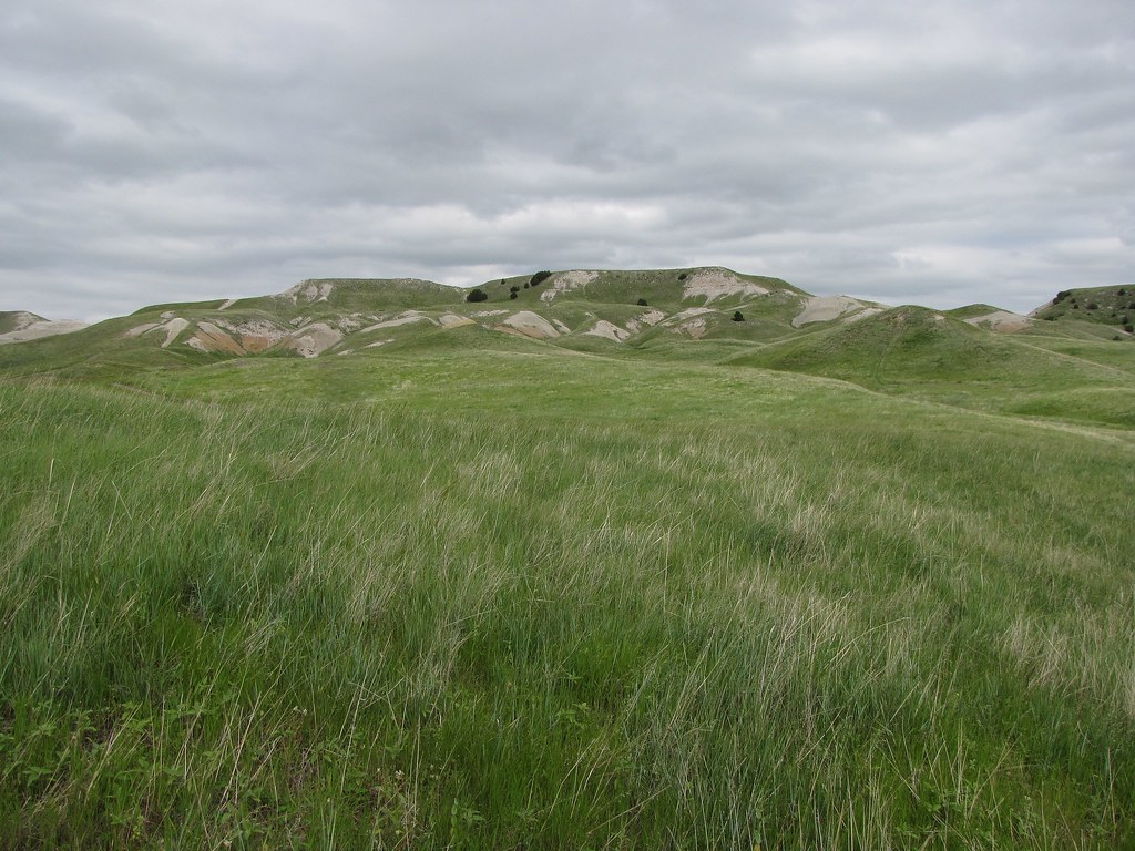
Badlands Borderlands
Topographic Map of East Central Pennington, SD, USA
Find elevation by address:

Places near East Central Pennington, SD, USA:
E Oak St, New Underwood, SD, USA
New Underwood
16681 227th St
Rapid City East
15849 Lower Spring Creek Rd
23367 Bradsky Rd
Red Shirt
Box Elder
Green Valley
6766 Green Willow Dr
313 Mule Deer Trail
5850 Green Tree Dr
5316 Greenwood Ln
Central Pennington
East Custer
East Custer
Sweetbriar St, Rapid City, SD, USA
Rapid Valley
Americas Way
333 Concourse Dr
Recent Searches:
- Elevation of Calais Dr, Del Mar, CA, USA
- Elevation of Placer Mine Ln, West Jordan, UT, USA
- Elevation of E 63rd St, New York, NY, USA
- Elevation of Elk City, OK, USA
- Elevation of Erika Dr, Windsor, CA, USA
- Elevation of Village Ln, Finleyville, PA, USA
- Elevation of 24 Oakland Rd #, Scotland, ON N0E 1R0, Canada
- Elevation of Deep Gap Farm Rd E, Mill Spring, NC, USA
- Elevation of Dog Leg Dr, Minden, NV, USA
- Elevation of Dog Leg Dr, Minden, NV, USA