Elevation of East Custer, SD, USA
Location: United States > South Dakota > Custer County >
Longitude: -103.08179
Latitude: 43.7219076
Elevation: 976m / 3202feet
Barometric Pressure: 90KPa
Elevation Map:
Satellite Map:
Related Photos:
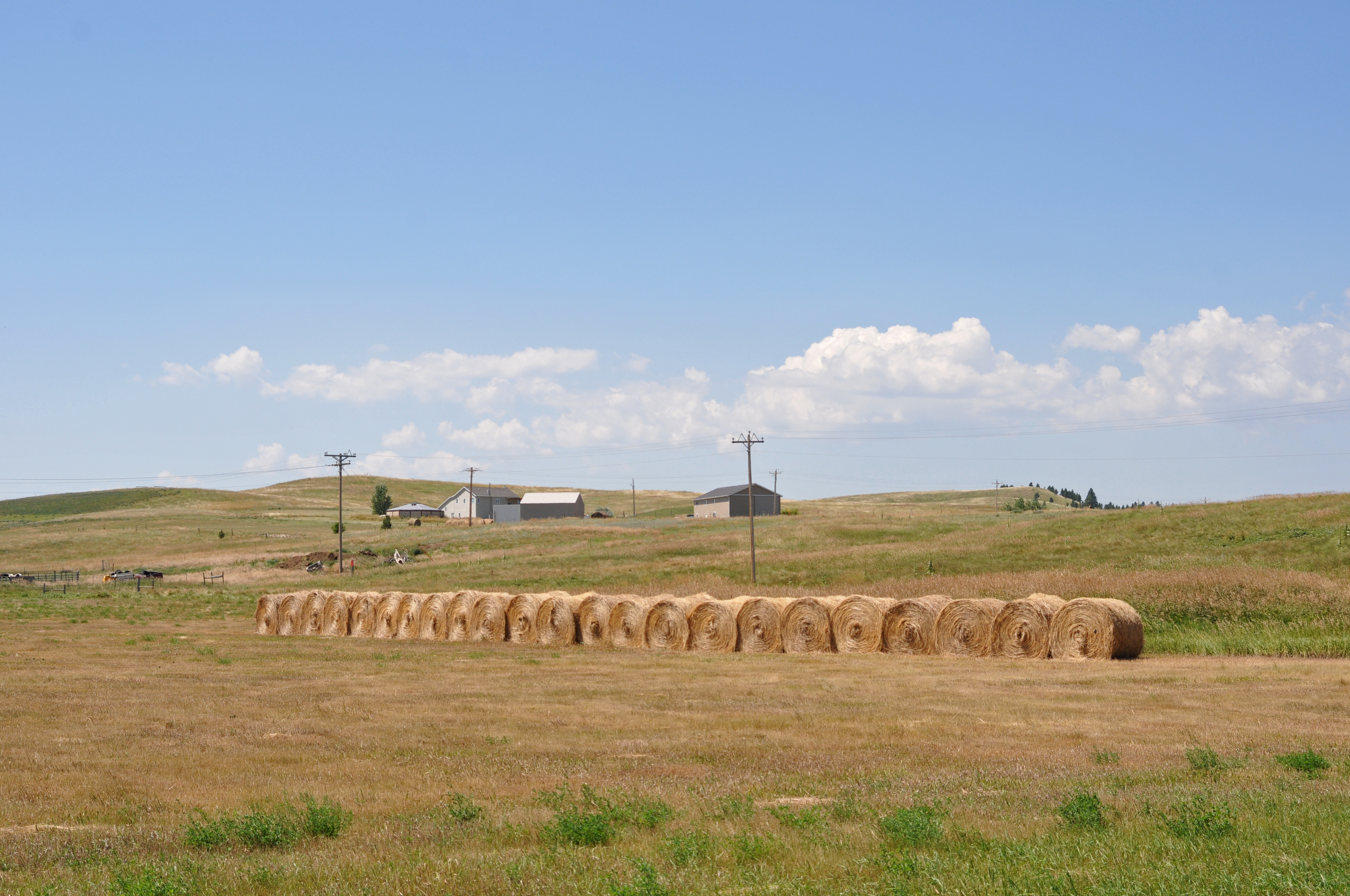
Somewhere between the Black Hills and Badlands
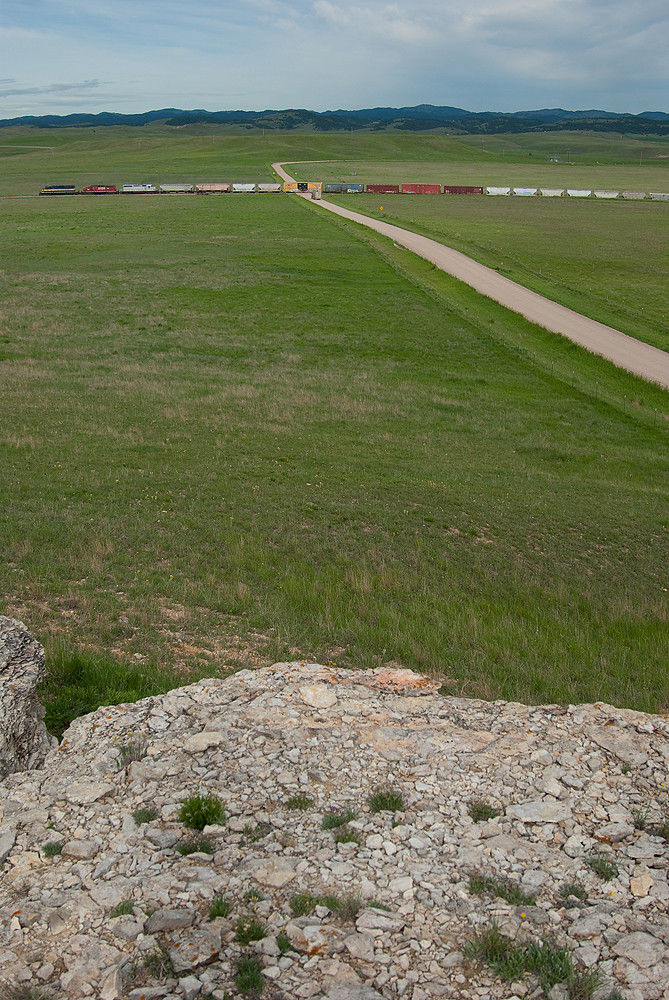
Them dark hills...
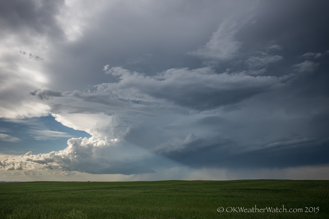
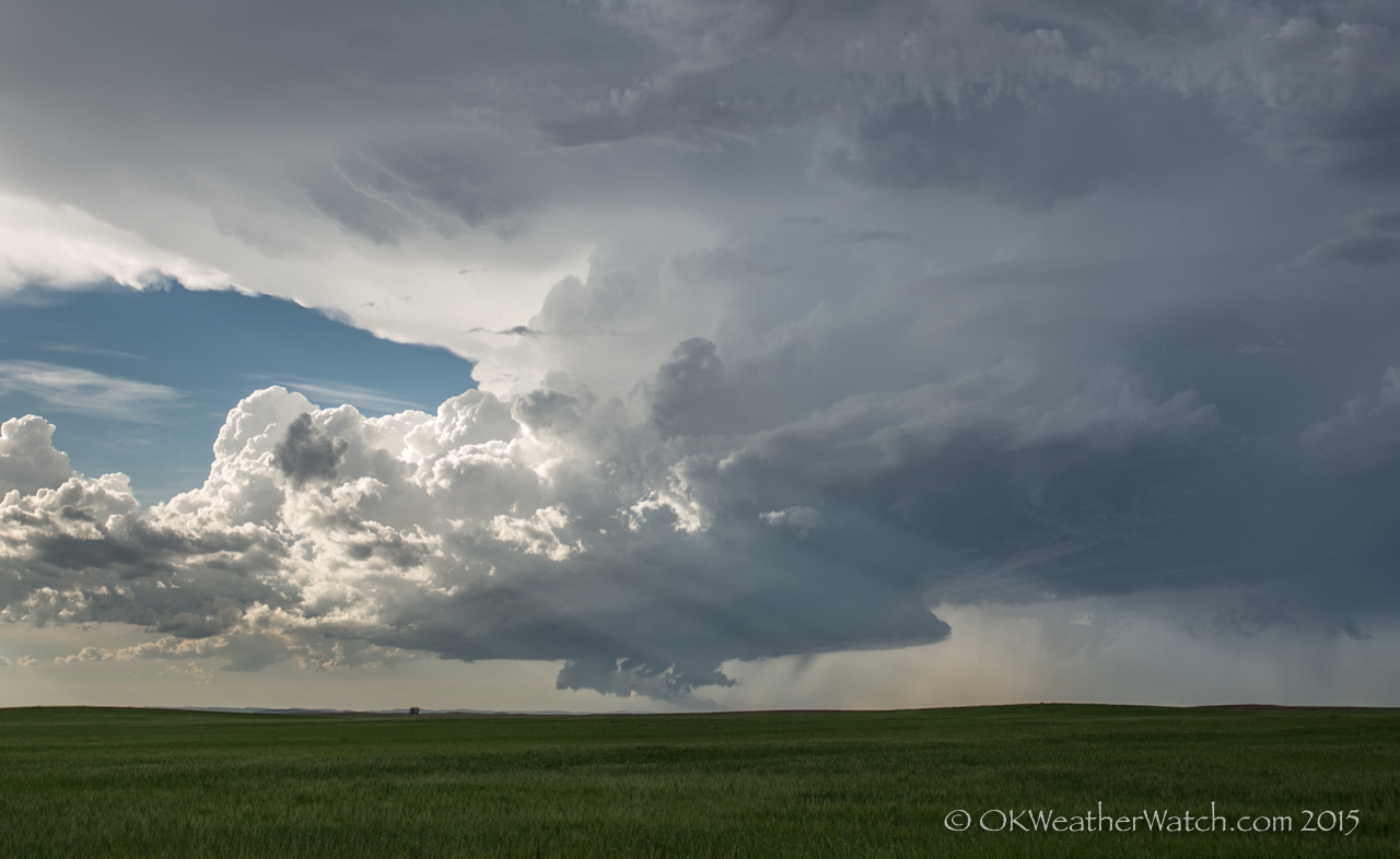
Rapid City supercell
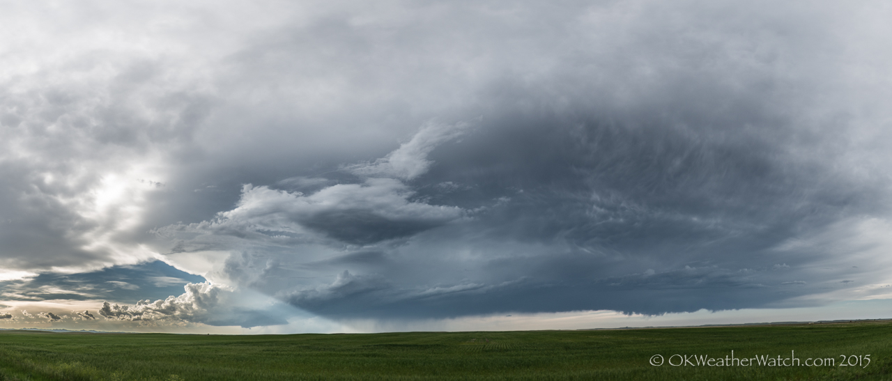
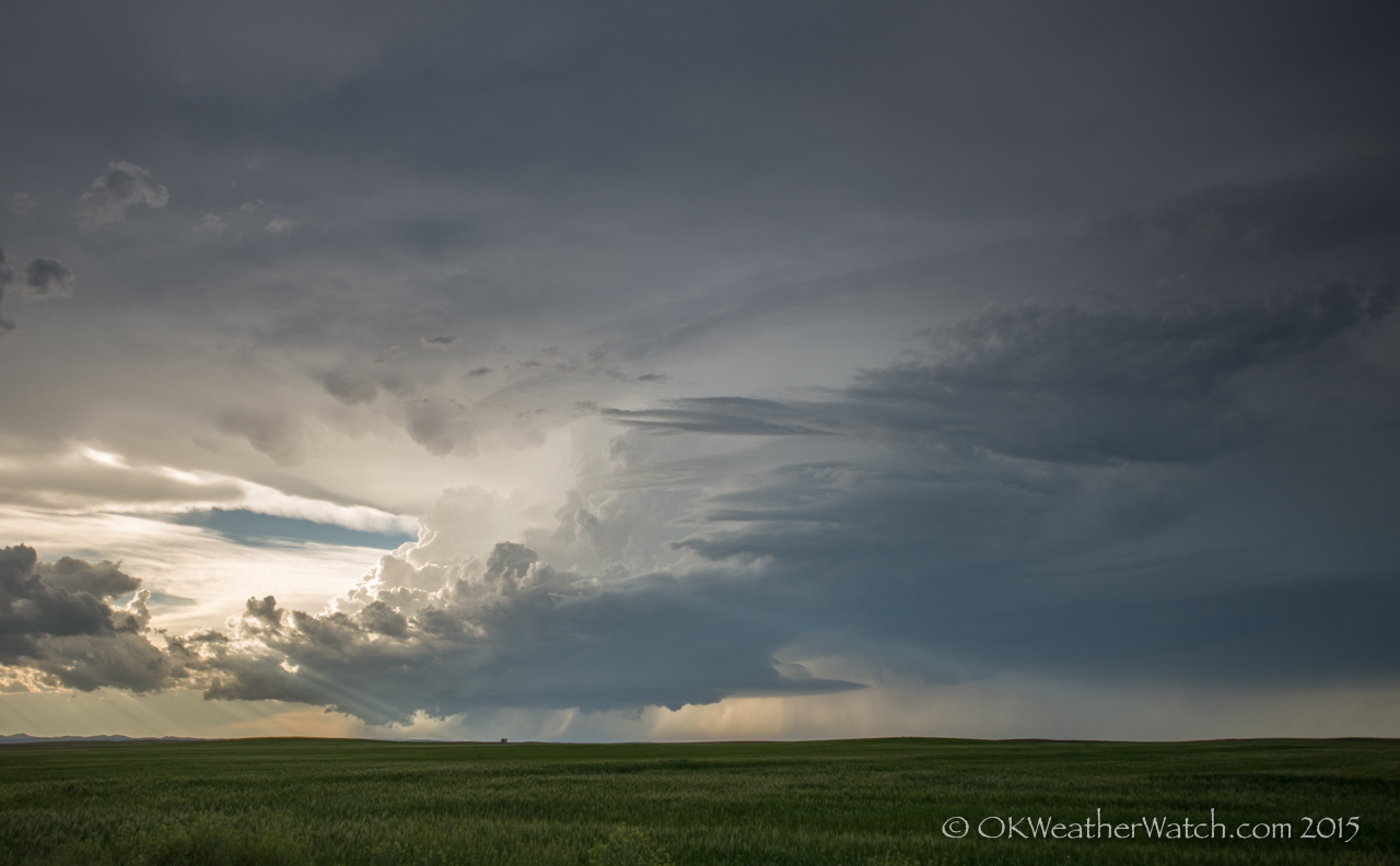
Rapid City supercell
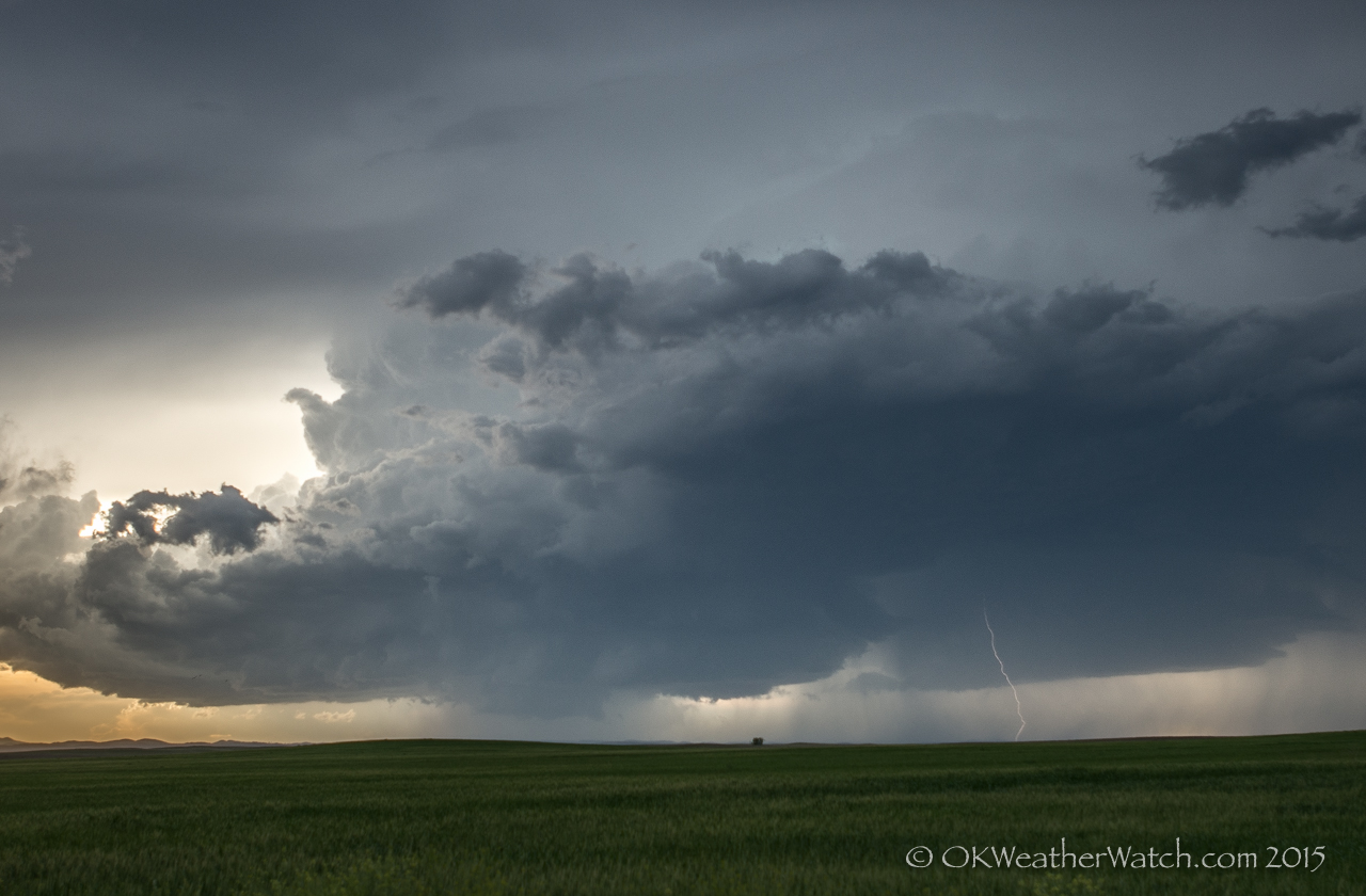
Rapid City supercell
Rapid City supercell
Rapid City supercell

Playing it close
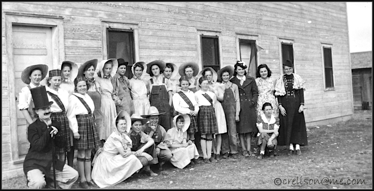
Fairburn South Dakota School - Girls Operetta 1939

Walter, Jessie, and Alfred Katsch with Hounds - South Dakota approx. 1900

Snidow and McFarland 052PM

Katsch Dale 076aPM
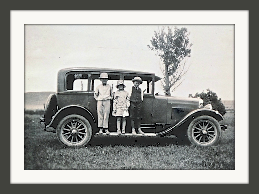
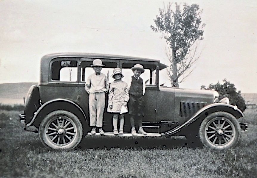
Scanned Photo From Charlotte Elison 1929
Katsch Family 013
Katsch Family 008
Katsch Family 004
Hermosa South Dakota
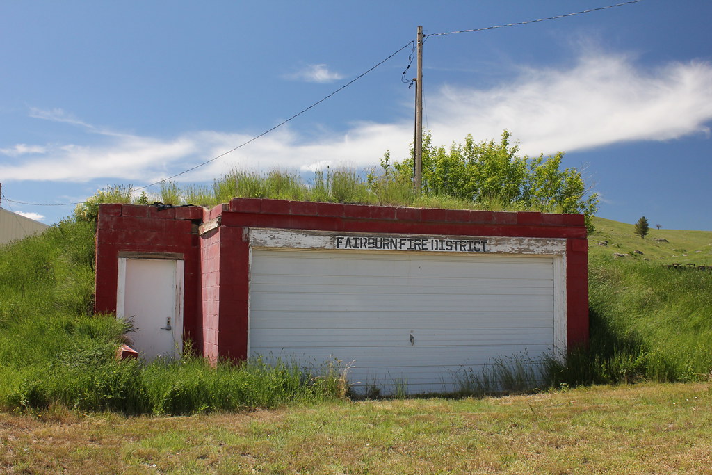
Fire Station (Former) - Fairburn, SD
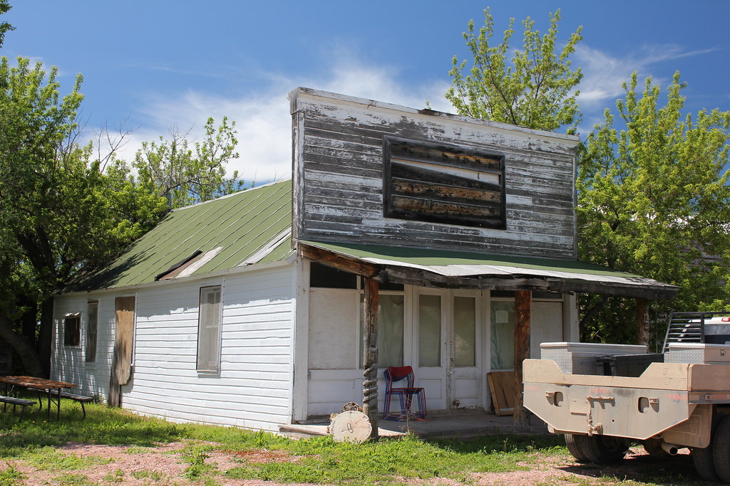
Storefront - Fairburn, SD
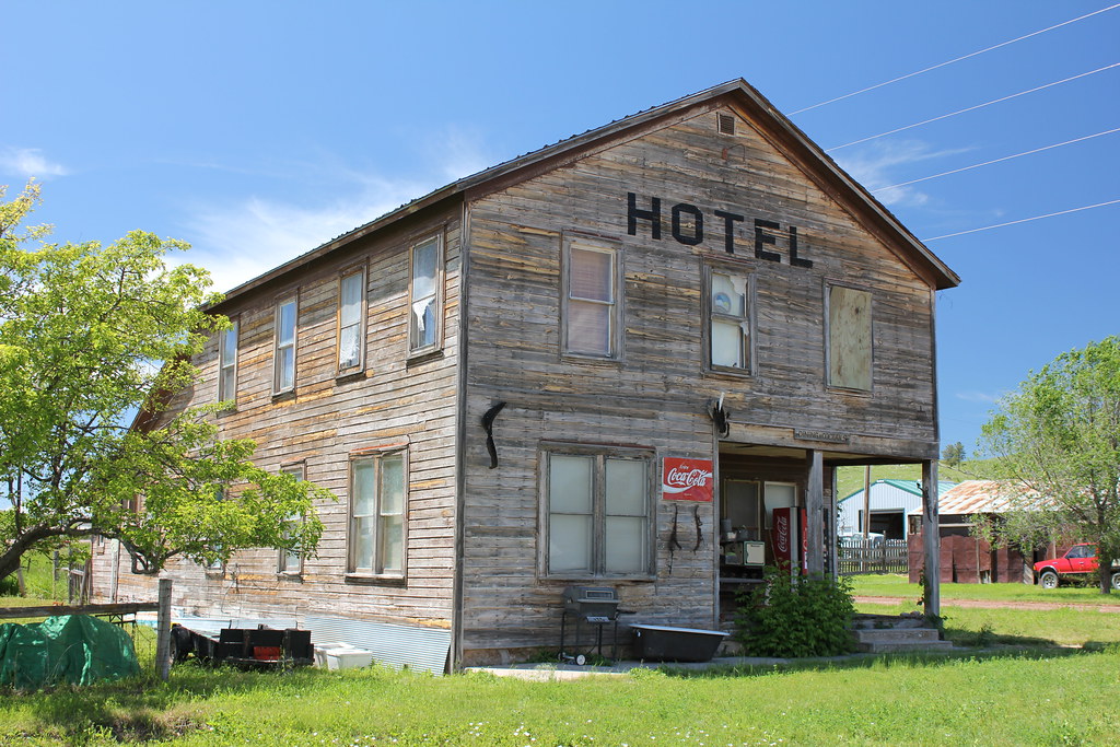
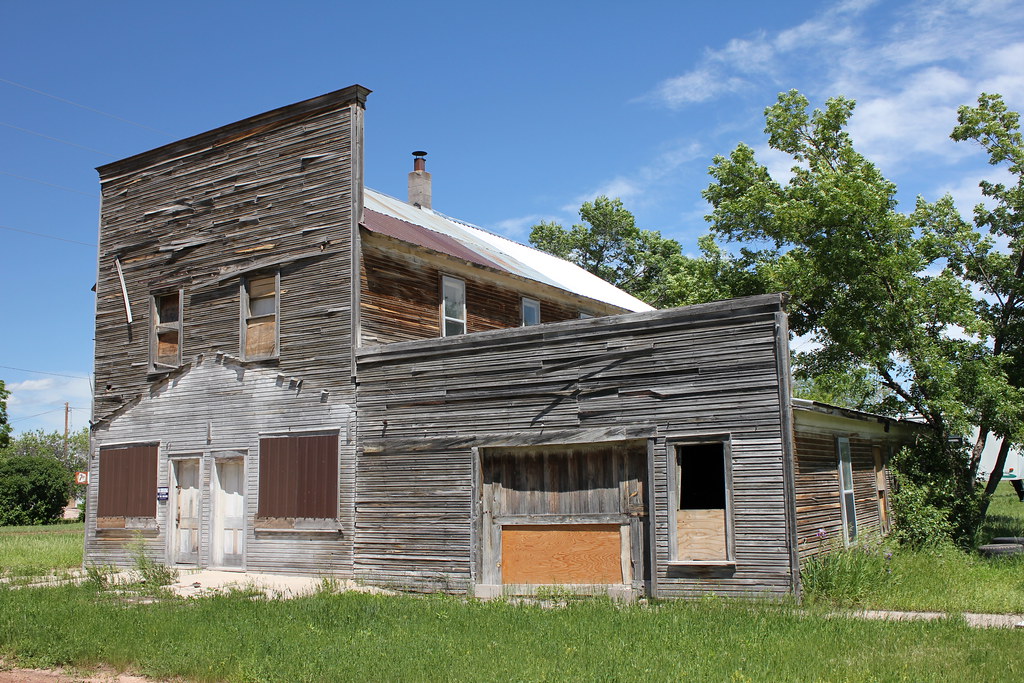
Hotel - Fairburn, SD
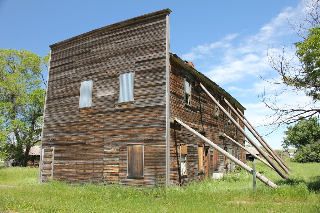
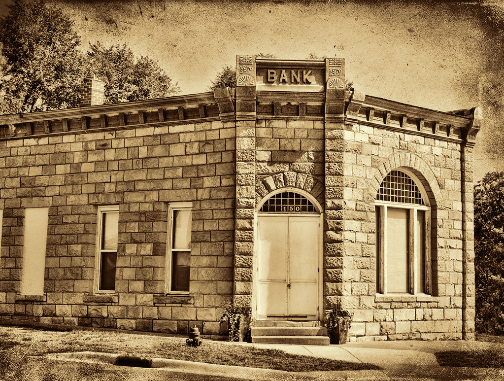
Downtown Building - Fairburn, SD
Downtown Building - Fairburn, SD
Topographic Map of East Custer, SD, USA
Find elevation by address:

Places in East Custer, SD, USA:
Places near East Custer, SD, USA:
East Custer
South Branch Drive Creek
Hermosa
South Dakota 40
15849 Lower Spring Creek Rd
Red Shirt
Ajax
13858 L H Rd
25941 Sd-79
L H Road
25411 Eagles Nest Dr
13781 Sage Brush Trail
13790 Sd-40
13737 Latigo Rd
24423 Granite Ct
13661 Sd-40
Custer State Park Visitor Center
13782 Ember Rd
Custer State Park Game Lodge Campground
23367 Bradsky Rd
Recent Searches:
- Elevation of Corso Fratelli Cairoli, 35, Macerata MC, Italy
- Elevation of Tallevast Rd, Sarasota, FL, USA
- Elevation of 4th St E, Sonoma, CA, USA
- Elevation of Black Hollow Rd, Pennsdale, PA, USA
- Elevation of Oakland Ave, Williamsport, PA, USA
- Elevation of Pedrógão Grande, Portugal
- Elevation of Klee Dr, Martinsburg, WV, USA
- Elevation of Via Roma, Pieranica CR, Italy
- Elevation of Tavkvetili Mountain, Georgia
- Elevation of Hartfords Bluff Cir, Mt Pleasant, SC, USA