Elevation of Dutton St, Cherry Valley, CA, USA
Location: United States > California > Riverside County > Cherry Valley >
Longitude: -116.95357
Latitude: 33.9745409
Elevation: 913m / 2995feet
Barometric Pressure: 91KPa
Elevation Map:
Satellite Map:
Related Photos:

ATK 714E @ El Casco

Sunset View 243

Live Oak Farms, Wagon 12-9-12

Sunset Valley I

View from Buff Rd LE

Only the Best

.

Big Falls Stream - Forest Falls, CA, USA
Sweet: Number 136.

Not Too Shabby

Valley View II

Big Falls Creek Long Exposure

Lake Perris, Surrounded by Hills and Mountains
.

1 of (7) LOWER Falls- Valley of Falls, Mill Creek Canyon, San Bernadino Mountains

Valley View

The Storms of Late Summer

Aerial view of the San Andreas Fault, Burro Flats, Riverside County, California

Shooting Spot in the Hills

135 View across the way of the upper Yucaipa Ridge on the Momyer Trail

Oak Glen Harvest Time 11-10-12

Beaumont, California

Jack Rabbit Trail Road
Jack Rabbit Storm

Spring Trail II

Apple Orchard Autumn, Oak Glen, CA 2019

Spring Trail

New Season
Crafton Hills hiking trails.

Little San Gorgonio Peak, Highway 38, California
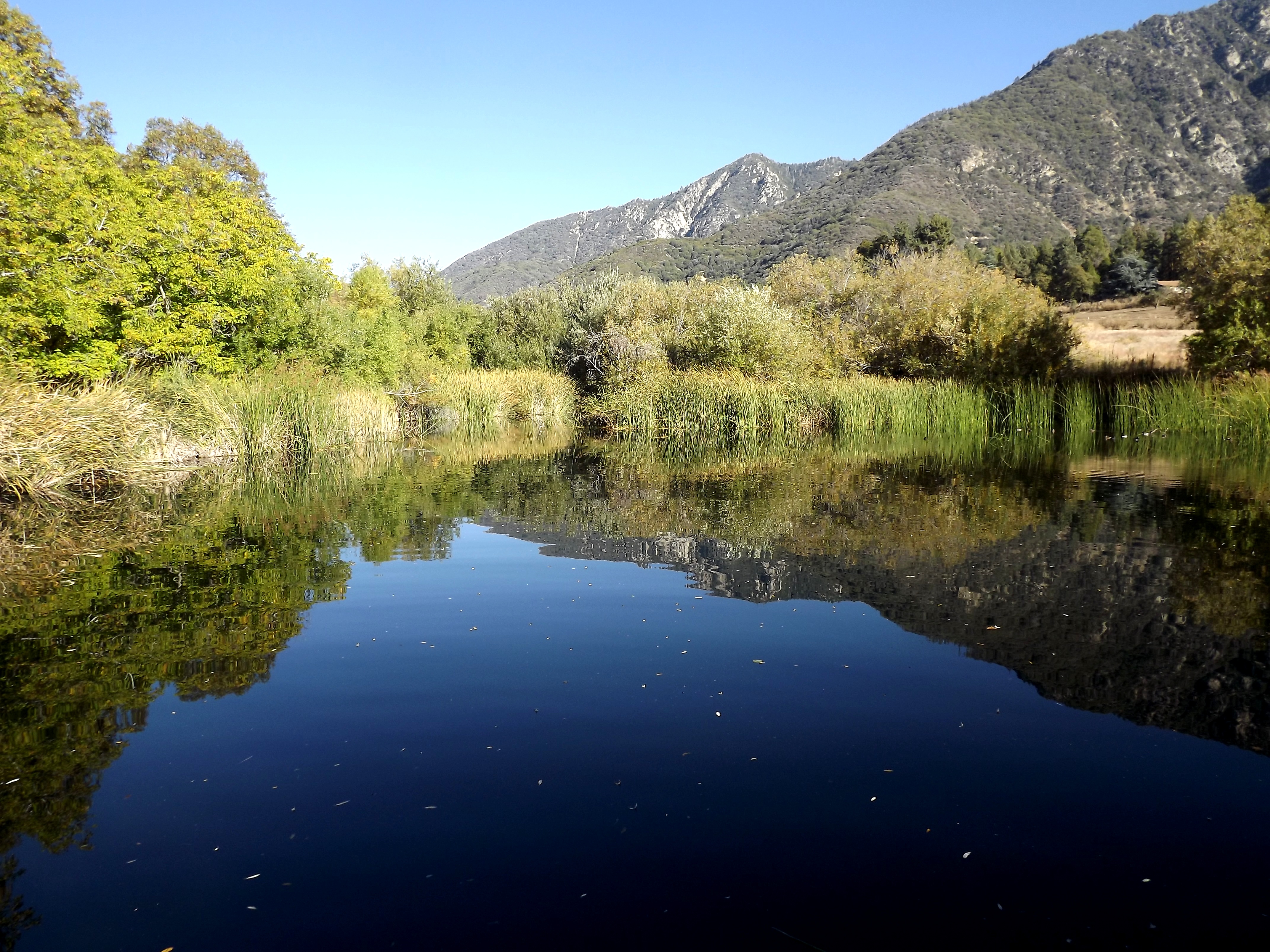
pond reflectin

Mill Creek Canyon

Lush Hills

Mill Creek Canyon

Mill Creek Canyon
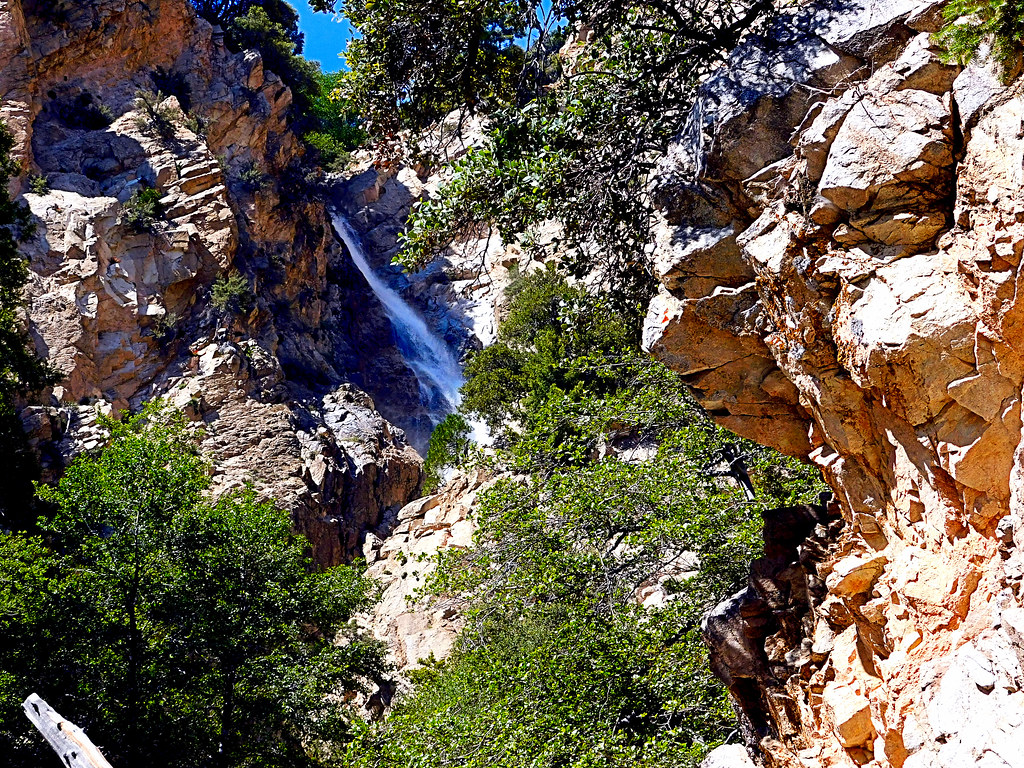
Upper Forest Falls

Little San Gorgonio Peak

Easter 2016

Snow Creek

Mill Creek Canyon
Topographic Map of Dutton St, Cherry Valley, CA, USA
Find elevation by address:

Places near Dutton St, Cherry Valley, CA, USA:
10640 Bel Air Dr
9446 Ave Altura Bella
10448 Chisholm Trail
Highland Springs Resort
41120 Ute Trail
39954 Cherry Valley Blvd
9314 Ave Altejo Bella
39870 High St
40957 Cypress Point Dr
39740 Ave Sonrisa
9089 Whispering Pines Rd
8760 Camino Del Norte
1723 Miranda Ln
Vineland St, Cherry Valley, CA, USA
Ruby Lane
Cherry Valley
Beaumont High School
9055 Bonita Dr
1425 Cherry Ave
1410 Oak Valley Pkwy
Recent Searches:
- Elevation of Congressional Dr, Stevensville, MD, USA
- Elevation of Bellview Rd, McLean, VA, USA
- Elevation of Stage Island Rd, Chatham, MA, USA
- Elevation of Shibuya Scramble Crossing, 21 Udagawacho, Shibuya City, Tokyo -, Japan
- Elevation of Jadagoniai, Kaunas District Municipality, Lithuania
- Elevation of Pagonija rock, Kranto 7-oji g. 8"N, Kaunas, Lithuania
- Elevation of Co Rd 87, Jamestown, CO, USA
- Elevation of Tenjo, Cundinamarca, Colombia
- Elevation of Côte-des-Neiges, Montreal, QC H4A 3J6, Canada
- Elevation of Bobcat Dr, Helena, MT, USA