Elevation of Beaumont High School, Cherry Valley Blvd, Beaumont, CA, USA
Location: United States > California > Riverside County > Cherry Valley >
Longitude: -116.98051
Latitude: 33.964555
Elevation: -10000m / -32808feet
Barometric Pressure: 295KPa
Elevation Map:
Satellite Map:
Related Photos:

Sunset Valley I

View from Buff Rd LE

Only the Best

Spring Valley

.

Day 347/365: I know I'm going where the sun always shines (explored #328 on June 8, 2009)

Red-tail 9070

Big Falls Stream - Forest Falls, CA, USA

Killdeer 2618
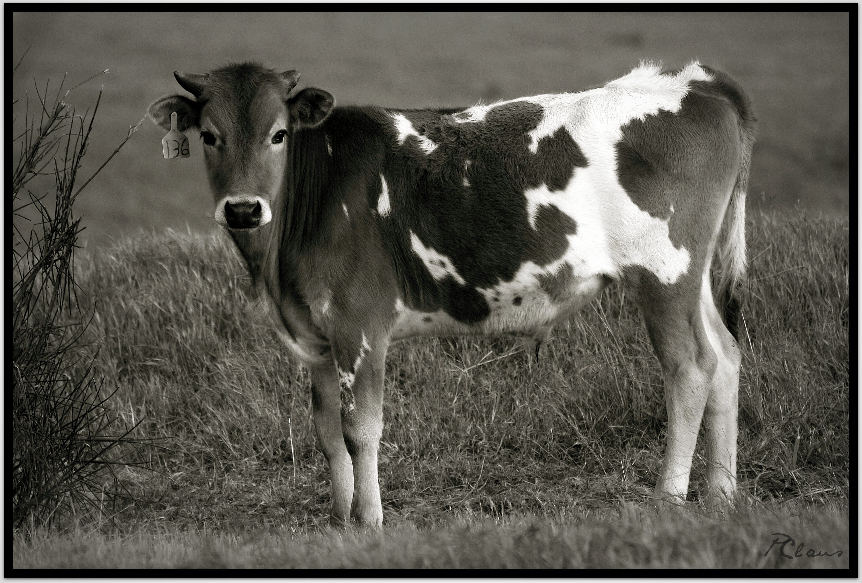
Sweet: Number 136.

ATK 714E @ El Casco

Not Too Shabby

Valley View II

Big Falls Creek Long Exposure

Lake Perris, Surrounded by Hills and Mountains
.

1 of (7) LOWER Falls- Valley of Falls, Mill Creek Canyon, San Bernadino Mountains

Valley View

Back From the Desert

Shooting Spot in the Hills

Aerial view of the San Andreas Fault, Burro Flats, Riverside County, California

Mill Creek Canyon

Lush Hills

Beaumont, California

Mill Creek Canyon

Little San Gorgonio Peak

Mill Creek Canyon

Storm Tree

Summer Splendor

Jack Rabbit Trail Road
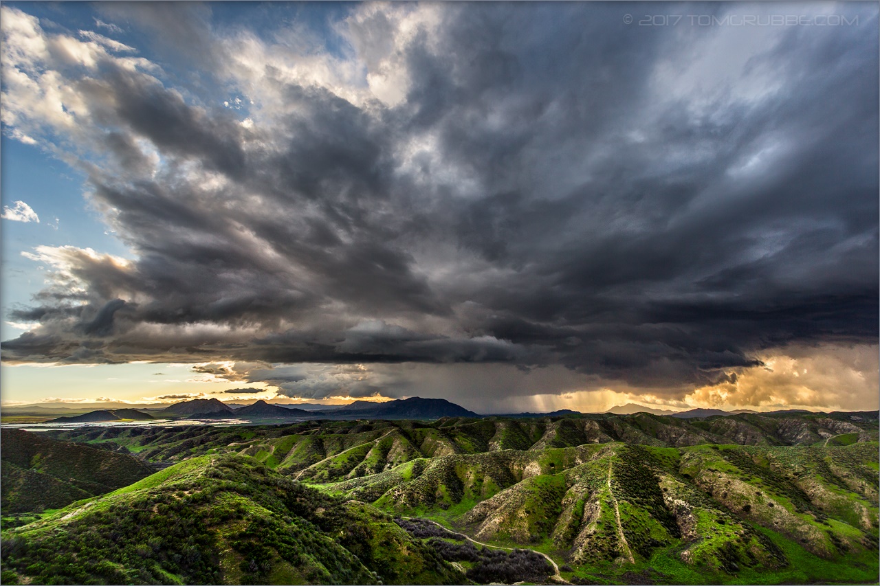
Jack Rabbit Storm

Mill Creek Canyon

Snow Creek

UP 7492

Twilight Pond

Lumonitious Landscape

Spring Trail II

Least Tern

Jeffrey Pine

Spring Valley Gorge
Topographic Map of Beaumont High School, Cherry Valley Blvd, Beaumont, CA, USA
Find elevation by address:

Places near Beaumont High School, Cherry Valley Blvd, Beaumont, CA, USA:
Cherry Valley
Vineland St, Cherry Valley, CA, USA
1723 Miranda Ln
779 Pine Ridge Cir
Stargazer Street
39870 High St
39954 Cherry Valley Blvd
1728 Sarazen St
39740 Ave Sonrisa
38813 Cherrystone Ave
1425 Cherry Ave
1010 Shelby St
1410 Oak Valley Pkwy
1382 Elizabeth Ave
Ruby Lane
9055 Bonita Dr
9314 Ave Altejo Bella
40626 Dutton St
9446 Ave Altura Bella
880 Hurstland Ave
Recent Searches:
- Elevation of Tenjo, Cundinamarca, Colombia
- Elevation of Côte-des-Neiges, Montreal, QC H4A 3J6, Canada
- Elevation of Bobcat Dr, Helena, MT, USA
- Elevation of Zu den Ihlowbergen, Althüttendorf, Germany
- Elevation of Badaber, Peshawar, Khyber Pakhtunkhwa, Pakistan
- Elevation of SE Heron Loop, Lincoln City, OR, USA
- Elevation of Slanický ostrov, 01 Námestovo, Slovakia
- Elevation of Spaceport America, Co Rd A, Truth or Consequences, NM, USA
- Elevation of Warwick, RI, USA
- Elevation of Fern Rd, Whitmore, CA, USA