Elevation of Cherry Valley Blvd, Cherry Valley, CA, USA
Location: United States > California > Riverside County > Cherry Valley >
Longitude: -116.96533
Latitude: 33.969461
Elevation: 870m / 2854feet
Barometric Pressure: 91KPa
Elevation Map:
Satellite Map:
Related Photos:

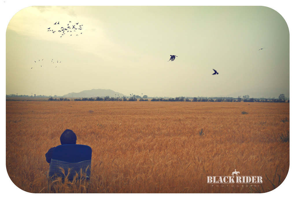
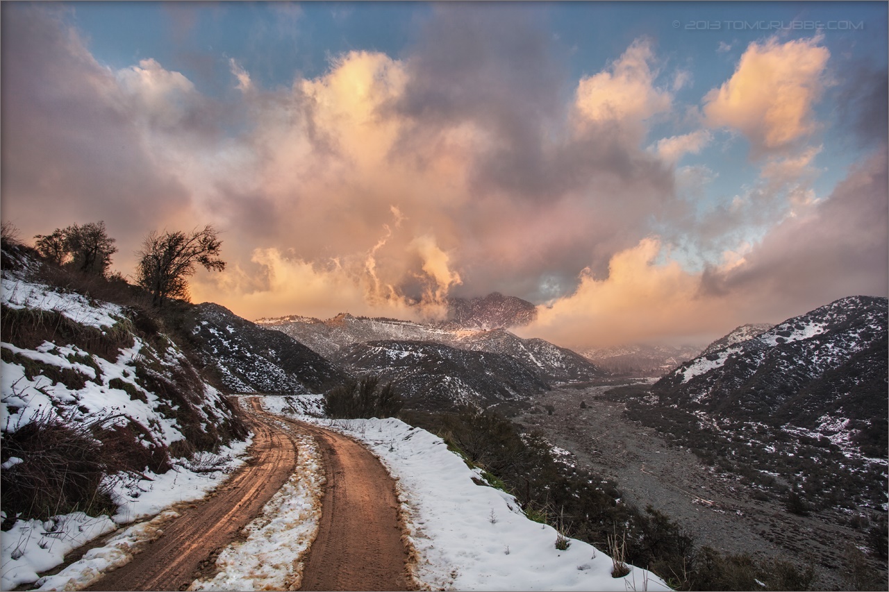
Sunset Valley I

Not Too Shabby
Day 347/365: I know I'm going where the sun always shines (explored #328 on June 8, 2009)

Winter Pond, Oak Glen, CA 1-19-13

Live Oak Farms, Wagon 12-9-12
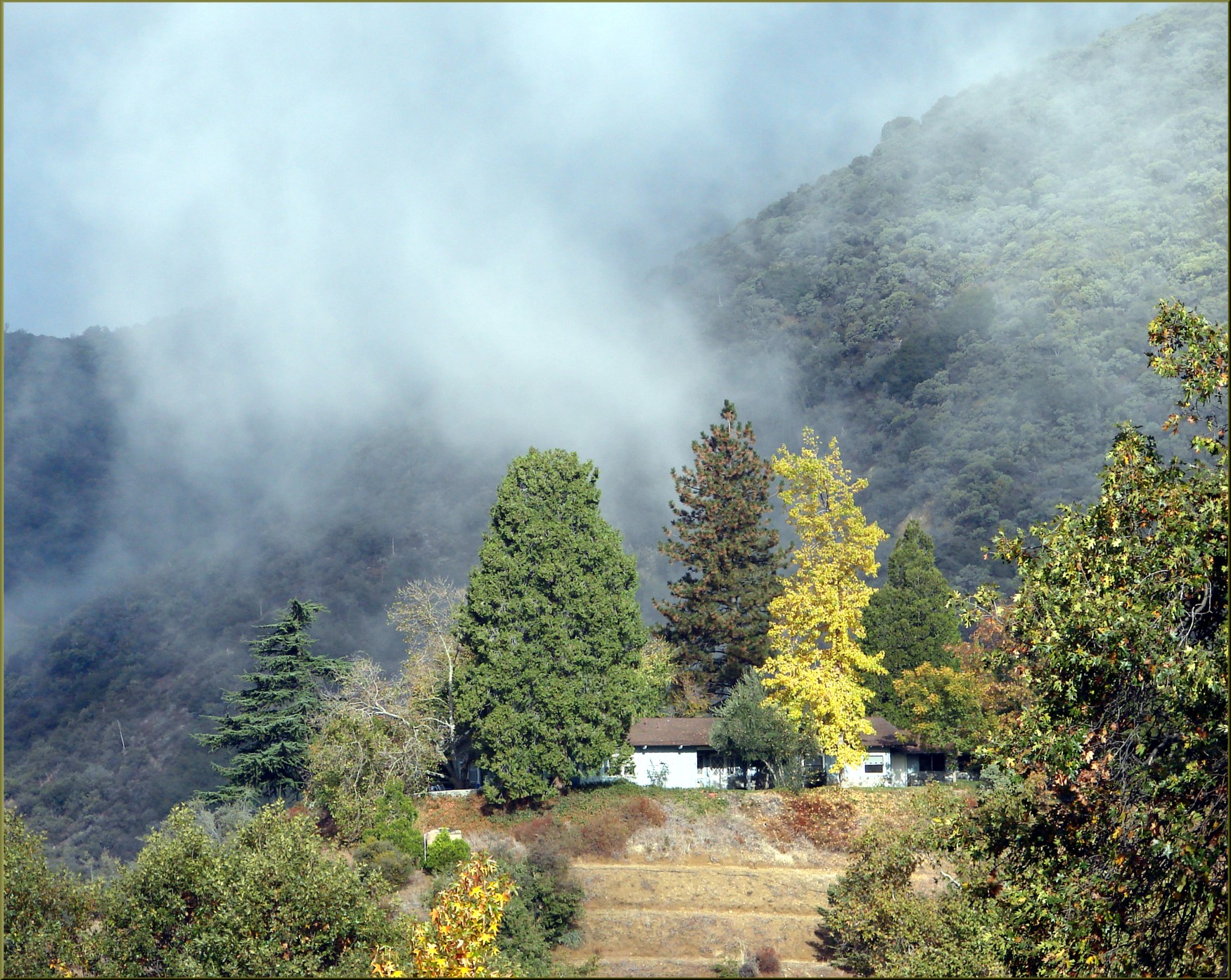
Valley View II

Shooting Spot in the Hills
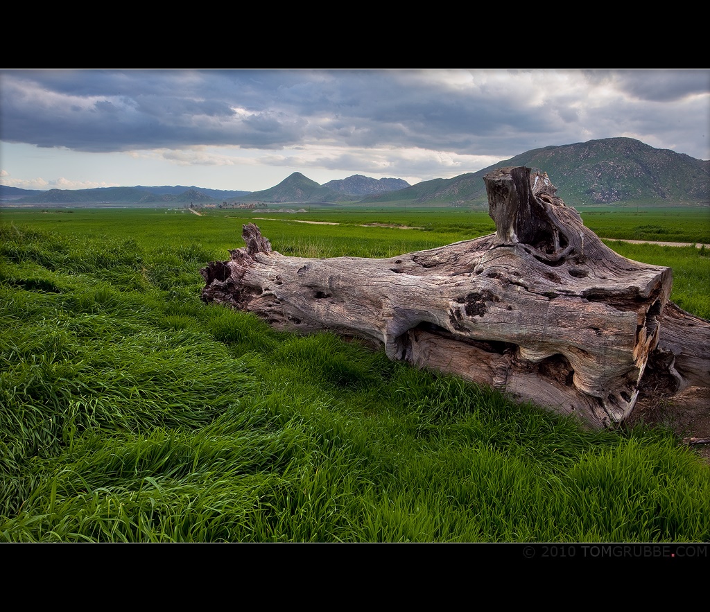
Log in the Grass
Sun on Oak Leaves, Oak Glen, CA 11-8-14
View from Buff Rd
Oak Glen Harvest Time 11-10-12
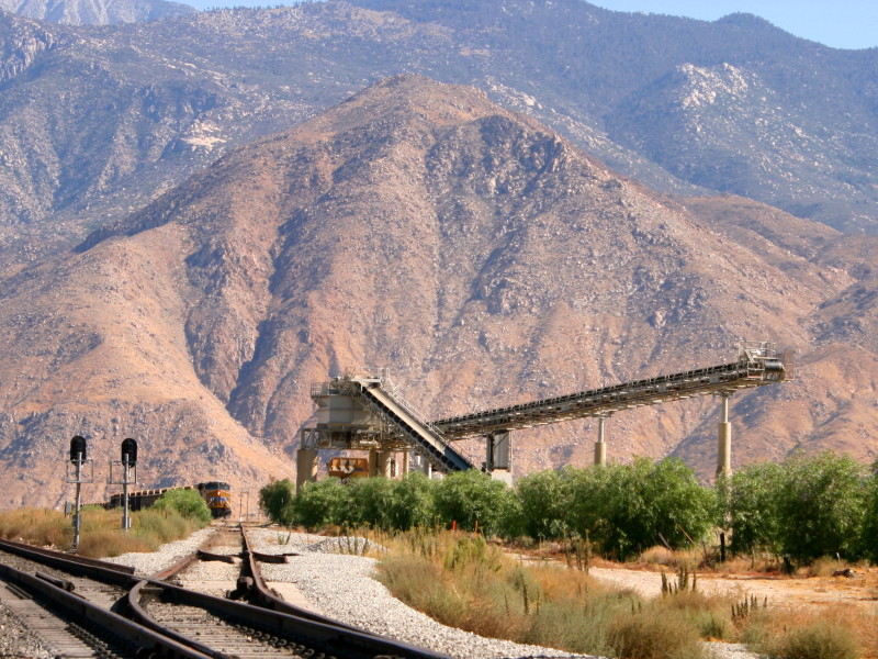
Open Pit Mine

View from Buff Rd LE

Big Falls Stream - Forest Falls, CA, USA

Valley View
.

ATK 714E @ El Casco
.

sunny rear view

Big Falls Creek Long Exposure

Bogart Park_0068

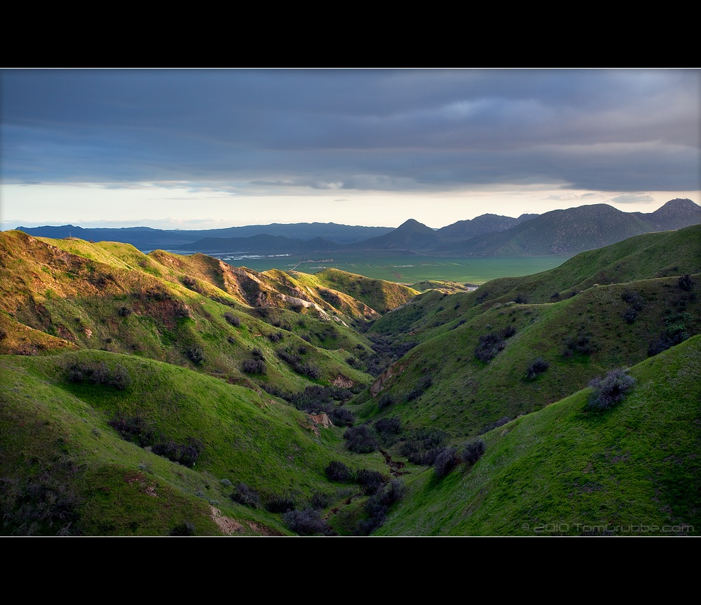
Hills from Jack Rabbit Trail

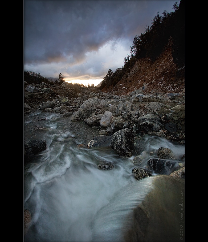
Twilight Rocks and Stream

Yucaipa/Mentone Fire

Feelings of Aqua

Spring Valley

Mill Creek and Storm III
Orange and Green - San Bernardino National Forest, CA, USA

Snow Creek
Earth and Grass

Mill Creek Storm Sunset
Apple Blossoms, Oak Glen, CA 4-12-14

Tree of Many Colors, Oak Glen, CA 11-13
Mill Creek and Storm II
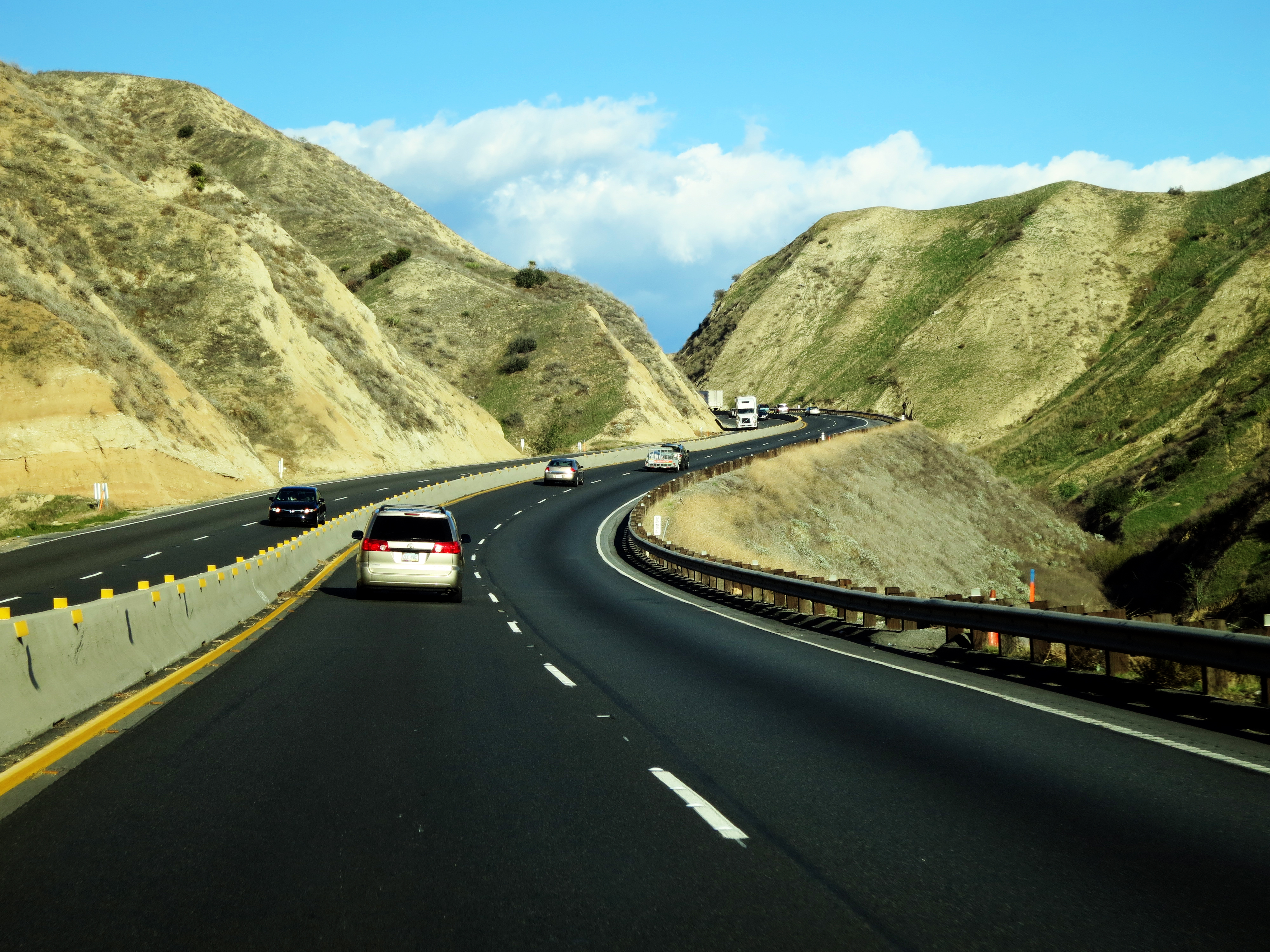
Driving Through Moreno Valley
Sunset Melody

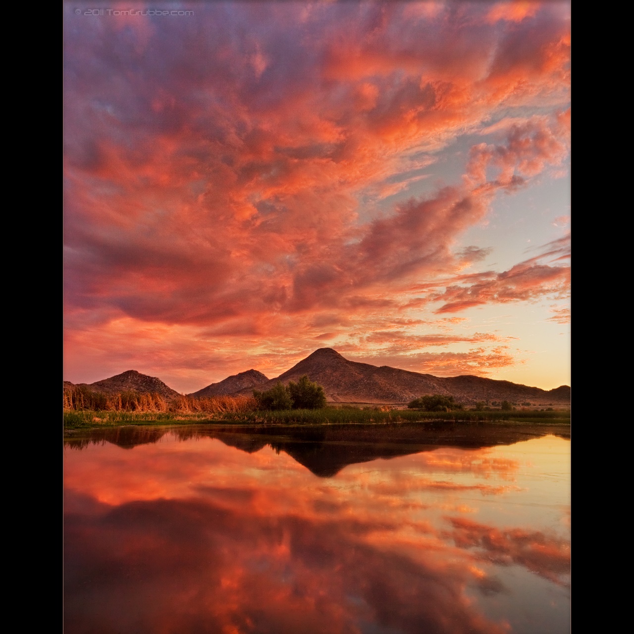
Sunset Valley II
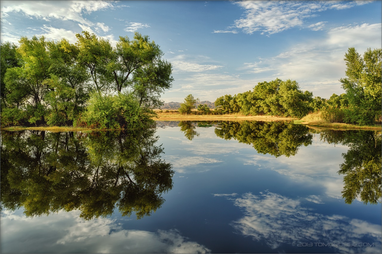
Summer Pond
Topographic Map of Cherry Valley Blvd, Cherry Valley, CA, USA
Find elevation by address:

Places near Cherry Valley Blvd, Cherry Valley, CA, USA:
39870 High St
39740 Ave Sonrisa
1723 Miranda Ln
Vineland St, Cherry Valley, CA, USA
Cherry Valley
40626 Dutton St
Beaumont High School
9446 Ave Altura Bella
9314 Ave Altejo Bella
10640 Bel Air Dr
Ruby Lane
40957 Cypress Point Dr
Highland Springs Resort
9089 Whispering Pines Rd
1425 Cherry Ave
10448 Chisholm Trail
1410 Oak Valley Pkwy
1382 Elizabeth Ave
1010 Shelby St
38813 Cherrystone Ave
Recent Searches:
- Elevation of Congressional Dr, Stevensville, MD, USA
- Elevation of Bellview Rd, McLean, VA, USA
- Elevation of Stage Island Rd, Chatham, MA, USA
- Elevation of Shibuya Scramble Crossing, 21 Udagawacho, Shibuya City, Tokyo -, Japan
- Elevation of Jadagoniai, Kaunas District Municipality, Lithuania
- Elevation of Pagonija rock, Kranto 7-oji g. 8"N, Kaunas, Lithuania
- Elevation of Co Rd 87, Jamestown, CO, USA
- Elevation of Tenjo, Cundinamarca, Colombia
- Elevation of Côte-des-Neiges, Montreal, QC H4A 3J6, Canada
- Elevation of Bobcat Dr, Helena, MT, USA