Elevation of Dungannon, ON N0M, Canada
Location: Canada > Ontario > Huron County > Ashfield-colborne-wawanosh >
Longitude: -81.599614
Latitude: 43.854443
Elevation: 265m / 869feet
Barometric Pressure: 98KPa
Elevation Map:
Satellite Map:
Related Photos:
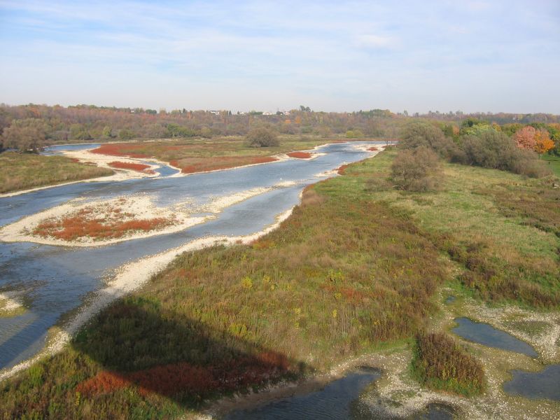
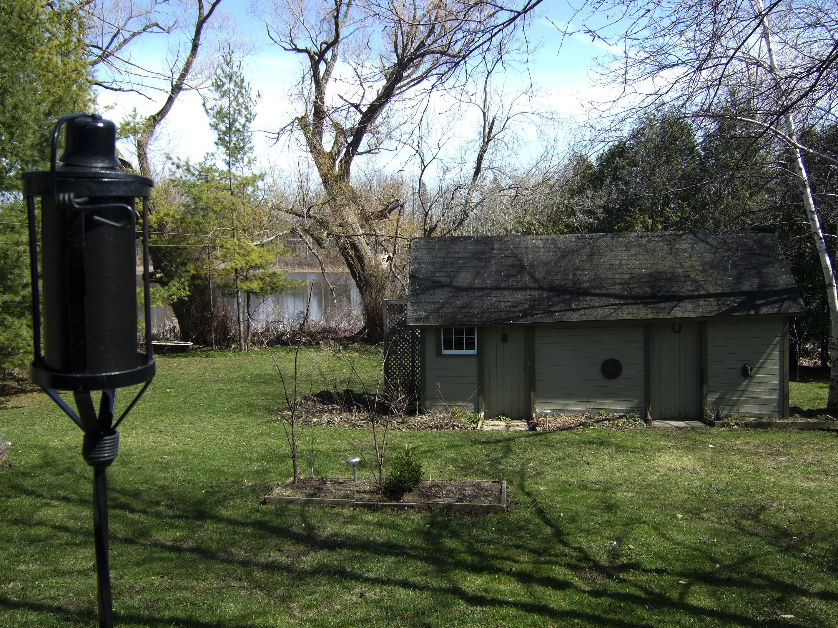
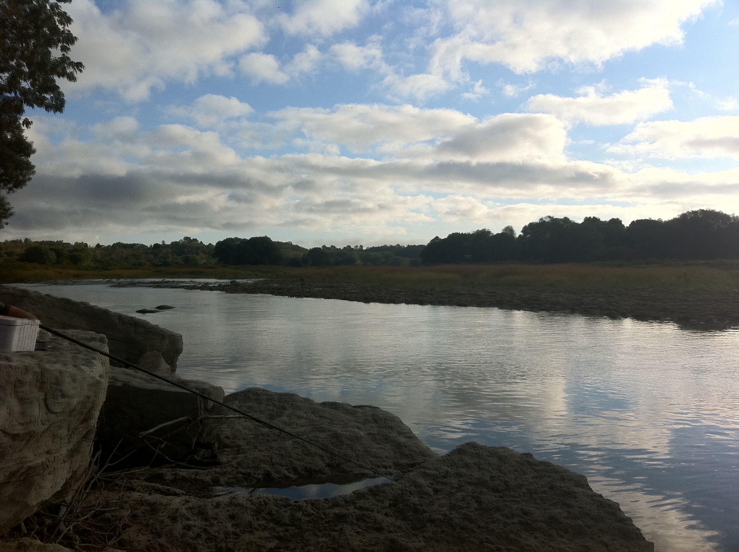
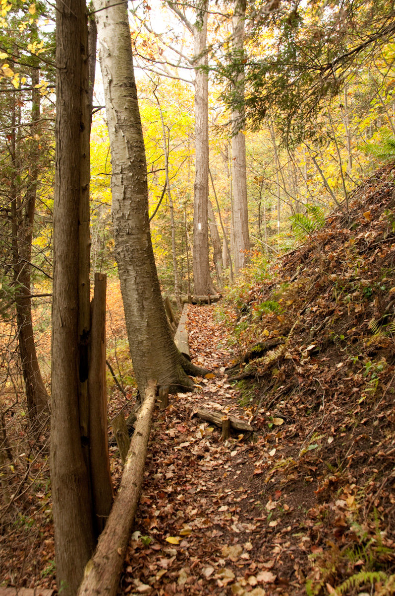
View From Trail Bridge

Lake Huron in Winter 1
Coming into View
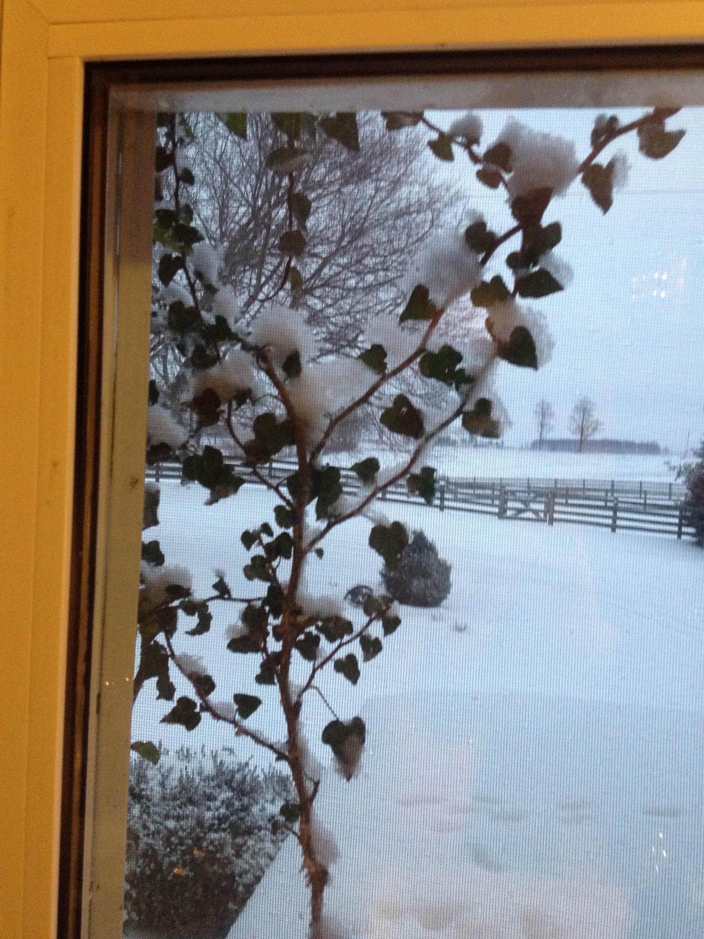
Day 18: View through the kitchen window

The View from Inside
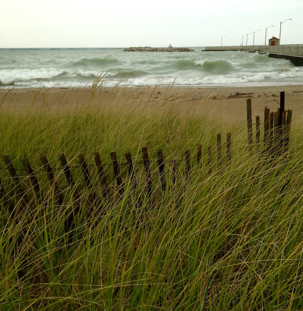
Goderich Beach

Goderich Grain Elevators #3
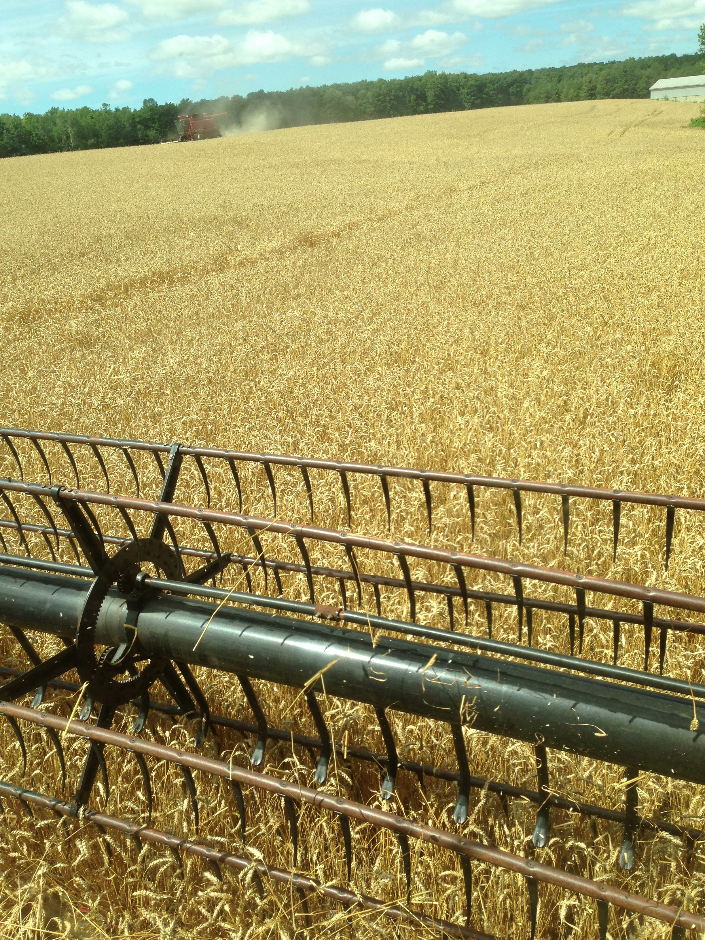
Day 205: View from my combine as the wheat harvest begins.
another enhanced view
View From Trail Bridge

Maitland River Clouds

Day 299: View from my front porch
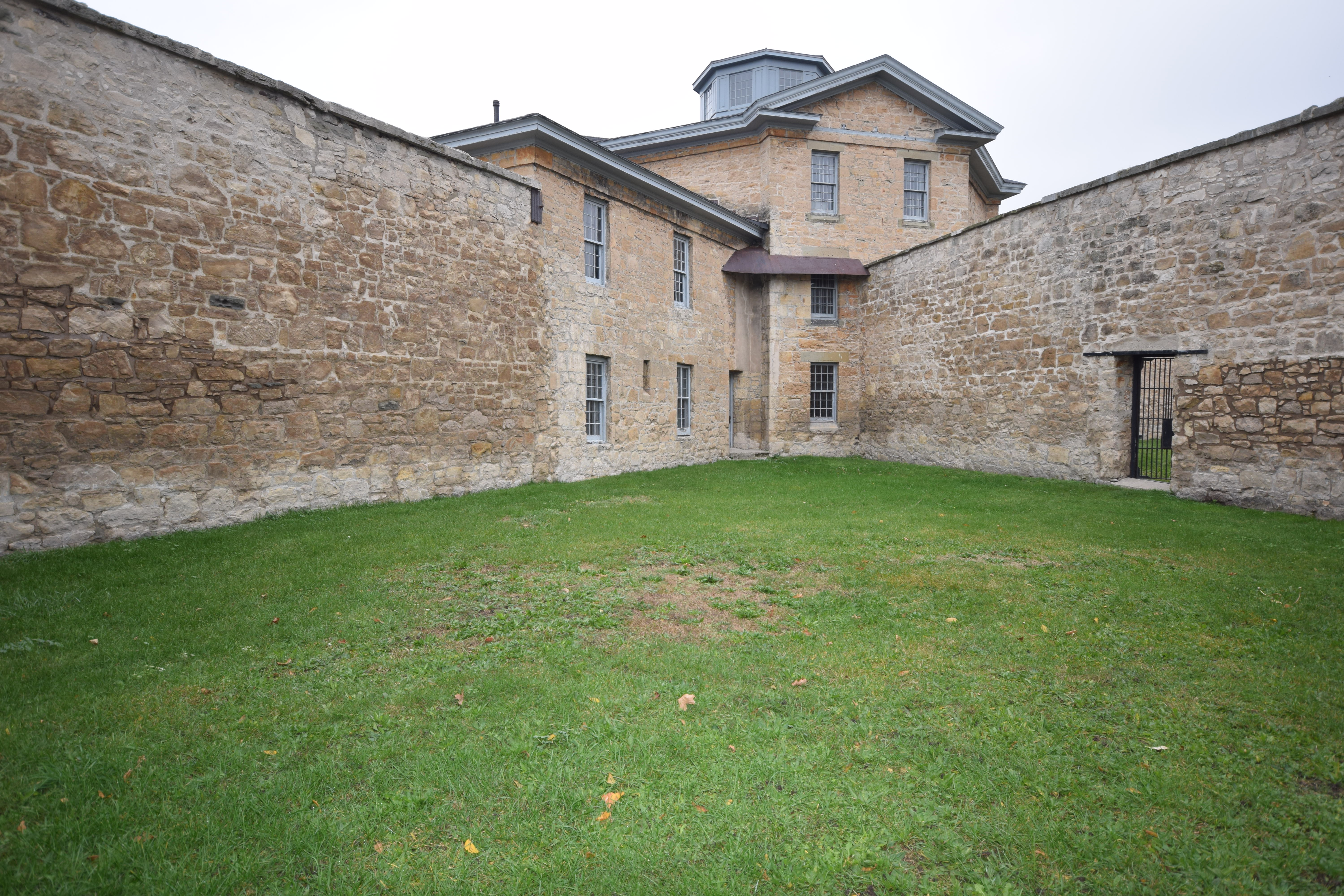
Jail Courtyard
Goderich, Ontario

Benmiller River Mill.jpg
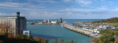
Overlooking Harbour

Harbour Park Rain
Lakeshore Panorama
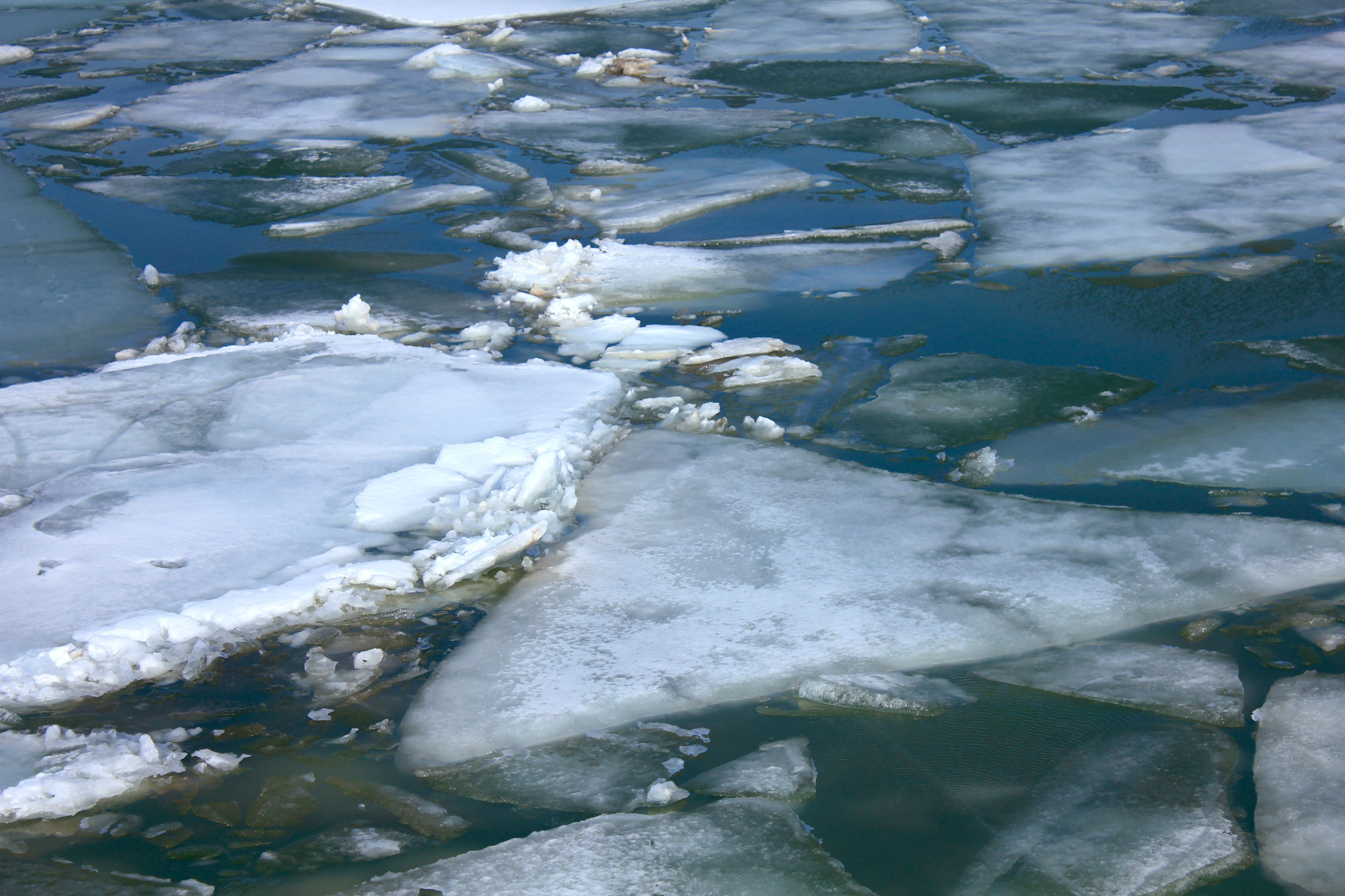
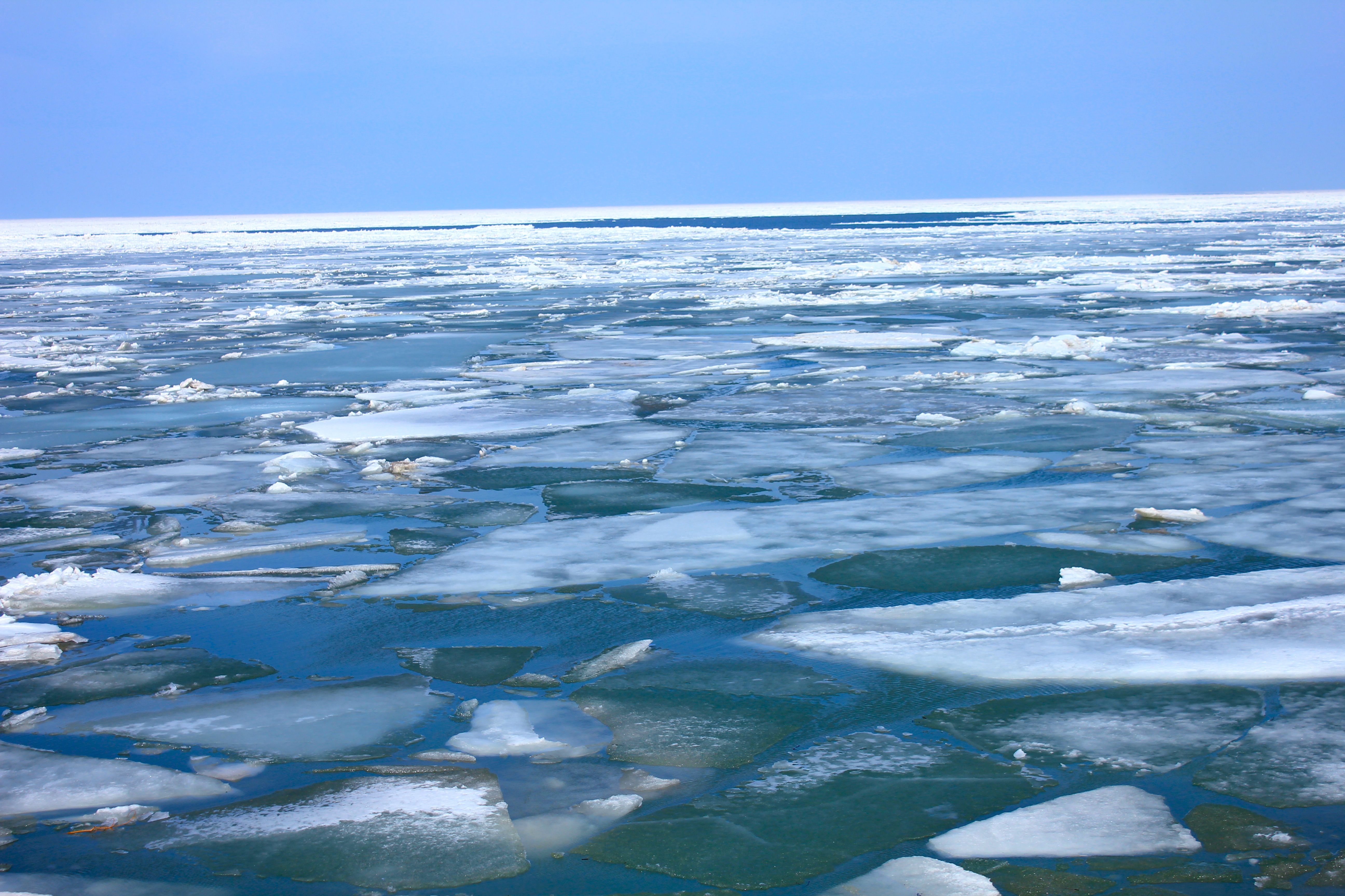
enhanced view of ice chunks on lake huron

Day 74: You Won't Believe Who Called Into the East Street Station
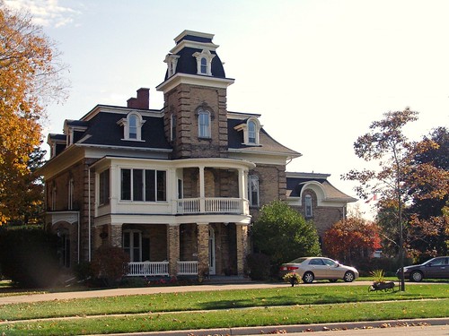
The house in the country
Goderich fence

Salt Mine - Goderich - Ontario - Canada

August 21, 2011

Looking west towards Londesboro, ON Canada

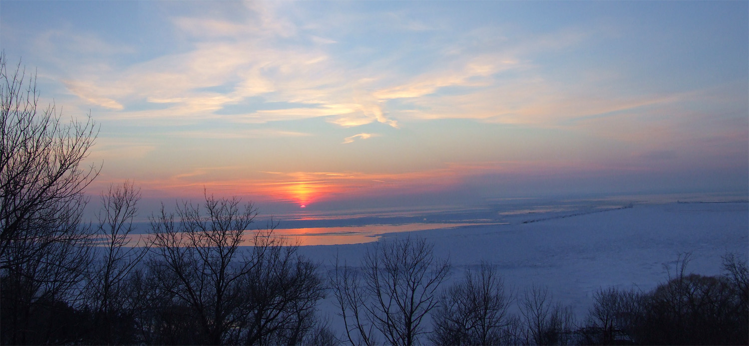
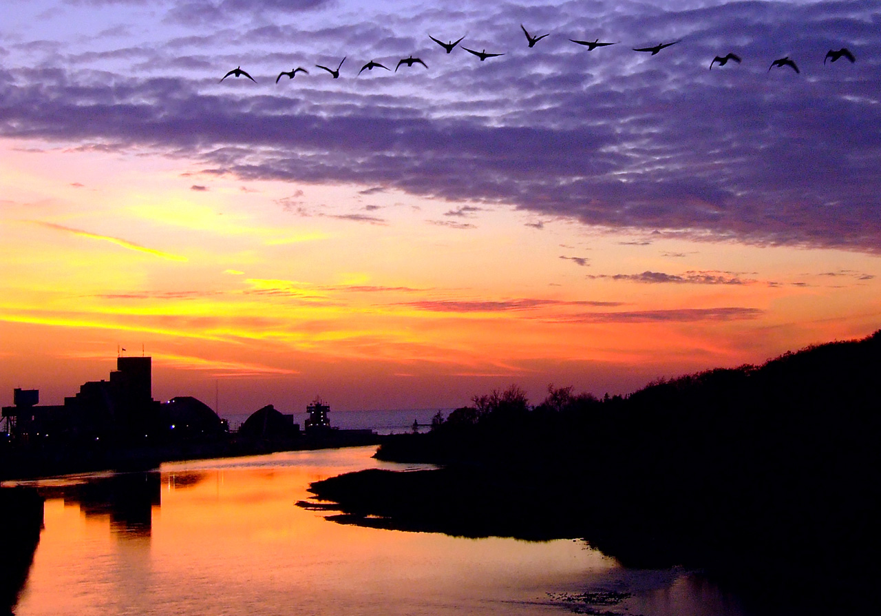
Goderich Port After Sunset
Maitland 2
On the way home last evening from Londesboro, ON Canada, Sept. 4-09-10
Fish Skeleton Hanging at Beach
Benmiller Falls 1
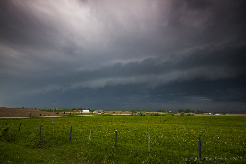
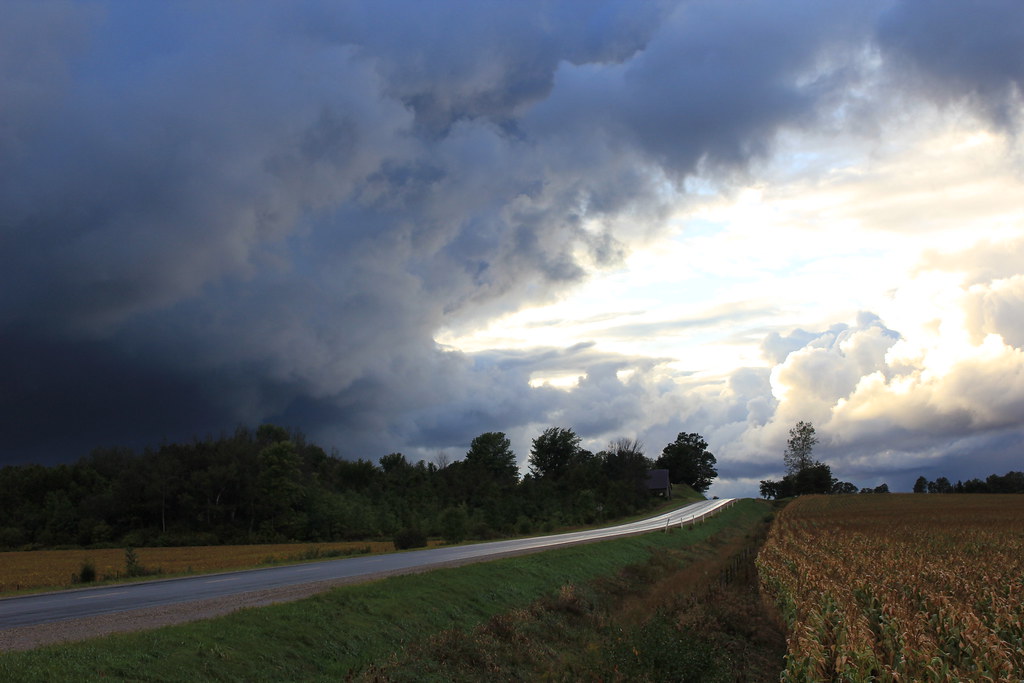
Tornado Storm Clouds
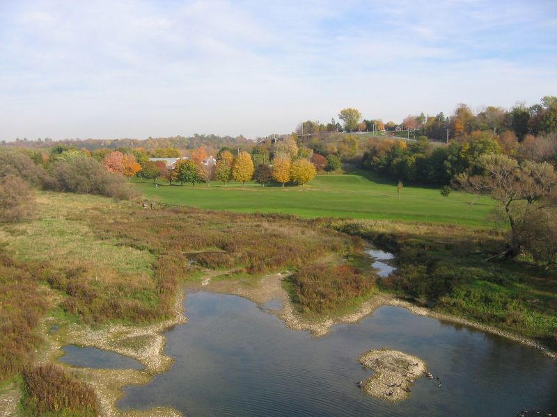
Falls Reserve Conservation Area
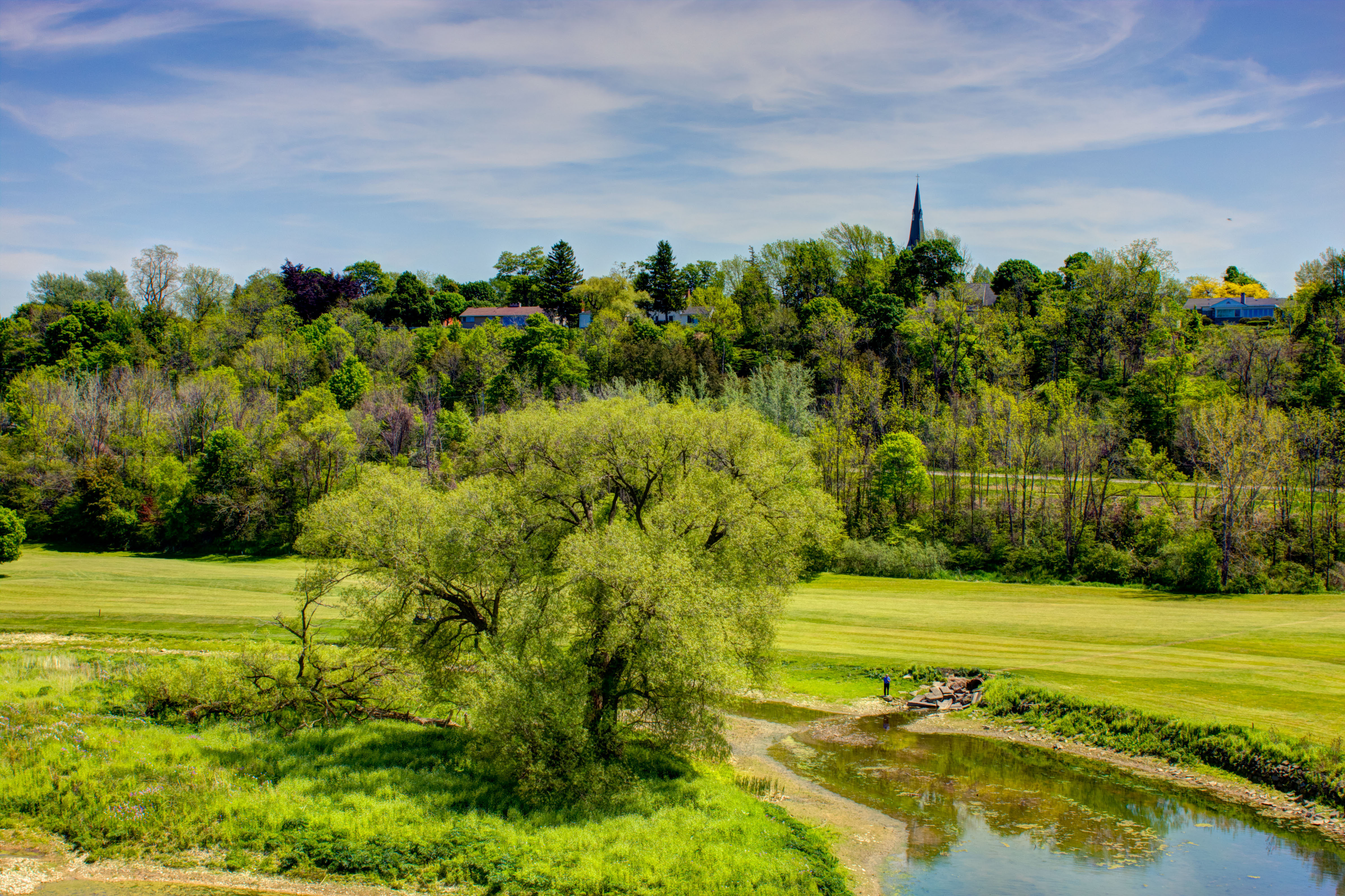
Maitland River
Canada Geese
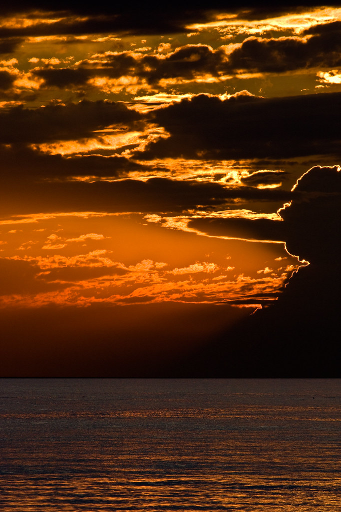
Winsotn Churchill??? - Lake Huron, Sunset - Aug 1
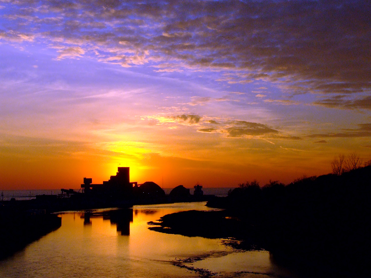
Sifto Sunset 3
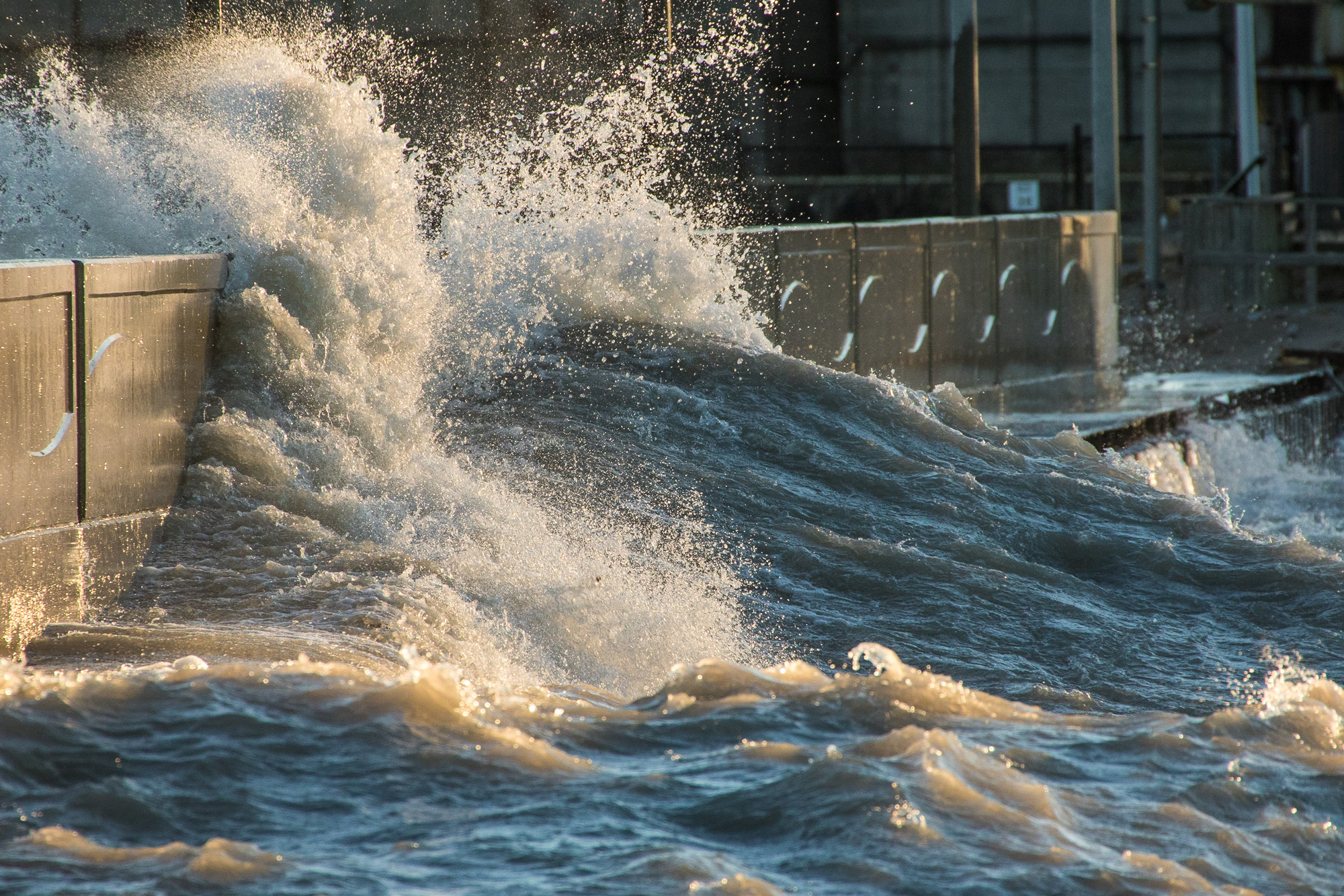
Wave Washing Over the Pier

Sittin' on the dock of the bay
Maitland Trail 35

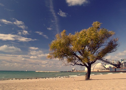
Wind-Blown Goderich Beach Tree
Topographic Map of Dungannon, ON N0M, Canada
Find elevation by address:

Places in Dungannon, ON N0M, Canada:
Places near Dungannon, ON N0M, Canada:
50 Dungannon Rd, Dungannon, ON N0M 1R0, Canada
37198 Hawkins Rd
Saratoga Line, Auburn, ON N0M 1E0, Canada
Belgrave Rd, Lucknow, ON N0G 2H0, Canada
Ashfield-colborne-wawanosh
Ruth Street
Bluewater Hwy, Goderich, ON N7A 3X9, Canada
Kerrys Line, Lucknow, ON N0G 2H0, Canada
Benmiller Inn & Spa
Airport Rd, Goderich, ON N7A 3Y2, Canada
Goderich
N7a 3x5
184 Brimicombe Crescent
Blacks Point Rd, Goderich, ON N7A 3X8, Canada
Huron County
La Vrangue Drive
Kincardine
Inverhuron Provincial Park
177 Tie Rd
3097 S Old Lakeshore Rd
Recent Searches:
- Elevation of Corso Fratelli Cairoli, 35, Macerata MC, Italy
- Elevation of Tallevast Rd, Sarasota, FL, USA
- Elevation of 4th St E, Sonoma, CA, USA
- Elevation of Black Hollow Rd, Pennsdale, PA, USA
- Elevation of Oakland Ave, Williamsport, PA, USA
- Elevation of Pedrógão Grande, Portugal
- Elevation of Klee Dr, Martinsburg, WV, USA
- Elevation of Via Roma, Pieranica CR, Italy
- Elevation of Tavkvetili Mountain, Georgia
- Elevation of Hartfords Bluff Cir, Mt Pleasant, SC, USA