Elevation of Ruth Street, Ruth St, Ashfield-Colborne-Wawanosh, ON N7A, Canada
Location: Canada > Ontario > Huron County > Goderich >
Longitude: -81.702729
Latitude: 43.7865395
Elevation: 212m / 696feet
Barometric Pressure: 99KPa
Elevation Map:
Satellite Map:
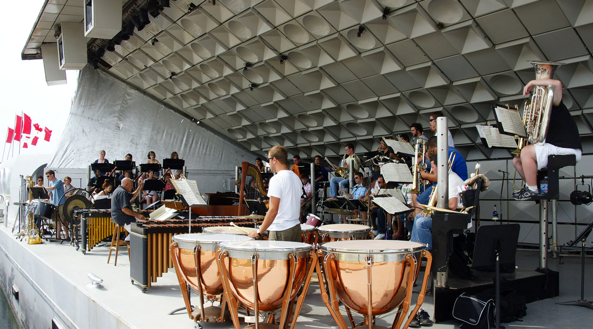
Related Photos:
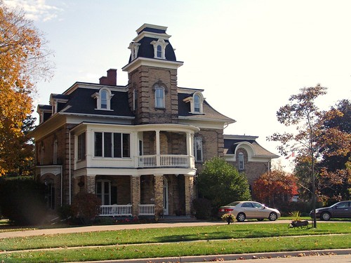
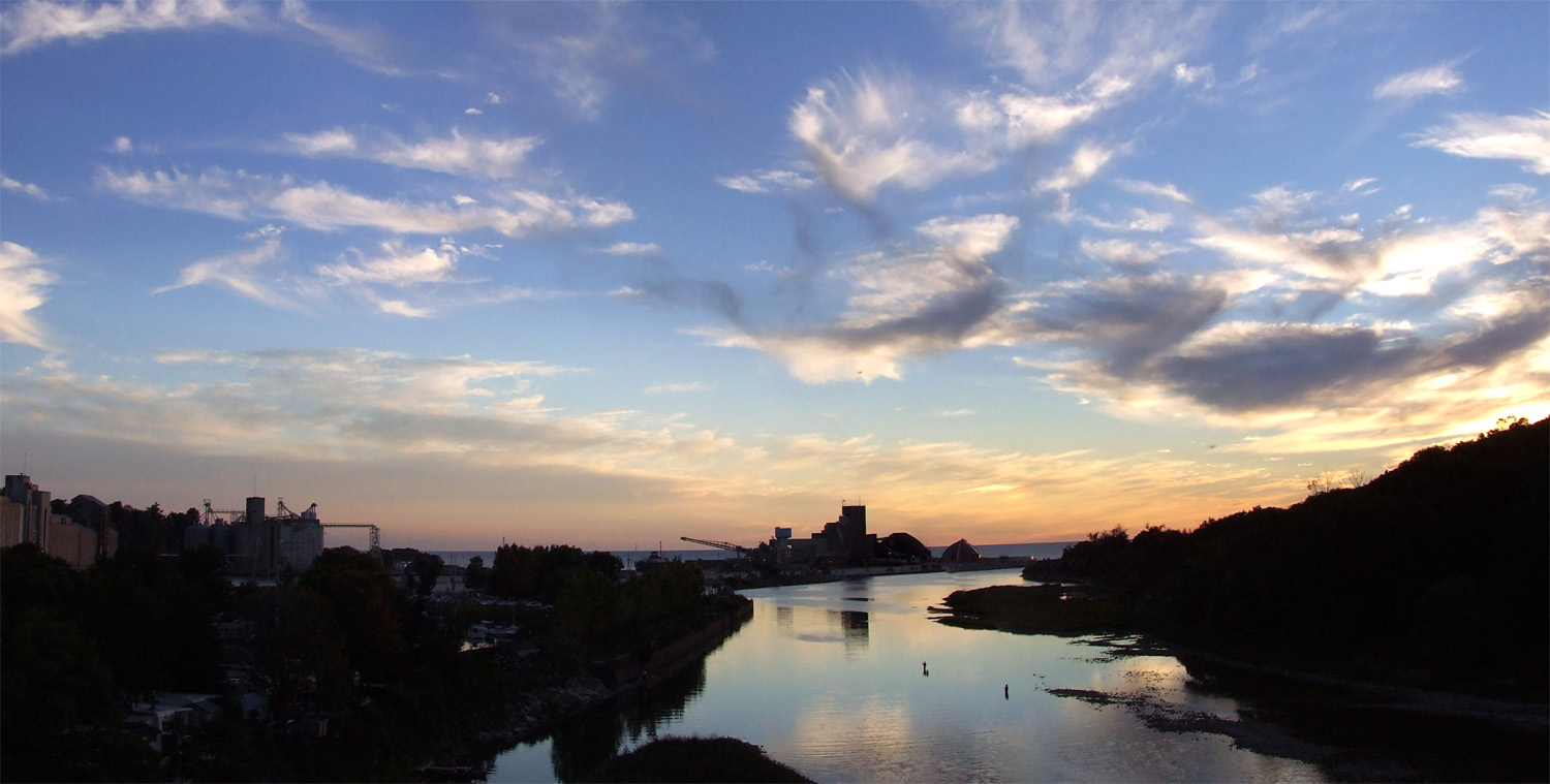
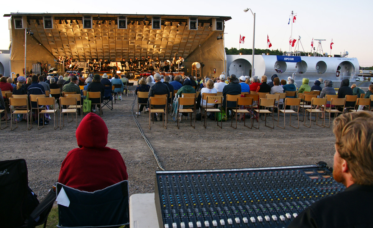
Overlooking Harbour
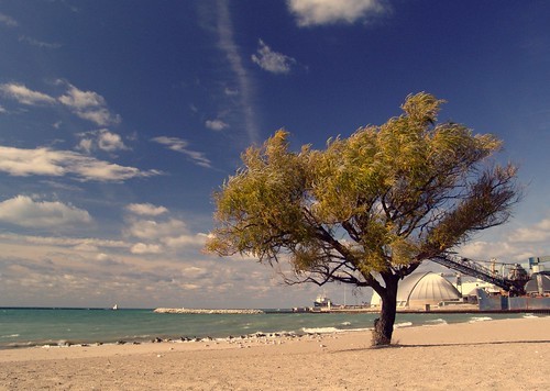
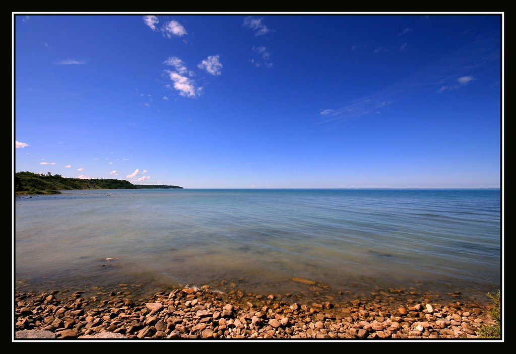
Goderich Beach
AWWO Goderich 16
AWWO Goderich 14
AWWO Goderich 17

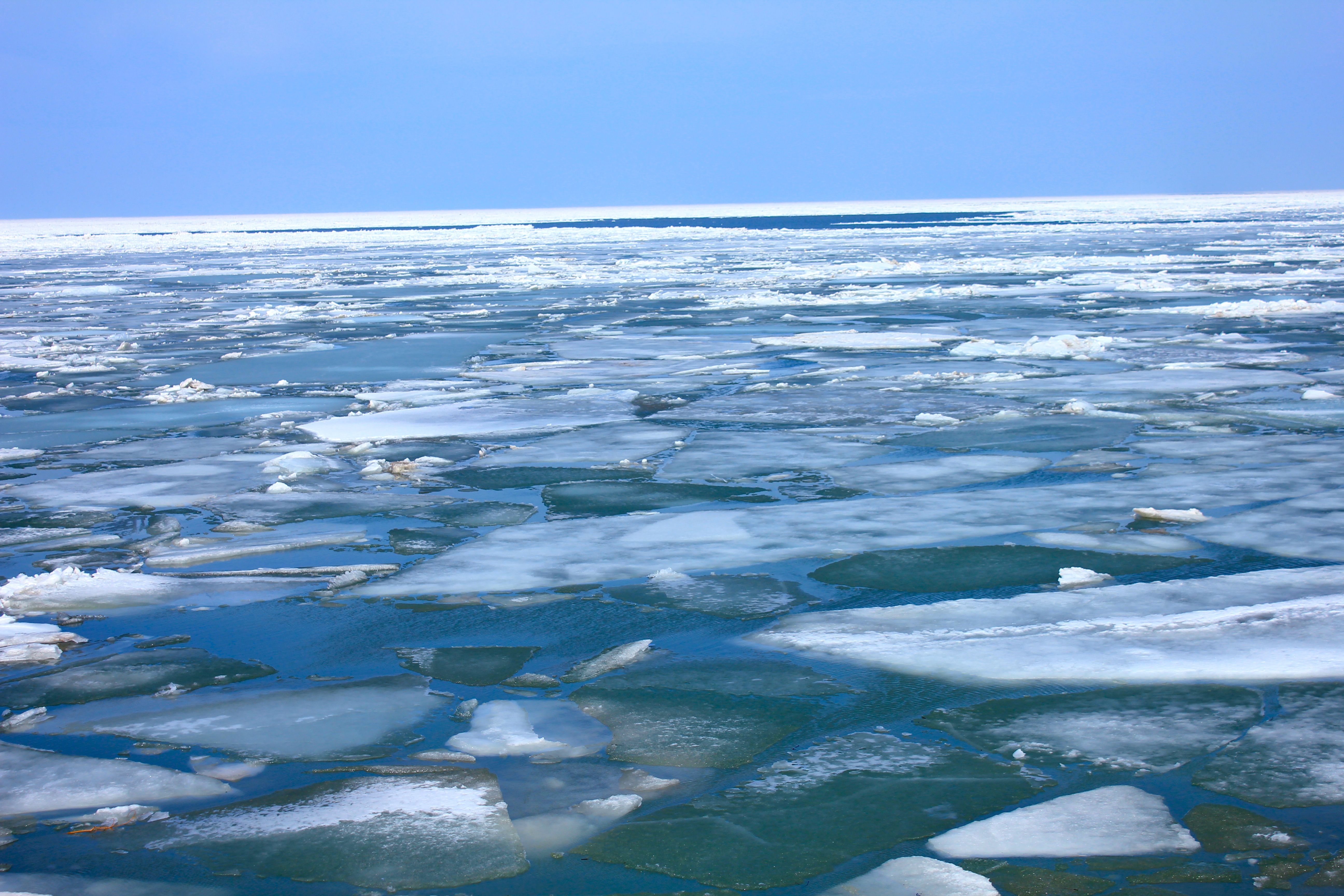
Lake Huron in Winter 1
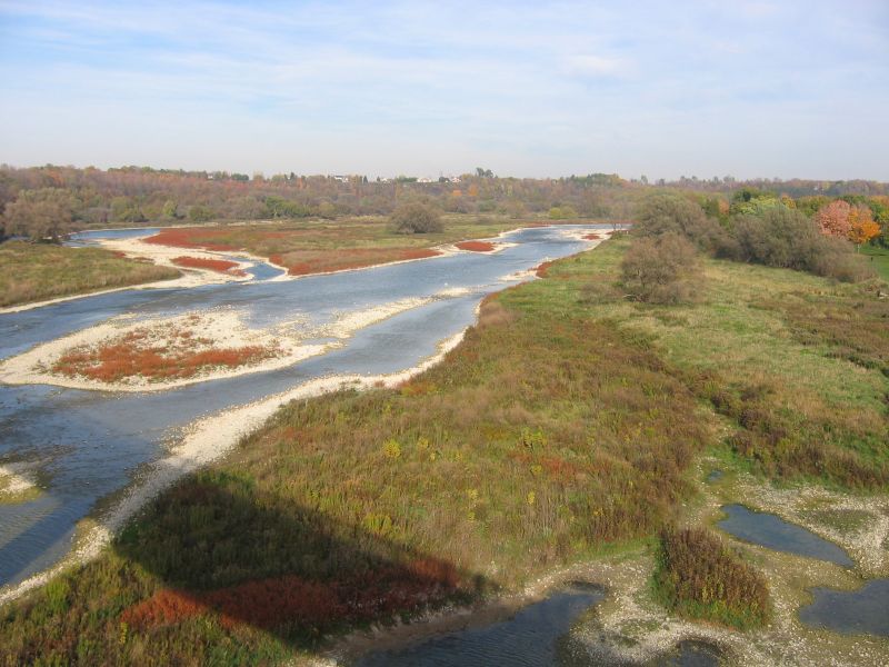
View From Trail Bridge
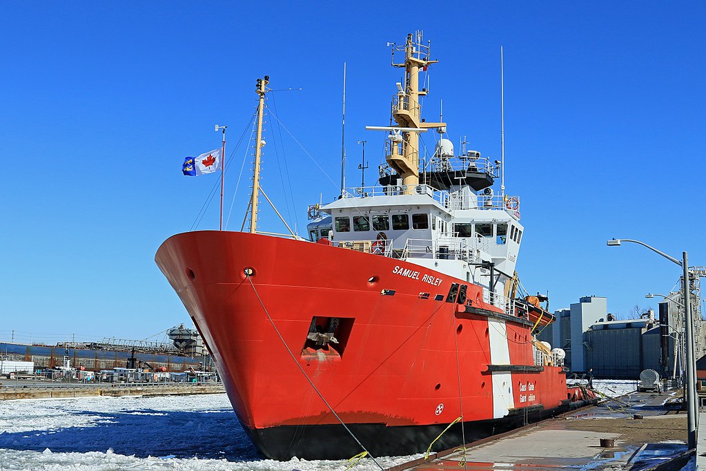
CCGS SAMUEL RISLEY 021817 01
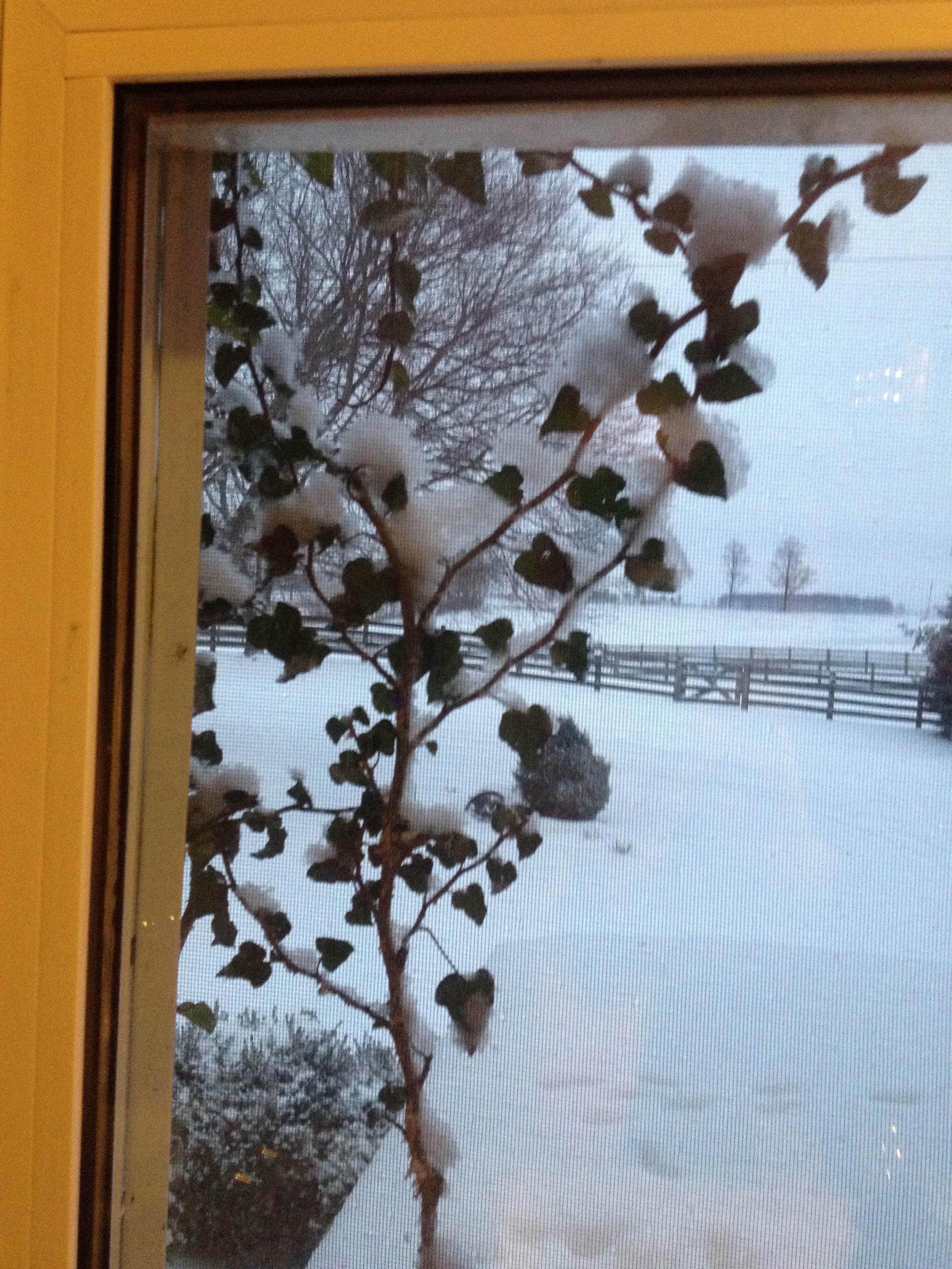
Day 18: View through the kitchen window
View From The Bridge
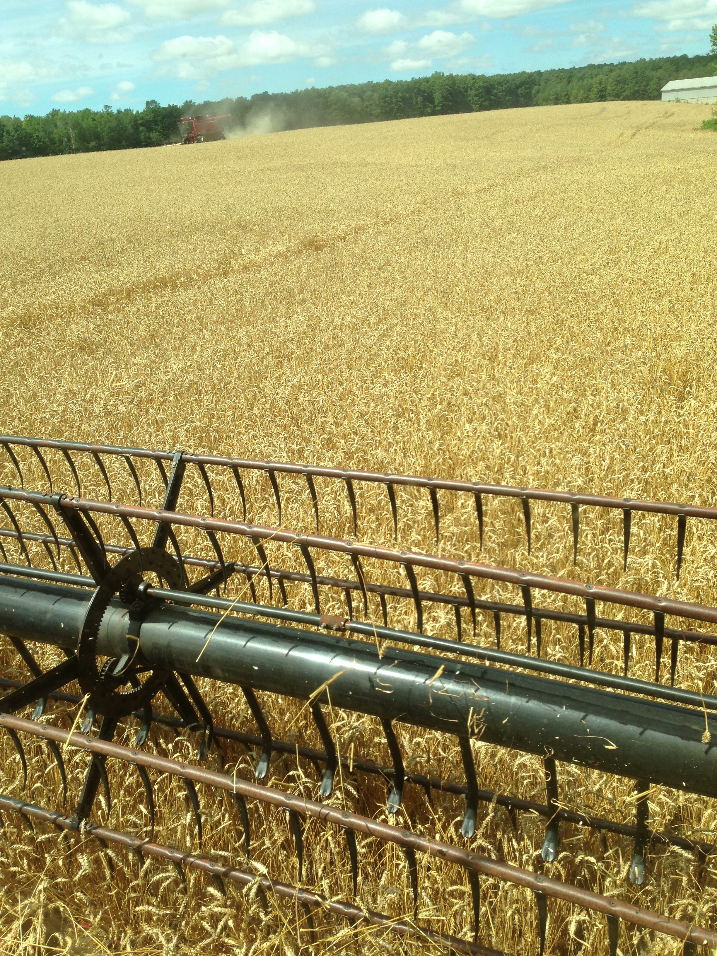
Day 205: View from my combine as the wheat harvest begins.
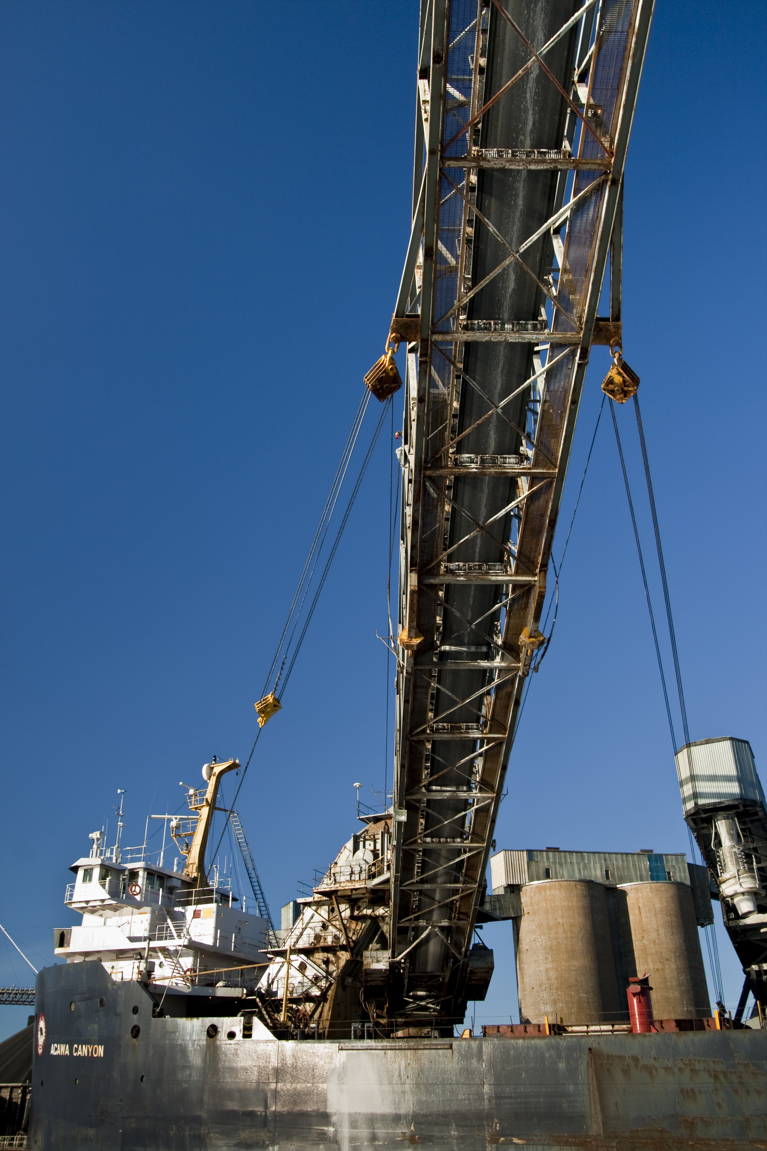
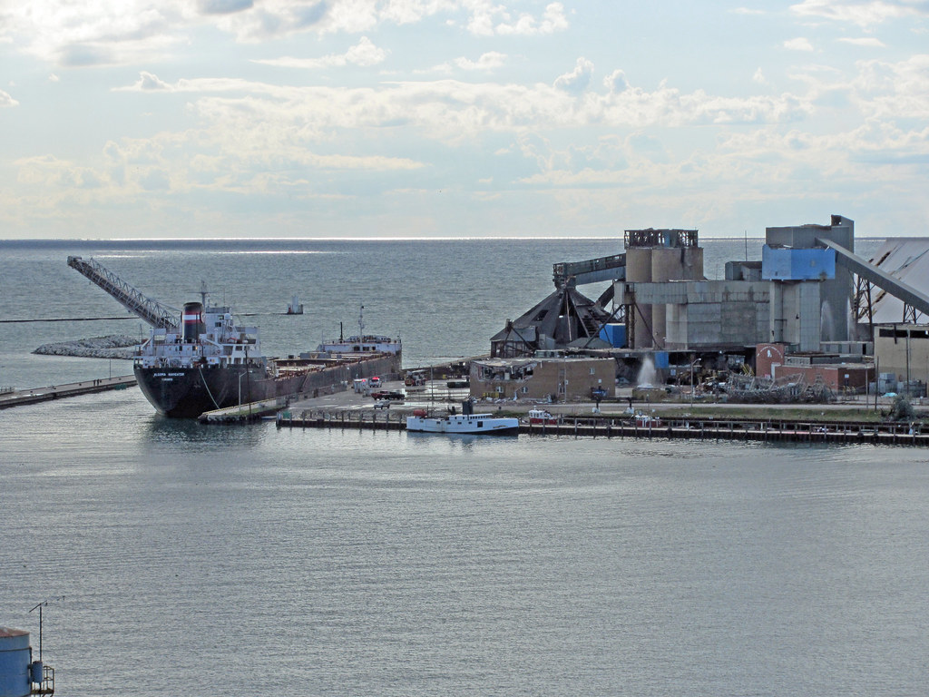
Great Lakes Salt Boat
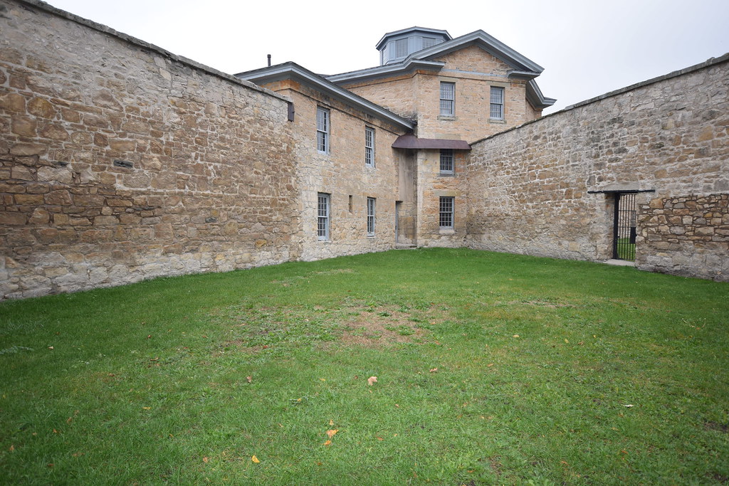
Jail Courtyard
another enhanced view

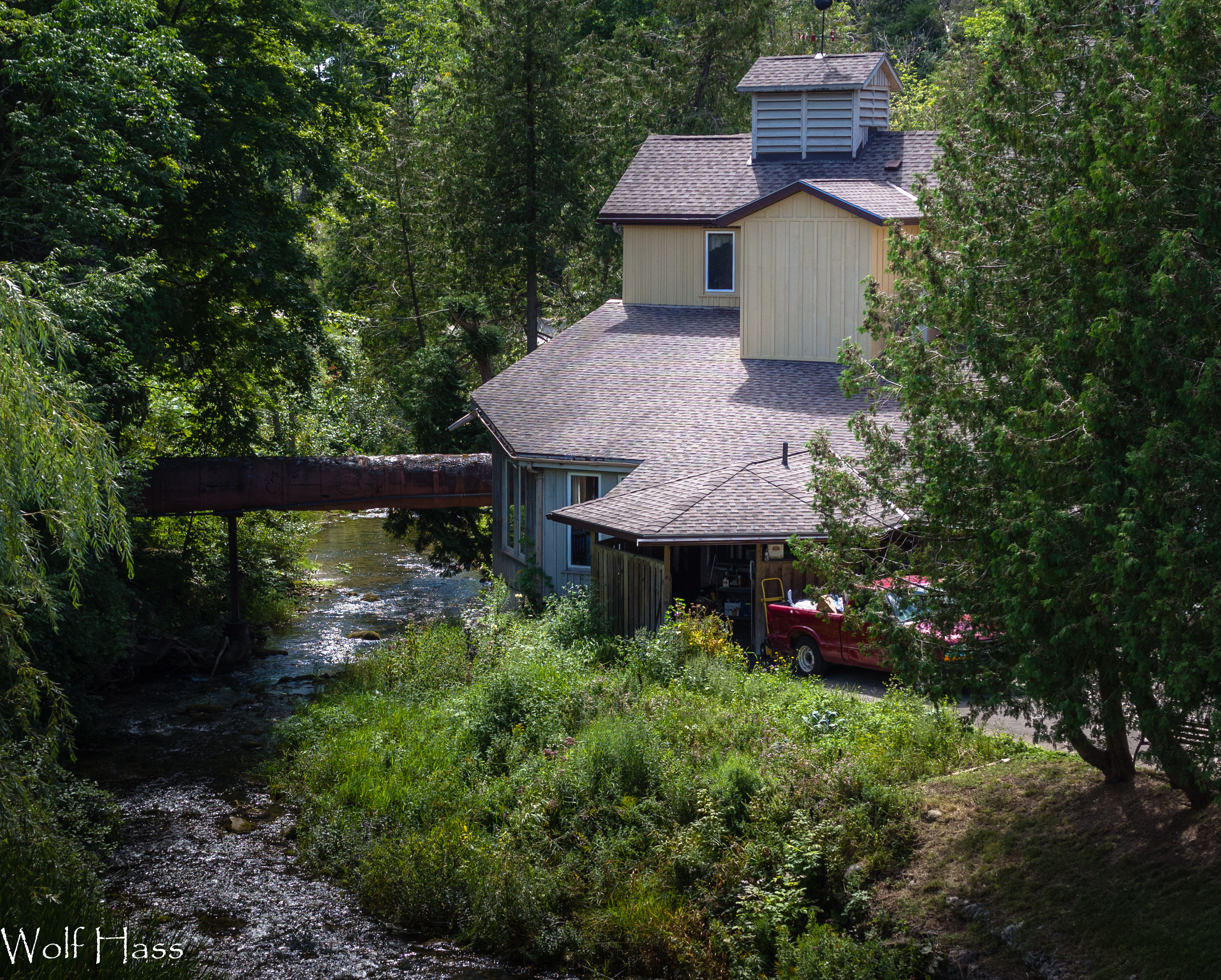
Benmiller River Mill.jpg
Lakeshore Panorama
Benmiller Woolen Mill.jpg

Day 74: You Won't Believe Who Called Into the East Street Station
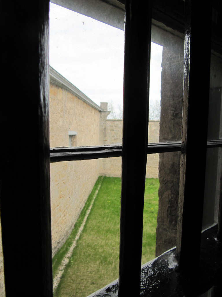
View from Cell
AWWO Goderich 71
Salt Mine Damage

Salt Mine - Goderich - Ontario - Canada
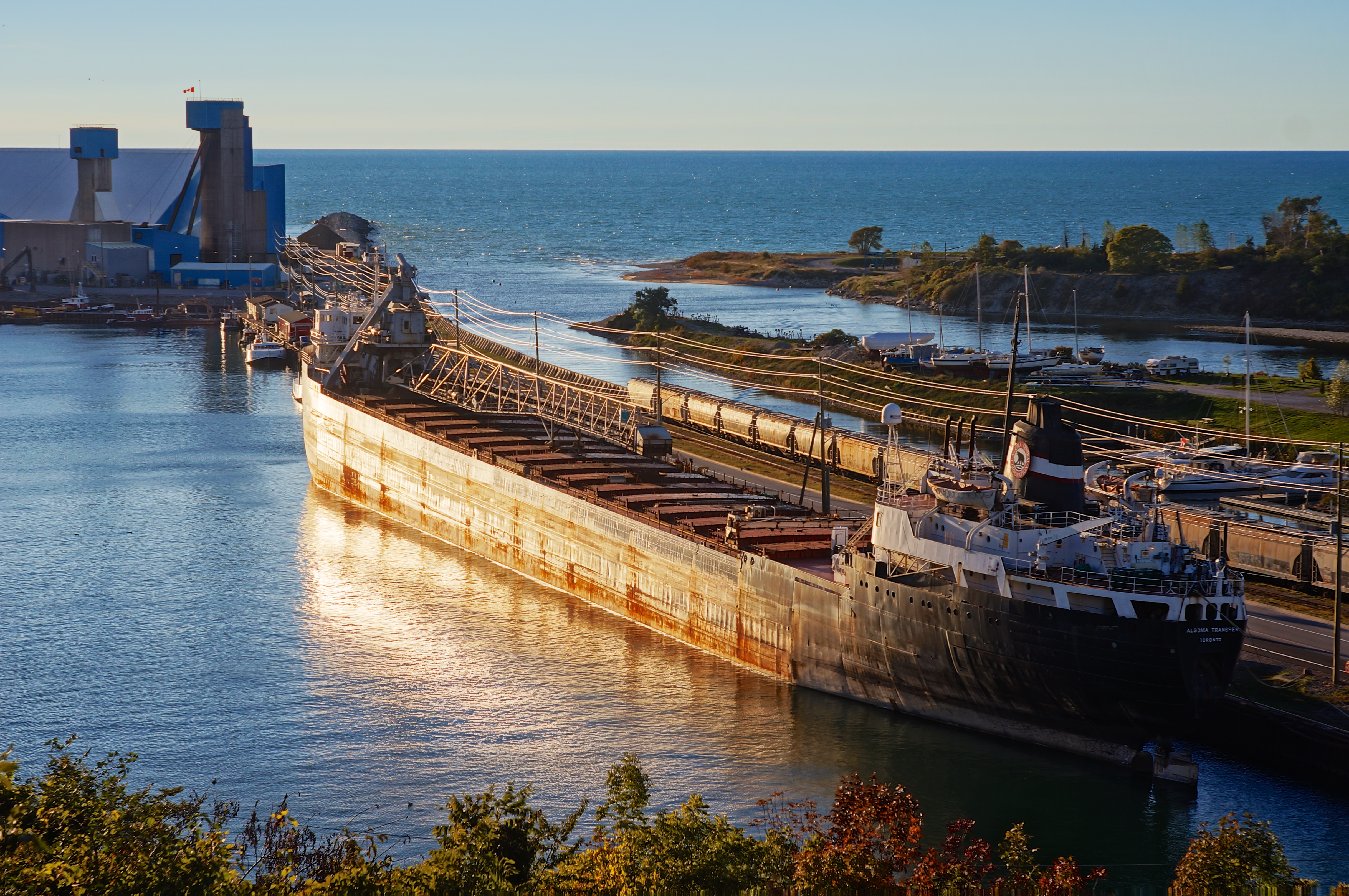
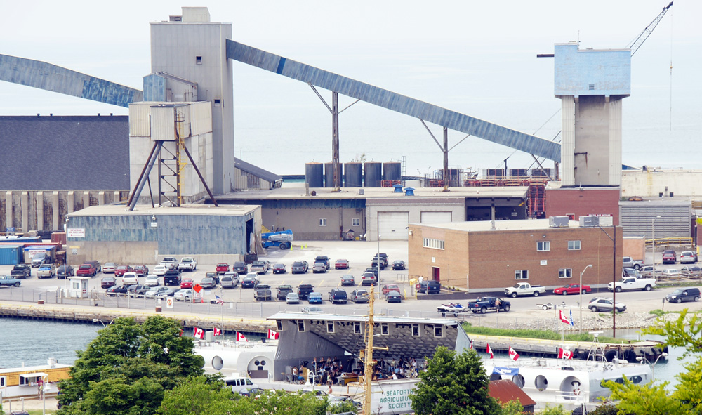
Algoma Transfer

Washed Up
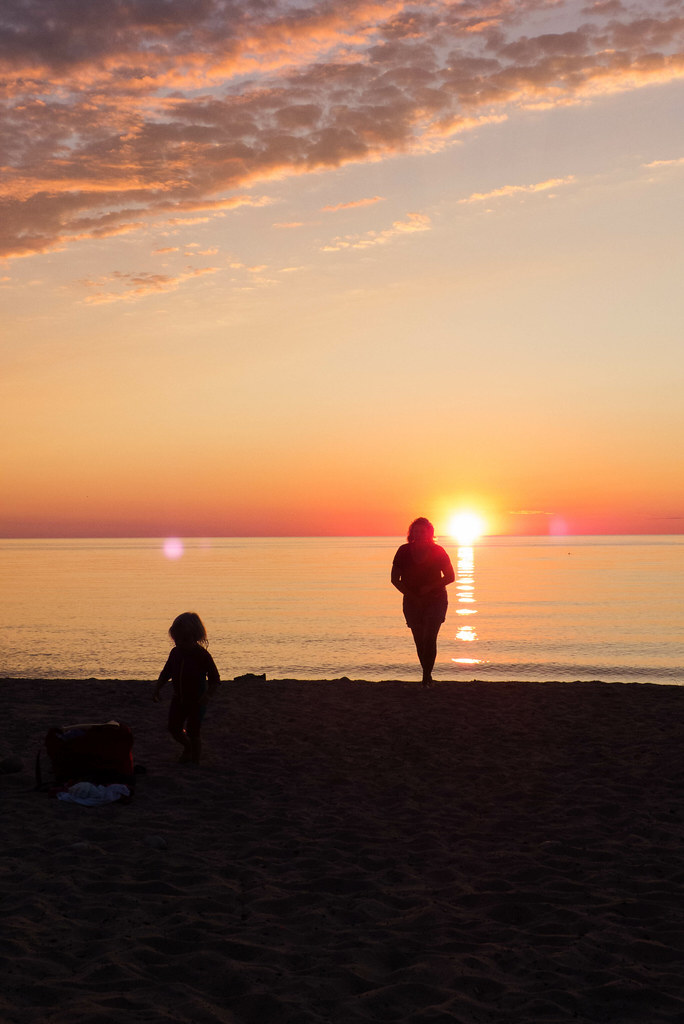
A Day at the Lake
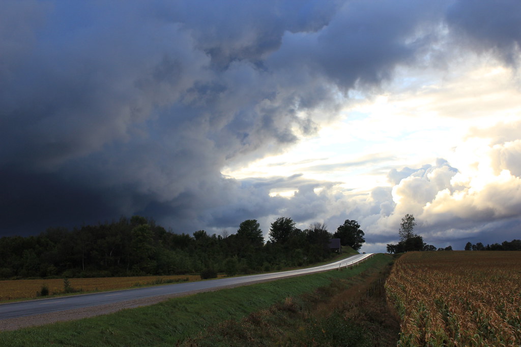
Tornado Storm Clouds
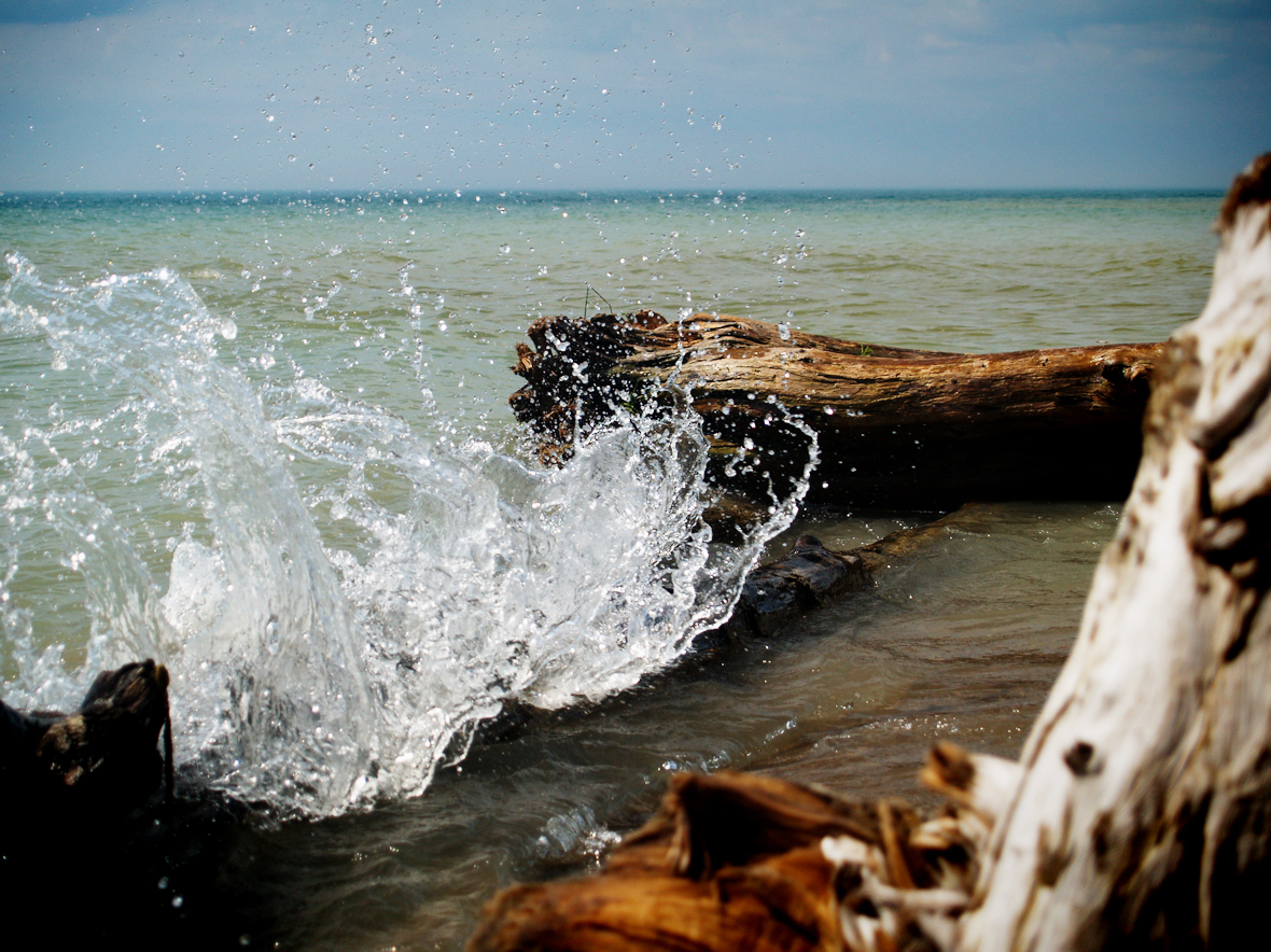
Primeval Ice Jaws

Forest Stroll

Spring Reflections
Perfect horizon
Windy November Beach

Looking west towards Londesboro, ON Canada
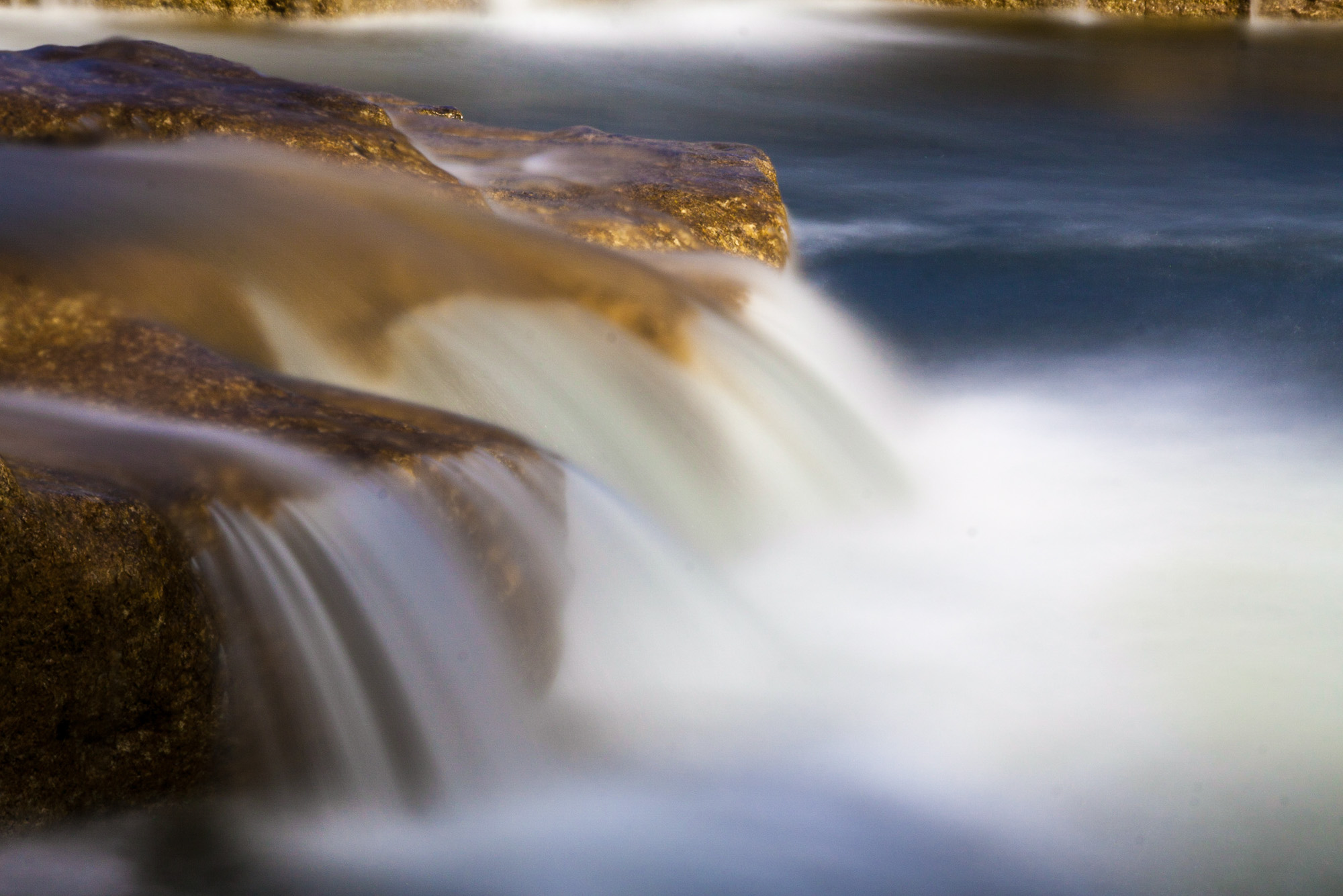
Falls Close-up Slow
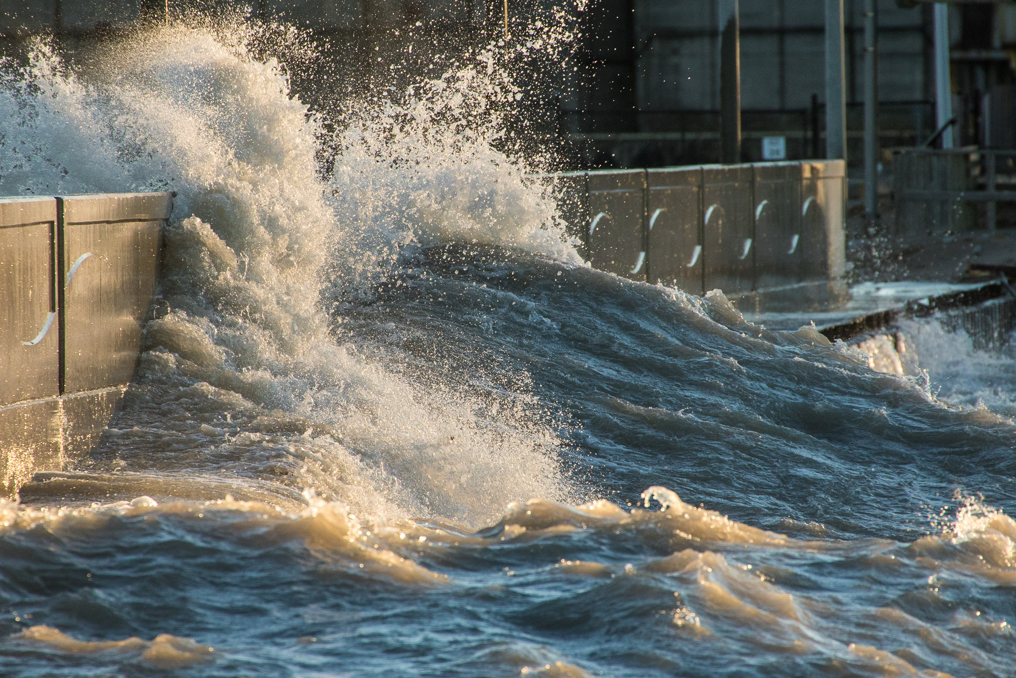
Wave Washing Over the Pier

Falls Close-up Fast
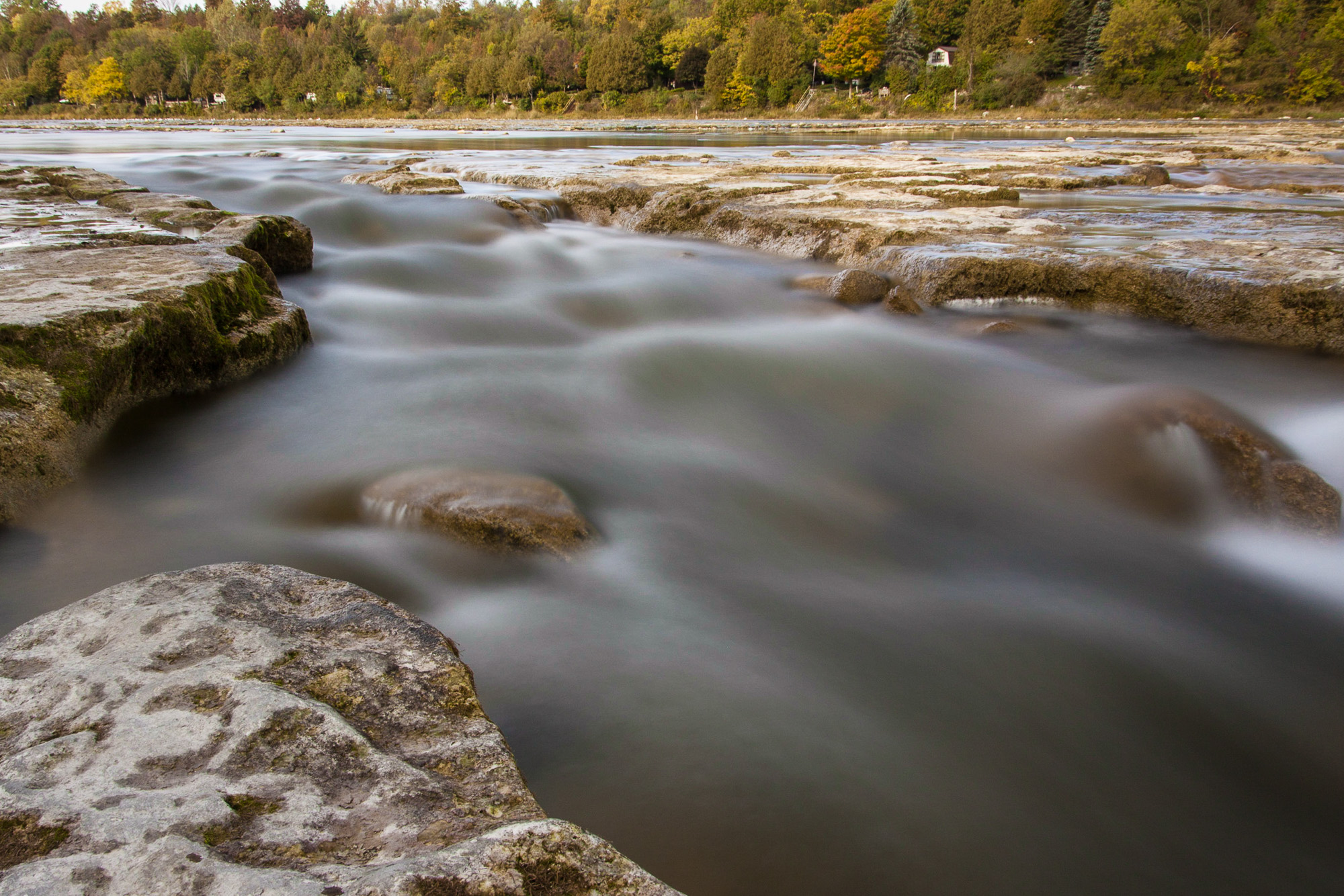
Benmiller Falls 2
On the way home last evening from Londesboro, ON Canada, Sept. 4-09-10

The Lone Fisherman.
Waves Crash
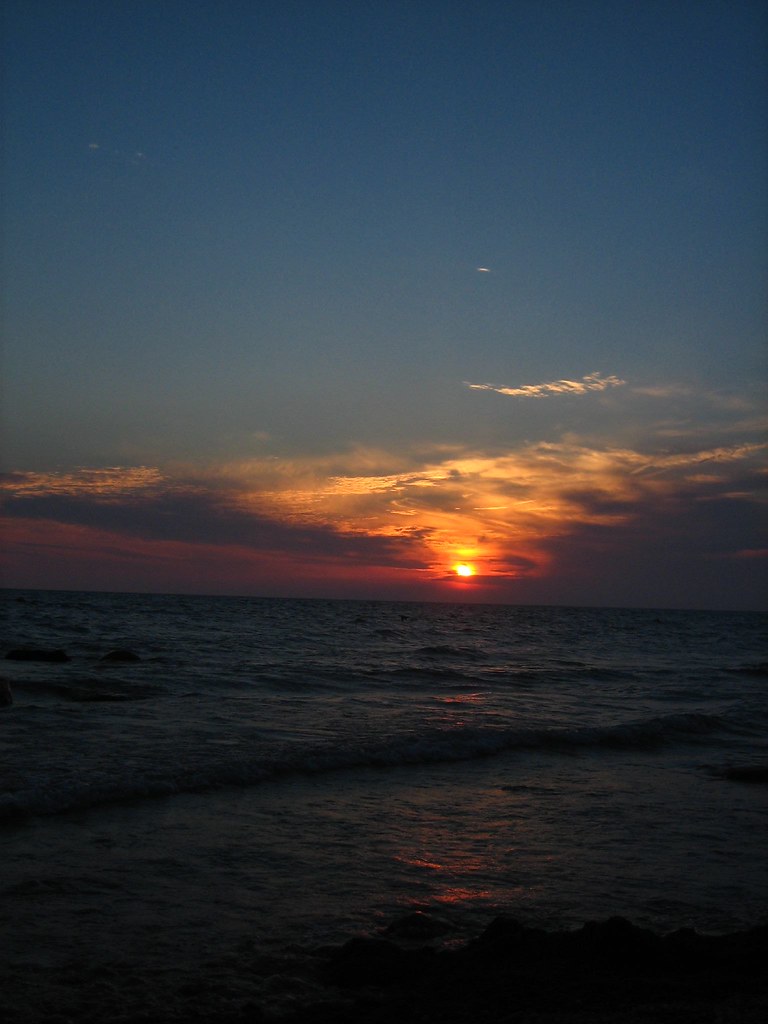
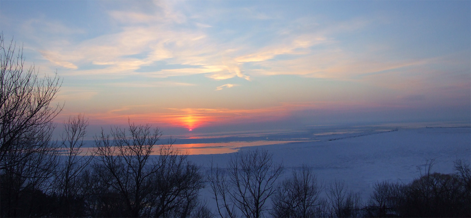
Lake Huron Sunset
P1240450.jpg
Topographic Map of Ruth Street, Ruth St, Ashfield-Colborne-Wawanosh, ON N7A, Canada
Find elevation by address:

Places near Ruth Street, Ruth St, Ashfield-Colborne-Wawanosh, ON N7A, Canada:
Airport Rd, Goderich, ON N7A 3Y2, Canada
Goderich
N7a 3x5
184 Brimicombe Crescent
Blacks Point Rd, Goderich, ON N7A 3X8, Canada
Benmiller Inn & Spa
37198 Hawkins Rd
Saratoga Line, Auburn, ON N0M 1E0, Canada
Dungannon
50 Dungannon Rd, Dungannon, ON N0M 1R0, Canada
Ashfield-colborne-wawanosh
Bluewater Hwy, Goderich, ON N7A 3X9, Canada
Huron County
Belgrave Rd, Lucknow, ON N0G 2H0, Canada
La Vrangue Drive
Kerrys Line, Lucknow, ON N0G 2H0, Canada
Kincardine
Inverhuron Provincial Park
177 Tie Rd
3097 S Old Lakeshore Rd
Recent Searches:
- Elevation of Bellvale Lakes Rd, Warwick, NY, USA
- Elevation of Zimmer Trail, Pennsylvania, USA
- Elevation of 87 Kilmartin Ave, Bristol, CT, USA
- Elevation of Honghe National Nature Reserve, QP95+PJP, Tongjiang, Heilongjiang, Jiamusi, Heilongjiang, China
- Elevation of Hercules Dr, Colorado Springs, CO, USA
- Elevation of Szlak pieszy czarny, Poland
- Elevation of Griffing Blvd, Biscayne Park, FL, USA
- Elevation of Kreuzburger Weg 13, Düsseldorf, Germany
- Elevation of Gateway Blvd SE, Canton, OH, USA
- Elevation of East W.T. Harris Boulevard, E W.T. Harris Blvd, Charlotte, NC, USA