Elevation of Airport Rd, Goderich, ON N7A 3Y2, Canada
Location: Canada > Ontario > Huron County > Ashfield-colborne-wawanosh >
Longitude: -81.710379
Latitude: 43.760921
Elevation: 214m / 702feet
Barometric Pressure: 99KPa
Elevation Map:
Satellite Map:
Related Photos:
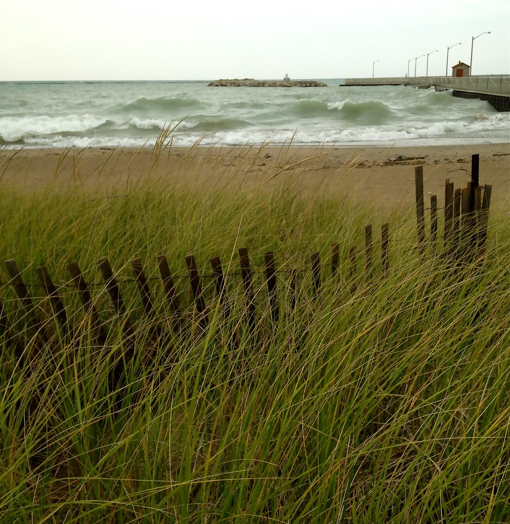
Goderich Beach
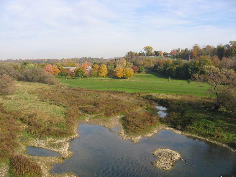
Overlooking Harbour

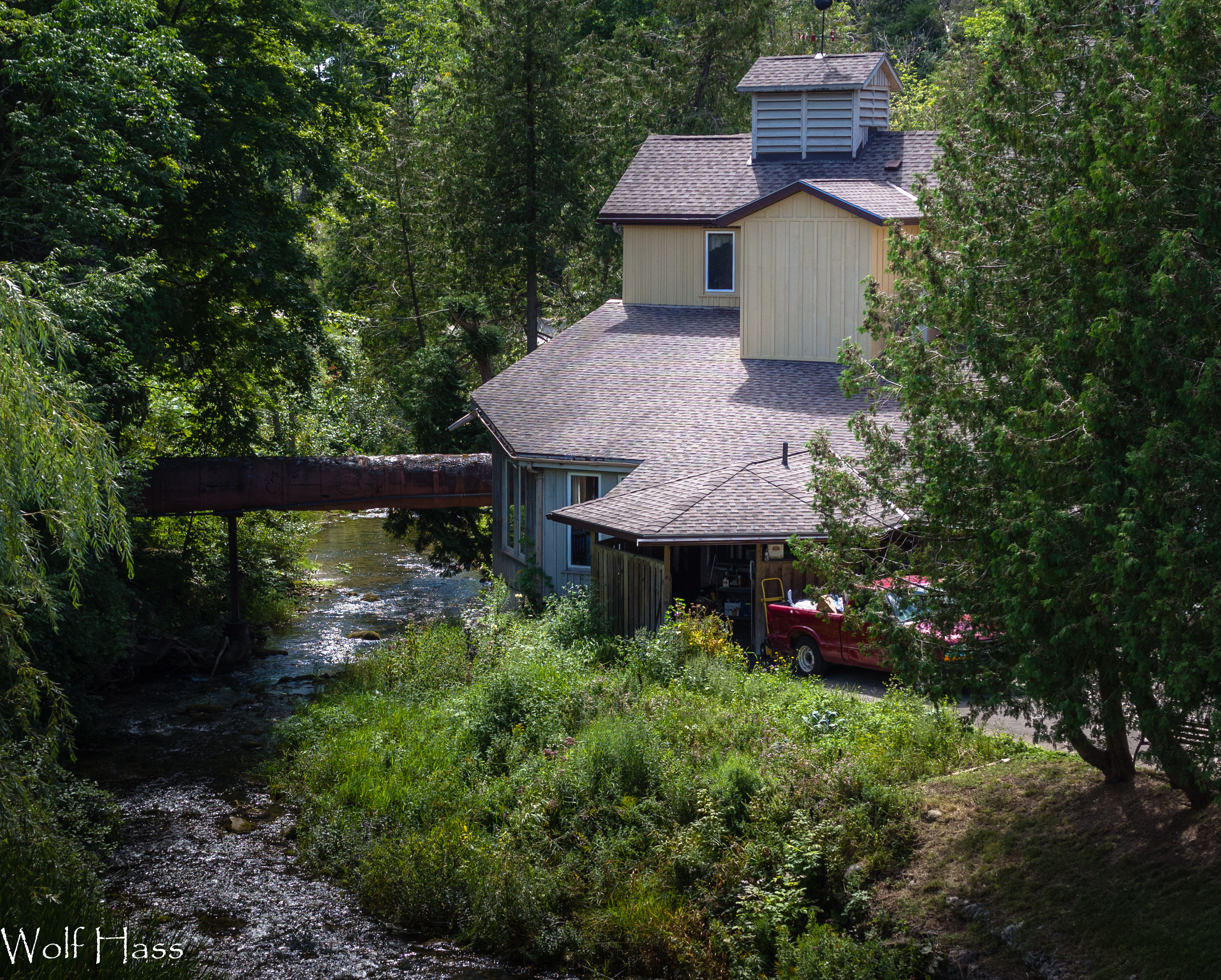
Benmiller River Mill.jpg
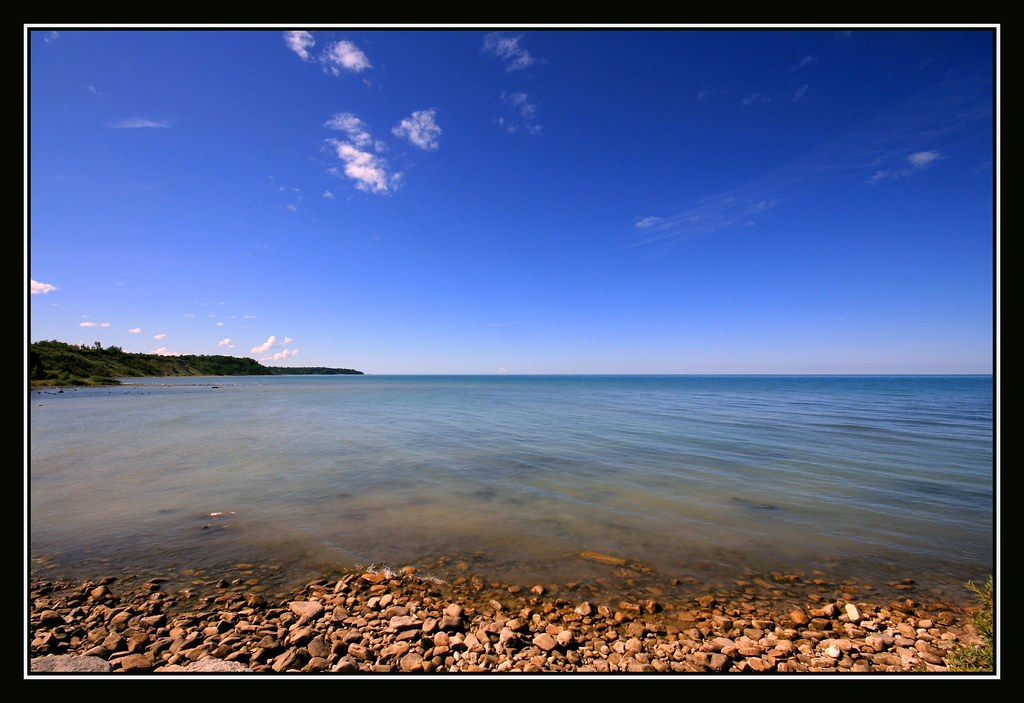
Lakeshore Panorama
Rotary Cove Sunset 4

Bench with a View
View From Trail Bridge

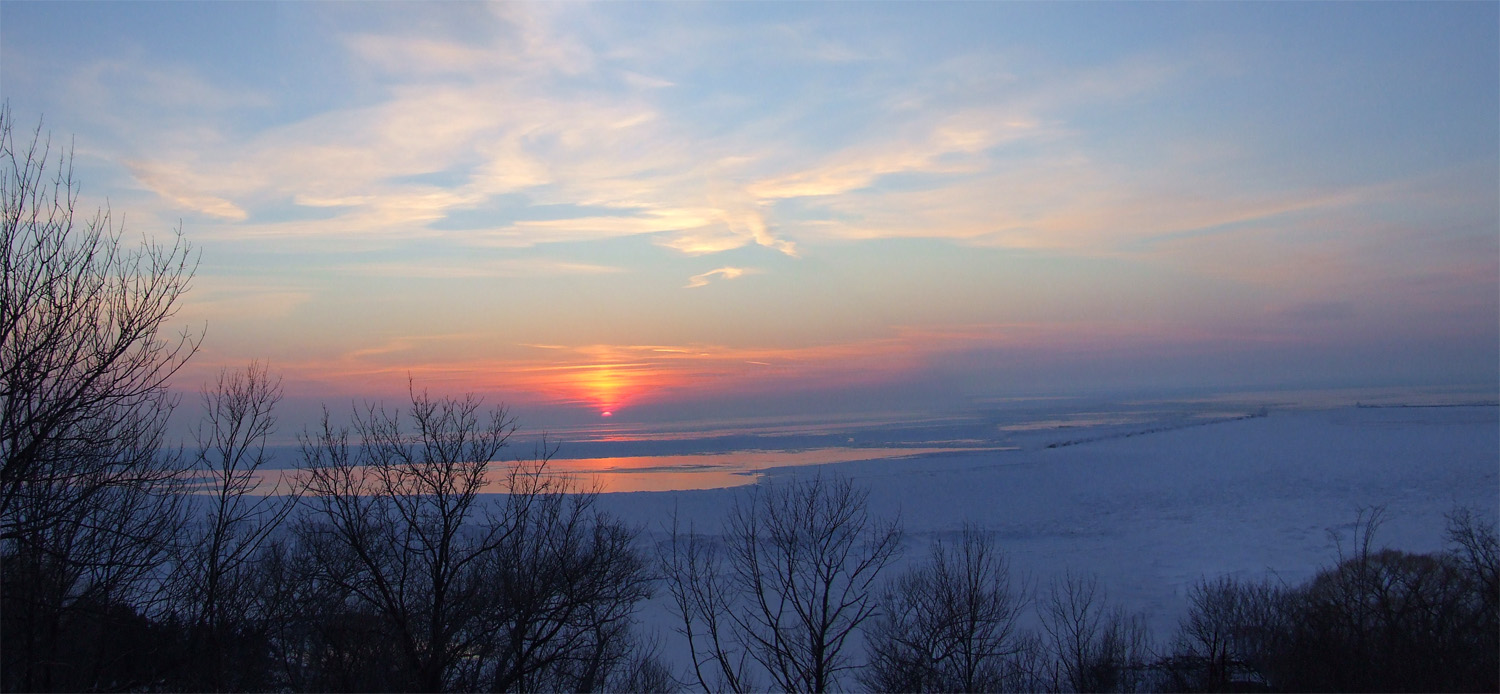
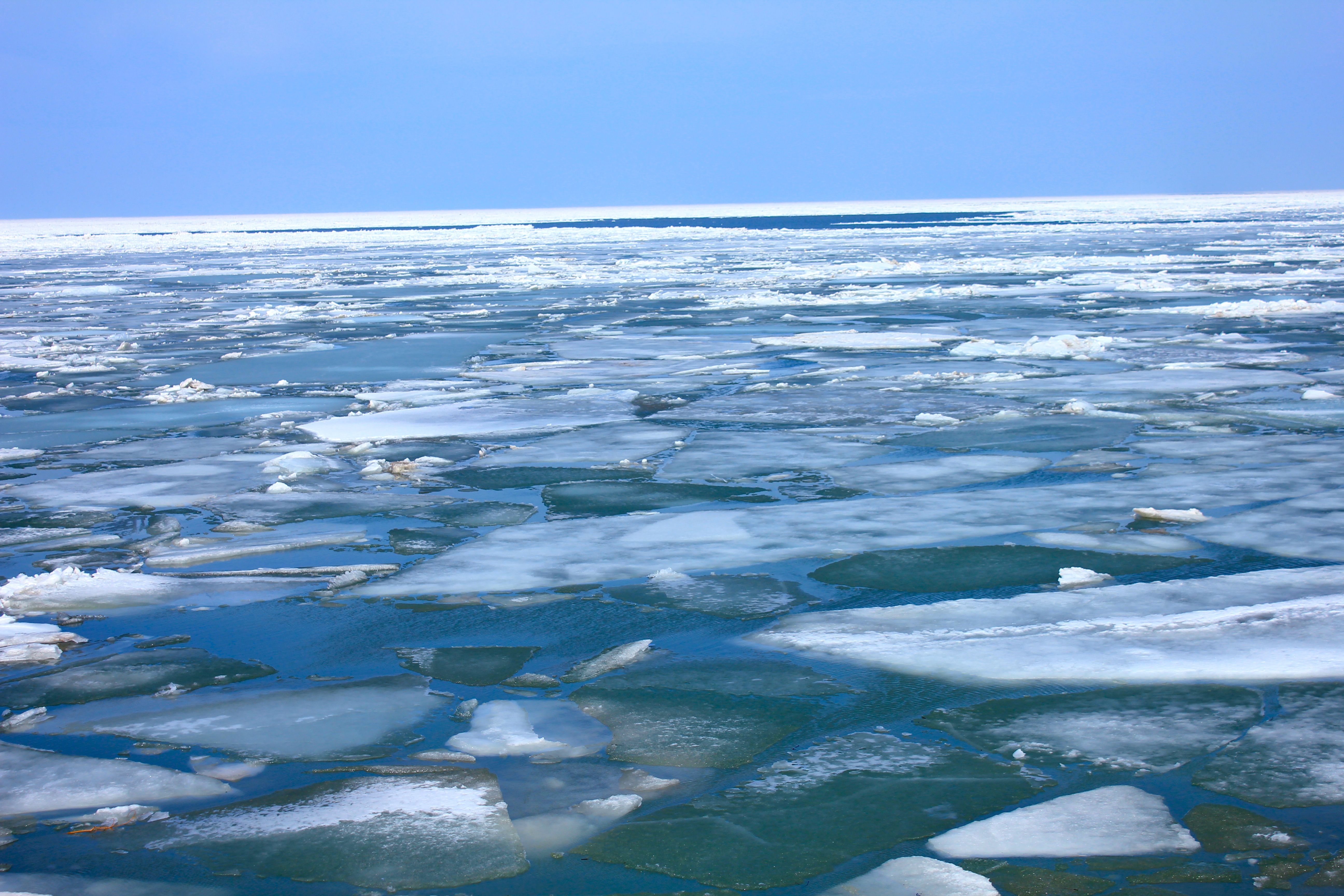
Lake Huron in Winter 1
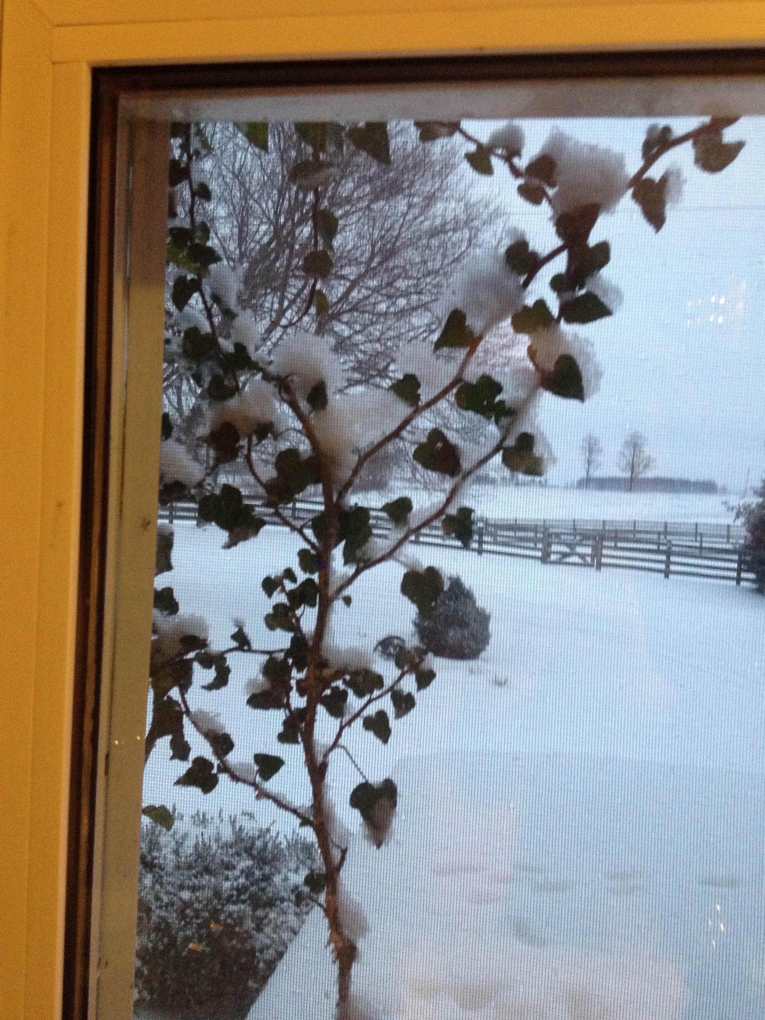
Day 18: View through the kitchen window

The View from Inside

Goderich Grain Elevators #3
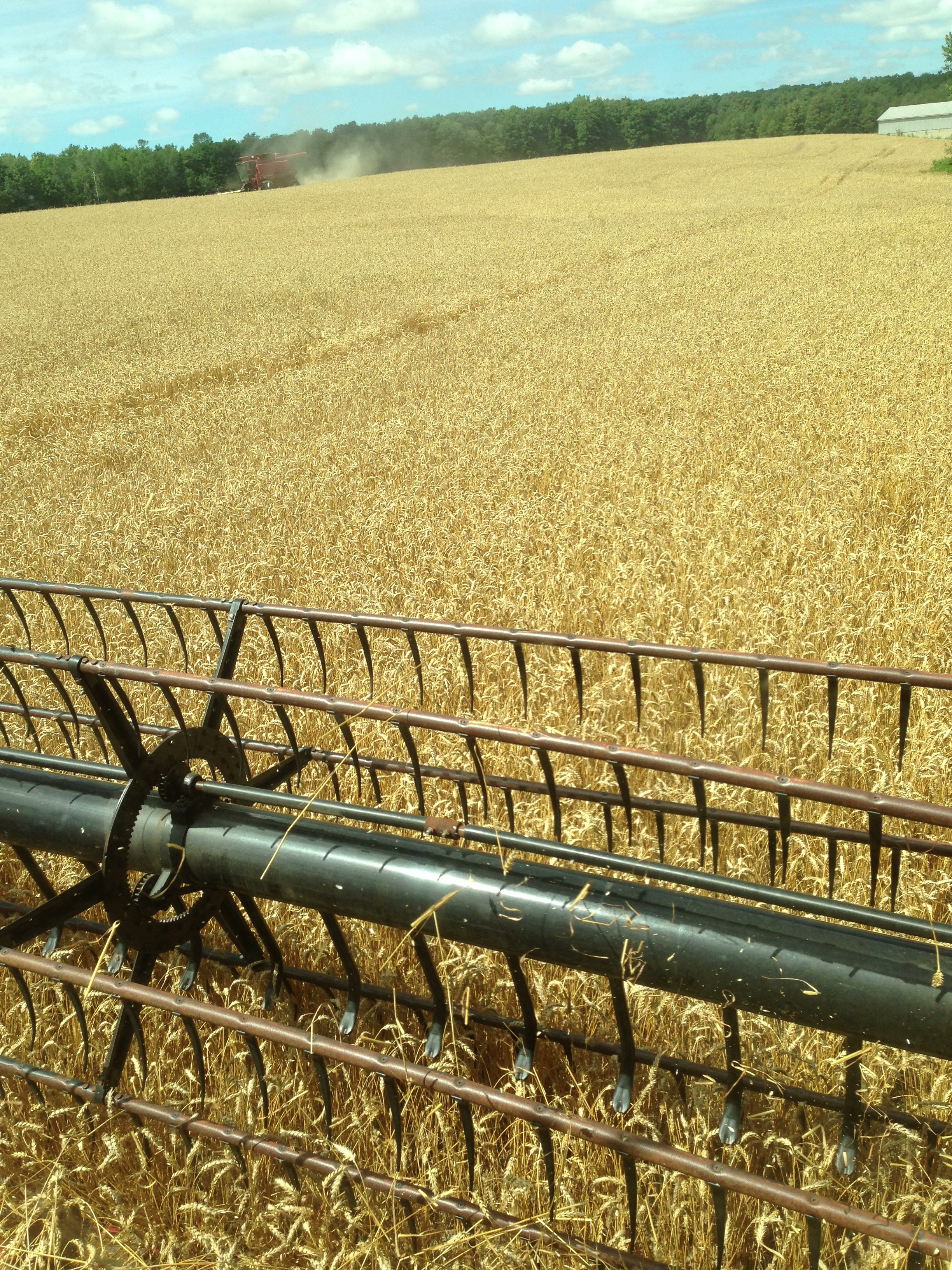
Day 205: View from my combine as the wheat harvest begins.
another enhanced view
View From Trail Bridge

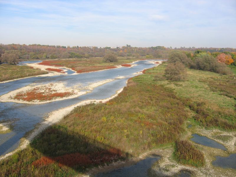
Maitland River Clouds

Day 299: View from my front porch

Lake Huron December Skies
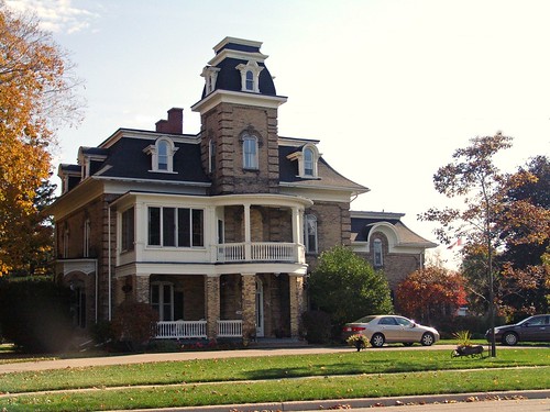
Goderich, Ontario
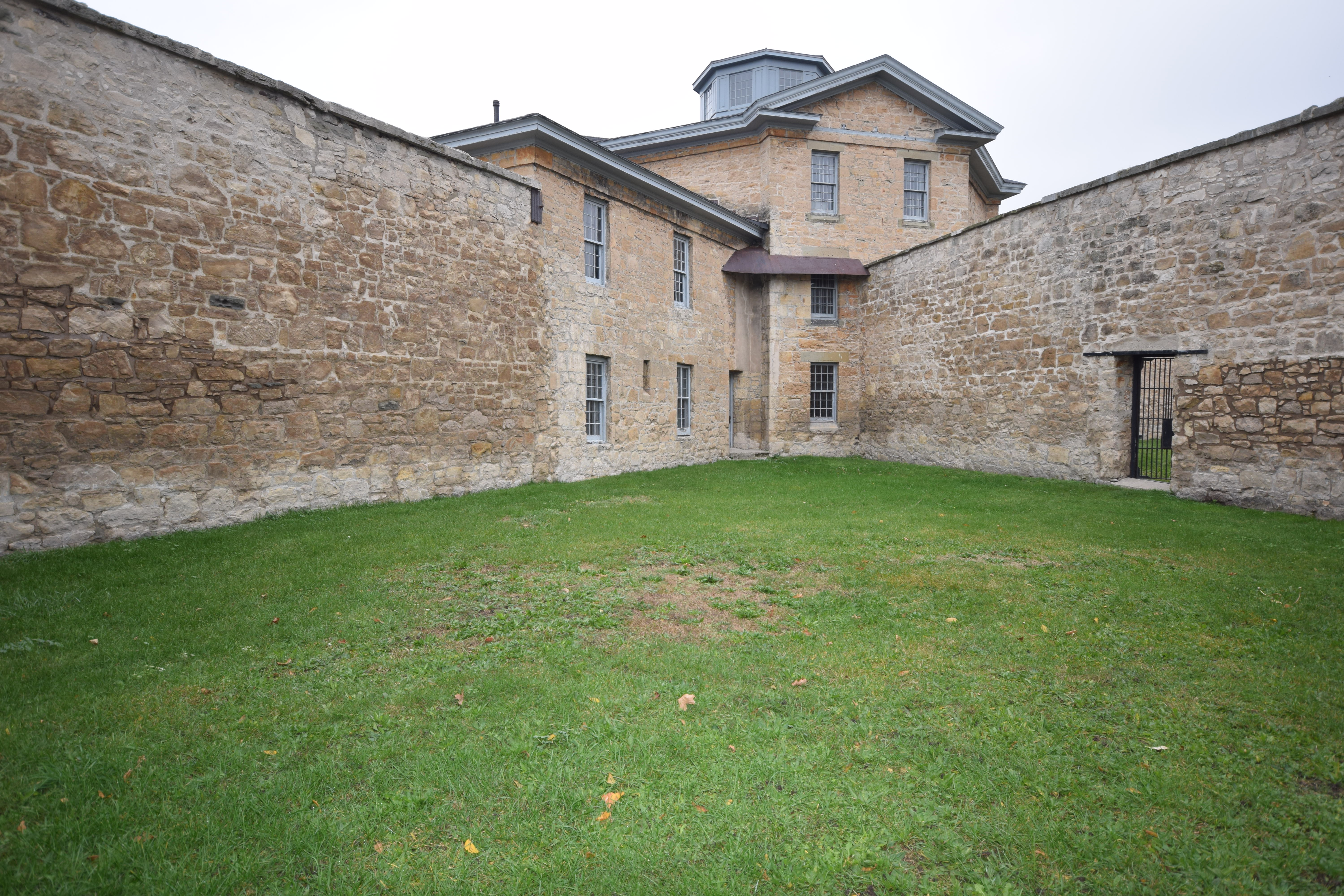
Jail Courtyard

Harbour Park Rain
Benmiller Woolen Mill.jpg

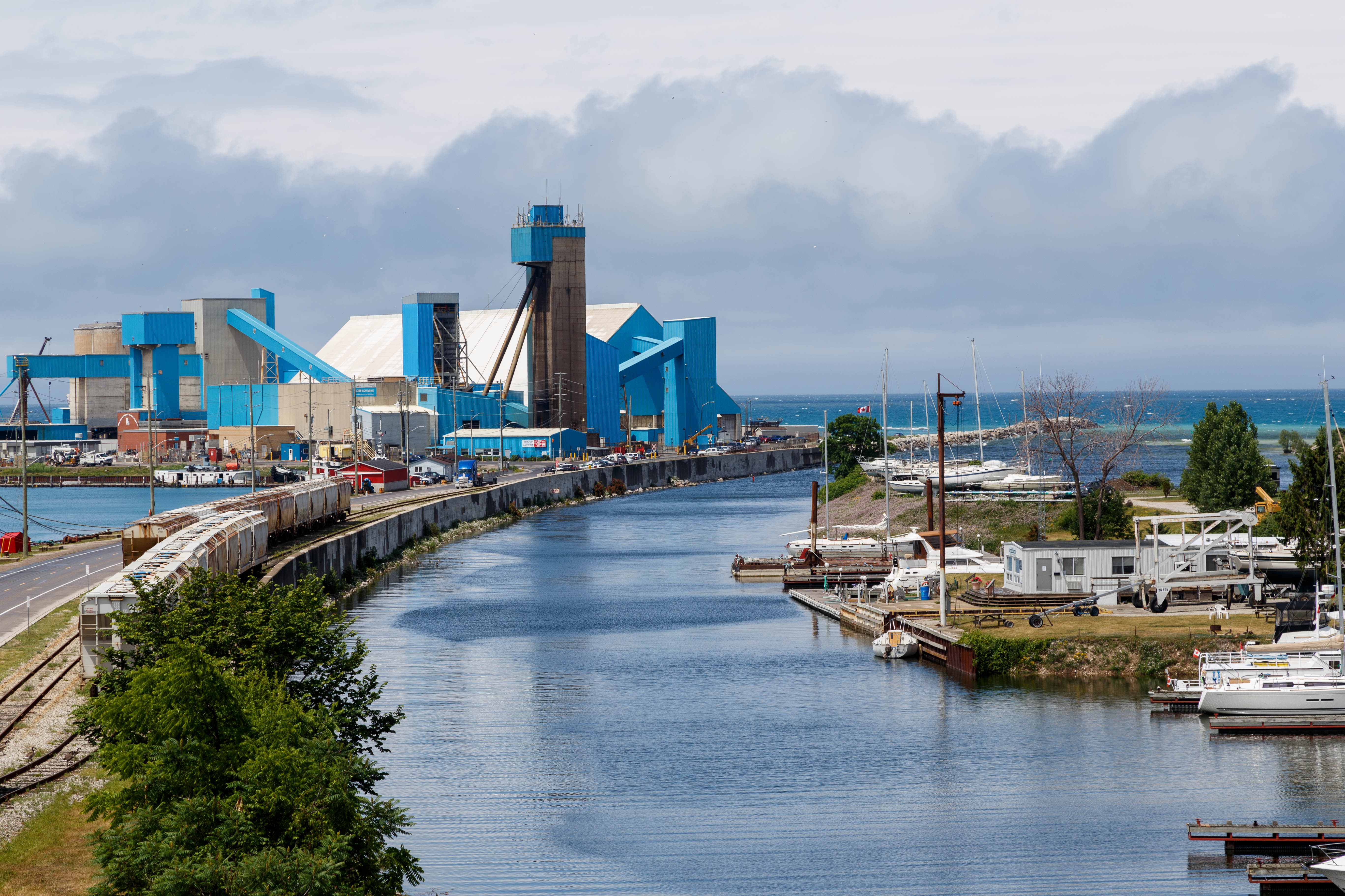
Salt Mine - Goderich - Ontario - Canada
A Day at the Lake
Windy November Beach

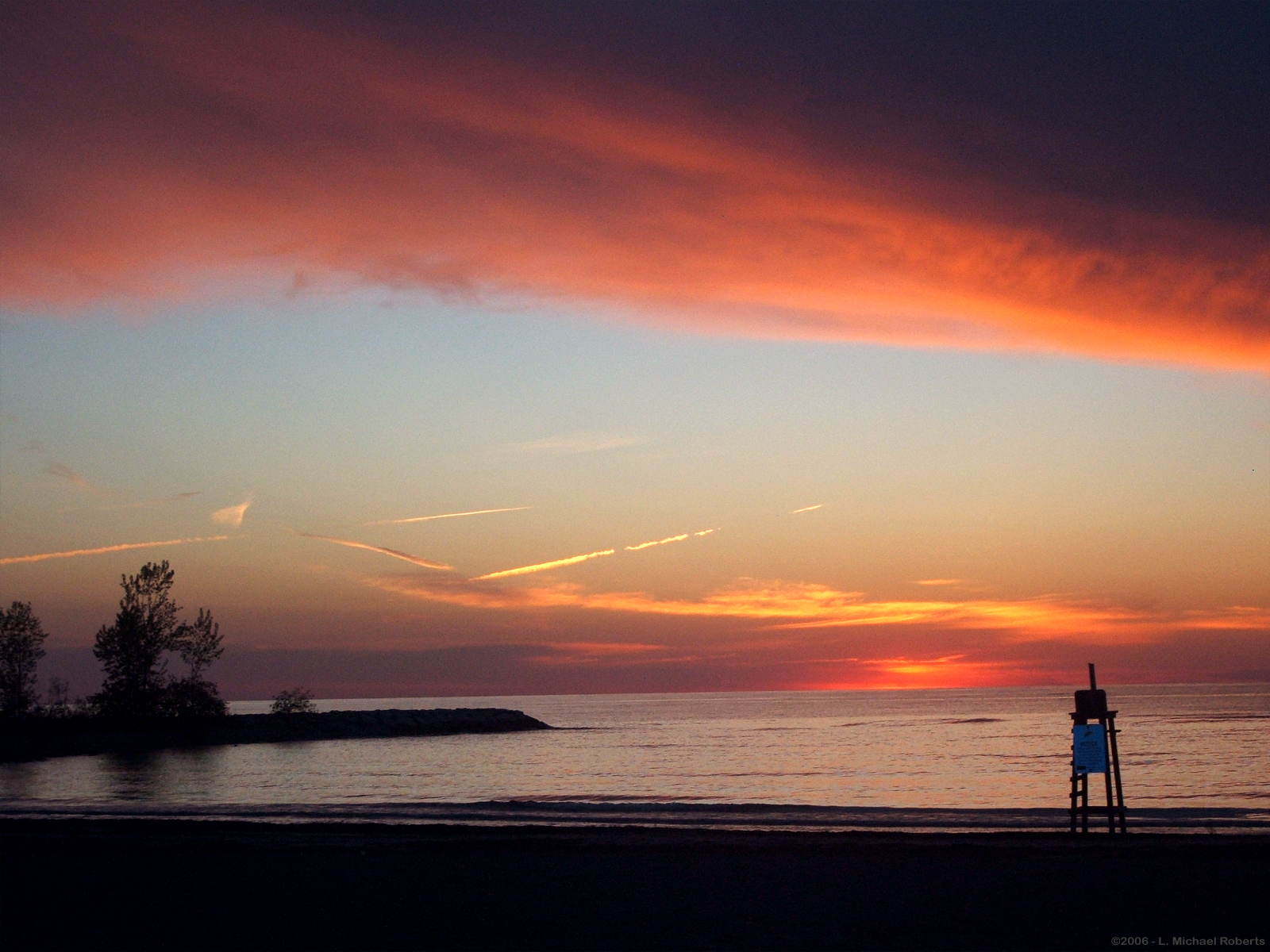
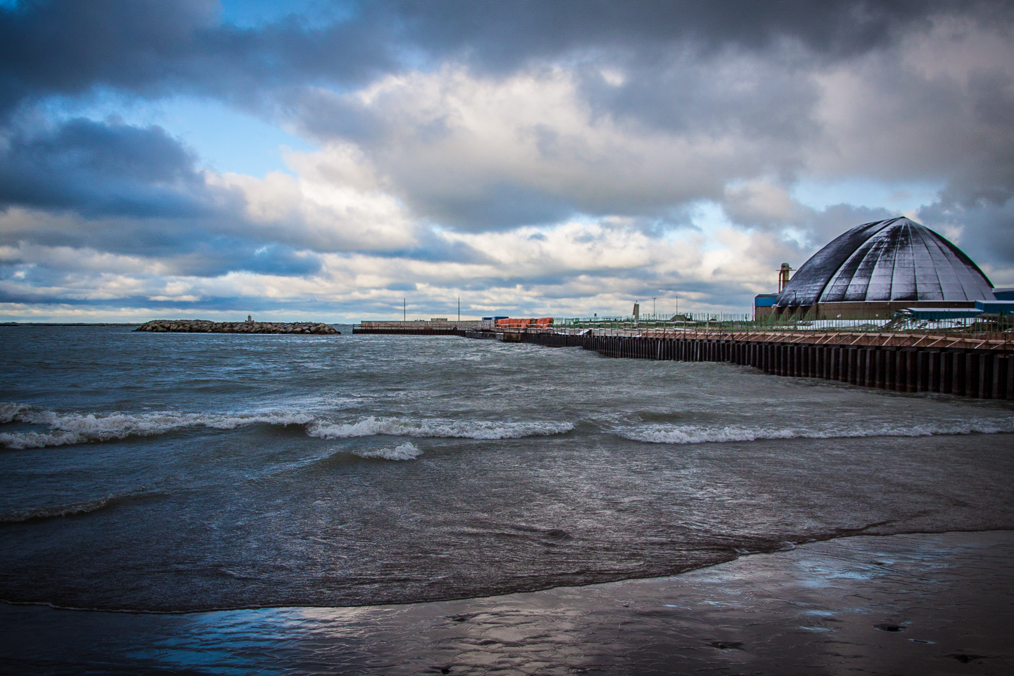
Goderich Port After Sunset
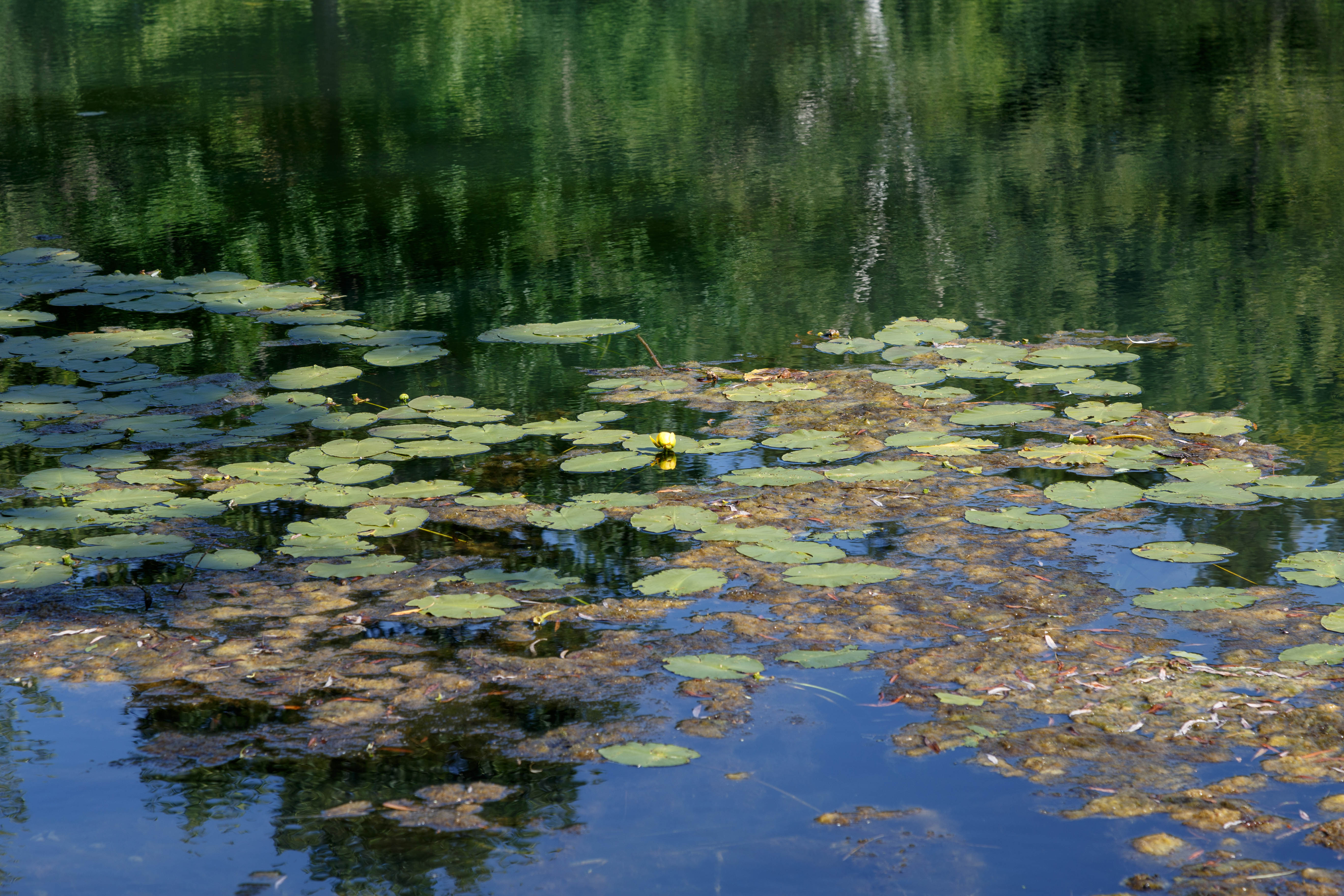
Lily Pads

Washed Up
On the way home last evening from Londesboro, ON Canada, Sept. 4-09-10

The Lone Fisherman.
Fish Skeleton Hanging at Beach
Primeval ice jaws
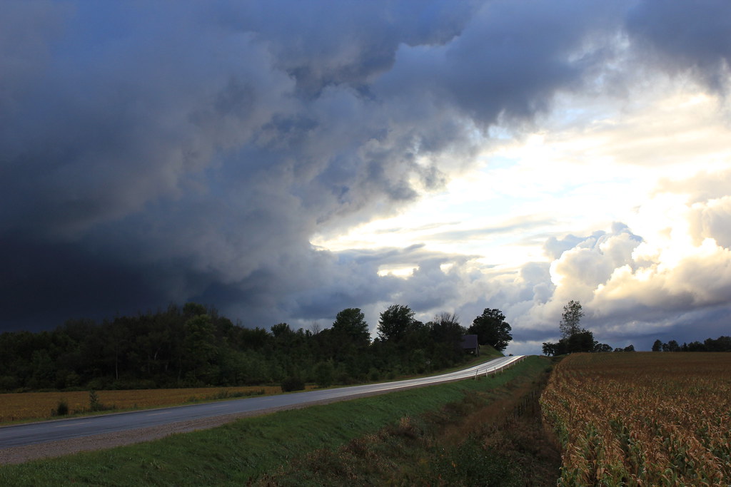
Tornado Storm Clouds
Pond on Falls Reserve
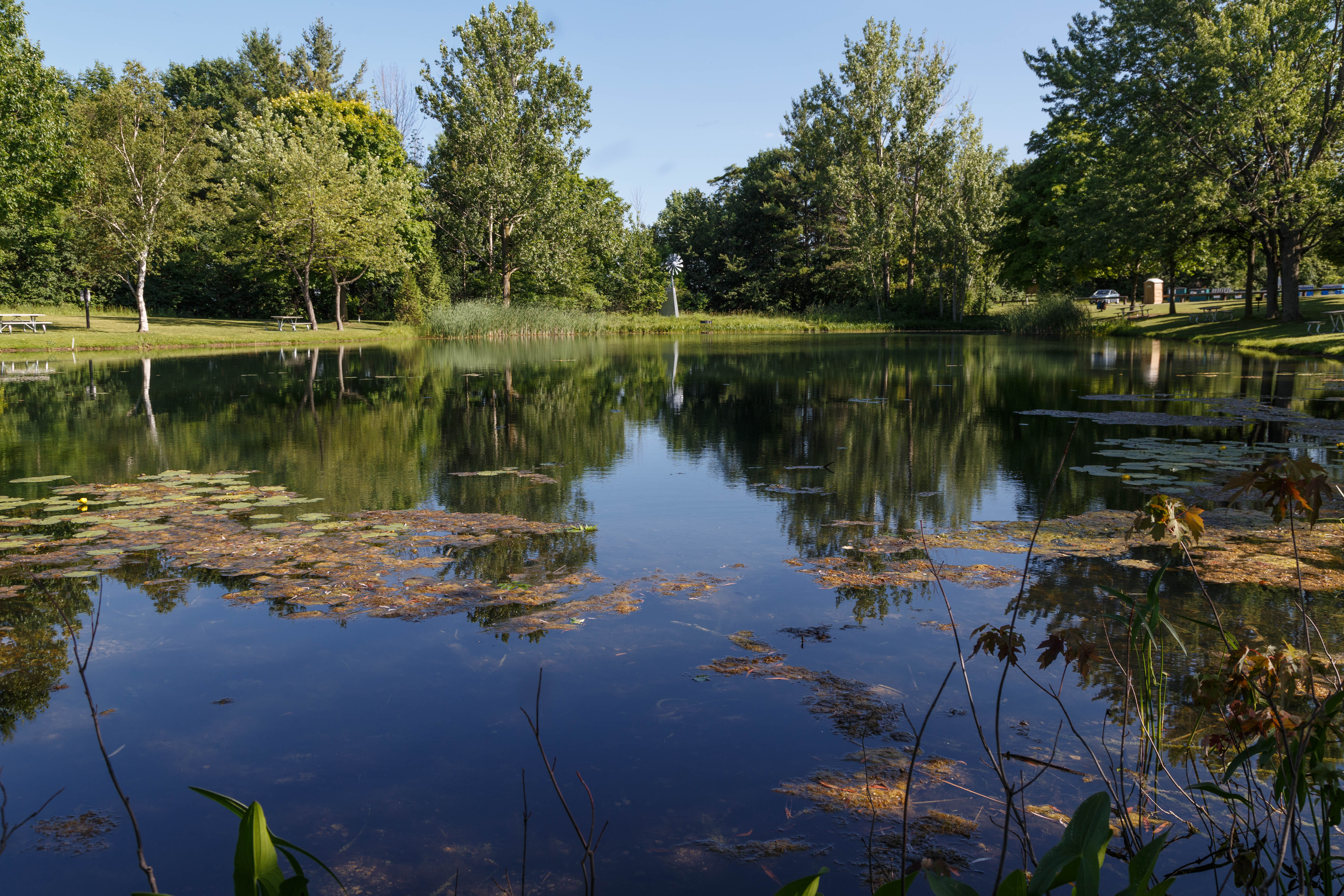
Pond on Falls Reserve

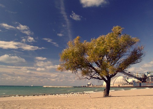
Wind-Blown Goderich Beach Tree
Goderich fence

Forest Stroll

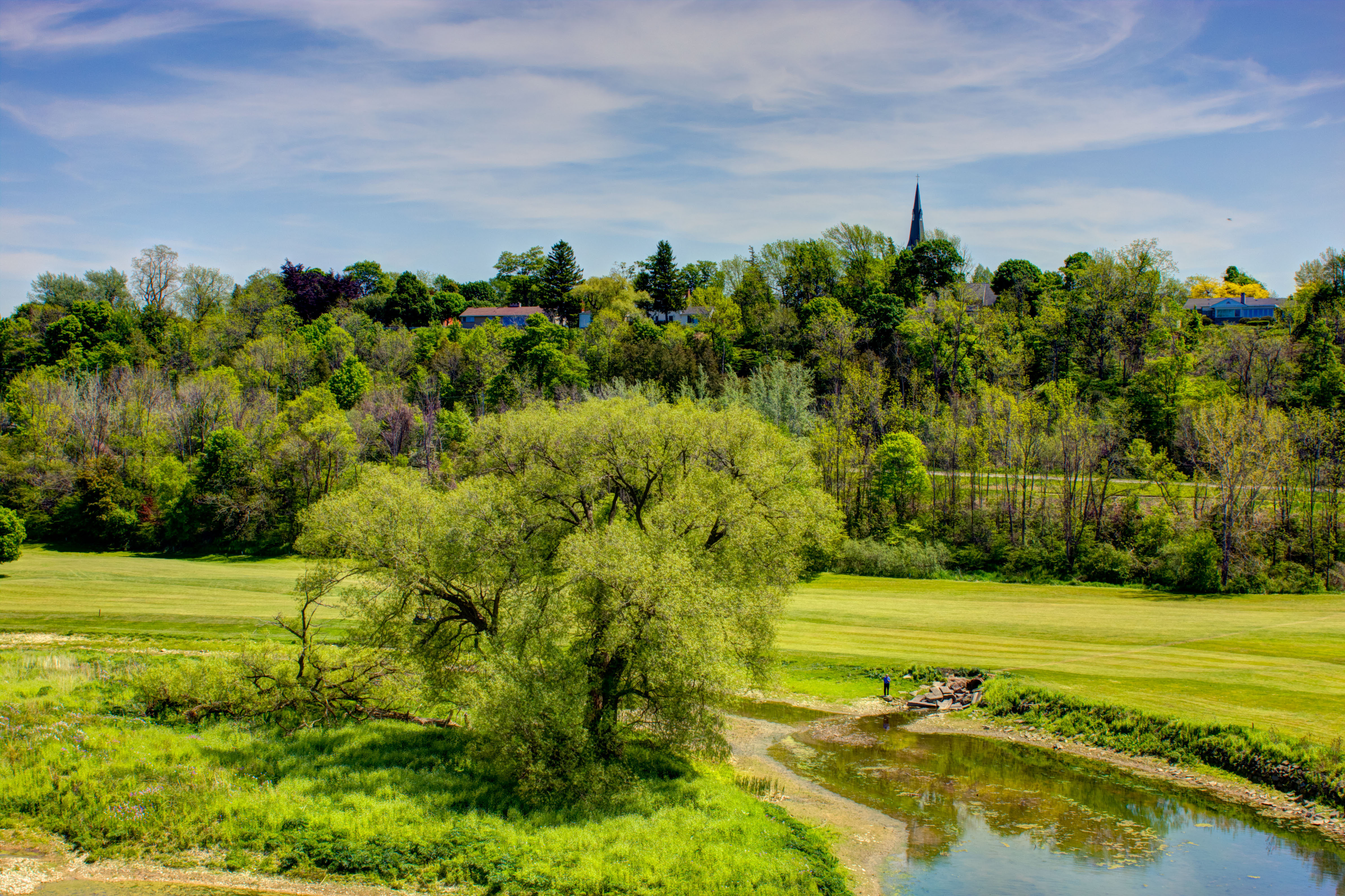
Spring Reflections

Looking west towards Londesboro, ON Canada
Maitland 2
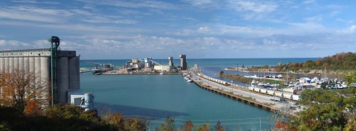
Goderich Harbour
Topographic Map of Airport Rd, Goderich, ON N7A 3Y2, Canada
Find elevation by address:

Places near Airport Rd, Goderich, ON N7A 3Y2, Canada:
Goderich
Ruth Street
N7a 3x5
184 Brimicombe Crescent
Blacks Point Rd, Goderich, ON N7A 3X8, Canada
Benmiller Inn & Spa
Huron County
37198 Hawkins Rd
La Vrangue Drive
Saratoga Line, Auburn, ON N0M 1E0, Canada
Dungannon
50 Dungannon Rd, Dungannon, ON N0M 1R0, Canada
Ashfield-colborne-wawanosh
Bluewater Hwy, Goderich, ON N7A 3X9, Canada
Belgrave Rd, Lucknow, ON N0G 2H0, Canada
Kerrys Line, Lucknow, ON N0G 2H0, Canada
Kincardine
Inverhuron Provincial Park
177 Tie Rd
3097 S Old Lakeshore Rd
Recent Searches:
- Elevation of 62 Abbey St, Marshfield, MA, USA
- Elevation of Fernwood, Bradenton, FL, USA
- Elevation of Felindre, Swansea SA5 7LU, UK
- Elevation of Leyte Industrial Development Estate, Isabel, Leyte, Philippines
- Elevation of W Granada St, Tampa, FL, USA
- Elevation of Pykes Down, Ivybridge PL21 0BY, UK
- Elevation of Jalan Senandin, Lutong, Miri, Sarawak, Malaysia
- Elevation of Bilohirs'k
- Elevation of 30 Oak Lawn Dr, Barkhamsted, CT, USA
- Elevation of Luther Road, Luther Rd, Auburn, CA, USA