Elevation of Dry Branch Rd, Morehead, KY, USA
Location: United States > Kentucky > Rowan County > Morehead >
Longitude: -83.369860
Latitude: 38.3156694
Elevation: 271m / 889feet
Barometric Pressure: 98KPa
Elevation Map:
Satellite Map:
Related Photos:
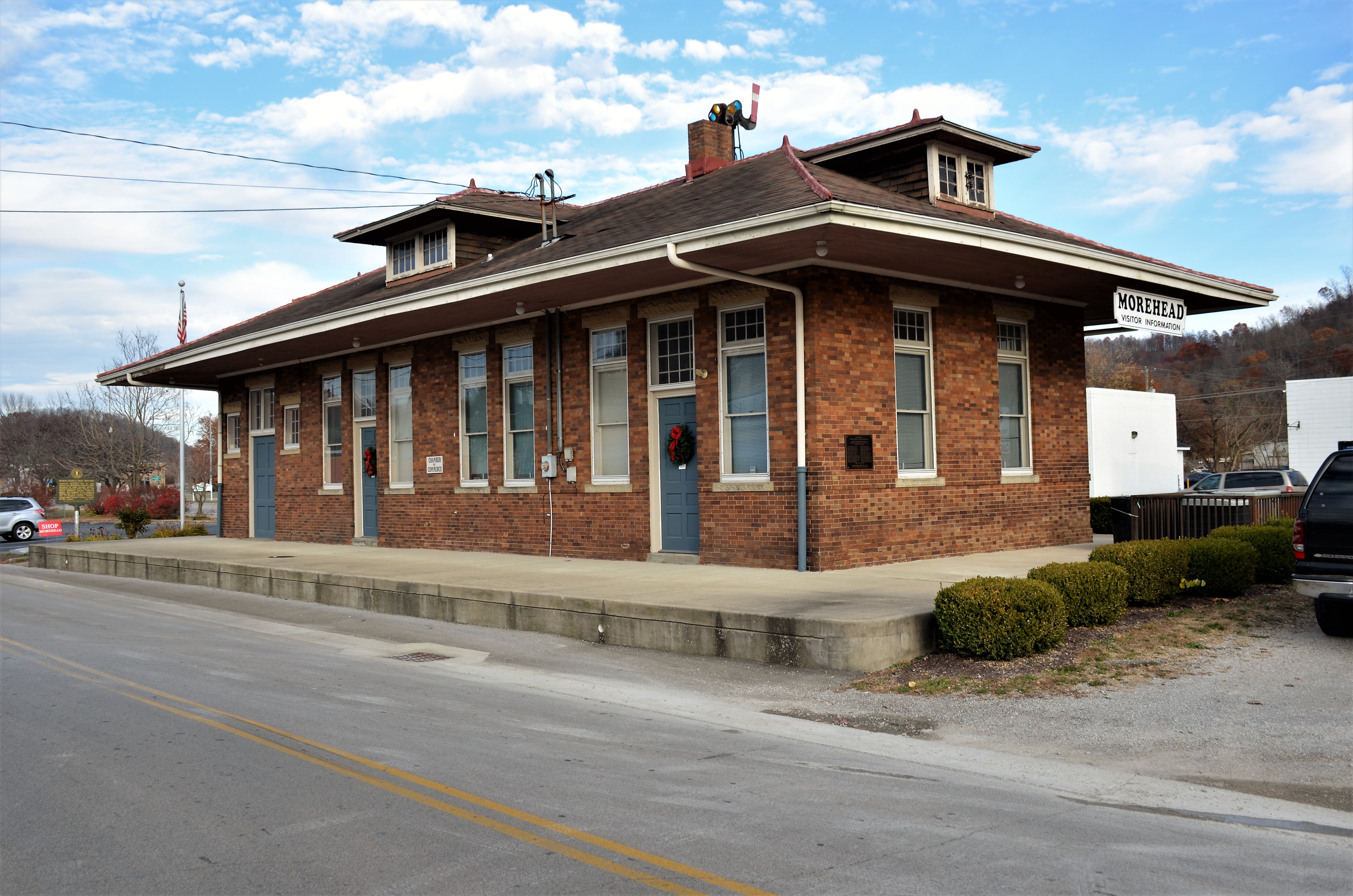
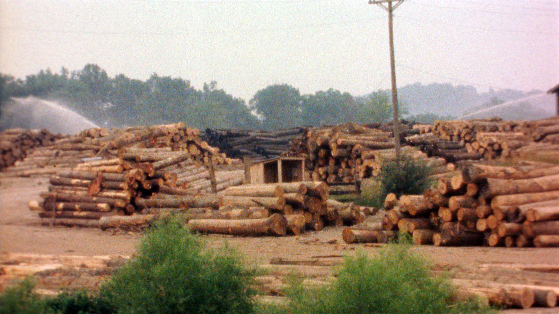
Chesapeake & Ohio Railway, Kentucky, Morehead
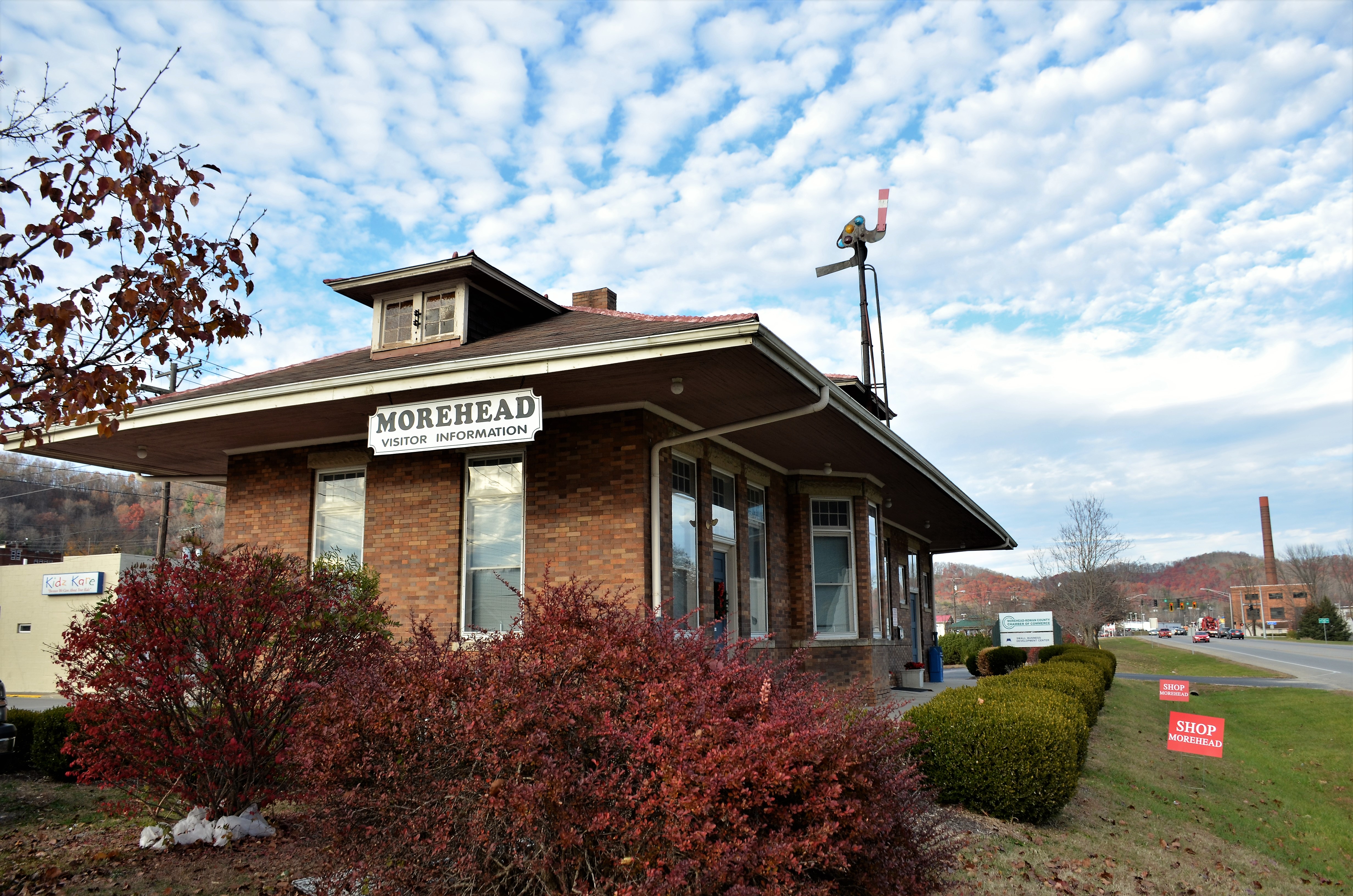
Chesapeake & Ohio Railway, Kentucky, Morehead
I Said Go

MVC-295F
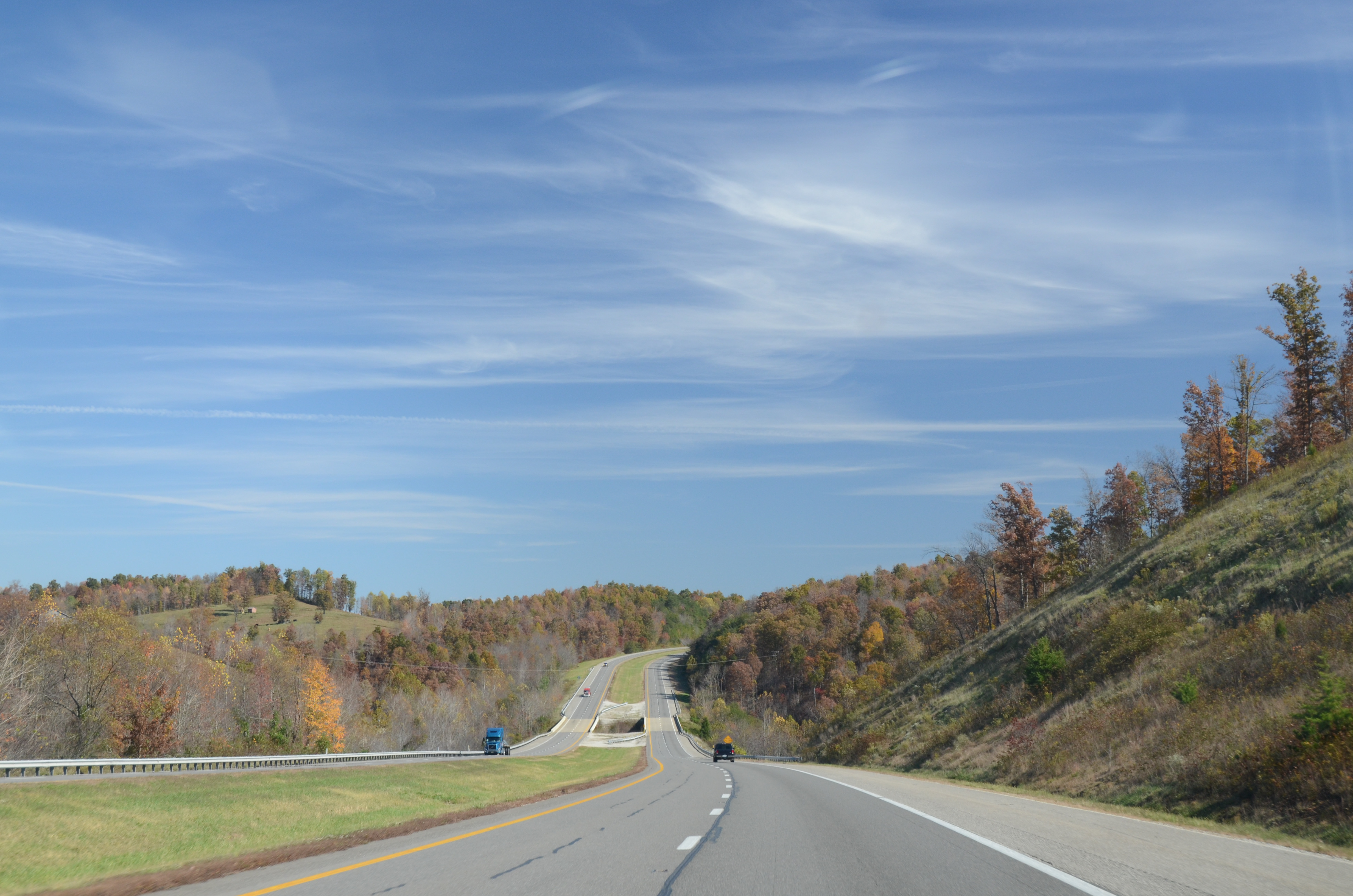
En Route to West Virginia
Kodak 7240
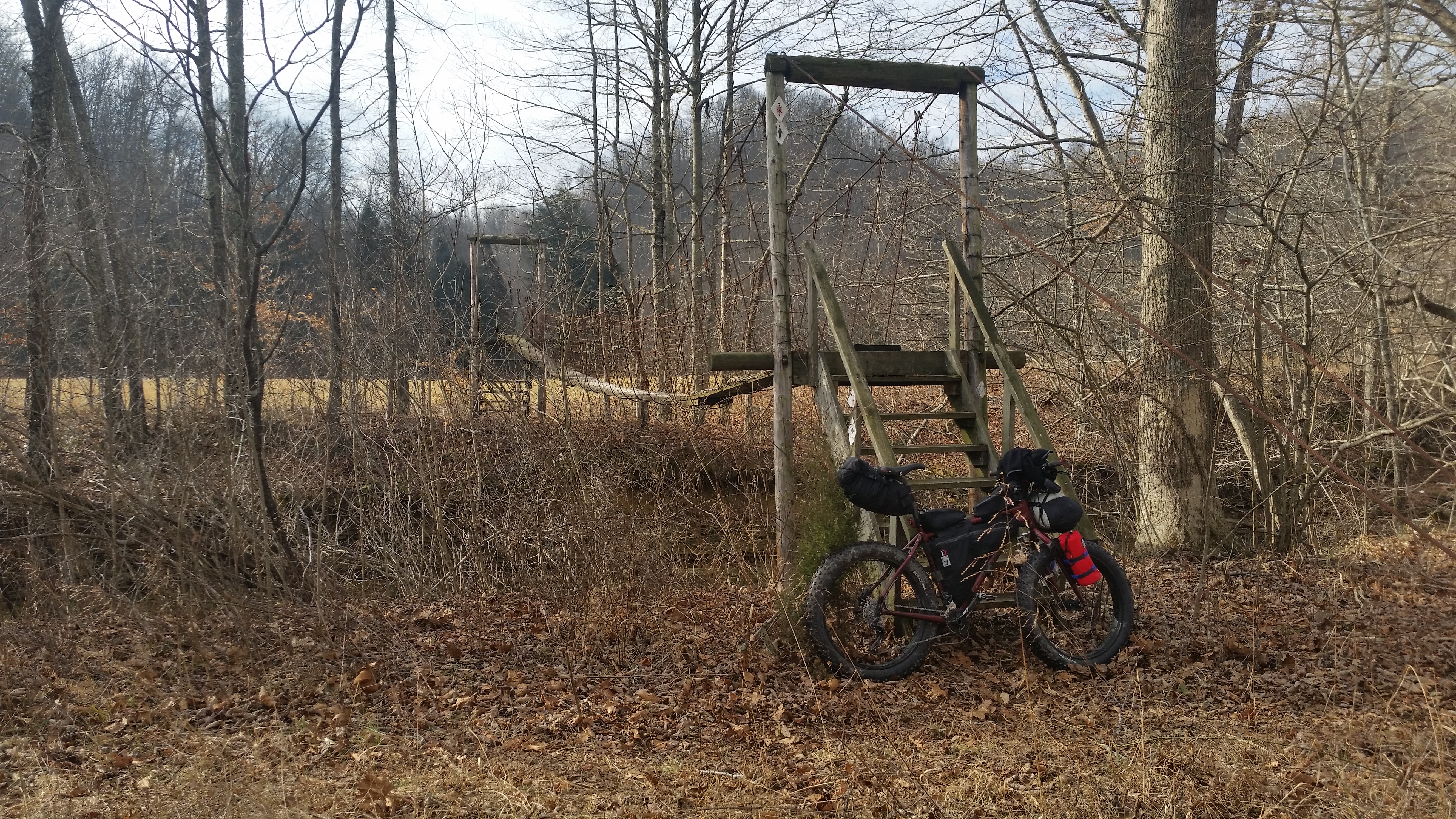
The decent into Morehead off the Sheltowee Trace Trail . This one would have my brakes literally smoking.
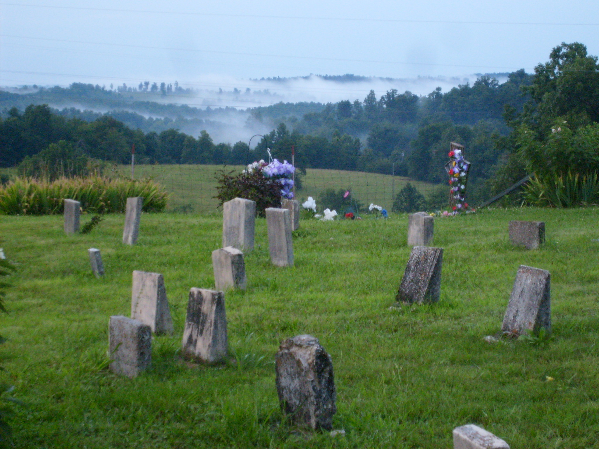
Steagall Cemetary - Lost Hills Rd
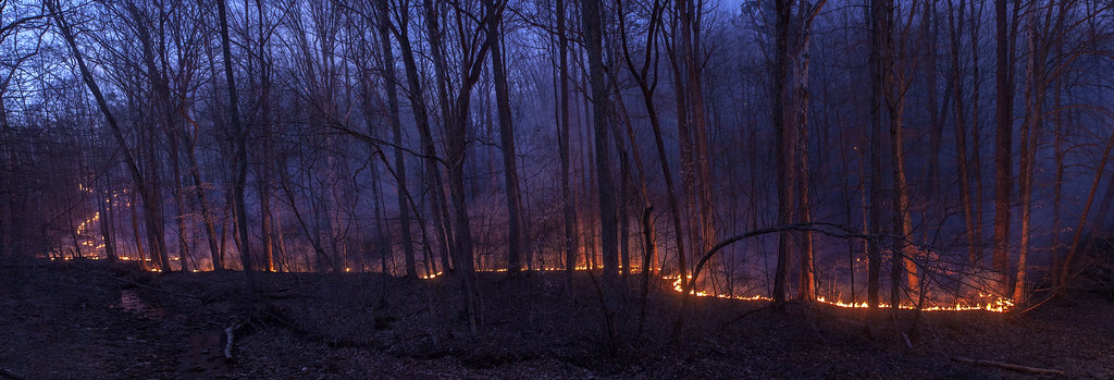
Rodburn park fire panorama

The decent into Morehead off the Sheltowee Trace Trail . This one would have my brakes literally smoking.
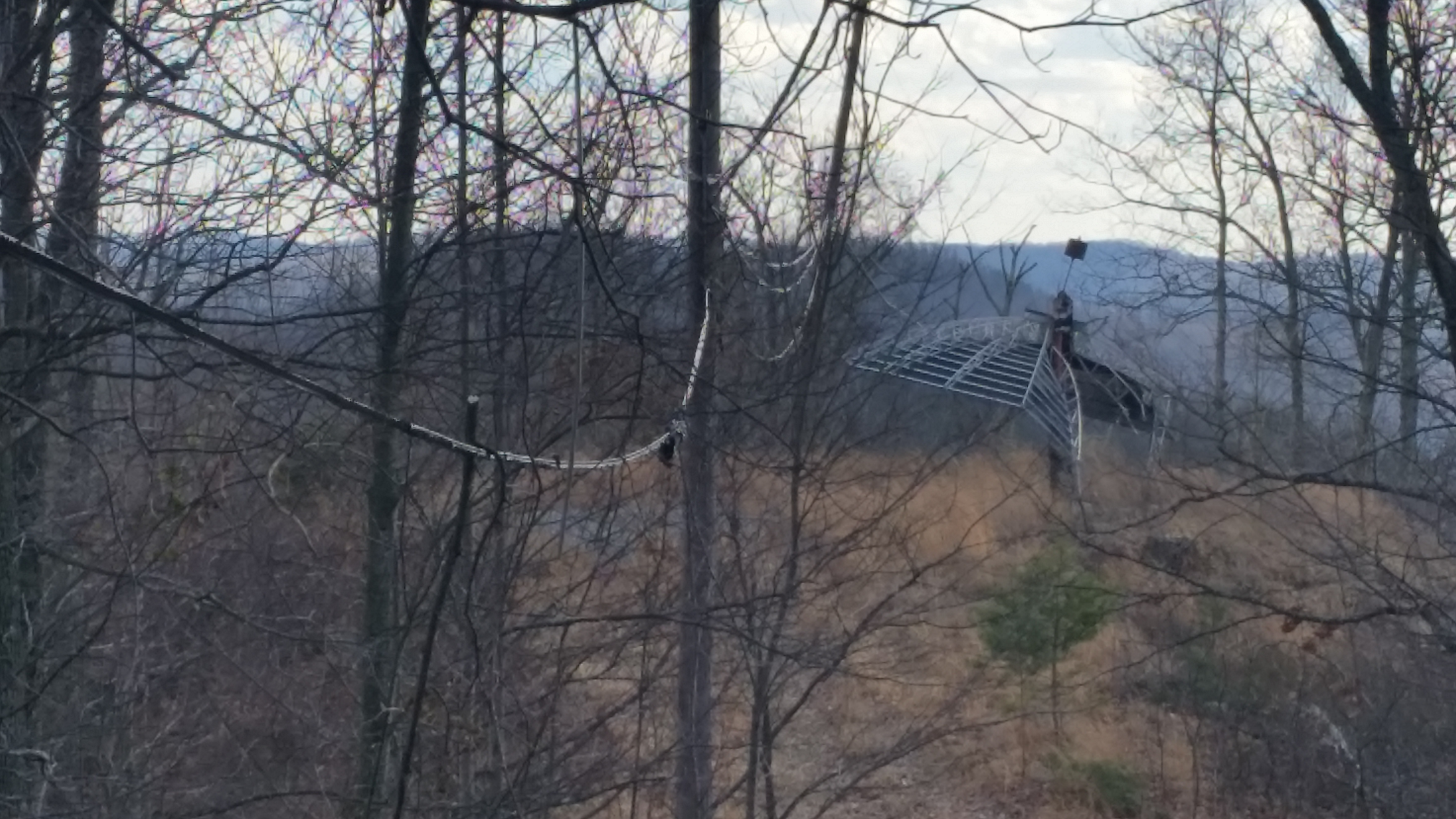
Sheltowee Trace Trail
Topographic Map of Dry Branch Rd, Morehead, KY, USA
Find elevation by address:

Places near Dry Branch Rd, Morehead, KY, USA:
1370 Dry Branch Rd
Dry Branch Rd, Morehead, KY, USA
Lakeview Heights, KY, USA
E Main St, Morehead, KY, USA
Shilo Drive
Morehead State University
Morehead
3980 Ky-32
64 Nolin Ct
Crain Creek Road
555 Viking Dr
555 Viking Dr
10 Newcastle Ln
Rowan County
444 Forest Hills Dr
76 Limousine Ln
KY-, Hillsboro, KY, USA
Lakeview Heights
Freestone Rd, Morehead, KY, USA
1366 Lower Rock Lick Rd
Recent Searches:
- Elevation of Elwyn Dr, Roanoke Rapids, NC, USA
- Elevation of Congressional Dr, Stevensville, MD, USA
- Elevation of Bellview Rd, McLean, VA, USA
- Elevation of Stage Island Rd, Chatham, MA, USA
- Elevation of Shibuya Scramble Crossing, 21 Udagawacho, Shibuya City, Tokyo -, Japan
- Elevation of Jadagoniai, Kaunas District Municipality, Lithuania
- Elevation of Pagonija rock, Kranto 7-oji g. 8"N, Kaunas, Lithuania
- Elevation of Co Rd 87, Jamestown, CO, USA
- Elevation of Tenjo, Cundinamarca, Colombia
- Elevation of Côte-des-Neiges, Montreal, QC H4A 3J6, Canada