Elevation of Dry Branch Rd, Morehead, KY, USA
Location: United States > Kentucky > Rowan County > Morehead >
Longitude: -83.353587
Latitude: 38.3189479
Elevation: 313m / 1027feet
Barometric Pressure: 98KPa
Elevation Map:
Satellite Map:
Related Photos:
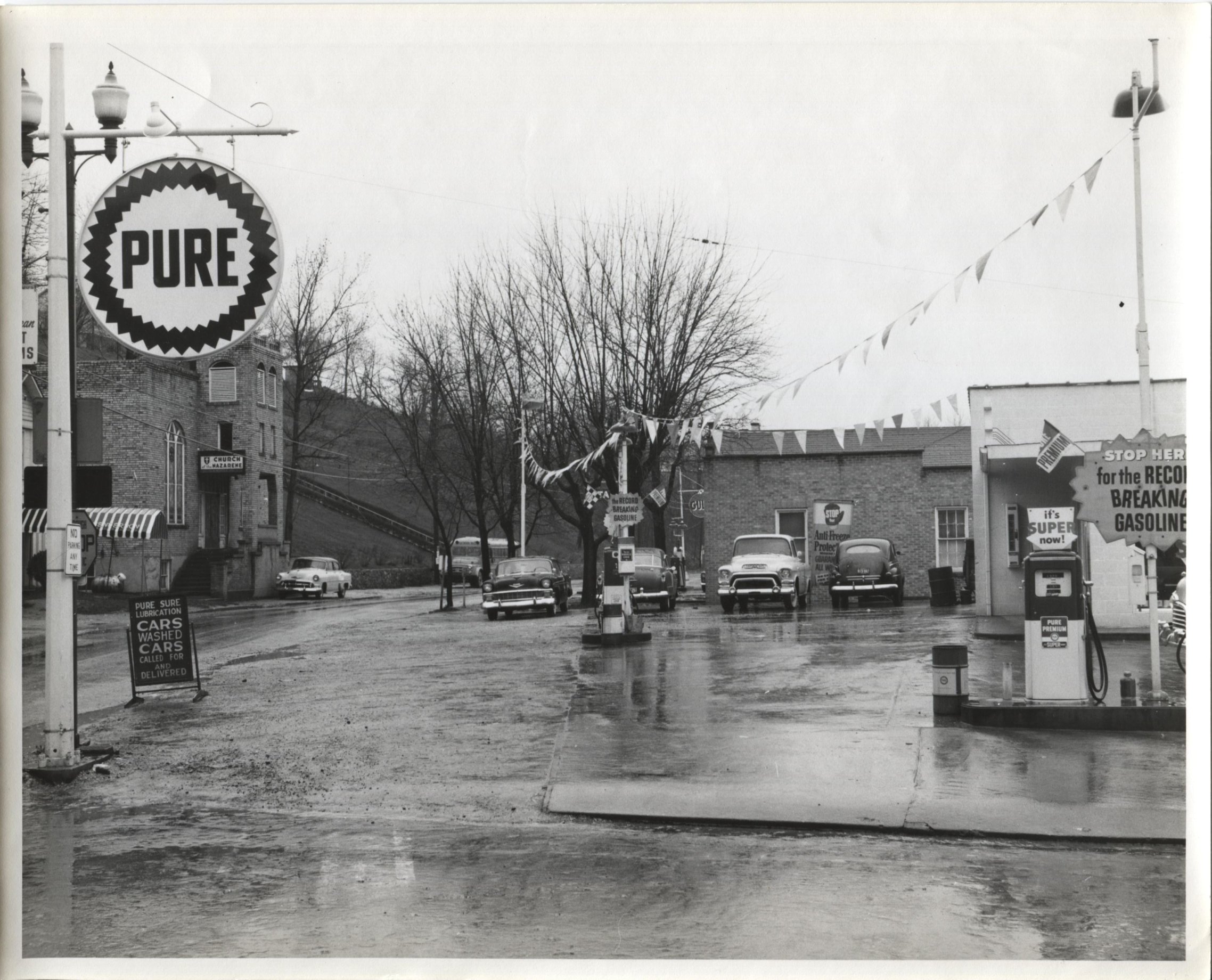
Jack Waggoner Pure Oil Station - Olive Hill KY
I Said Go
En Route to West Virginia

6-6-15 067
Kodak 7240
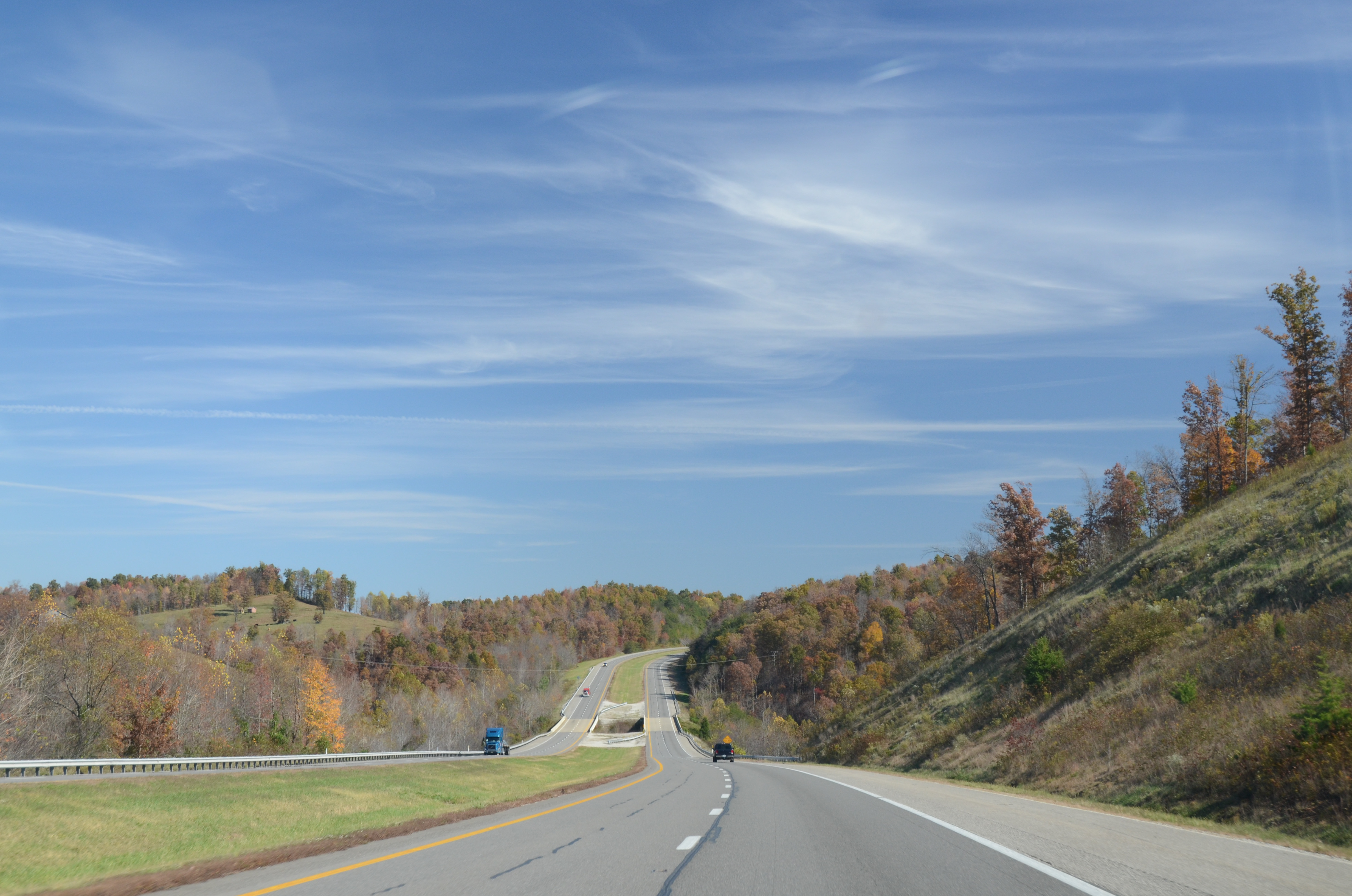
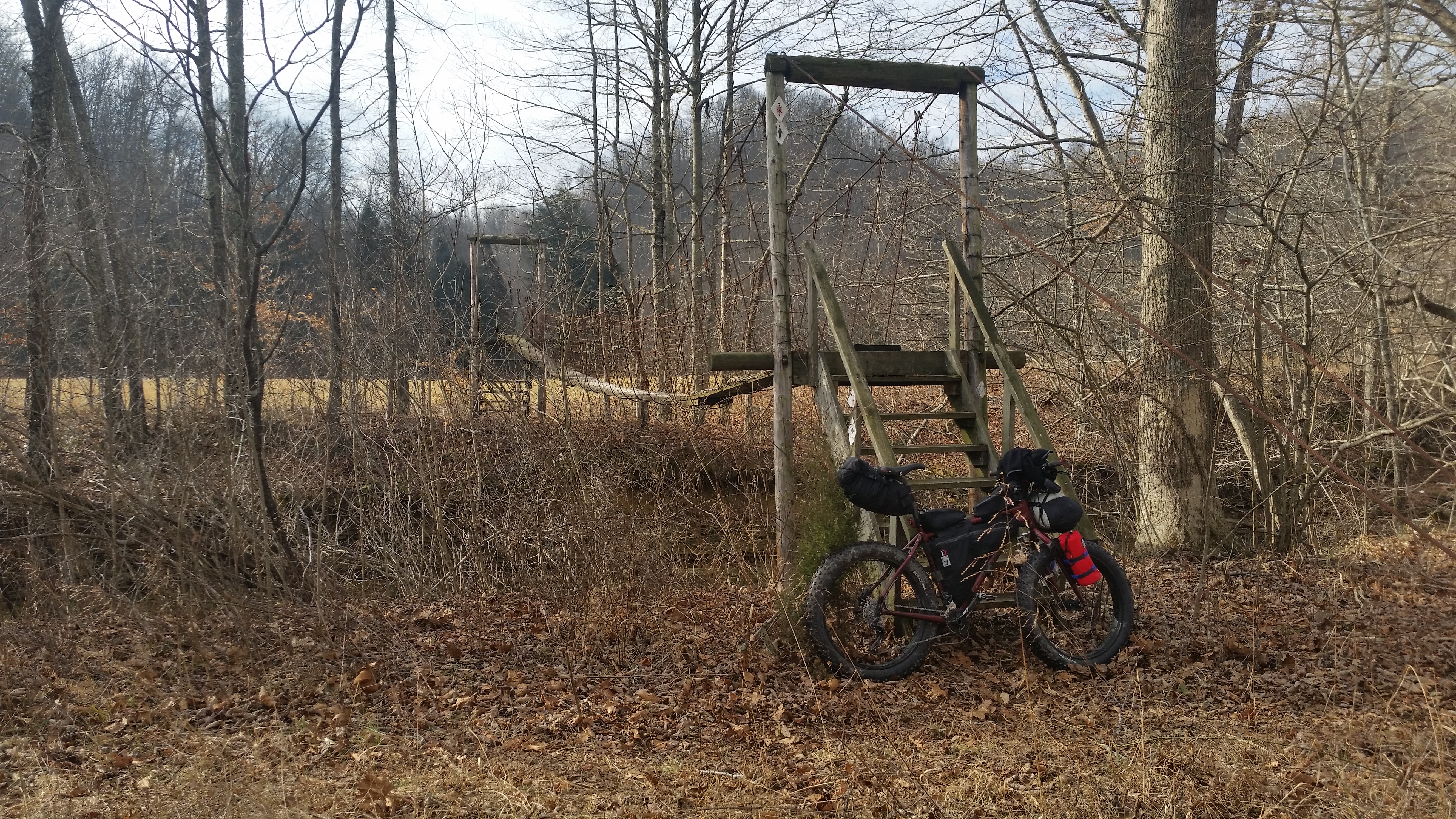
The decent into Morehead off the Sheltowee Trace Trail . This one would have my brakes literally smoking.

The decent into Morehead off the Sheltowee Trace Trail . This one would have my brakes literally smoking.
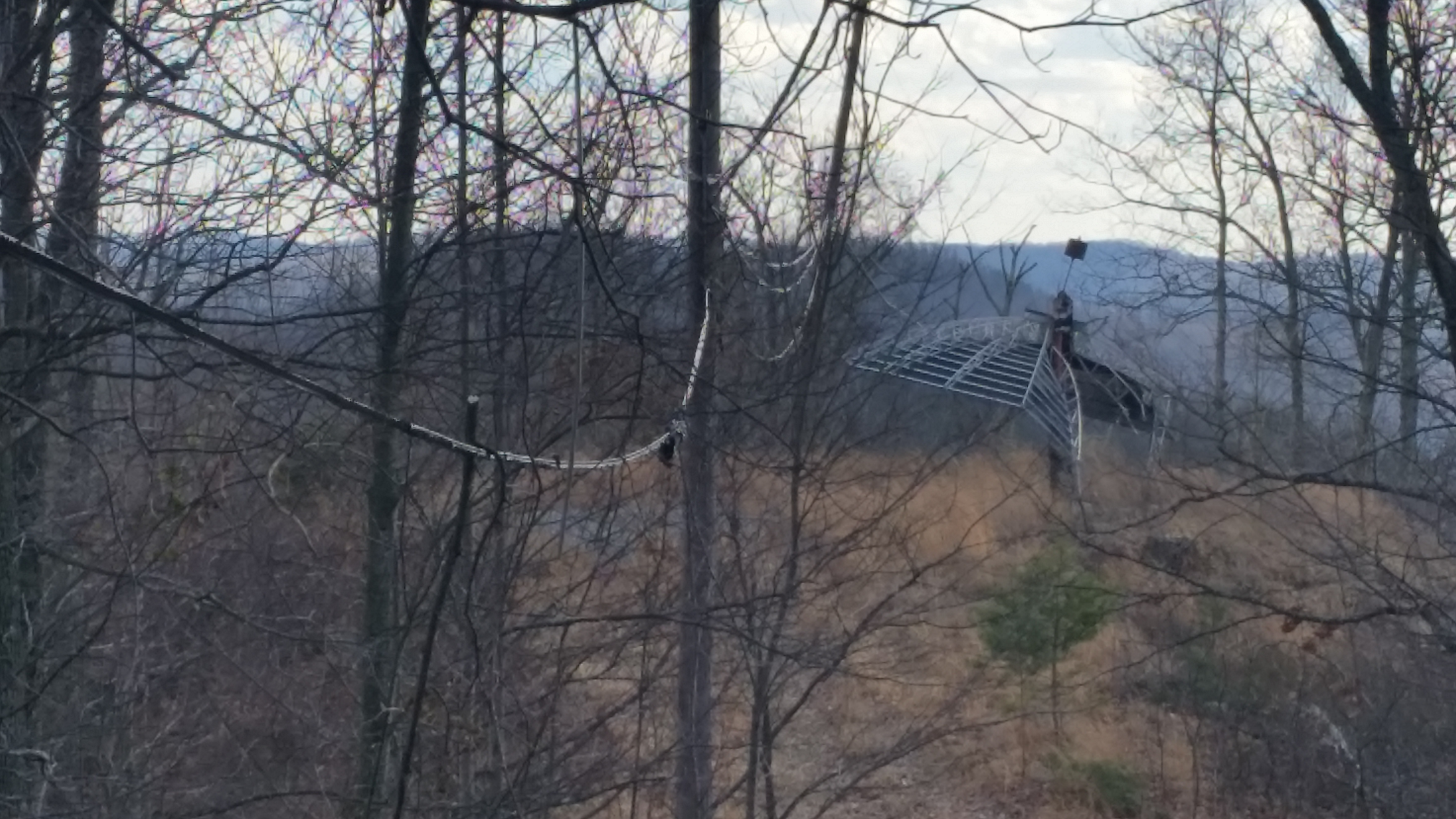
Sheltowee Trace Trail

6-6-15 076

To Wolf Gap West Virginia
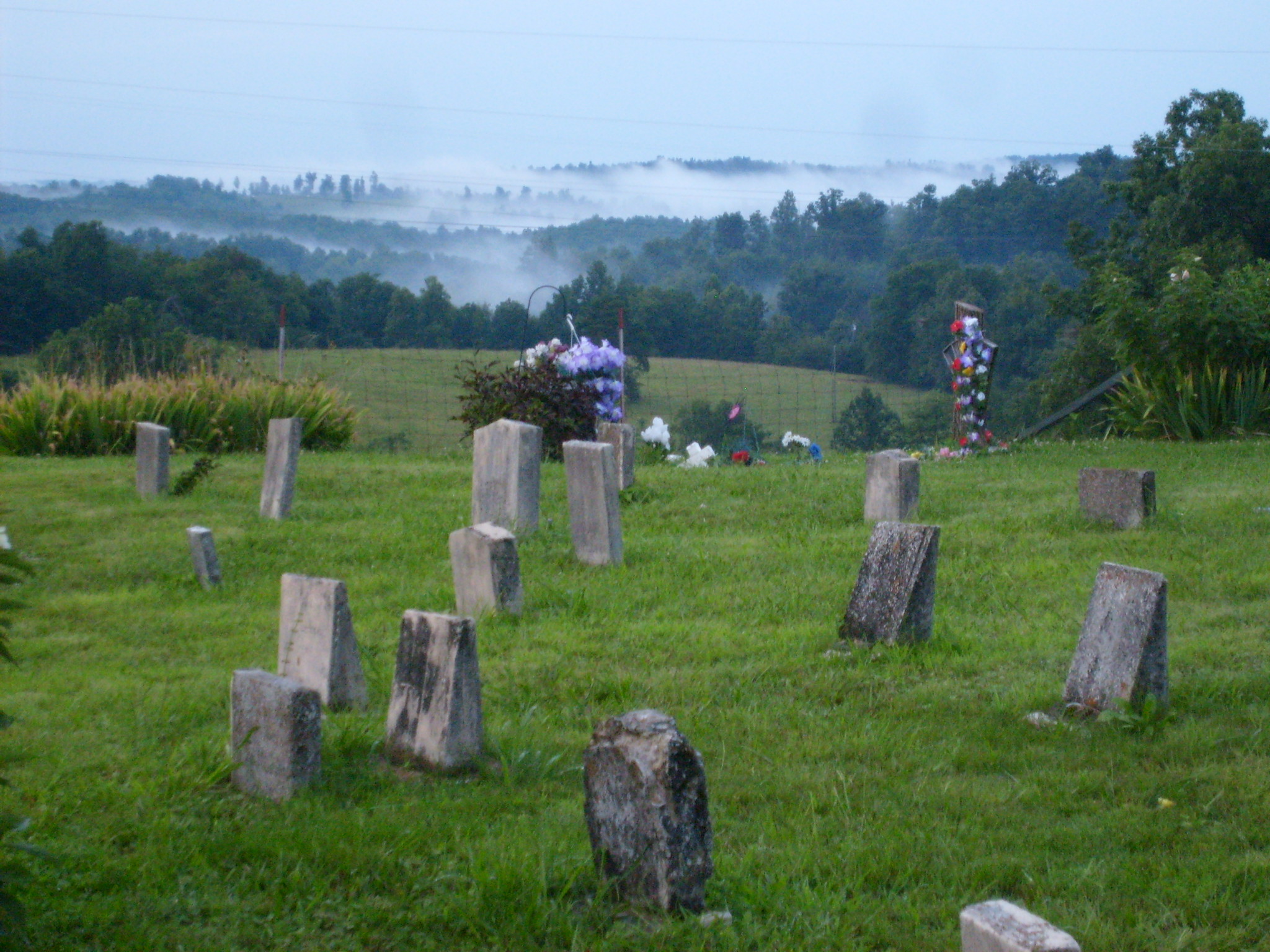
Steagall Cemetary - Lost Hills Rd
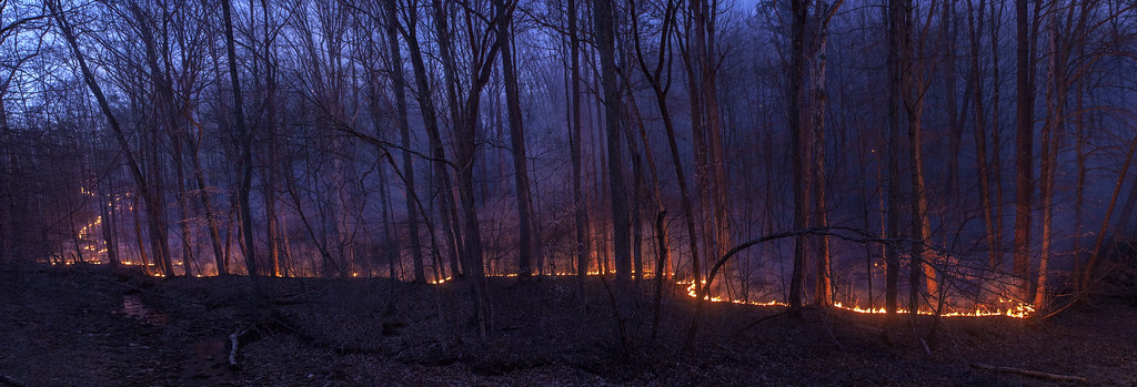
Rodburn park fire panorama
Topographic Map of Dry Branch Rd, Morehead, KY, USA
Find elevation by address:

Places near Dry Branch Rd, Morehead, KY, USA:
1370 Dry Branch Rd
1260 Dry Branch Rd
Lakeview Heights, KY, USA
E Main St, Morehead, KY, USA
Shilo Drive
Morehead State University
Morehead
3980 Ky-32
64 Nolin Ct
555 Viking Dr
555 Viking Dr
Crain Creek Road
10 Newcastle Ln
Rowan County
444 Forest Hills Dr
76 Limousine Ln
KY-, Hillsboro, KY, USA
Lakeview Heights
Freestone Rd, Morehead, KY, USA
1366 Lower Rock Lick Rd
Recent Searches:
- Elevation of Corso Fratelli Cairoli, 35, Macerata MC, Italy
- Elevation of Tallevast Rd, Sarasota, FL, USA
- Elevation of 4th St E, Sonoma, CA, USA
- Elevation of Black Hollow Rd, Pennsdale, PA, USA
- Elevation of Oakland Ave, Williamsport, PA, USA
- Elevation of Pedrógão Grande, Portugal
- Elevation of Klee Dr, Martinsburg, WV, USA
- Elevation of Via Roma, Pieranica CR, Italy
- Elevation of Tavkvetili Mountain, Georgia
- Elevation of Hartfords Bluff Cir, Mt Pleasant, SC, USA