Elevation of Crain Creek Road, Crain Creek Rd, Kentucky, USA
Location: United States > Kentucky > Lewis County > Wallingford >
Longitude: -83.517662
Latitude: 38.2749206
Elevation: 284m / 932feet
Barometric Pressure: 98KPa
Elevation Map:
Satellite Map:
Related Photos:

House of Cards

Engine Engine # 9

Church view through the Goddard-White Bridge

Chesapeake & Ohio Railway, Kentucky, Morehead

I Said Go

Creation Falls 3, Daniel Boone National Forest, Wolfe Co, KY

One Dead, One Living

MVC-295F

Grange City Bridge 1
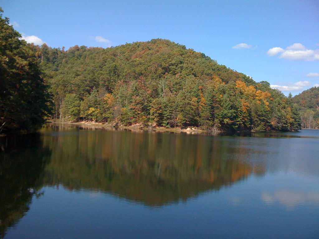
MSU Lake

Kodak 7240

The decent into Morehead off the Sheltowee Trace Trail . This one would have my brakes literally smoking.

Old Country Barn

Mulch Plant

Rodburn park fire panorama

The decent into Morehead off the Sheltowee Trace Trail . This one would have my brakes literally smoking.

Sheltowee Trace Trail

Goddard Bridge 3
Topographic Map of Crain Creek Road, Crain Creek Rd, Kentucky, USA
Find elevation by address:

Places near Crain Creek Road, Crain Creek Rd, Kentucky, USA:
Shilo Drive
10 Newcastle Ln
64 Nolin Ct
76 Limousine Ln
KY-, Hillsboro, KY, USA
3980 Ky-32
555 Viking Dr
555 Viking Dr
1366 Lower Rock Lick Rd
444 Forest Hills Dr
Rowan County
Morehead State University
Lakeview Heights
Morehead
Freestone Rd, Morehead, KY, USA
E Main St, Morehead, KY, USA
Lakeview Heights, KY, USA
Hillsboro
KY-, Hillsboro, KY, USA
2175 Johnson School Rd
Recent Searches:
- Elevation of Congressional Dr, Stevensville, MD, USA
- Elevation of Bellview Rd, McLean, VA, USA
- Elevation of Stage Island Rd, Chatham, MA, USA
- Elevation of Shibuya Scramble Crossing, 21 Udagawacho, Shibuya City, Tokyo -, Japan
- Elevation of Jadagoniai, Kaunas District Municipality, Lithuania
- Elevation of Pagonija rock, Kranto 7-oji g. 8"N, Kaunas, Lithuania
- Elevation of Co Rd 87, Jamestown, CO, USA
- Elevation of Tenjo, Cundinamarca, Colombia
- Elevation of Côte-des-Neiges, Montreal, QC H4A 3J6, Canada
- Elevation of Bobcat Dr, Helena, MT, USA