Elevation map of Division No. 1, MB, Canada
Location: Canada > Manitoba >
Longitude: -95.796275
Latitude: 49.7099236
Elevation: 297m / 974feet
Barometric Pressure: 98KPa
Elevation Map:
Satellite Map:
Related Photos:
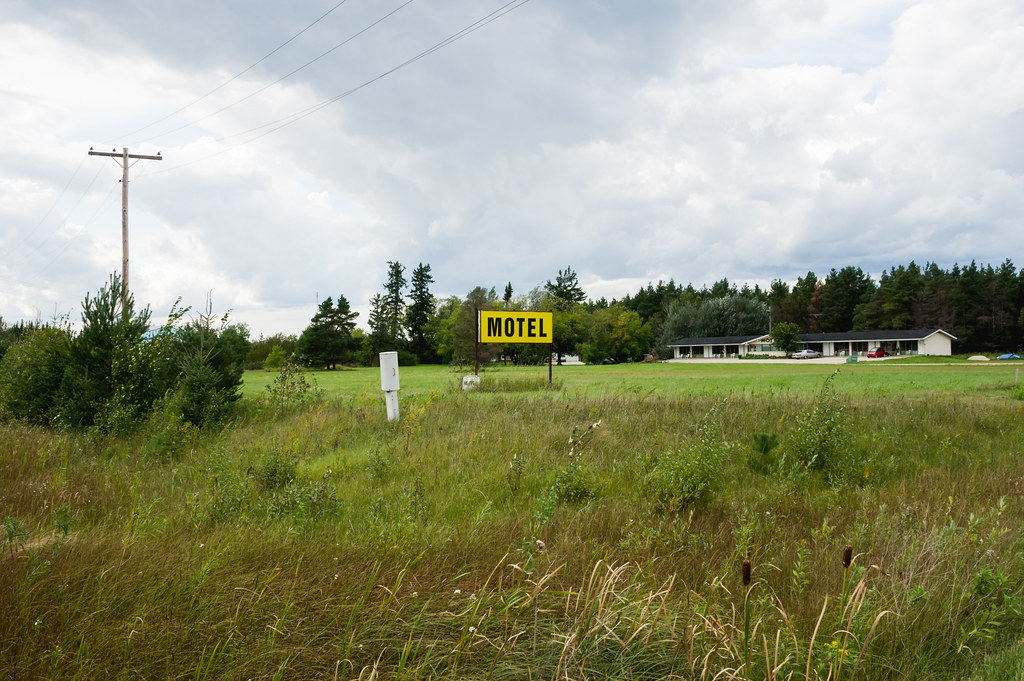
Riverside Motel
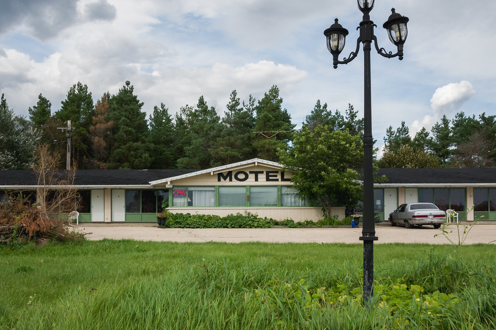
Riverside Motel

Mr.K
My Photo Stream-116

Female Purple Finch

Sundown plane trails drama
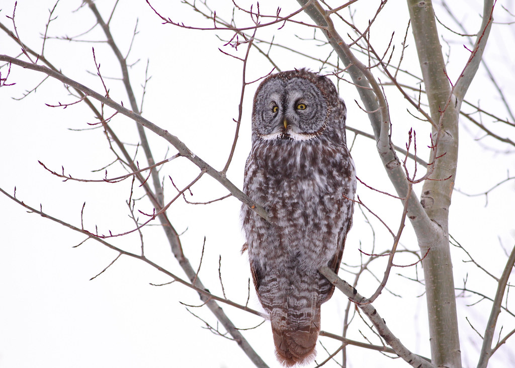
Prawda Great Gray Owl...#5
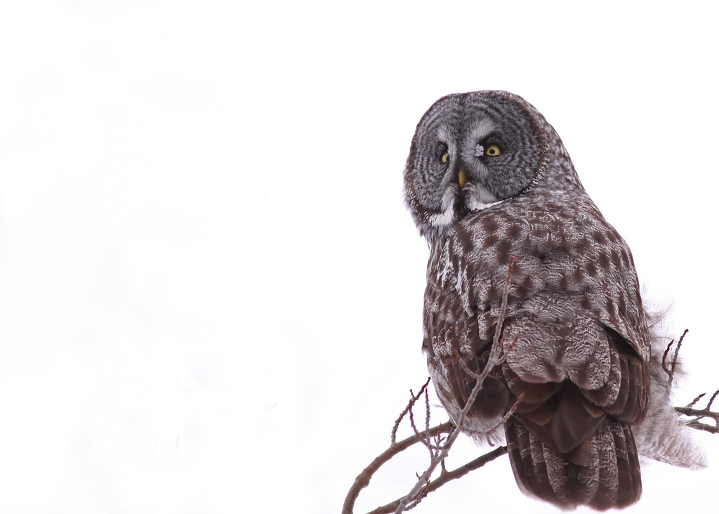
Prawda Great Gray Owl...#2
the road to honey
Cdn road trip. For best effect hold in front of face for 3hrs
Yellow and blue
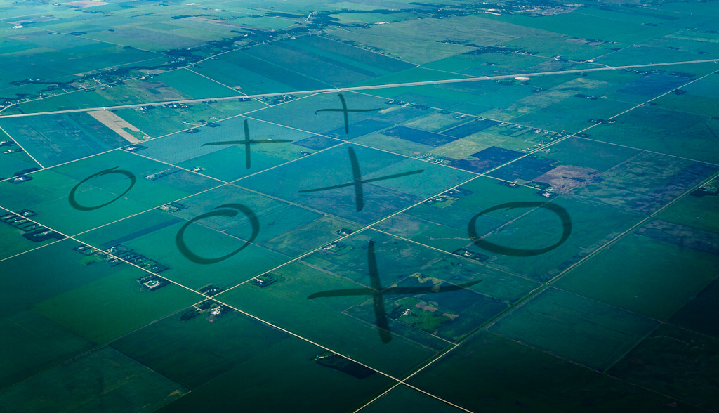
3.7.11 - What do Farmers do When They Are Bored?
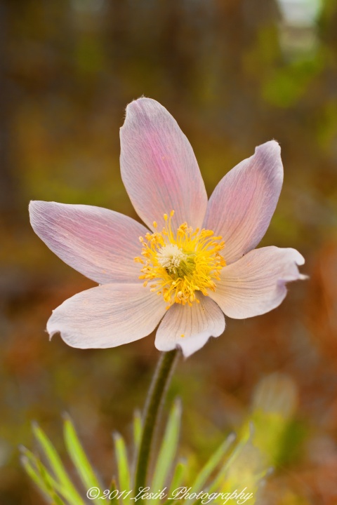
Manitoba Crocus
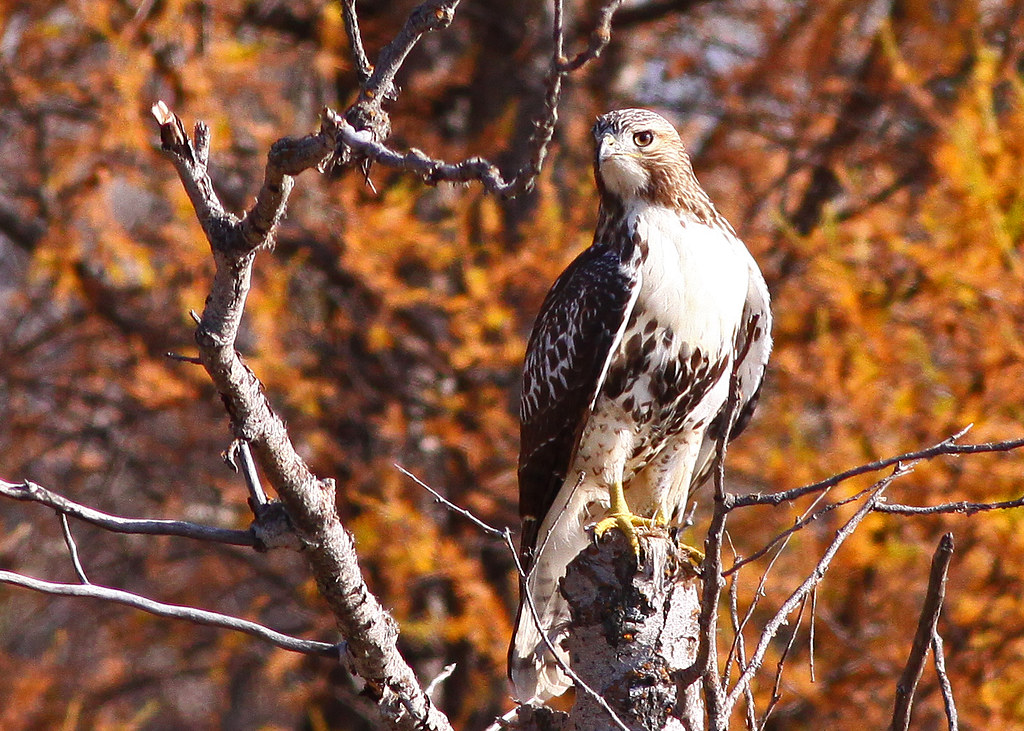
Red tailed Hawk
Topographic Map of Division No. 1, MB, Canada
Find elevation by address:

Places in Division No. 1, MB, Canada:
Alexander
Lac Du Bonnet
Division No. 1, Unorganized
Stuartburn
Elma
Reynolds
38 Woodland Dr, Menisino, MB R0A 1A0, Canada
Ridge Rd, Falcon Lake, MB R0E 0N0, Canada
Pinawa
East Braintree
Seven Sisters Falls
Places near Division No. 1, MB, Canada:
Hadashville
Reynolds
Elma
35023 Mb-15
Pinawa
Seven Sisters Falls
Centennial Place
Lac Du Bonnet
25 Park Ln, Marchand, MB R0A 0Z0, Canada
23 MB-, Richer, MB R0E 1S0, Canada
Richer
MB-11, Great Falls, MB R0E 0V0, Canada
Spruce Land Drive
Lac Du Bonnet
Ste-geneviève
15 Rue Desgagné
Ste. Anne
La Broquerie
La Broquerie
Division No. 12
Recent Searches:
- Elevation of Corso Fratelli Cairoli, 35, Macerata MC, Italy
- Elevation of Tallevast Rd, Sarasota, FL, USA
- Elevation of 4th St E, Sonoma, CA, USA
- Elevation of Black Hollow Rd, Pennsdale, PA, USA
- Elevation of Oakland Ave, Williamsport, PA, USA
- Elevation of Pedrógão Grande, Portugal
- Elevation of Klee Dr, Martinsburg, WV, USA
- Elevation of Via Roma, Pieranica CR, Italy
- Elevation of Tavkvetili Mountain, Georgia
- Elevation of Hartfords Bluff Cir, Mt Pleasant, SC, USA