Elevation of La Broquerie, MB R0A, Canada
Location: Canada > Manitoba > Division No. 2 > La Broquerie >
Longitude: -96.510146
Latitude: 49.521344
Elevation: 282m / 925feet
Barometric Pressure: 98KPa
Elevation Map:
Satellite Map:
Related Photos:
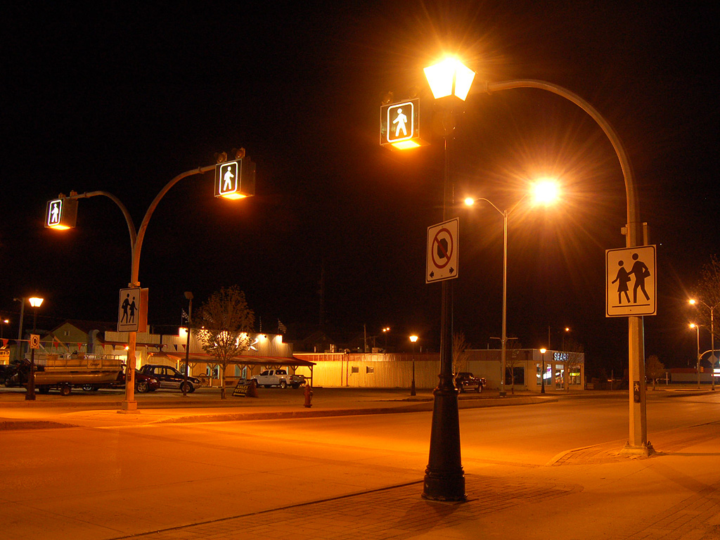
Walk, don't run
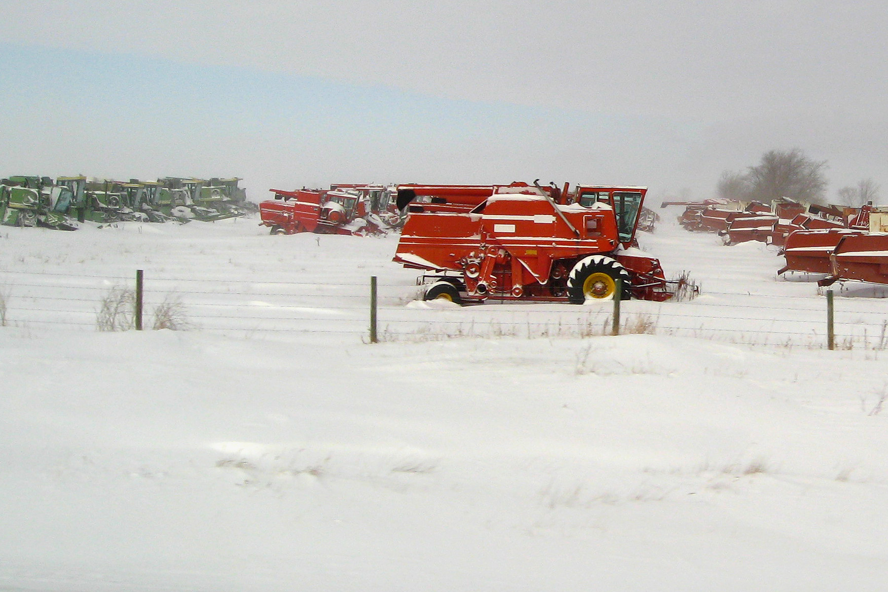
Bright red combine
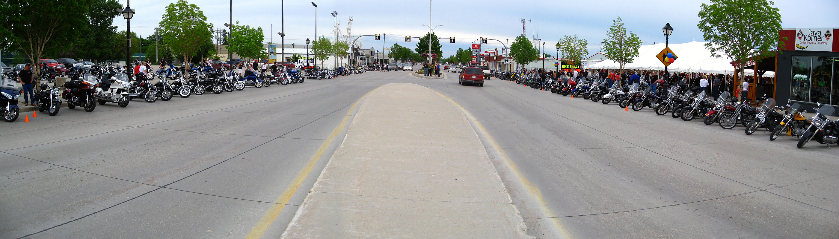
SAR bike rally (panorama)
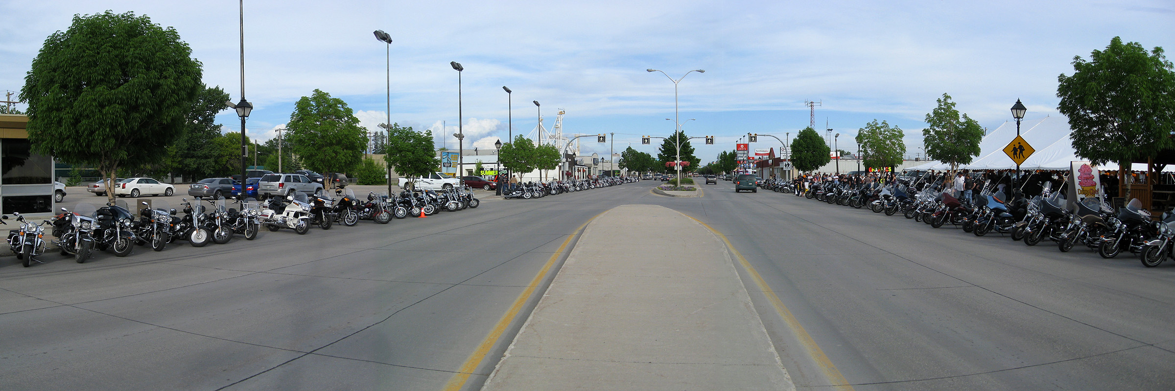
Panorama view of Main Street
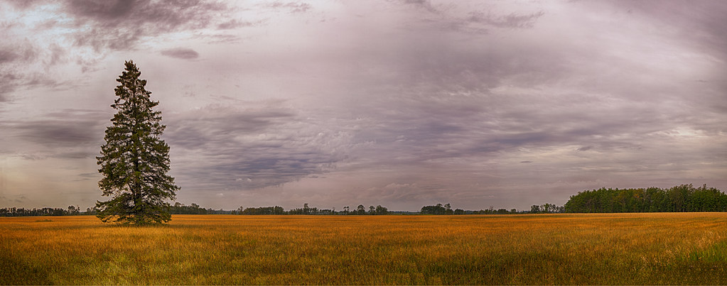
Last Tree Standing
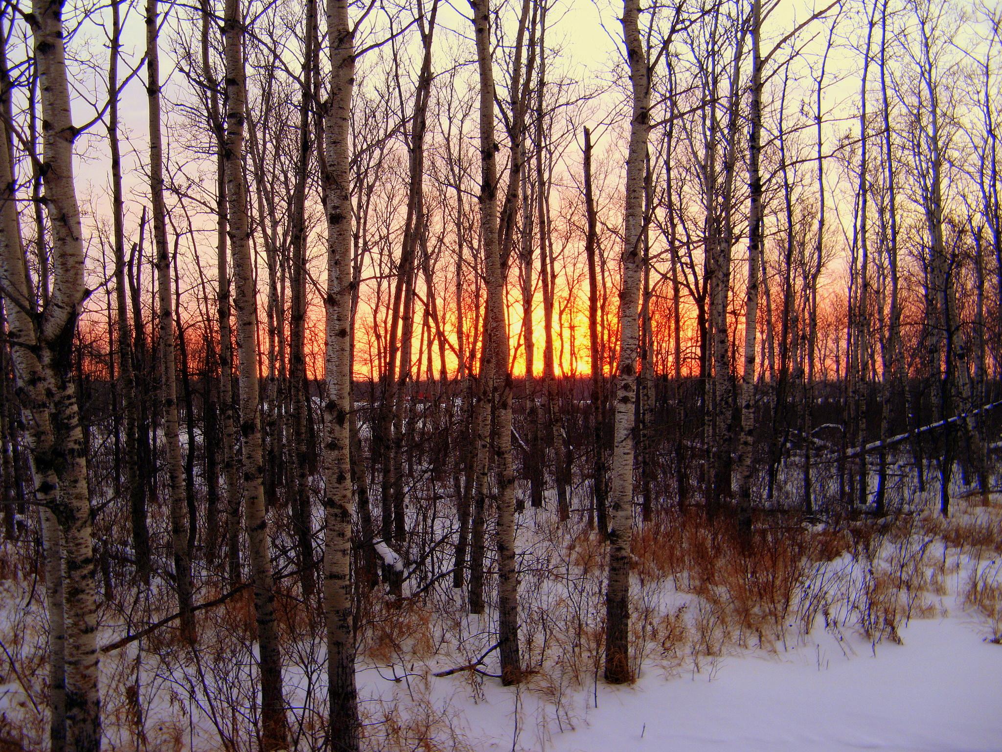
Strands of Elm

Photobombed by a bird #forrealz #cornfield #field #gold #sunny #fall #autumn #farm #nature #outdoors #prairies #manitoba #canada
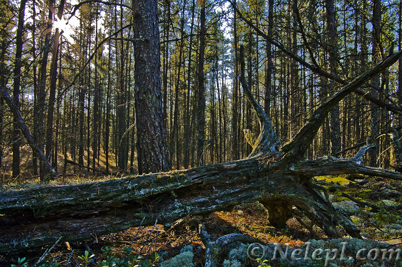
Forest Log

Vientiane Model
ad penner park jpeg
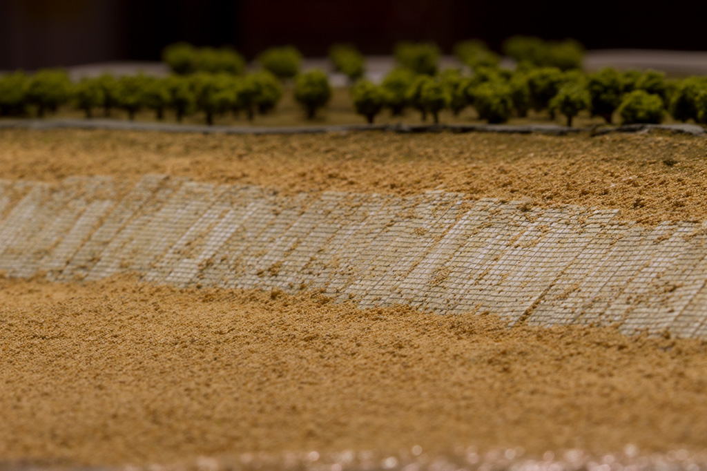
Vientiane Model

L Plate
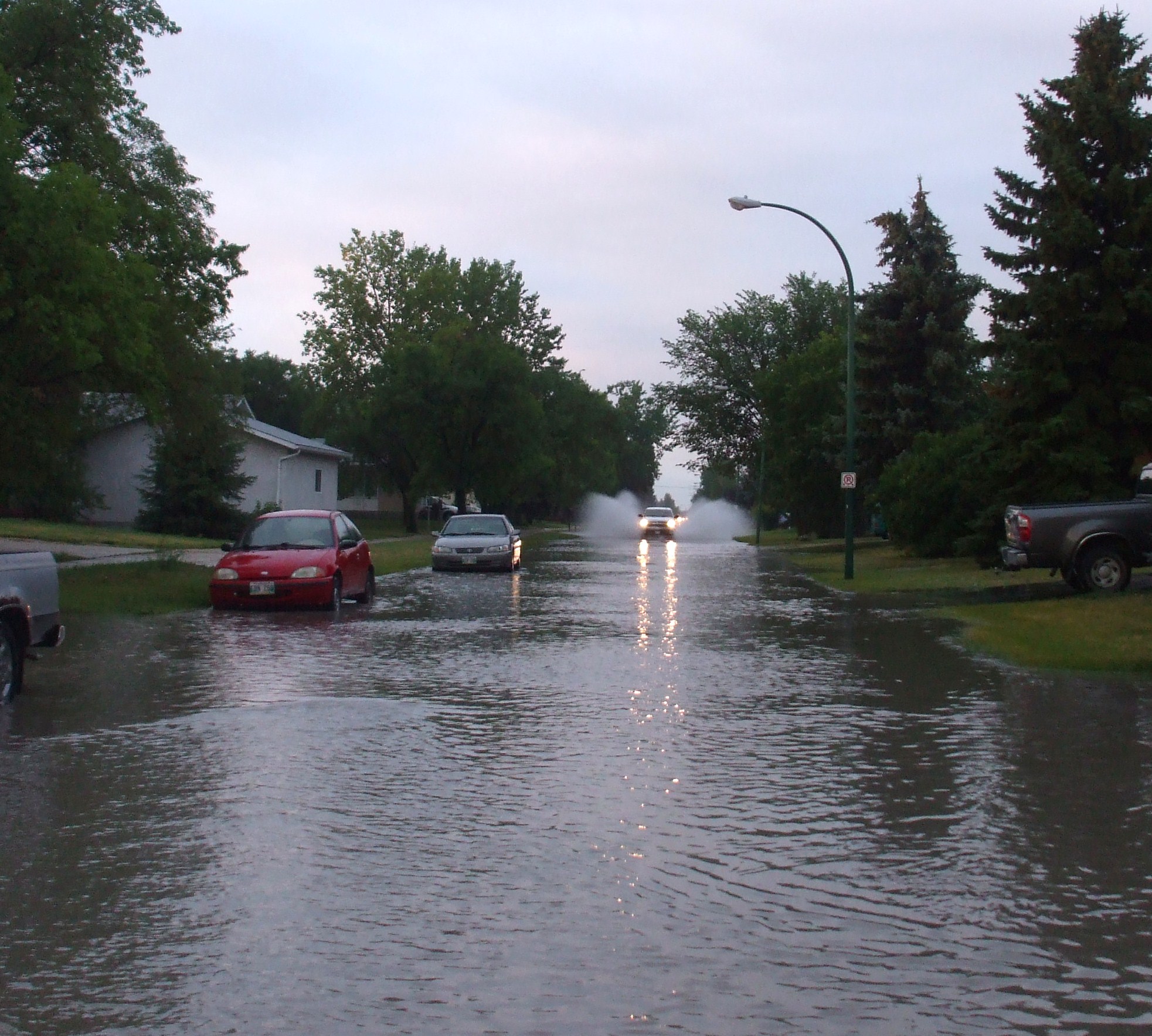
Flooded Street
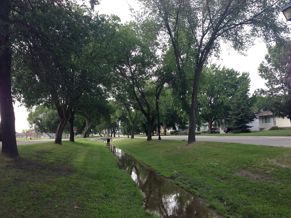
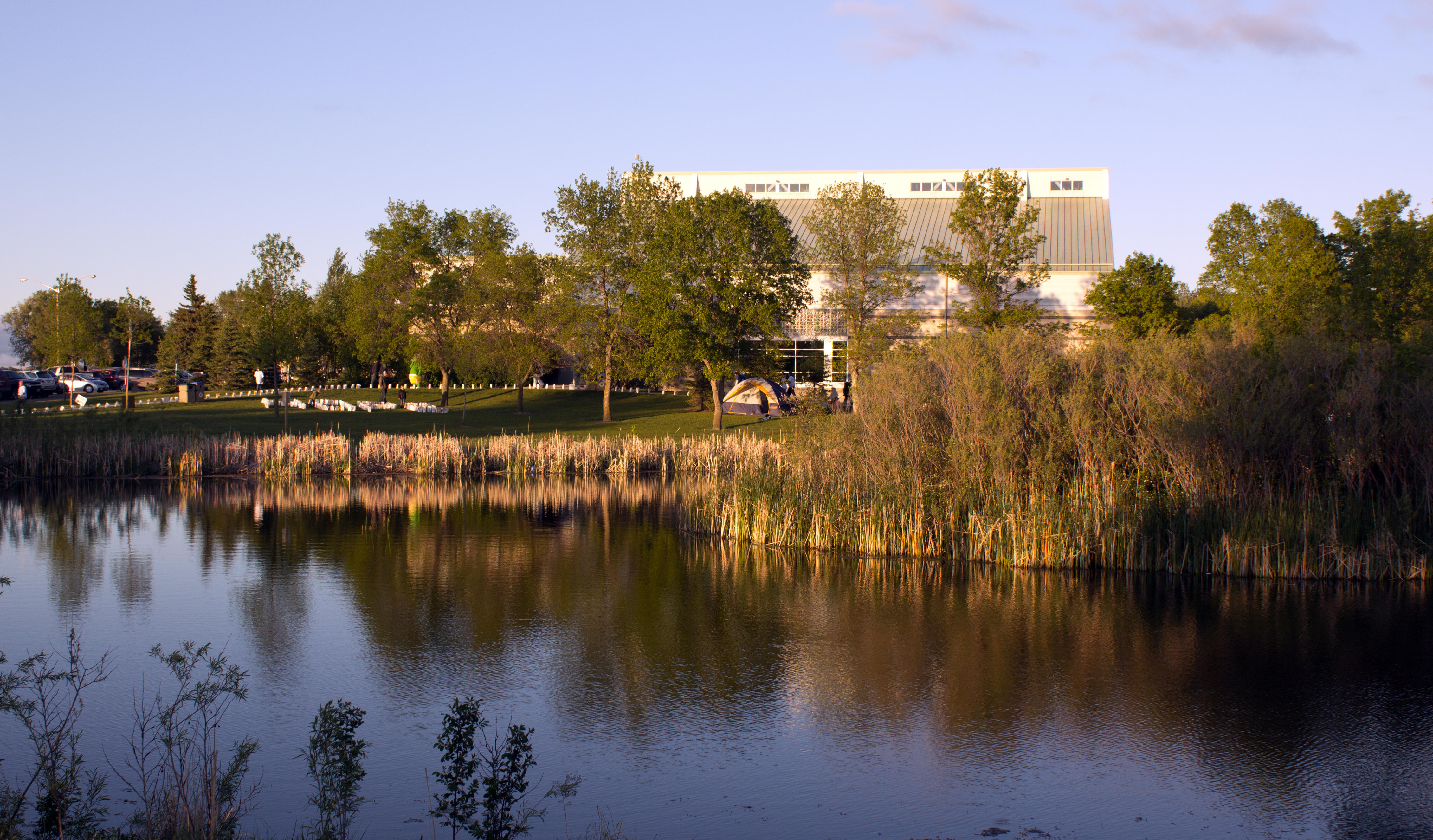
Brook by Elmdale
Topographic Map of La Broquerie, MB R0A, Canada
Find elevation by address:

Places near La Broquerie, MB R0A, Canada:
15 Rue Desgagné
Ste. Anne
La Broquerie
25 Park Ln, Marchand, MB R0A 0Z0, Canada
Richer
23 MB-, Richer, MB R0E 1S0, Canada
Steinbach
50 Parkhill Cres, Steinbach, MB R5G 0L2, Canada
Parkhill Place
Center Ave, Blumenort, MB R0A 0C0, Canada
Ste. Anne
Blumenort
Blumenort School
Ste-geneviève
Mitchell
Hanover
15 Siskin Bay
Division No. 2
Landmark
Kleefeld
Recent Searches:
- Elevation of Slanický ostrov, 01 Námestovo, Slovakia
- Elevation of Spaceport America, Co Rd A, Truth or Consequences, NM, USA
- Elevation of Warwick, RI, USA
- Elevation of Fern Rd, Whitmore, CA, USA
- Elevation of 62 Abbey St, Marshfield, MA, USA
- Elevation of Fernwood, Bradenton, FL, USA
- Elevation of Felindre, Swansea SA5 7LU, UK
- Elevation of Leyte Industrial Development Estate, Isabel, Leyte, Philippines
- Elevation of W Granada St, Tampa, FL, USA
- Elevation of Pykes Down, Ivybridge PL21 0BY, UK