Elevation of 23 MB-, Richer, MB R0E 1S0, Canada
Location: Canada > Manitoba > Division No. 2 > Ste. Anne > Richer >
Longitude: -96.456449
Latitude: 49.6582273
Elevation: 290m / 951feet
Barometric Pressure: 98KPa
Elevation Map:
Satellite Map:
Related Photos:
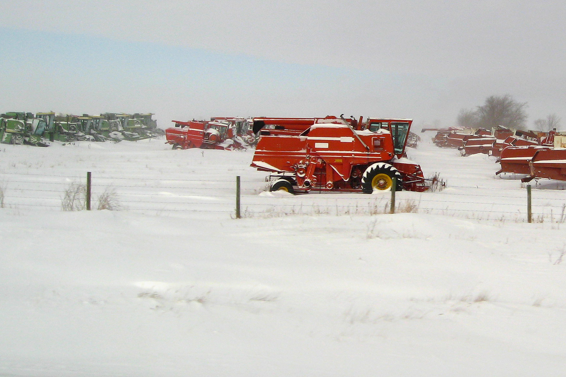
Bright red combine
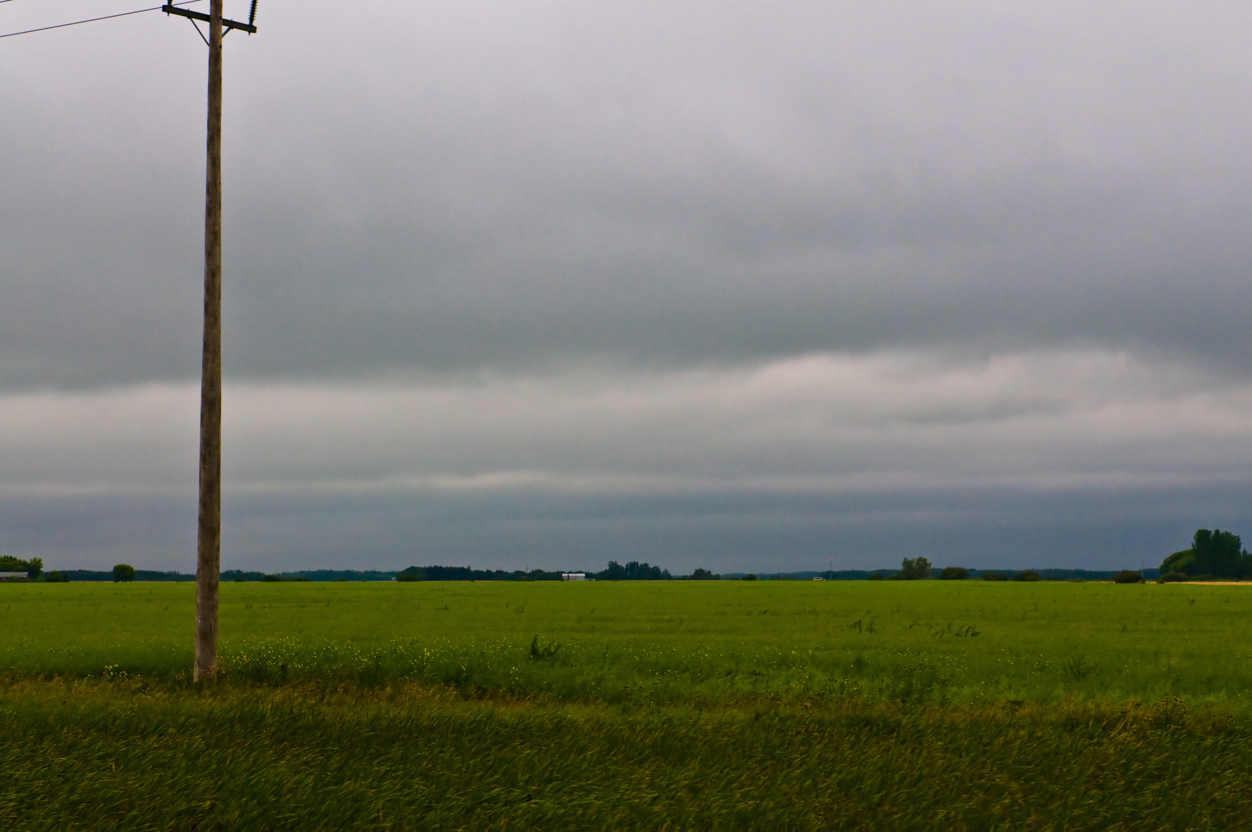
Another Rainy Day

Photobombed by a bird #forrealz #cornfield #field #gold #sunny #fall #autumn #farm #nature #outdoors #prairies #manitoba #canada
calm water

Canadian Roadtrip (92)

Canadian Roadtrip (95)

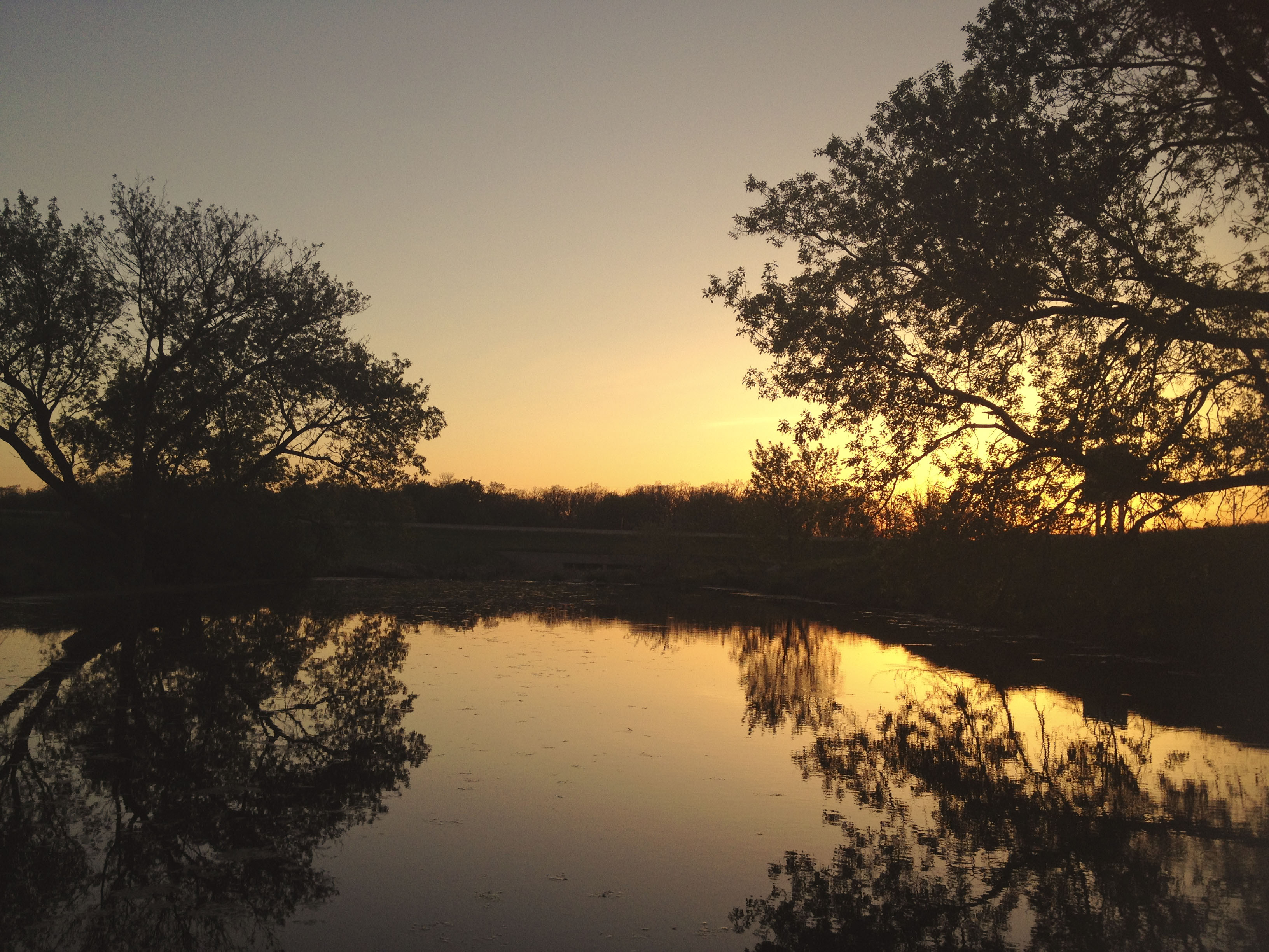
Prairie Sundown
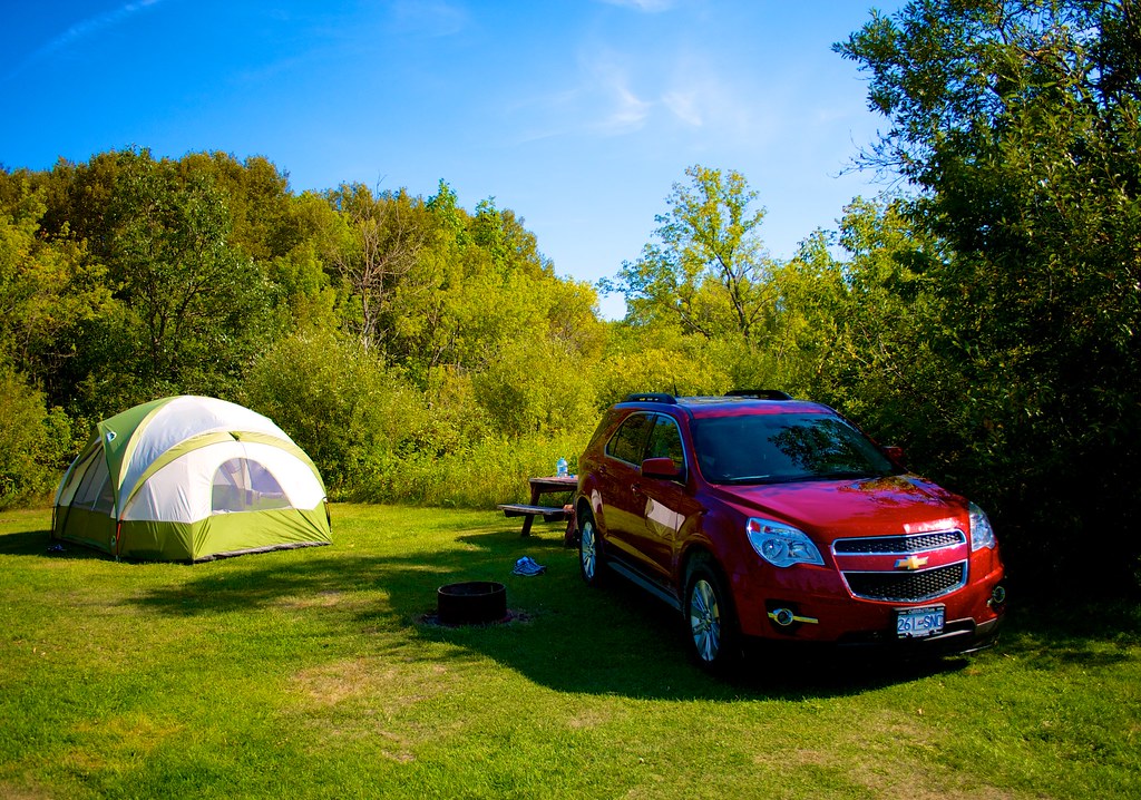
Canadian Roadtrip (91)

Canadian Roadtrip (94)

Canadian Roadtrip (96)

Hwy 12, Blumenort (504965)
Canadian Roadtrip (93)

Lets Go Fishing
Topographic Map of 23 MB-, Richer, MB R0E 1S0, Canada
Find elevation by address:

Places near 23 MB-, Richer, MB R0E 1S0, Canada:
Richer
Ste. Anne
Ste-geneviève
15 Rue Desgagné
La Broquerie
Ste. Anne
25 Park Ln, Marchand, MB R0A 0Z0, Canada
Blumenort
Center Ave, Blumenort, MB R0A 0C0, Canada
Blumenort School
Steinbach
La Broquerie
Division No. 12
50 Parkhill Cres, Steinbach, MB R5G 0L2, Canada
Parkhill Place
Mitchell
15 Siskin Bay
Landmark
Springfield
25483 River Rd
Recent Searches:
- Elevation of Steadfast Ct, Daphne, AL, USA
- Elevation of Lagasgasan, X+CQH, Tiaong, Quezon, Philippines
- Elevation of Rojo Ct, Atascadero, CA, USA
- Elevation of Flagstaff Drive, Flagstaff Dr, North Carolina, USA
- Elevation of Avery Ln, Lakeland, FL, USA
- Elevation of Woolwine, VA, USA
- Elevation of Lumagwas Diversified Farmers Multi-Purpose Cooperative, Lumagwas, Adtuyon, RV32+MH7, Pangantucan, Bukidnon, Philippines
- Elevation of Homestead Ridge, New Braunfels, TX, USA
- Elevation of Orchard Road, Orchard Rd, Marlborough, NY, USA
- Elevation of 12 Hutchinson Woods Dr, Fletcher, NC, USA