Elevation of District 5, VA, USA
Location: United States > Virginia > Dinwiddie County >
Longitude: -77.722316
Latitude: 37.020685
Elevation: 98m / 322feet
Barometric Pressure: 100KPa
Elevation Map:
Satellite Map:
Related Photos:

Stony Creek Bridge, Portal View

HomePlace.3

View from The Home Place Restaurant

Fallow Peanut Field

Route 1

Old Barn on an Older Battlefield

Sapony Creek

Honk Honk
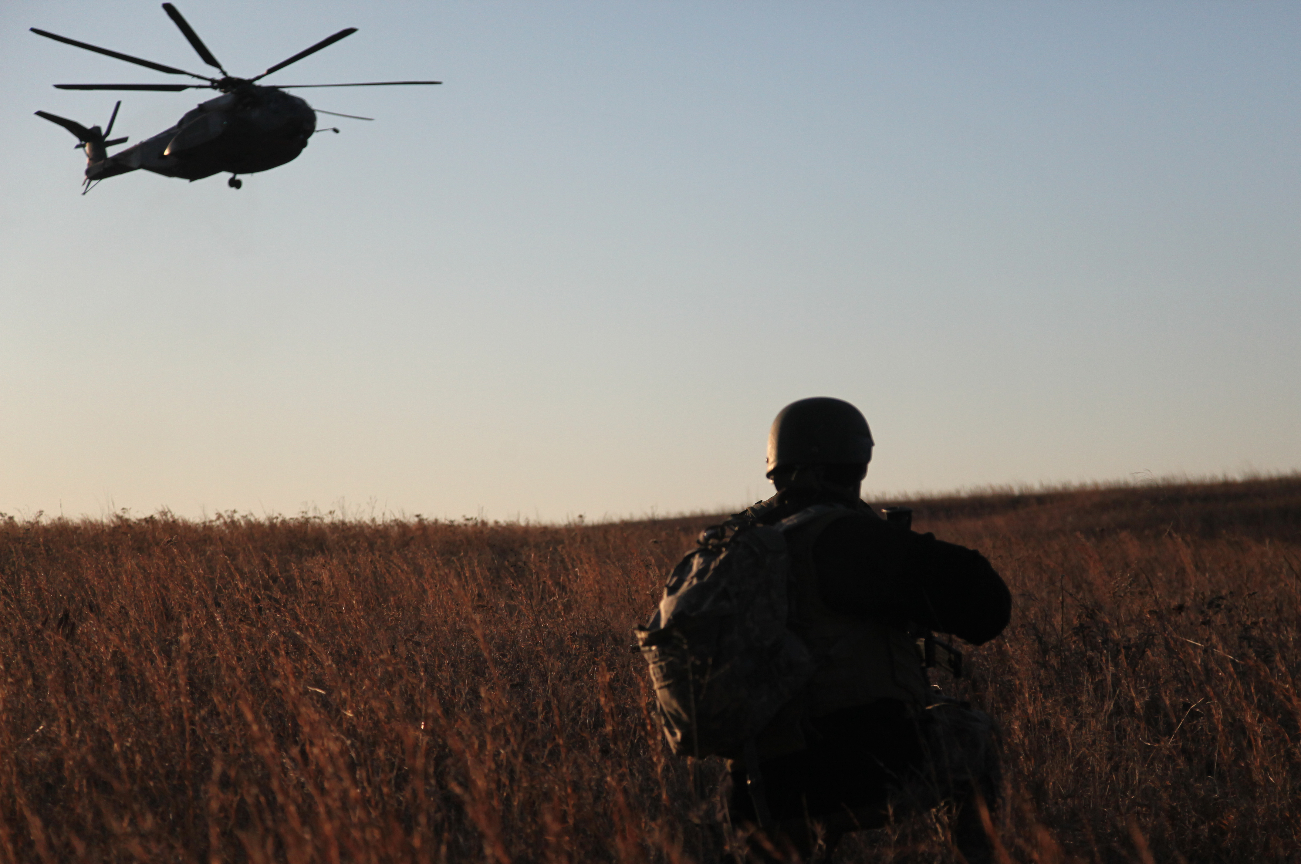
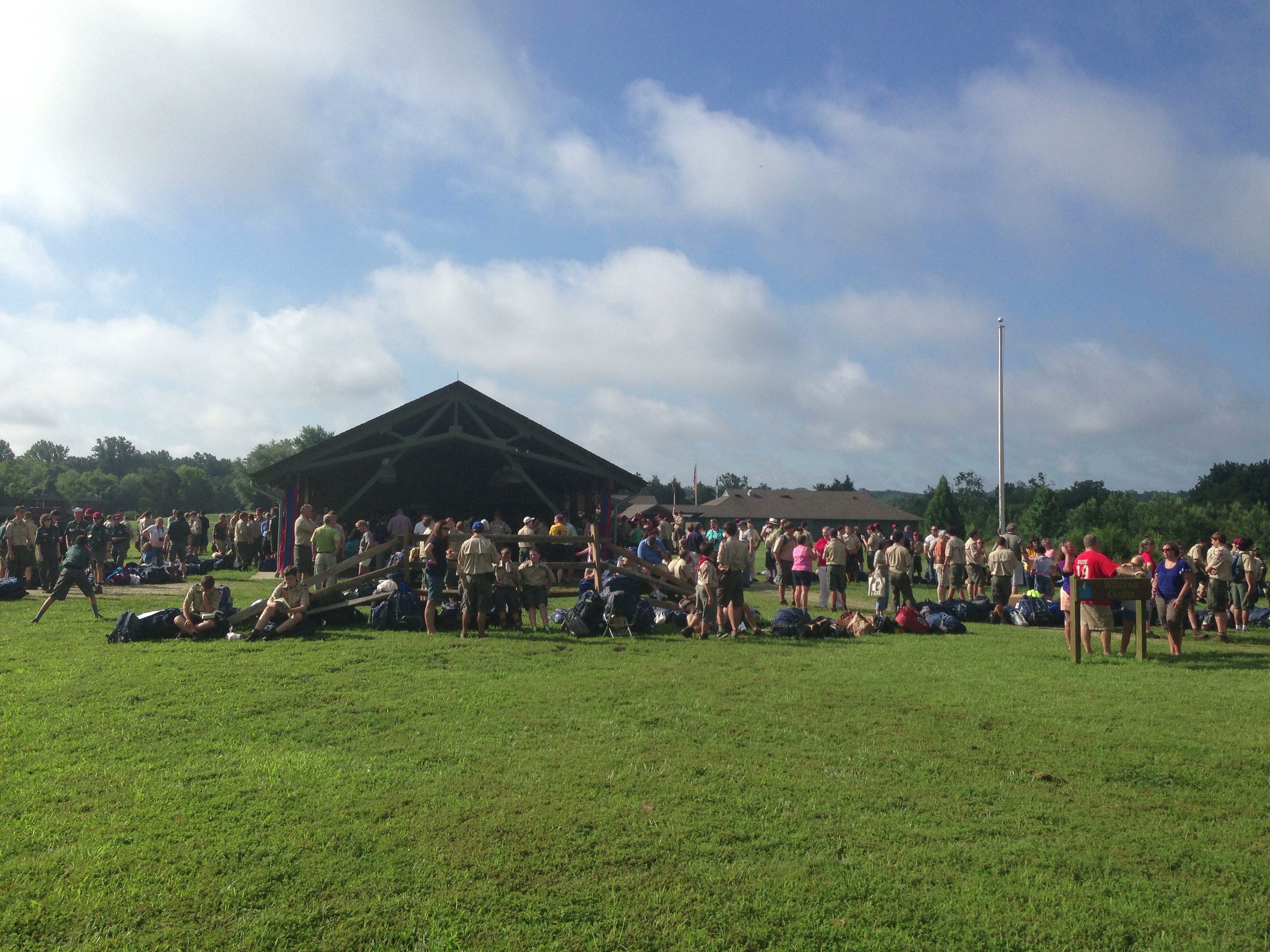
090220-A-6791J-031
A123 memories
Topographic Map of District 5, VA, USA
Find elevation by address:

Places in District 5, VA, USA:
Places near District 5, VA, USA:
19714 Manson Church Rd
Dewitt
Dinwiddie County
Boydton Plank Rd, Dewitt, VA, USA
9610 Baltimore Rd
McKenney Hwy, McKenney, VA, USA
1, VA, USA
Attaway Miniature Schnauzers
Dinwiddie
18059 Bonneville Ln
Ford
Church Road
Wilson Rd, Wilsons, VA, USA
Wilsons
4, VA, USA
Alberta
Poor House Rd, Dolphin, VA, USA
7100 Namozine Rd
5, VA, USA
Sutherland
Recent Searches:
- Elevation of Congressional Dr, Stevensville, MD, USA
- Elevation of Bellview Rd, McLean, VA, USA
- Elevation of Stage Island Rd, Chatham, MA, USA
- Elevation of Shibuya Scramble Crossing, 21 Udagawacho, Shibuya City, Tokyo -, Japan
- Elevation of Jadagoniai, Kaunas District Municipality, Lithuania
- Elevation of Pagonija rock, Kranto 7-oji g. 8"N, Kaunas, Lithuania
- Elevation of Co Rd 87, Jamestown, CO, USA
- Elevation of Tenjo, Cundinamarca, Colombia
- Elevation of Côte-des-Neiges, Montreal, QC H4A 3J6, Canada
- Elevation of Bobcat Dr, Helena, MT, USA