Elevation map of Diamir
Longitude: 73.9359821
Latitude: 35.4380933
Elevation: 1726m / 5663feet
Barometric Pressure: 82KPa
Elevation Map:
Satellite Map:
Related Photos:

Sunrise in Chilas
Damn Hot Here In Chilas | Sini Takde Aircond, Semua Hotel Pakai Air-Cooler | Shangrila Indus View Hotel | Day 2 via the Karakoram Highway | Chilas | Northern Pakistan

Kita Makan Dulu ! | Breakfast Is Ready Sharp at 0630hrs | Telur Mata Kobao Pun Ada | Shangrila Indus View Hotel | Day 2 via the Karakoram Highway | Chilas | Northern Pakistan
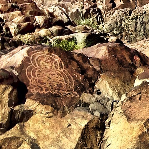
Buddha Carvings on The Rock | Shangrila Indus View Hotel | Day 2 via the Karakoram Highway | Chilas | Northern Pakistan
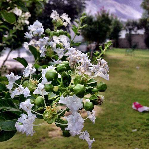
Pokok Bunga Apa Ntah Nama Dia | Shangrila Indus View Hotel | Day 2 via the Karakoram Highway | Chilas | Northern Pakistan

Classic & Big Padlock | Shangrila Indus View Hotel | Day 2 via the Karakoram Highway | Chilas | Northern Pakistan

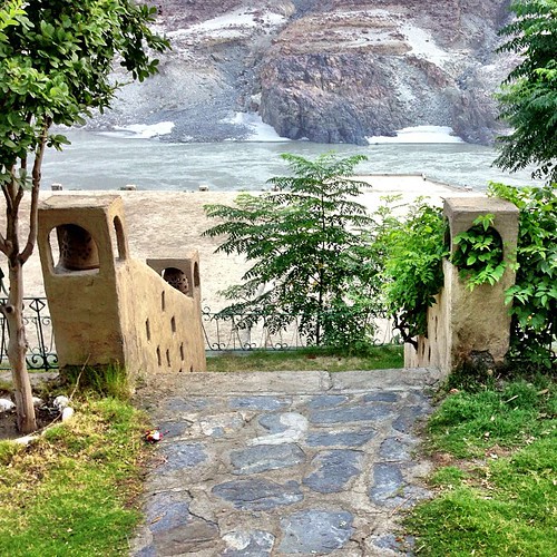
The Garden | Shangrila Indus View Hotel | Day 2 via the Karakoram Highway | Chilas | Northern Pakistan

Pembuka Selera | Punya La Payah Nak Order Ni Hehe | Shangrila Indus View Hotel | Day 2 via the Karakoram Highway | Chilas | Northern Pakistan
Somewhere on KKH

Indus River

Diamer, Gilgit-Baltistan, Pakistan

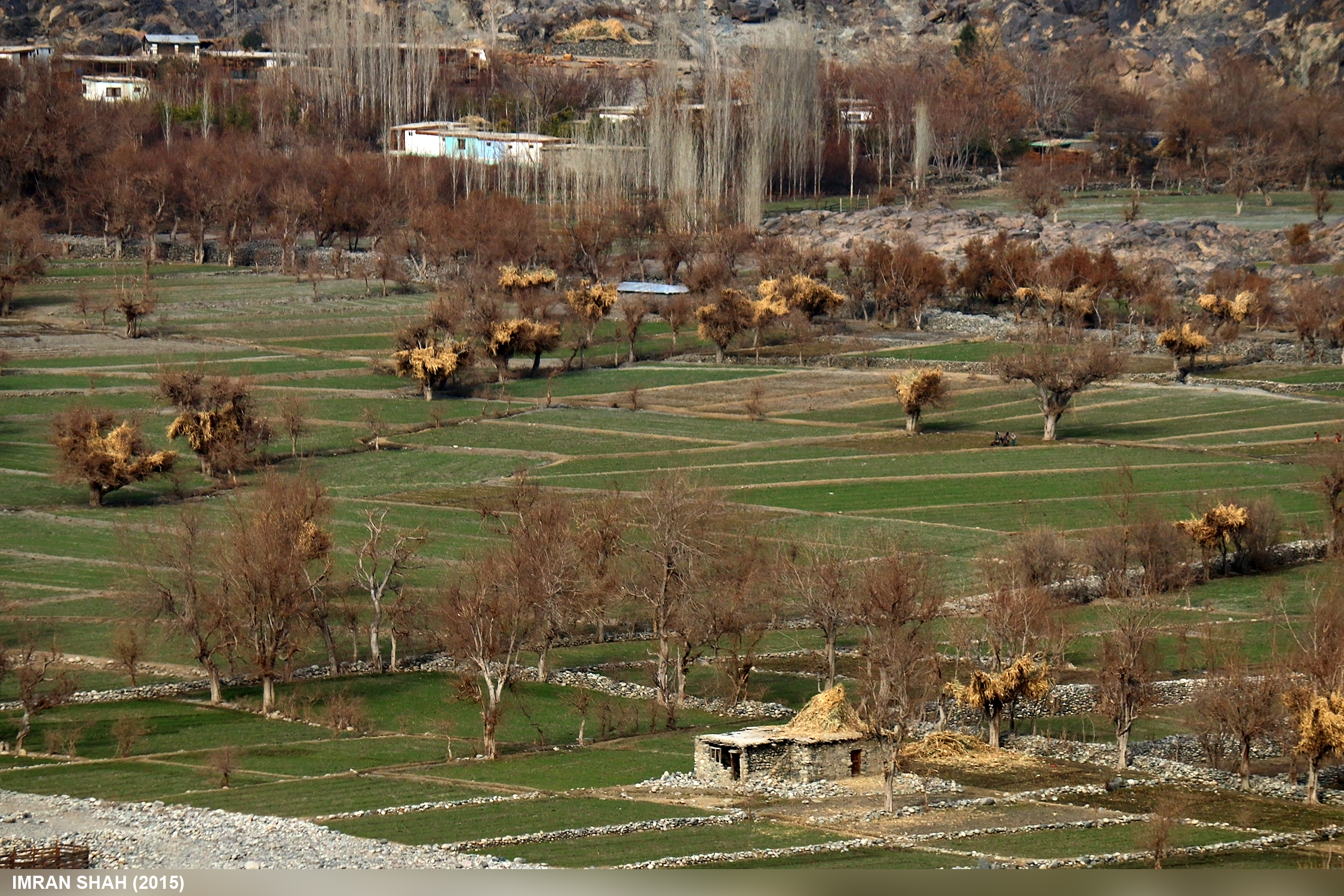
Settlement near Chilas

Suspension Bridge

Pakistan - Karakoram Highway

IMG_8559 2007_08_24 Pakistan - Karimabad, Rakaposhi, Besham

Bridge to the Green Valley | Near Chilas Town | Karakoram Highway | Northern Pakistan
Topographic Map of Diamir
Find elevation by address:

Places near Diamir:
Chilas Airport
Chilās
Babusar
Thowar
Dassu
Dassu Teshil
Gilgit
Gilgit-baltistan Monument
Gilgit Airport
Sherqilla
Minawar
Kohistan
Nomal Valley
Dasu
Kandia Valley Bridge
Bagrote Road
Gahkuch
Kohistan
Naltar Valley
Naltar Lake
Recent Searches:
- Elevation of 15th Ave SE, St. Petersburg, FL, USA
- Elevation of Beall Road, Beall Rd, Florida, USA
- Elevation of Leguwa, Nepal
- Elevation of County Rd, Enterprise, AL, USA
- Elevation of Kolchuginsky District, Vladimir Oblast, Russia
- Elevation of Shustino, Vladimir Oblast, Russia
- Elevation of Lampiasi St, Sarasota, FL, USA
- Elevation of Elwyn Dr, Roanoke Rapids, NC, USA
- Elevation of Congressional Dr, Stevensville, MD, USA
- Elevation of Bellview Rd, McLean, VA, USA