Elevation of Babusar
Longitude: 74.046169
Latitude: 35.2003495
Elevation: 2977m / 9767feet
Barometric Pressure: 70KPa
Elevation Map:
Satellite Map:
Related Photos:

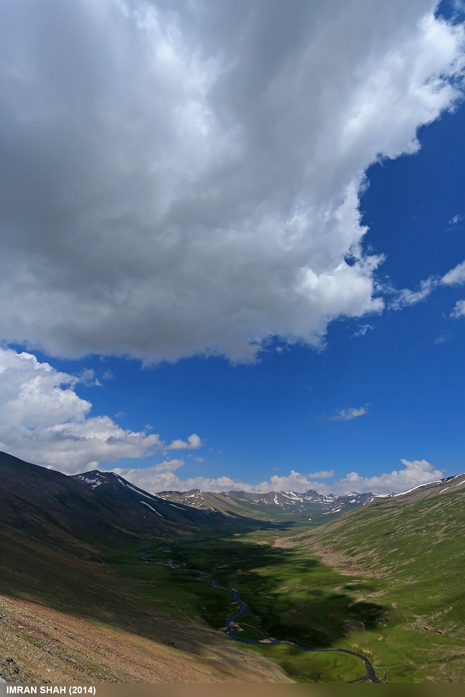
Summer Scenery @ Babusar Valley, Gilgit-Baltistan, Pakistan

View of the mountains around Babusar Pass

Babusar Pass views

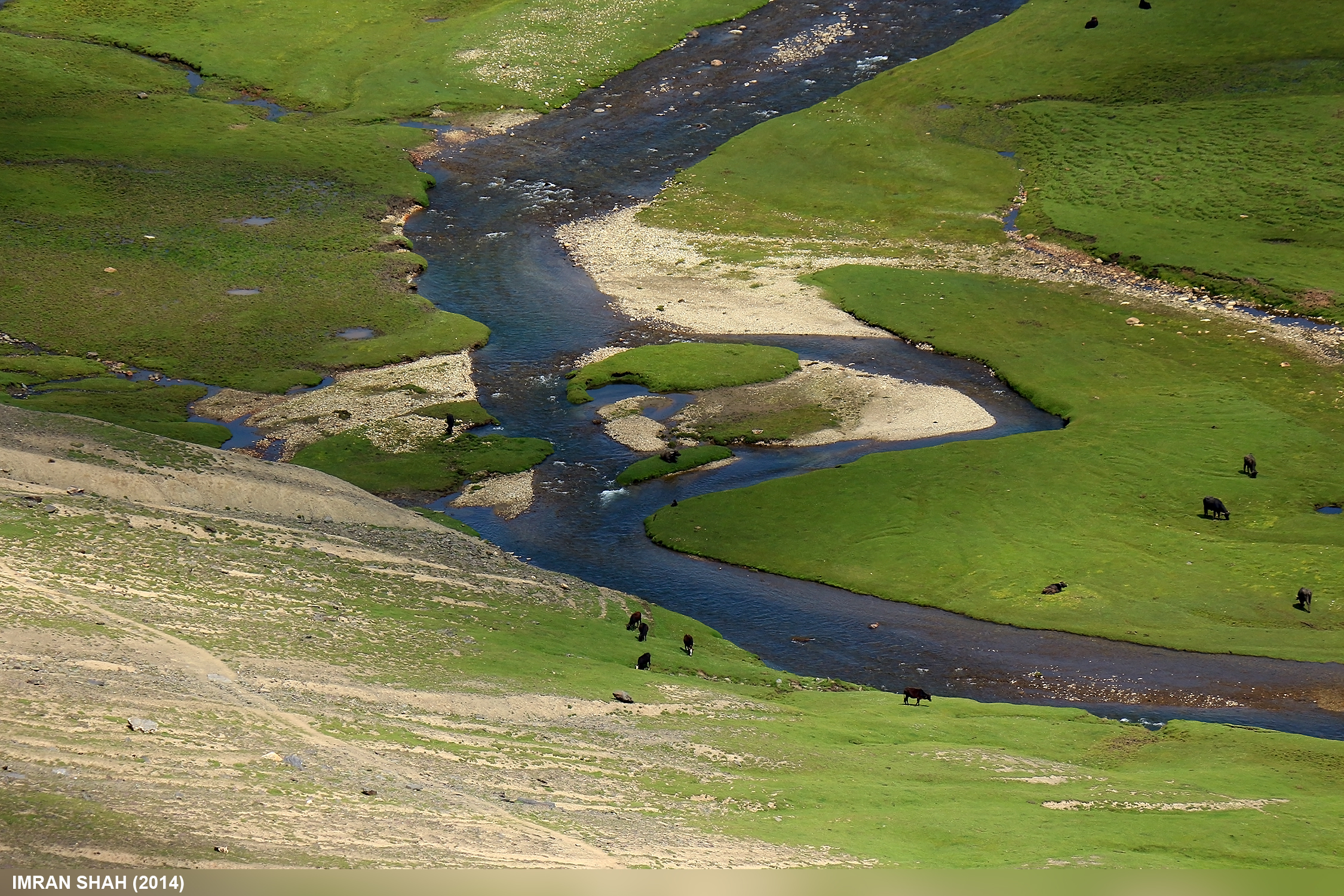
Kunhar River and mountains view from Babusar Pass

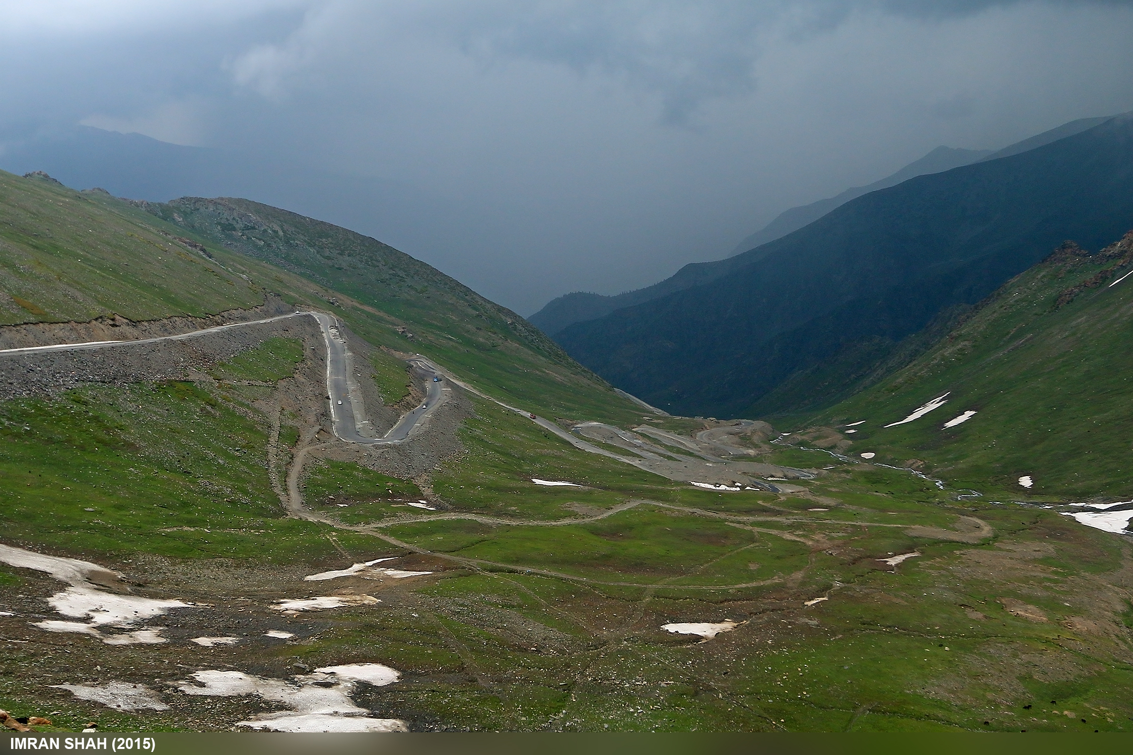
A view of the switchbacks we have to take down from here

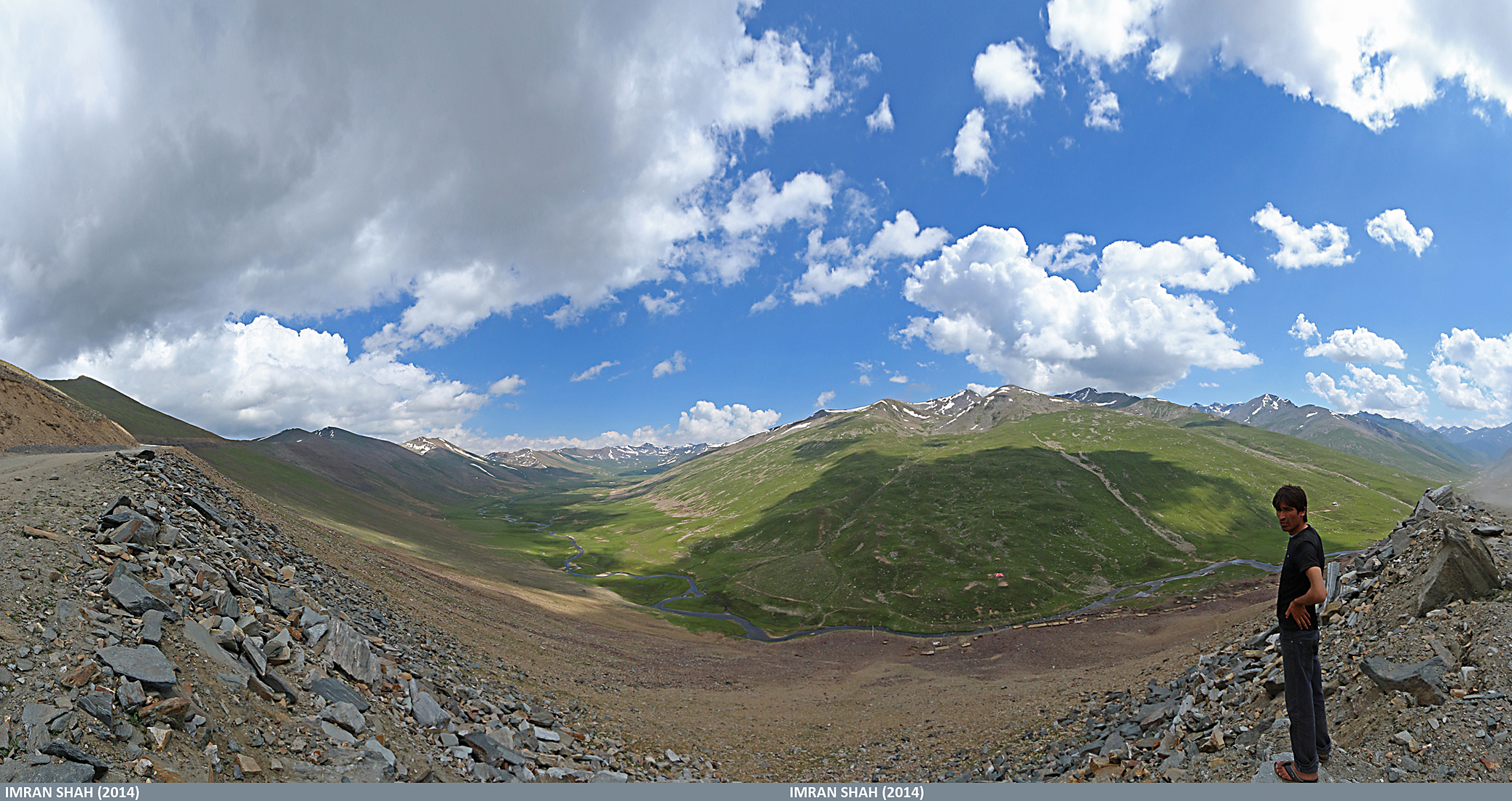
Panorama of Babusar Top

Lulusar Lake

Babusar Top (July 2014) in Gilgit-Baltistan, Pakistan
Road towards Chilas

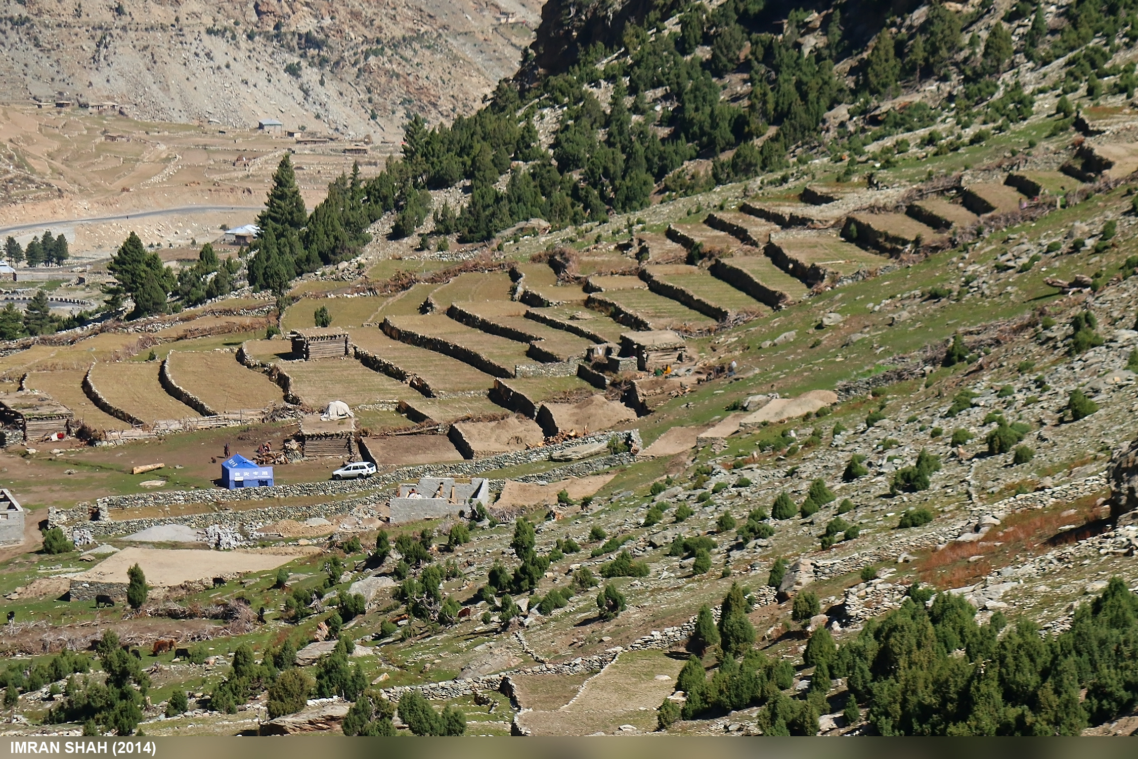
Settlement near Babusar

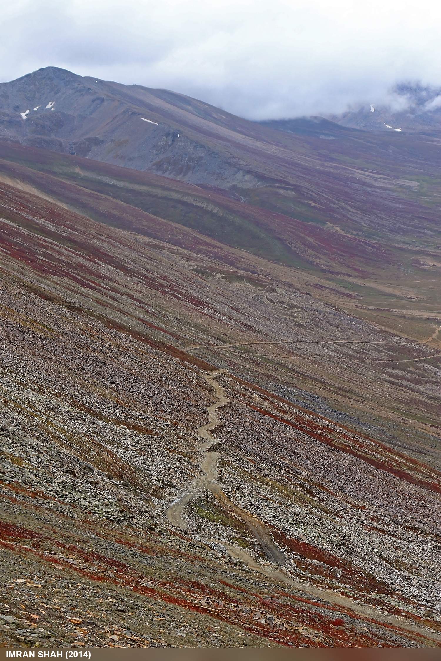
Road to Babusar Top
Babusar Top (July 2014) in Gilgit-Baltistan, Pakistan

Babusar Top

Babusar Top (July 2014) in Gilgit-Baltistan, Pakistan

Panorama of Babusar Top

Babusar, Diamer, Gilgit-Baltistan, Pakistan
Thak Nala

Thak Nalla

Road to Babusar

to Babusar pass
Babusar Top
Babusar Top
Babusar Top

Thak Nalla

Babusar Top
Topographic Map of Babusar
Find elevation by address:

Places near Babusar:
Chilās
Chilas Airport
Diamir
Thowar
Dassu
Dassu Teshil
Gilgit
Kohistan
Gilgit Airport
Gilgit-baltistan Monument
Minawar
Dasu
Bagrote Road
Kandia Valley Bridge
Sherqilla
Nomal Valley
Kohistan
Naltar Valley
Gahkuch
Jaglot
Recent Searches:
- Elevation of 2 Henschke Ct, Caboolture QLD, Australia
- Elevation of Redondo Ave, Long Beach, CA, USA
- Elevation of Sadovaya Ulitsa, 20, Rezh, Sverdlovskaya oblast', Russia
- Elevation of Ulitsa Kalinina, 79, Rezh, Sverdlovskaya oblast', Russia
- Elevation of 72-31 Metropolitan Ave, Middle Village, NY, USA
- Elevation of 76 Metropolitan Ave, Brooklyn, NY, USA
- Elevation of Alisal Rd, Solvang, CA, USA
- Elevation of Vista Blvd, Sparks, NV, USA
- Elevation of 15th Ave SE, St. Petersburg, FL, USA
- Elevation of Beall Road, Beall Rd, Florida, USA