Elevation of Dhankuta, Nepal
Location: Nepal > Eastern Region > Koshi >
Longitude: 87.3413599
Latitude: 27.0073576
Elevation: -10000m / -32808feet
Barometric Pressure: 295KPa
Elevation Map:
Satellite Map:
Related Photos:

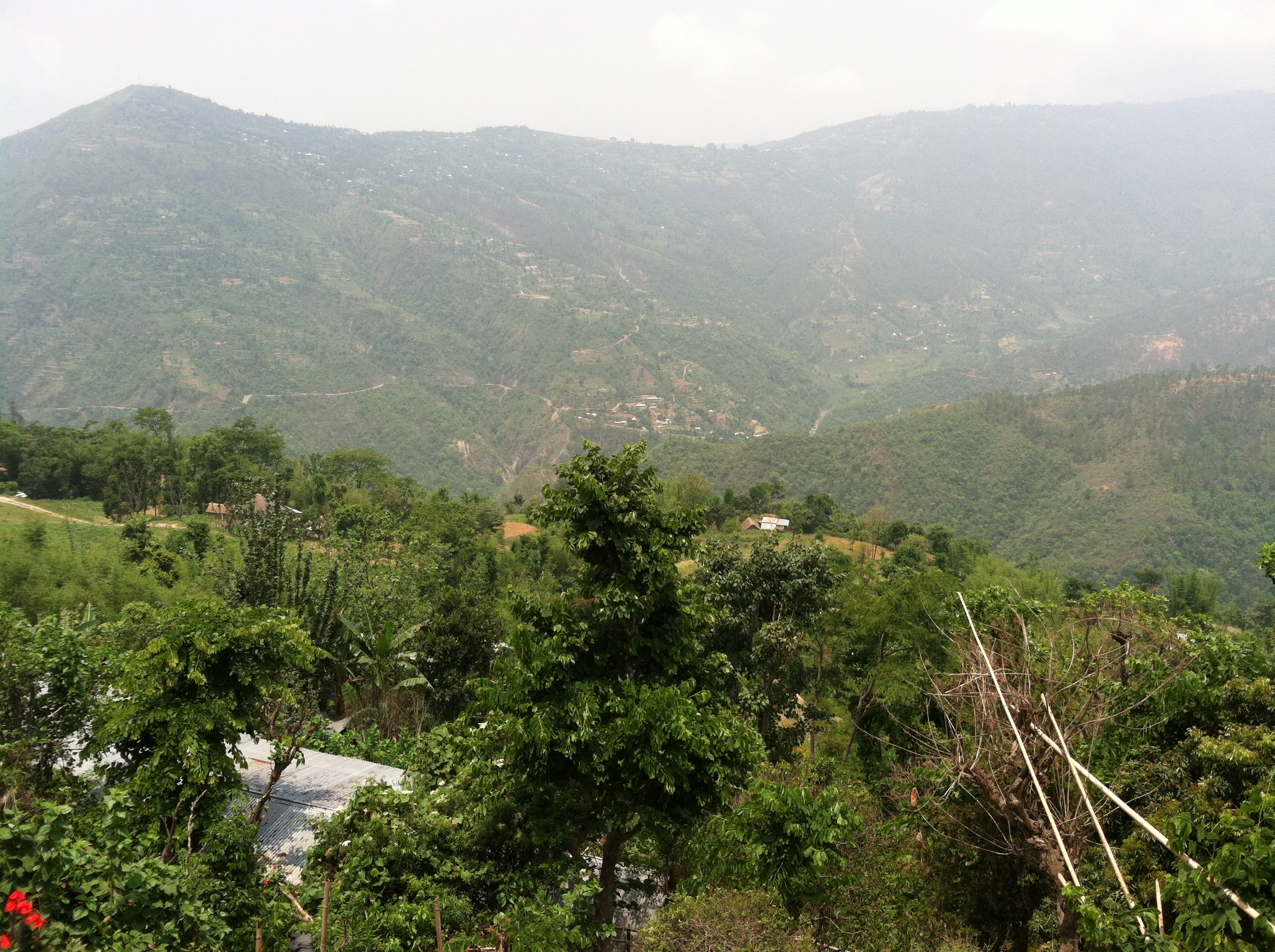
Nepalese Landscape
View from our porch

Nepal (39) - 30Sep10, Hile (Nepal)

Nepal (38) - 30Sep10, Hile (Nepal)

Nepal (38) [Round] - 30Sep10, Hile (Nepal)

Tea Plantation
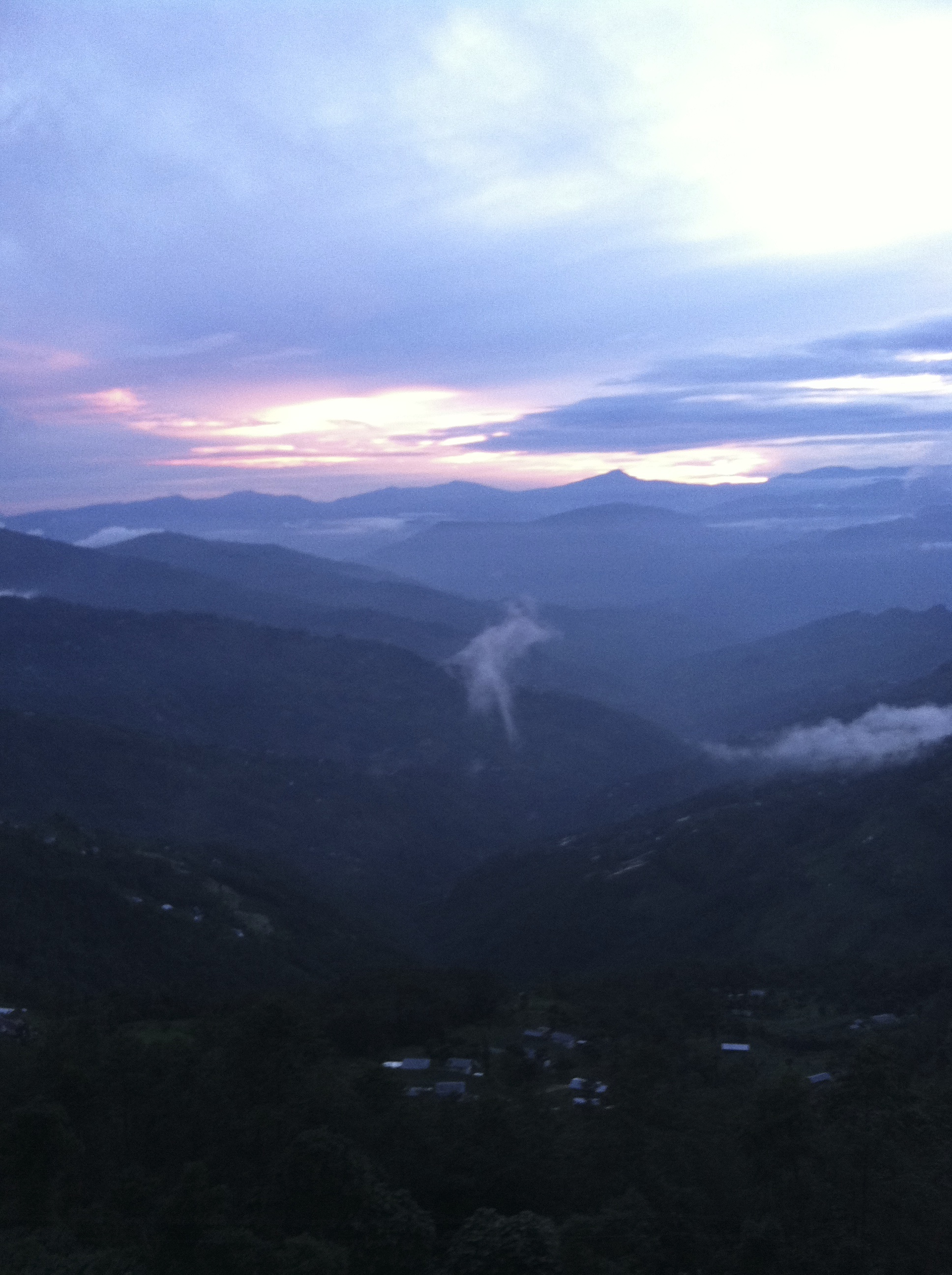
Sindhuwa sunsets 2

Dhankuta Days 2
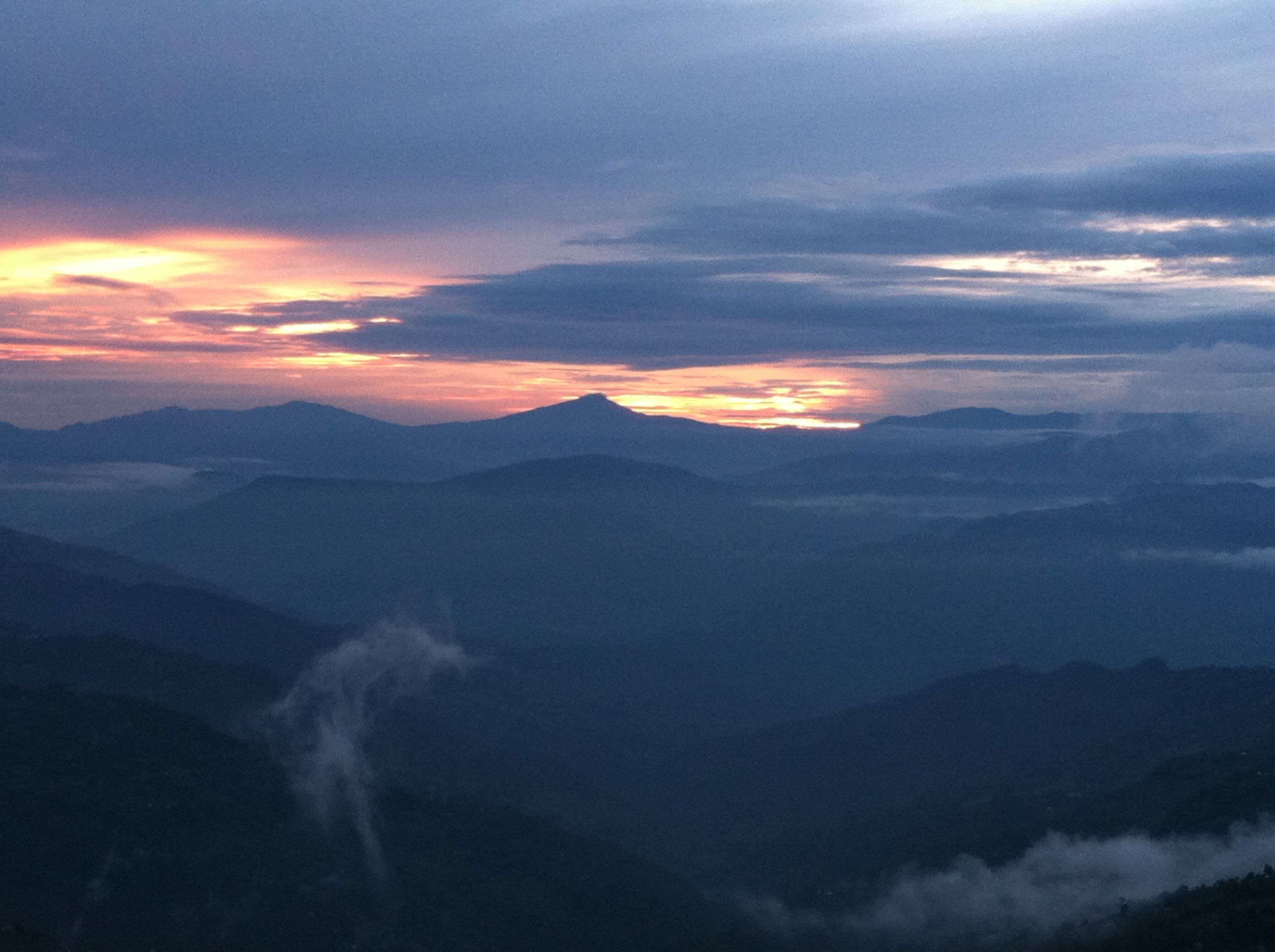
Sindhuwa sunsets
Topographic Map of Dhankuta, Nepal
Find elevation by address:

Places near Dhankuta, Nepal:
Dhankuta
Dhankuta District Hospital
Hile
Koshi
Sindhuwa Bazar
Leguwa
Bhedetar
Tinjure Danda
Tamaphok
Mouwa
Birjung Marg
Dharan
Bhogateni
Terhathum
Letang Bhogateni
Sherjong
Gufa Pokhari
Guphapokhari
Province No. 1
Sarangdanda
Recent Searches:
- Elevation of Foligno, Province of Perugia, Italy
- Elevation of Blauwestad, Netherlands
- Elevation of Bella Terra Blvd, Estero, FL, USA
- Elevation of Estates Loop, Priest River, ID, USA
- Elevation of Woodland Oak Pl, Thousand Oaks, CA, USA
- Elevation of Brownsdale Rd, Renfrew, PA, USA
- Elevation of Corcoran Ln, Suffolk, VA, USA
- Elevation of Mamala II, Sariaya, Quezon, Philippines
- Elevation of Sarangdanda, Nepal
- Elevation of 7 Waterfall Way, Tomball, TX, USA