Elevation of Dhankuta District Hospital, Hulak Tole & Thadobazar Street, Dhankuta, Nepal
Location: Nepal > Eastern Region > Koshi >
Longitude: 87.3434937
Latitude: 26.9720588
Elevation: -10000m / -32808feet
Barometric Pressure: 295KPa
Elevation Map:
Satellite Map:
Related Photos:

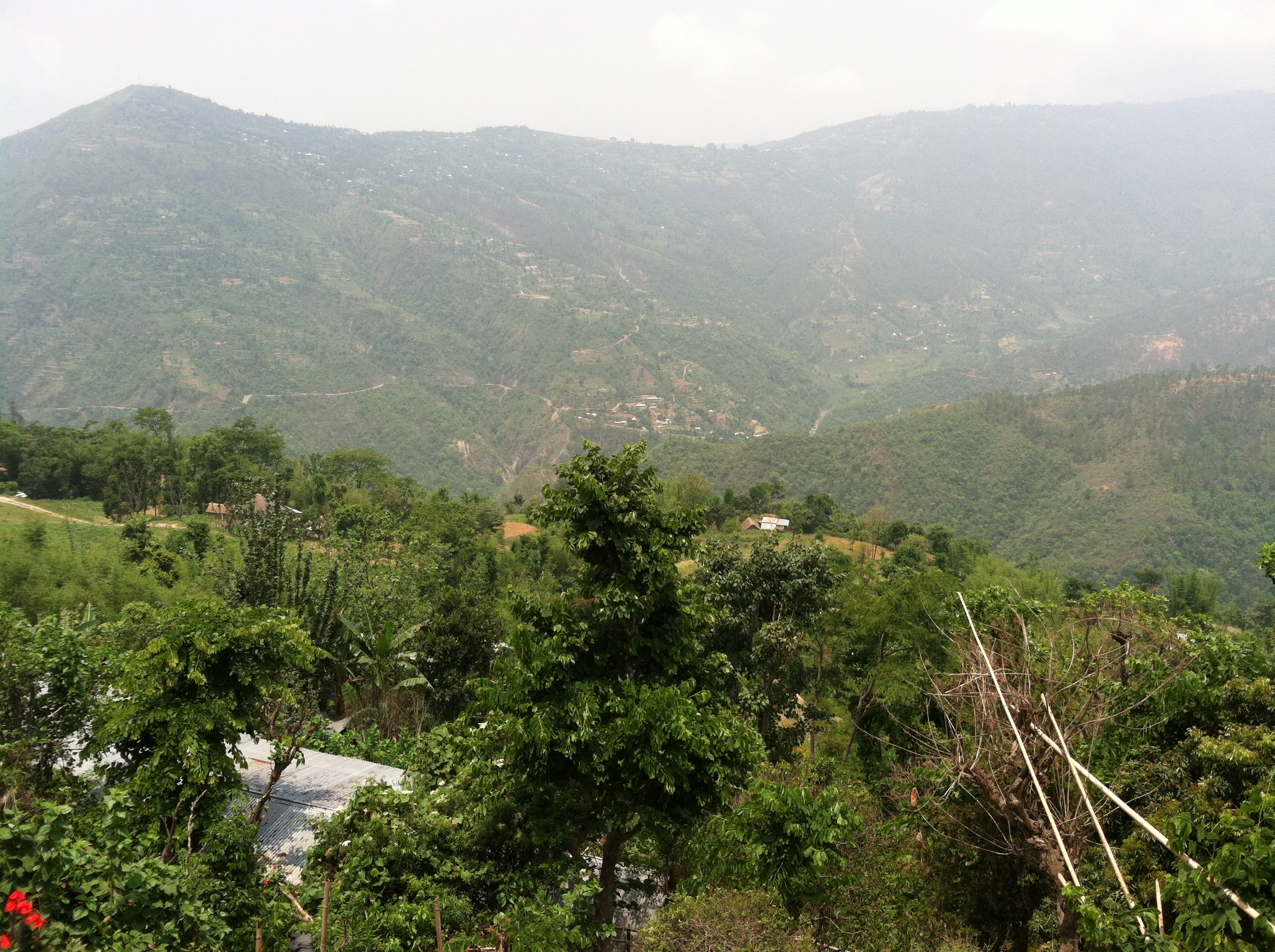
Nepalese Landscape
View from our porch

Nepal (38) - 30Sep10, Hile (Nepal)

Nepal (38) [Round] - 30Sep10, Hile (Nepal)

Nepal (39) - 30Sep10, Hile (Nepal)

Tea Plantation
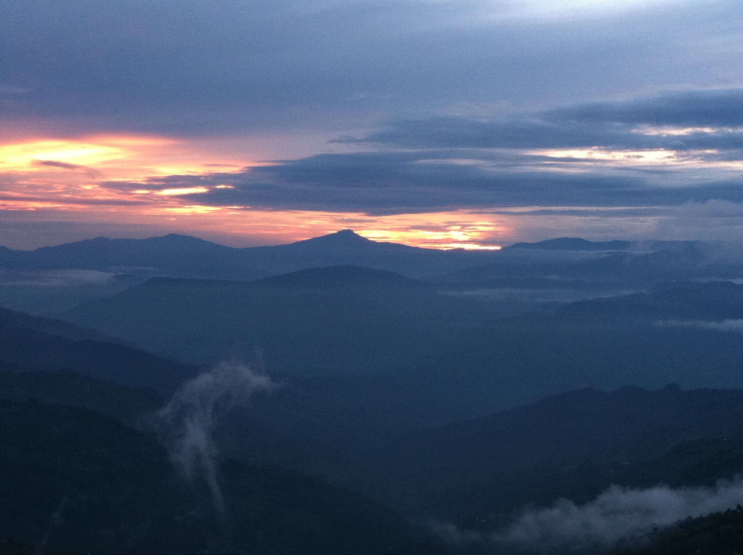
Sindhuwa sunsets 2

Dhankuta Days 2
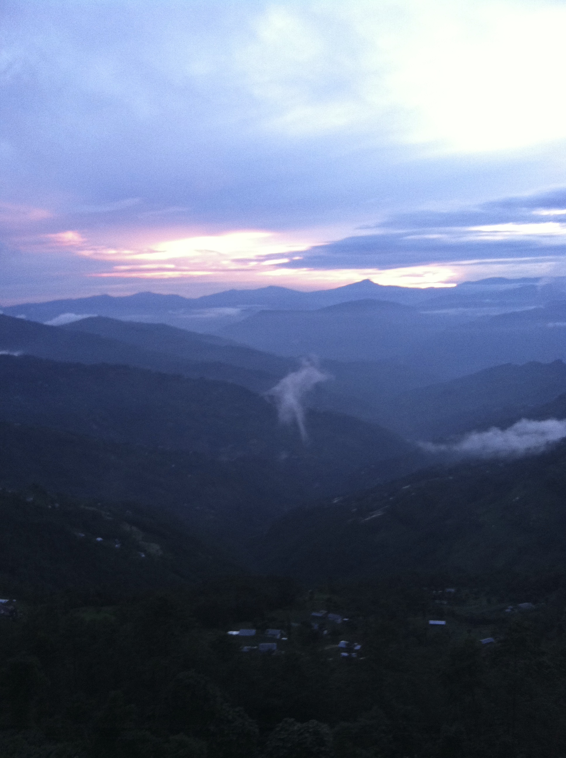
Sindhuwa sunsets
Topographic Map of Dhankuta District Hospital, Hulak Tole & Thadobazar Street, Dhankuta, Nepal
Find elevation by address:

Places near Dhankuta District Hospital, Hulak Tole & Thadobazar Street, Dhankuta, Nepal:
Dhankuta
Dhankuta
Hile
Koshi
Bhedetar
Sindhuwa Bazar
Birjung Marg
Mouwa
Dharan
Tinjure Danda
Bhogateni
Tamaphok
Letang Bhogateni
Terhathum
Sherjong
Gufa Pokhari
Guphapokhari
Province No. 1
Tumlingtar Airport
Phidim
Recent Searches:
- Elevation of W Granada St, Tampa, FL, USA
- Elevation of Pykes Down, Ivybridge PL21 0BY, UK
- Elevation of Jalan Senandin, Lutong, Miri, Sarawak, Malaysia
- Elevation of Bilohirs'k
- Elevation of 30 Oak Lawn Dr, Barkhamsted, CT, USA
- Elevation of Luther Road, Luther Rd, Auburn, CA, USA
- Elevation of Unnamed Road, Respublika Severnaya Osetiya — Alaniya, Russia
- Elevation of Verkhny Fiagdon, North Ossetia–Alania Republic, Russia
- Elevation of F. Viola Hiway, San Rafael, Bulacan, Philippines
- Elevation of Herbage Dr, Gulfport, MS, USA