Elevation of Gufa Pokhari, Nepal
Location: Nepal > Eastern Region > Koshi > Terhathum >
Longitude: 87.5057304
Latitude: 27.2849726
Elevation: -10000m / -32808feet
Barometric Pressure: 295KPa
Elevation Map:
Satellite Map:
Related Photos:

Sacred Lake at Gupha Pokhari, Nepal. 2980 meters elevation

Gorja -- our first night camping in tents on the trail

Fenton and his Magic Bag

Raj and Pat

The Porters Arrive

Aussie Banter
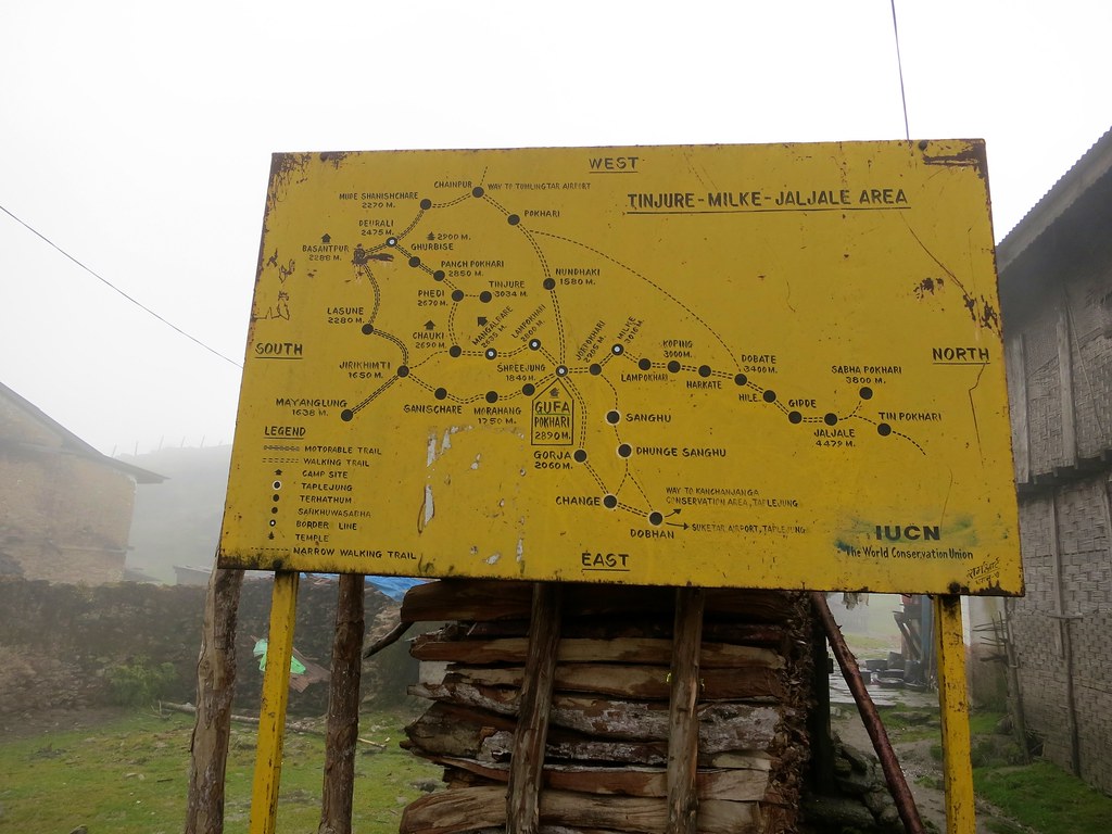
Our Course; Eastern Nepal
Topographic Map of Gufa Pokhari, Nepal
Find elevation by address:

Places near Gufa Pokhari, Nepal:
Guphapokhari
Sherjong
Terhathum
Province No. 1
Tamaphok
Tinjure Danda
Sindhuwa Bazar
Papung
Dunge
Leguwa
Num
Phidim Bazar
Phidim
Koshi
Mouwa
Tumlingtar Airport
Hile
Panchthar
Dhankuta
Mudhe
Recent Searches:
- Elevation of Foligno, Province of Perugia, Italy
- Elevation of Blauwestad, Netherlands
- Elevation of Bella Terra Blvd, Estero, FL, USA
- Elevation of Estates Loop, Priest River, ID, USA
- Elevation of Woodland Oak Pl, Thousand Oaks, CA, USA
- Elevation of Brownsdale Rd, Renfrew, PA, USA
- Elevation of Corcoran Ln, Suffolk, VA, USA
- Elevation of Mamala II, Sariaya, Quezon, Philippines
- Elevation of Sarangdanda, Nepal
- Elevation of 7 Waterfall Way, Tomball, TX, USA