Elevation of Deodar Dr, Yorba Linda, CA, USA

Location: United States > California > Orange County > Yorba Linda >

Longitude: -117.77288

Latitude: 33.9007549

Elevation: 207m / 679feet

Barometric Pressure: 99KPa

Elevation Map:

elevation map of Deodar Dr, Yorba Linda, CA, USA

Satellite Map:

Satellite map of Deodar Dr, Yorba Linda, CA, USA

Related Photos:

New Monarch
pink square flora purple magenta roseofsharon bud excellence awesomeblossoms hibiscussyriaca
Emerging rose of sharon
orangecounty ringbilledgull bird gull
Ring-billed Gull
california sunset canon outdoors lowlight sunsets socal canondslr fullerton locomotives railroads bluemoon fullertoncalifornia alltrains bluemoonrising mywinners movingtrains californiafullerton aphotographersnature
Highland Meet at Sunset
california blackandwhite canon outdoors nightimages steam socal nightshots canondslr fullerton locomotives atsf fullertoncalifornia alltrains intothedarkness betterinblackandwhite overtheexcellence atsf3751 californiafullerton alltypesoftransport aphotographersnature monochromaticvisions
ATSF 3751
california county camera blue white tractor art 120 6x6 film rock museum rollei analog truck vintage mediumformat square toy la los big xpro lomography crossprocessed cross angeles crossprocess sightseeing grain icon boulder ishootfilm plastic socal diana parked analogue dianacamera process dianaf heights processed vignette epic lacma transporter 340 megalith hanjin tons lores emulsion rowland plasticlens emmert toycameracom angeleno eyetwist theicon cr200 epsonv750pro digibase levitatedmass filmexif filmtagger eyetwistkevinballuff rolleidigibasecr200pro michaelhelzer
transporter. rowland heights, ca. 2012.
california color backlight canon outdoors sunsets signals socal canondslr fullerton canon70200f4l fullertoncalifornia adifferentpointofview danceswithlight californiafullerton kenszok
Solar Aspect [Explored]
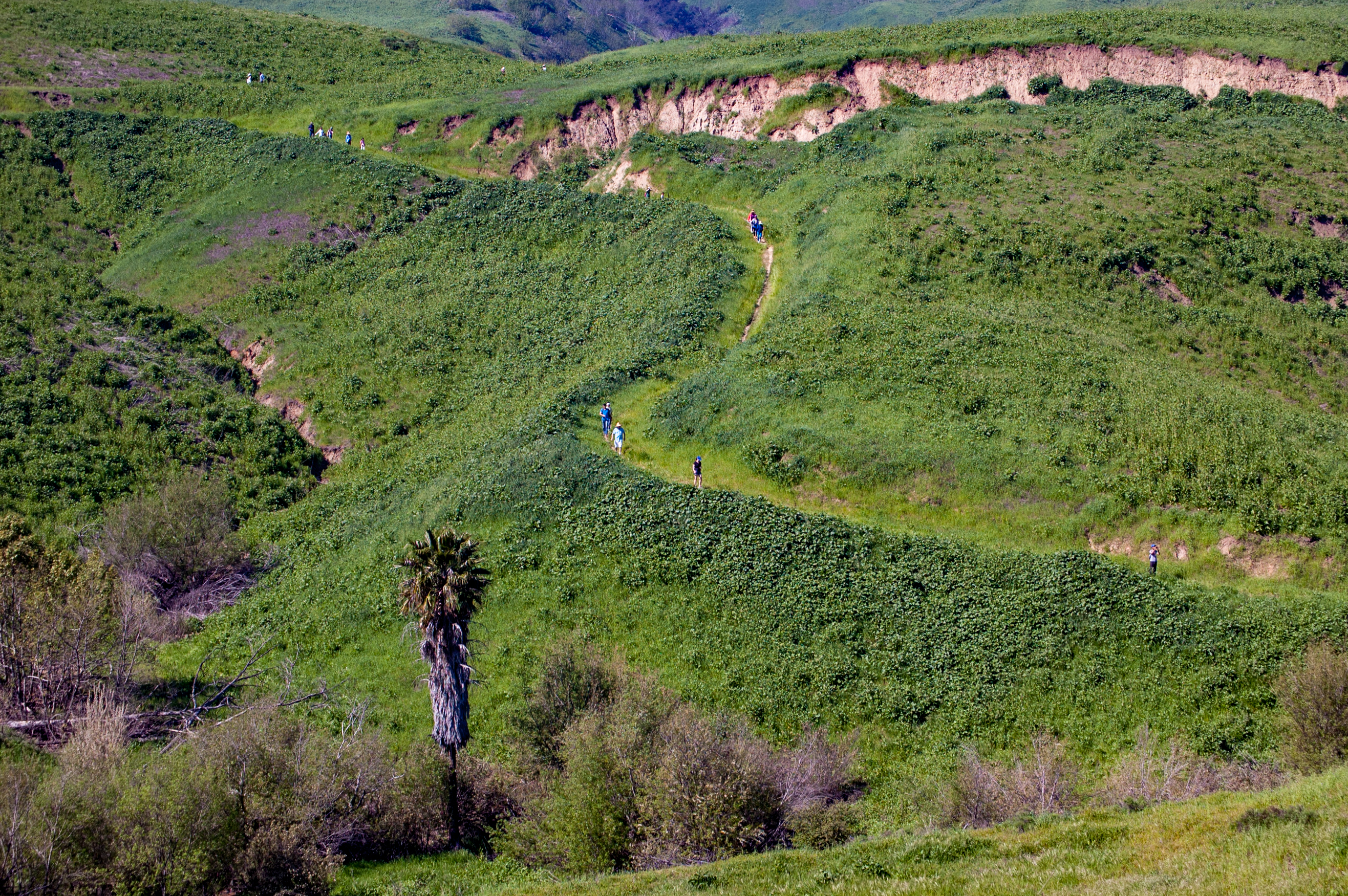
california orange lumix hiking panasonic scouts southerncalifornia webelos cubscouts lx5 peterscanyonregionalpark dmclx5
Hiking Higher
california moon night train outdoors nightimages nightshot fullerton lunar intothedarkness aphotographersnature
Crescent Moon over Fullerton
sedan 1949cadillac series62
1949 Cadillac Series 62 Sedan
christmas sunset orange green nature canon landscape outdoors hiking hills socal 5d southerncalifornia orangecounty chinohillsstatepark
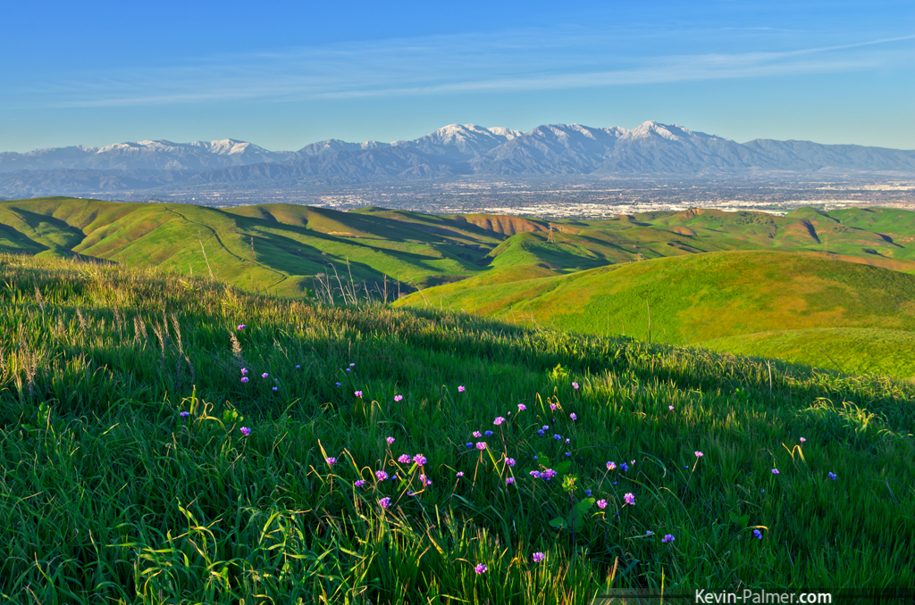
Idyllic Orange County
frog top20animals top20frogs muzeo mywinners
Waxy Monkey Frog (Phyllomedusa sauvagii)
california canon outdoors diesel socal canondslr fullerton bnsf canon70200f4l fullertoncalifornia alltrains platinumphoto anawesomeshot movingtrains diamondclassphotographer flickrdiamond overtheexcellence californiafullerton alltypesoftransport rgmfc goldendiamondblog platinumpeaceaward worldpeacehalloffame imagicland selectbestfavorites
Stacks West
california people canon outdoors bokeh amtrak canondslr fullerton trainspotting canon70200f4l fullertoncalifornia 6millionpeople passengerterminals goldendiamondblog aphotographersnature
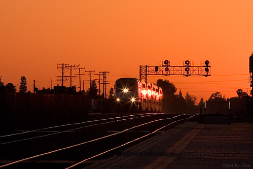
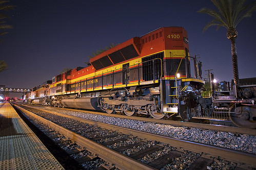
Waiting for the Chief
sky rocks earth ilikethat nothinglastsforever
Nothing lasts for ever but the earth and sky.
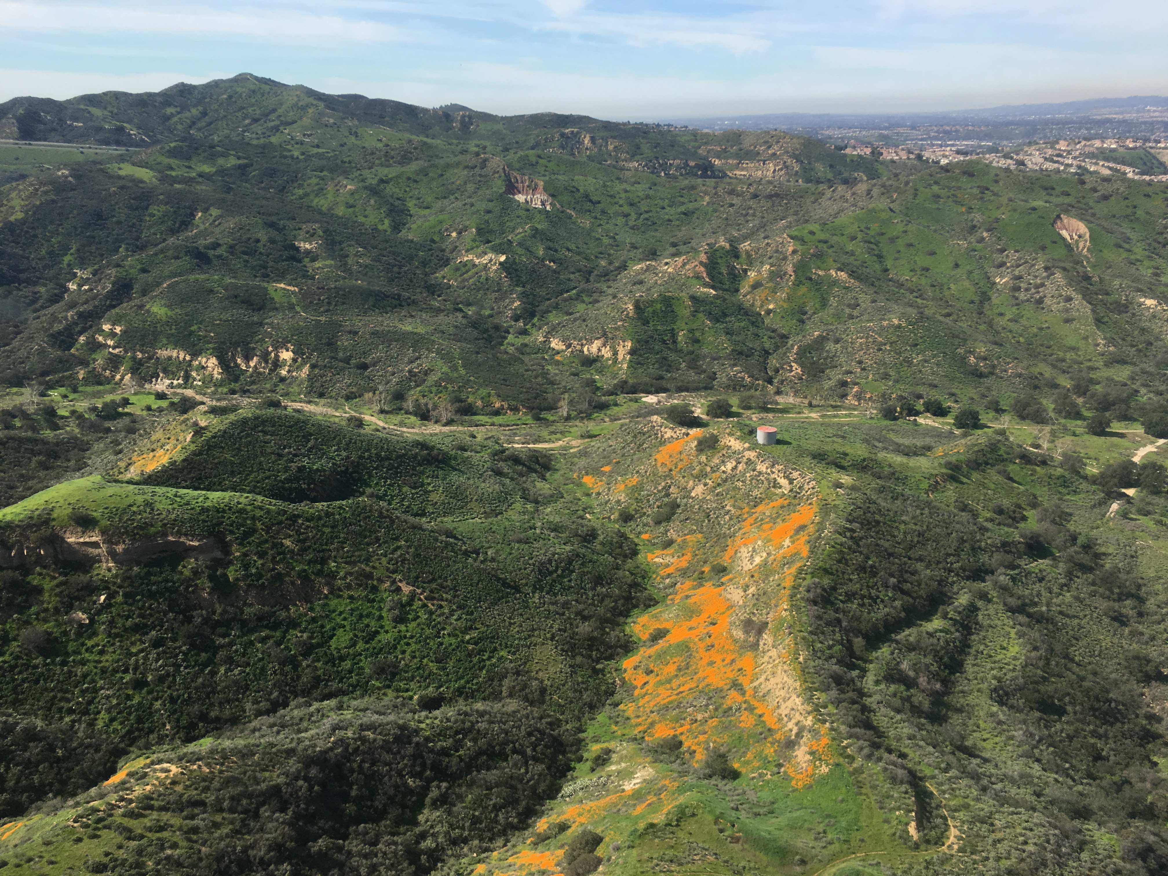
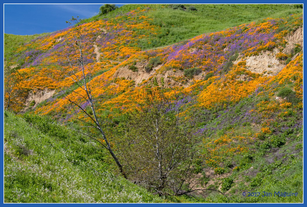
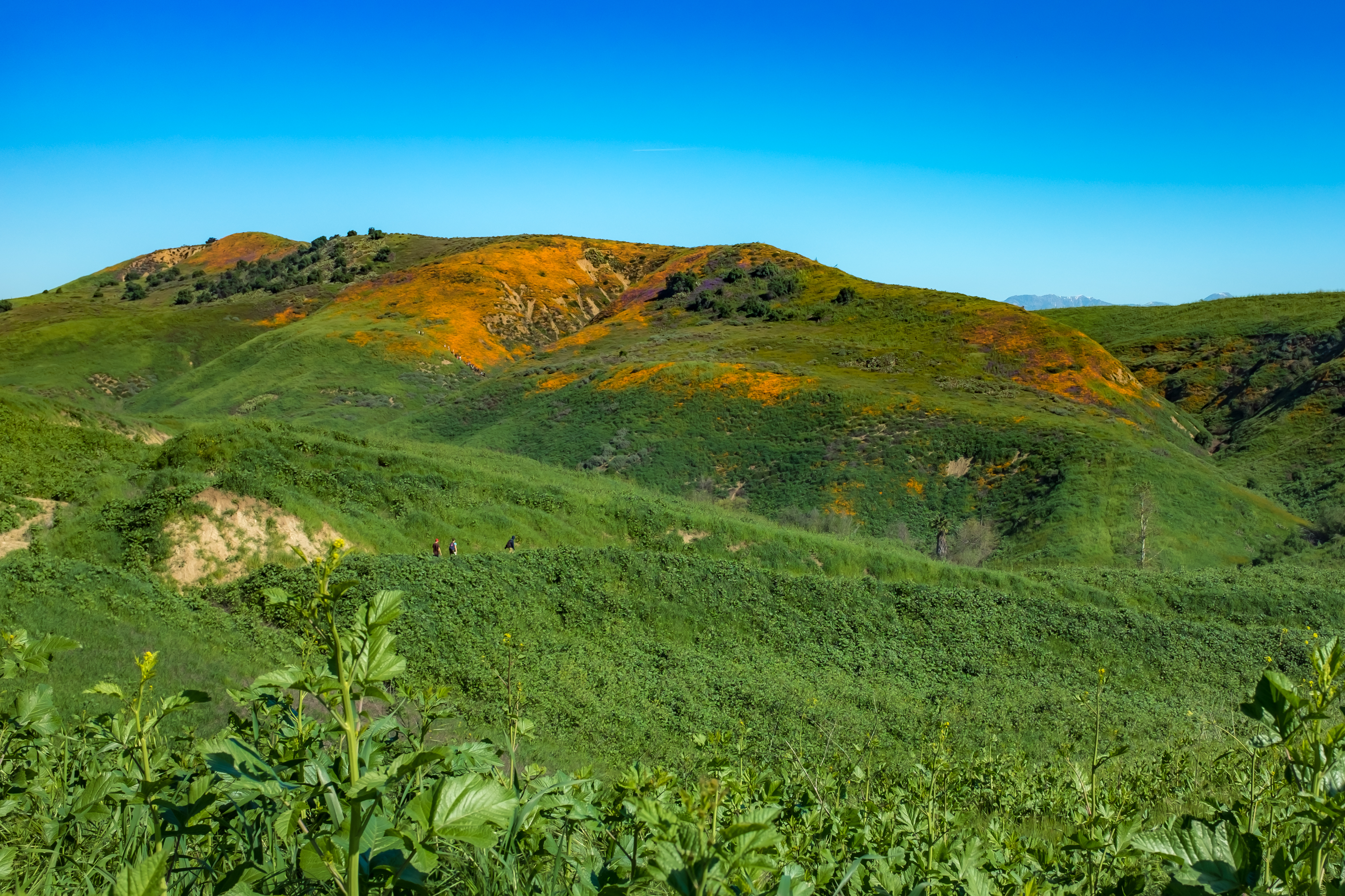
Gypsum Canyon Poppies
california trains commuter fullerton
Metrolink Glint
california travel sunset people backlight canon outdoors lowlight sunsets canondslr canon70200f4l passengerterminal fullertoncalifornia mywinners impressedbeauty diamondclassphotographer flickrdiamond californiafullerton passengerterminals kenszok
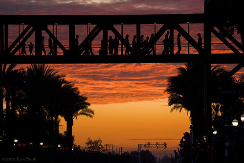
Commuters on the Bridge
california night canon nightimages nightshot socal nights nightshots canondslr fullerton locomotives railroads kcs fullertoncalifornia alltrains sd70ace canon1740f4lusmgroup californiafullerton alltypesoftransport kenszok
A Belle Awaiting
creative frog moment 1001nights top20frogs muzeo specanimal mywinners macrolife arealgem natureselegantshots 1001nightsmagiccity ringexcellence dblringexcellence
Tomato Frog portrait (Dyscophus antongilii)
backyard bokeh westernbluebird sialiamexicana wildbirdsunlimited wbu
Western Bluebird juvenile male
Desert come to life
california park clouds day unitedstates state cloudy path canyon hills telegraph brea chino
Telegraph Canyon 116
chinohills california unitedstates us
DSC_0149.jpg
chinohillsstatepark wildflower wildflowers chinohills california unitedstates us spring springtime
Chino Hills 5630
irvine california santiagocanyon photo digital winter afternoon hills grass meadow road panorama
Santiago Canyon Road and the 241 Expressway
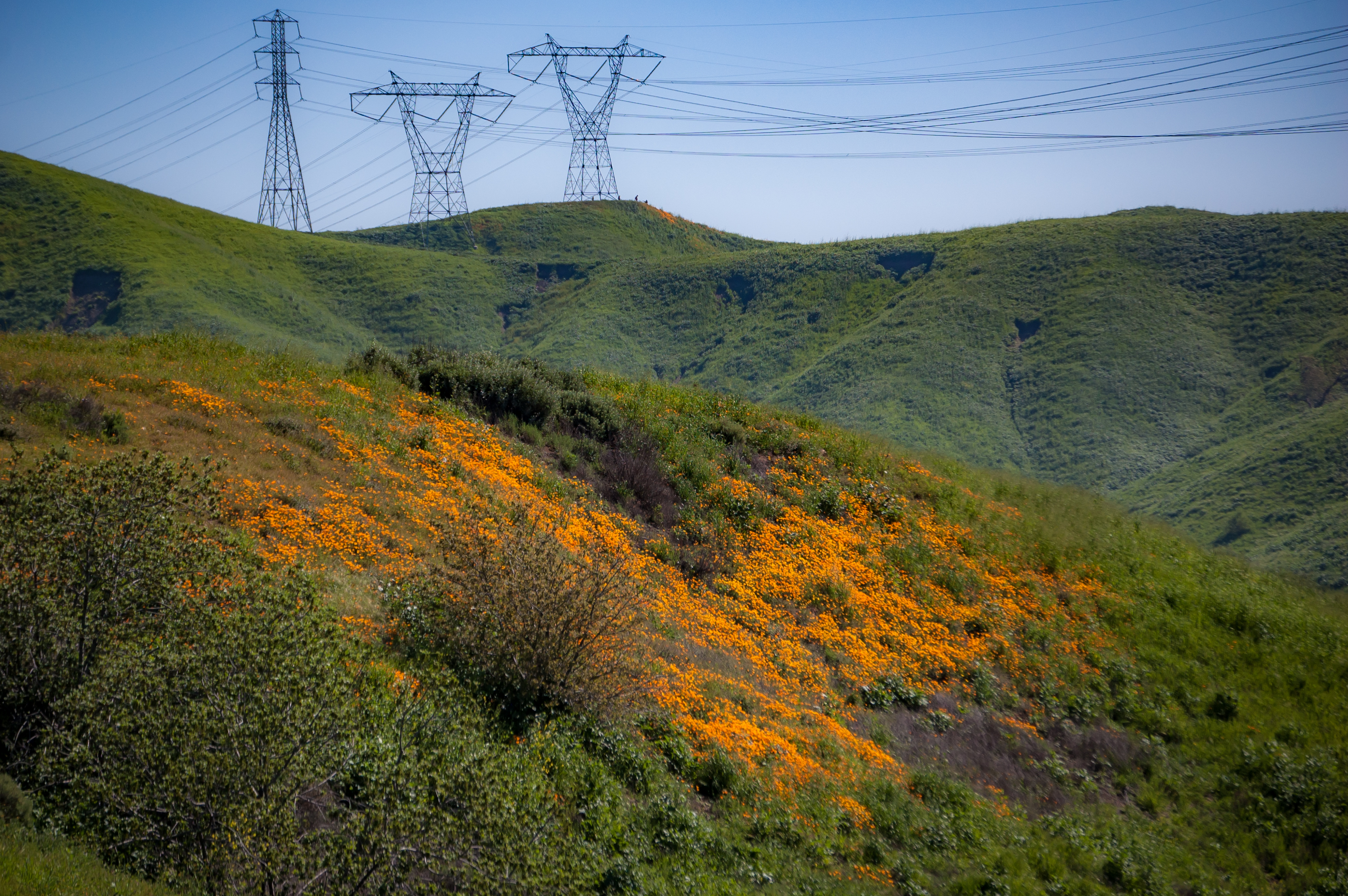
chinohills california unitedstates us
Poppies and Power
chinohills california unitedstates us
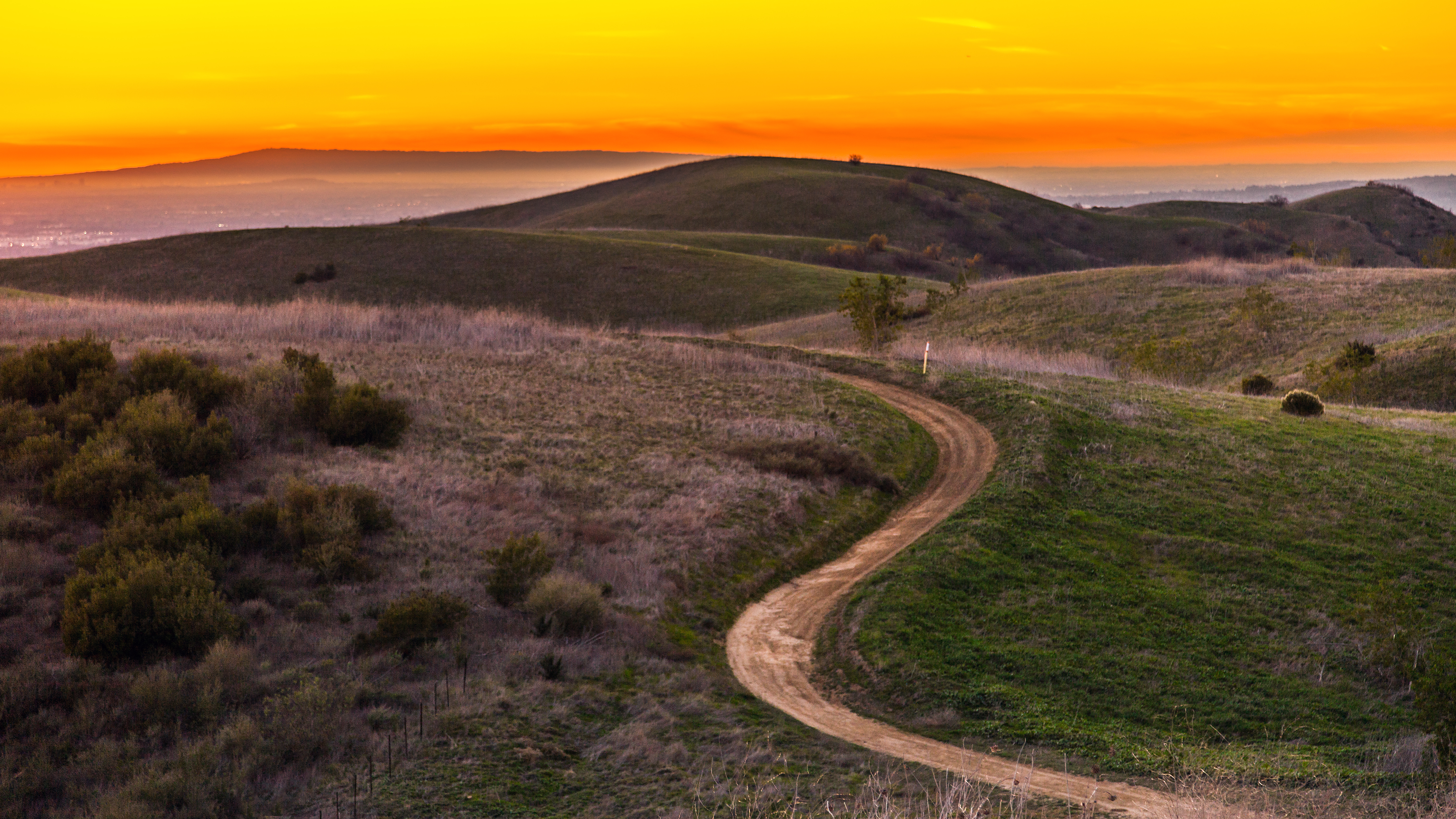
Sunday morning hiking in the hills
california unitedstates grove redwood brea sequoiasempervirens
Carbon Canyon 42
chinohills california unitedstates us
Southern California in green and gold
second
Hipstamatic_Winter_2013-2014_Musing__025
chinohills california unitedstates us
Chino Hills and the San Gabriel Mountains
blue sunset panorama golden evening hills trail chino singletrack
rolling blues and golds
california blue winter sky snow green grass purple sunny snowcapped southern wildflowers february peaks mountbaldy sangabrielmountains sanjuanhill chinohillsstatepark kevinpalmer tamron1750mmf28 pentaxk5
San Juan Hill
california usa lake reflection birds clouds day cloudy pelican mallard brea carboncanyon nikoncoolpixp500
Tranquillité
chinohills california unitedstates us
Chino Hills in green
wedding strobist marioherrera losserranoscountryclub
Wedding...
weather landscape scenery
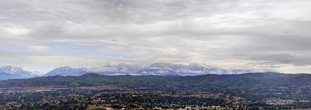
San Gabriel Mountains today
sangabrielmountains mtbaldy
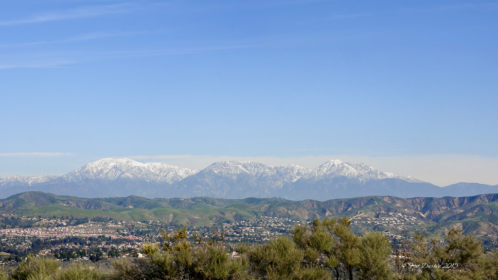
Part of the San Gabriel mountain chain surrounding Los Angeles and Orange Counties, including Mt. Baldy - a.k.a. Mt. San Antonio - 10,068 ft (left)
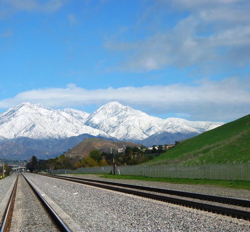
snow hills mountbaldy mouseion landscapedreams
mount Baldy
park trees light sunset plants sun green leaves forest big glow canyon trunk tall redwood carbon
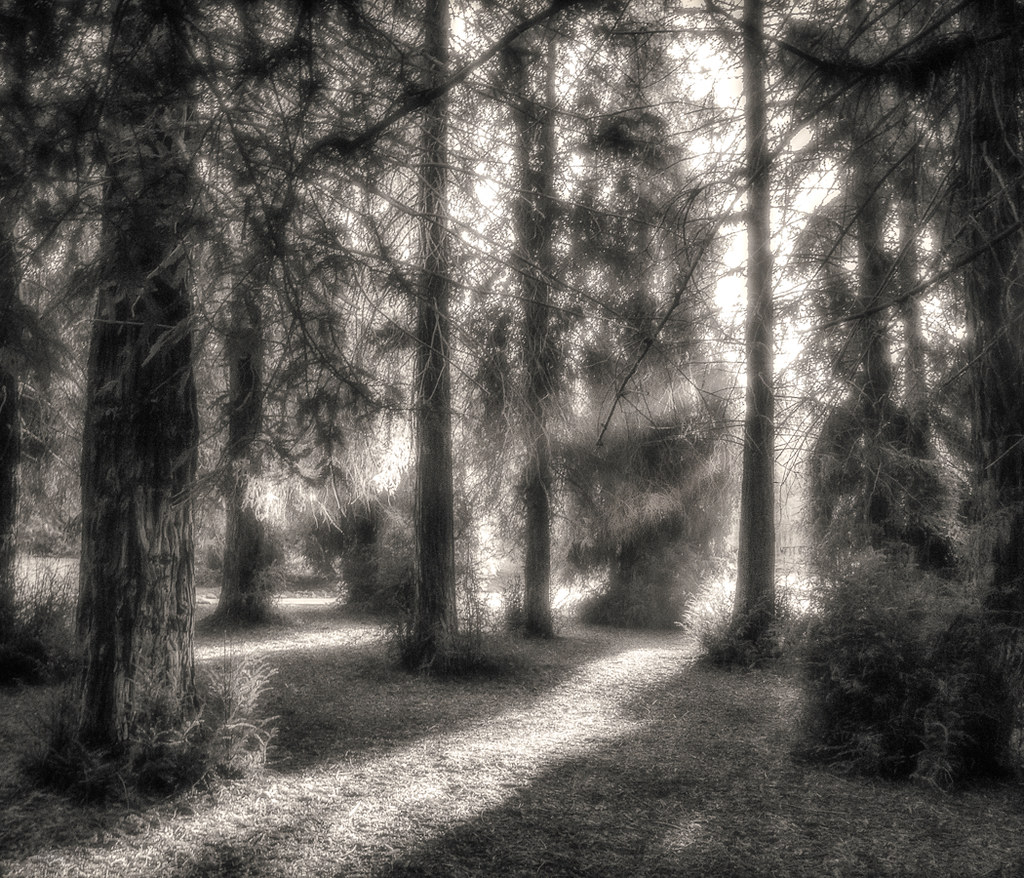
Sunset in the Redwood Forest