Elevation of Denton, MT, USA
Location: United States > Montana > Fergus County >
Longitude: -109.94741
Latitude: 47.3196952
Elevation: 1098m / 3602feet
Barometric Pressure: 89KPa
Elevation Map:
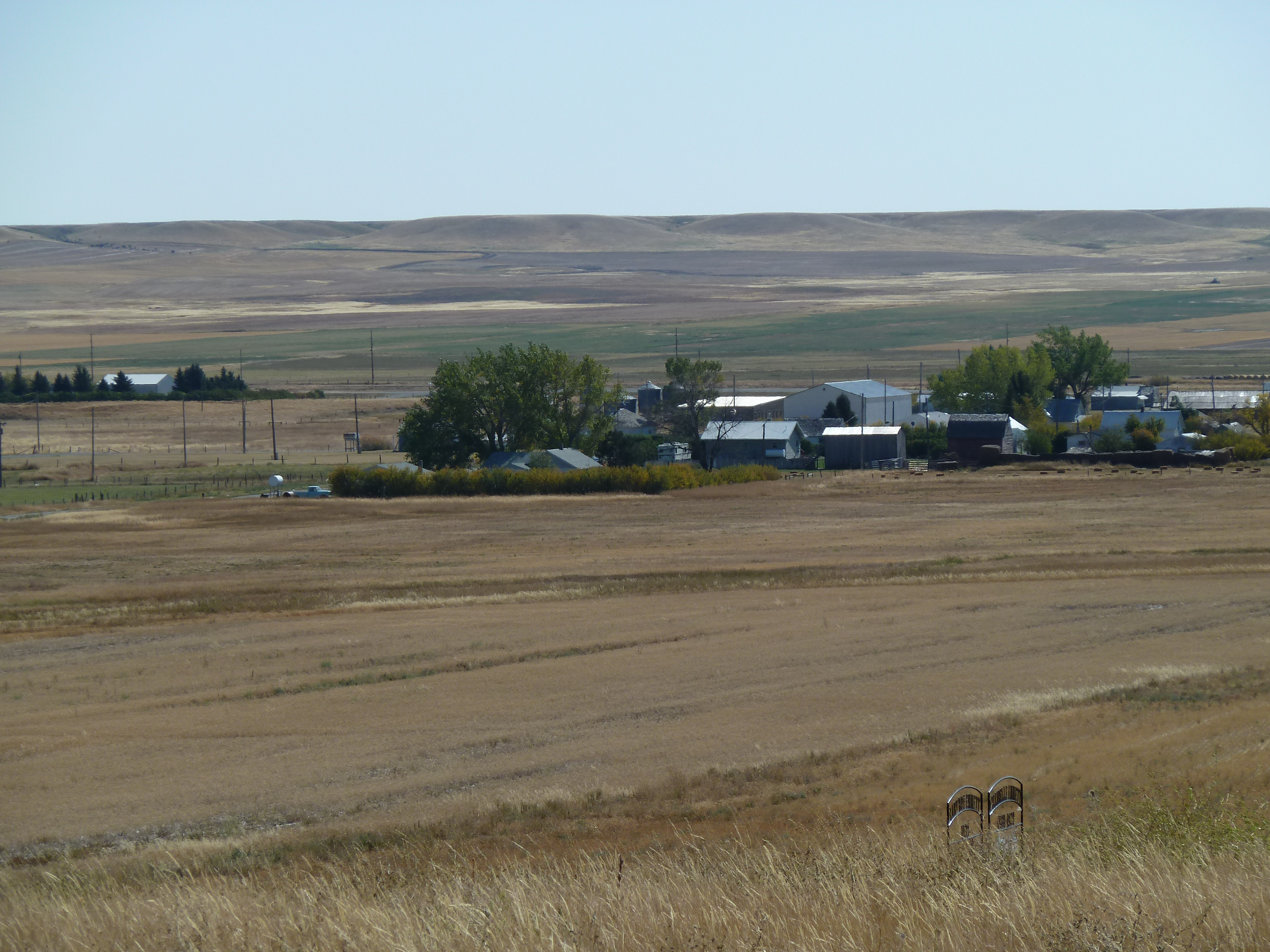
Satellite Map:
Related Photos:
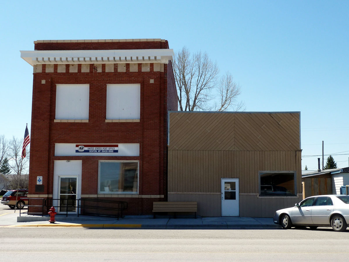
Denton, Montana 59430
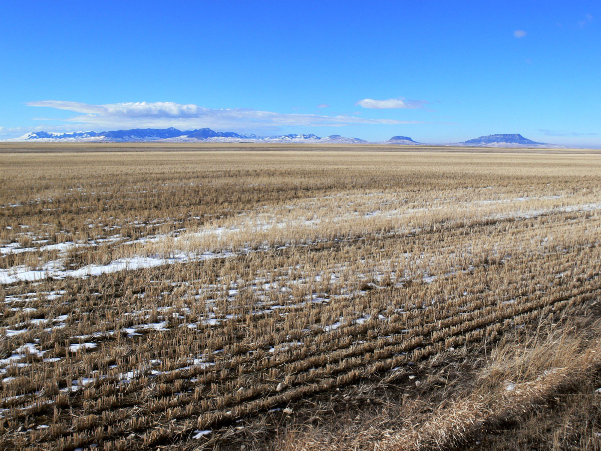
Coyote, Montana

A Bin Stands Alone

Empty Bin

Beautiful Red Barn

We Will Never 4 Get

A Load of Wheat
P1000332.JPG
P1000349.JPG
P1000344.JPG

John Deere 6600
Topographic Map of Denton, MT, USA
Find elevation by address:

Places near Denton, MT, USA:
Montana 200
Stanford
Montana 200
Montana 200
Judith Basin County
Moore
Straw Rd, Moore, MT, USA
Stanford, MT, USA
Montana
Wheatland County
Many Pines Campground
Neihart
619 Main St
Porphyry Peak
Monarch Mountain
44 MT-, Belt, MT, USA
Highwood Rd, Great Falls, MT, USA
Belt Post Office
Belt
31 Evans Riceville Rd, Belt, MT, USA
Recent Searches:
- Elevation of Elwyn Dr, Roanoke Rapids, NC, USA
- Elevation of Congressional Dr, Stevensville, MD, USA
- Elevation of Bellview Rd, McLean, VA, USA
- Elevation of Stage Island Rd, Chatham, MA, USA
- Elevation of Shibuya Scramble Crossing, 21 Udagawacho, Shibuya City, Tokyo -, Japan
- Elevation of Jadagoniai, Kaunas District Municipality, Lithuania
- Elevation of Pagonija rock, Kranto 7-oji g. 8"N, Kaunas, Lithuania
- Elevation of Co Rd 87, Jamestown, CO, USA
- Elevation of Tenjo, Cundinamarca, Colombia
- Elevation of Côte-des-Neiges, Montreal, QC H4A 3J6, Canada