Elevation of Deka Lake, British Columbia V0K, Canada
Location: Canada > British Columbia > Cariboo > Cariboo L >
Longitude: -120.78251
Latitude: 51.6481154
Elevation: 1111m / 3645feet
Barometric Pressure: 89KPa
Elevation Map:
Satellite Map:
Related Photos:
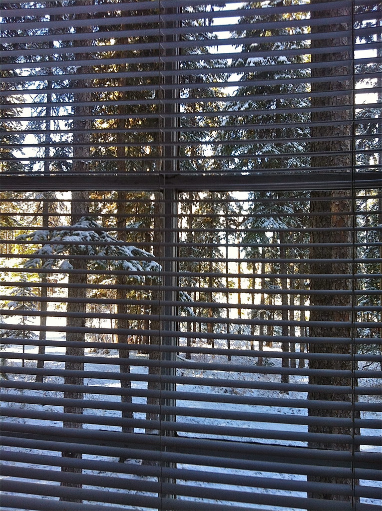
The first day of Winter ?

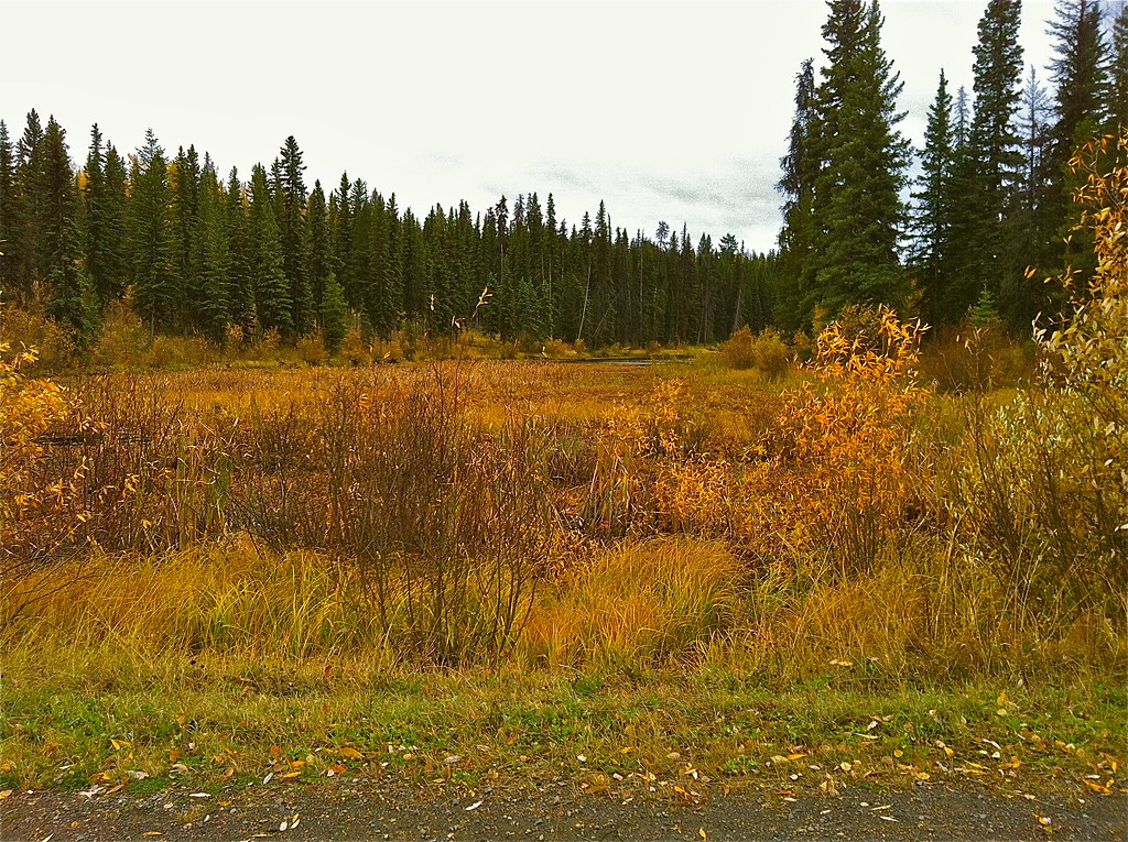
Fall arrived at Deka Lake

Horse Lake Trip 2014-09-06 007-LR

Sunset at Sheridan Lake

Deka Pic for 2006 Set

Sulphurous Lake Resort

May and the ice is gone at Deka Lake

May and the ice is gone at Deka Lake
October, the last days of Fall

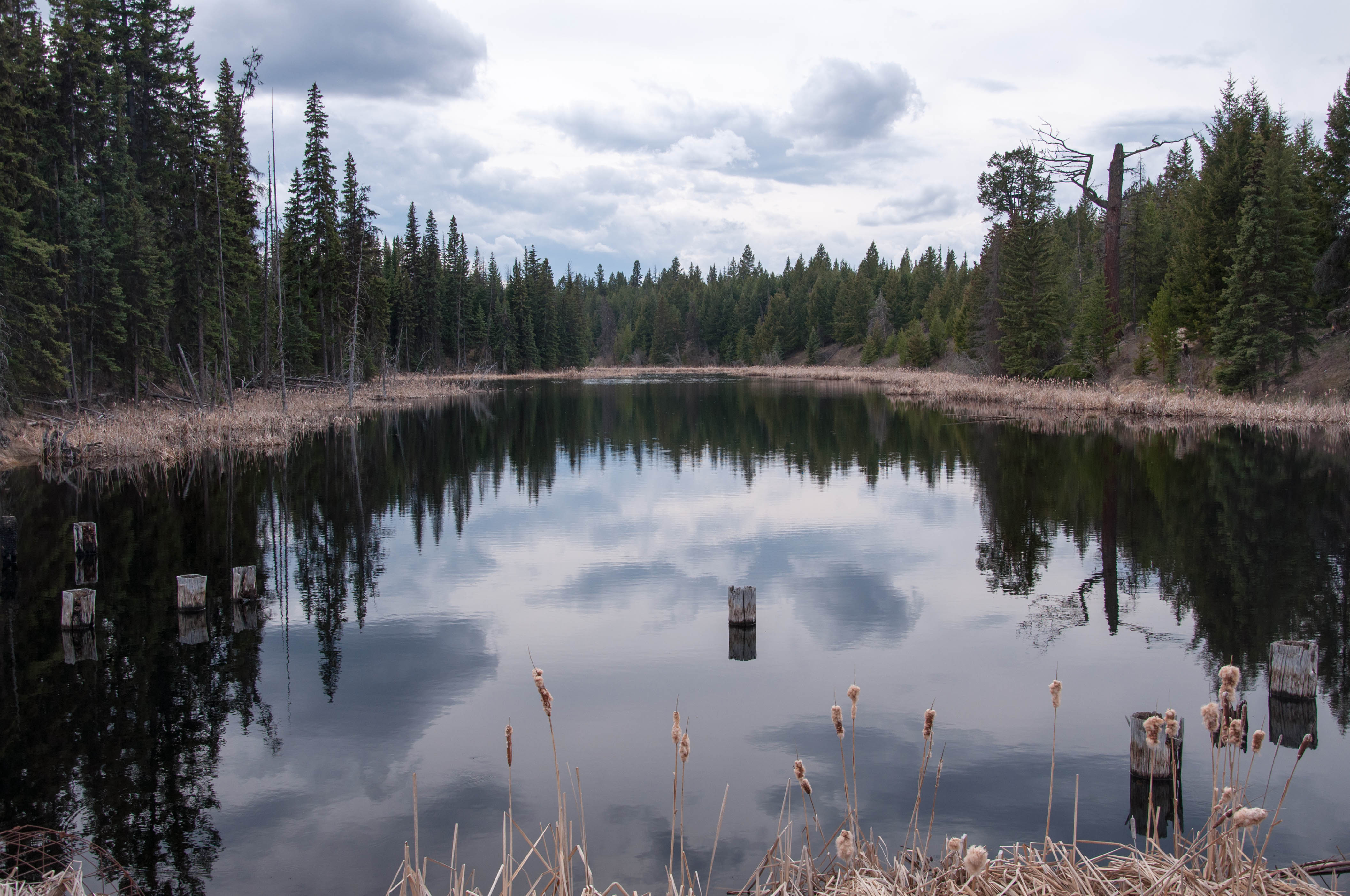
Life is good at Deka Lake
Roe Lake

Lake near Lone Butte

Kanada_06_064_Lac des Roches

Kanada_06_065_Lac des Roches

Roe lake
Topographic Map of Deka Lake, British Columbia V0K, Canada
Find elevation by address:

Places near Deka Lake, British Columbia V0K, Canada:
Sulphurous Lake
7613 Farquharson Rd
Deka Lake Fire Dept
Mahood Lake Road
Bridge Lake
Sheridan Lake
Cariboo L
Interlakes
7109 Lakes Blvd
Bridge Lake
Canim Lake South Road
West King Lake
Canim Lake
7550 Eagleridge Rd
Lac Des Roches Resort
Canim-Hendrix Lake Rd, Forest Grove, BC V0K 1M0, Canada
Cariboo H
Little Fort Fly & Tackle
Little Fort
Deadman Vidette Road
Recent Searches:
- Elevation of Elwyn Dr, Roanoke Rapids, NC, USA
- Elevation of Congressional Dr, Stevensville, MD, USA
- Elevation of Bellview Rd, McLean, VA, USA
- Elevation of Stage Island Rd, Chatham, MA, USA
- Elevation of Shibuya Scramble Crossing, 21 Udagawacho, Shibuya City, Tokyo -, Japan
- Elevation of Jadagoniai, Kaunas District Municipality, Lithuania
- Elevation of Pagonija rock, Kranto 7-oji g. 8"N, Kaunas, Lithuania
- Elevation of Co Rd 87, Jamestown, CO, USA
- Elevation of Tenjo, Cundinamarca, Colombia
- Elevation of Côte-des-Neiges, Montreal, QC H4A 3J6, Canada