Elevation of Canim Lake South Road, Canim Lake S Rd, Canim Lake, BC V0K 1J0, Canada
Location: Canada > British Columbia > Cariboo > Cariboo H > Forest Grove >
Longitude: -120.83938
Latitude: 51.8167442
Elevation: 778m / 2552feet
Barometric Pressure: 92KPa
Elevation Map:
Satellite Map:
Related Photos:
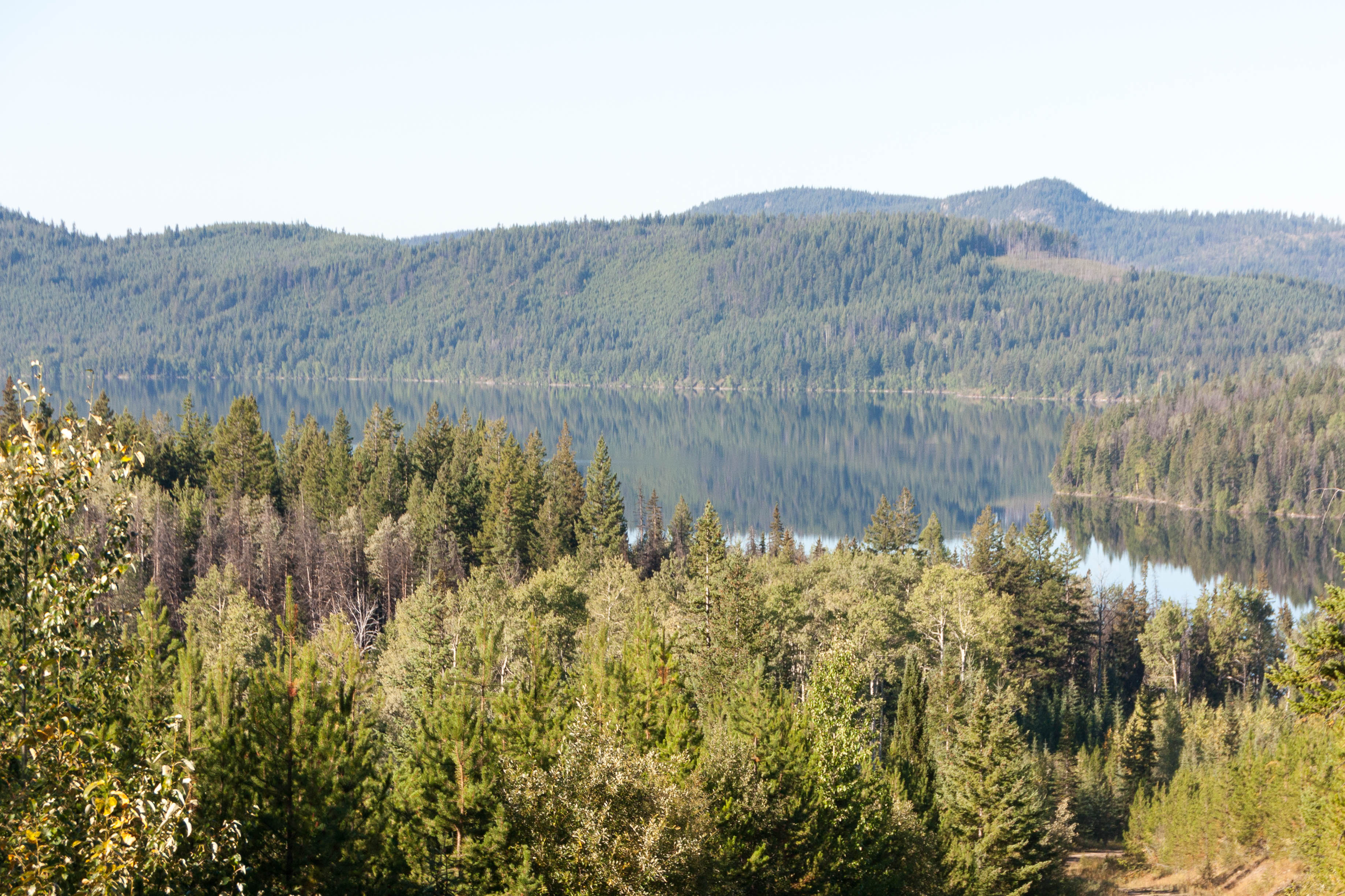
Horse Lake Trip 2014-09-06 007-LR
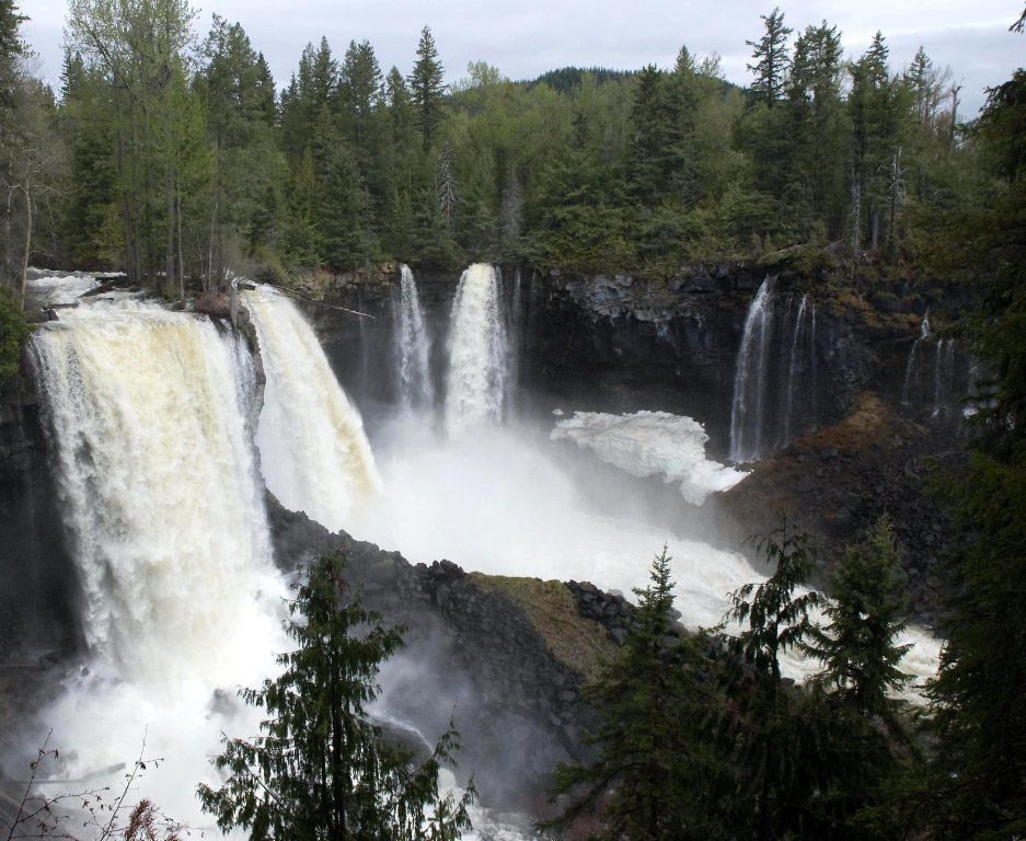
Canim Falls. In Wells Gray Park
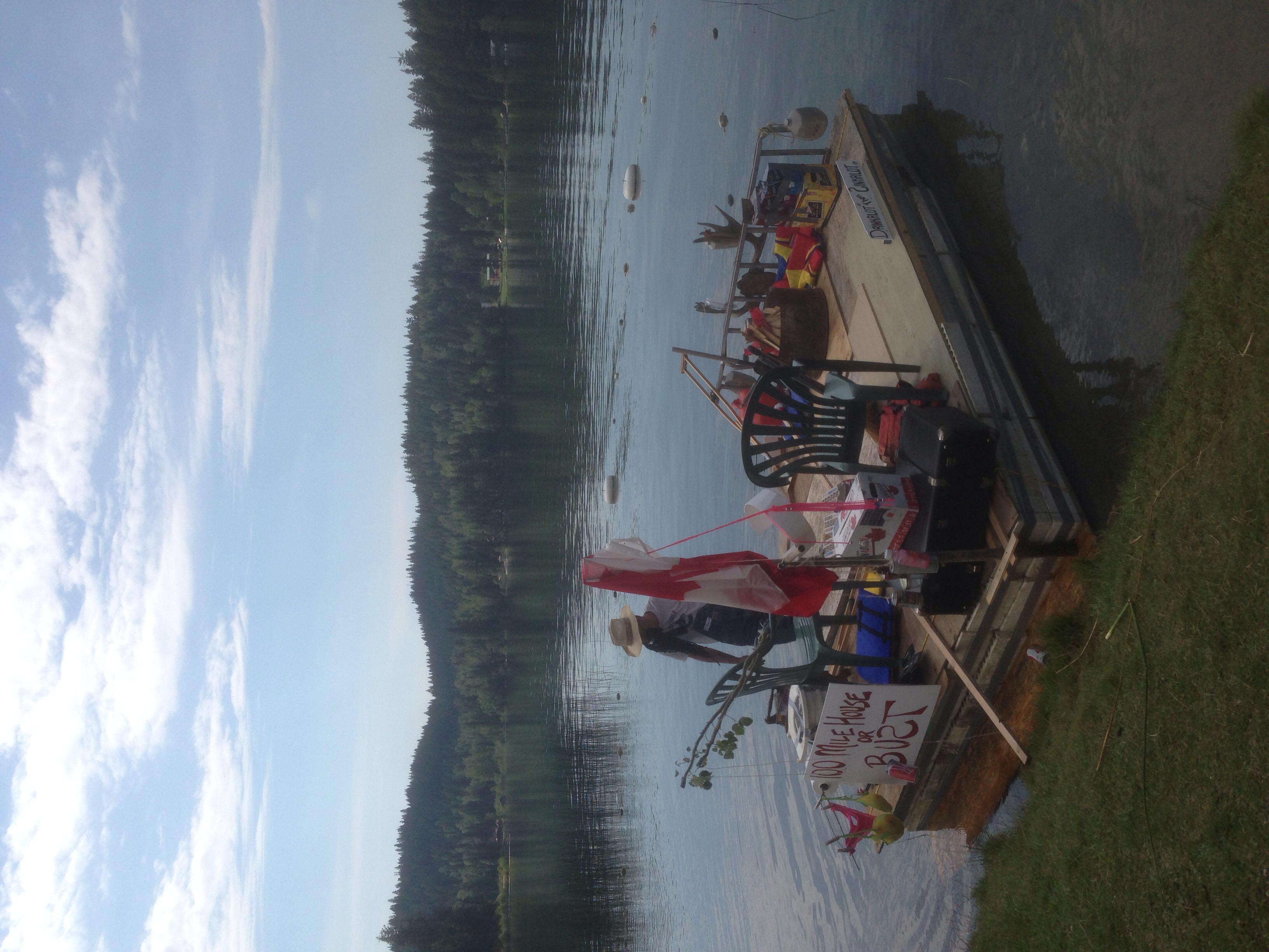
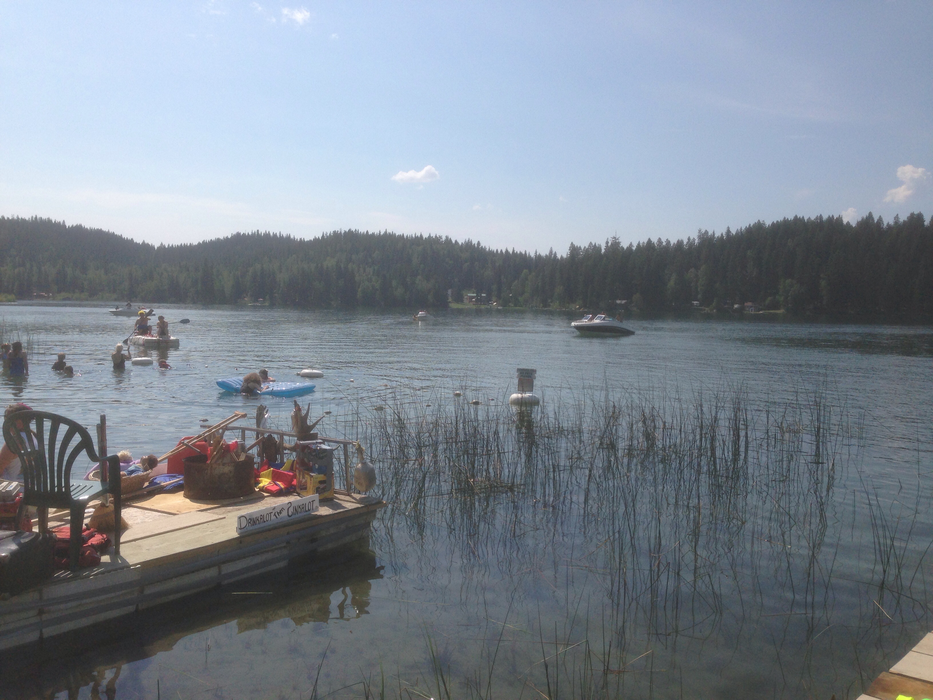
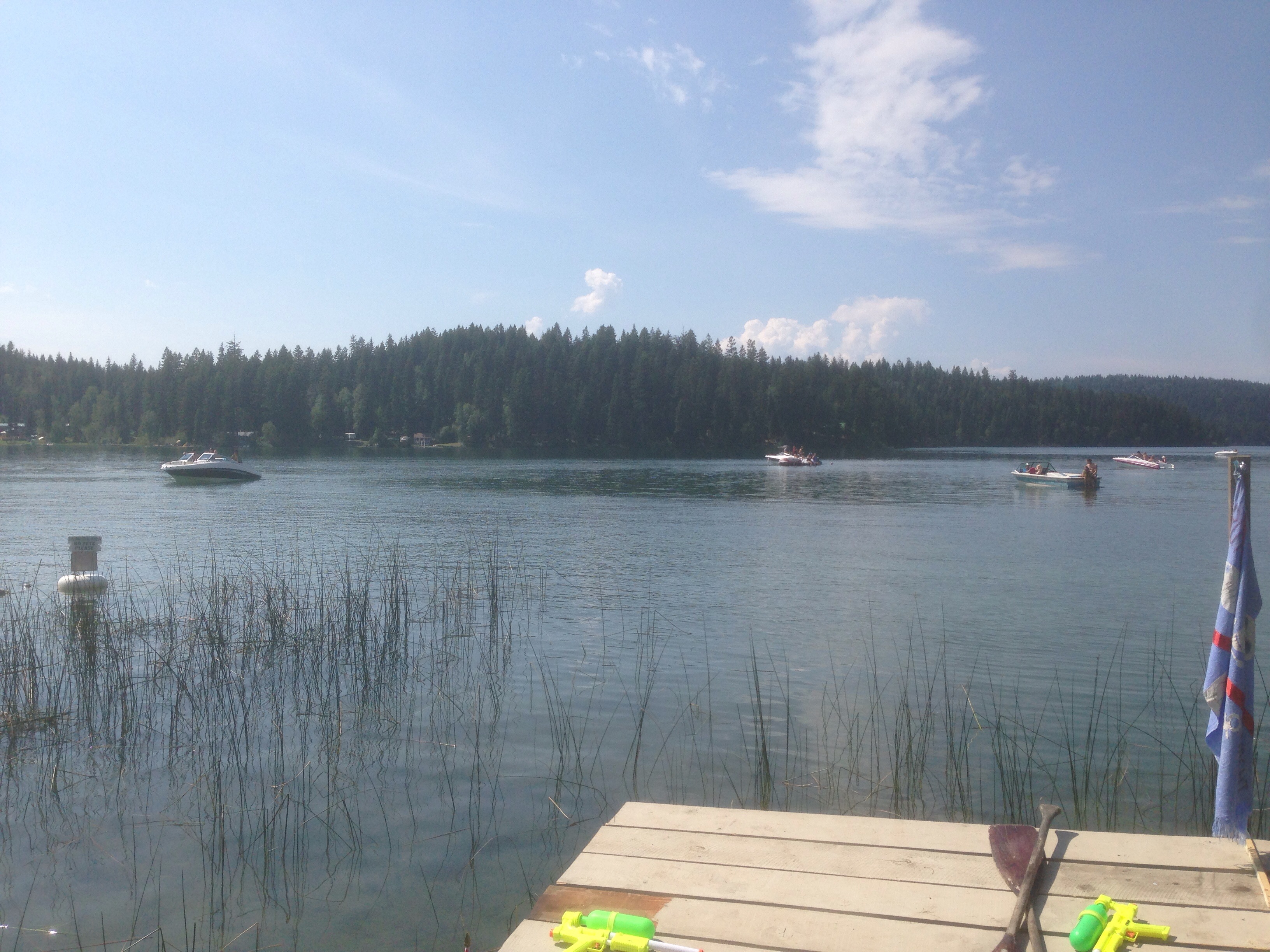
Red Neck Regatta
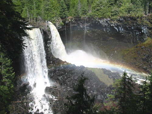
Trip to the Waterfalls

Red Neck Regatta

Kanada_06_064_Lac des Roches
Red Neck Regatta

Kanada_06_065_Lac des Roches
Red Neck Regatta
Topographic Map of Canim Lake South Road, Canim Lake S Rd, Canim Lake, BC V0K 1J0, Canada
Find elevation by address:

Places near Canim Lake South Road, Canim Lake S Rd, Canim Lake, BC V0K 1J0, Canada:
Canim-Hendrix Lake Rd, Forest Grove, BC V0K 1M0, Canada
Mahood Lake Road
Canim Lake
Deka Lake
Sulphurous Lake
Deka Lake Fire Dept
7613 Farquharson Rd
Interlakes
7109 Lakes Blvd
Cariboo H
Sheridan Lake
Cariboo L
Bridge Lake
West King Lake
Bridge Lake
7550 Eagleridge Rd
Lac Des Roches Resort
Helmcken Falls
Dawson Falls
Little Fort Fly & Tackle
Recent Searches:
- Elevation of Warwick, RI, USA
- Elevation of Fern Rd, Whitmore, CA, USA
- Elevation of 62 Abbey St, Marshfield, MA, USA
- Elevation of Fernwood, Bradenton, FL, USA
- Elevation of Felindre, Swansea SA5 7LU, UK
- Elevation of Leyte Industrial Development Estate, Isabel, Leyte, Philippines
- Elevation of W Granada St, Tampa, FL, USA
- Elevation of Pykes Down, Ivybridge PL21 0BY, UK
- Elevation of Jalan Senandin, Lutong, Miri, Sarawak, Malaysia
- Elevation of Bilohirs'k