Elevation of Cariboo L, BC V0K, Canada
Location: Canada > British Columbia > Cariboo >
Longitude: -120.89057
Latitude: 51.5323812
Elevation: 1122m / 3681feet
Barometric Pressure: 89KPa
Elevation Map:
Satellite Map:
Related Photos:
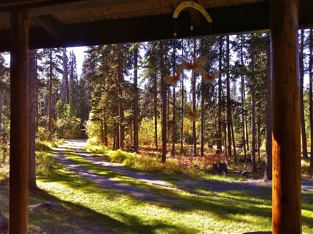
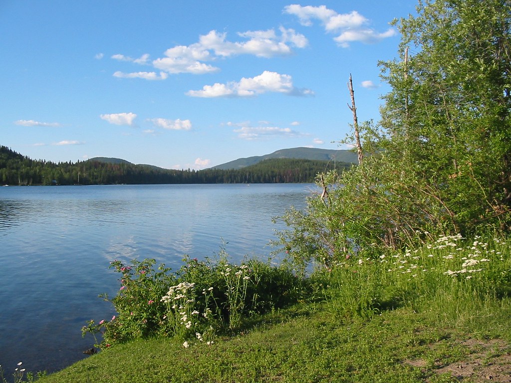
Fall arrived at Deka Lake
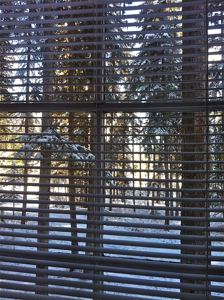
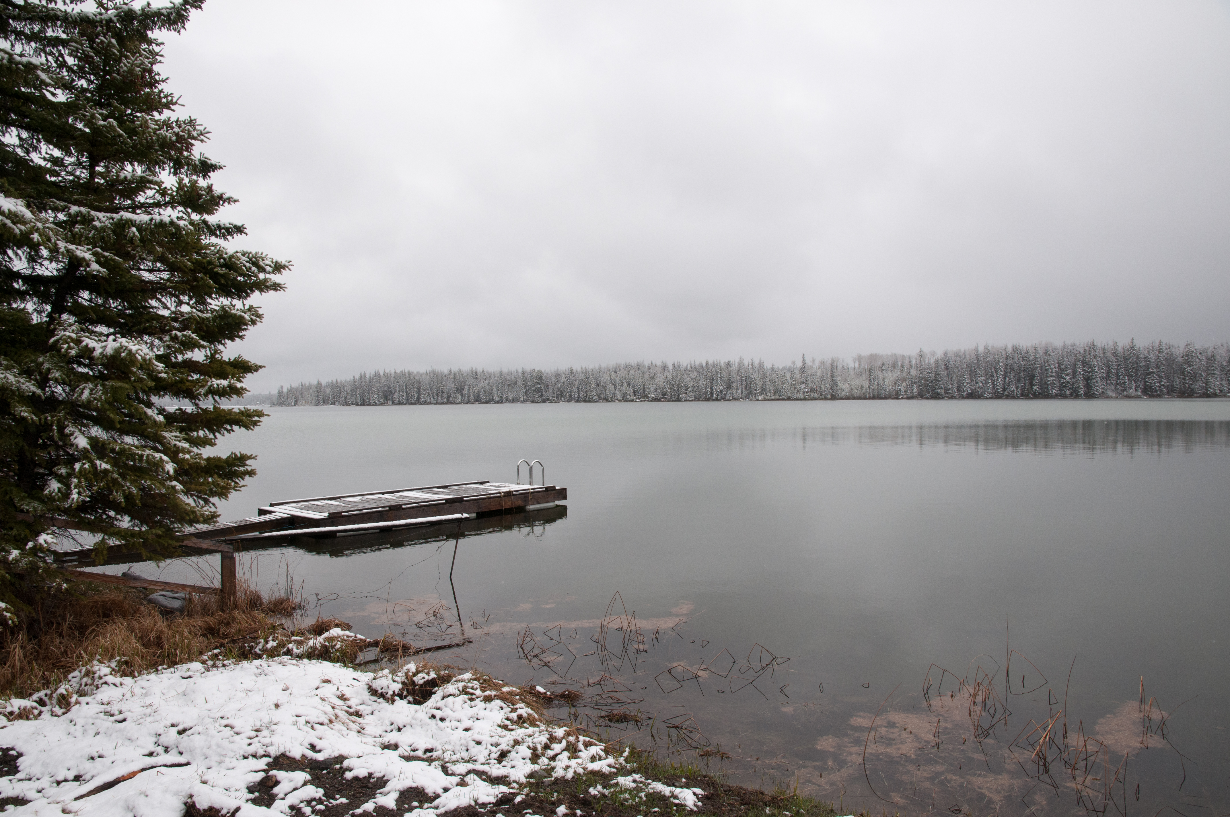
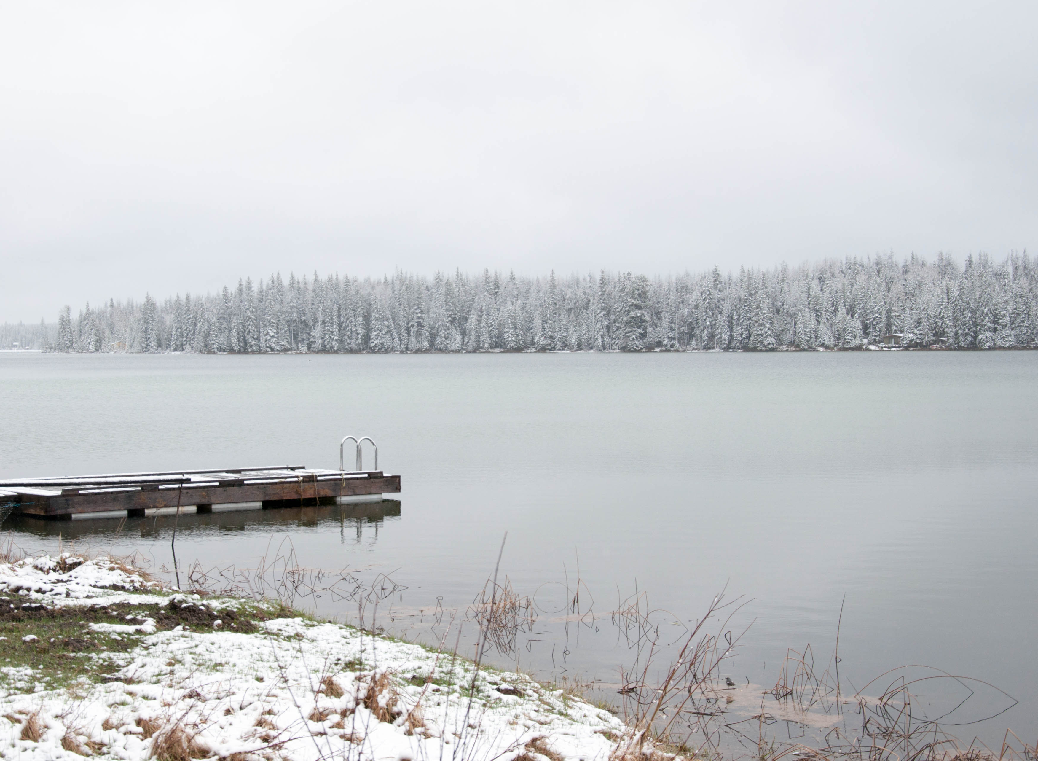
The first day of Winter ?

Bridge Lake, BC

Fishing in the rain
20000730-002
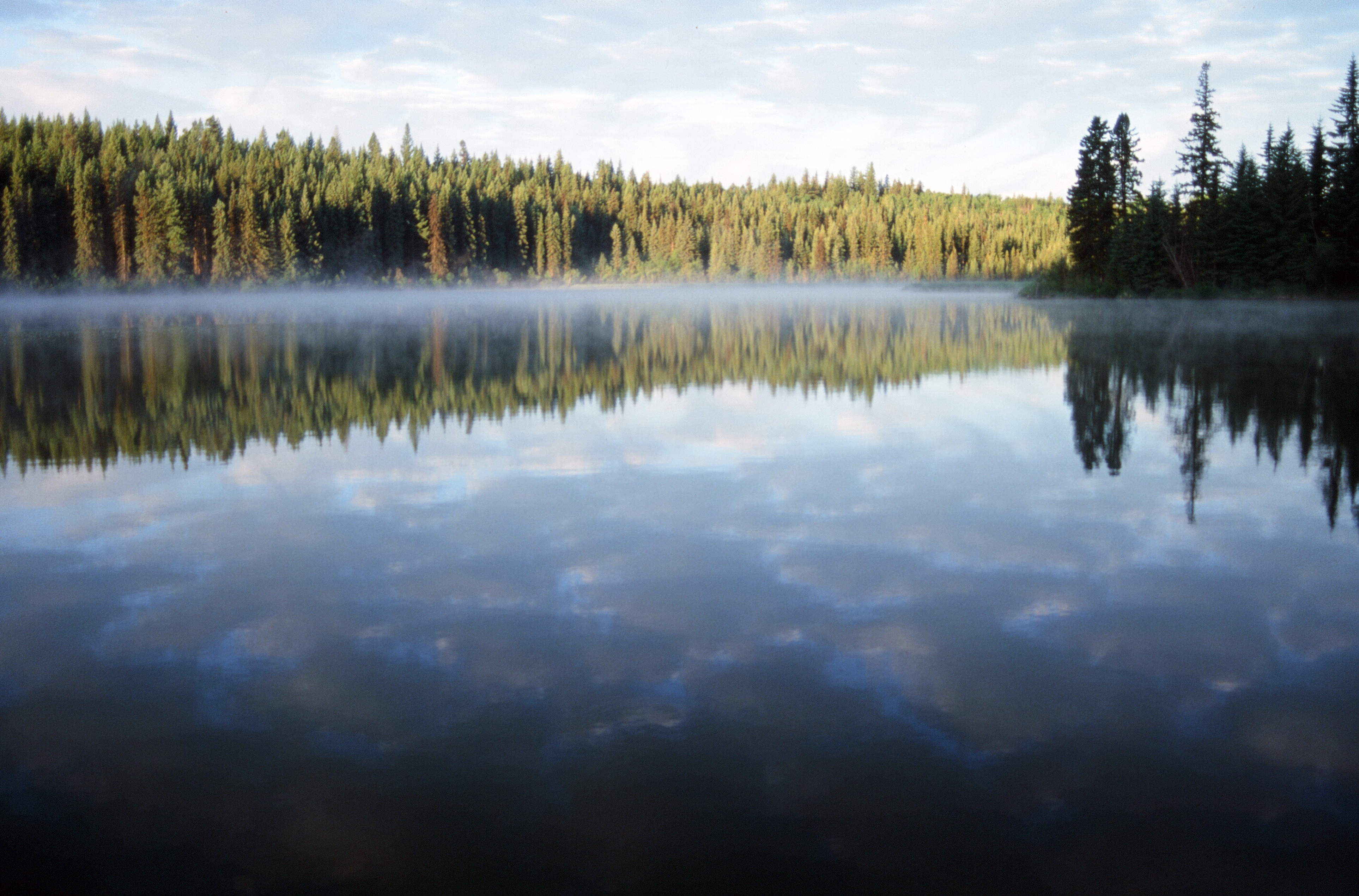
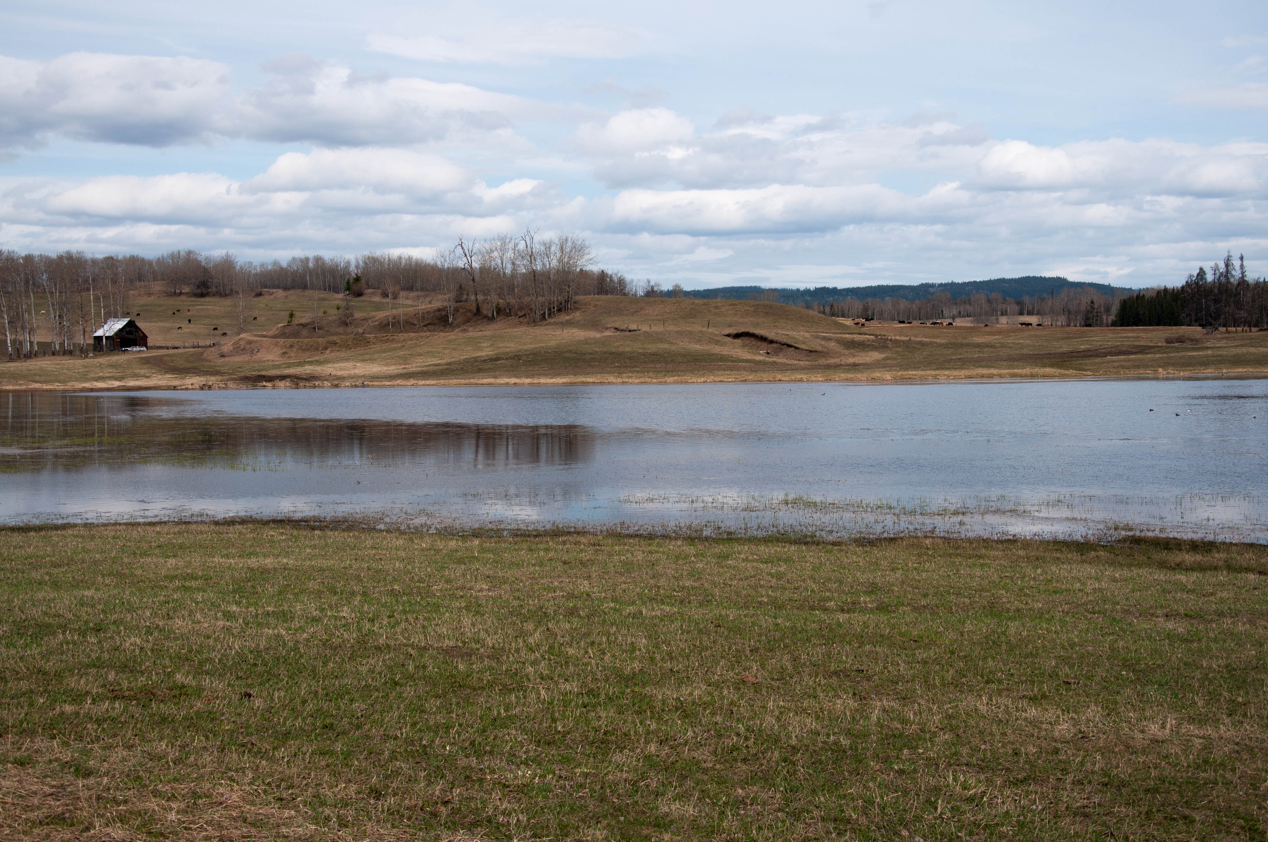
May and the ice is gone at Deka Lake
20000729-004

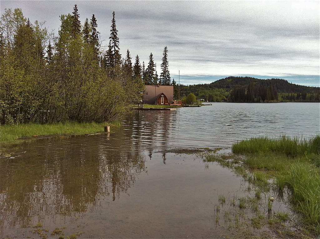
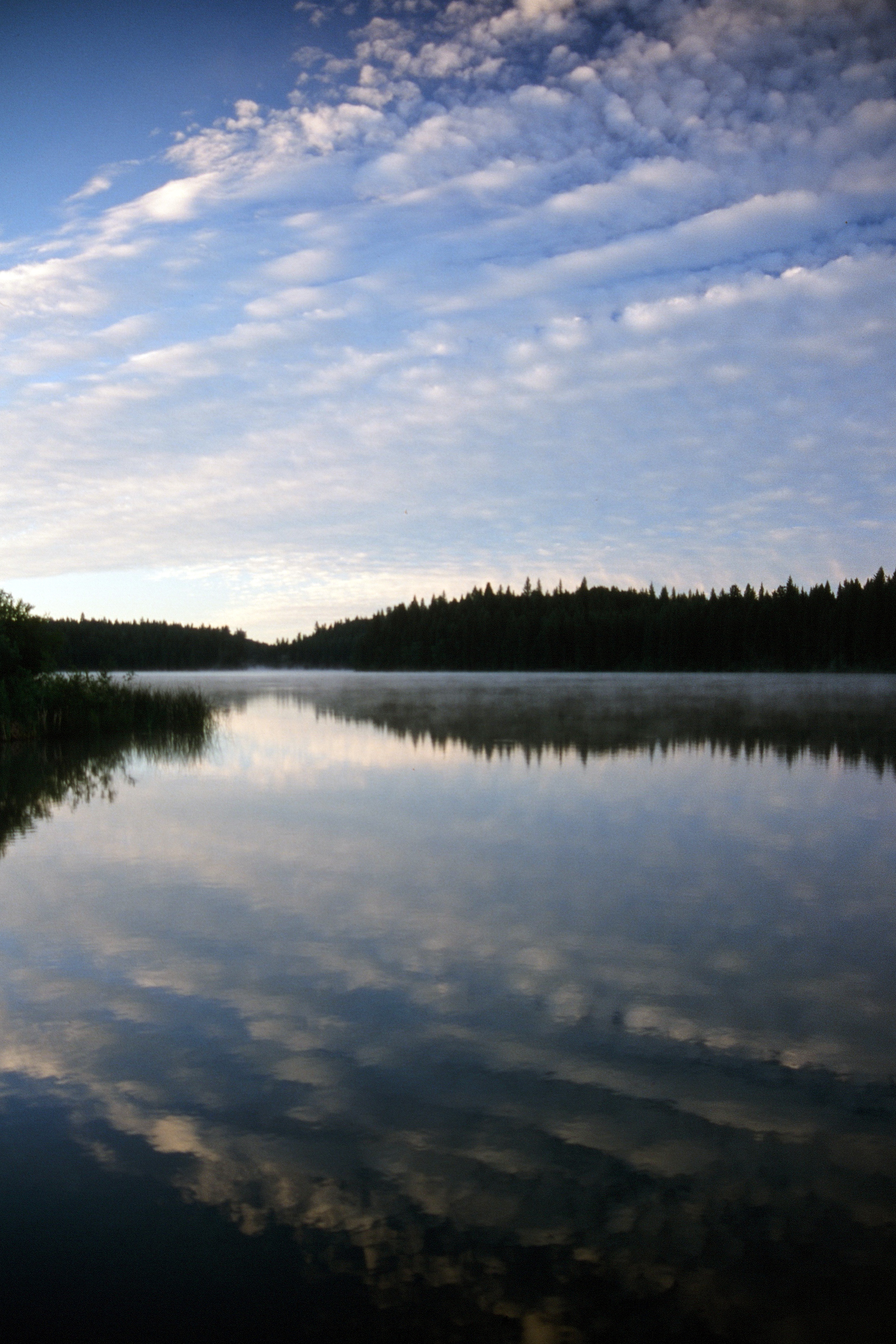
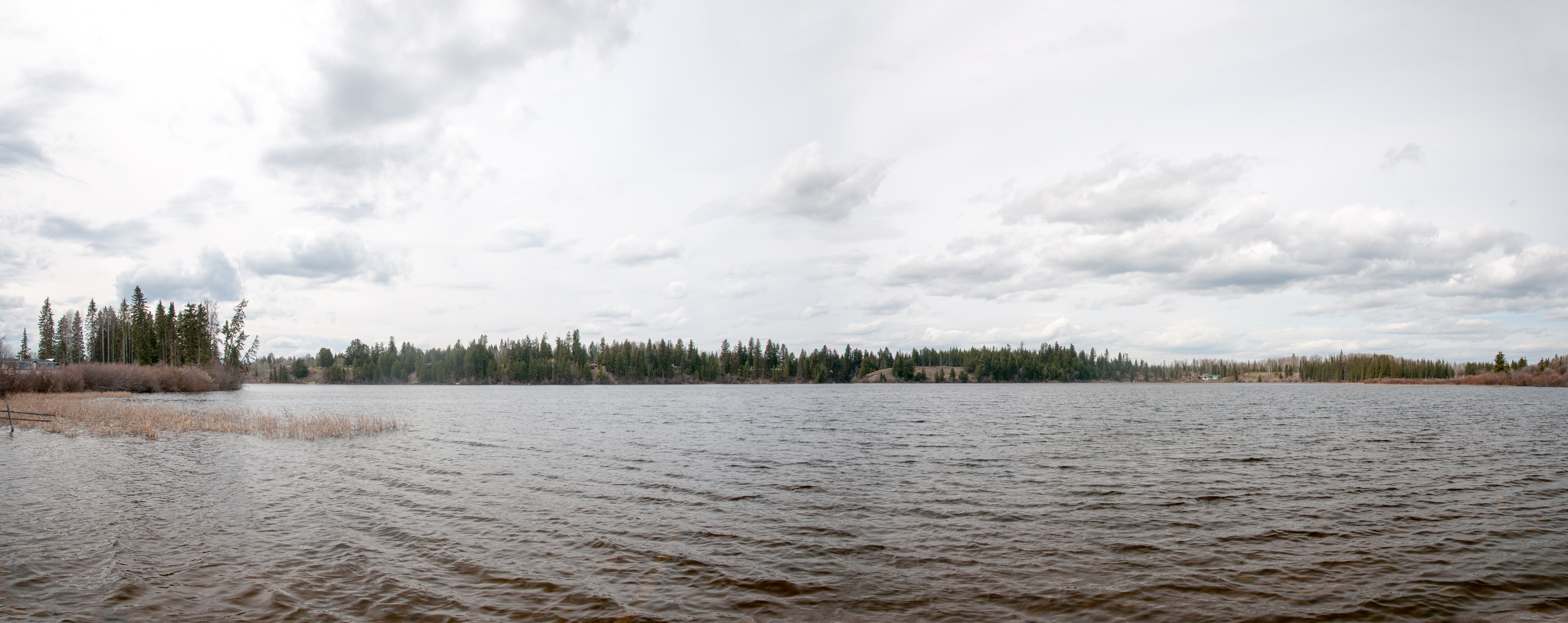
Dusk over Deka Lake
Life is good at Deka Lake
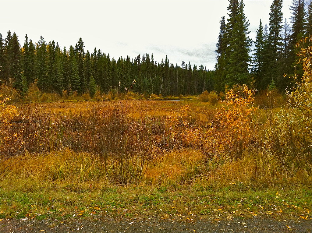
October, the last days of Fall

Crystal Waters Guest Ranch

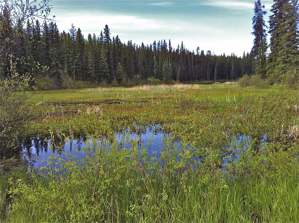
Meadow flowers at the dump
May and the ice is gone at Deka Lake
Deka Pic for 2006 Set

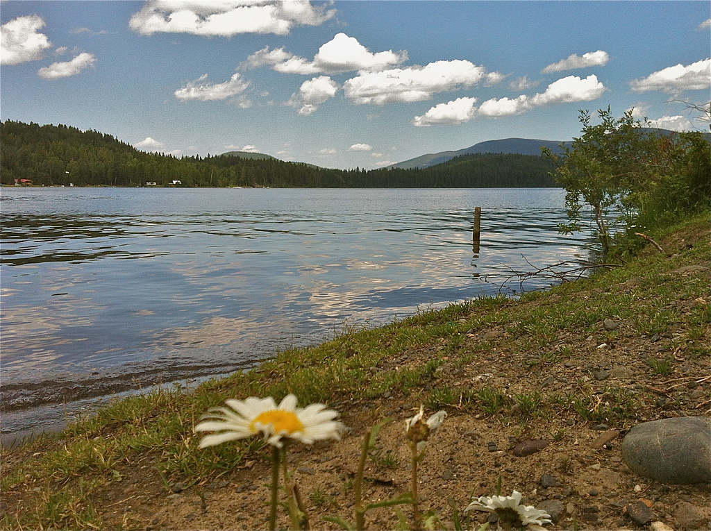
Sunset at Sheridan Lake
Sheridan Lake
Roe lake
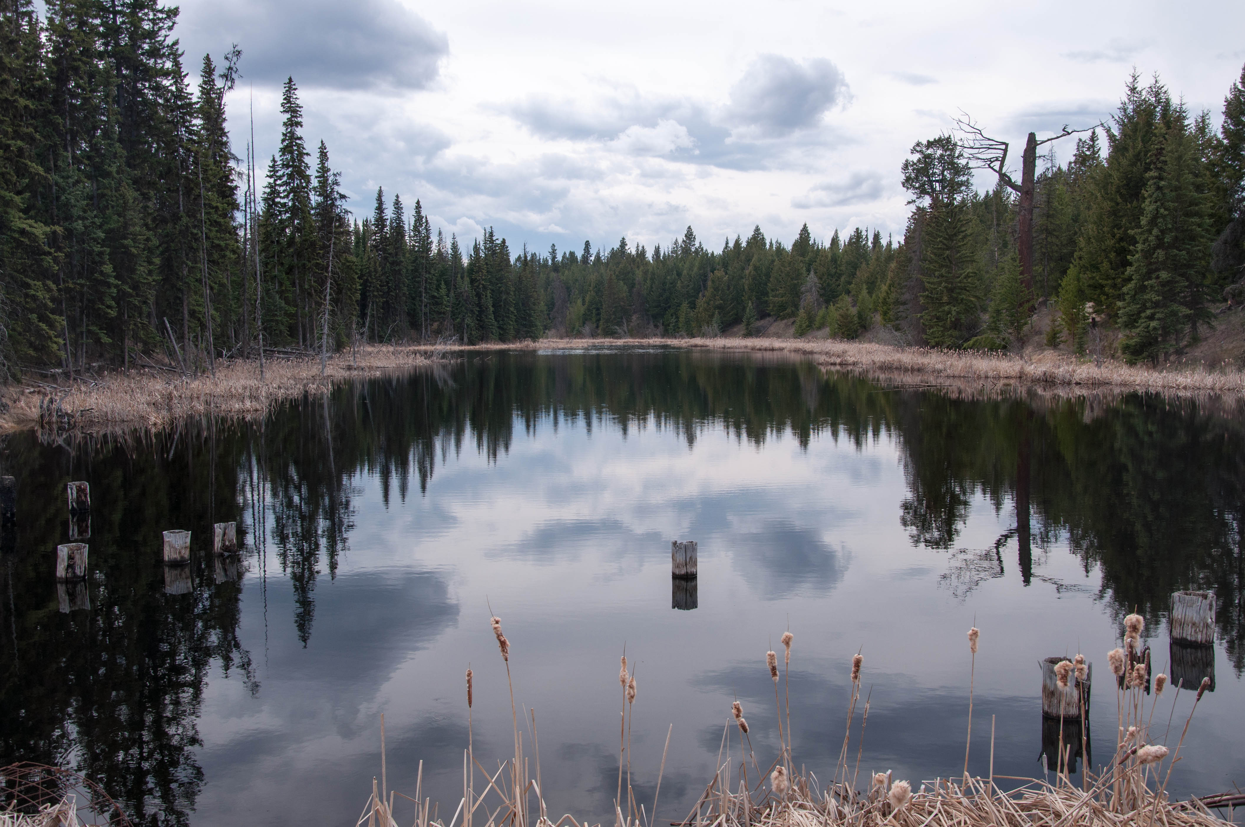
Roe Lake
Sheridan Lake

Lazy Cow
20140823-5323
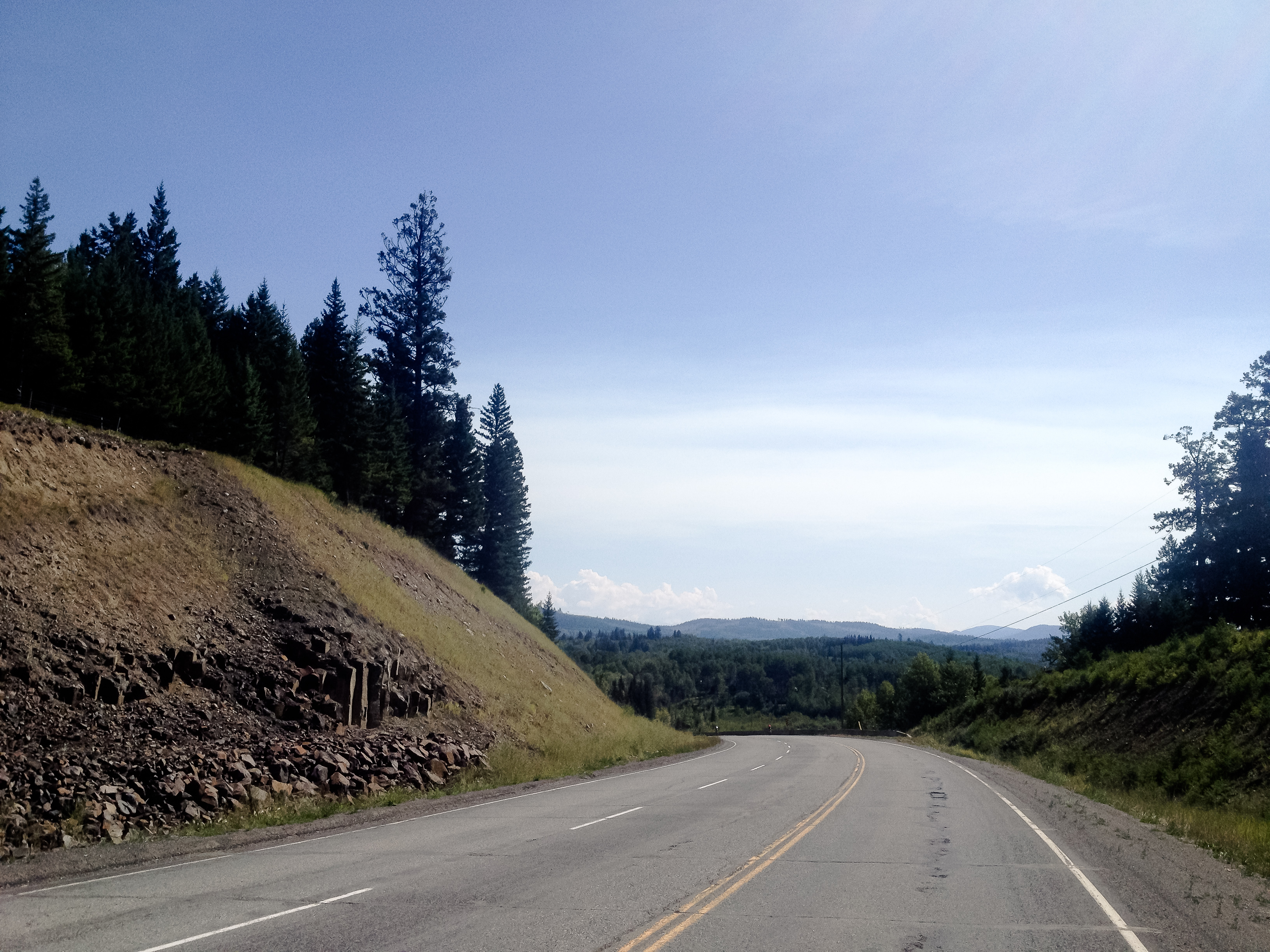
Lake near Lone Butte
Topographic Map of Cariboo L, BC V0K, Canada
Find elevation by address:

Places in Cariboo L, BC V0K, Canada:
Places near Cariboo L, BC V0K, Canada:
Sheridan Lake
7109 Lakes Blvd
Interlakes
Deka Lake Fire Dept
7613 Farquharson Rd
Sulphurous Lake
Bridge Lake
Deka Lake
Bridge Lake
Mahood Lake Road
7550 Eagleridge Rd
Canim Lake
Lac Des Roches Resort
West King Lake
Canim Lake South Road
Canim-Hendrix Lake Rd, Forest Grove, BC V0K 1M0, Canada
Cariboo H
Deadman Vidette Road
Red Lake
Thompson-nicola J
Recent Searches:
- Elevation of Rojo Ct, Atascadero, CA, USA
- Elevation of Flagstaff Drive, Flagstaff Dr, North Carolina, USA
- Elevation of Avery Ln, Lakeland, FL, USA
- Elevation of Woolwine, VA, USA
- Elevation of Lumagwas Diversified Farmers Multi-Purpose Cooperative, Lumagwas, Adtuyon, RV32+MH7, Pangantucan, Bukidnon, Philippines
- Elevation of Homestead Ridge, New Braunfels, TX, USA
- Elevation of Orchard Road, Orchard Rd, Marlborough, NY, USA
- Elevation of 12 Hutchinson Woods Dr, Fletcher, NC, USA
- Elevation of Holloway Ave, San Francisco, CA, USA
- Elevation of Norfolk, NY, USA