Elevation of Deer Park, BC V0G, Canada

Location: Canada > British Columbia > Central Kootenay > Central Kootenay J >

Longitude: -118.03943

Latitude: 49.416217

Elevation: 453m / 1486feet

Barometric Pressure: 96KPa

Elevation Map:

elevation map of Deer Park, BC V0G, Canada

Satellite Map:

Satellite map of Deer Park, BC V0G, Canada

Related Photos:

truck driversseat truckersview
Mt. Robson
arrowlake britishcolumbia columbiaandwestern kootenay viewfromabandonedrailroad greatcanadianrivers fujichromevelvia cans2s pentaxlife
Abandoned Railroad011
britishcolumbia tug kootenay arrowlake logboom columbiaandwestern viewfromabandonedrailroad
Abandoned Railroad008
winter panorama canada color water photography bc view photos britishcolumbia olympus canadian valley kootenays castlegar e510 arrowlake westkootenays olympusdigital canadabritishcolumbia scenicwater lovelyclouds cans2s evolte510 eaglink
Arrow Lake Panorama in Jan.
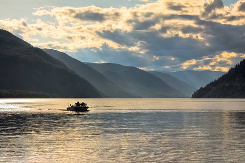
sunset summer lake canada mountains water clouds forest canon landscape photography boat high amazing scenery bc dynamic columbia boating british summertime arrow range hdr castlegar t2i
Boat on the Arrow Lakes HDR
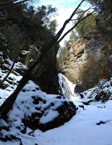
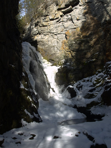
winter snow rock waterfall hiking falls kootenays castlegar arrowlakes tulipcreek tulipcreekfalls columbiarivertributary
Tulip Creek Falls
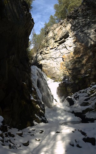
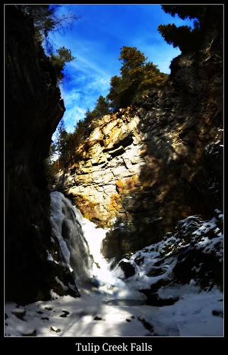
winter snow rock waterfall hiking falls kootenays castlegar arrowlakes tulipcreek tulipcreekfalls columbiarivertributary
Tulip Creek Falls Panorama
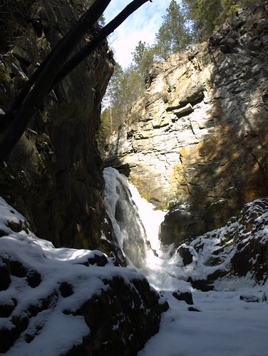
winter snow rock waterfall hiking falls kootenays castlegar arrowlakes tulipcreek tulipcreekfalls columbiarivertributary
Tulip Creek Falls
winter snow rock waterfall hiking falls kootenays castlegar arrowlakes tulipcreek tulipcreekfalls columbiarivertributary
Tulip Creek Falls
winter snow rock waterfall hiking falls kootenays castlegar arrowlakes tulipcreek tulipcreekfalls columbiarivertributary
Tulip Creek Falls
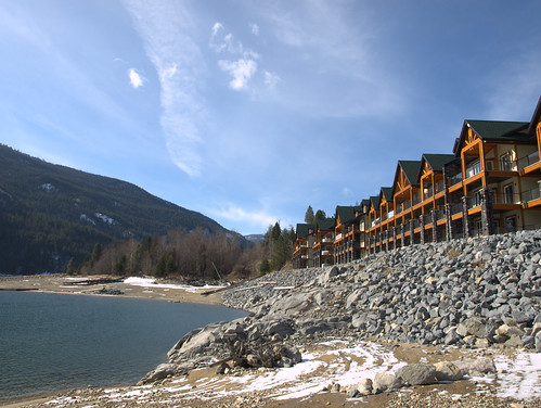
lake river boats dock columbiariver mooring kootenays castlegar arrowlakes arrowlakesresort
Arrow Lakes Resort
In the kootenay!
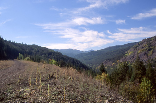
bridge britishcolumbia kootenay abandonedrailroad arrowlake fujichromevelvia cans2s columbiaandwestern
Abandoned Railroad009
abandoned kootenay oldslides canadianpacificrailway abandonedrailway pentaxlife columbiaandwestern abandonedrailroad003
West of Bulldog Tunnel
path pine nature landscape park provincial castlegar bc syringaprovincialpark kootneyregion britishcolumbia canada taniasimpson photographer photography photograph photo image copyrightimage nikon nikond7000 ponderosapine flora
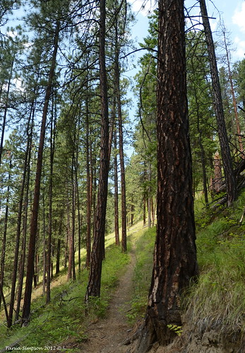
Path Through the Park
syringaprovincialpark kootneyregion britishcolumbia canada taniasimpson photographer photography photograph photo image copyrightimage nikon nikond7000 ponderosapine flora castlegar
Path Through the Park
nature landscape park trees pine ponderosapine vegetation syringaprovincialpark castlegar kootneyregion bc britishcolumbia canada taniasimpson photographer photography photograph photo image copyrightimage nikon nikond7000 water creek leaves branches rock bridge
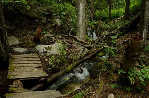
Bridge in Need of Repair
castlegar syringaprovincialpark kootneyregion britishcolumbia canada taniasimpson photographer photography photograph photo image copyrightimage nikon nikond7000 ponderosapine flora landscape nature leaves
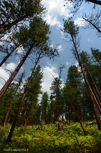
Looking up the Hill