Elevation of British Columbia 3, BC-3, British Columbia, Canada
Location: Canada > British Columbia > Kootenay Boundary > Kootenay Boundary B > Rossland >
Longitude: -118.04180
Latitude: 49.2581111
Elevation: 1469m / 4820feet
Barometric Pressure: 85KPa
Elevation Map:
Satellite Map:
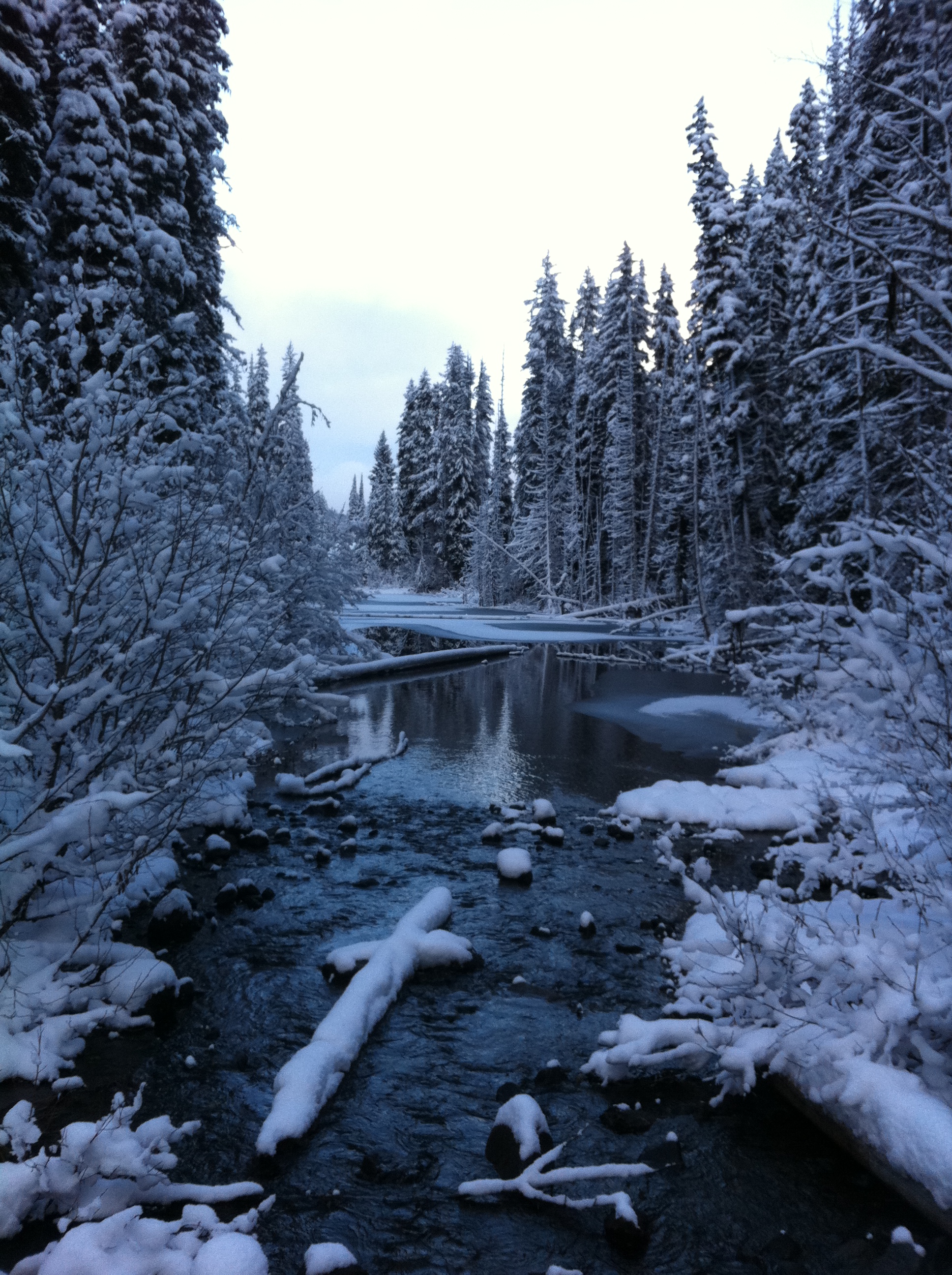
Related Photos:
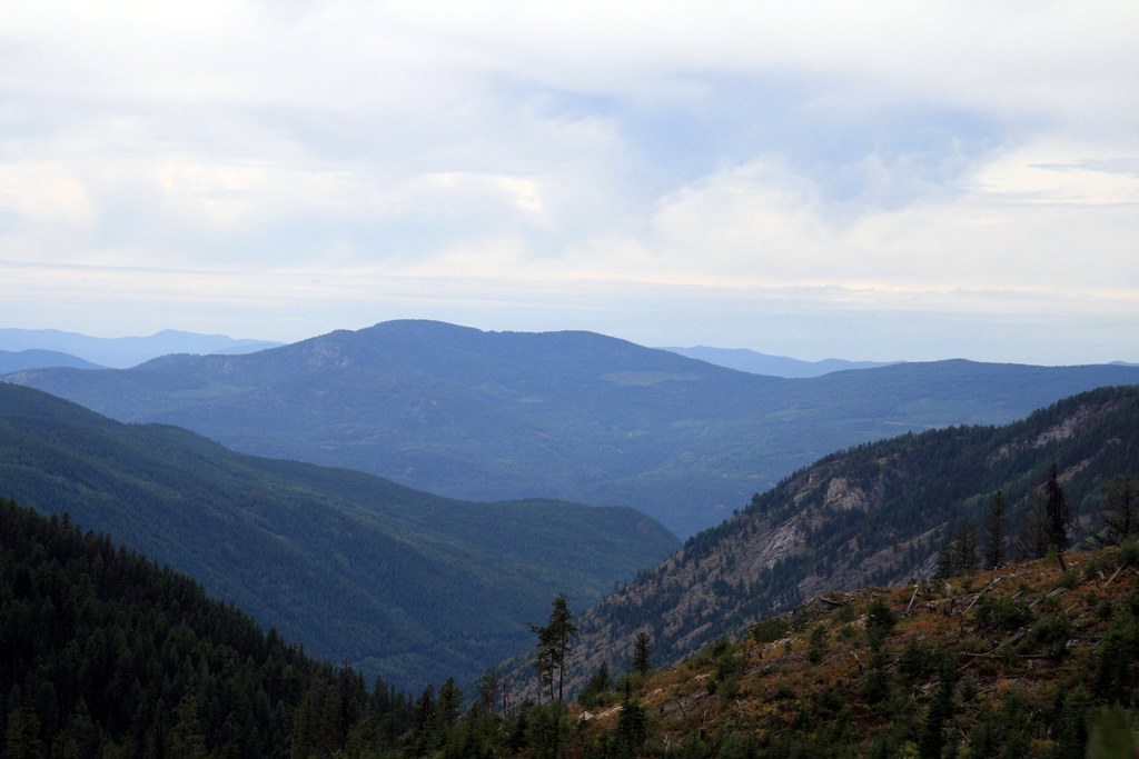
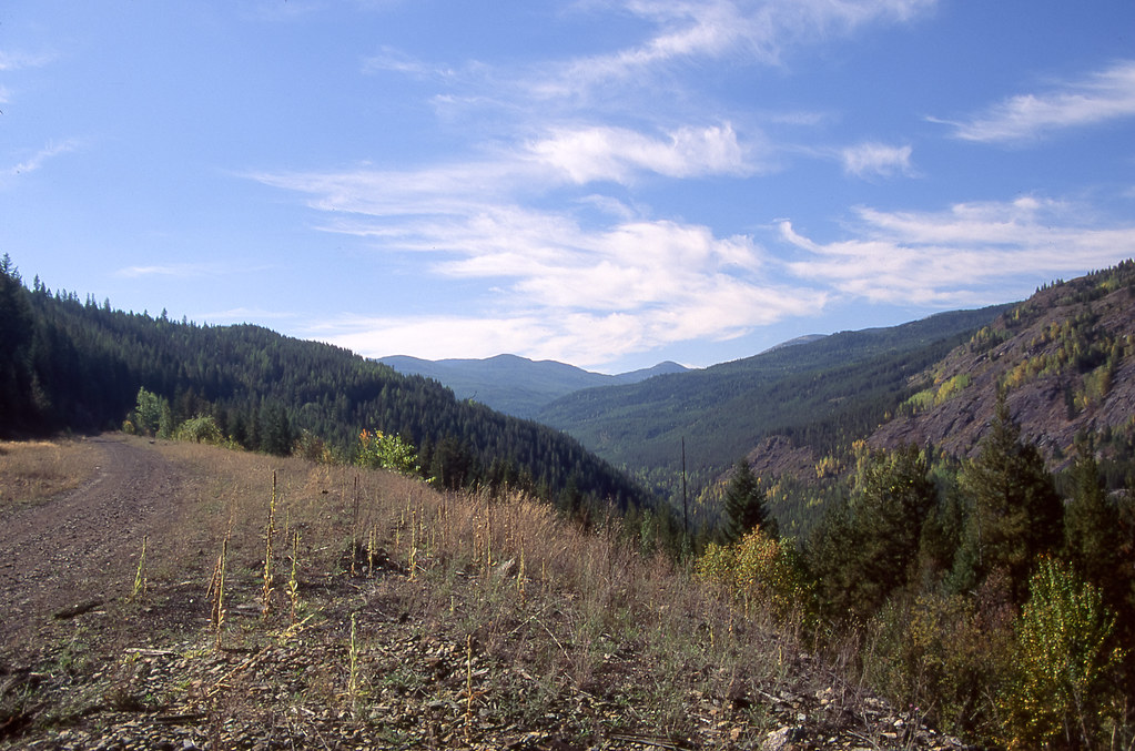
View to the west at Bonanza Pass FSR
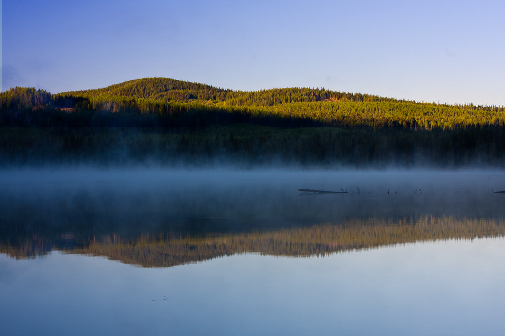
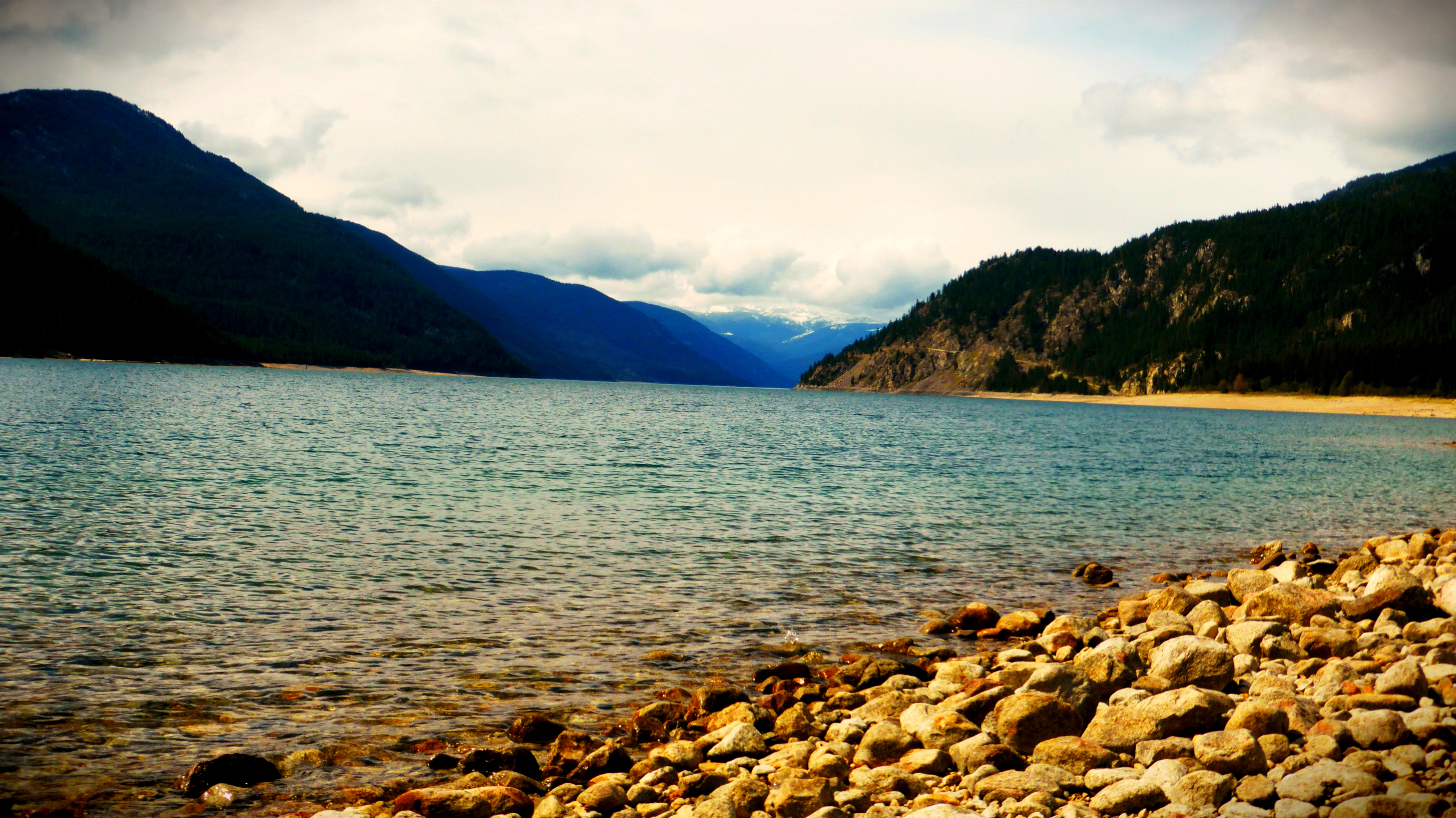
misty-lake
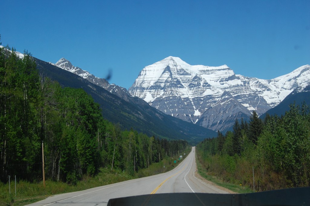
Mt. Robson
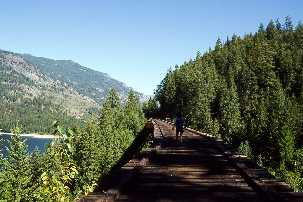
Abandoned Railroad011

High Mountain Adventures in Rossland
Abandoned Railroad008
In the kootenay!

Lower Arrow Lookout VPano
West of Bulldog Tunnel
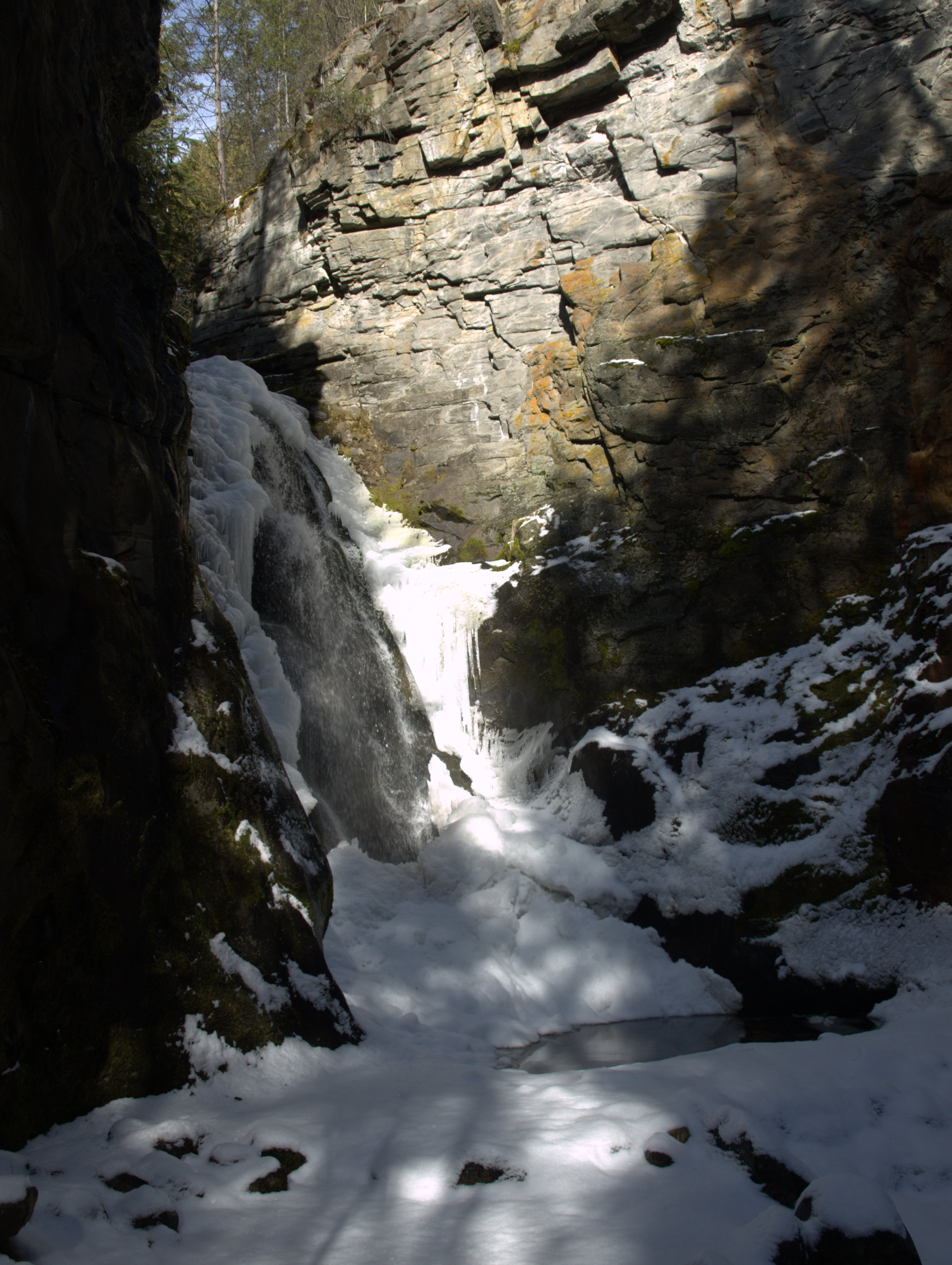
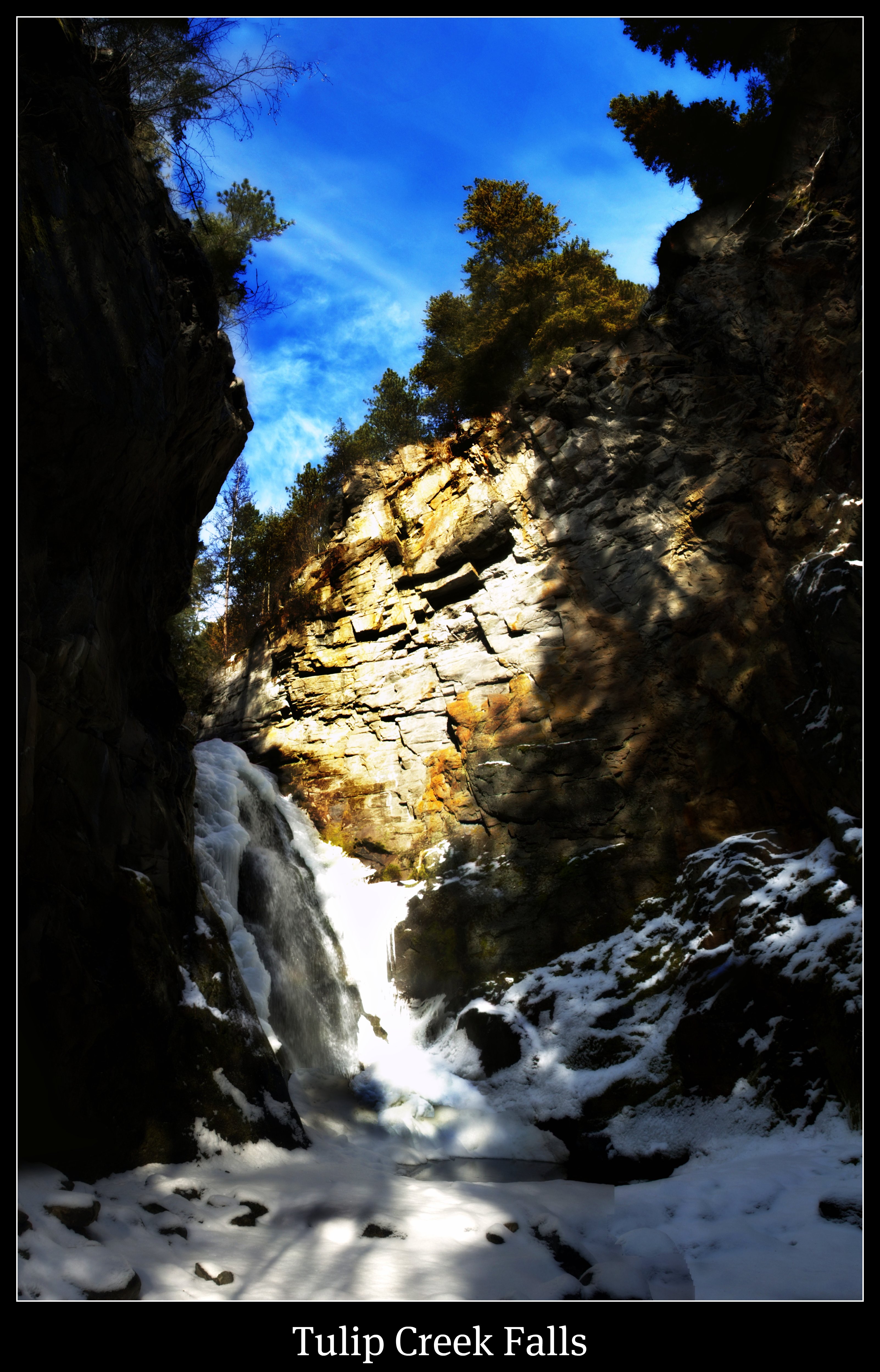
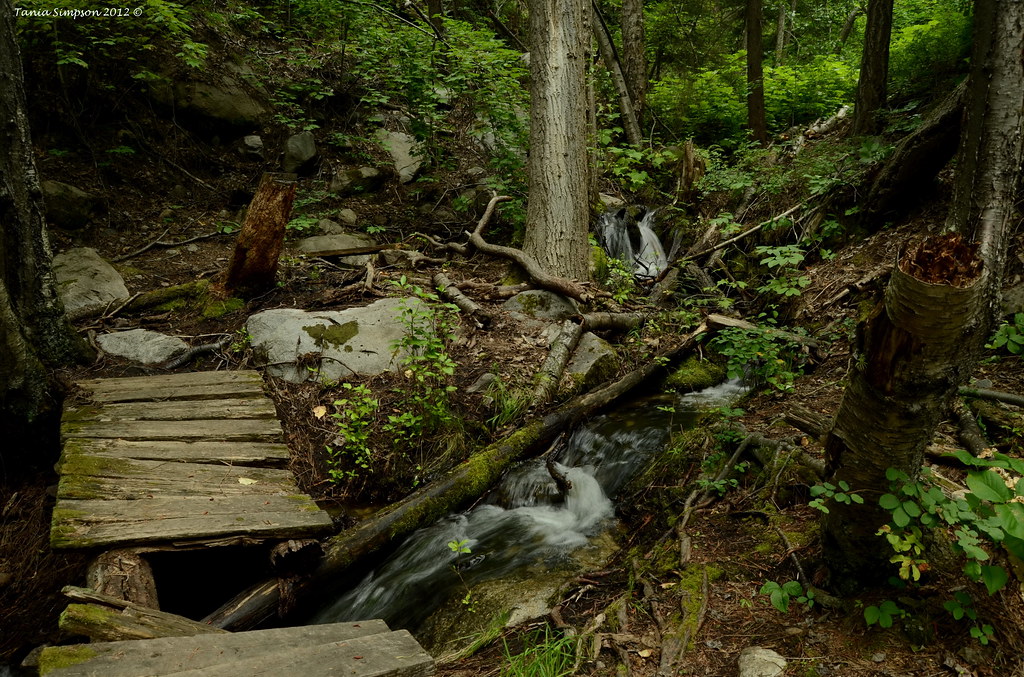
Tulip Creek Falls
Abandoned Railroad009

Nature's Harmonics
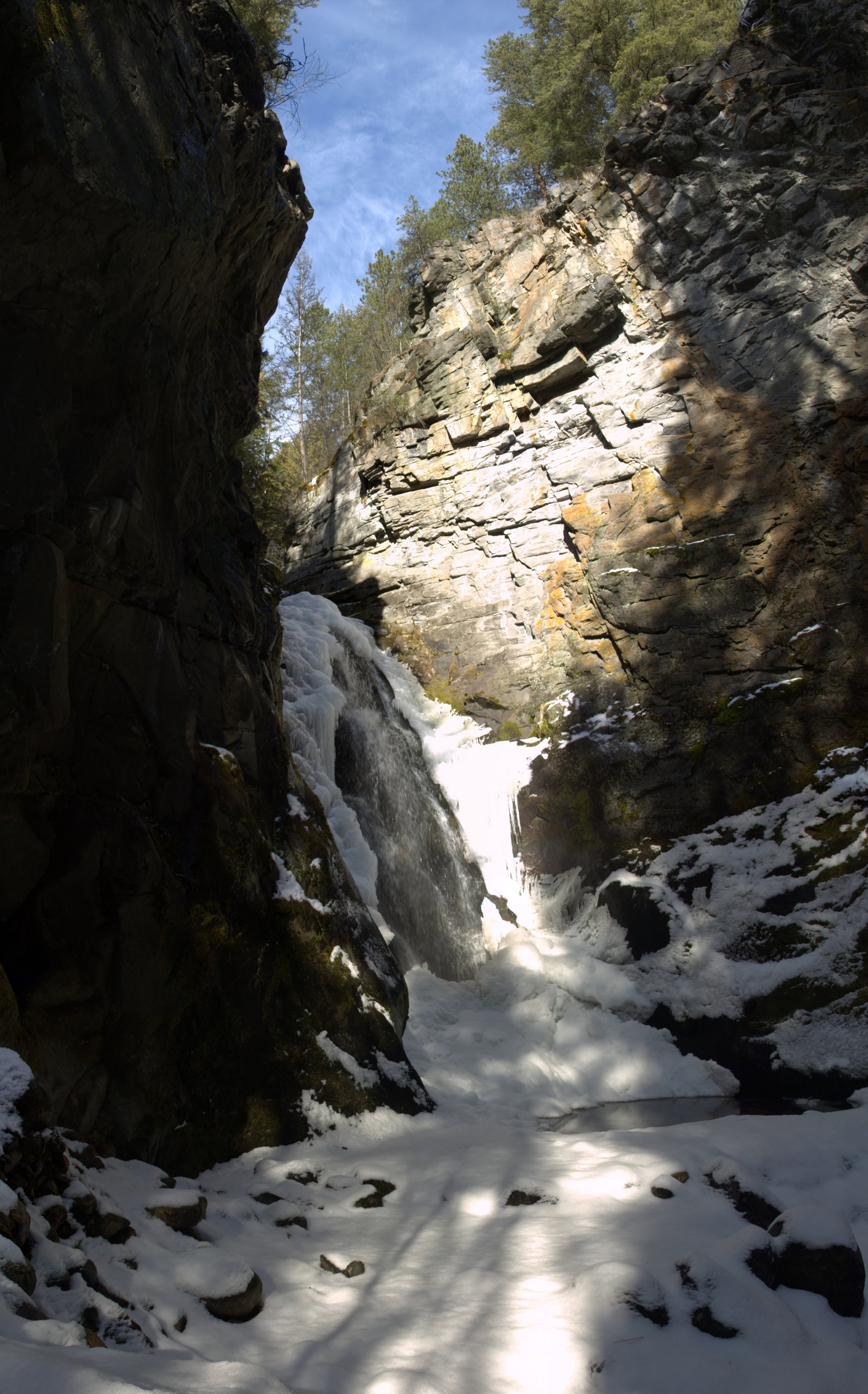
Tulip Creek Falls
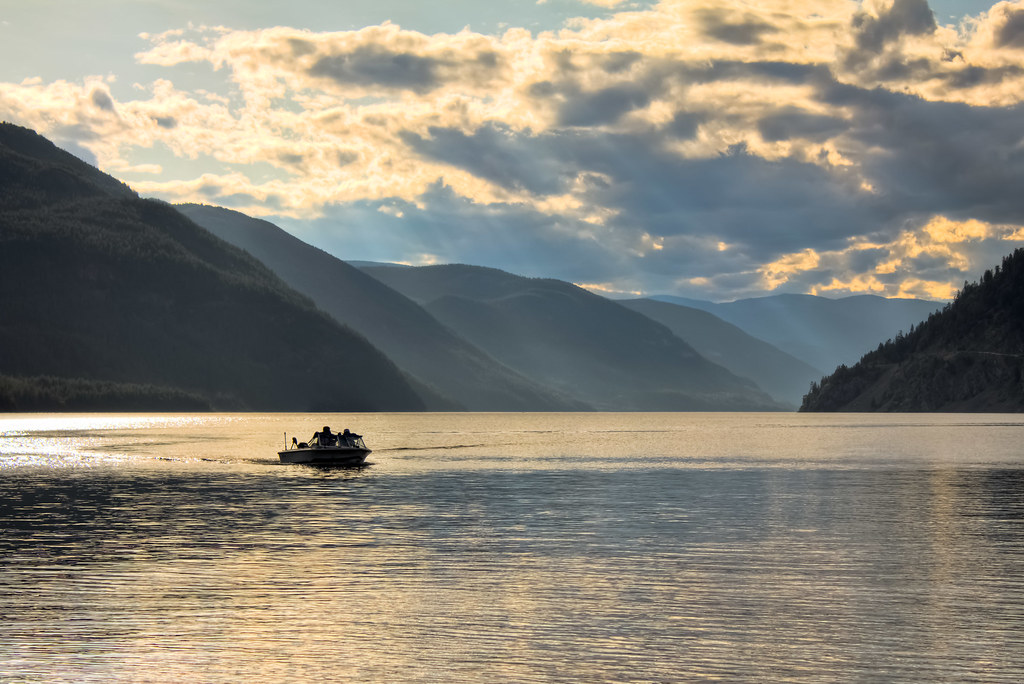
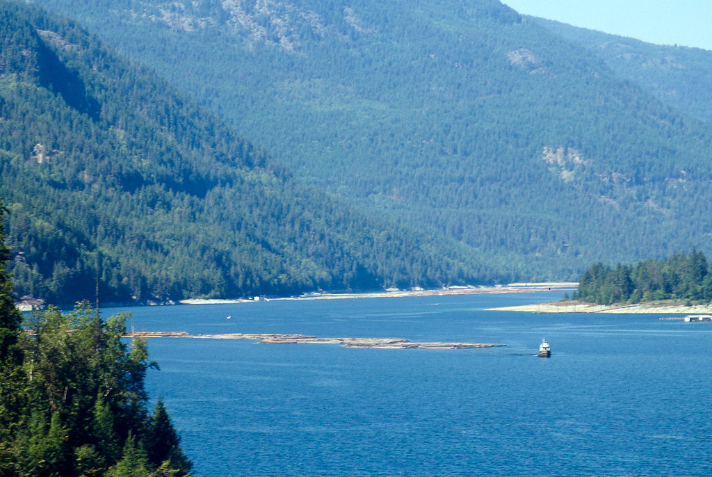
Boat on the Arrow Lakes HDR
Tulip Creek Falls Panorama
Bridge in Need of Repair
Blueberry Creek at Nancy Greene
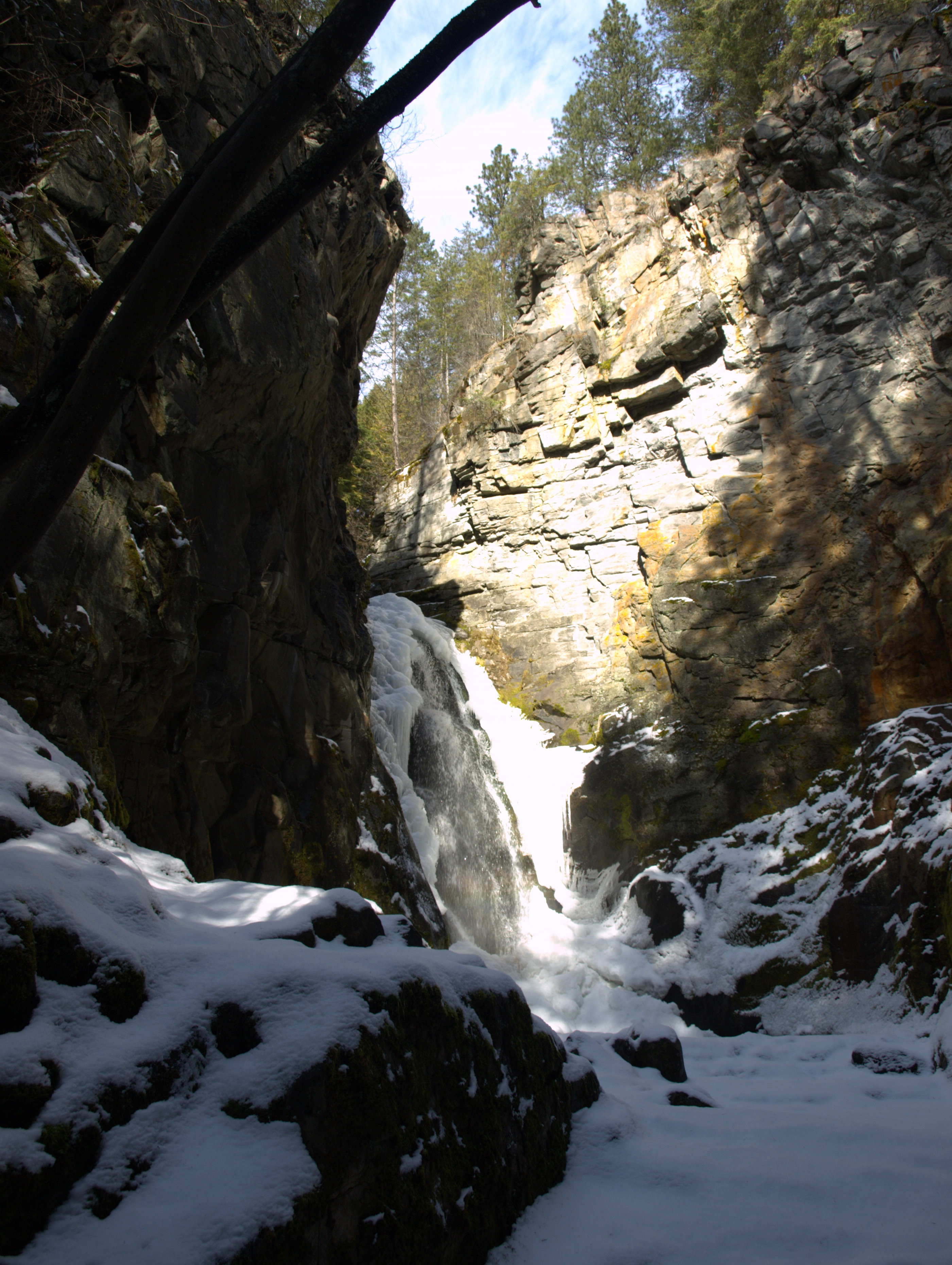
Tulip Creek Falls

Tulip Creek Falls

Path Through the Park

The Original Green Arrow

We Were Here

Tulip Creek Waterfall - 07/02/2016

Break Free
Topographic Map of British Columbia 3, BC-3, British Columbia, Canada
Find elevation by address:

Places near British Columbia 3, BC-3, British Columbia, Canada:
Deer Park
Central Kootenay J
Renata
3833 Broadwater Rd
3465 Hemstock Road
3364 Ballard Rd
3279 Broadwater Rd
1850 Crowsnest Hwy
Robson
1131 Columbia Heights
2713 Broadwater Rd
179 Lakeview St
Mountain Ridge Road
400 Lakeview St
Fernwood Drive
820 Lynnwood Crescent
1491 37 St
1438 Highland Dr
Highland Drive
Kinnaird Park
Recent Searches:
- Elevation of Congressional Dr, Stevensville, MD, USA
- Elevation of Bellview Rd, McLean, VA, USA
- Elevation of Stage Island Rd, Chatham, MA, USA
- Elevation of Shibuya Scramble Crossing, 21 Udagawacho, Shibuya City, Tokyo -, Japan
- Elevation of Jadagoniai, Kaunas District Municipality, Lithuania
- Elevation of Pagonija rock, Kranto 7-oji g. 8"N, Kaunas, Lithuania
- Elevation of Co Rd 87, Jamestown, CO, USA
- Elevation of Tenjo, Cundinamarca, Colombia
- Elevation of Côte-des-Neiges, Montreal, QC H4A 3J6, Canada
- Elevation of Bobcat Dr, Helena, MT, USA