Elevation of Applegrove, BC V0G, Canada
Location: Canada > British Columbia > Central Kootenay > Central Kootenay K >
Longitude: -118.07854
Latitude: 49.790308
Elevation: 513m / 1683feet
Barometric Pressure: 95KPa
Elevation Map:
Satellite Map:
Related Photos:
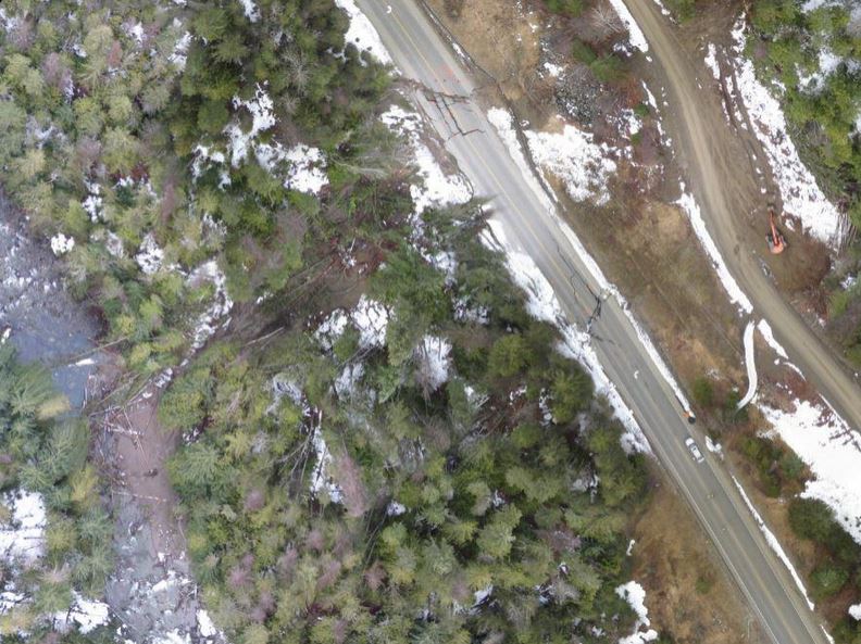
Aerial View of Highway 6 Slide
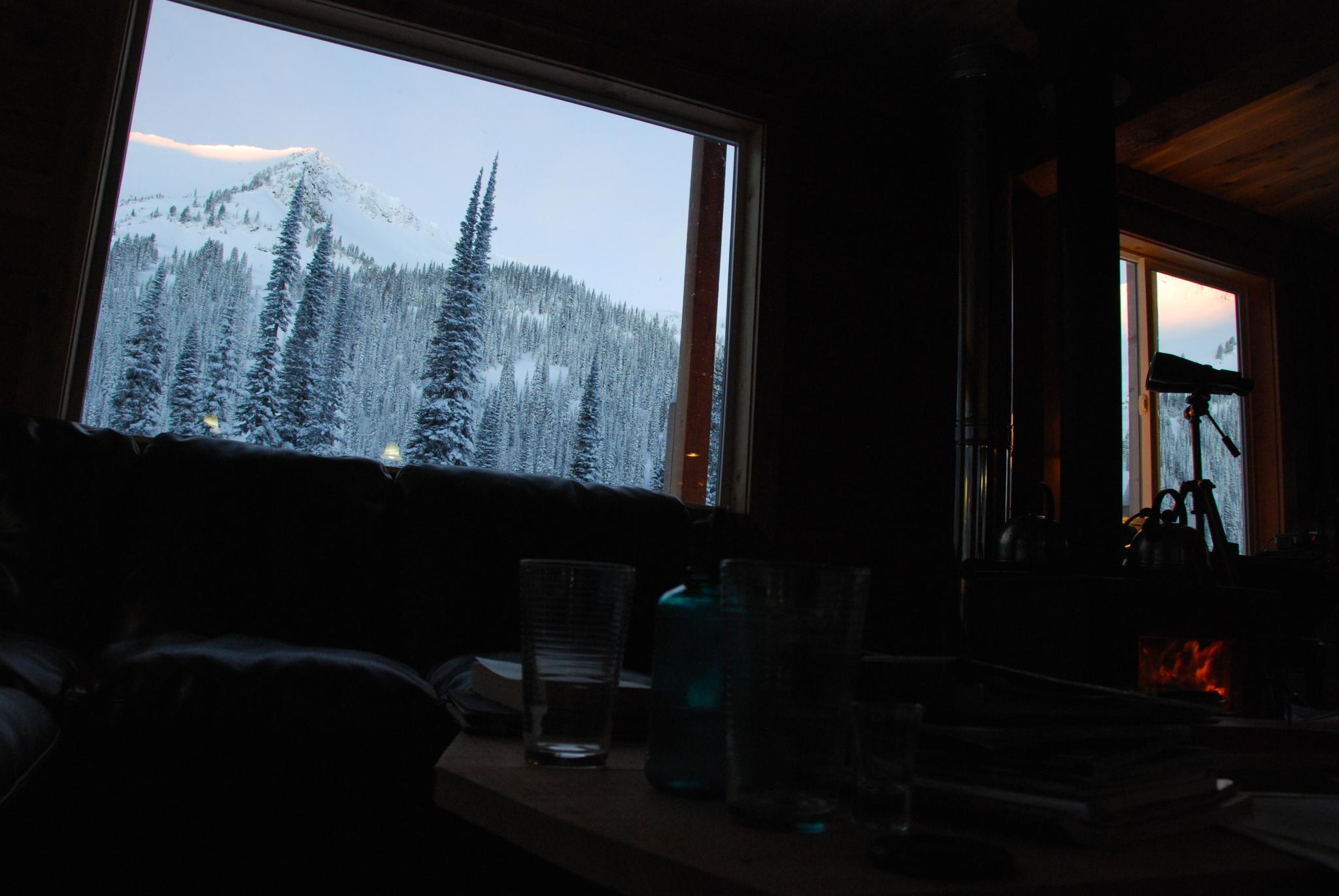
Morning view from inside the hut
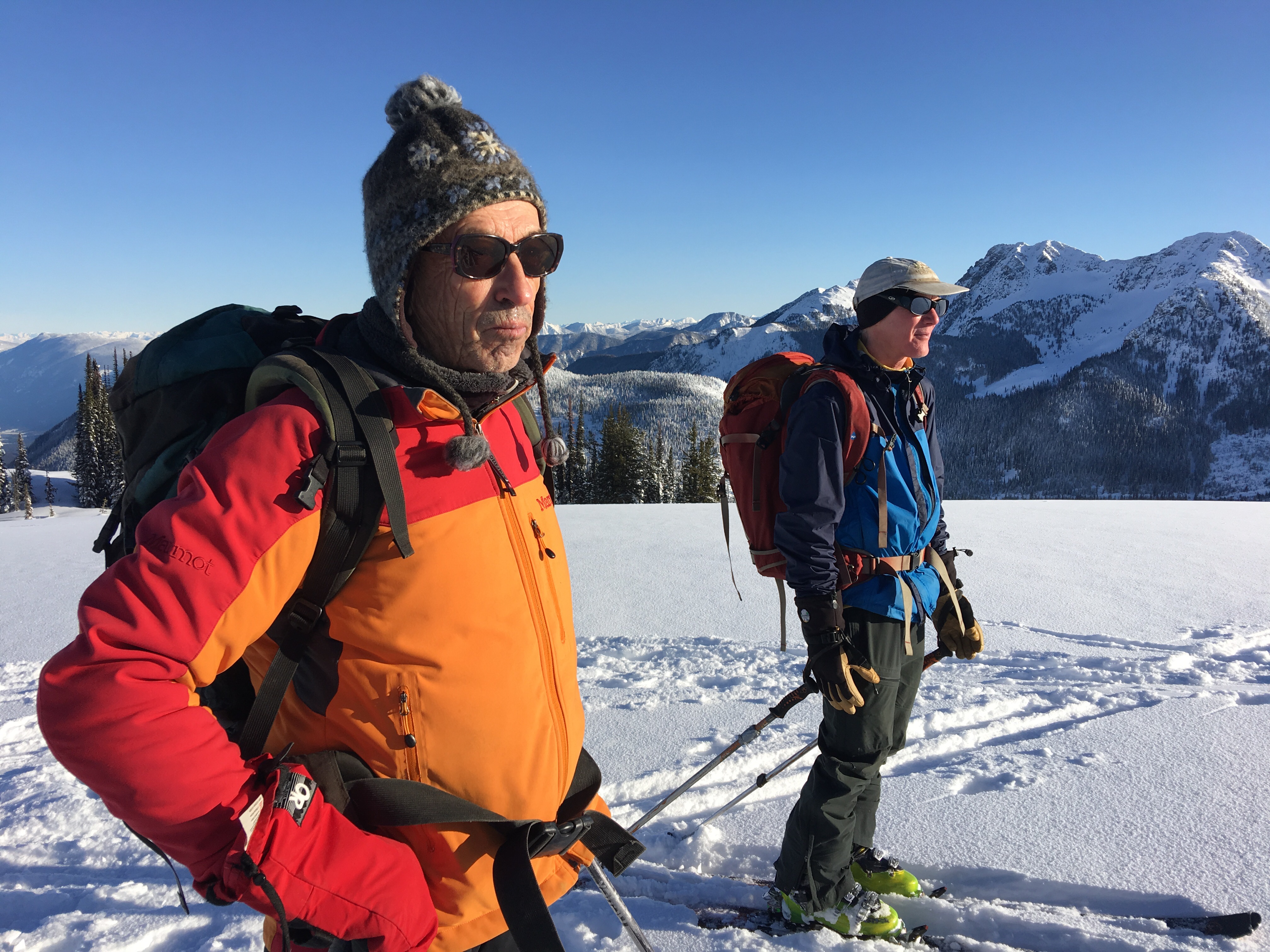
Gary & Greg admiring the view
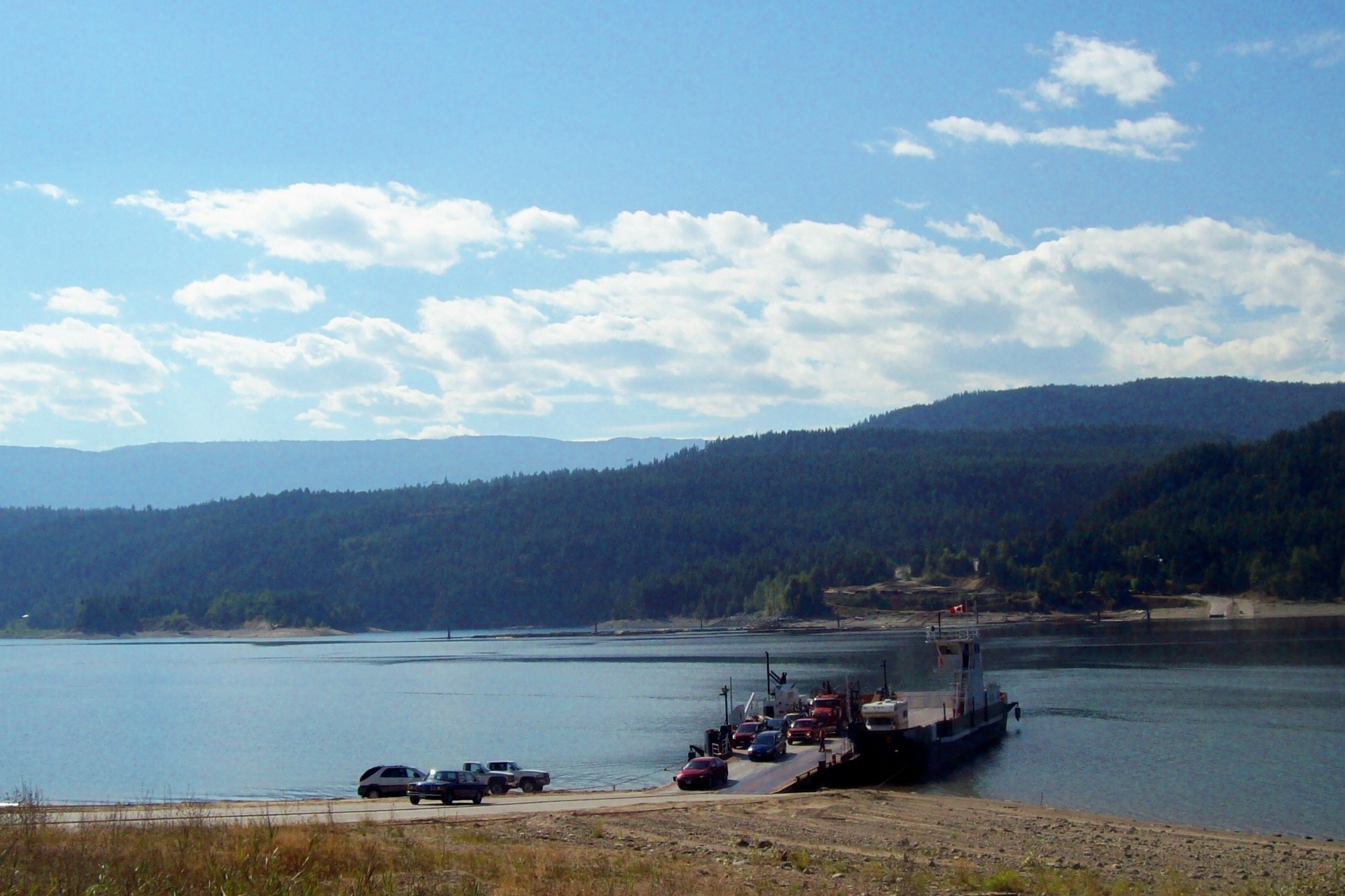
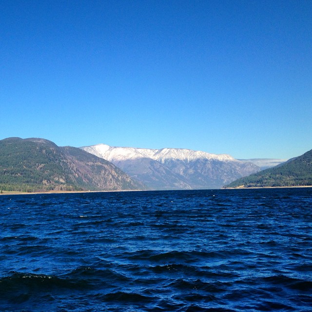
Ferry Across Lower Arrow Lake
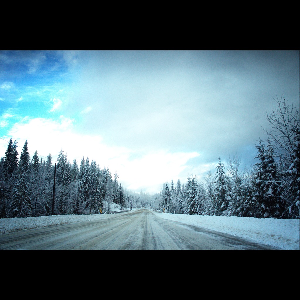
The Road Home
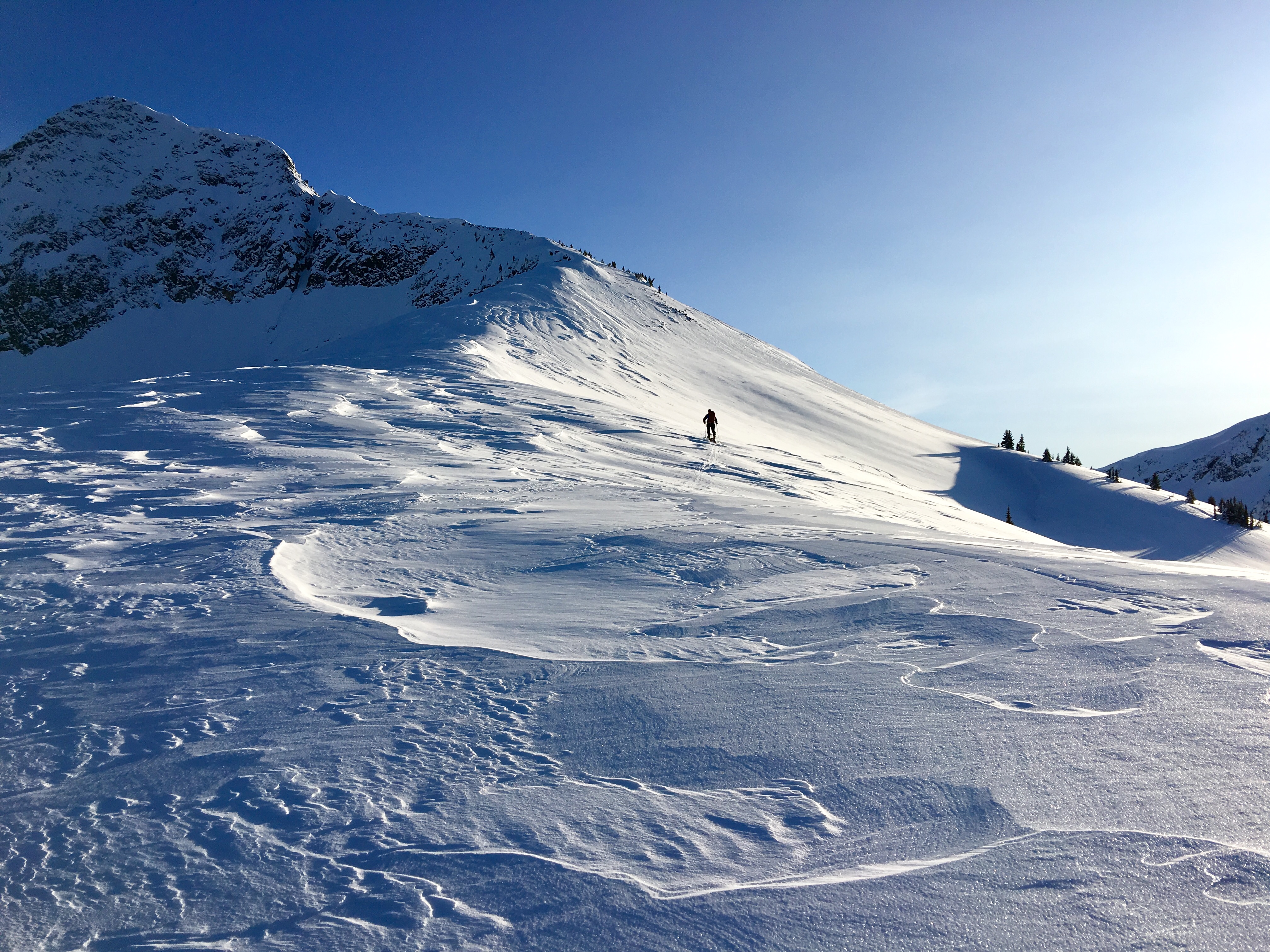
Mt Lequereux
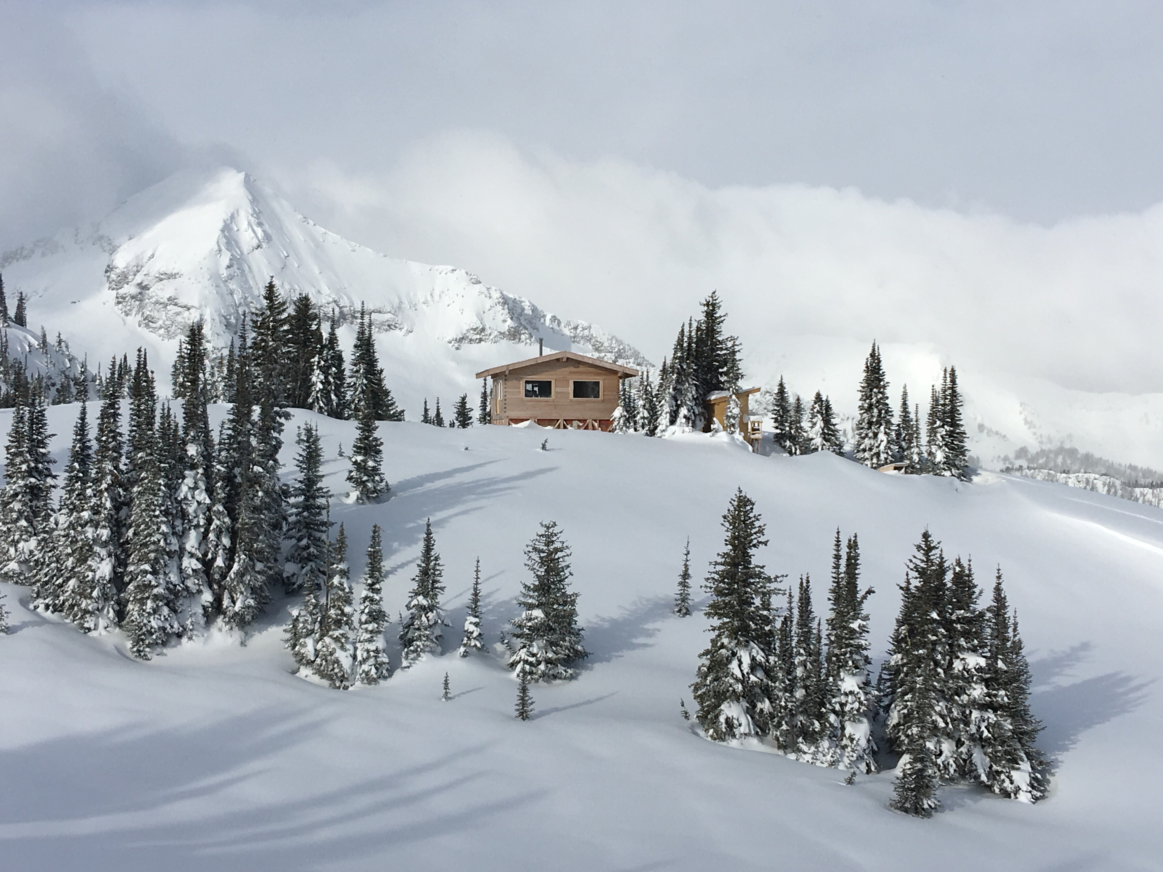
Lequereux Outpost Lodge at 7,200’
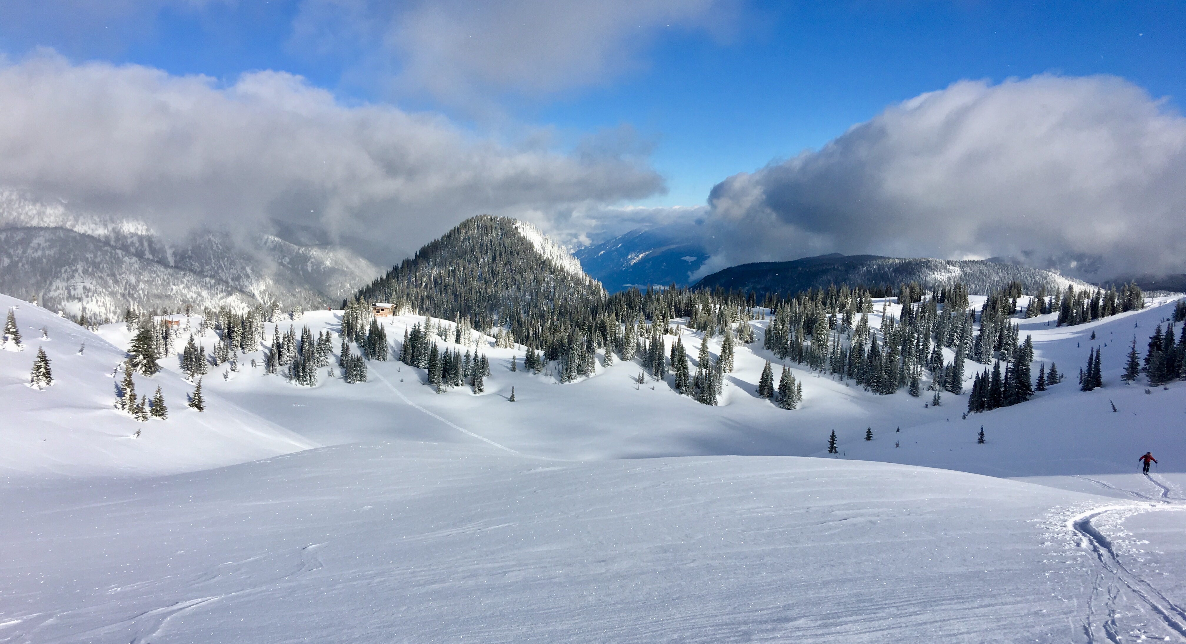
Looking North to Lodge and the valley below (towards Burton)
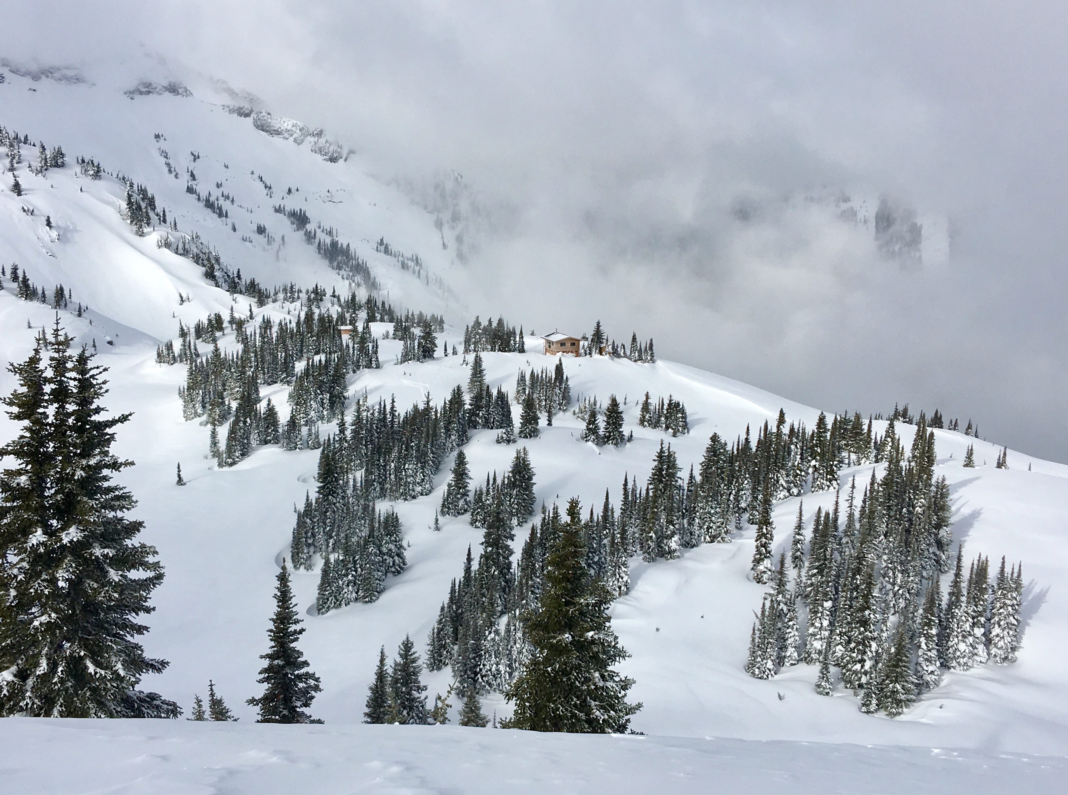
Lequereux Outpost Lodge
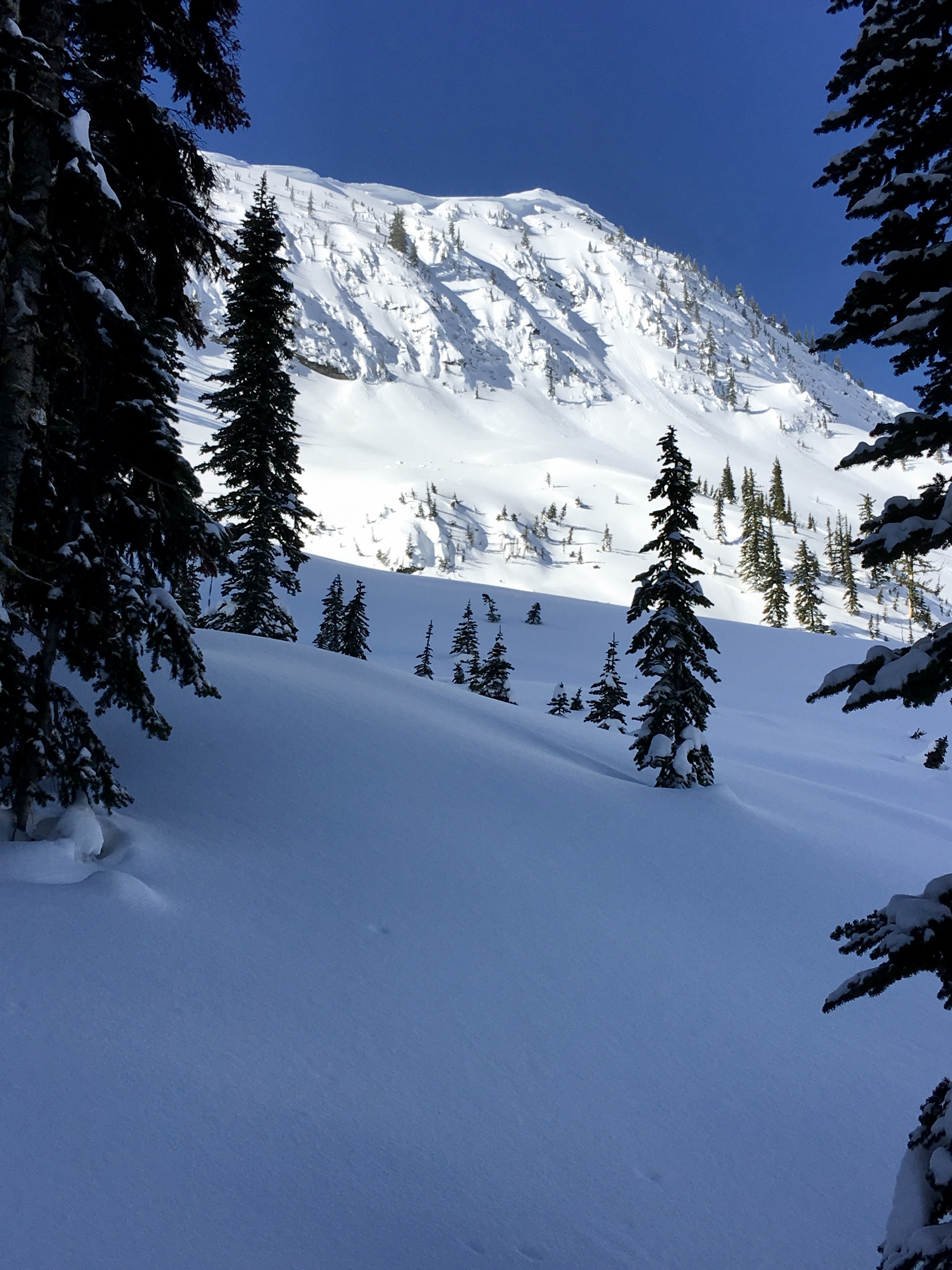
Cornices above our intended and aborted ski route
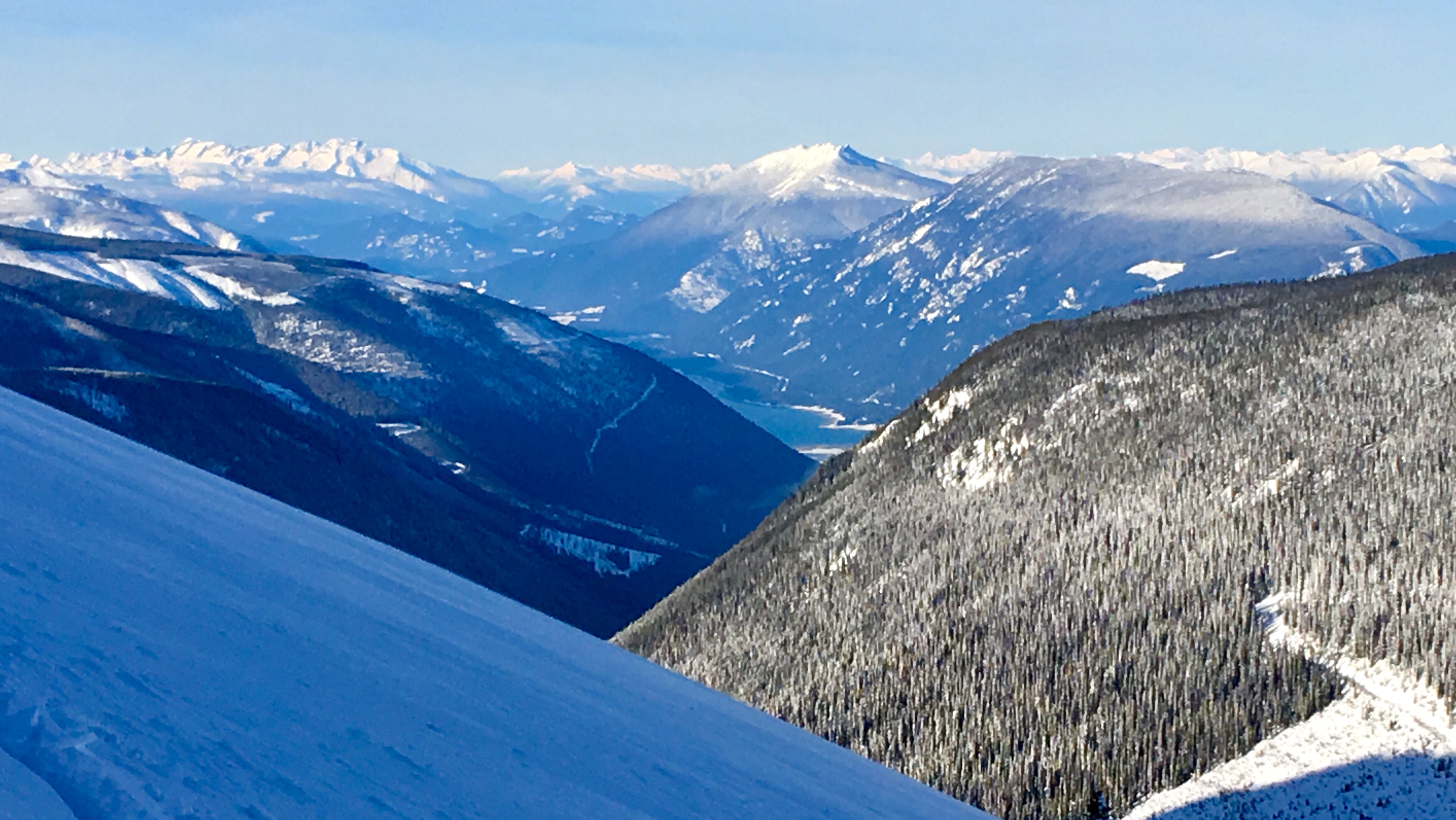
Looking down at Arrow Lake through Burton Direct
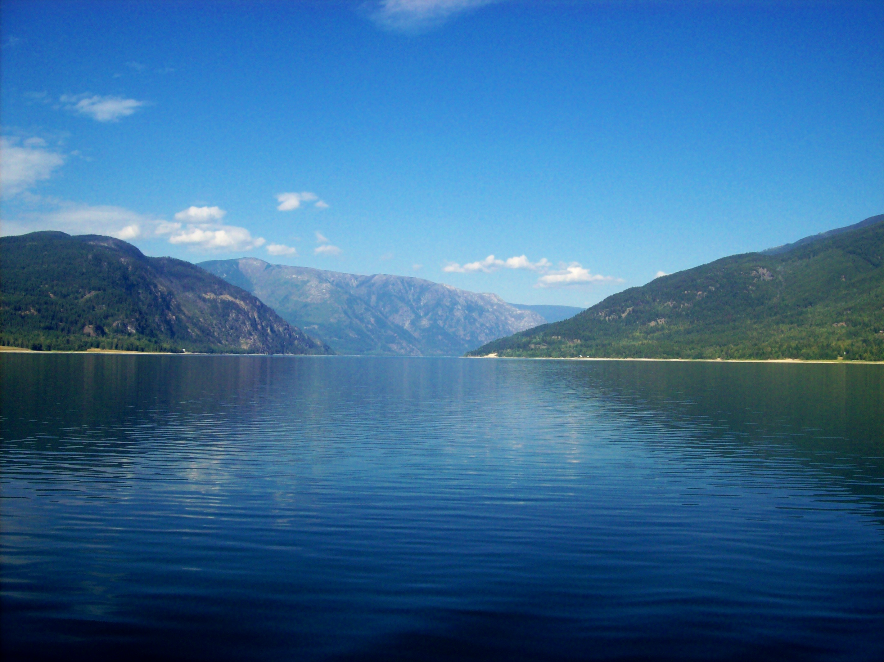
Lower Arrow Lake
Snow guards
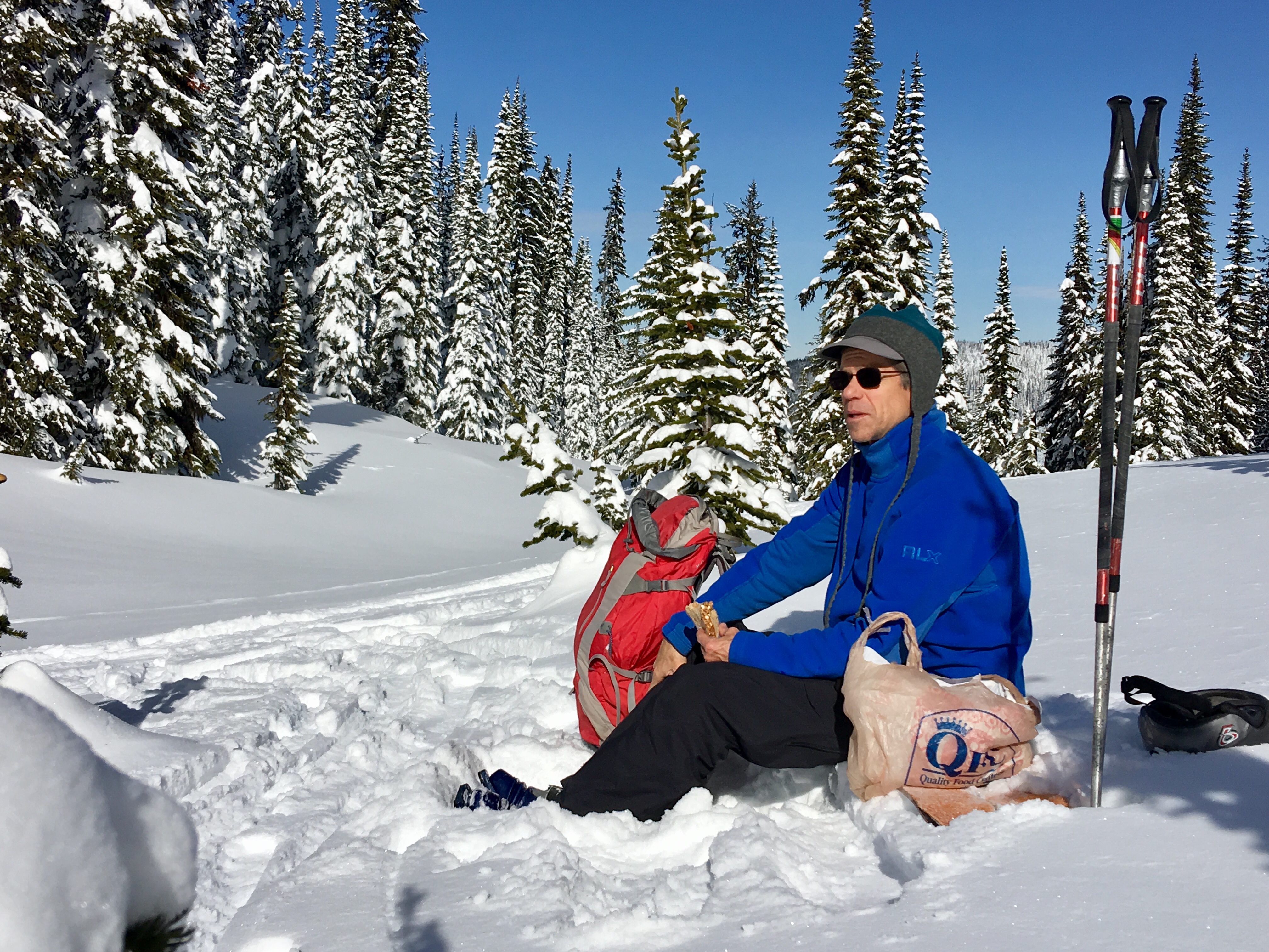
Sunny weather means longer lunch stops - Jim is lov'in it
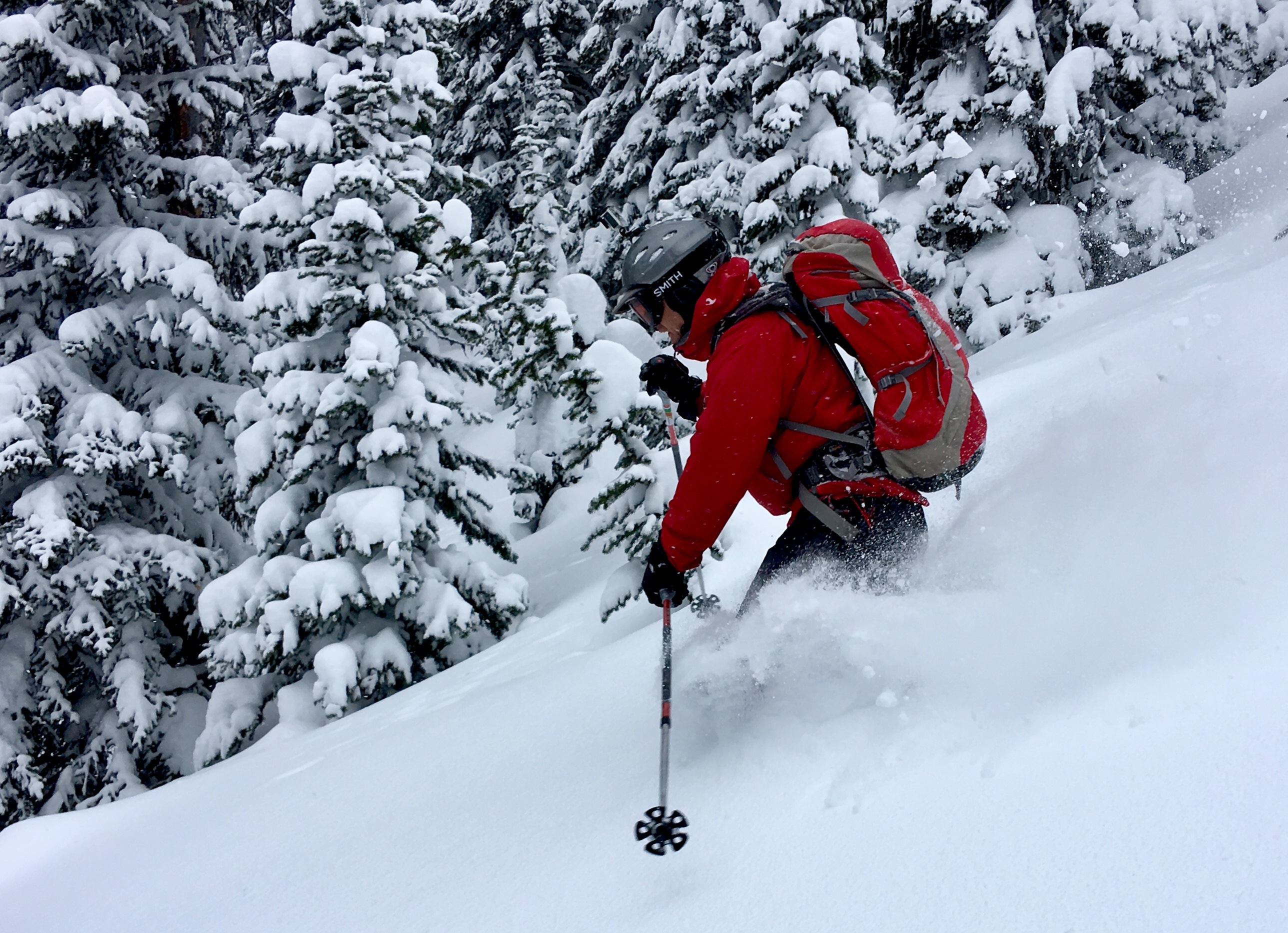
Jim tearing it up on his tele's
On the ferry #roadtrip
Valhalla Powdercats
Looking East
Topographic Map of Applegrove, BC V0G, Canada
Find elevation by address:

Places near Applegrove, BC V0G, Canada:
351 Spruce St
Fauquier Lower Rd, Edgewood, BC V0G 1J0, Canada
Fauquier
Needles
Reveller Road
Mccormack Road
Mccormack Road
Mccormack Road
Mccormack Road
Arrow Lakes
Burton
202 Burton School Rd
202 Burton School Rd
Renata
3796 Rock Island Rd
3796 Rock Island Rd
3866 Rock Island Rd
3710 Rock Island Rd
3796 Rock Island Rd
3796 Rock Island Rd
Recent Searches:
- Elevation of Vista Blvd, Sparks, NV, USA
- Elevation of 15th Ave SE, St. Petersburg, FL, USA
- Elevation of Beall Road, Beall Rd, Florida, USA
- Elevation of Leguwa, Nepal
- Elevation of County Rd, Enterprise, AL, USA
- Elevation of Kolchuginsky District, Vladimir Oblast, Russia
- Elevation of Shustino, Vladimir Oblast, Russia
- Elevation of Lampiasi St, Sarasota, FL, USA
- Elevation of Elwyn Dr, Roanoke Rapids, NC, USA
- Elevation of Congressional Dr, Stevensville, MD, USA