Elevation of De Witt, IA, USA
Location: United States > Iowa > Clinton County >
Longitude: -90.506882
Latitude: 41.8192126
Elevation: 209m / 686feet
Barometric Pressure: 99KPa
Elevation Map:
Satellite Map:
Related Photos:

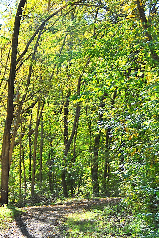
The old way west

Big Sled Hill

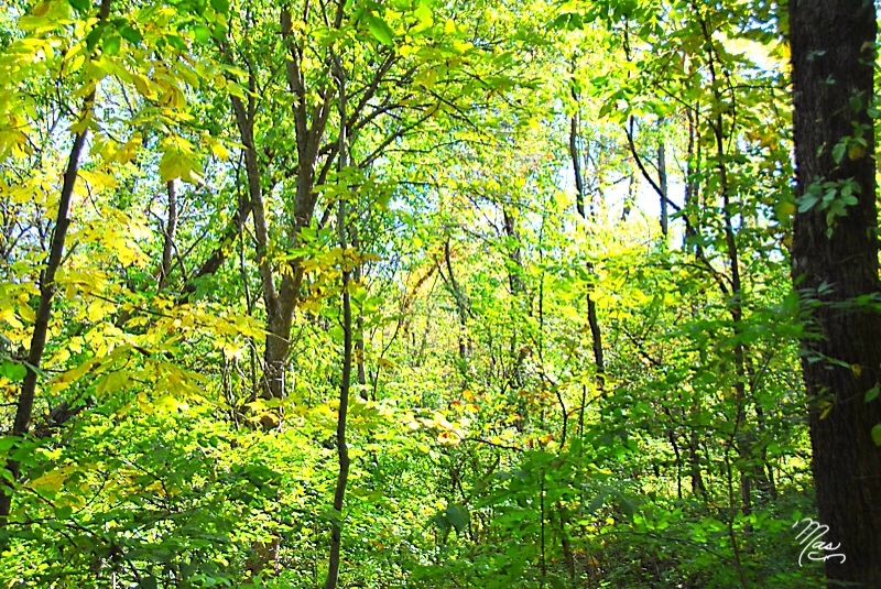
Afternoon Woods

Image of Silence

Bill's Buffalo
Oct 2, 2011 2:15 PM

Oct 2, 2011 2:34 PM

Oct 2, 2011 2:12 PM

Oct 2, 2011 2:16 PM

Oct 2, 2011 2:56 PM

Oct 2, 2011 2:44 PM

Oct 2, 2011 2:50 PM

Oct 2, 2011 2:12 PM

Oct 2, 2011 2:29 PM

Oct 2, 2011 2:13 PM

Oct 2, 2011 2:22 PM

Oct 2, 2011 2:48 PM

IA/IL

Oct 2, 2011 2:26 PM
Oct 2, 2011 2:23 PM

IA/IL
Topographic Map of De Witt, IA, USA
Find elevation by address:

Places in De Witt, IA, USA:
Places near De Witt, IA, USA:
Dewitt
1824 11th St
1824 11th St
Butler
Clinton County
Mccausland
E Ives St, Long Grove, IA, USA
Eden
27121 185th Ave
Church St, Delmar, IA, USA
Welton
5 Manor Ct
Park View
5 Parkview Dr, Eldridge, IA, USA
Welton
3rd St, Camanche, IA, USA
Low Moor
Princeton
Co Hwy Z36, Camanche, IA, USA
Eldridge
Recent Searches:
- Elevation of Placer Mine Ln, West Jordan, UT, USA
- Elevation of E 63rd St, New York, NY, USA
- Elevation of Elk City, OK, USA
- Elevation of Erika Dr, Windsor, CA, USA
- Elevation of Village Ln, Finleyville, PA, USA
- Elevation of 24 Oakland Rd #, Scotland, ON N0E 1R0, Canada
- Elevation of Deep Gap Farm Rd E, Mill Spring, NC, USA
- Elevation of Dog Leg Dr, Minden, NV, USA
- Elevation of Dog Leg Dr, Minden, NV, USA
- Elevation of Kambingan Sa Pansol Atbp., Purok 7 Pansol, Candaba, Pampanga, Philippines