Elevation of Clinton County, IA, USA
Location: United States > Iowa >
Longitude: -90.563609
Latitude: 41.878563
Elevation: 222m / 728feet
Barometric Pressure: 99KPa
Elevation Map:
Satellite Map:
Related Photos:
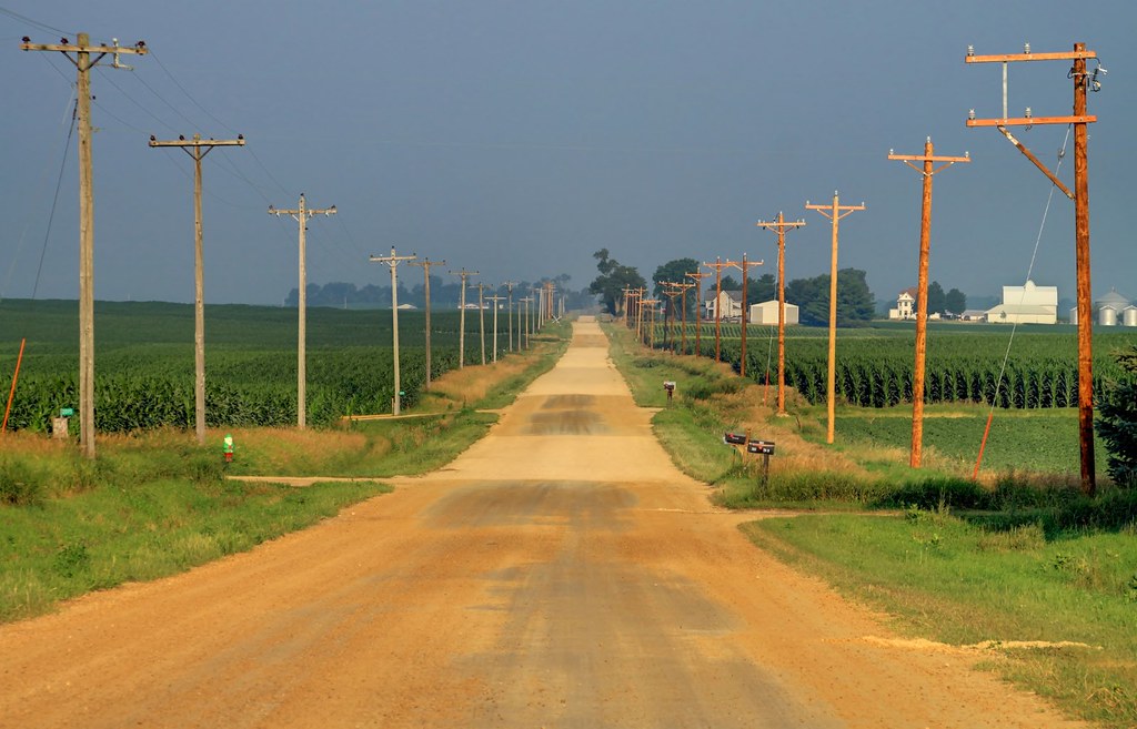
The old way west
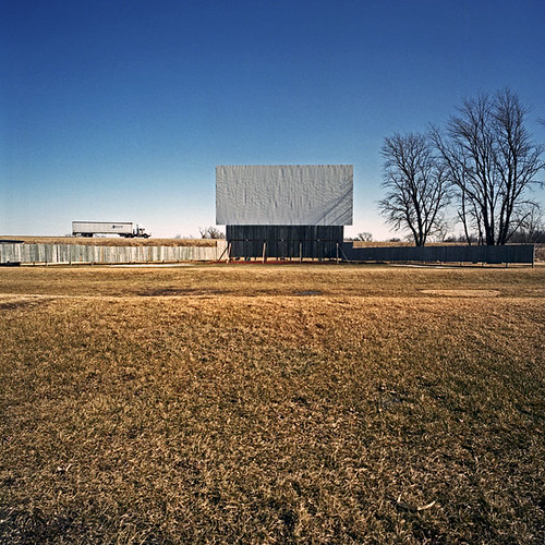
61 Drive-In Theatre, Highway 61 South, Maquoketa, IA 52037

Got Yellow?

Prom 2016

Caitlyn and mom

Caitlyn and Dawson

Caitlyn and Dawson

Post Office 52774 (Welton, Iowa)
Old Post Office 52742 (De Witt, Iowa)

Prom 2016

Prom 2016

Prom 2016
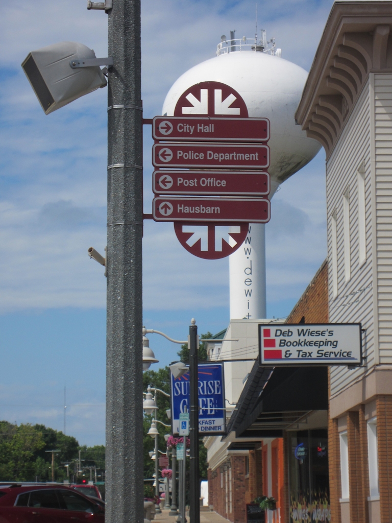
De Witt wayfinding sign (2)

US 30 westbound at US 61

Jack at his favorite ice cream shop in DeWitt, IA

at the drive-in movies just waiting for the sun to go down ☀️ minions for lola (and us, who am I kidding?) and then hopefully a prompt bed time so mom & dad can enjoy a mini date watching jurassic world.
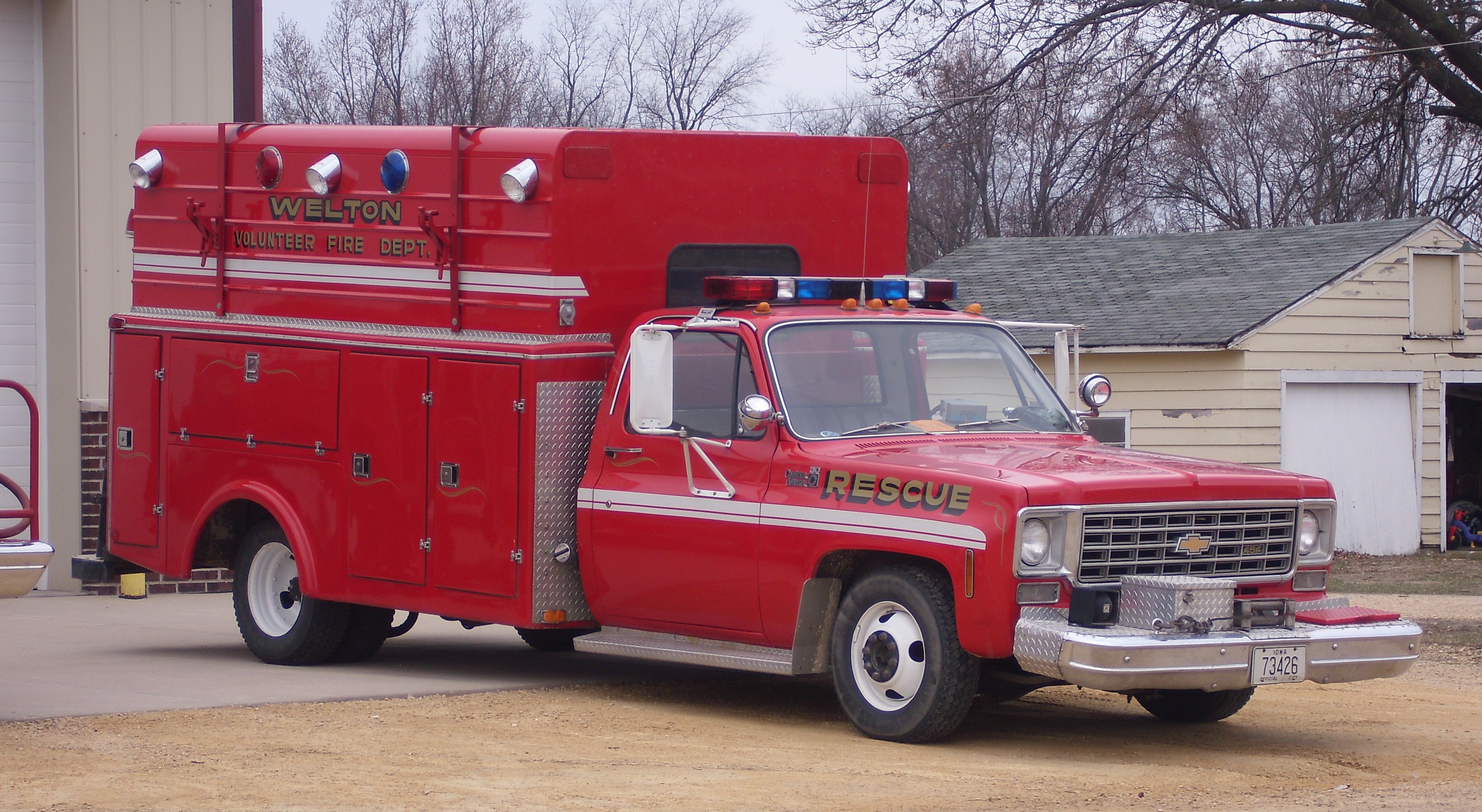
Welton Volunteer Fire Dept. Rescue
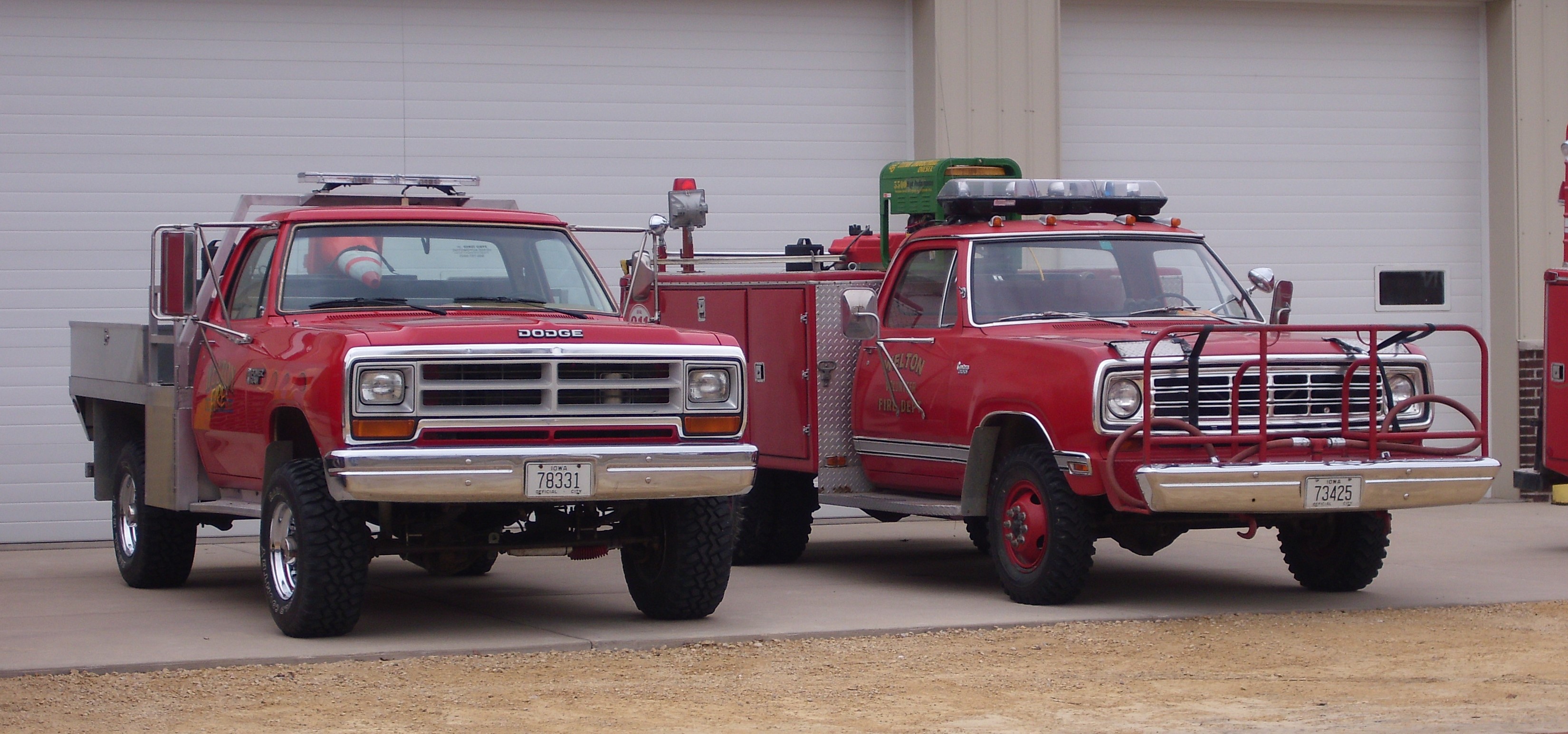
Welton Volunteer Fire Dept. Brush Units

Welton Volunteer Fire Dept. Engine
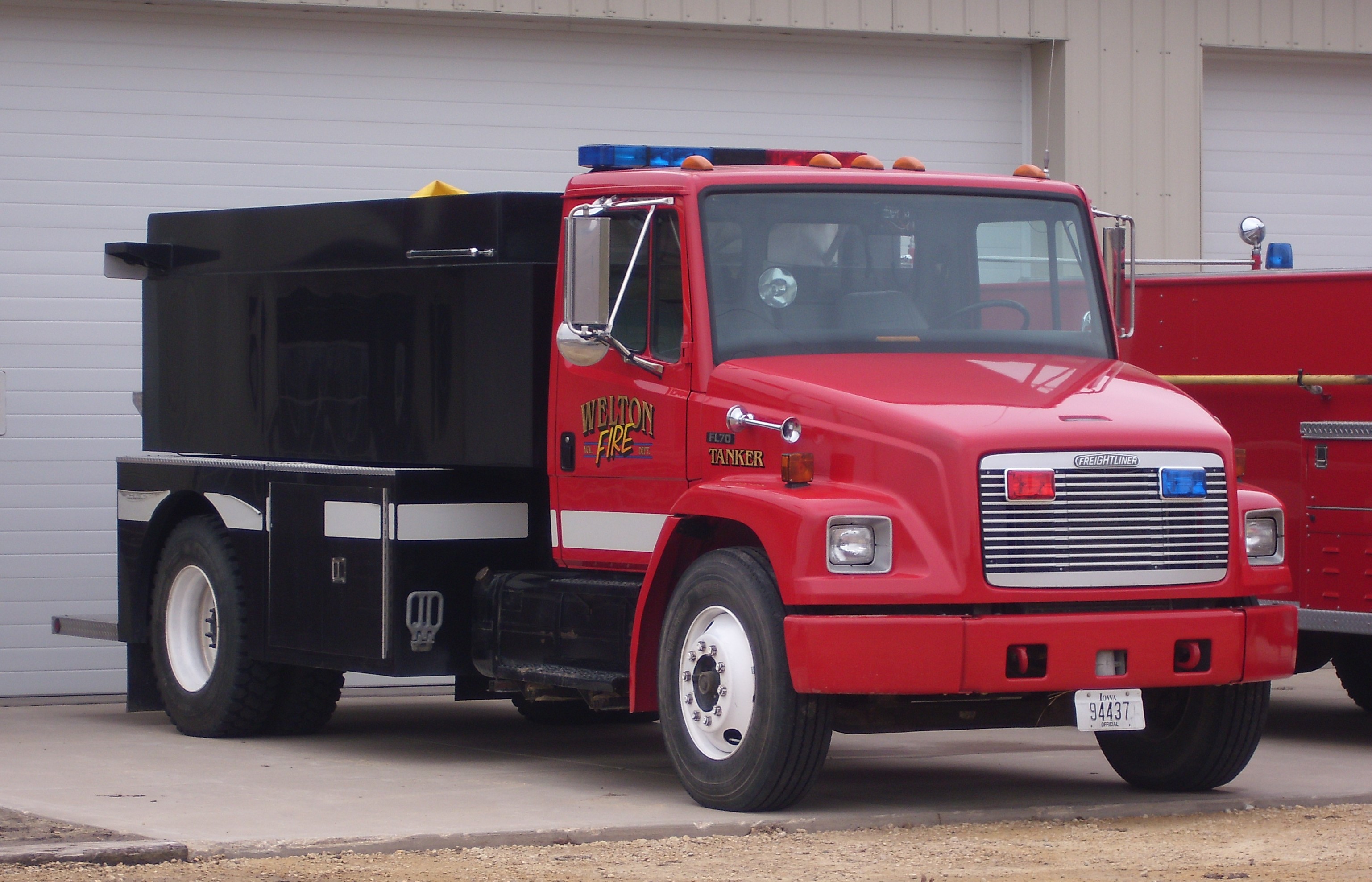
Welton Volunteer Fire Dept. Tanker
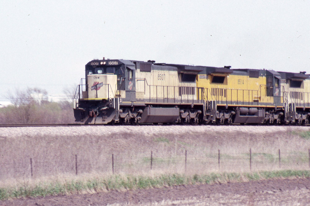
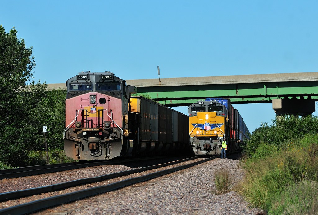
C&NW C40-8 #8507 at Malone IA on 4/27/92
Beauty and the Beast
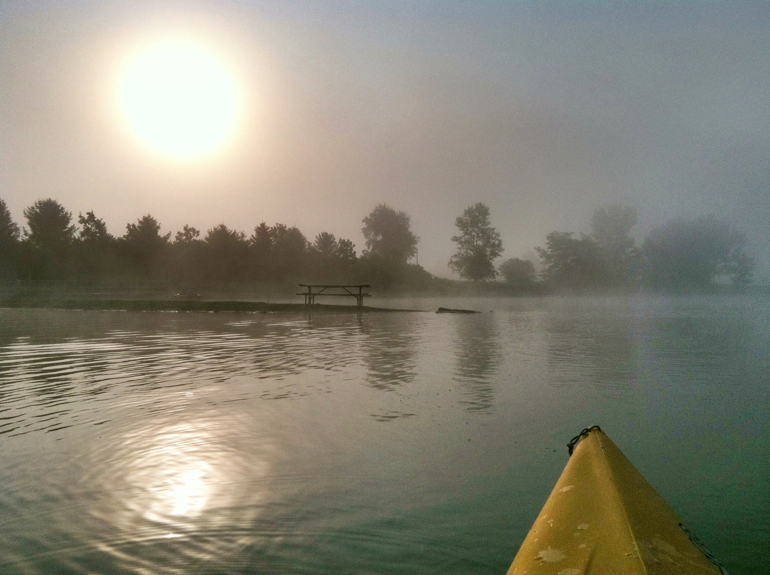
Morning kayak in fog
Topographic Map of Clinton County, IA, USA
Find elevation by address:

Places in Clinton County, IA, USA:
Camanche
Deep Creek
Clinton
Olive
Sharon
Eden
Welton
Co Hwy Z36, Camanche, IA, USA
De Witt
Bloomfield
Places near Clinton County, IA, USA:
Church St, Delmar, IA, USA
Welton
1824 11th St
1824 11th St
Dewitt
Welton
De Witt
Bloomfield
Delmar
240 Delmar Ave
240 Delmar Ave
Butler
Mccausland
E Ives St, Long Grove, IA, USA
27121 185th Ave
Olive
5 Manor Ct
Park View
5 Parkview Dr, Eldridge, IA, USA
Eden
Recent Searches:
- Elevation of Corso Fratelli Cairoli, 35, Macerata MC, Italy
- Elevation of Tallevast Rd, Sarasota, FL, USA
- Elevation of 4th St E, Sonoma, CA, USA
- Elevation of Black Hollow Rd, Pennsdale, PA, USA
- Elevation of Oakland Ave, Williamsport, PA, USA
- Elevation of Pedrógão Grande, Portugal
- Elevation of Klee Dr, Martinsburg, WV, USA
- Elevation of Via Roma, Pieranica CR, Italy
- Elevation of Tavkvetili Mountain, Georgia
- Elevation of Hartfords Bluff Cir, Mt Pleasant, SC, USA