Elevation of Darwin Township, IL, USA
Location: United States > Illinois > Clark County >
Longitude: -87.648247
Latitude: 39.3073344
Elevation: 163m / 535feet
Barometric Pressure: 99KPa
Elevation Map:
Satellite Map:
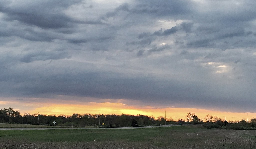
Related Photos:
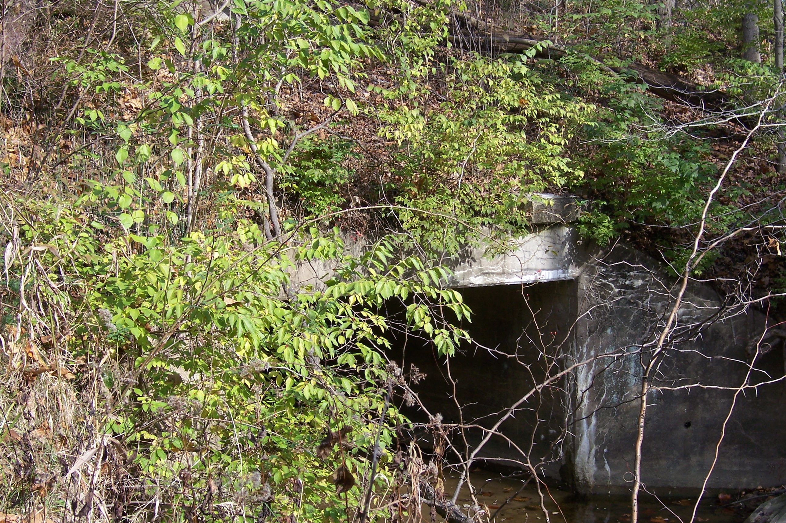
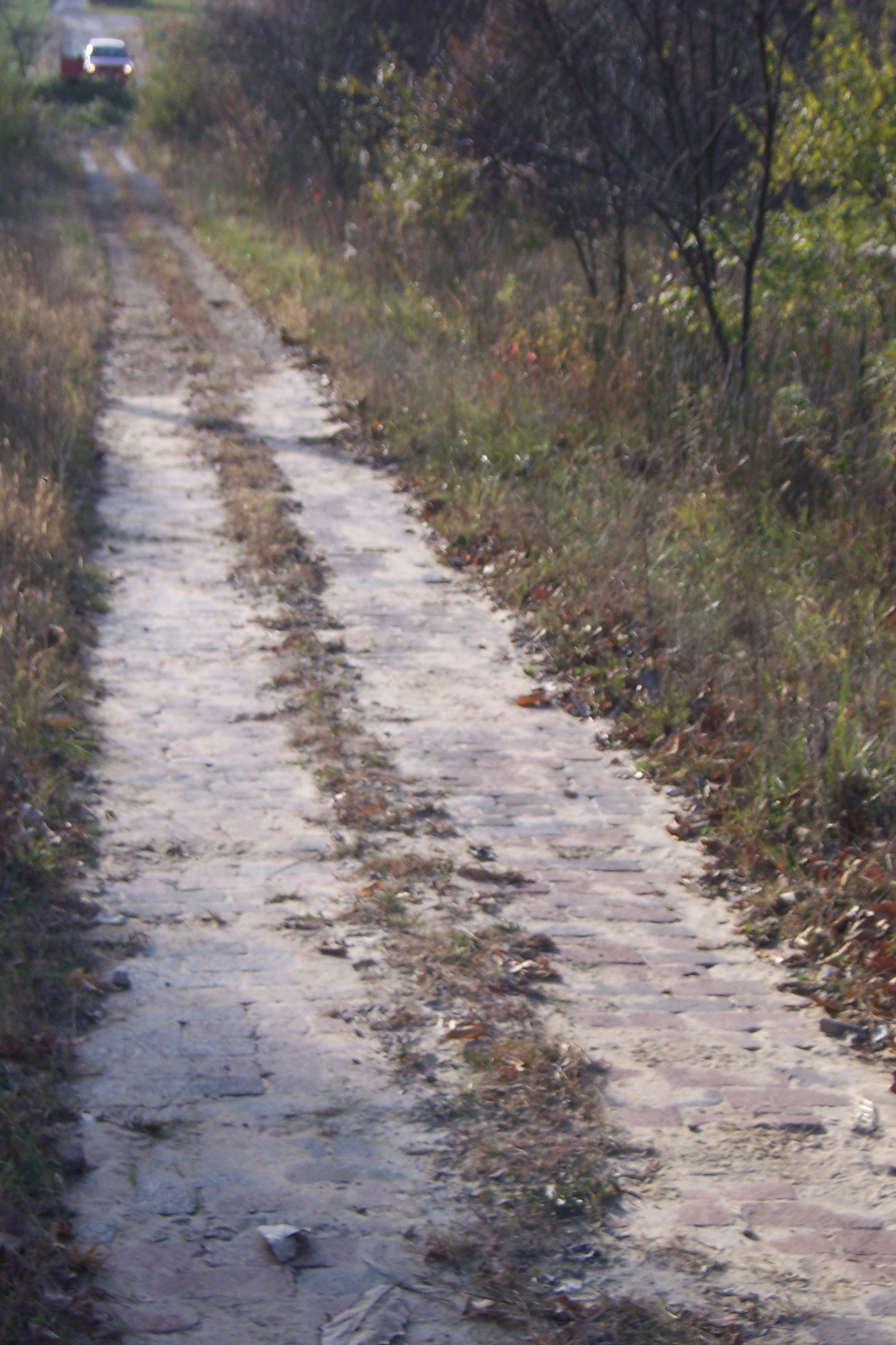
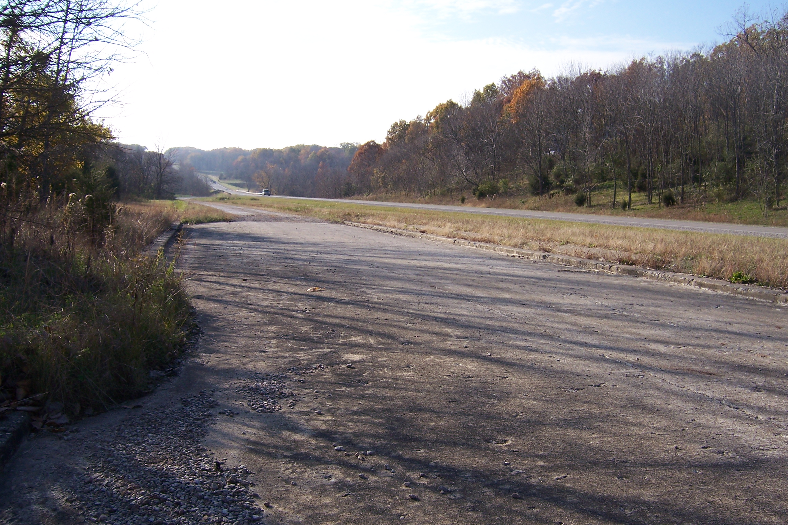
Abandoned National Road
Abandoned National Road
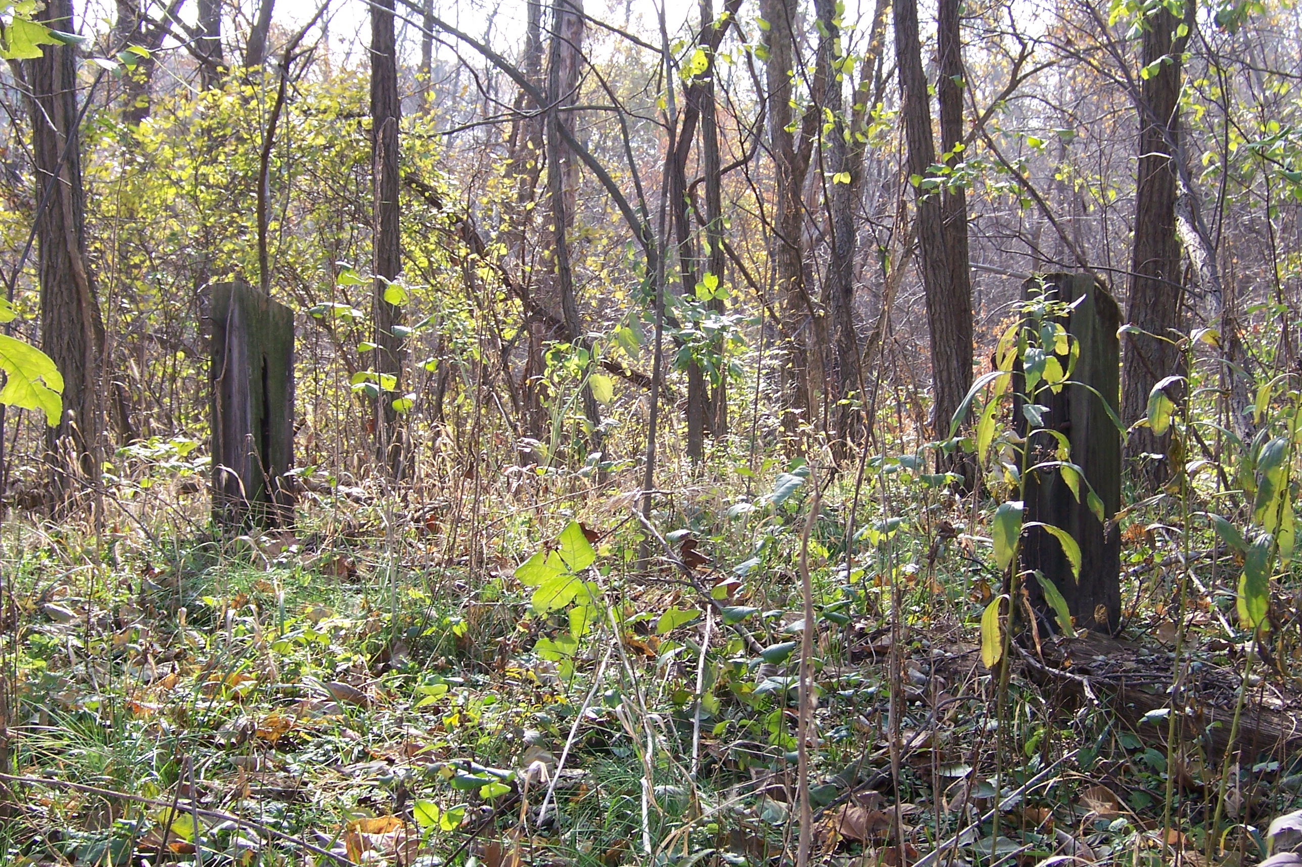
View from the Covered Bridge
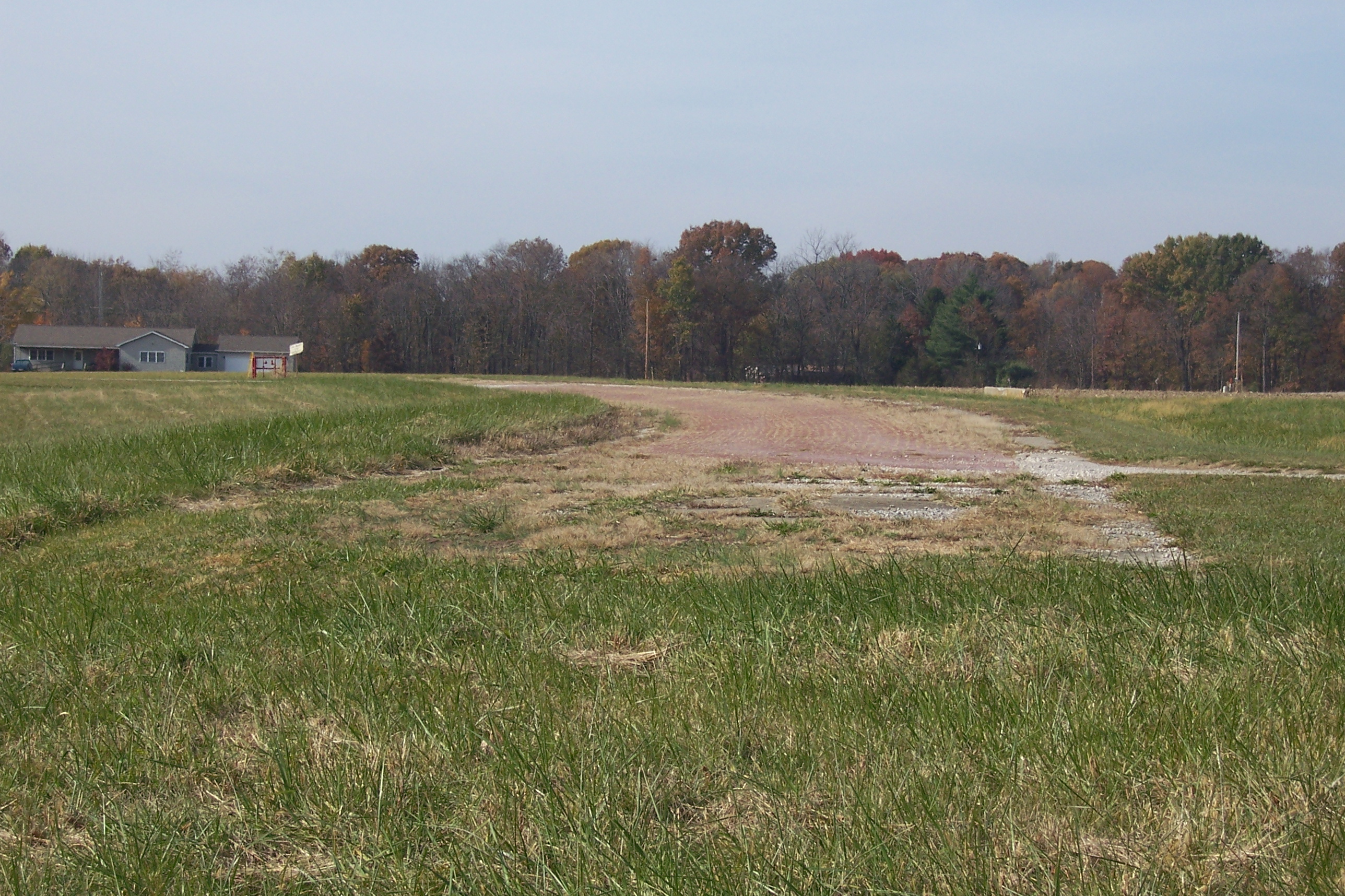
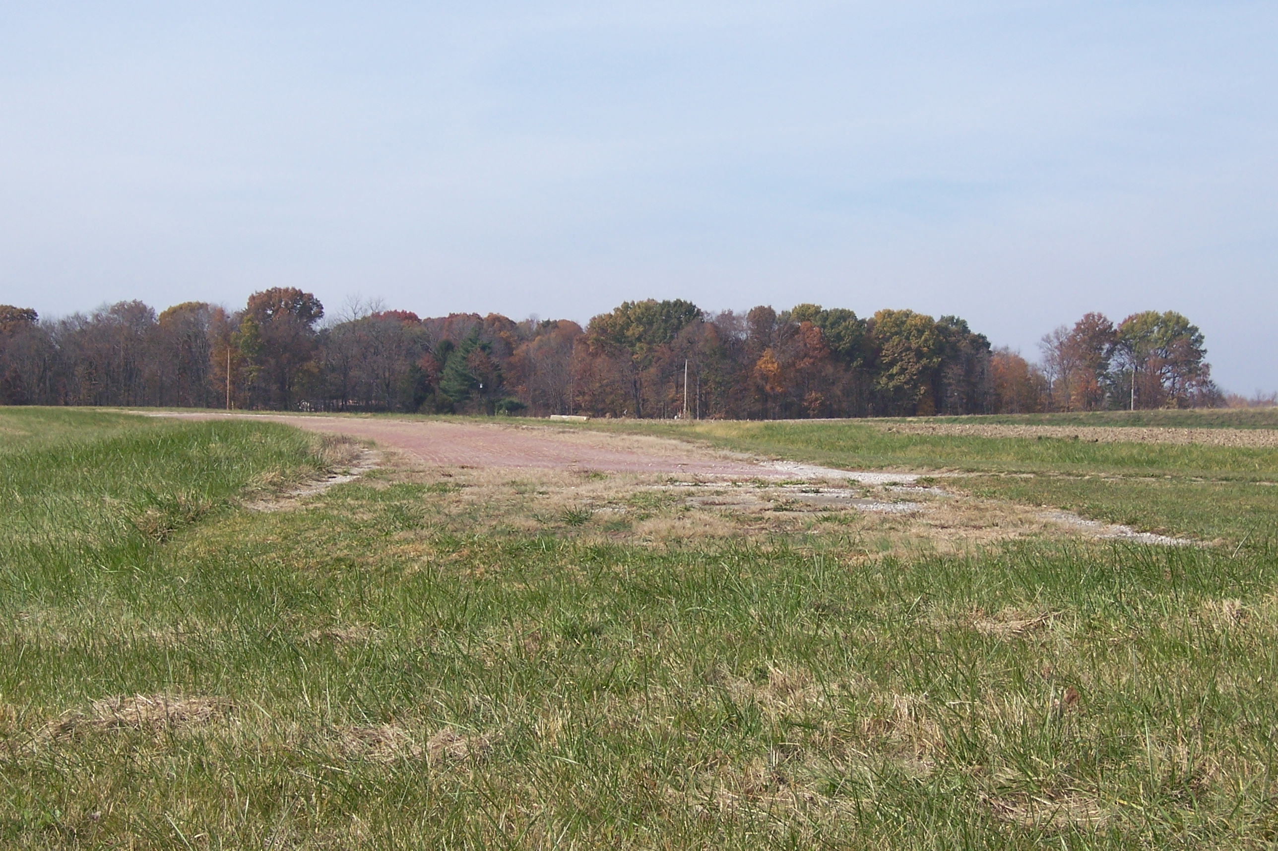
Country Road

Truck_122712_LR-276.jpg
Abandoned Illinois National Road

Truck_090711_LR-177.jpg

19-3.jpg
Abandoned National Road
Abandoned National Road
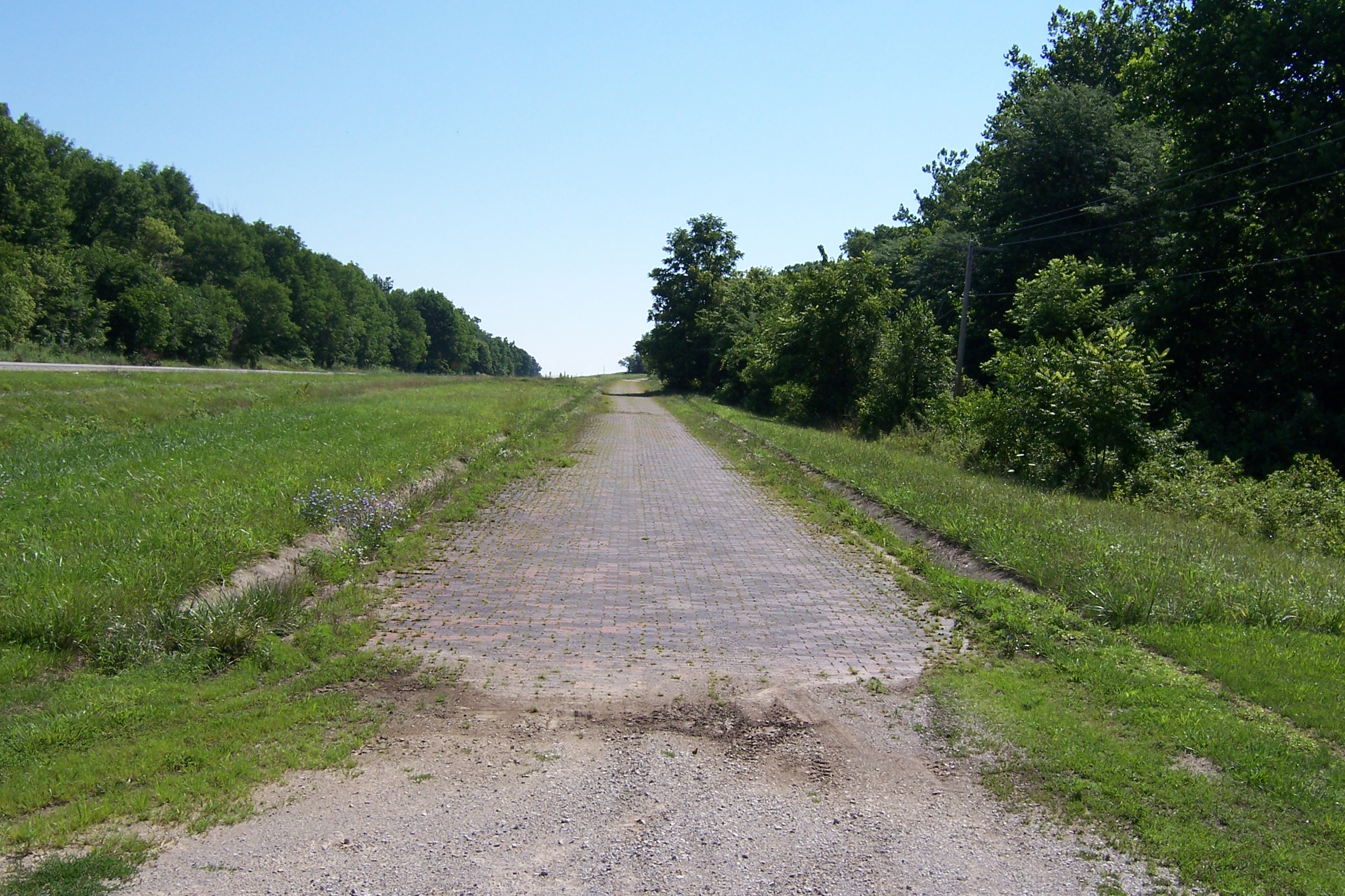
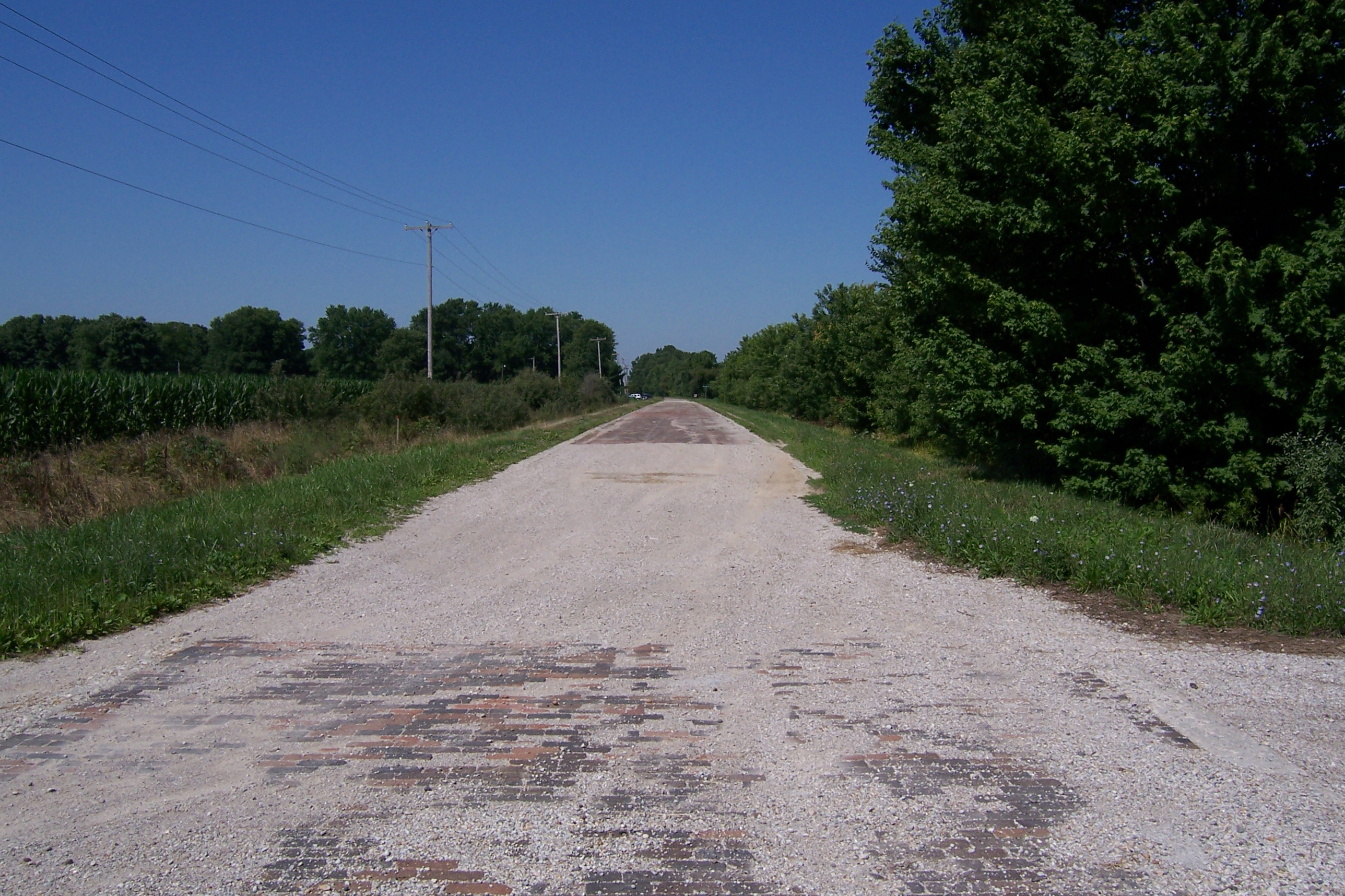
Brick National Road west of Marshall, IL
Abandoned National Road
Abandoned Illinois National Road
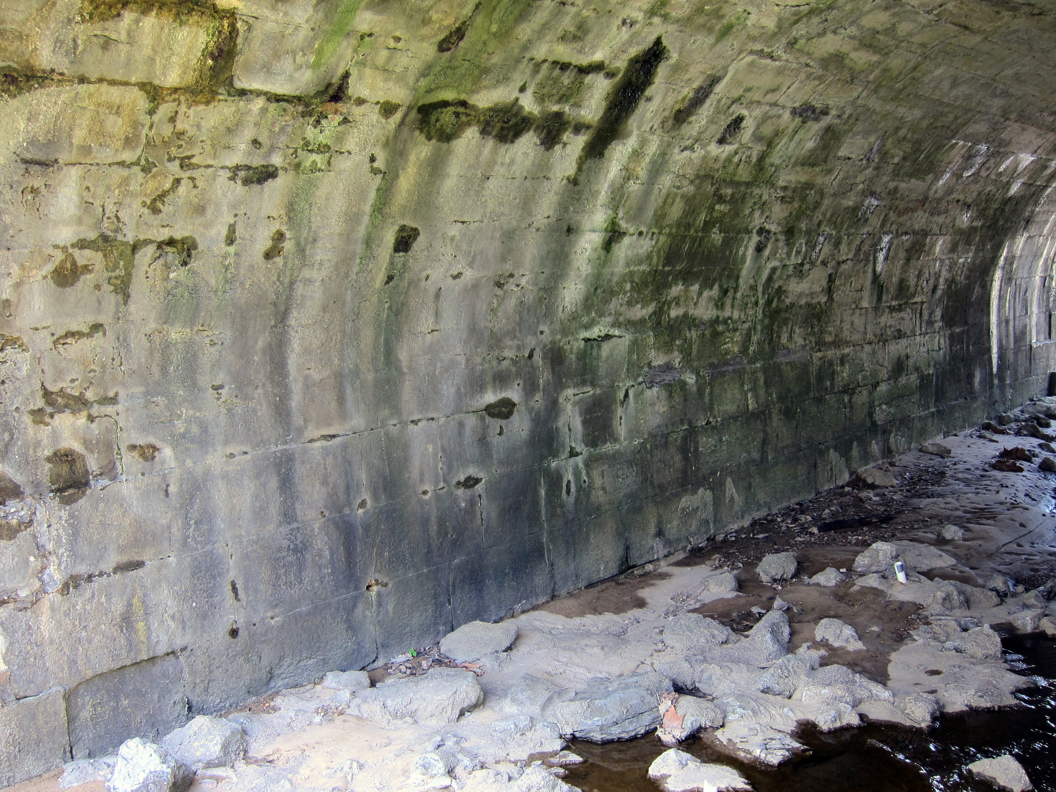
Stone arch bridge in Marshall
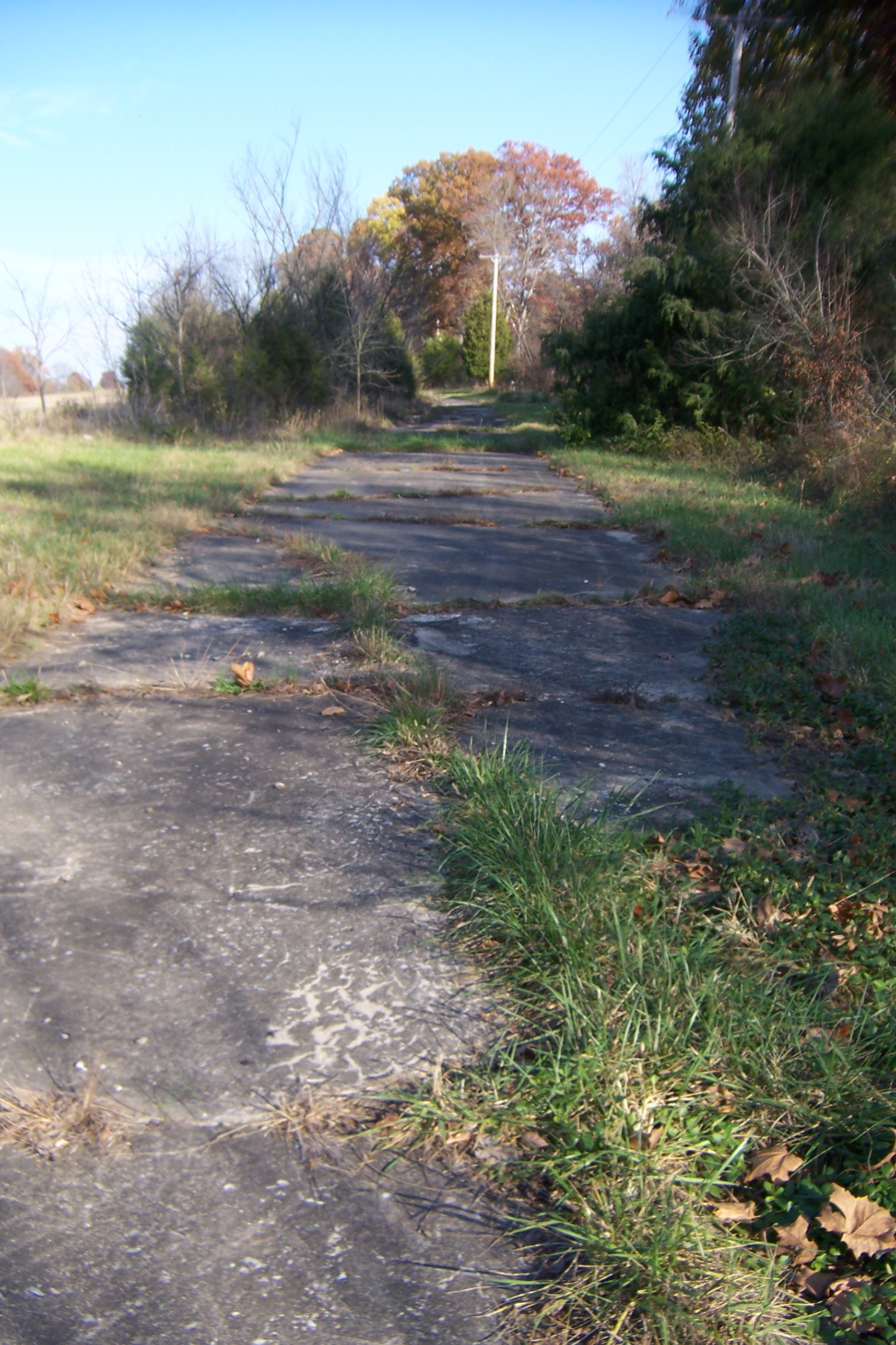
Abandoned Illinois National Road
2015-04-30 06.35.08
Topographic Map of Darwin Township, IL, USA
Find elevation by address:

Places in Darwin Township, IL, USA:
Places near Darwin Township, IL, USA:
IL-1, Marshall, IL, USA
Darwin
Fairbanks Township
N West St, Fairbanks, IN, USA
Fairbanks
Turman Township
N Dodds Bridge Rd, Shelburn, IN, USA
Hutsonville
S Main St, Hutsonville, IL, USA
Hutsonville Township
4190 In-63
Martinsville Township
11223 County Rd 700 E
11520 County Rd 700 E
Cereus Ln, Martinsville, IL, USA
Martinsville
N Trimble Rd, Robinson, IL, USA
Curry Township
Merom Bluff
Merom
Recent Searches:
- Elevation of Groblershoop, South Africa
- Elevation of Power Generation Enterprises | Industrial Diesel Generators, Oak Ave, Canyon Country, CA, USA
- Elevation of Chesaw Rd, Oroville, WA, USA
- Elevation of N, Mt Pleasant, UT, USA
- Elevation of 6 Rue Jules Ferry, Beausoleil, France
- Elevation of Sattva Horizon, 4JC6+G9P, Vinayak Nagar, Kattigenahalli, Bengaluru, Karnataka, India
- Elevation of Great Brook Sports, Gold Star Hwy, Groton, CT, USA
- Elevation of 10 Mountain Laurels Dr, Nashua, NH, USA
- Elevation of 16 Gilboa Ln, Nashua, NH, USA
- Elevation of Laurel Rd, Townsend, TN, USA