Elevation of N West St, Fairbanks, IN, USA
Location: United States > Indiana > Sullivan County >
Longitude: -87.522216
Latitude: 39.219501
Elevation: 170m / 558feet
Barometric Pressure: 99KPa
Elevation Map:
Satellite Map:
Related Photos:
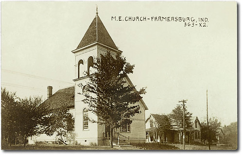
M. E. Church, Farmersburg, Indiana
IMG_6873-2
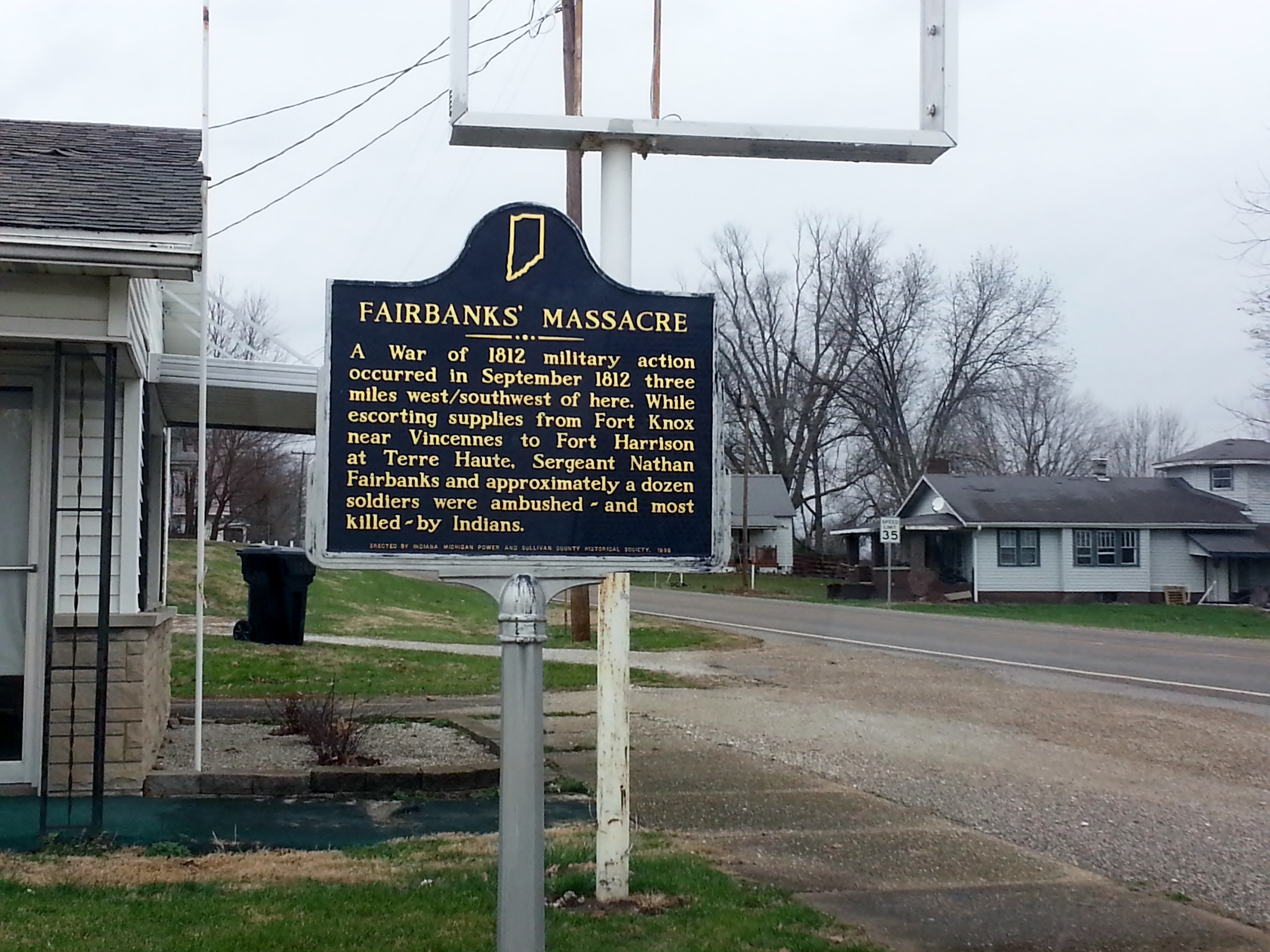
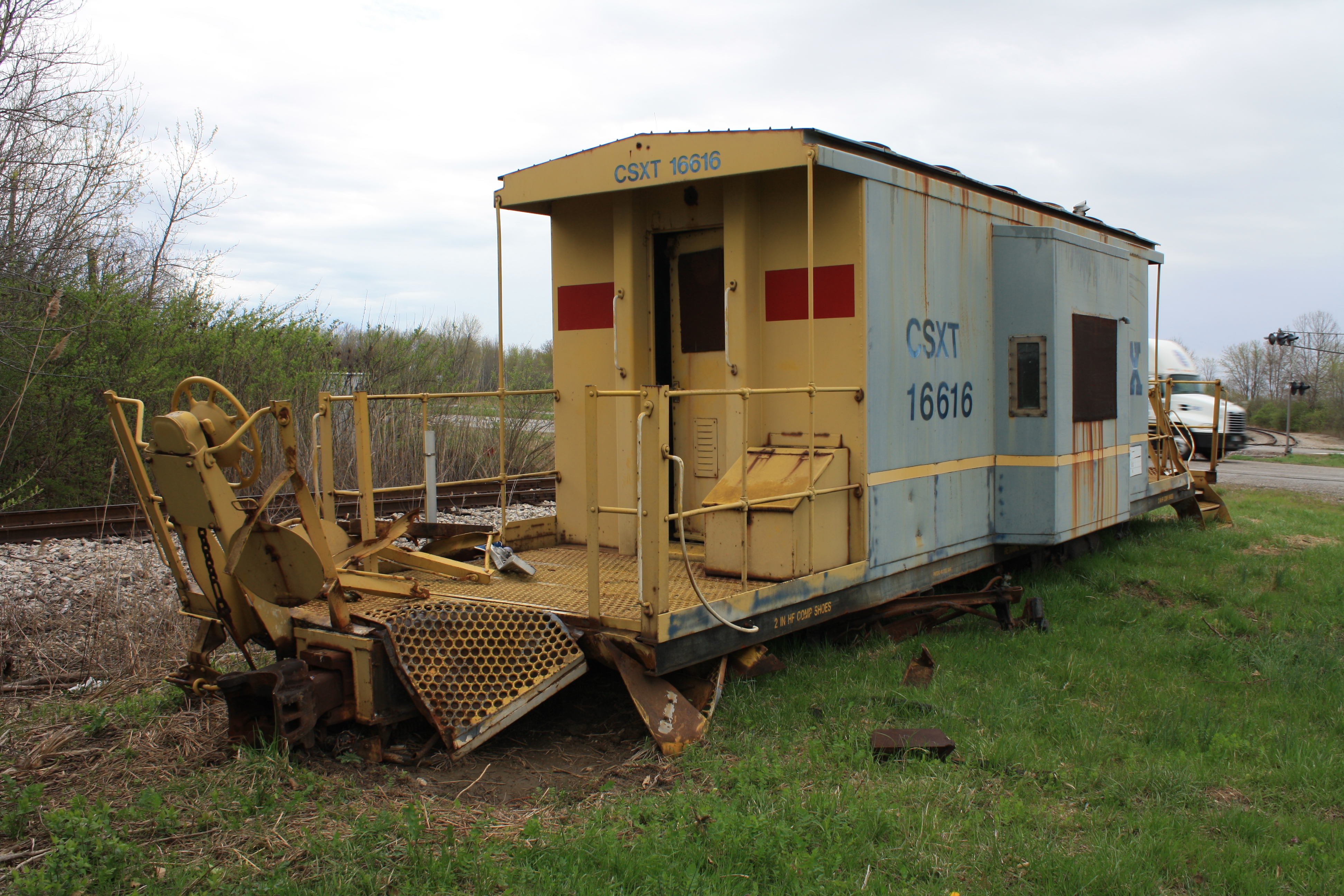
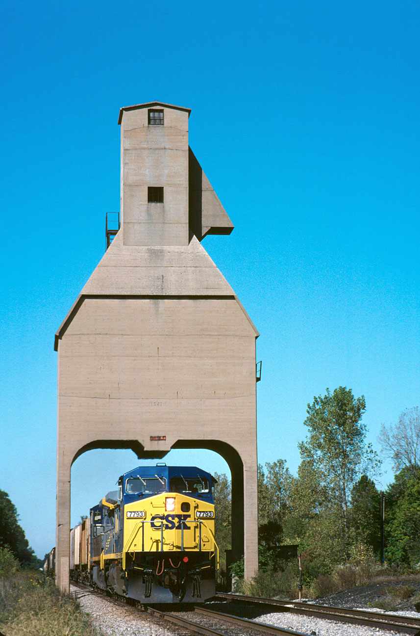
Fairbanks Massacre
Hiding in plain sight
Bent out of shape
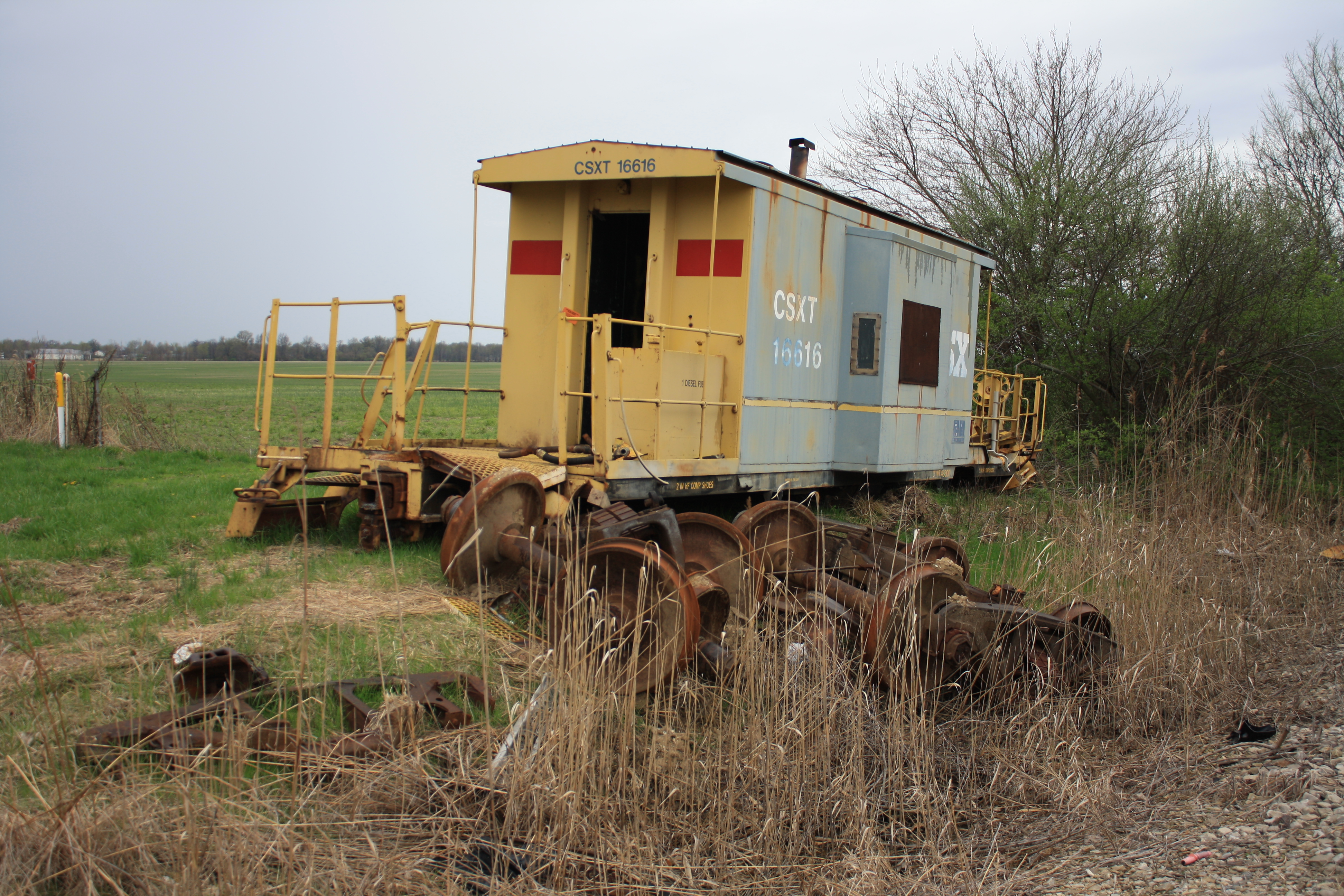
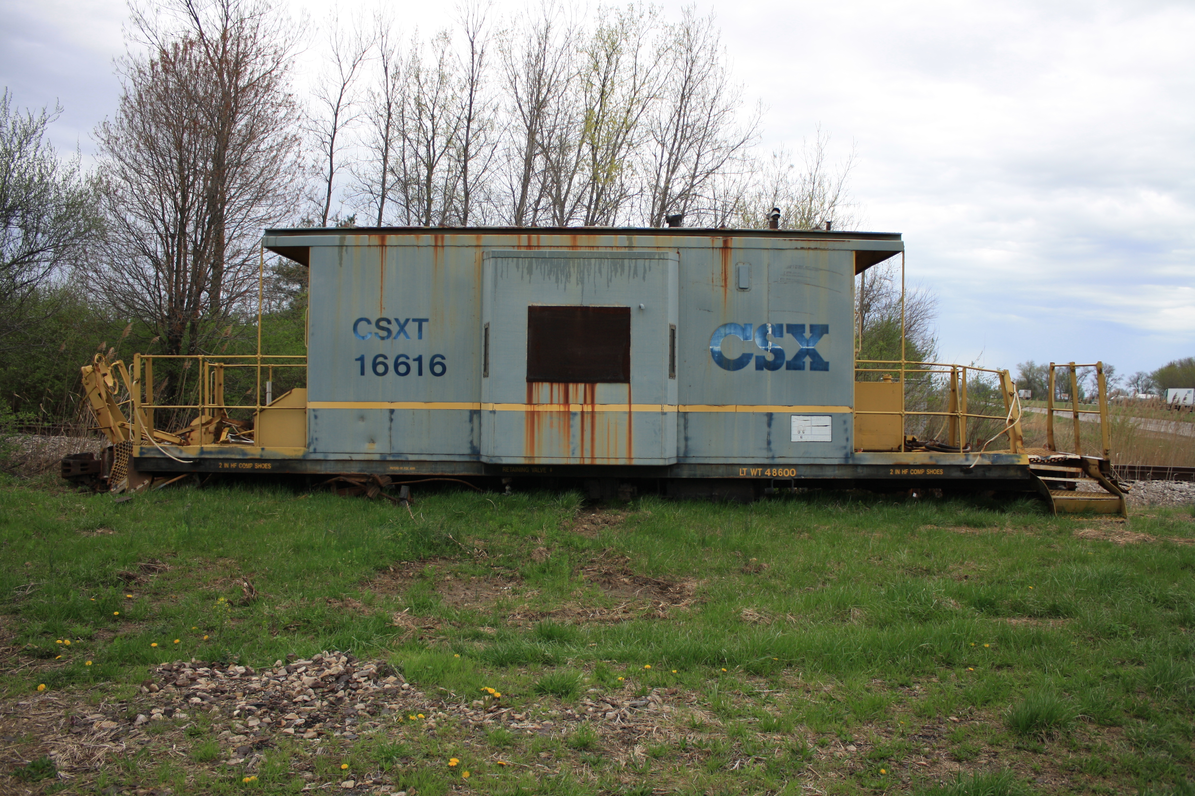
Forgotten derailment casualty
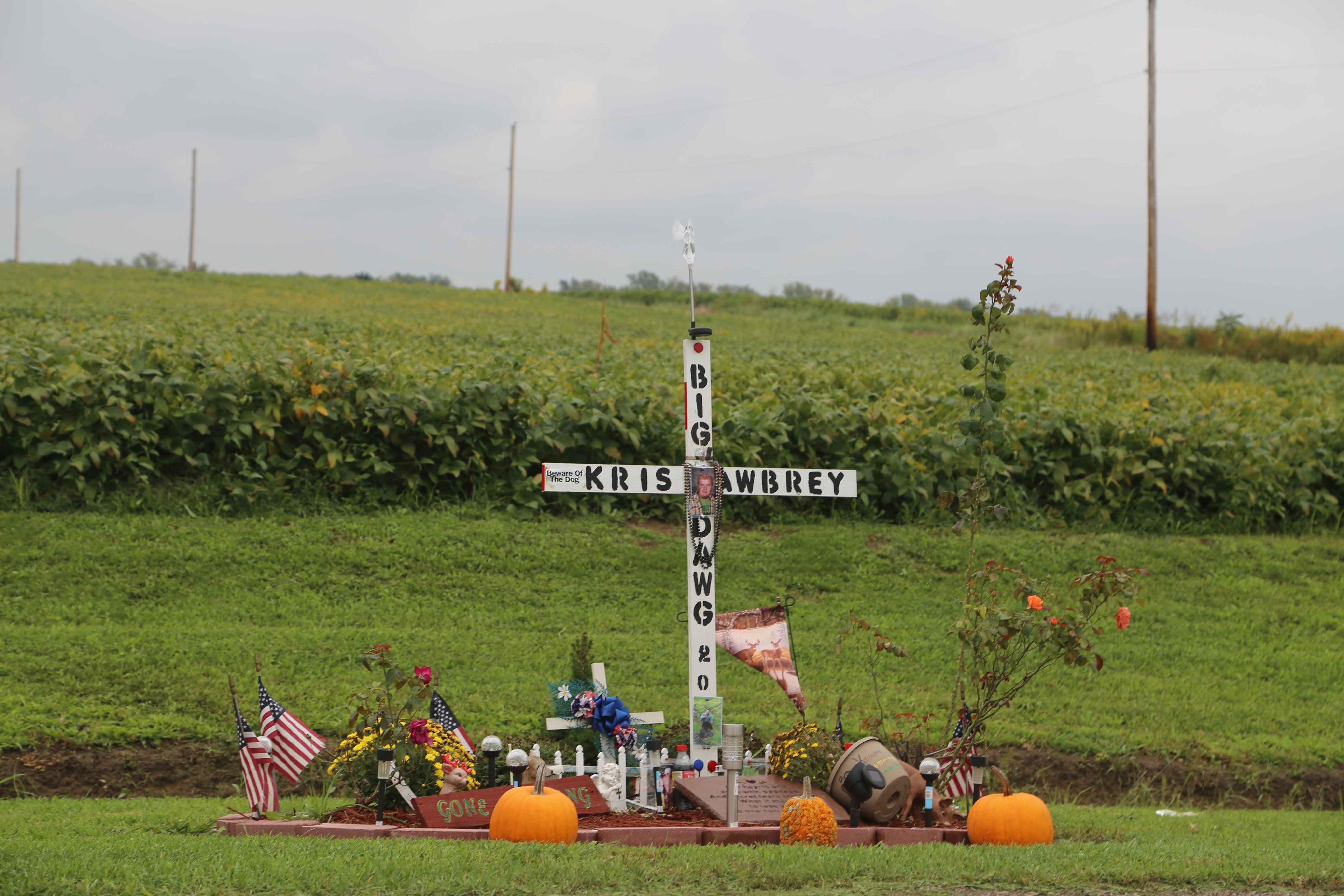
Roadside Memorial, IL Rt1, Clark Co IL

Indiana - Terre Haute - Hoosier Prairie Elementary School - Jessica & Mr. Roundtree, Principal - Halloween Assembly - October 1981

Indiana - Terre Haute - Hoosier Prairie Elementary School - Jessica a Princess for Halloween - October 1981

Camp Marshal,IL

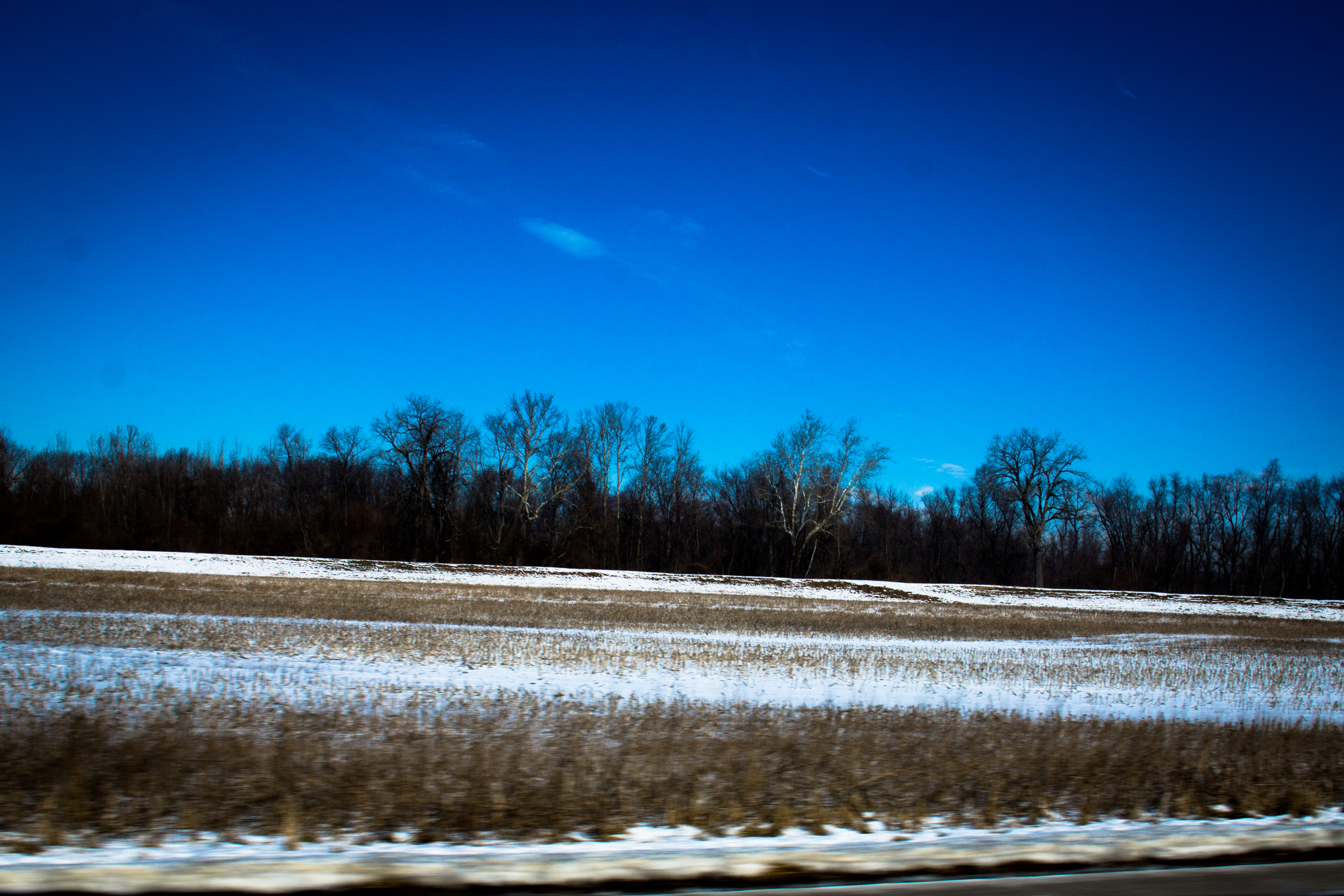
In the middle of nowhere, Indiana.

A heart shaped bottle opener is the best shaped bottle opener.

Little Toe Opel GT Mud Car
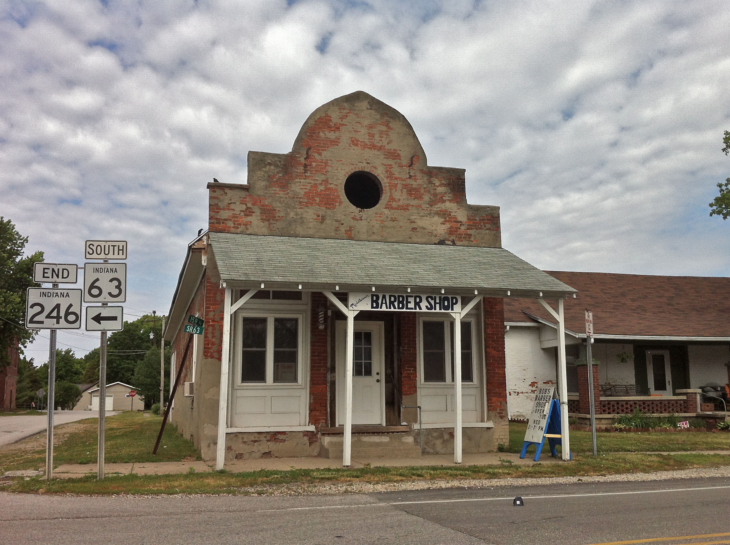
Bob's Barber Shop

Chautauqua Banner

R123 at Sullivan

Camping and s'mores.
Southbound at Sullivan
Q647 at Sullivan
Algal Bloom

muskrat love.
Topographic Map of N West St, Fairbanks, IN, USA
Find elevation by address:

Places near N West St, Fairbanks, IN, USA:
Fairbanks
Fairbanks Township
N Dodds Bridge Rd, Shelburn, IN, USA
4190 In-63
Turman Township
Darwin
Curry Township
E County Road N, Shelburn, IN, USA
Shelburn
Farmersburg
Darwin Township
N Co Rd E, Sullivan, IN, USA
Sullivan County
Merom
Merom Bluff
Hutsonville
S Main St, Hutsonville, IL, USA
IL-1, Marshall, IL, USA
S Merom Station Rd, Merom, IN, USA
Hutsonville Township
Recent Searches:
- Elevation of Jadagoniai, Kaunas District Municipality, Lithuania
- Elevation of Pagonija rock, Kranto 7-oji g. 8"N, Kaunas, Lithuania
- Elevation of Co Rd 87, Jamestown, CO, USA
- Elevation of Tenjo, Cundinamarca, Colombia
- Elevation of Côte-des-Neiges, Montreal, QC H4A 3J6, Canada
- Elevation of Bobcat Dr, Helena, MT, USA
- Elevation of Zu den Ihlowbergen, Althüttendorf, Germany
- Elevation of Badaber, Peshawar, Khyber Pakhtunkhwa, Pakistan
- Elevation of SE Heron Loop, Lincoln City, OR, USA
- Elevation of Slanický ostrov, 01 Námestovo, Slovakia