Elevation of Clark County, IL, USA
Location: United States > Illinois >
Longitude: -87.776333
Latitude: 39.3824189
Elevation: 209m / 686feet
Barometric Pressure: 99KPa
Elevation Map:
Satellite Map:
Related Photos:
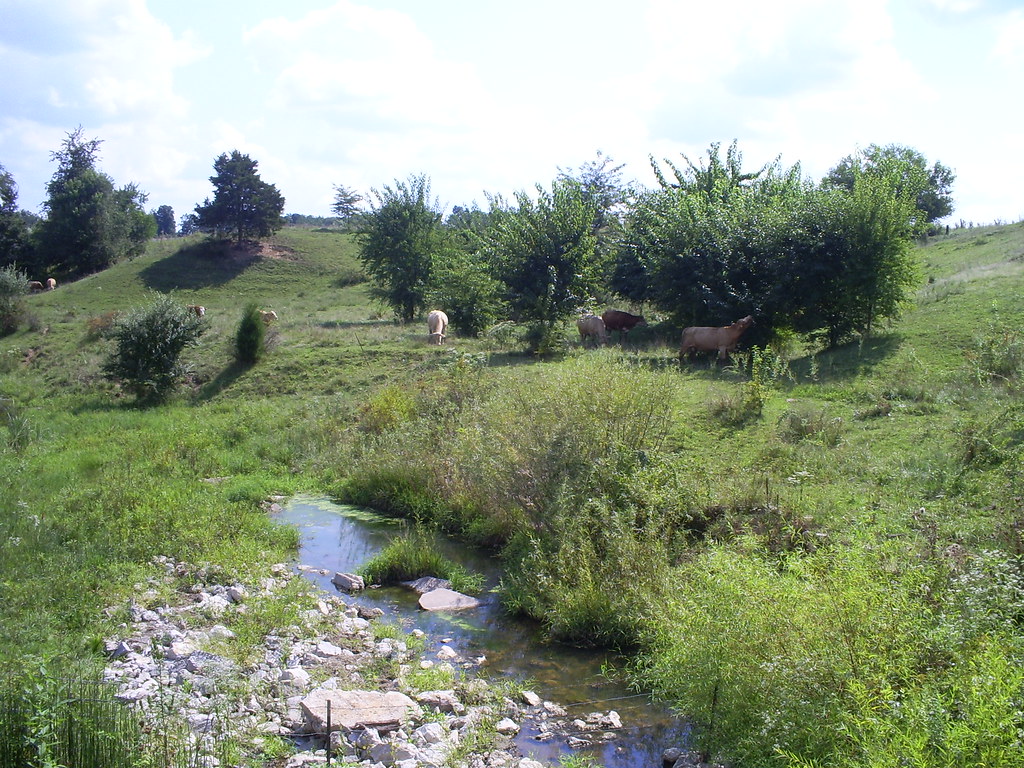
View from the Covered Bridge
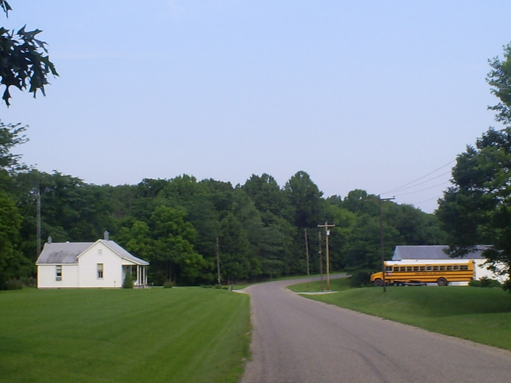
Country Road

Truck_122712_LR-276.jpg
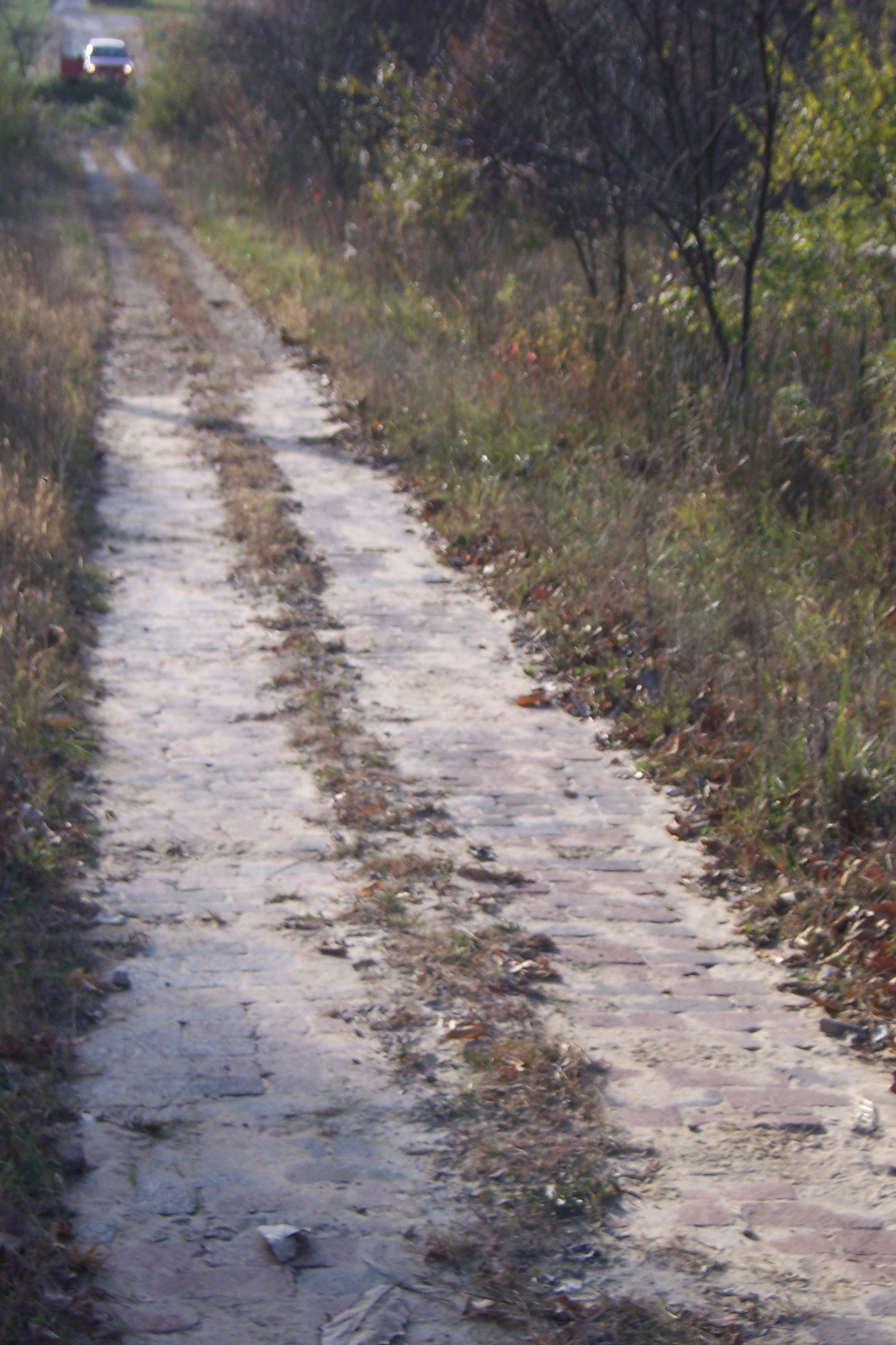
Abandoned Illinois National Road

Truck_090711_LR-177.jpg

19-3.jpg
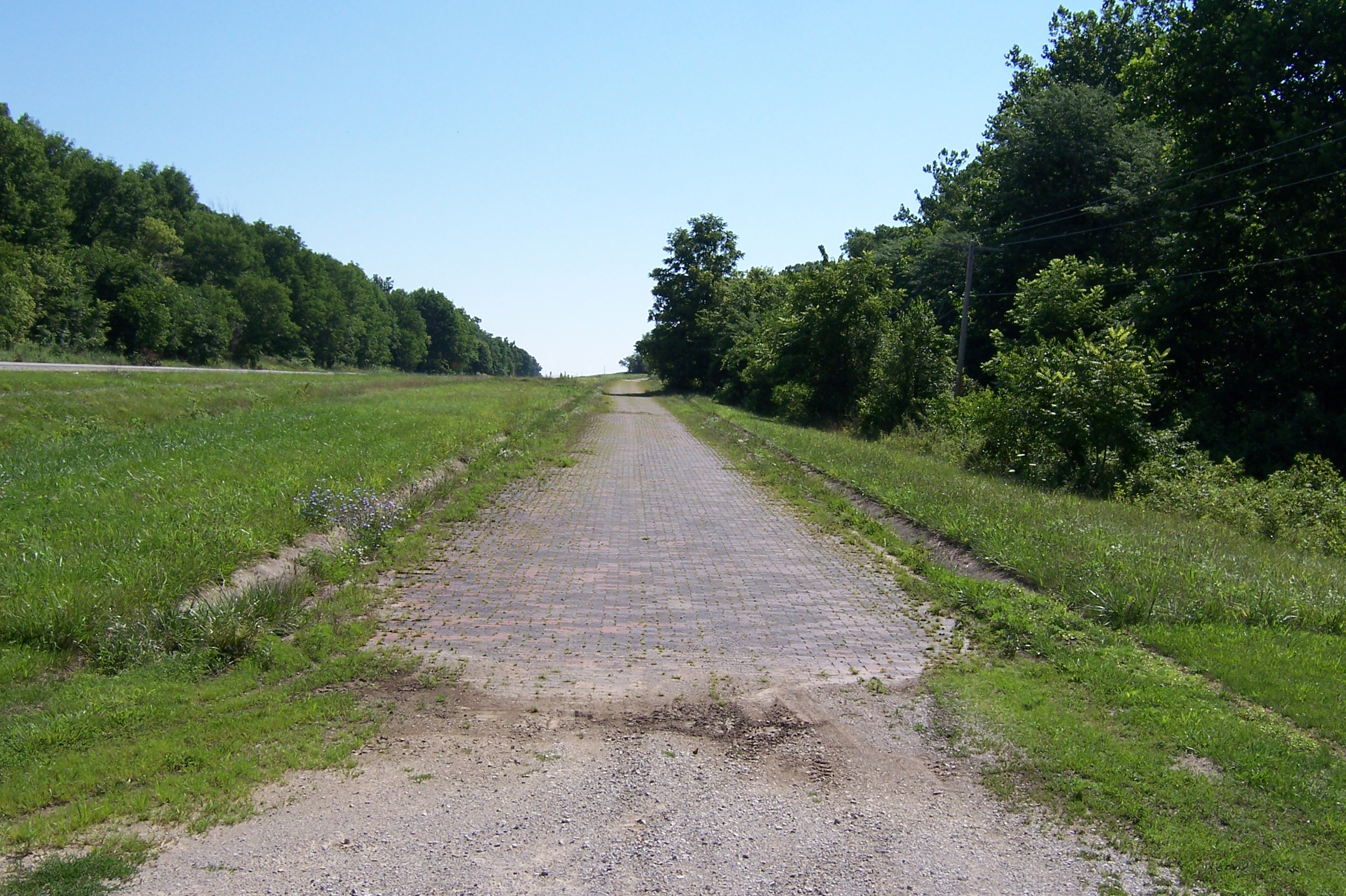
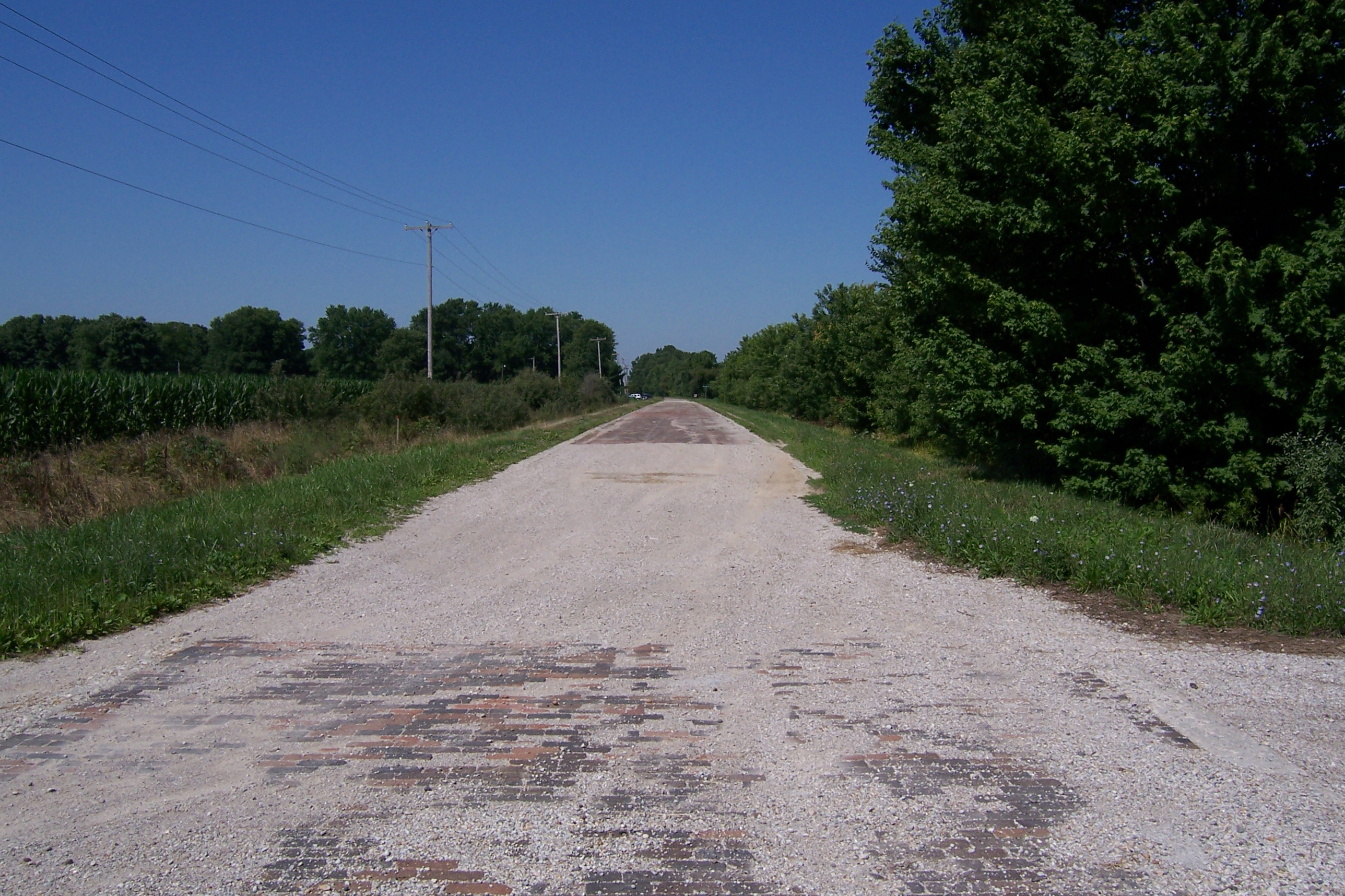
Brick National Road west of Marshall, IL
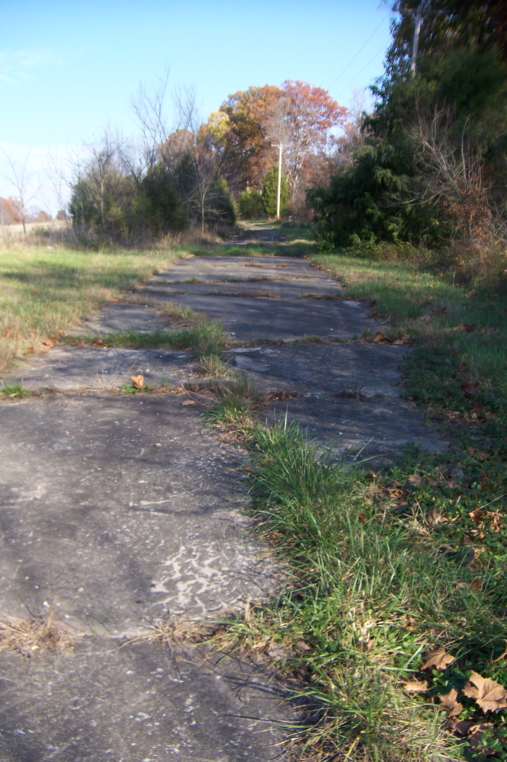
Abandoned National Road
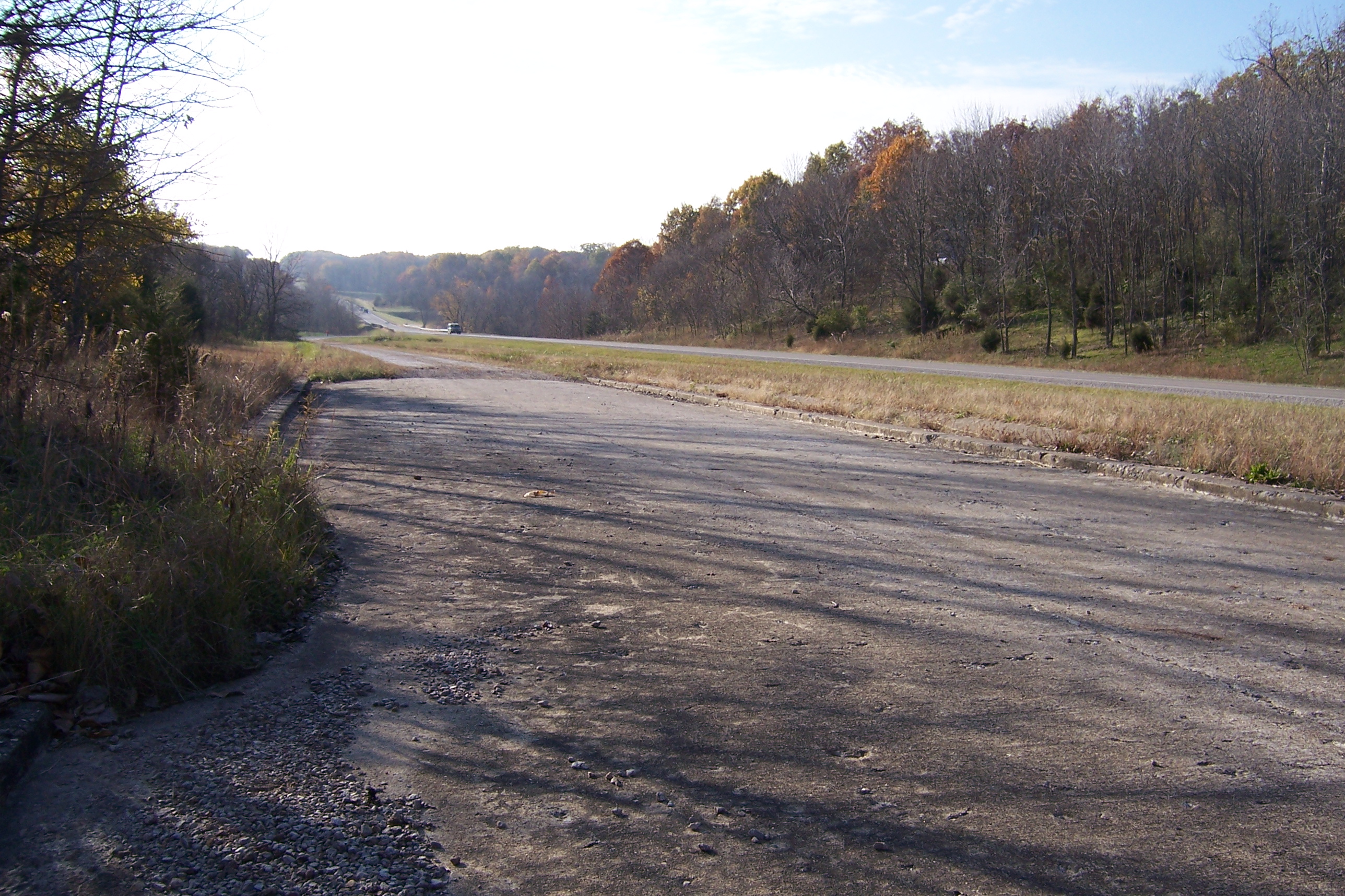
Abandoned Illinois National Road
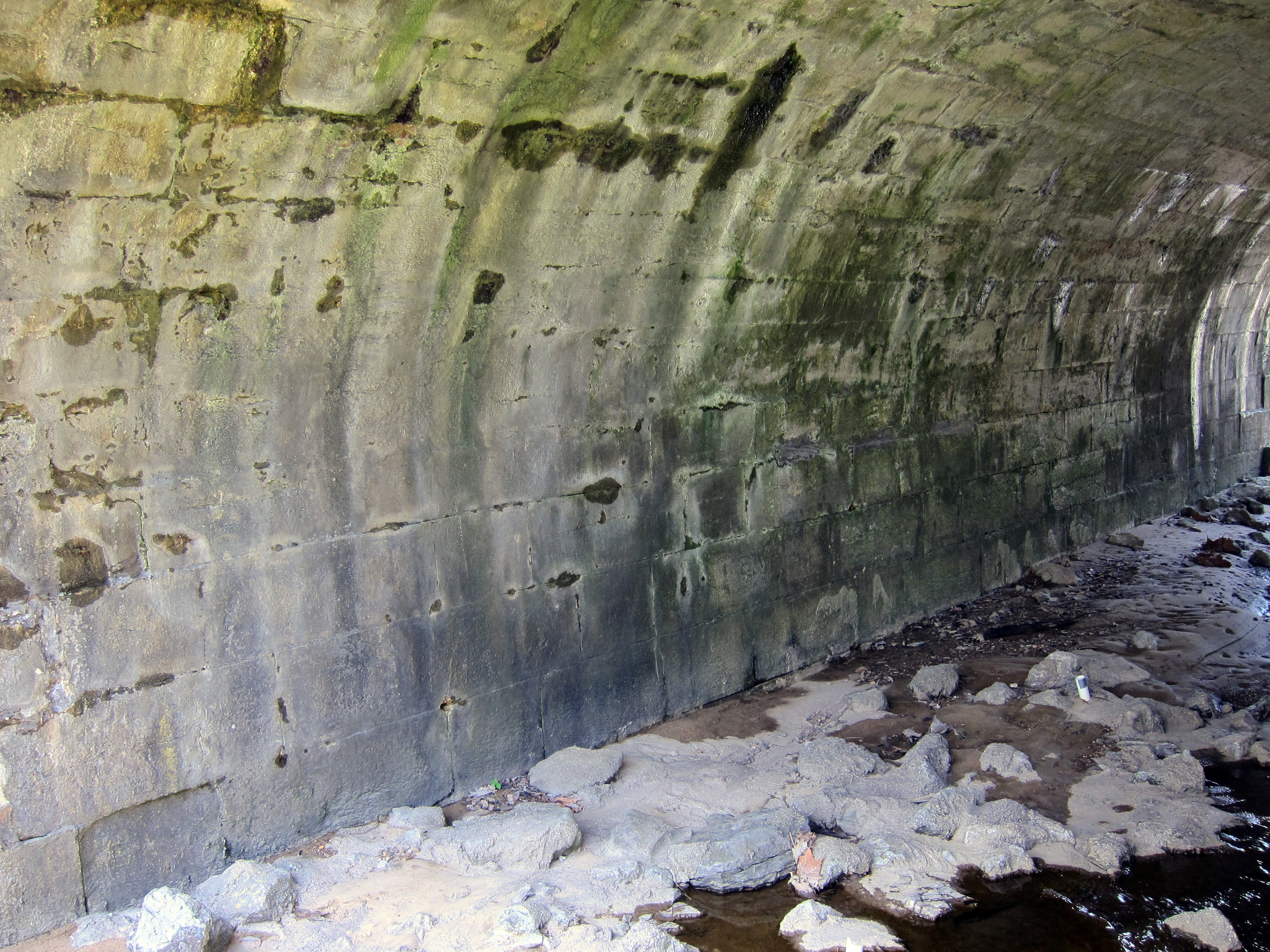
Stone arch bridge in Marshall
Abandoned Illinois National Road

2015-04-30 06.35.08
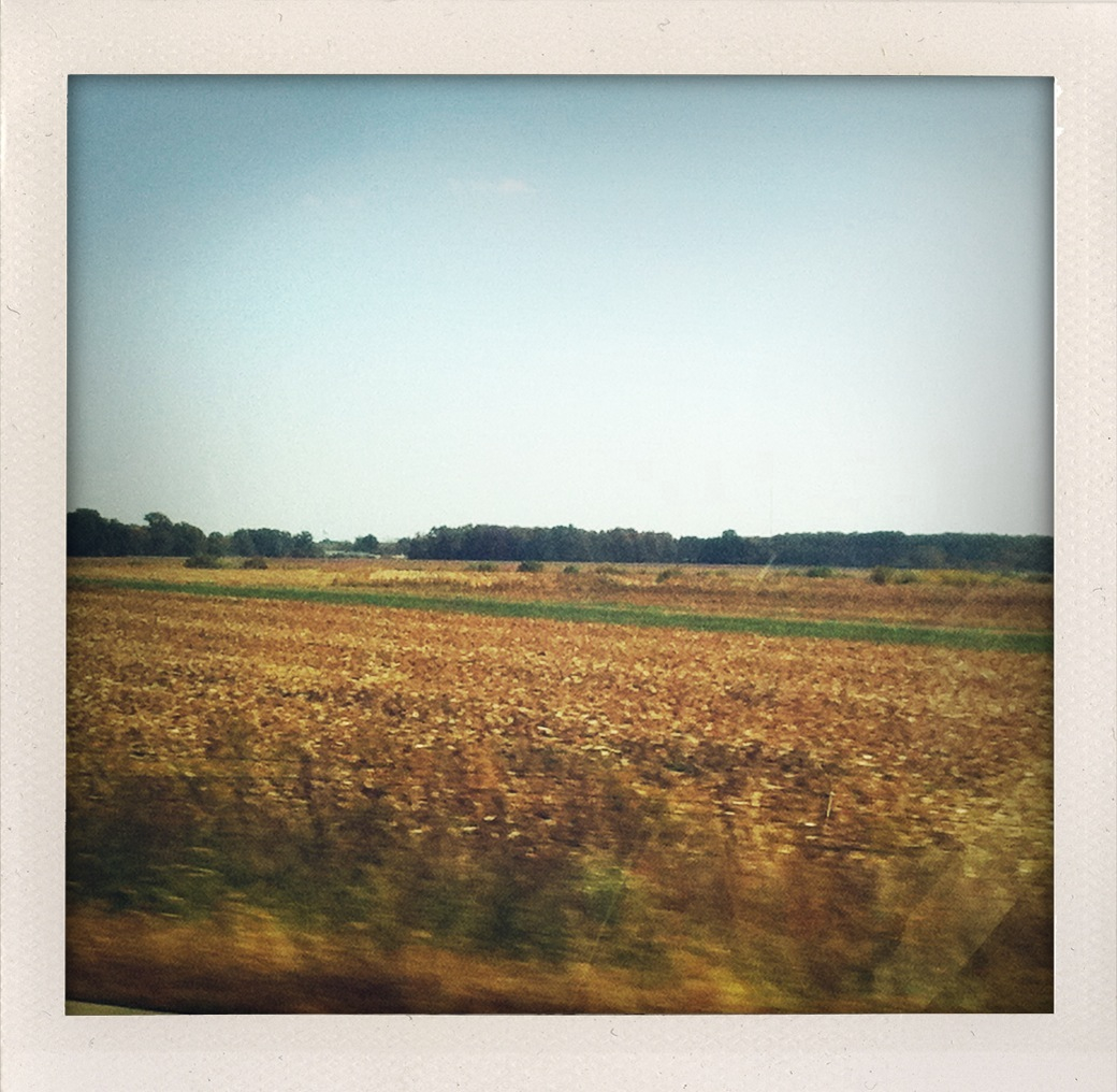
Endless Illinois.
Camera Roll-6

Truck_072611_LR-121.jpg

Truck_072611_LR-125.jpg

Camera Roll-7
Topographic Map of Clark County, IL, USA
Find elevation by address:

Places in Clark County, IL, USA:
Martinsville Township
Dolson Township
Darwin Township
Marshall Township
Casey Township
Westfield Township
Wabash Township
Places near Clark County, IL, USA:
Marshall Township
627 Archer Ave
Marshall
Dolson Township
21990 N Cline Orchard Rd
21990 N Cline Orchard Rd
Grandview Township
US-40, Marshall, IL, USA
7608 Il-16
Wabash Township
Westfield Township
E, Paris, IL, USA
17968 E Terre Haute Rd
Elbridge Township
E Terre Haute Rd, Paris, IL, USA
Westfield
E State St, Westfield, IL, USA
920 W Crawford St
Kansas
309 Alexander St
Recent Searches:
- Elevation of Steadfast Ct, Daphne, AL, USA
- Elevation of Lagasgasan, X+CQH, Tiaong, Quezon, Philippines
- Elevation of Rojo Ct, Atascadero, CA, USA
- Elevation of Flagstaff Drive, Flagstaff Dr, North Carolina, USA
- Elevation of Avery Ln, Lakeland, FL, USA
- Elevation of Woolwine, VA, USA
- Elevation of Lumagwas Diversified Farmers Multi-Purpose Cooperative, Lumagwas, Adtuyon, RV32+MH7, Pangantucan, Bukidnon, Philippines
- Elevation of Homestead Ridge, New Braunfels, TX, USA
- Elevation of Orchard Road, Orchard Rd, Marlborough, NY, USA
- Elevation of 12 Hutchinson Woods Dr, Fletcher, NC, USA