Elevation of Danville Township, MO, USA
Location: United States > Missouri > Montgomery County >
Longitude: -91.540232
Latitude: 38.8731526
Elevation: 224m / 735feet
Barometric Pressure: 99KPa
Elevation Map:
Satellite Map:
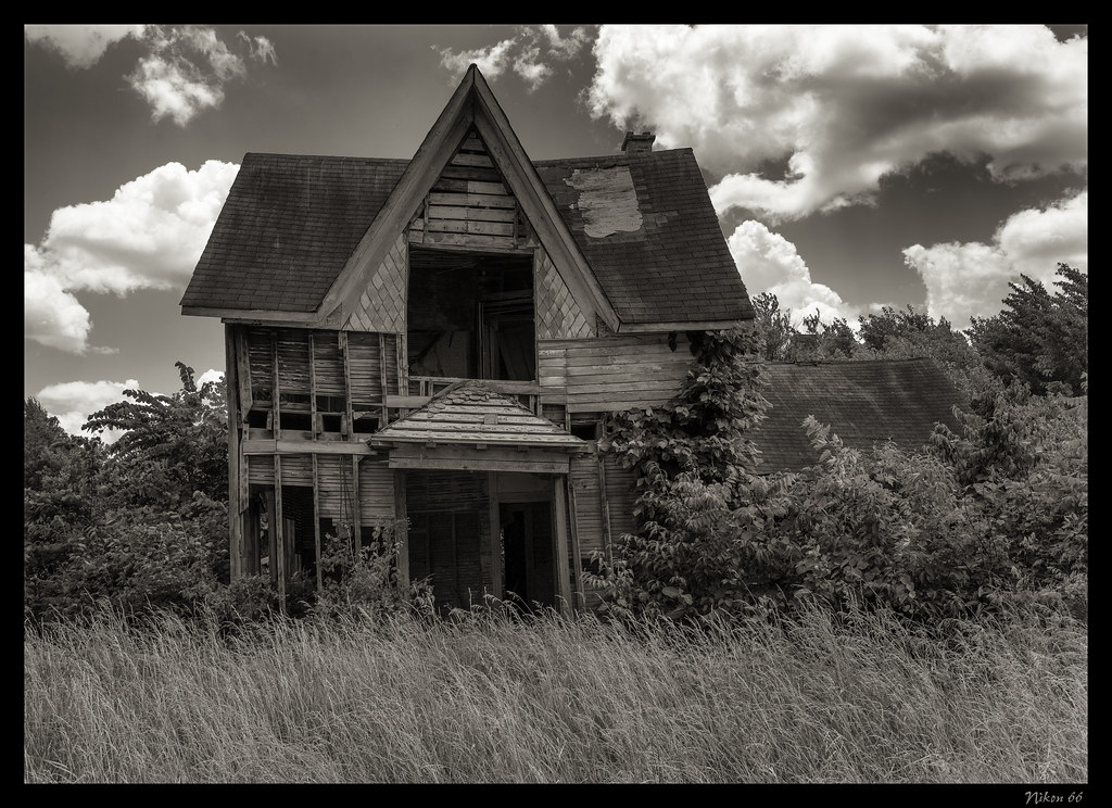
Related Photos:

Mossy Bluff
Williamsburg, Missouri - Historic Boon's Lick Road

'Home Stretch' ~ Rural Missouri

Evening Layers
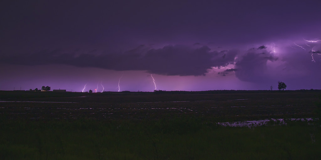
Electric Nights

Electric Traffic

Fox on the Rocks

Field of Corn

Cinematic Skies
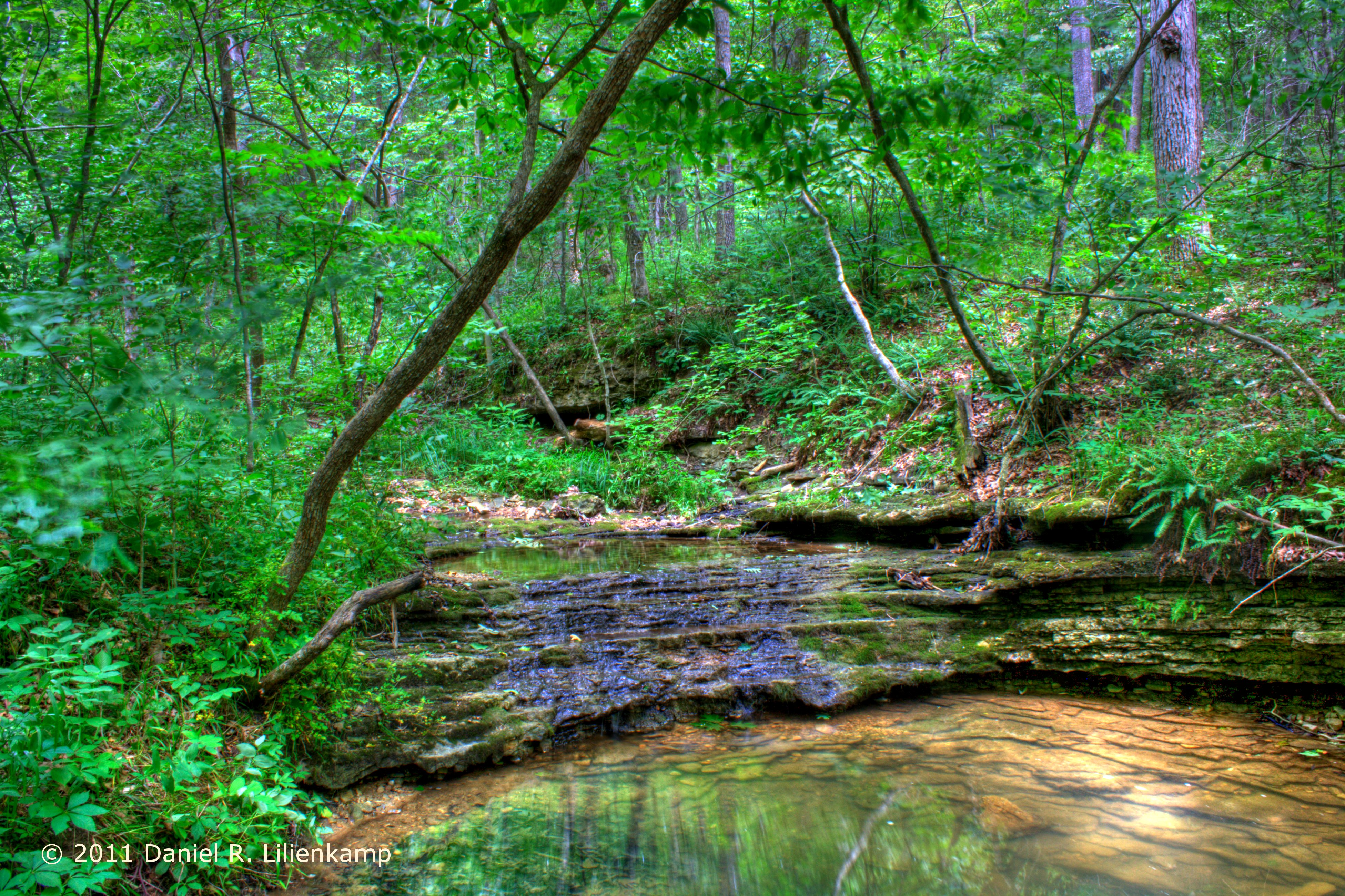
174/365 Waterfall

Evening Color

Horizon Burning

A fun morning at Graham Cave State Park.

Scattered Showers
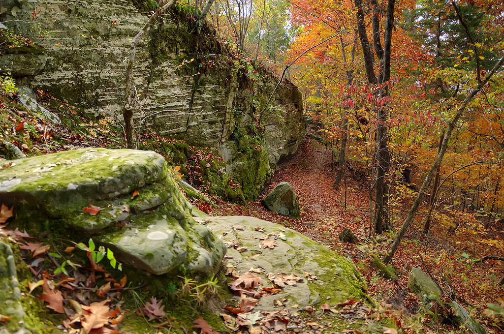
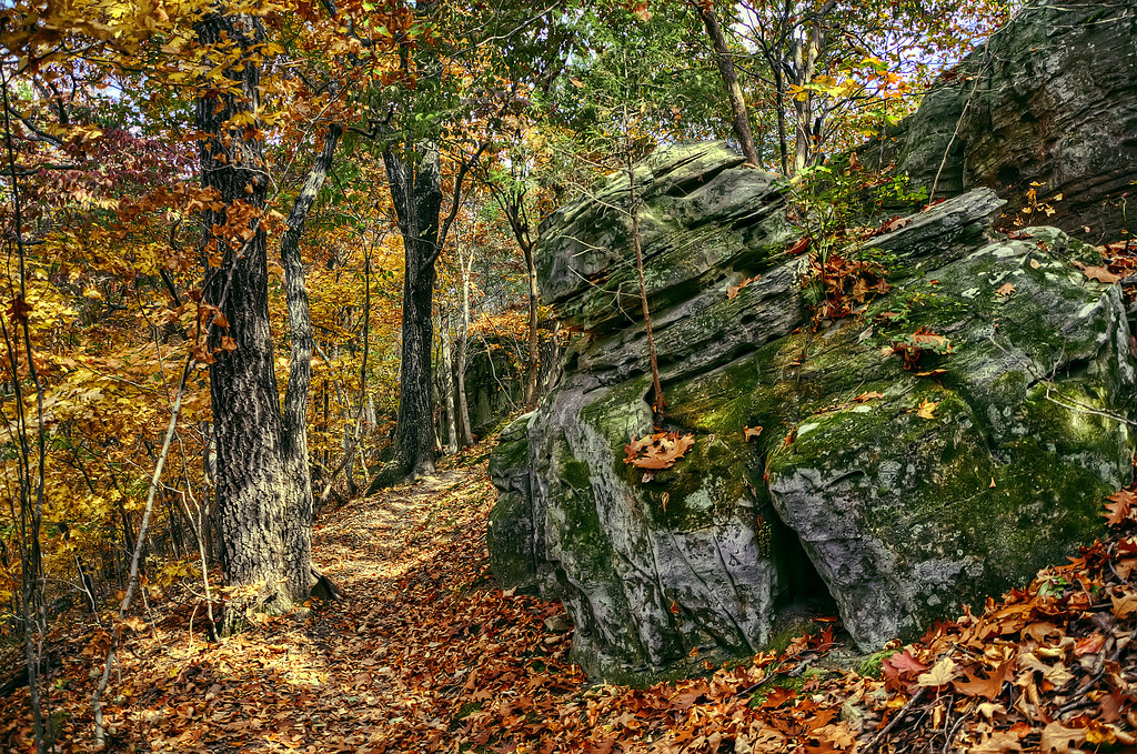
Autumn Trail

Amazing Missouri Sky
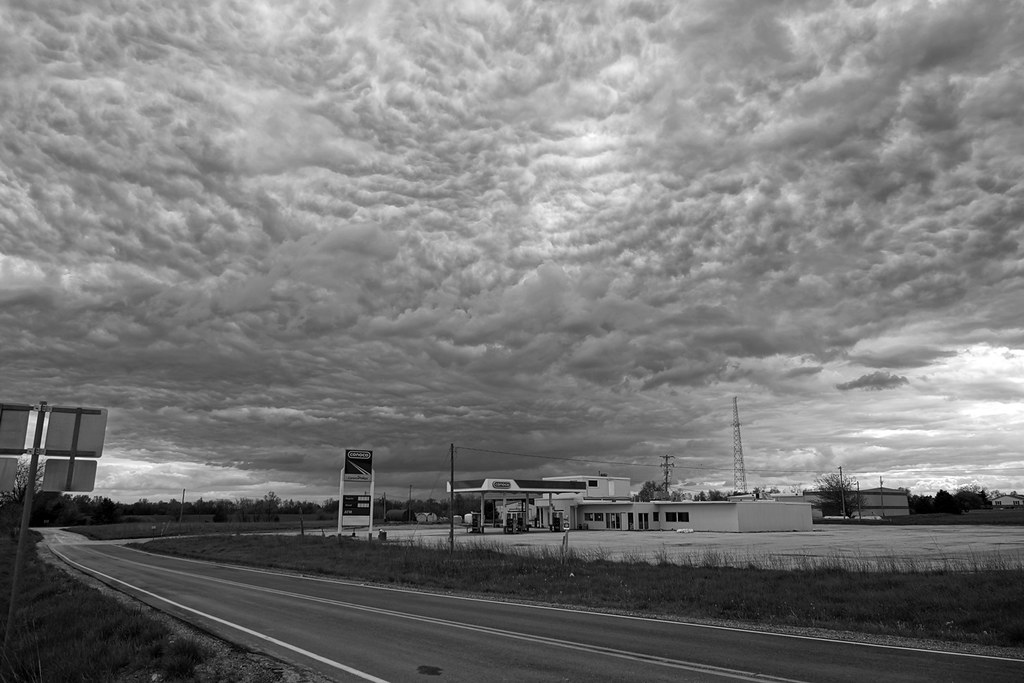
Out of Gas

Road To The Sunset

Above a Waterfall

The Path Ahead

Sunset-Overpass

Through The Woods
Old Man Rock
Topographic Map of Danville Township, MO, USA
Find elevation by address:

Places in Danville Township, MO, USA:
Places near Danville Township, MO, USA:
Danville
Montgomery County
Montgomery County
MO-19, New Florence, MO, USA
485 Booneslick Rd
New Florence
Loutre Township
Montgomery City
County Road 1033
MO-, Montgomery City, MO, USA
Montgomery Township
139 Porters Rd
Rhineland
Williamsburg
Bluffton
4 Schiller St
Hermann
Nine Mile Prairie Township
1116 Washington St
1116 Washington St
Recent Searches:
- Elevation of 3 Nestling Wood Dr, Long Valley, NJ, USA
- Elevation of Ilungu, Tanzania
- Elevation of Yellow Springs Road, Yellow Springs Rd, Chester Springs, PA, USA
- Elevation of Rēzekne Municipality, Latvia
- Elevation of Plikpūrmaļi, Vērēmi Parish, Rēzekne Municipality, LV-, Latvia
- Elevation of 2 Henschke Ct, Caboolture QLD, Australia
- Elevation of Redondo Ave, Long Beach, CA, USA
- Elevation of Sadovaya Ulitsa, 20, Rezh, Sverdlovskaya oblast', Russia
- Elevation of Ulitsa Kalinina, 79, Rezh, Sverdlovskaya oblast', Russia
- Elevation of 72-31 Metropolitan Ave, Middle Village, NY, USA