Elevation of Bluffton, MO, USA
Location: United States > Missouri > Montgomery County > Loutre Township >
Longitude: -91.624614
Latitude: 38.7075437
Elevation: 161m / 528feet
Barometric Pressure: 99KPa
Elevation Map:
Satellite Map:
Related Photos:

View of electrical lines crossing the MO River on MO-100 in Osage County from Callaway Nuclear Plant

Church of the Risen Savior (Saint Joseph), in Rhineland, Missouri, USA - view of Missouri River flood plain from cemetery
Church of the Risen Savior (Saint Joseph), in Rhineland, Missouri, USA - view of Missouri River flood plain from church

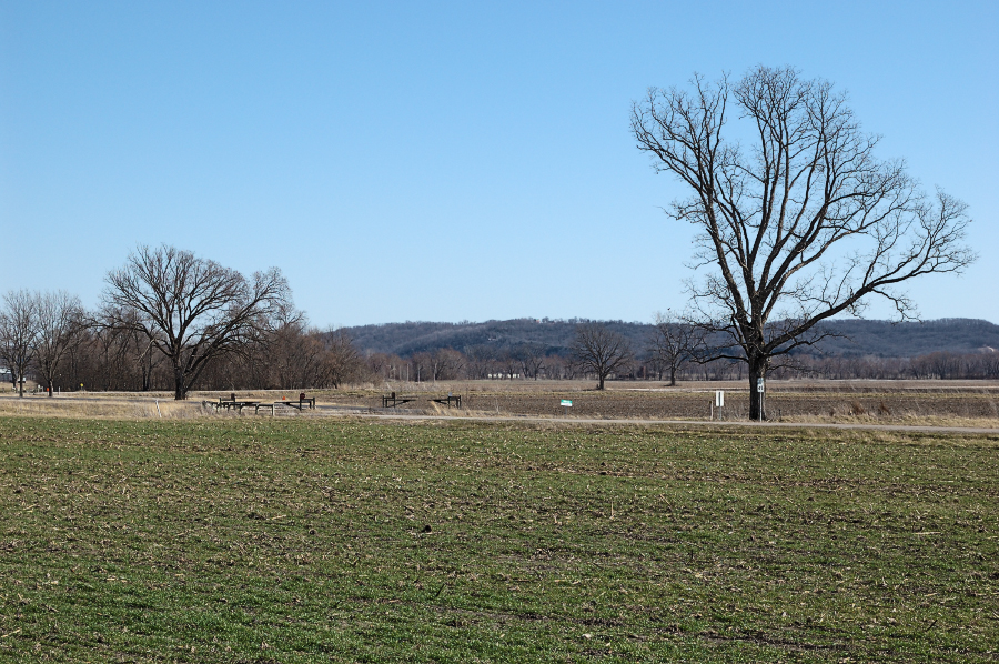
View of Southern Montgomery County

Farmland IR 11.12.2006

Trapezoid View

Saint George Catholic Church, in Hermann, Missouri - view from a distance 1.jpg

Stone Hill was open on July 4th. I was surprised that they'd be open, but when the shock faded, I recovered quickly enough to buy wine and to admire the view.

Saint George Catholic Church, in Hermann, Missouri - view from a distance 2.jpg

Hermann, 21 May 2005 (1)

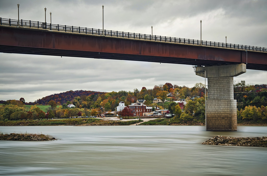
View of Hermann from Stone Hill Winery

View of Hermann from Stone Hill Winery

'Home Stretch' ~ Rural Missouri

There are no great days left... just days

Along The Missouri

Horizon Burning

Country Road

Amazing Missouri Sky

Missouri River Rays

Road To The Sunset

Rustic Rivers Edge
Hermann Missouri

River Bottom Road

Stray Landscape

Shrine of Our Lady of Sorrows, Starkenburg, MO

Shrine of Our Lady of Sorrows, Starkenburg, MO
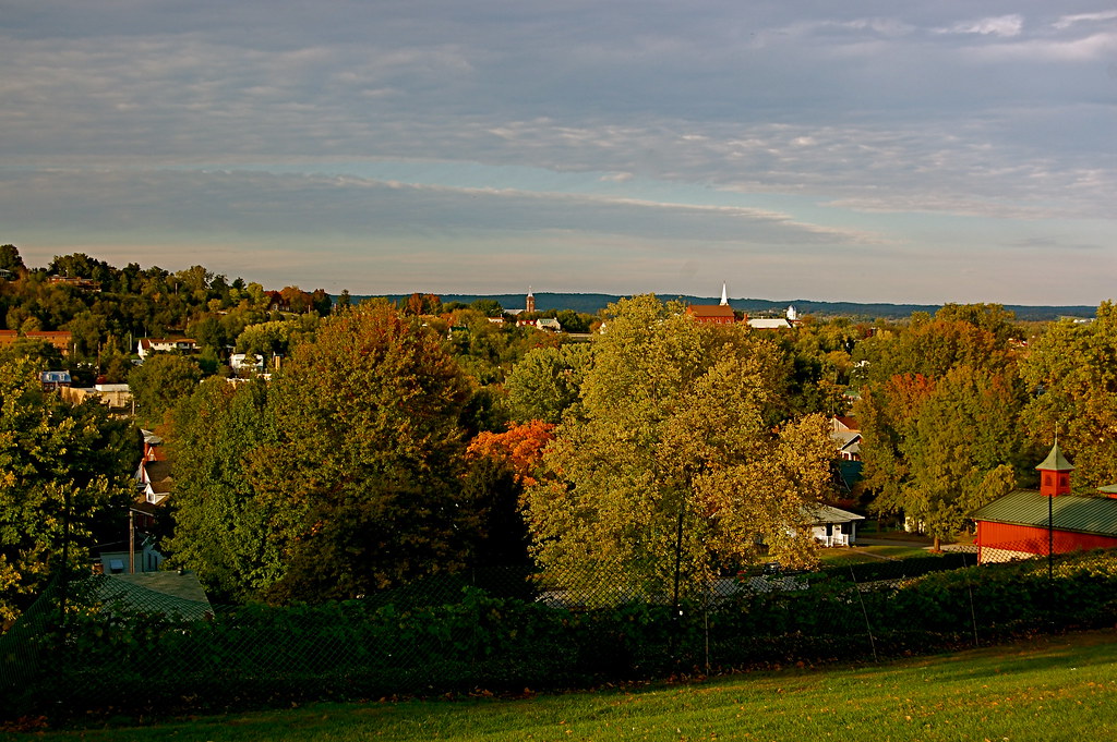
Sleepy Hermann, Missouri
Topographic Map of Bluffton, MO, USA
Find elevation by address:

Places near Bluffton, MO, USA:
Morrison
Loutre Township
Richland Township
Rhineland
Auxvasse Township
Pershing Rd, Morrison, MO, USA
8282 Mo-89
Benton Township
N Cherry St, Chamois, MO, USA
Chamois
206 Market St
206 Market St
Roark Township
MO-19, New Florence, MO, USA
1116 Washington St
1116 Washington St
Danville Township
Hermann
4 Schiller St
1164 Lovers Ln
Recent Searches:
- Elevation of Falling Spring Rd, Clyde, NC, USA
- Elevation of Kingsfield St, Castle Rock, CO, USA
- Elevation of AMELIA CT HSE, VA, USA
- Elevation of Abbey Dr, Virginia Beach, VA, USA
- Elevation of Brooks Lp, Spearfish, SD, USA
- Elevation of Panther Dr, Maggie Valley, NC, USA
- Elevation of Jais St - Wadi Shehah - Ras al Khaimah - United Arab Emirates
- Elevation of Shawnee Avenue, Shawnee Ave, Easton, PA, USA
- Elevation of Scenic Shore Dr, Kingwood Area, TX, USA
- Elevation of W Prive Cir, Delray Beach, FL, USA