Elevation of Auxvasse Township, MO, USA
Location: United States > Missouri > Callaway County >
Longitude: -91.714958
Latitude: 38.7661628
Elevation: 255m / 837feet
Barometric Pressure: 98KPa
Elevation Map:
Satellite Map:
Related Photos:
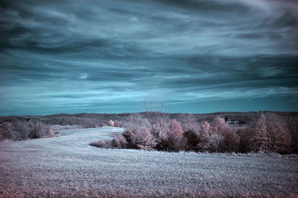
Farmland IR 11.12.2006

View of electrical lines crossing the MO River on MO-100 in Osage County from Callaway Nuclear Plant

'Home Stretch' ~ Rural Missouri

Horizon Burning

There are no great days left... just days

Road To The Sunset

Along The Missouri

Stray Landscape

Shrine of Our Lady of Sorrows, Starkenburg, MO

Shrine of Our Lady of Sorrows, Starkenburg, MO
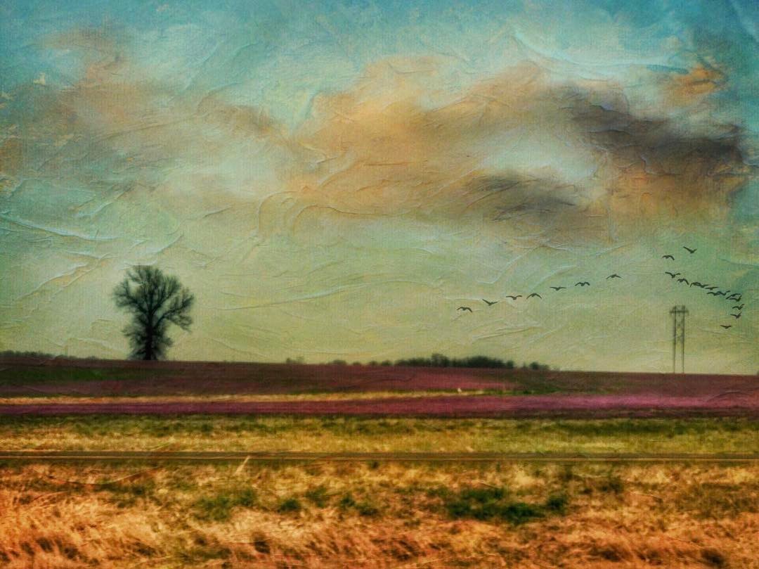
I saw the #purple and thought these were asparagus fields. Turns out they were little flowers everywhere, coming up in the #rows that the farmers tilled. #distressedfx #distressedfxv2 #Hipstafiend #painterly #landscape #CloudPorn #outmywindow #Neweramuseu

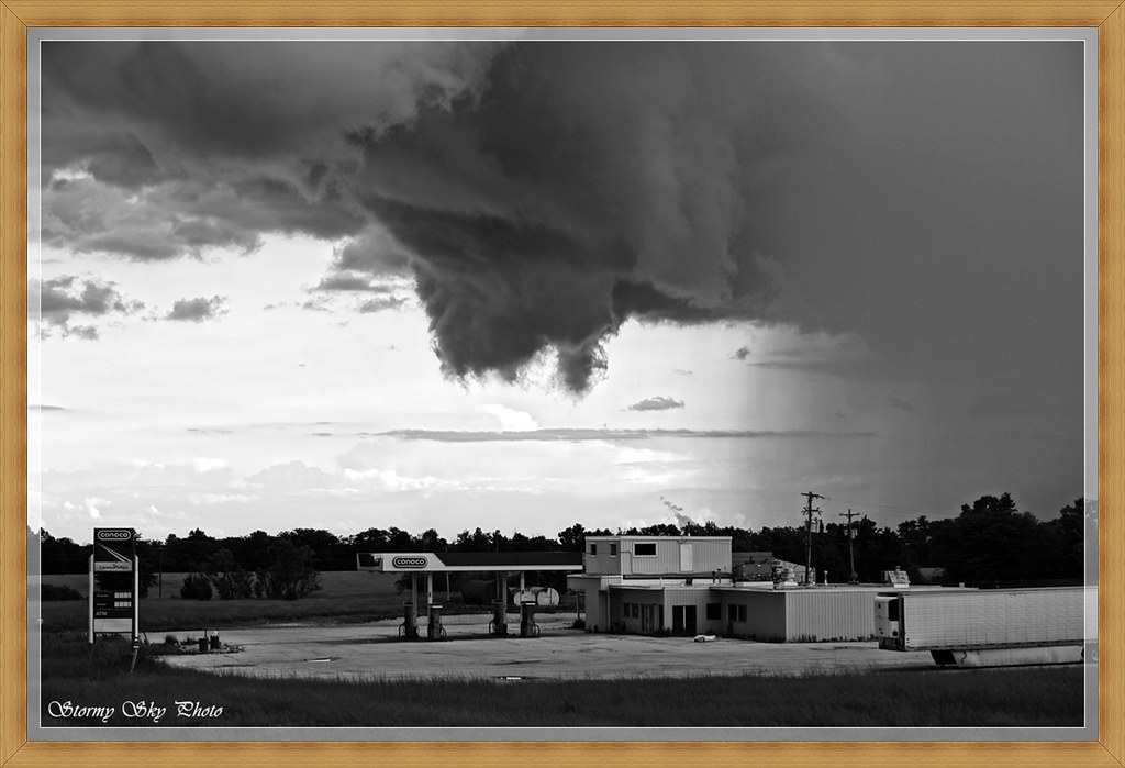
Out of Gas
The End

The Joshua Tree

Machine (2)

03152015 Infrared (2)
Topographic Map of Auxvasse Township, MO, USA
Find elevation by address:

Places in Auxvasse Township, MO, USA:
Places near Auxvasse Township, MO, USA:
N Cherry St, Chamois, MO, USA
206 Market St
206 Market St
Chamois
Bluffton
8282 Mo-89
County Rd, Fulton, MO, USA
Steedman
Morrison
Nine Mile Prairie Township
Benton Township
Williamsburg
Loutre Township
County Road 1033
St. Aubert Township
Mokane
East Fulton Township
East Fulton Township
East Fulton Township
East Fulton Township
Recent Searches:
- Elevation of Woodland Oak Pl, Thousand Oaks, CA, USA
- Elevation of Brownsdale Rd, Renfrew, PA, USA
- Elevation of Corcoran Ln, Suffolk, VA, USA
- Elevation of Mamala II, Sariaya, Quezon, Philippines
- Elevation of Sarangdanda, Nepal
- Elevation of 7 Waterfall Way, Tomball, TX, USA
- Elevation of SW 57th Ave, Portland, OR, USA
- Elevation of Crocker Dr, Vacaville, CA, USA
- Elevation of Pu Ngaol Community Meeting Hall, HWHM+3X7, Krong Saen Monourom, Cambodia
- Elevation of Royal Ontario Museum, Queens Park, Toronto, ON M5S 2C6, Canada