Elevation of Booneslick Rd, New Florence, MO, USA
Location: United States > Missouri > Montgomery County > Danville Township > New Florence >
Longitude: -91.449054
Latitude: 38.89818
Elevation: 264m / 866feet
Barometric Pressure: 98KPa
Elevation Map:
Satellite Map:
Related Photos:

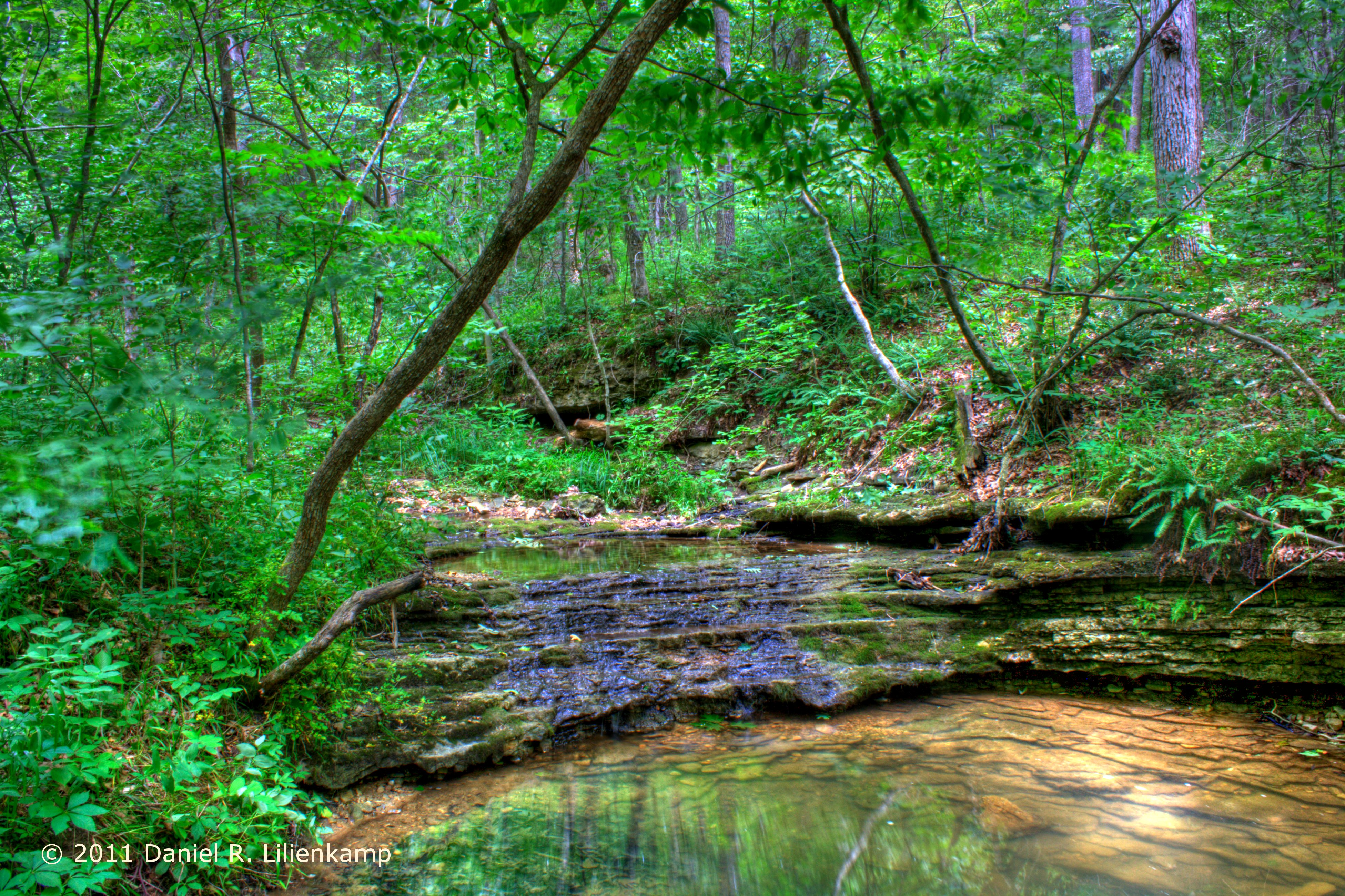
Mossy Bluff

'Home Stretch' ~ Rural Missouri

Fox on the Rocks

Swept Away

Field of Corn

Cinematic Skies
174/365 Waterfall

Evening Color

Scattered Showers

Amazing Missouri Sky

The Path Ahead

Above It All

Missouri Sunset IMG_5970
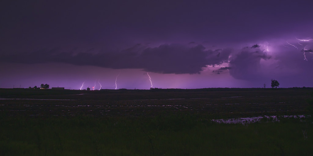
Electric Nights

Electric Traffic
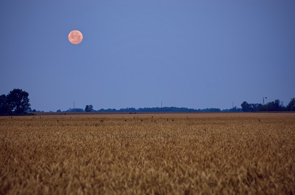
Supermoon Over Missouri

Soft Glow

A fun morning at Graham Cave State Park.

Autumn Trail

Field of Dreams

Road To The Sunset
Topographic Map of Booneslick Rd, New Florence, MO, USA
Find elevation by address:

Places near Booneslick Rd, New Florence, MO, USA:
New Florence
Montgomery County
Montgomery County
Danville
MO-, Montgomery City, MO, USA
Danville Township
Montgomery City
MO-19, New Florence, MO, USA
Montgomery Township
139 Porters Rd
Loutre Township
4 Schiller St
Rhineland
Hermann
County Road 1033
1116 Washington St
1116 Washington St
1164 Lovers Ln
Roark Township
Williamsburg
Recent Searches:
- Elevation of Placer Mine Ln, West Jordan, UT, USA
- Elevation of E 63rd St, New York, NY, USA
- Elevation of Elk City, OK, USA
- Elevation of Erika Dr, Windsor, CA, USA
- Elevation of Village Ln, Finleyville, PA, USA
- Elevation of 24 Oakland Rd #, Scotland, ON N0E 1R0, Canada
- Elevation of Deep Gap Farm Rd E, Mill Spring, NC, USA
- Elevation of Dog Leg Dr, Minden, NV, USA
- Elevation of Dog Leg Dr, Minden, NV, USA
- Elevation of Kambingan Sa Pansol Atbp., Purok 7 Pansol, Candaba, Pampanga, Philippines