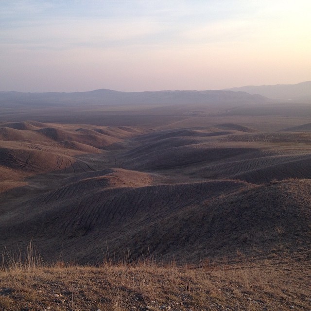
Elevation map of Dagestan Republic, Russia
Location: Russia >
Longitude: 47.0949799
Latitude: 42.1431886
Elevation: 1694m / 5558feet
Barometric Pressure: 83KPa
Elevation Map:
Satellite Map:
Related Photos:

BOMBER TWEETS AND VIDEO SELECTIONS..........UPDATES

Kathia Buniatishvili - J.S.Bach - Cantata BWV 208 - Schafe können sicher weiden

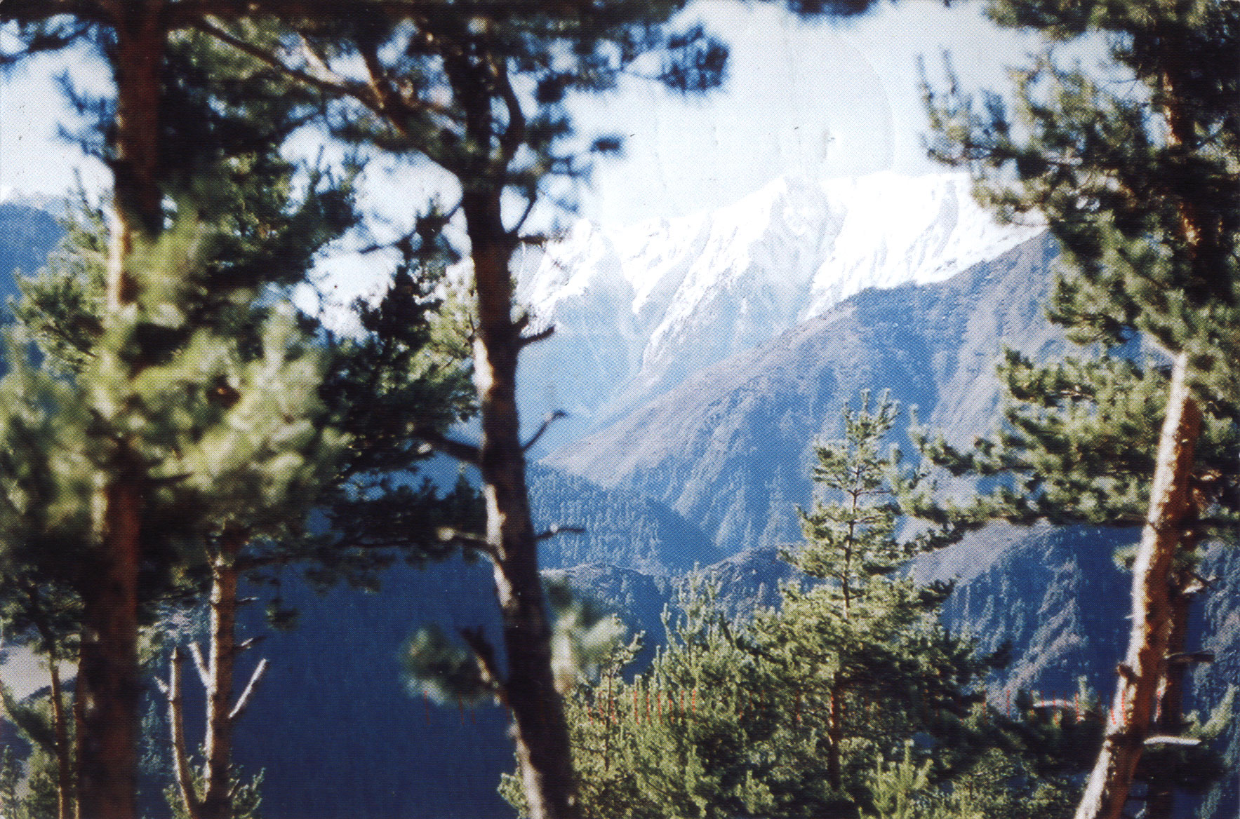
View of the Butnushuer Mt, Archinskiye Mountains, Republic of Dagestan, Russia
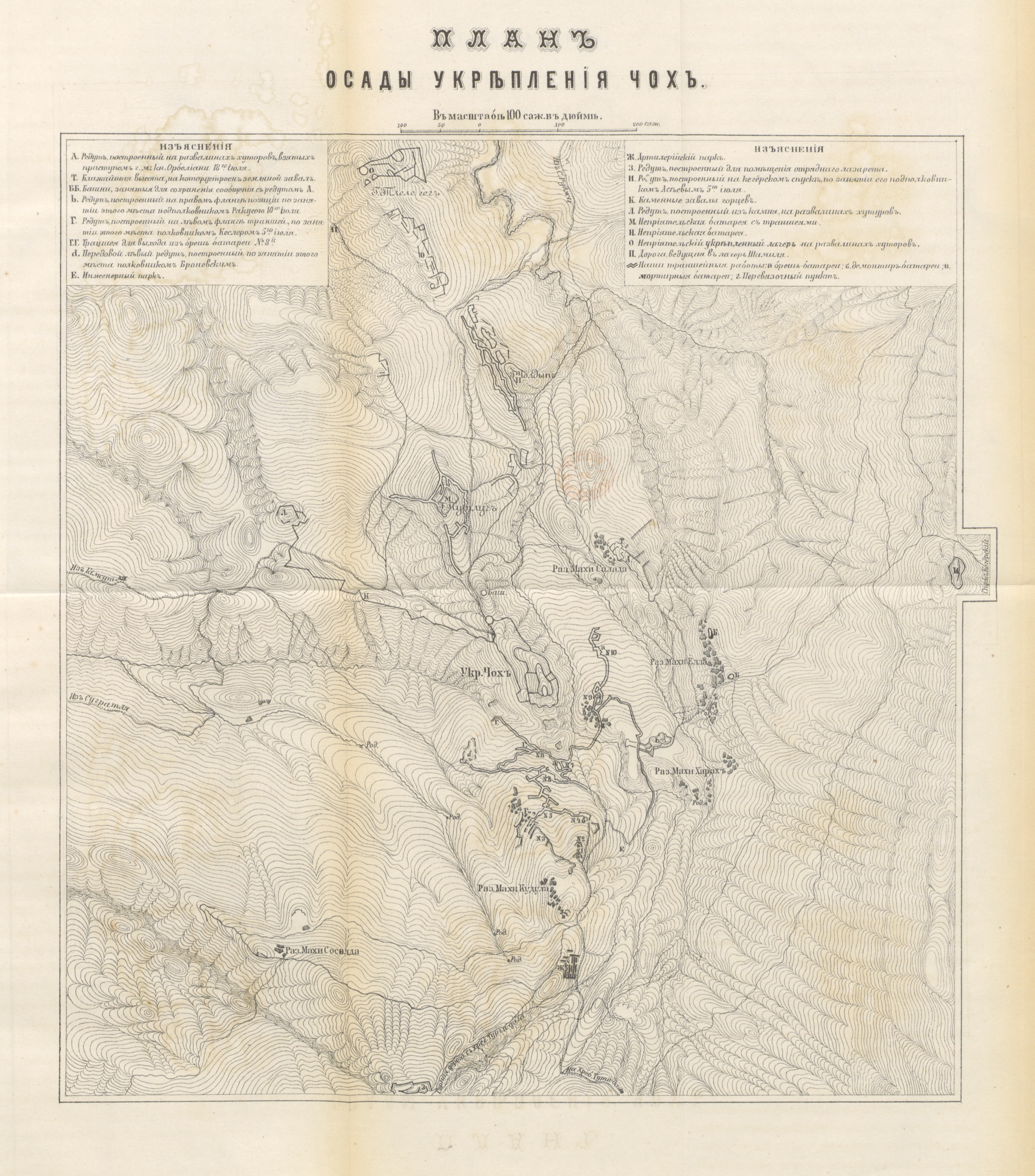
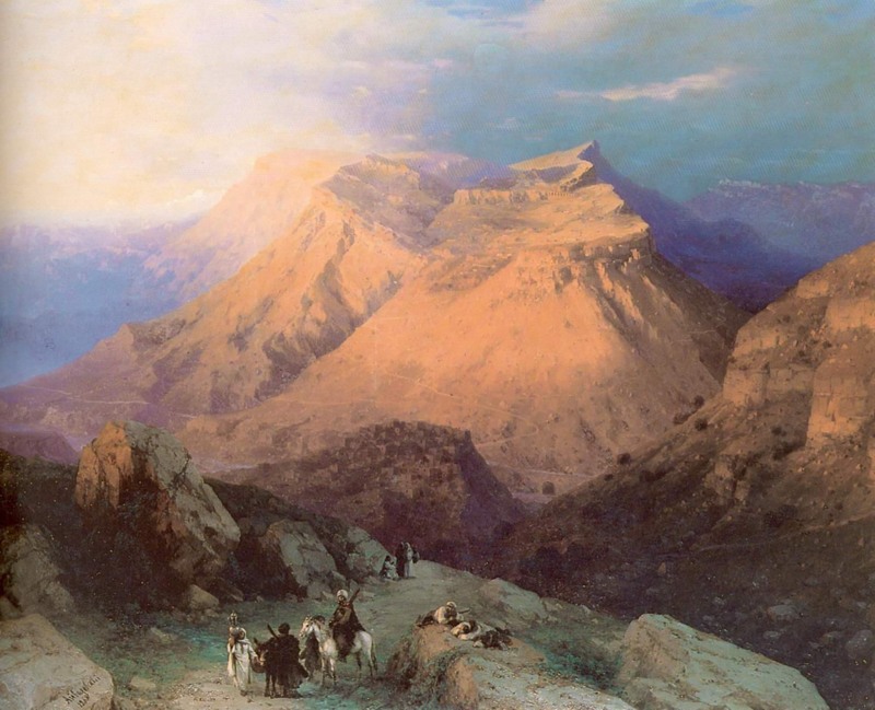
Image taken from page 1007 of 'Кавказскій Сборникъ, издаваемый по указанію ... главнокомандующаго Кавказскою Арміею. (Подъ редакціею ... Полковника Чернявскаго-генералъ-лейтенанта Потто.) том. 1.-том. 32. част. 1'
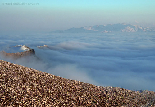
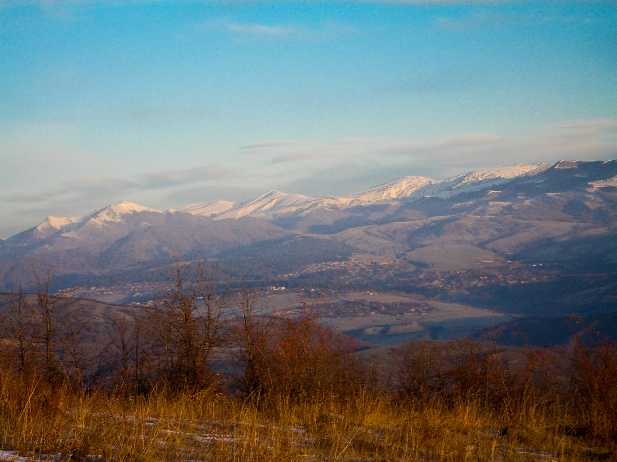
View of the Sozol Mt (3459 m), Republic Dagestan, Russia

dagestan, Derbent

High above the Caucasus - enroute TBS to GYD with Qatar Airways
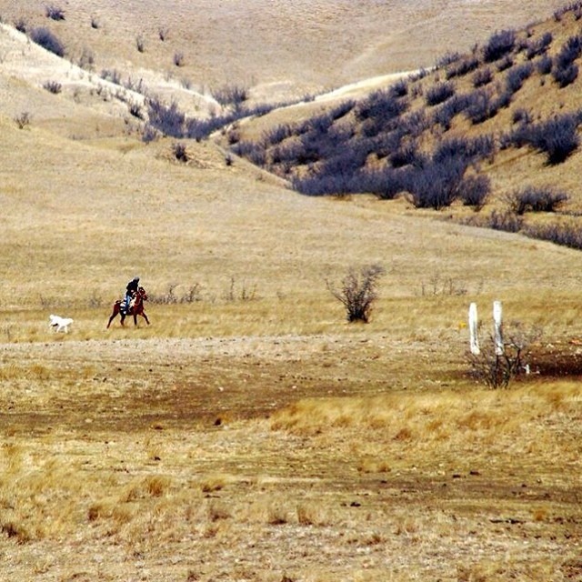
#rider #horse #dog #man #georgia #caucasus #freedom
Сhindirchero, Daghestan

#ВидИзОкна
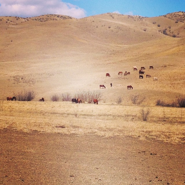
#horses
MKirby-2006-Nov-24-1110.jpg
Mountain Village Gunib
Горы

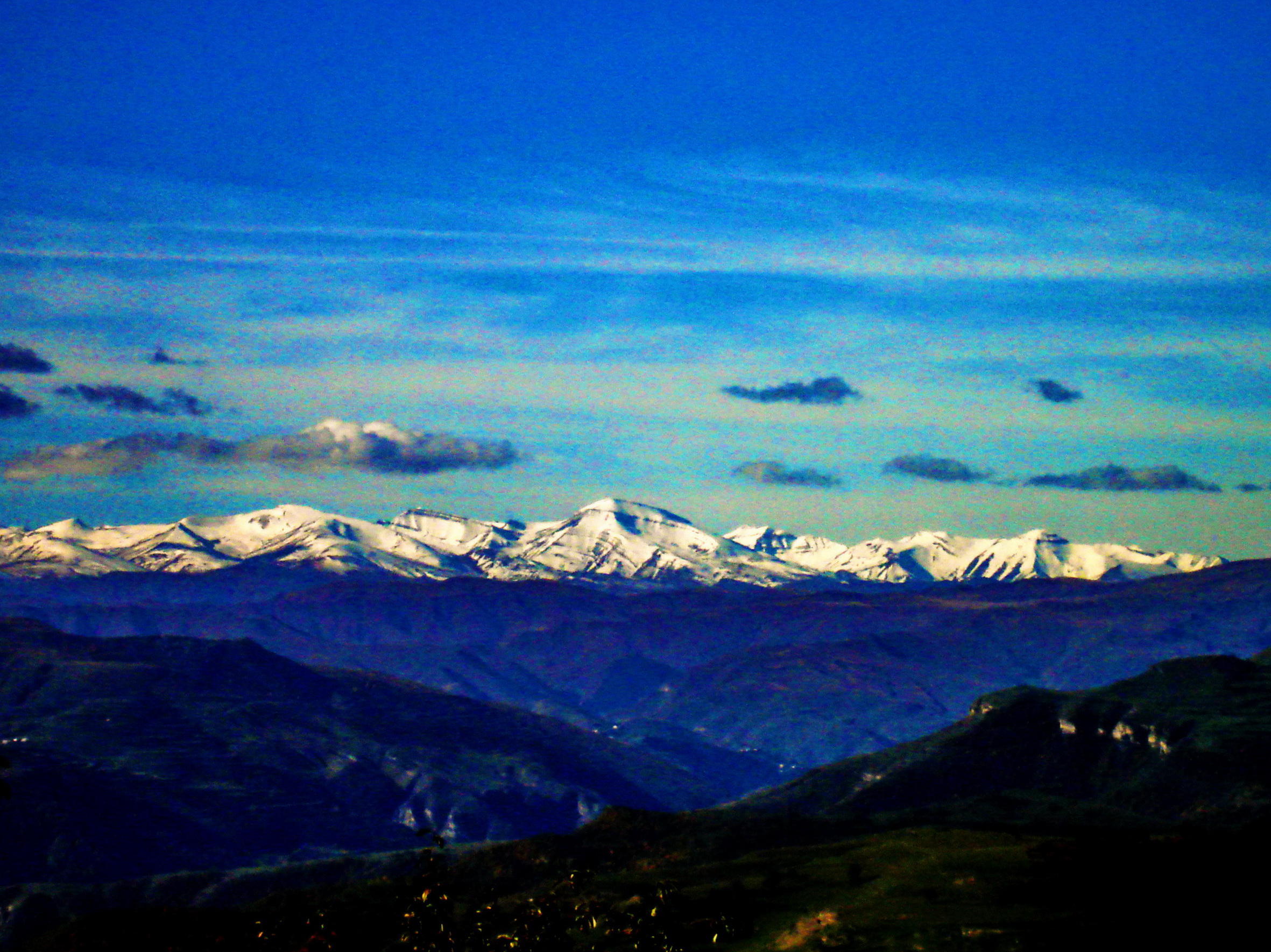
Bazarduzu Dagi, Aserbajan

Chindirchero, Daghestan.

PA285837.jpg

#Закат
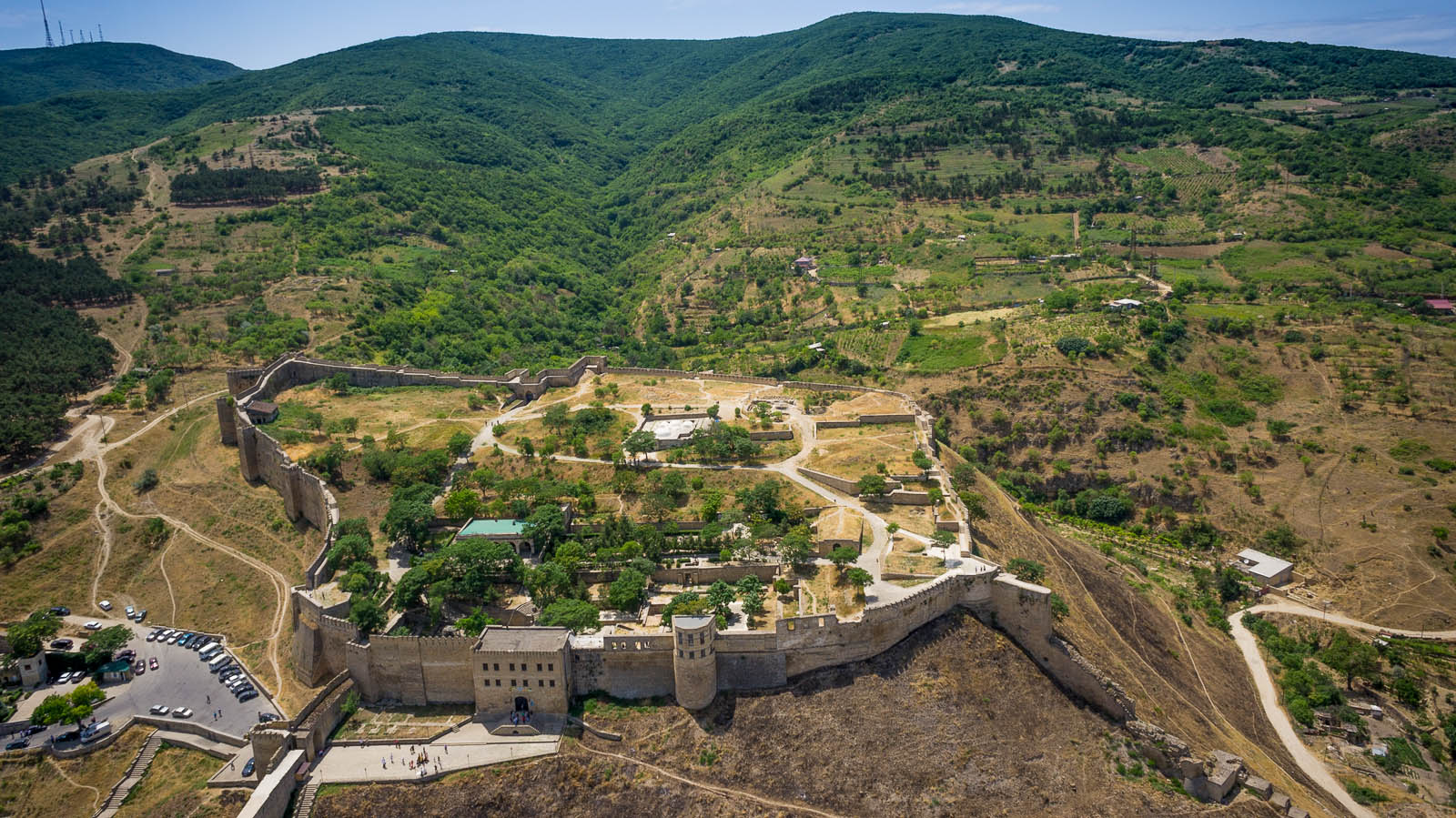
The Naryn-Kala fortress in Derbent, Dagestan (Ressia)
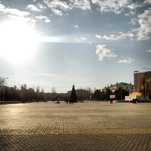
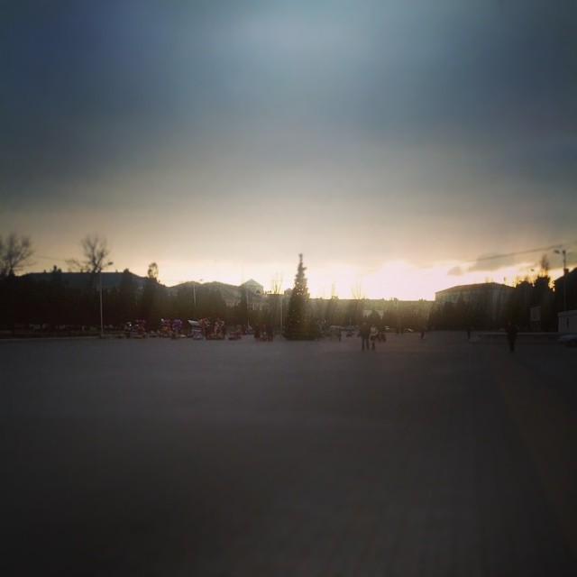
Прогулка по #Каспийск'у
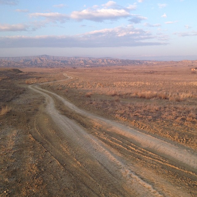
road to nowhere
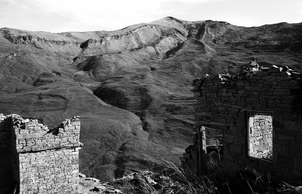
Uri, Dagestan

Люблю этот парк
Shiraki #georgia
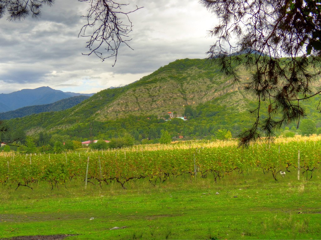
Wine road
Исход..
Topographic Map of Dagestan Republic, Russia
Find elevation by address:

Places in Dagestan Republic, Russia:
Gora Dyultydag
Derbent
Makhachkala
Tsumadinsky District
Kirovaul
Unnamed Road
Botlikhsky District
Gumbetovsky District
Tlyaratinsky District
Tsuntinsky District
Kizilyurtovsky District
Gunibsky District
Shamilsky District
Places near Dagestan Republic, Russia:
Recent Searches:
- Elevation of Corso Fratelli Cairoli, 35, Macerata MC, Italy
- Elevation of Tallevast Rd, Sarasota, FL, USA
- Elevation of 4th St E, Sonoma, CA, USA
- Elevation of Black Hollow Rd, Pennsdale, PA, USA
- Elevation of Oakland Ave, Williamsport, PA, USA
- Elevation of Pedrógão Grande, Portugal
- Elevation of Klee Dr, Martinsburg, WV, USA
- Elevation of Via Roma, Pieranica CR, Italy
- Elevation of Tavkvetili Mountain, Georgia
- Elevation of Hartfords Bluff Cir, Mt Pleasant, SC, USA