Elevation of Makhachkala, Dagestan Republic, Russia
Location: Russia > Dagestan Republic >
Longitude: 47.5126285
Latitude: 42.9666308
Elevation: 0m / 0feet
Barometric Pressure: 101KPa
Elevation Map:
Satellite Map:
Related Photos:

#ВидИзОкна

Люблю этот парк
Прогулка по #Каспийск'у

#Закат
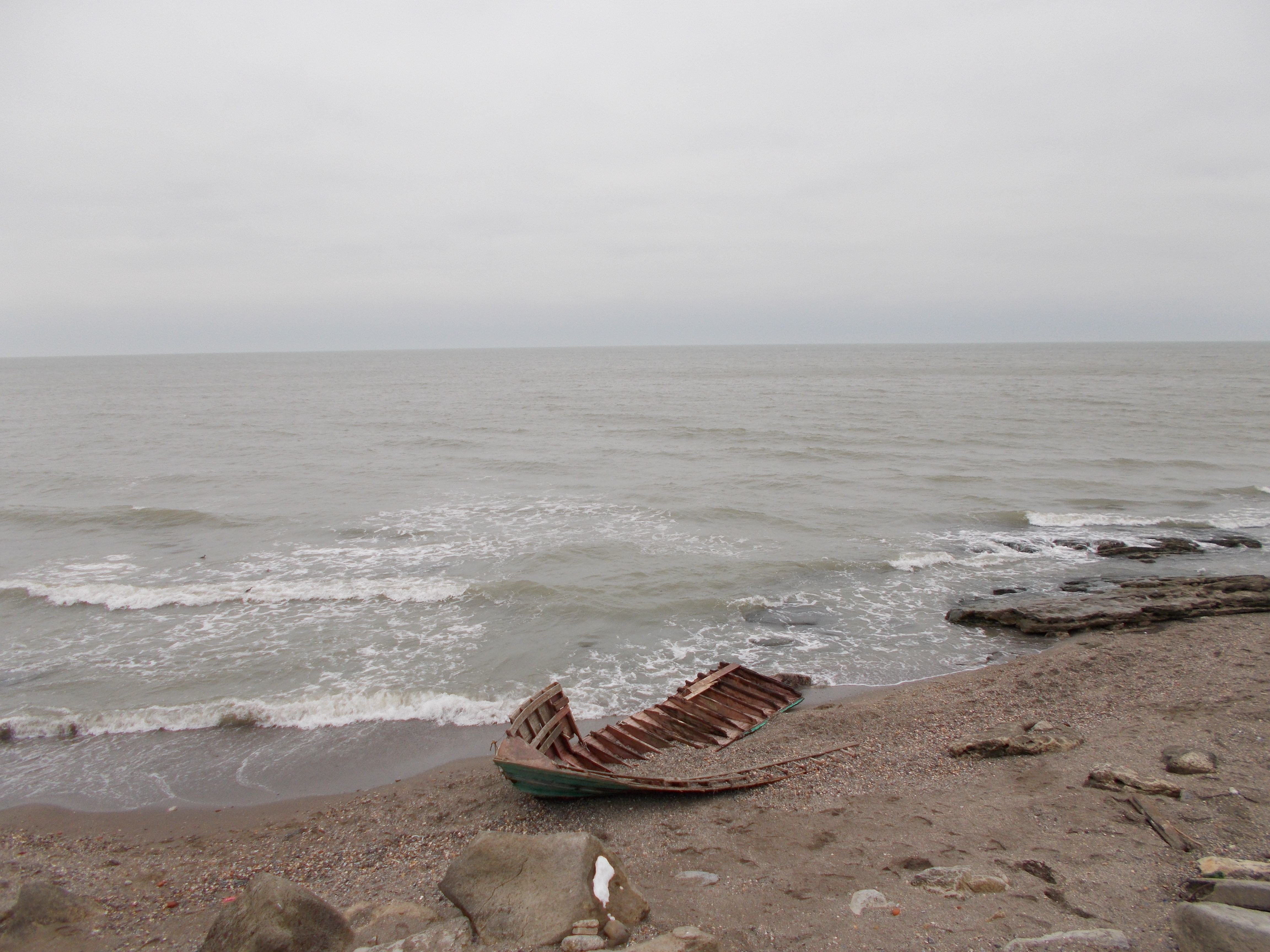
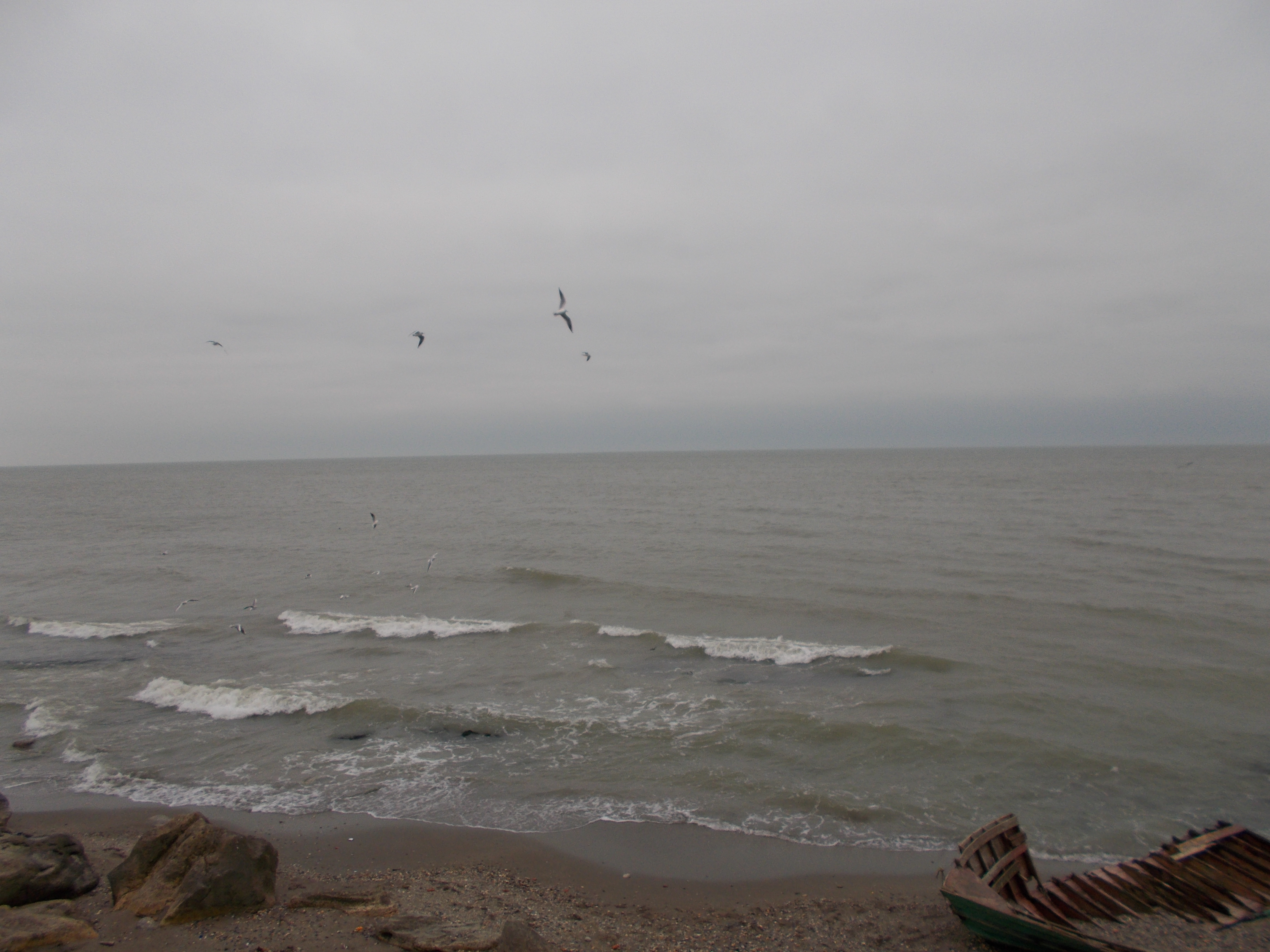
Исход..
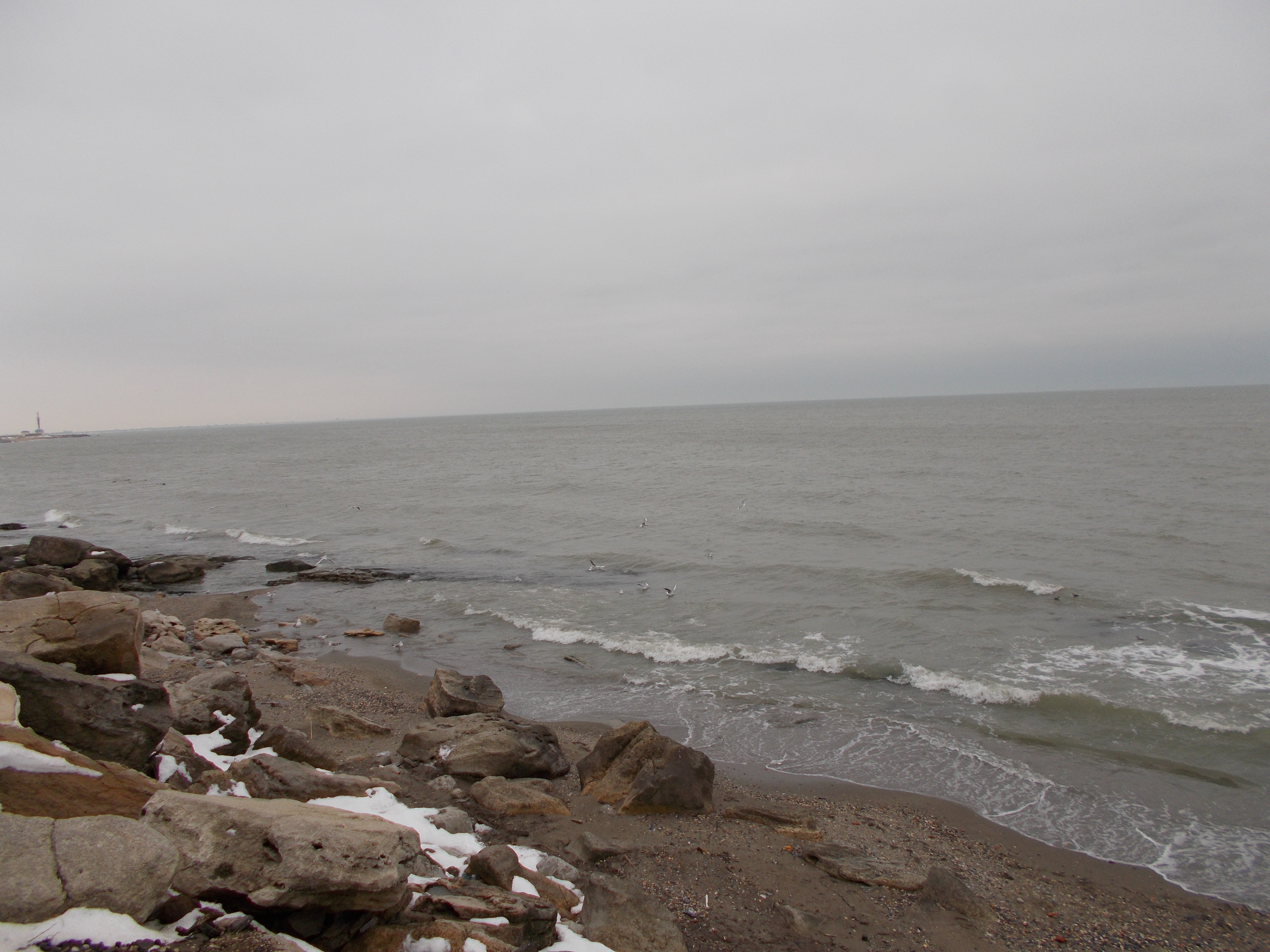
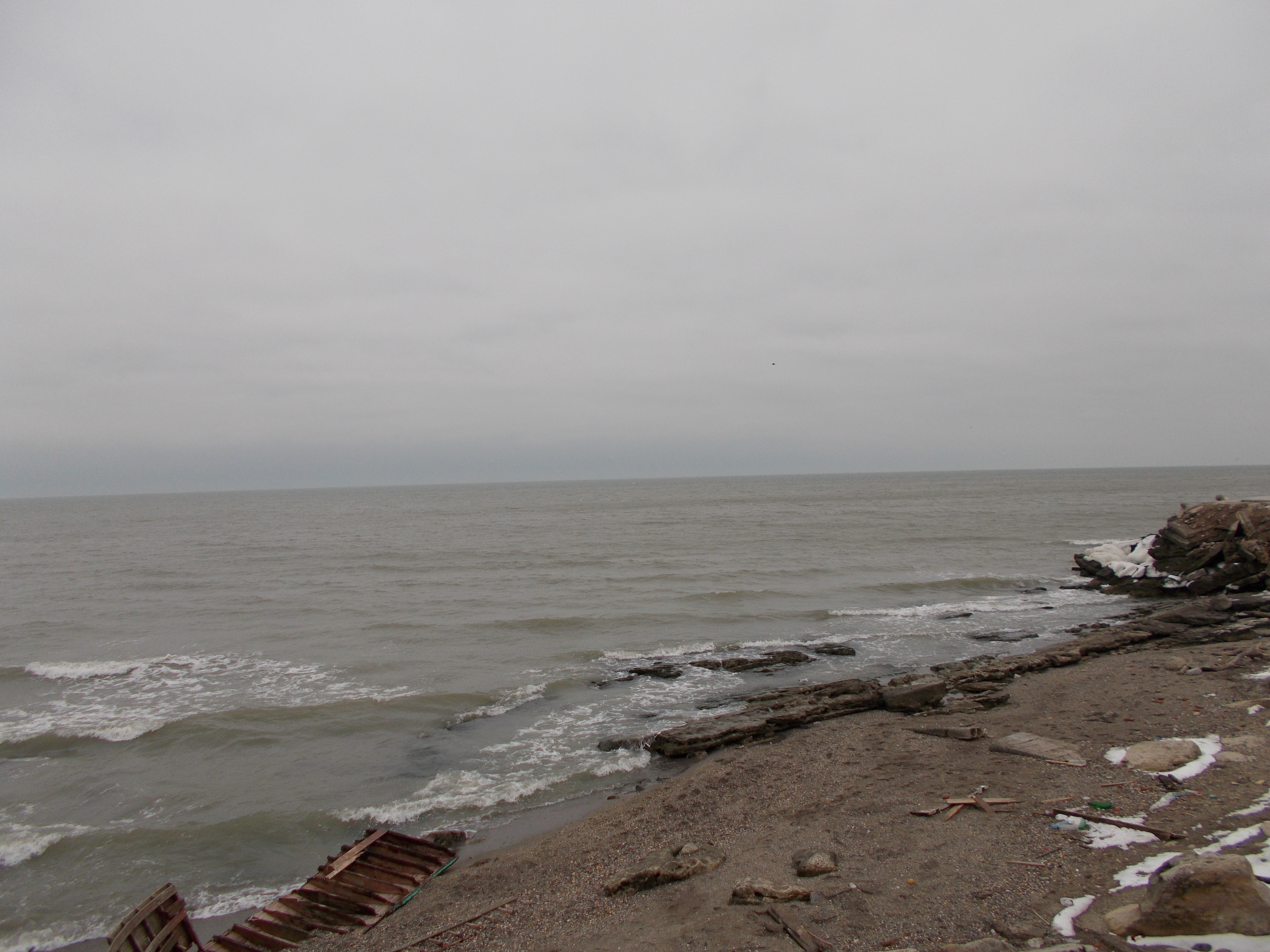
В Махачкале штормит
Magic color
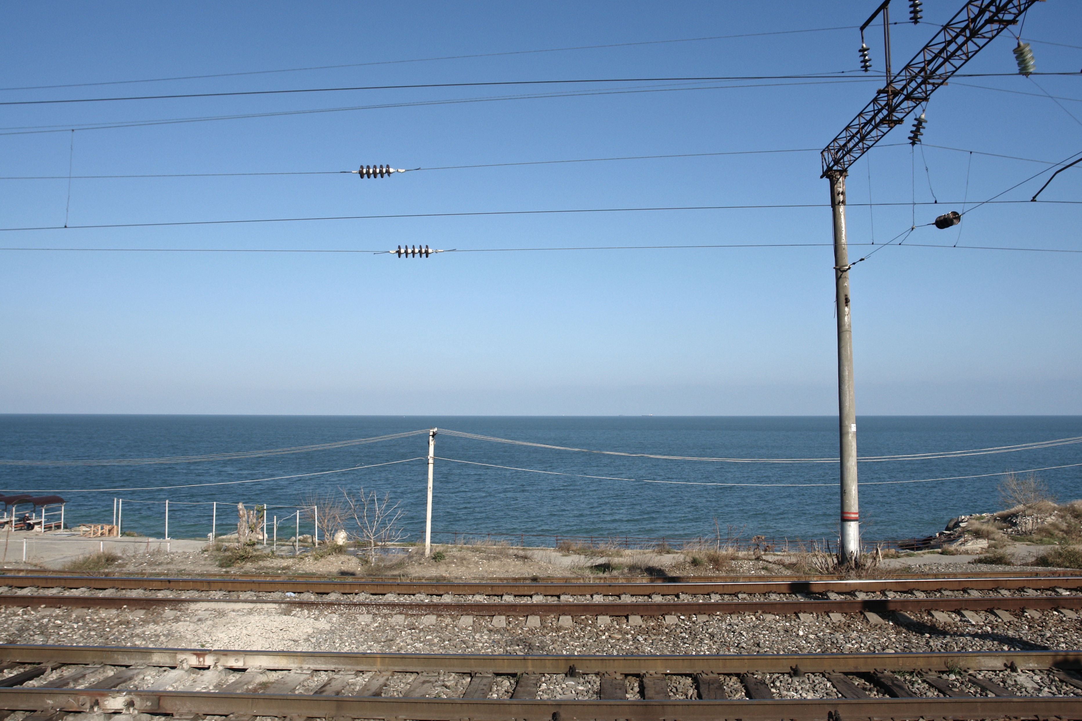
Makhachkala Waterfront I
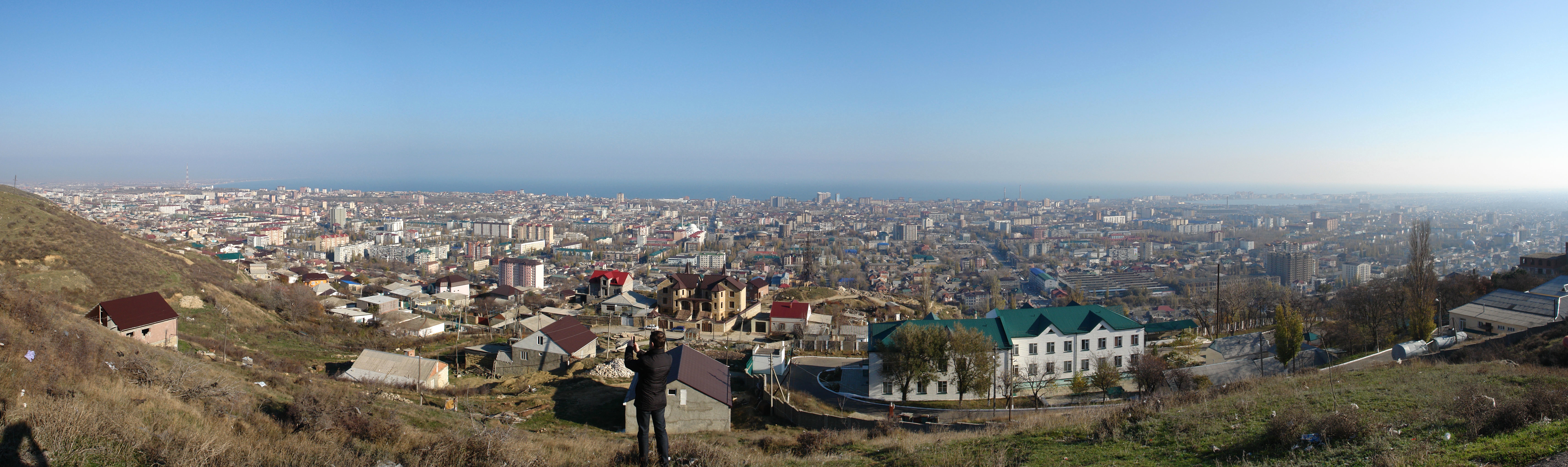
Makhachkala & the Caspian Sea Panorama

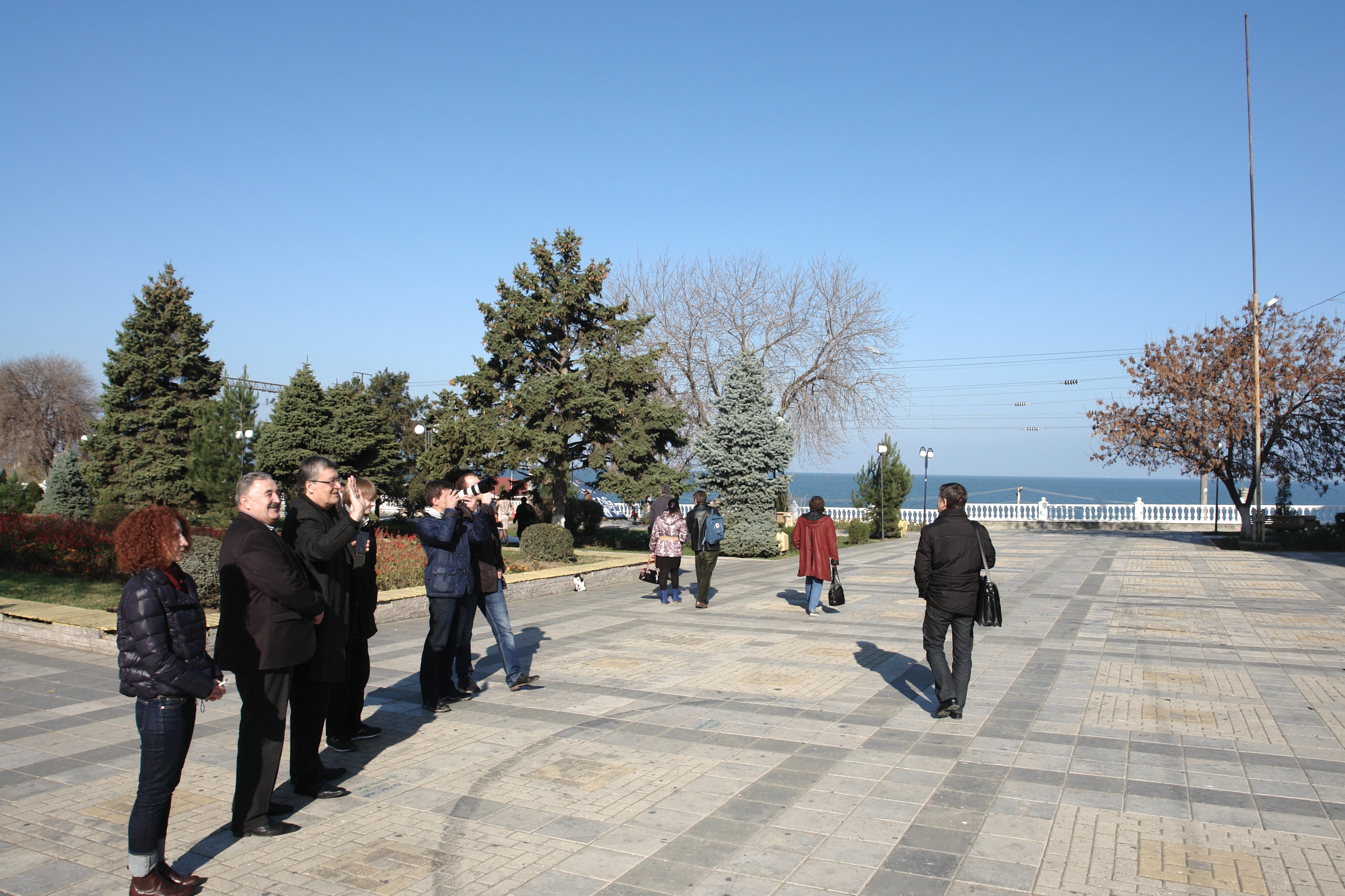
Wedding in the Park
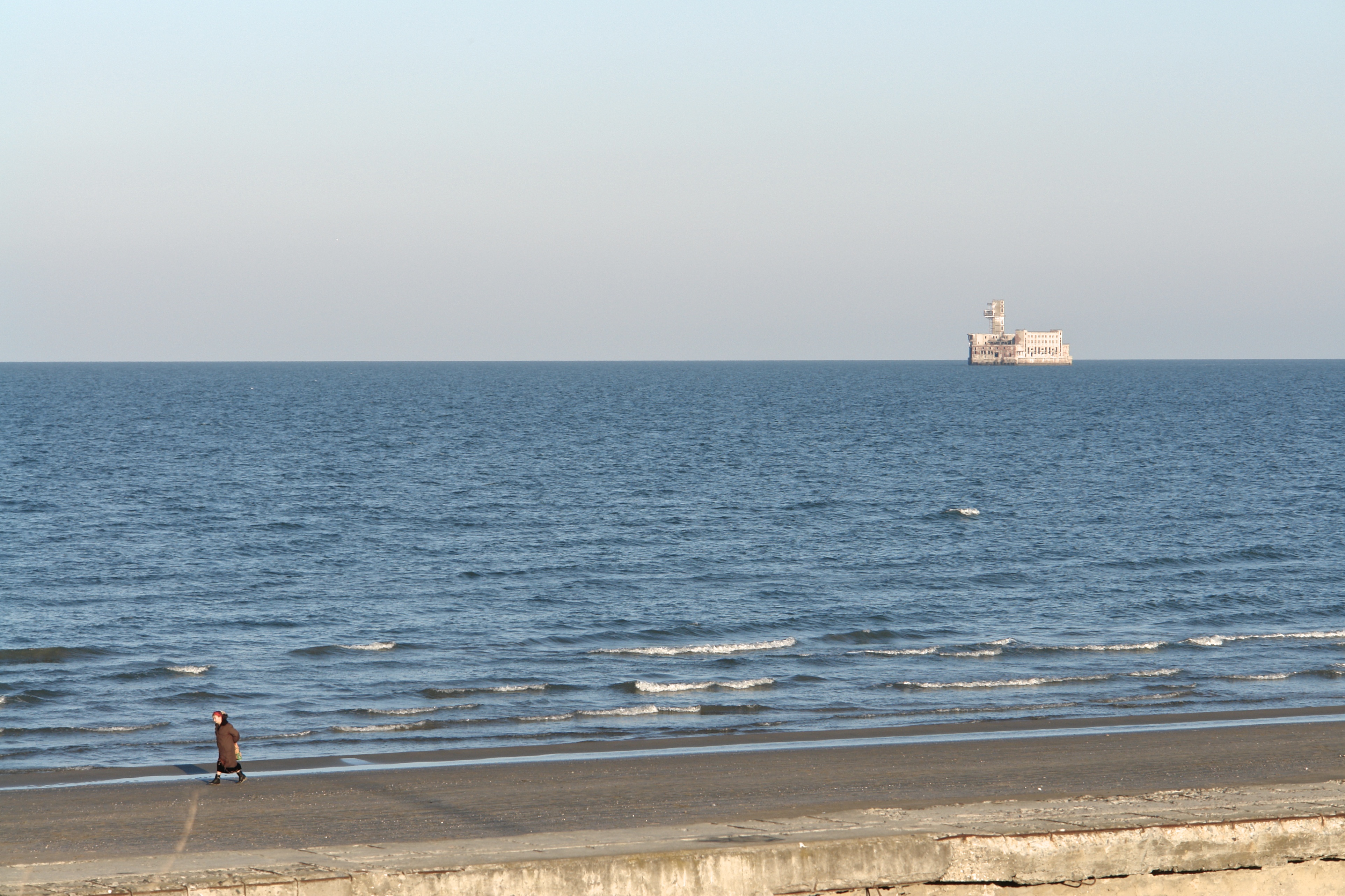
Beach Walk & Fortress
Waterfront Park
#VSCOcam #sea #seaside #landscape
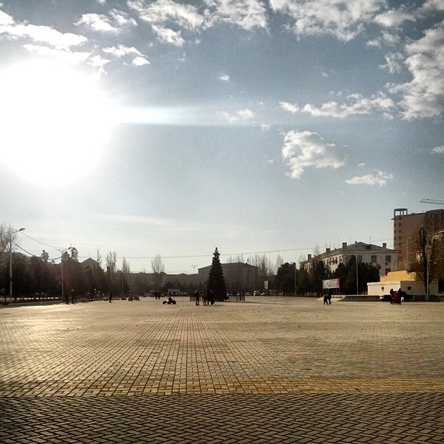
Махачкала
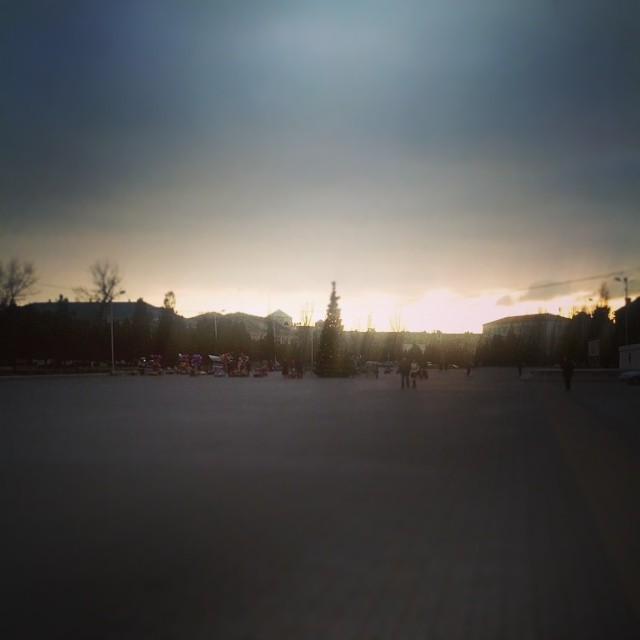
Махачкала
Махачкала
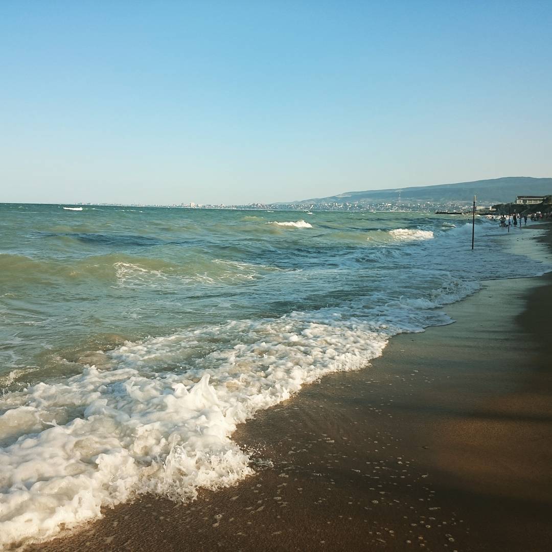
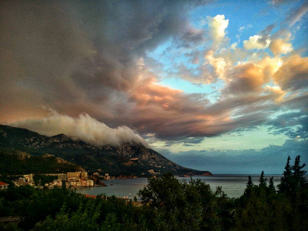
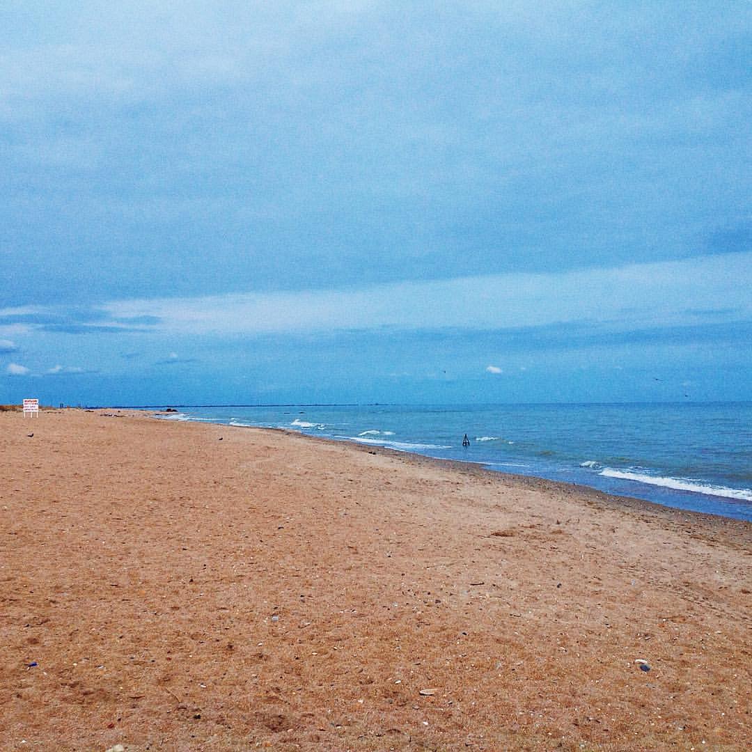
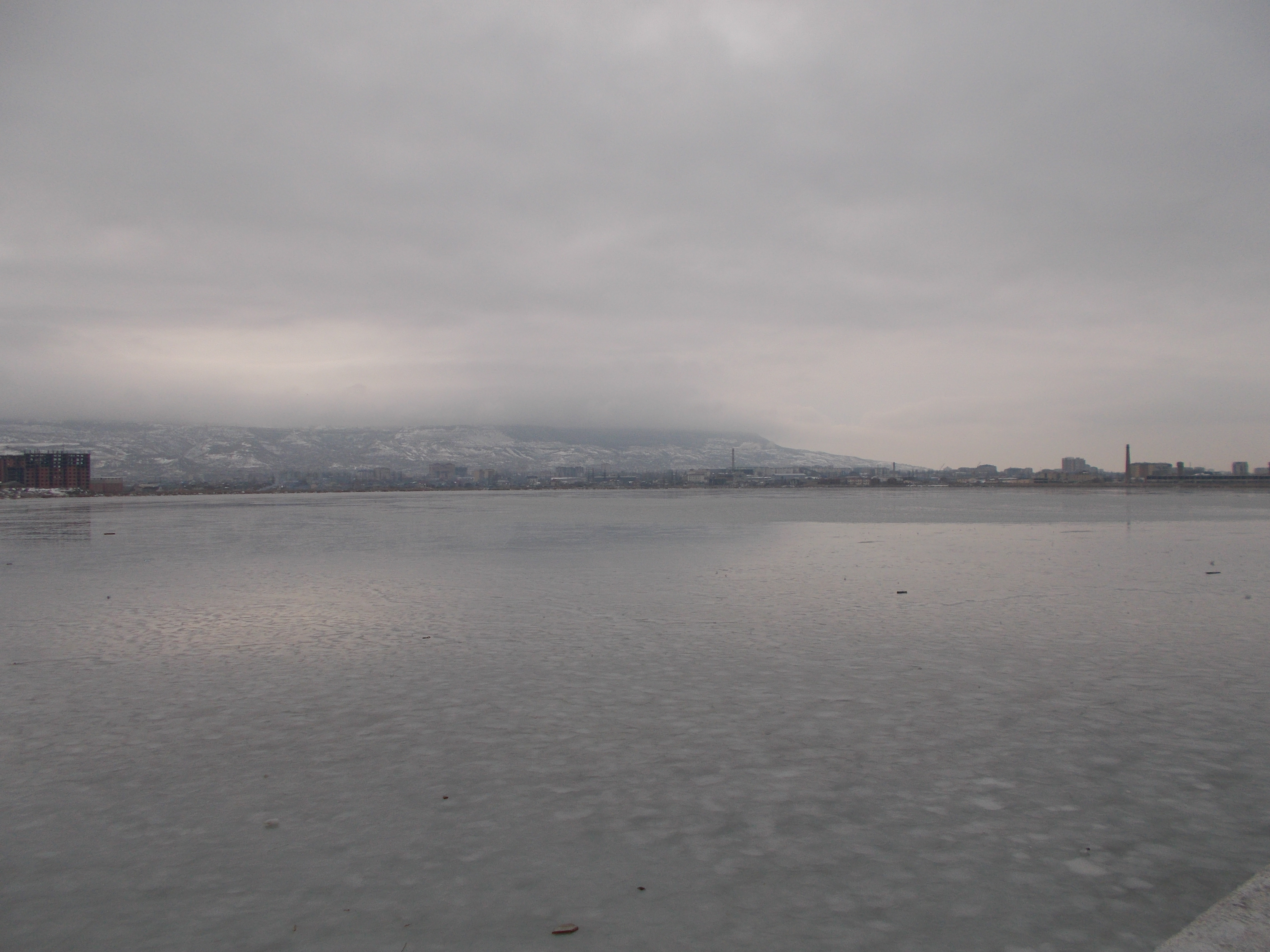
Каспийское море
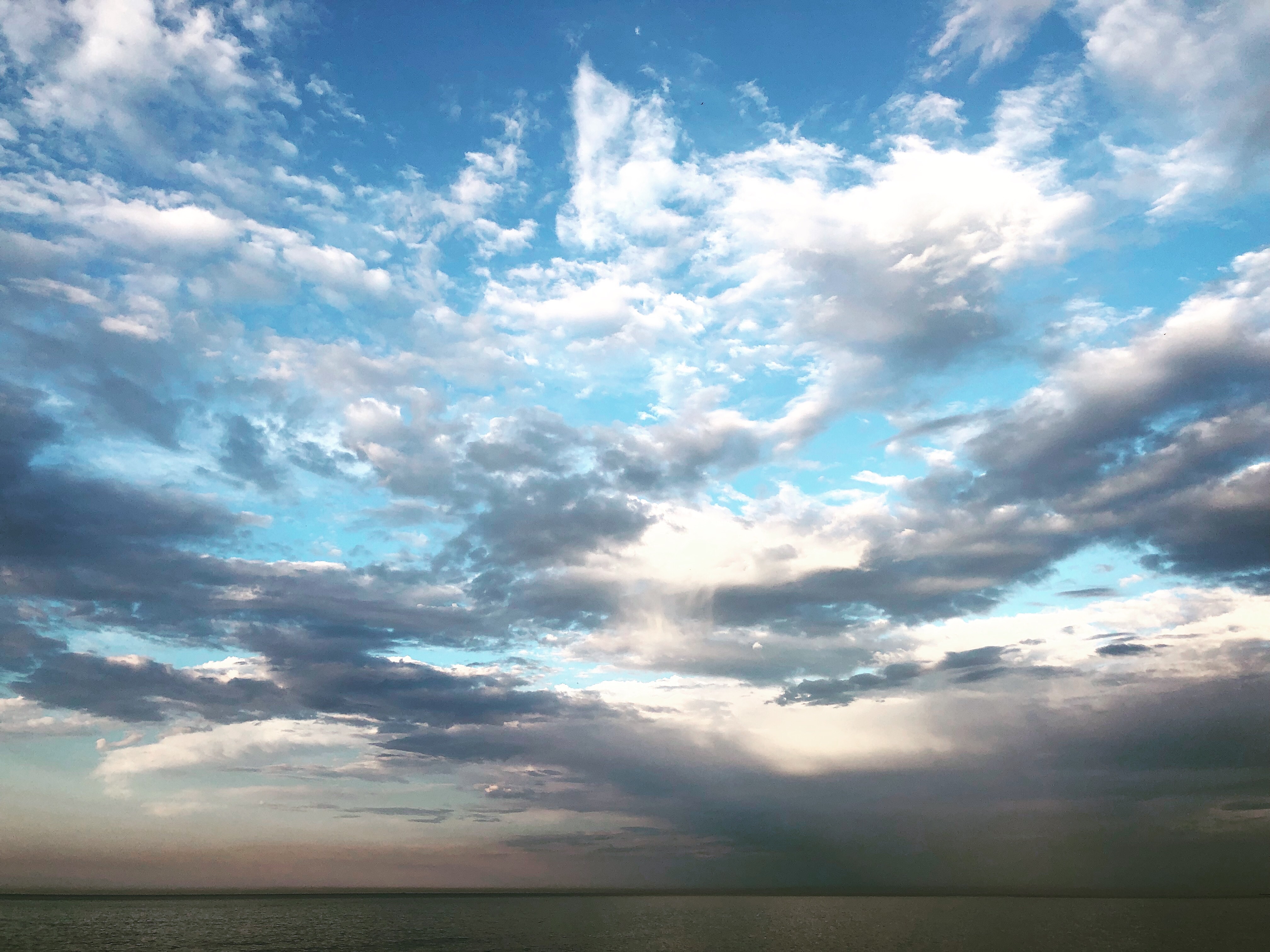
Махачкала
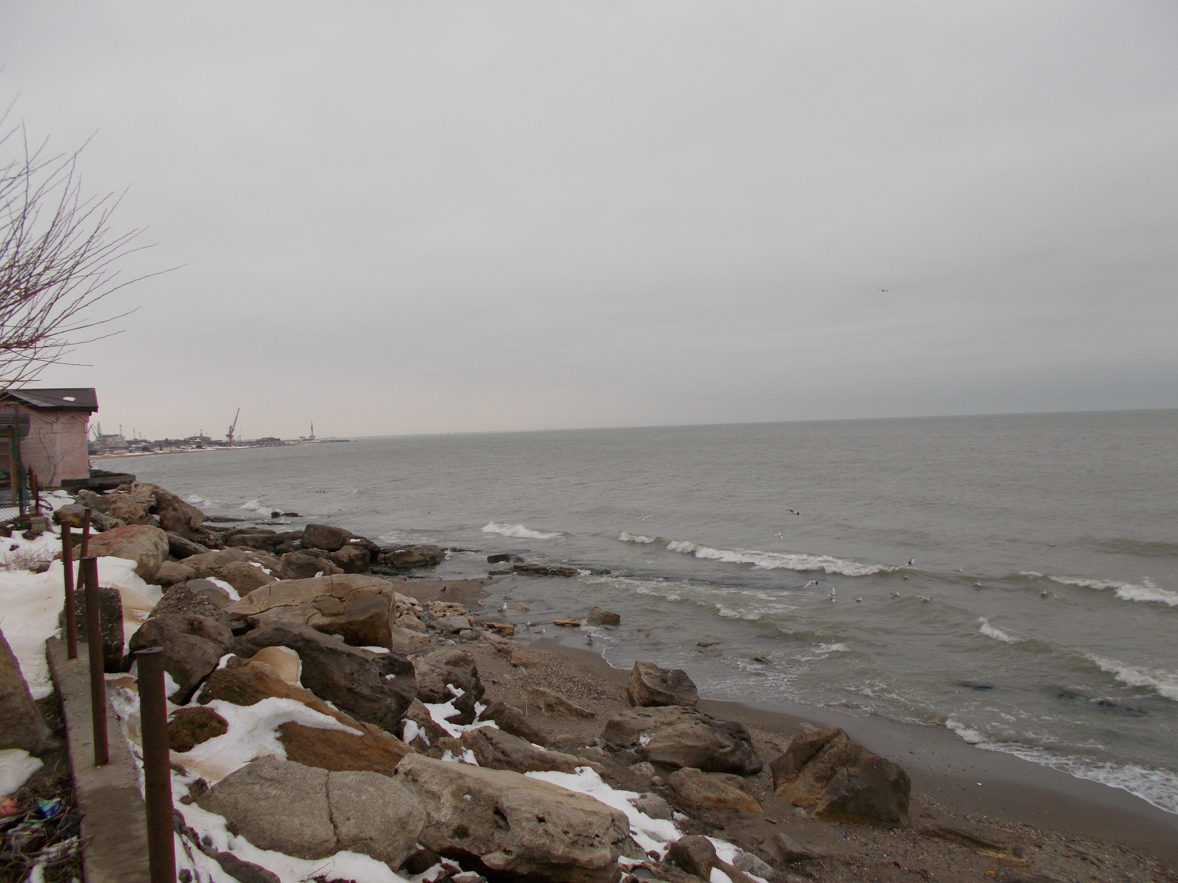
Махачкала
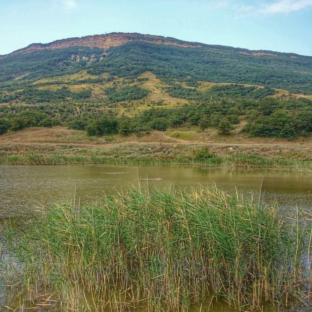
Агач-аульское озеро
Махачкала
Topographic Map of Makhachkala, Dagestan Republic, Russia
Find elevation by address:

Places near Makhachkala, Dagestan Republic, Russia:
Kizilyurtovsky District
Kirovaul
Aknada
Gunibsky District
Gadari
Akhnada
Gumbetovsky District
Shamilsky District
Khonokh
Recent Searches:
- Elevation of Shibuya Scramble Crossing, 21 Udagawacho, Shibuya City, Tokyo -, Japan
- Elevation of Jadagoniai, Kaunas District Municipality, Lithuania
- Elevation of Pagonija rock, Kranto 7-oji g. 8"N, Kaunas, Lithuania
- Elevation of Co Rd 87, Jamestown, CO, USA
- Elevation of Tenjo, Cundinamarca, Colombia
- Elevation of Côte-des-Neiges, Montreal, QC H4A 3J6, Canada
- Elevation of Bobcat Dr, Helena, MT, USA
- Elevation of Zu den Ihlowbergen, Althüttendorf, Germany
- Elevation of Badaber, Peshawar, Khyber Pakhtunkhwa, Pakistan
- Elevation of SE Heron Loop, Lincoln City, OR, USA