Elevation of Zagatala, Azerbaijan

Location: Azerbaijan >

Longitude: 46.7240373

Latitude: 41.5906889

Elevation: 778m / 2552feet

Barometric Pressure: 92KPa

Elevation Map:

elevation map of Zagatala, Azerbaijan

Satellite Map:

Satellite map of Zagatala, Azerbaijan

Related Photos:

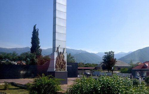
Caucasus mountains in Azerbaijan
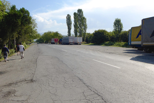
Gravel road to Qax
Lekit 35
qakh azerbaijan panoramio2240502105022806
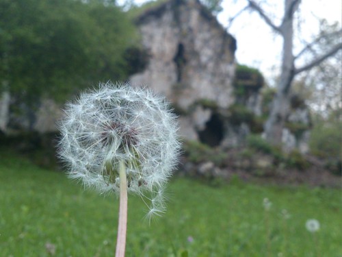
_Seven Churches_ compex - Inner yard_
kötüklü zaqatala aserbaidschan overlanding overland silkroad vwlt vw vw4x4 vwbully vwbus vanlife travel vwlt4x4 reisen roadtrip offroad allradwohnmobil campervan camperliving camping homeiswhereiparkit
local shepherd visited us
Lekit 29
qakh azerbaijan panoramio2240502105022688
_Seven Churches_ compex. VI - VII century_
Lekit 230
Déjeuner maison en compagnie de Roma, le roi de kebab
The forecourt of Australia Square in Sydney
azerbaijan caucasus transcaucasus 高加索 阿塞拜疆
L1030214 (1)
azerbaijan caucasus transcaucasus 高加索 阿塞拜疆
L1030212 (1)
azerbaijan caucasus transcaucasus 阿塞拜疆 高家索
L1030208 (1)
azerbaijan caucasus transcaucasus 阿塞拜疆 高家索
L1030209 (1)
azerbaijan caucasus transcaucasus 阿塞拜疆 高家索
L1030210 (1)
valencia square squareformat iphoneography instagramapp uploaded:by=instagram
#georgia #horse
azerbaijan zaqatala
La vaste plaine où les moutons cottoient les noisettiers...
square sierra squareformat iphoneography instagramapp uploaded:by=instagram foursquare:venue=516037aee4b020ec519b1d7b
W/ Nicat ;)
valencia square squareformat iphoneography instagramapp uploaded:by=instagram foursquare:venue=516037aee4b020ec519b1d7b
Meşleş #aztagram
square willow squareformat iphoneography instagramapp uploaded:by=instagram foursquare:venue=50350341e4b02dc80009a993
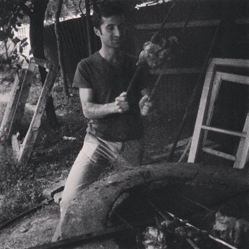
Tendirde toyuq kababi ;) #aztagram
square squareformat rise iphoneography instagramapp uploaded:by=instagram foursquare:venue=4e9e886e5c5c9252b6311915
Kisi bala