Elevation of Cupsuptic Campground, Rangeley, ME, United States
Location: United States > Maine > Rangeley >
Longitude: -70.832291
Latitude: 45.0114416
Elevation: 519m / 1703feet
Barometric Pressure: 95KPa
Elevation Map:
Satellite Map:
Related Photos:
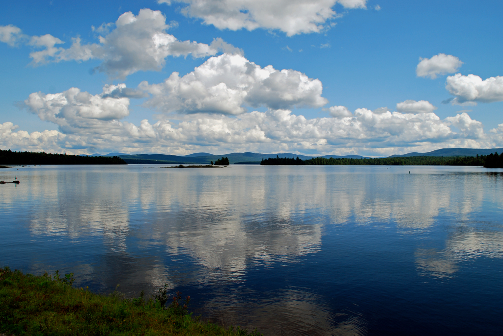
Mooselookmeguntic Lake, Maine
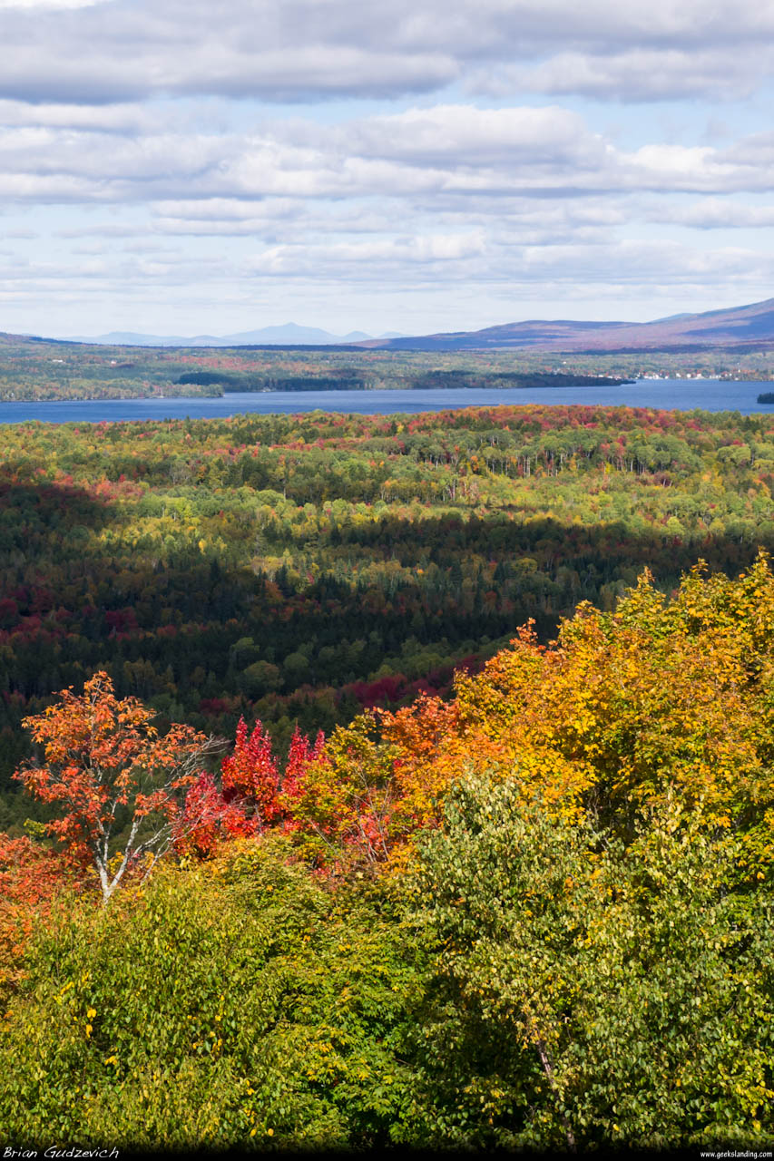
Colors Around Rangeley
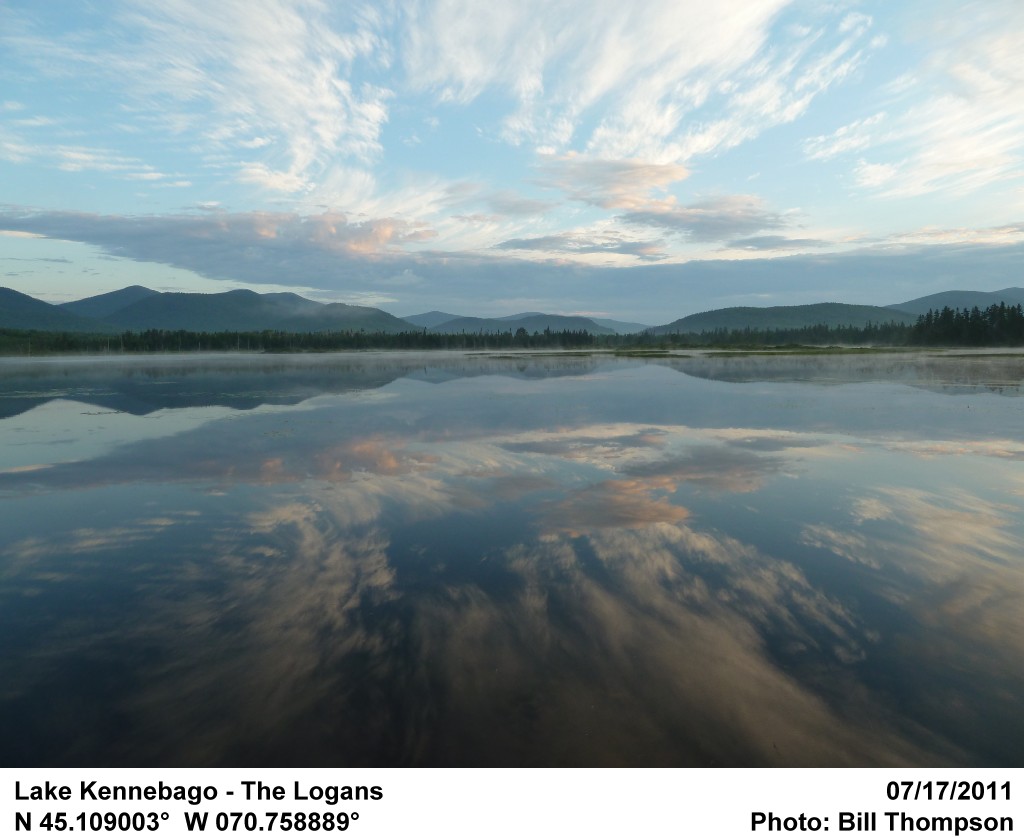
Lake Kennebago - The Logans
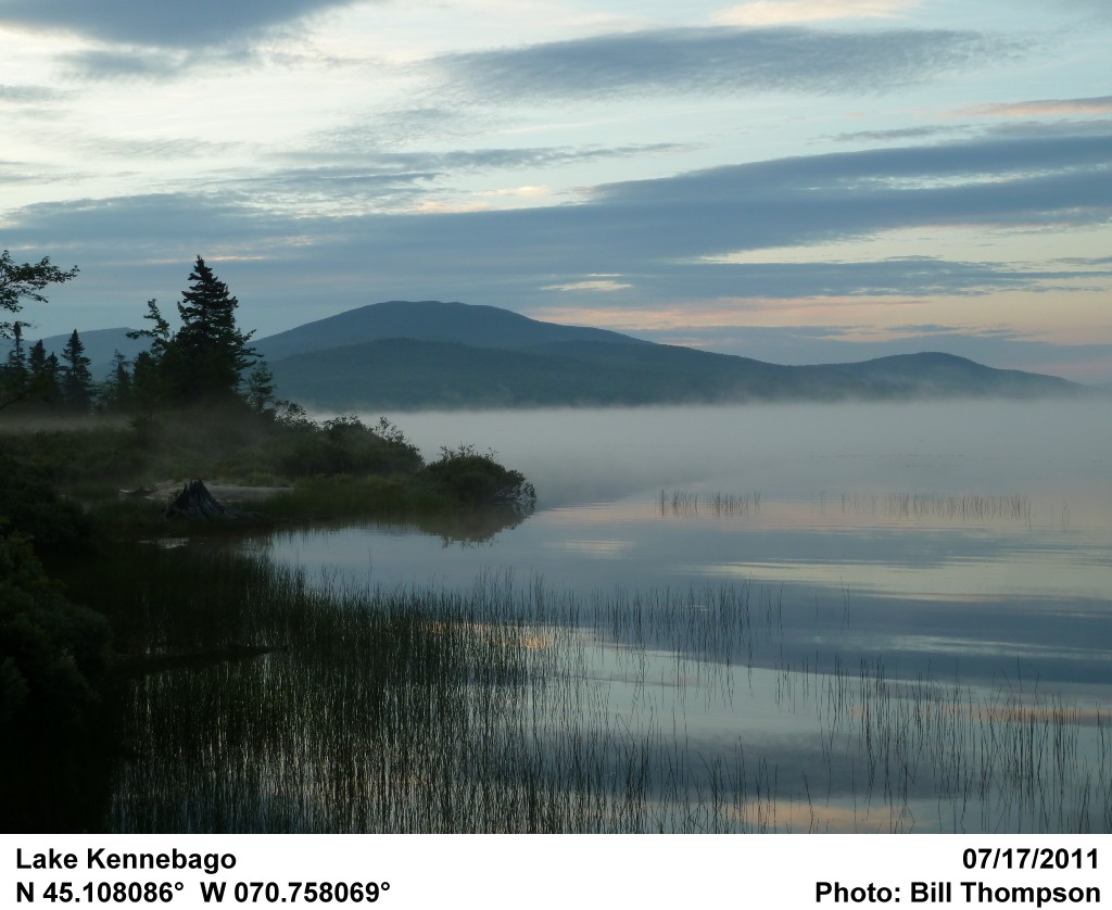
Lake Kennebago
Topographic Map of Cupsuptic Campground, Rangeley, ME, United States
Find elevation by address:

Places near Cupsuptic Campground, Rangeley, ME, United States:
Pleasant Island Road
Bosebuck Mountain Camps
Lower Black Pond
Upper Black Pond
Abbie Pond
Saint-augustin-de-woburn
75 Chemin Du 39
75 Chemin Du 39
75 Chemin Du 39
73 Eustis Pkwy
Notre-dame-des-bois
Eustis
Chemin Nancy
Stratton
36 Holly Ln
36 Holly Ln
First Connecticut Lake
Franklin County
Mount Redington
Crocker Mountain
Recent Searches:
- Elevation of Corso Fratelli Cairoli, 35, Macerata MC, Italy
- Elevation of Tallevast Rd, Sarasota, FL, USA
- Elevation of 4th St E, Sonoma, CA, USA
- Elevation of Black Hollow Rd, Pennsdale, PA, USA
- Elevation of Oakland Ave, Williamsport, PA, USA
- Elevation of Pedrógão Grande, Portugal
- Elevation of Klee Dr, Martinsburg, WV, USA
- Elevation of Via Roma, Pieranica CR, Italy
- Elevation of Tavkvetili Mountain, Georgia
- Elevation of Hartfords Bluff Cir, Mt Pleasant, SC, USA