Elevation of Lower Black Pond, North Oxford, ME, USA
Location: United States > New Hampshire >
Longitude: -70.956323
Latitude: 45.2596048
Elevation: 674m / 2211feet
Barometric Pressure: 93KPa
Elevation Map:
Satellite Map:
Related Photos:
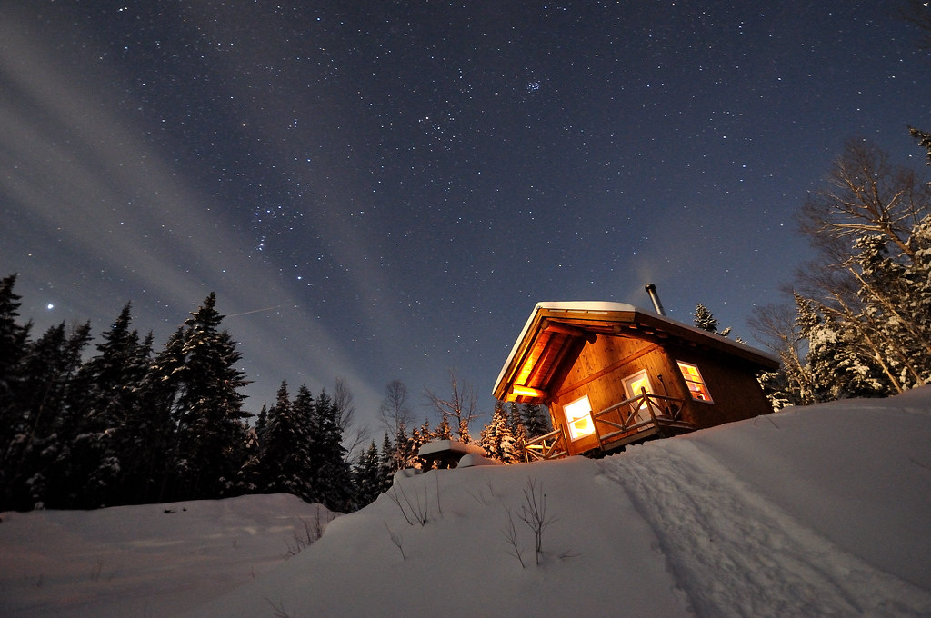
La nuit au Mont Gosford

Saturday-04180

Saturday-04133

Saturday-04103
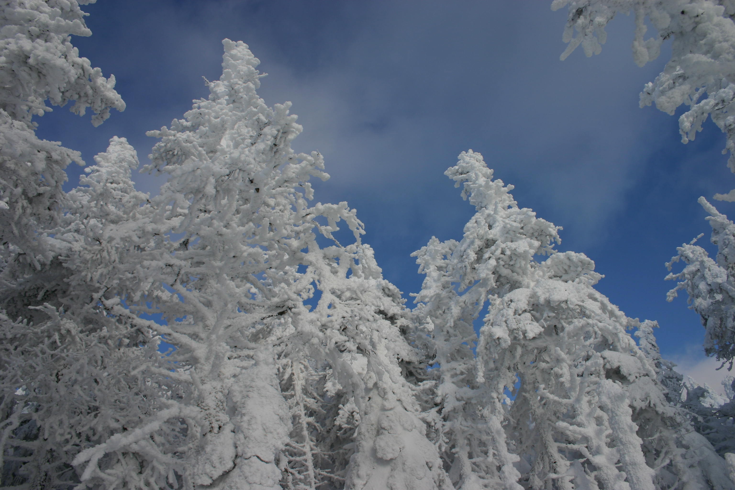
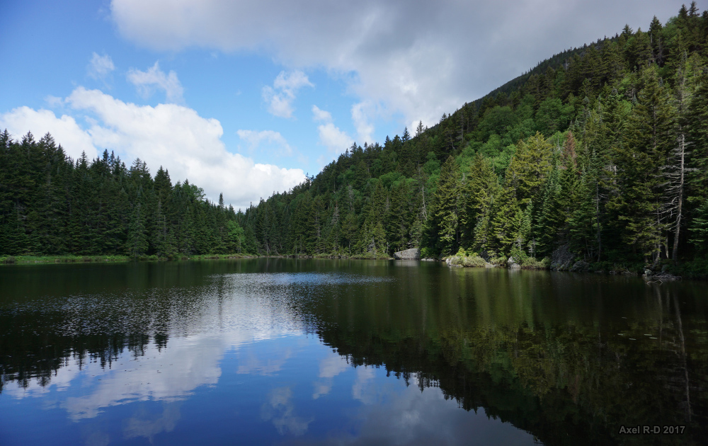
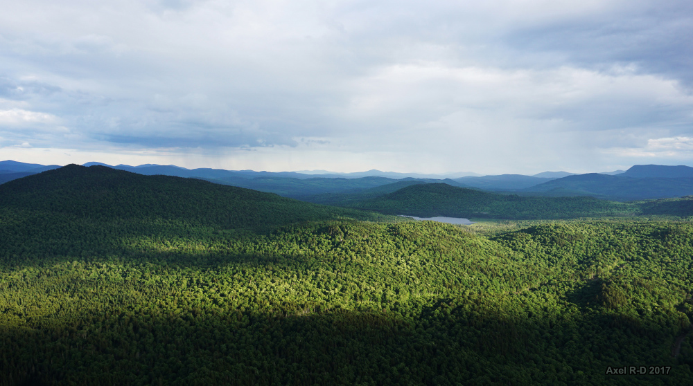
Mont Gosford

Saturday-04077
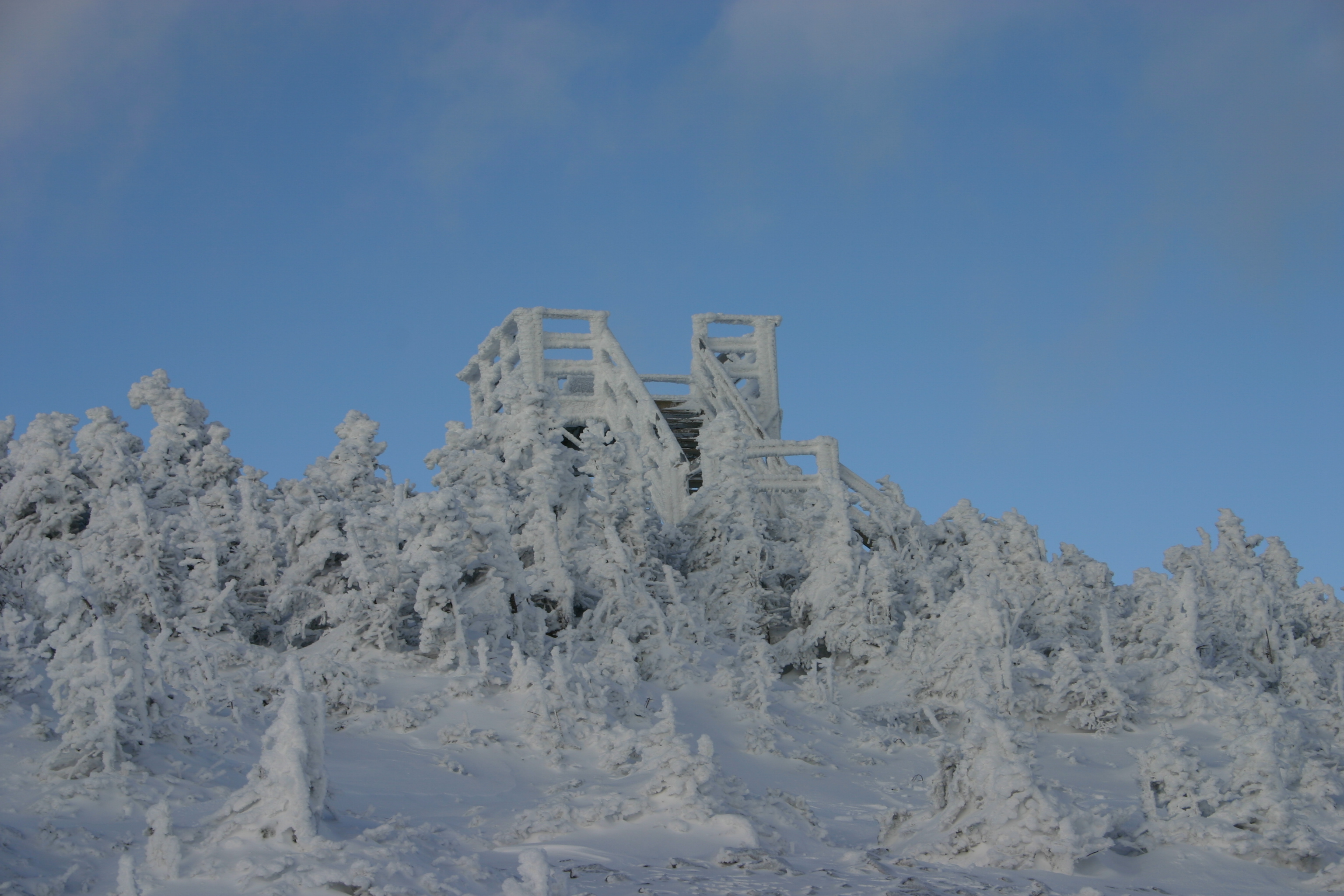
Mont Gosford
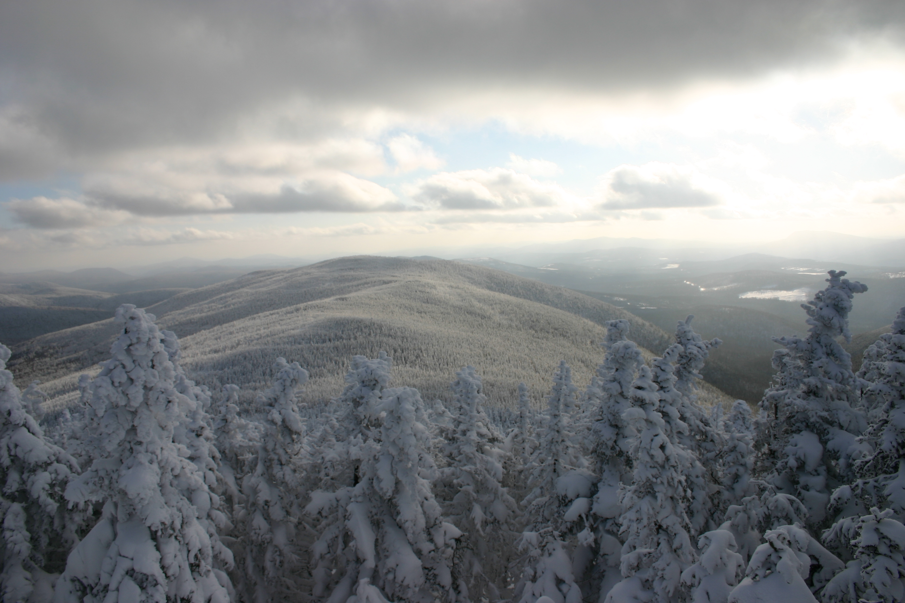
Mont Gosford
Montagne de Marbre
Mont Gosford
Mont Gosford
Montagne de Marbre
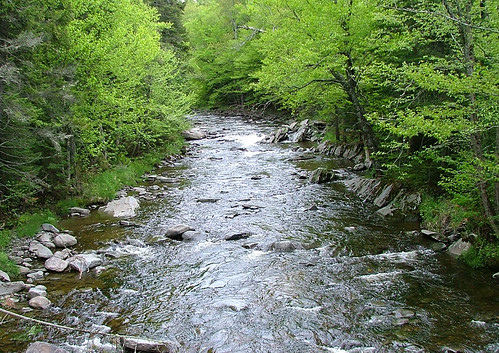
Mountain Stream
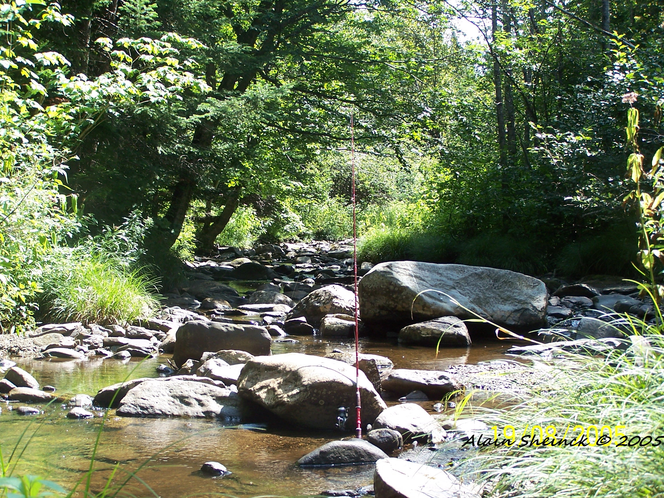
rivière Clinton (pêche),,,Clinton stream (fishing)

Orange d'automne
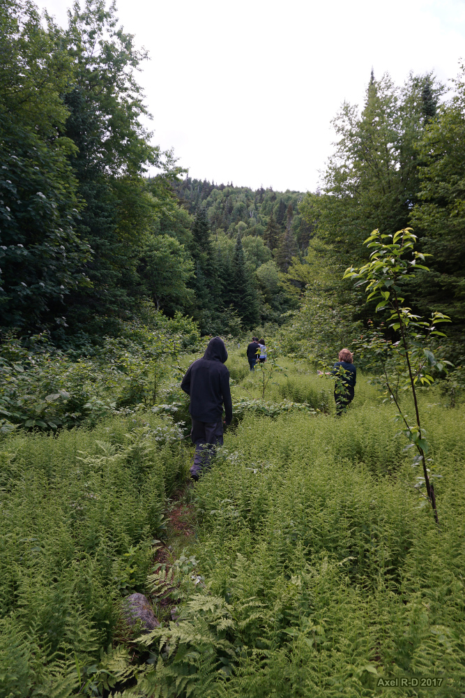
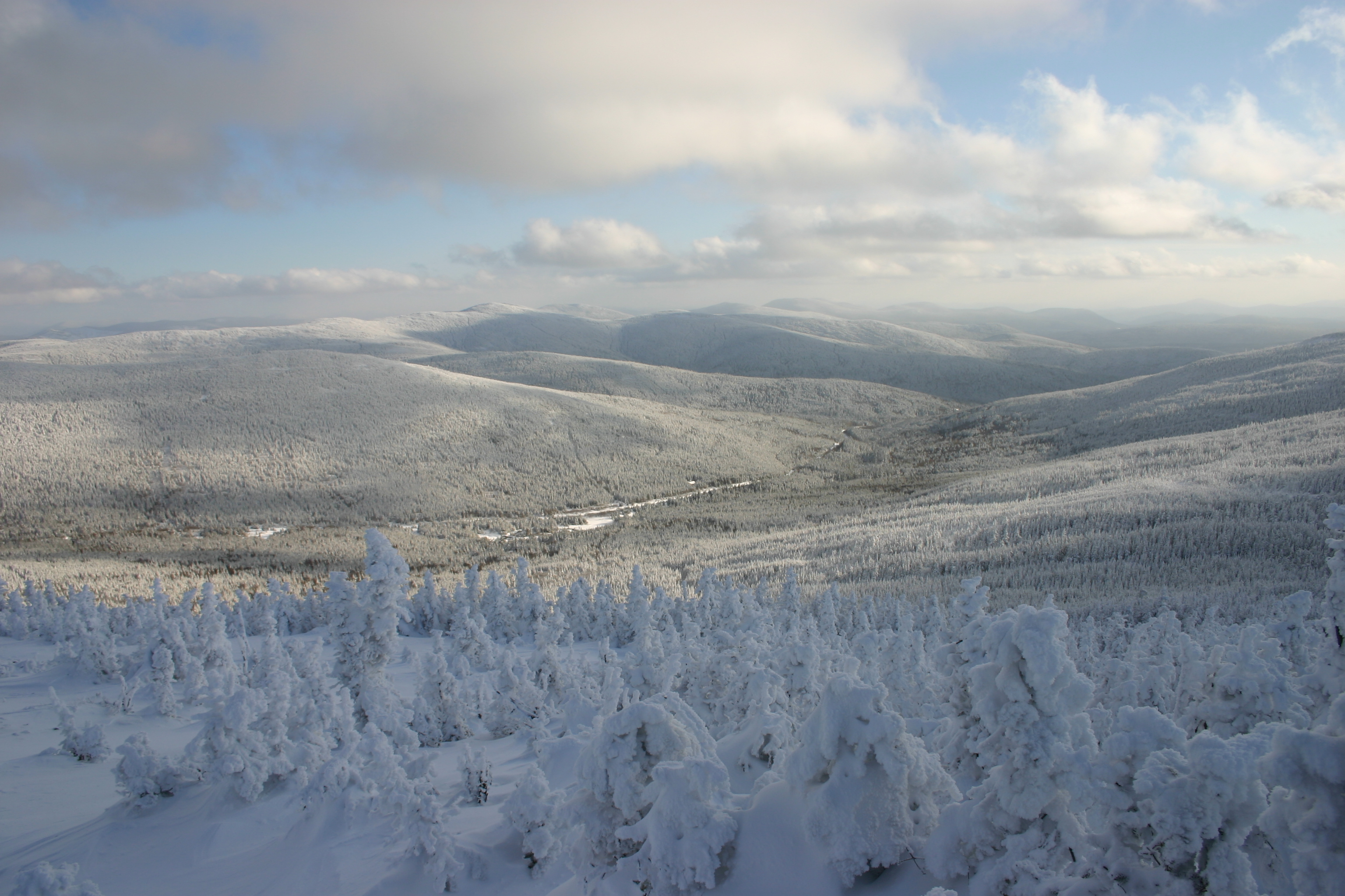
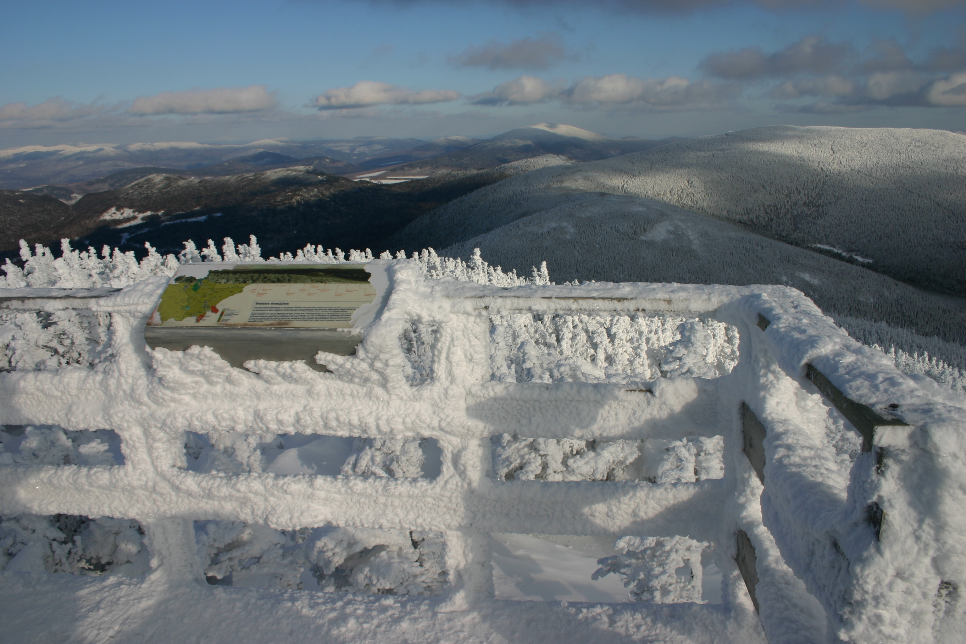
Sentier frontalier - Montagne de Marbre

Saturday-04064
Topographic Map of Lower Black Pond, North Oxford, ME, USA
Find elevation by address:

Places near Lower Black Pond, North Oxford, ME, USA:
Upper Black Pond
Abbie Pond
75 Chemin Du 39
75 Chemin Du 39
75 Chemin Du 39
Notre-dame-des-bois
Chemin Nancy
Saint-augustin-de-woburn
Bosebuck Mountain Camps
Notre-dame-des-bois
Piopolis
Route Chesham
Piopolis
15 Route Saint Hyacinthe, Chartierville, QC J0B 1K0, Canada
3015 Route Chesham
Chartierville
Val-racine
Val-racine
Chemin Beaulé, Piopolis, QC G0Y 1H0, Canada
Mont Megantic
Recent Searches:
- Elevation of Dog Leg Dr, Minden, NV, USA
- Elevation of Dog Leg Dr, Minden, NV, USA
- Elevation of Kambingan Sa Pansol Atbp., Purok 7 Pansol, Candaba, Pampanga, Philippines
- Elevation of Pinewood Dr, New Bern, NC, USA
- Elevation of Mountain View, CA, USA
- Elevation of Foligno, Province of Perugia, Italy
- Elevation of Blauwestad, Netherlands
- Elevation of Bella Terra Blvd, Estero, FL, USA
- Elevation of Estates Loop, Priest River, ID, USA
- Elevation of Woodland Oak Pl, Thousand Oaks, CA, USA